Did you know
The largest of its kind.
The Sgùrr is a ridge of pitchstone, a volcanic glass, and the island's own site calls it the largest ridge of its kind in Europe.
The mile-long pitchstone ridge over the south of Eigg, the largest of its kind in Europe, climbed from the north to 393 metres.
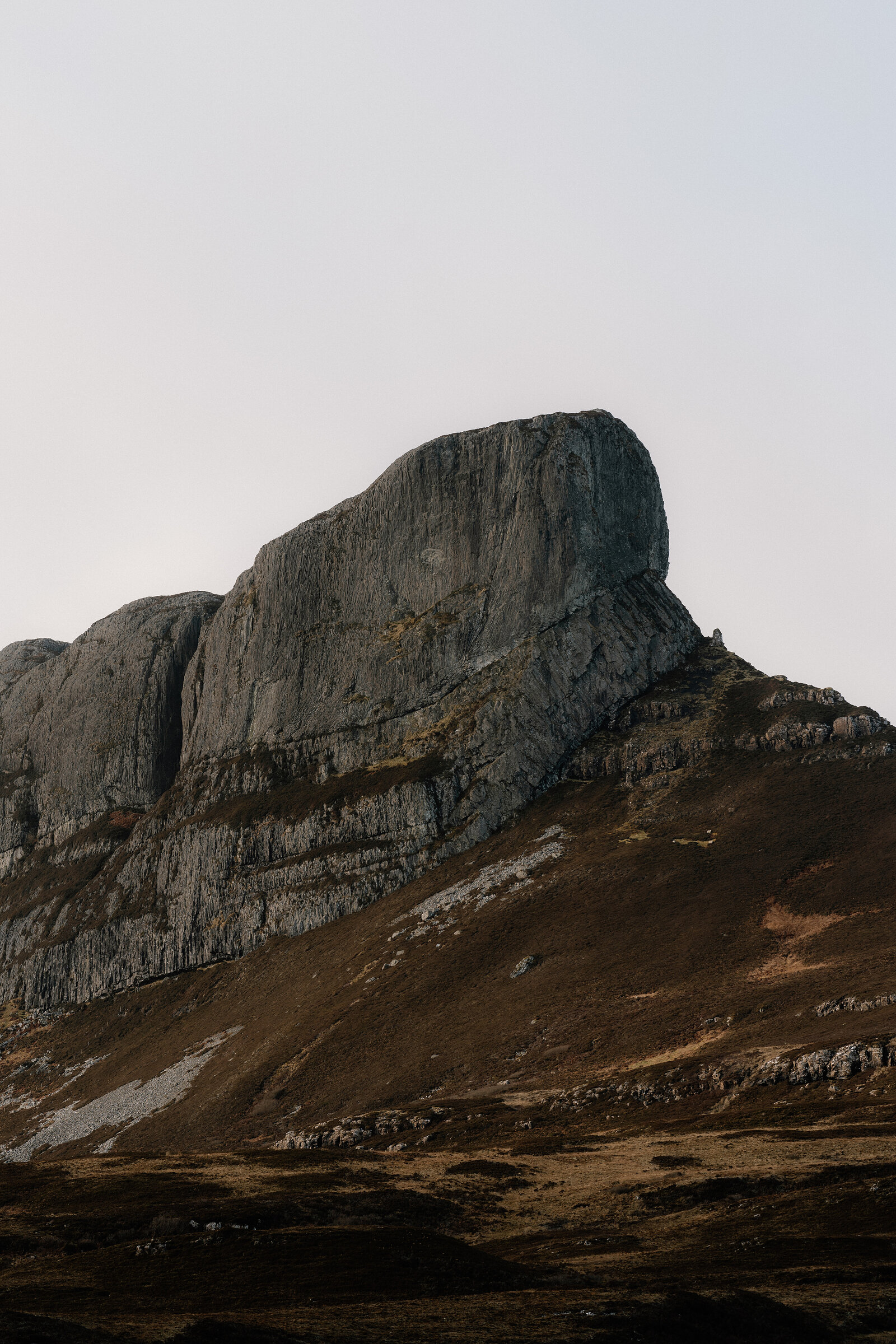
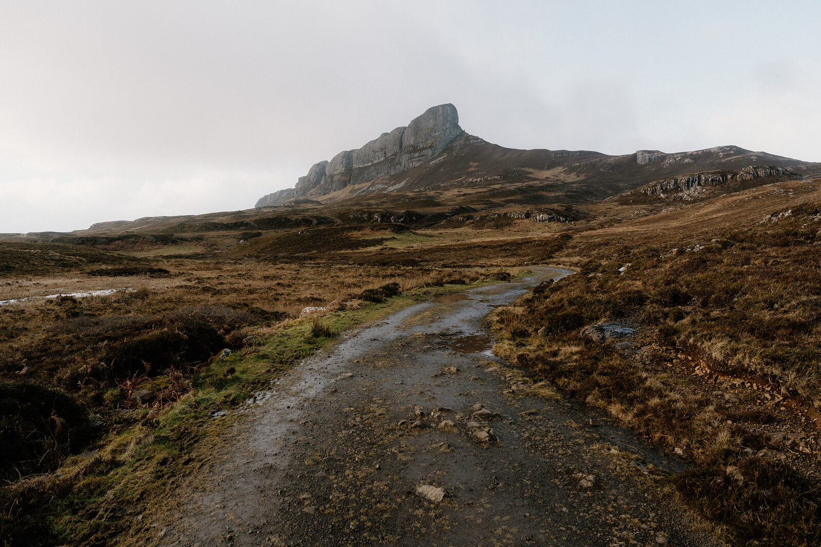
An Sgùrr is the great prow of rock that rises over the south end of Eigg and gives the island its outline from far across the sea.
It is a mile-long ridge of pitchstone, the largest of its kind in Europe, and from the south-east its sheer cliffs look like ground for climbers only. The way up is from the north, and it is a hill walk, not a climb.
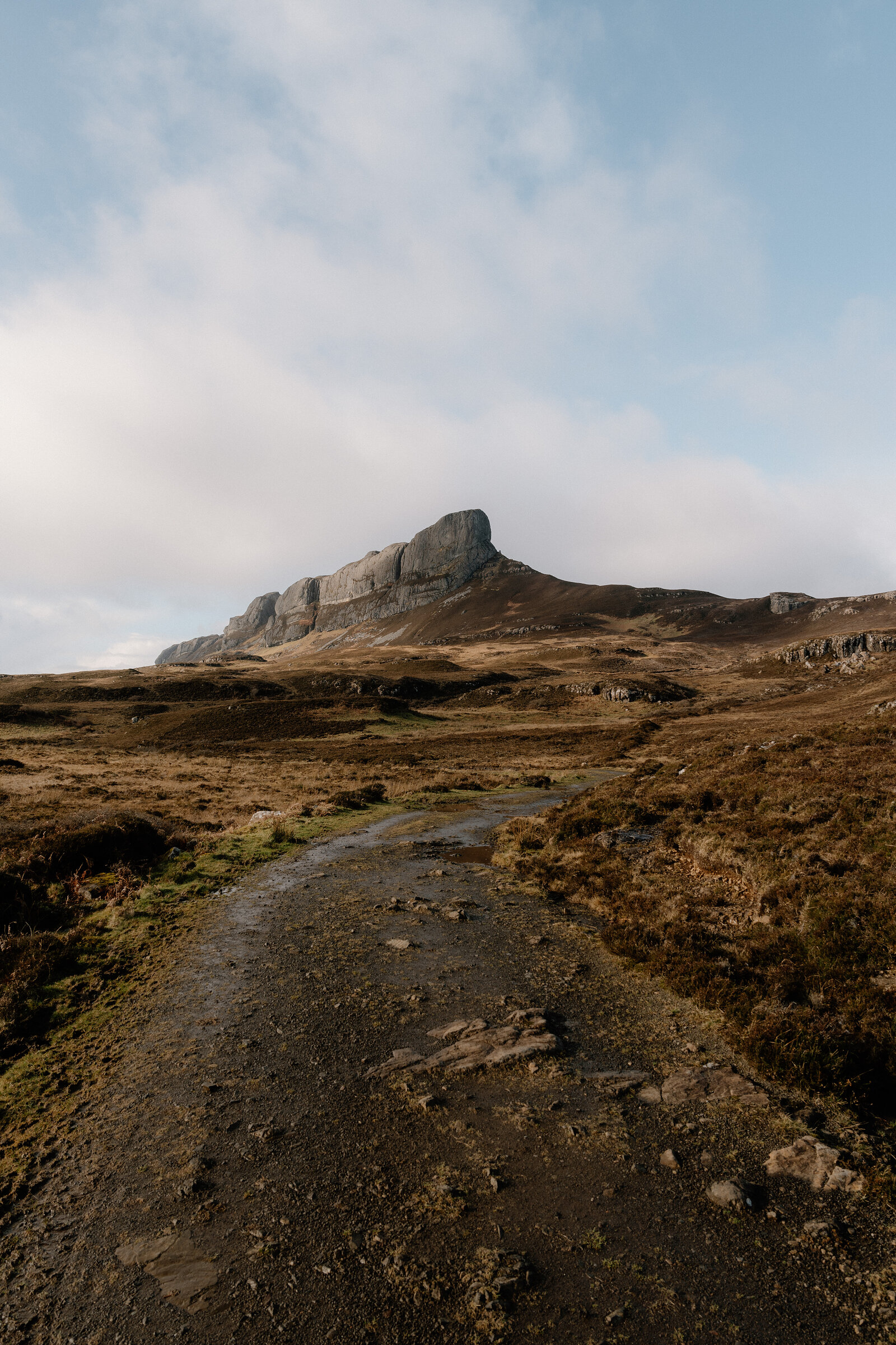
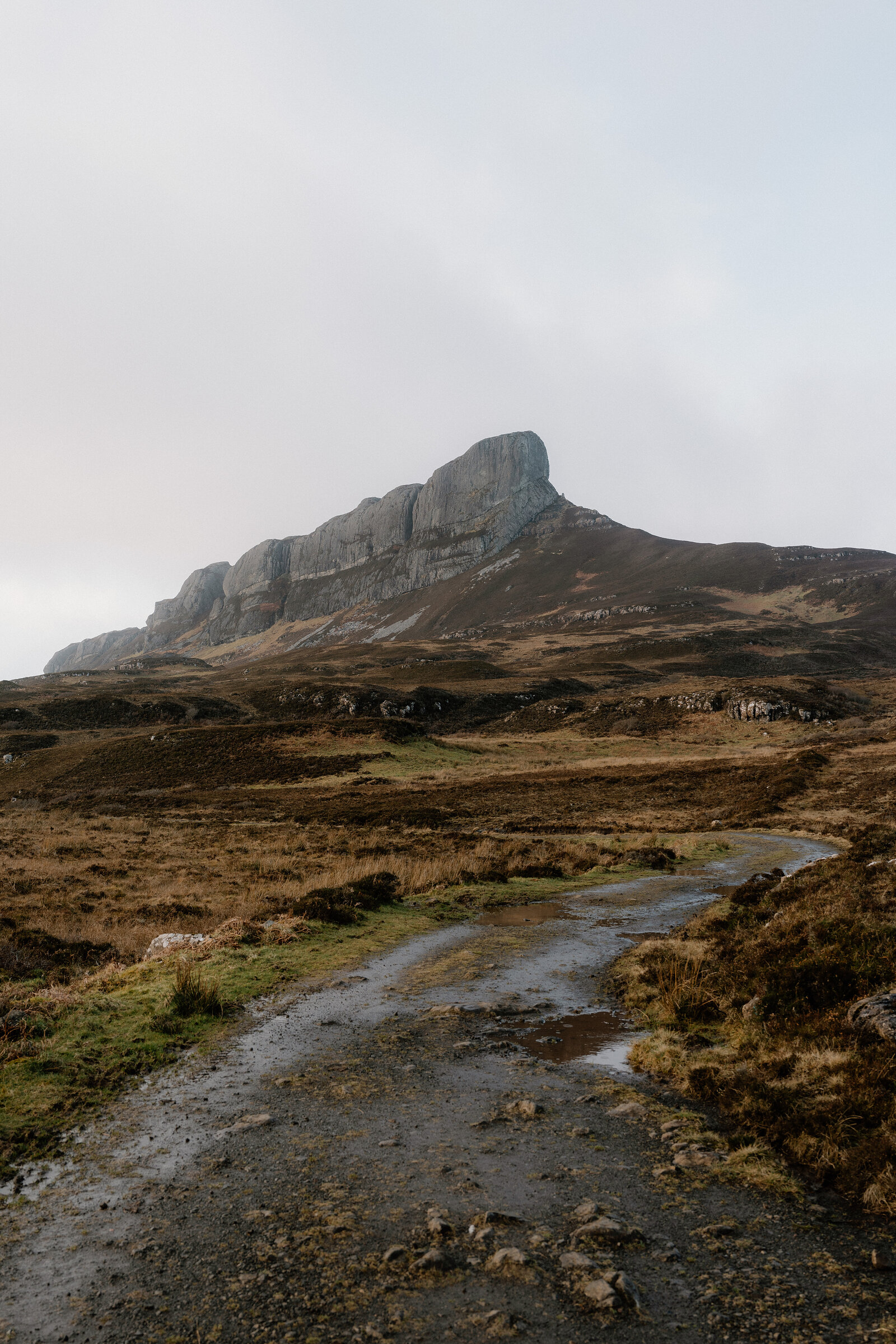
The walk starts from the pier at Galmisdale and is about 7km there and back. The path is boggy in places, and the last stretch to the trig point at 393 metres is over rock. Allow three hours or more, and choose a calm day: the summit is exposed, with steep drops.
The path starts from the pier at Galmisdale.
It is about 7km and three hours there and back, boggy in places, and the last part to the summit is over rock with steep drops close by; go on a clear, calm day. A longer loop of 11.5km and about four and a half hours comes back over rough moor by the ruins of Grulin.
The Sgùrr is a ridge of pitchstone, a volcanic glass, and the island's own site calls it the largest ridge of its kind in Europe.
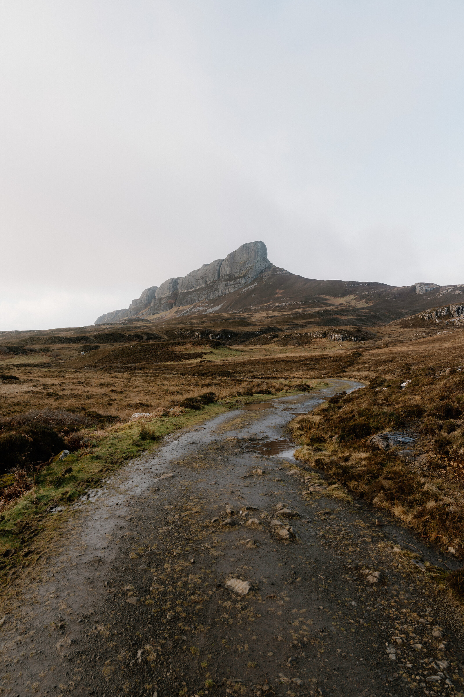
Some 58 million years ago an eruption on Skye sent a flow of hot rock and gas into a river valley here. It cooled into pitchstone, harder than the basalt round it, and when the land wore away the old valley was left standing as a ridge.
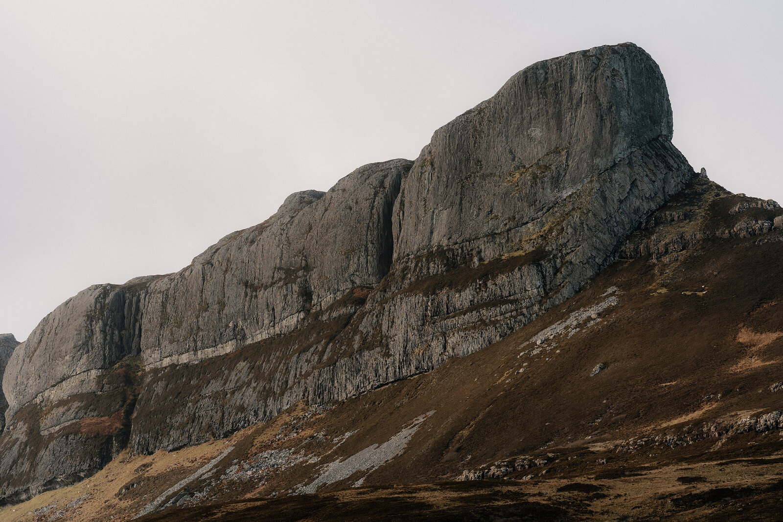
As the pitchstone cooled it cracked into columns at right angles to the old valley sides, and on the summit ridge the joints spread in fan-like patterns.
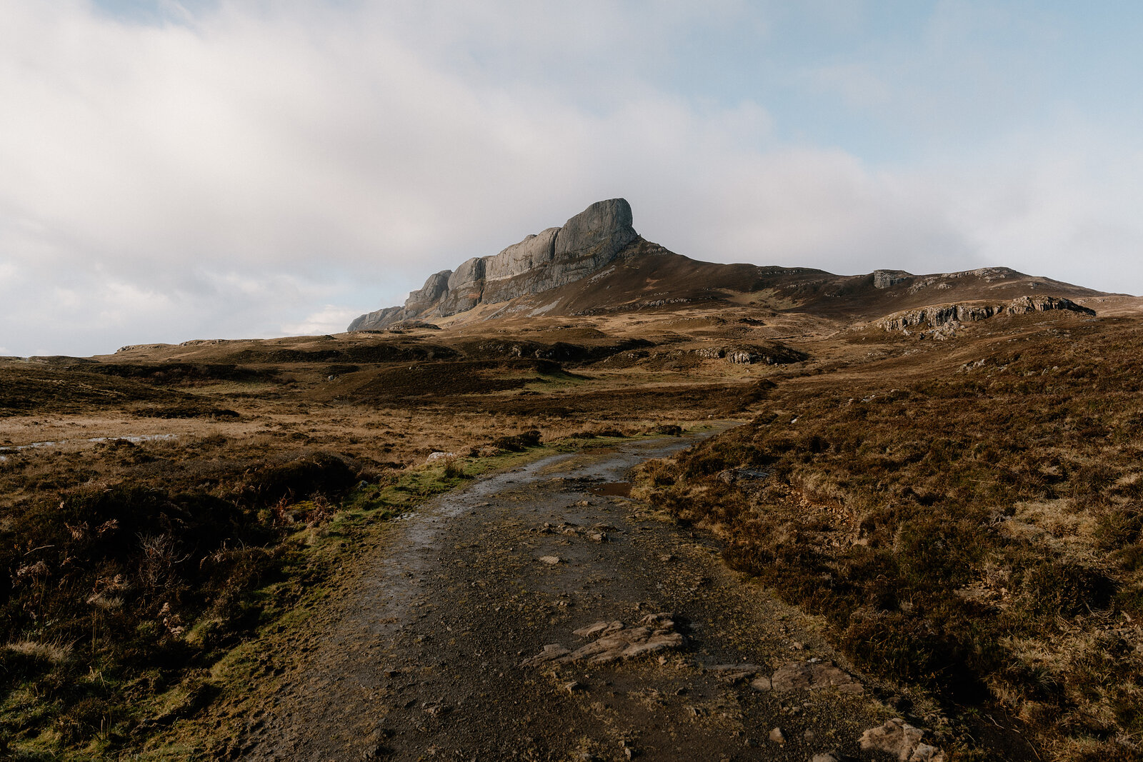
Eigg's own name may come from the Sgùrr: Eag, a notch, for the shape on the skyline. In Gaelic An Sgùrr is simply the sharp peak.
From the saddle you look over Loch nam Ban Mora, the loch of the great women; the round islet by its northern shore was the base of a prehistoric dun, a small fort.
On a clear day the summit shows Rum, Coll, Muck, the Western Isles, Skye, Ardnamurchan and the mountains of Lochaber round the cliffs and coast of Eigg.
New places, news and stories, as we find them.
What is on on EiggAbove Galmisdale, the south end of the Isle of Eigg.
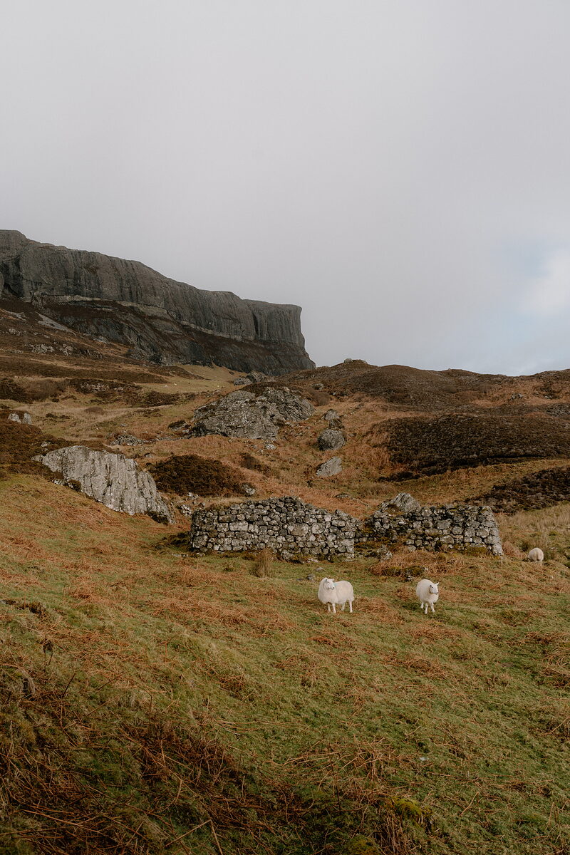 GrulinThe ruins of two townships under the southern cliffs of An Sgùrr, cleared for sheep in 1853.Under a mile1 min by road
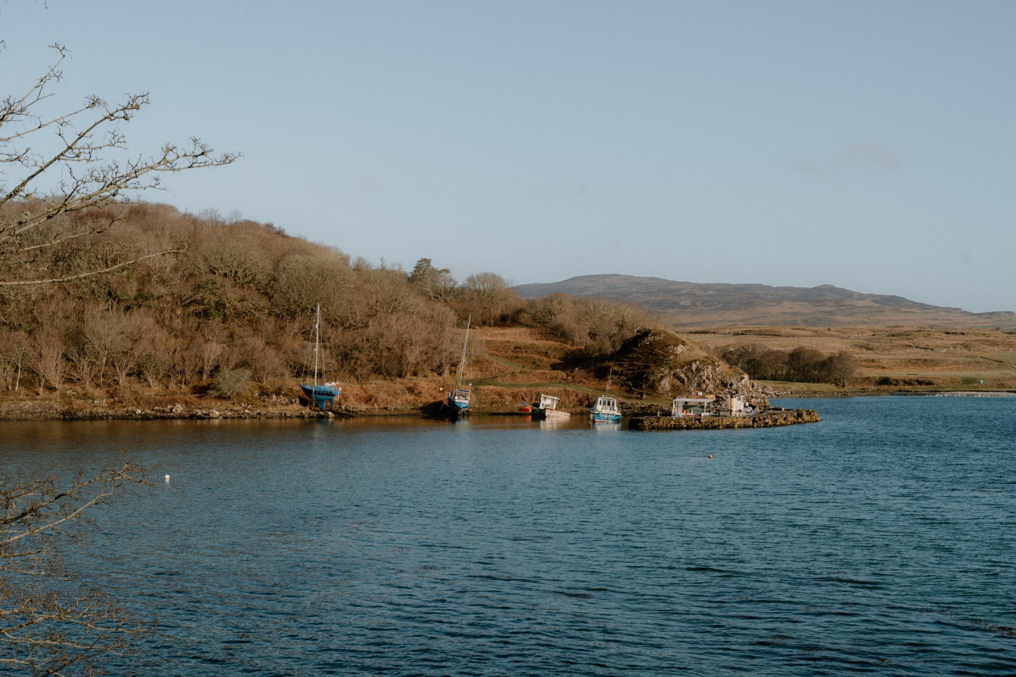 GalmisdaleThe bay where you land on Eigg, with the ferry pier, the old pier and An Laimhrig, the island's community hub.Under a mile1 min by road
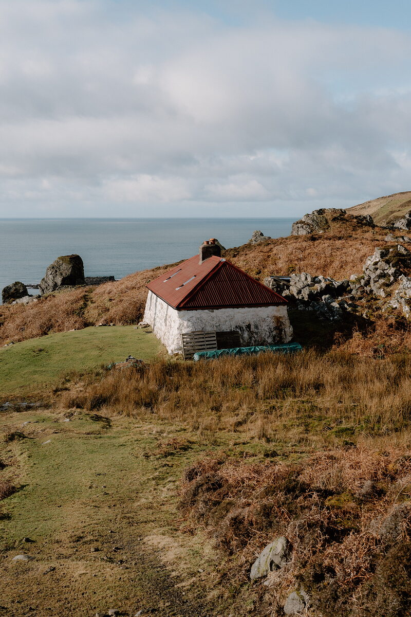 Grulin BothyThe one roofed house left in the cleared township of Grulin on Eigg, a whitewashed shepherd's cottage under An Sgùrr.Under a mile1 min by road
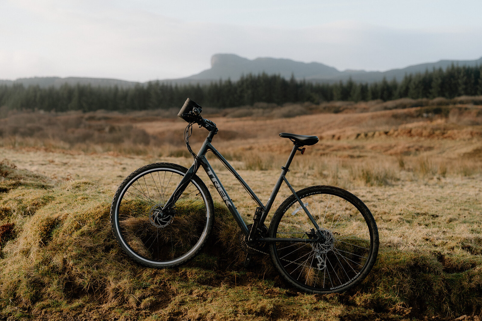 Eigg AdventuresBike, e-bike and kayak hire from the Adventure Shed at the pier, with maps, helmets and a safety talk.Under a mile1 min by road
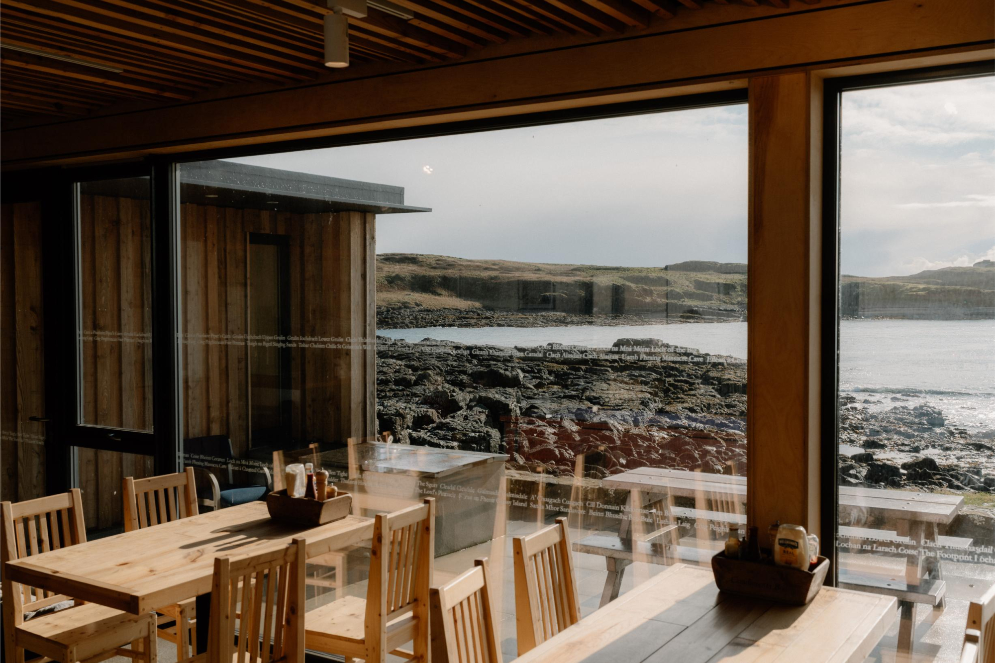 Galmisdale Bay Café & BarThe café and bar at the head of Eigg's piers, with homemade food, big windows over the bay and island beer.Under a mile1 min by road
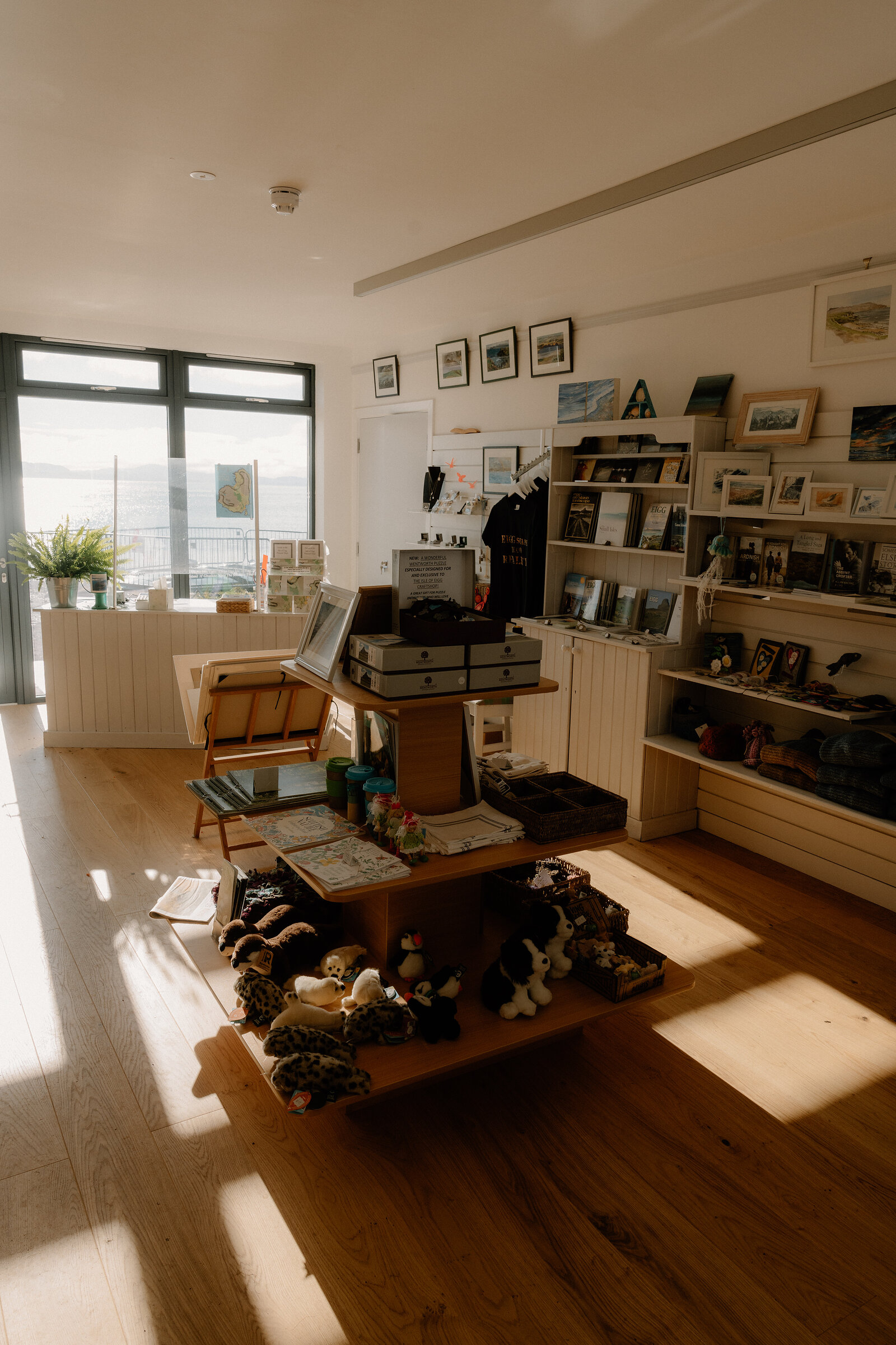 Eigg Craft ShopThe island makers' cooperative at the pier, with Eigg crafts, artwork, knitwear, books and maps.Under a mile1 min by road
Places to stay near the Sgùrr, and when each is next free.
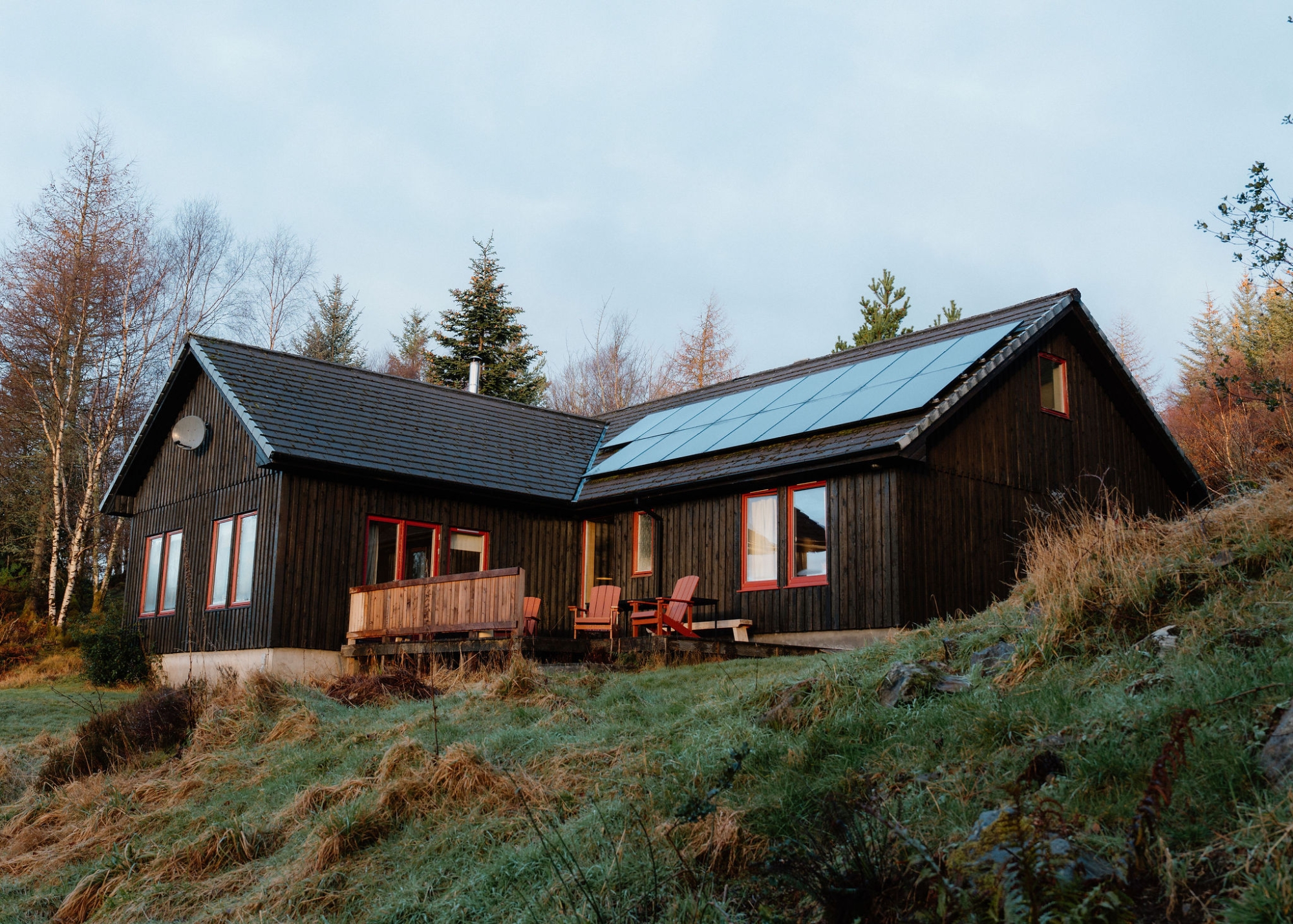 Borradill House
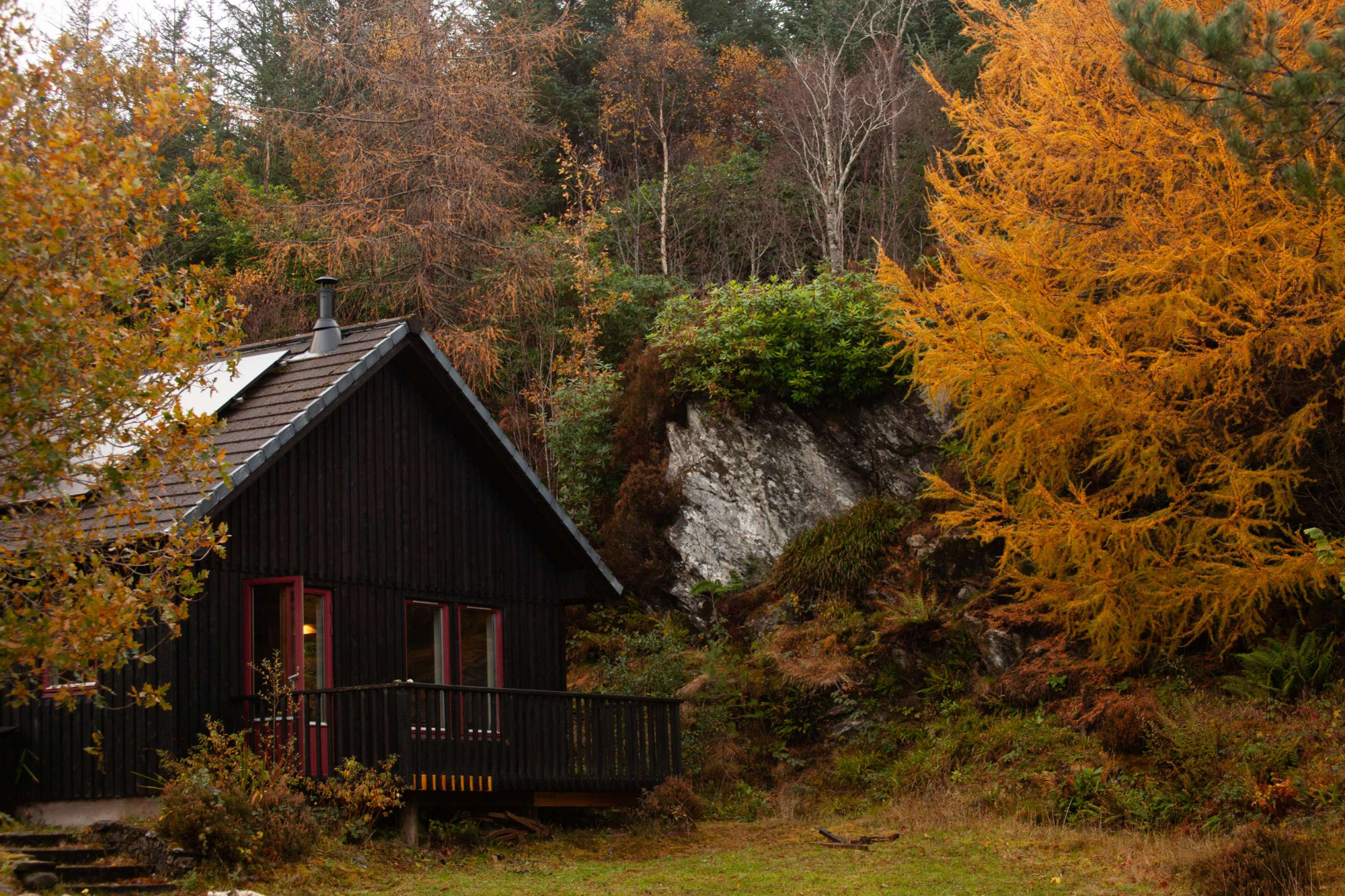 Borradill Cottage
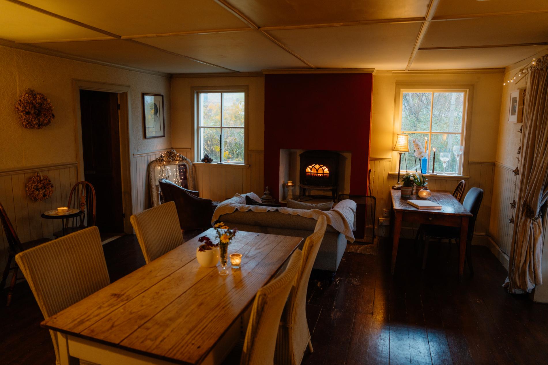 Coruisk House
Every photograph commissioned, every word written by somebody who went. Printed twice a year, made in Scotland.
For further reading, before you go.