
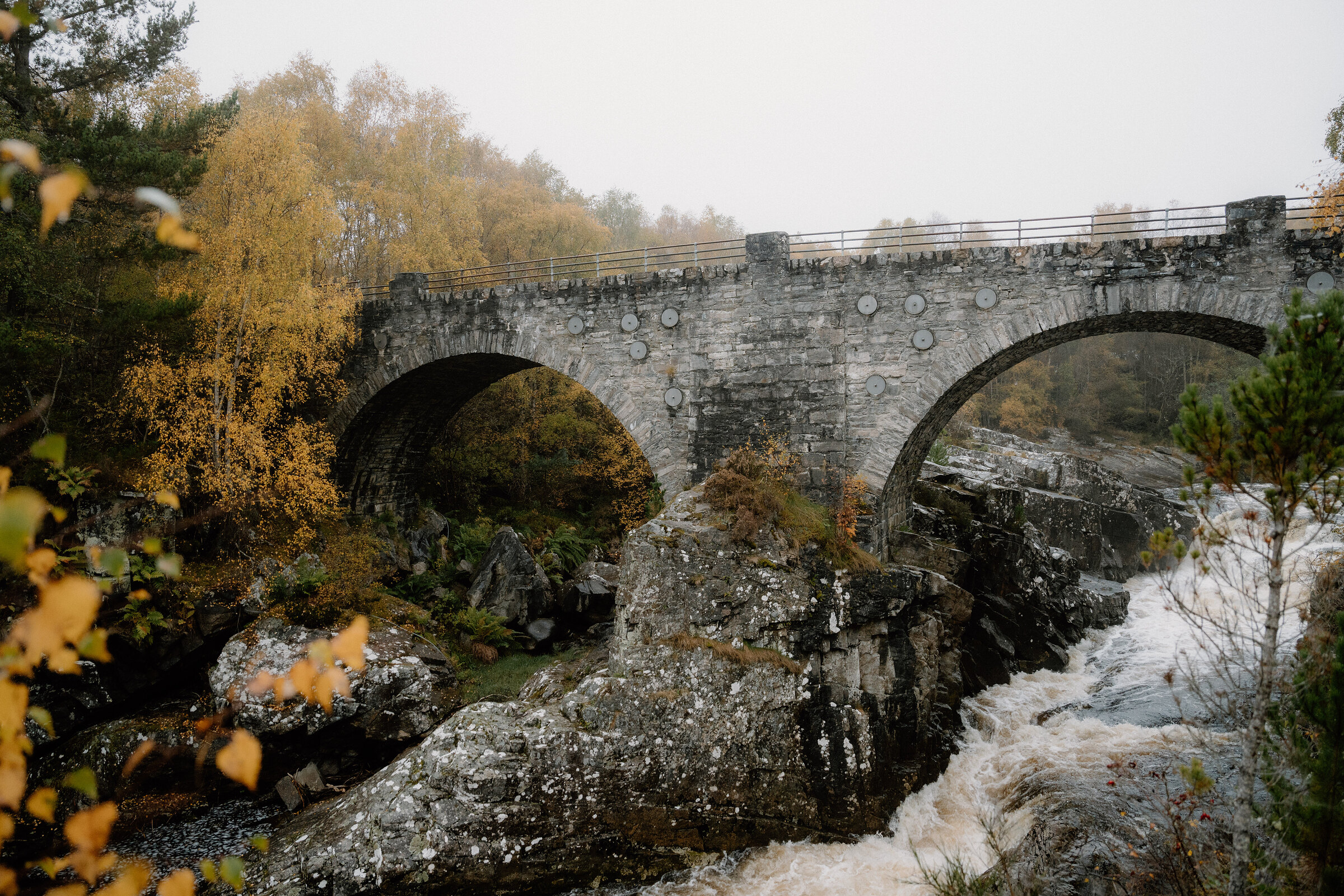
The Black Water – Two Old Bridges and a River in Spate
2 miles · 1½ hours · a loop
free parking · toilets
North of Garve the Black Water comes down through woodland in a run of peaty pools, rapids and small falls, with an old stone bridge at each end.
Forestry and Land Scotland's Two Bridges Trail is a loop of 3.3 km, up one bank and back down the other between them, and it says to allow about an hour and a half. It's a walk for autumn, when, Forestry and Land Scotland says, the native trees are particularly colourful and high water makes the river roar.
Where it starts
Little Garve car park, signed off the A835 about two miles north of Garve: free.
Is it for me?
Tap who is coming, or the day you have, for the answer on this walk.
Before you go
Getting there
IV23 2PU is the nearest postcode. There is another car park at Silverbridge, a mile further up the A835.
On the path
About an hour and a half by Forestry and Land Scotland's Two Bridges Trail, a round of 3.3 km. A riverside walk with steps. Moderate and steep slopes, several flights of uneven steps, and rough, narrow stretches of earth and rock. Steep steps beside a fast river: older children, kept close.
Good to know
All year in daylight, and at its best in autumn after rain. From November to January set off by 1.30pm. Forestry and Land Scotland asks you to keep dogs under control and in sight, on the lead when in doubt: the steps are steep and the river is fast. Public toilets at the Silverbridge car park, at the far end of the walk, run by the Highland Council and usually open all year, Forestry and Land Scotland says; disabled access, no baby changing (the council's record). None at Little Garve. Open water beside the path: watch children closely. Forestry and Land Scotland also warns of ticks: check for them afterwards.
The walk
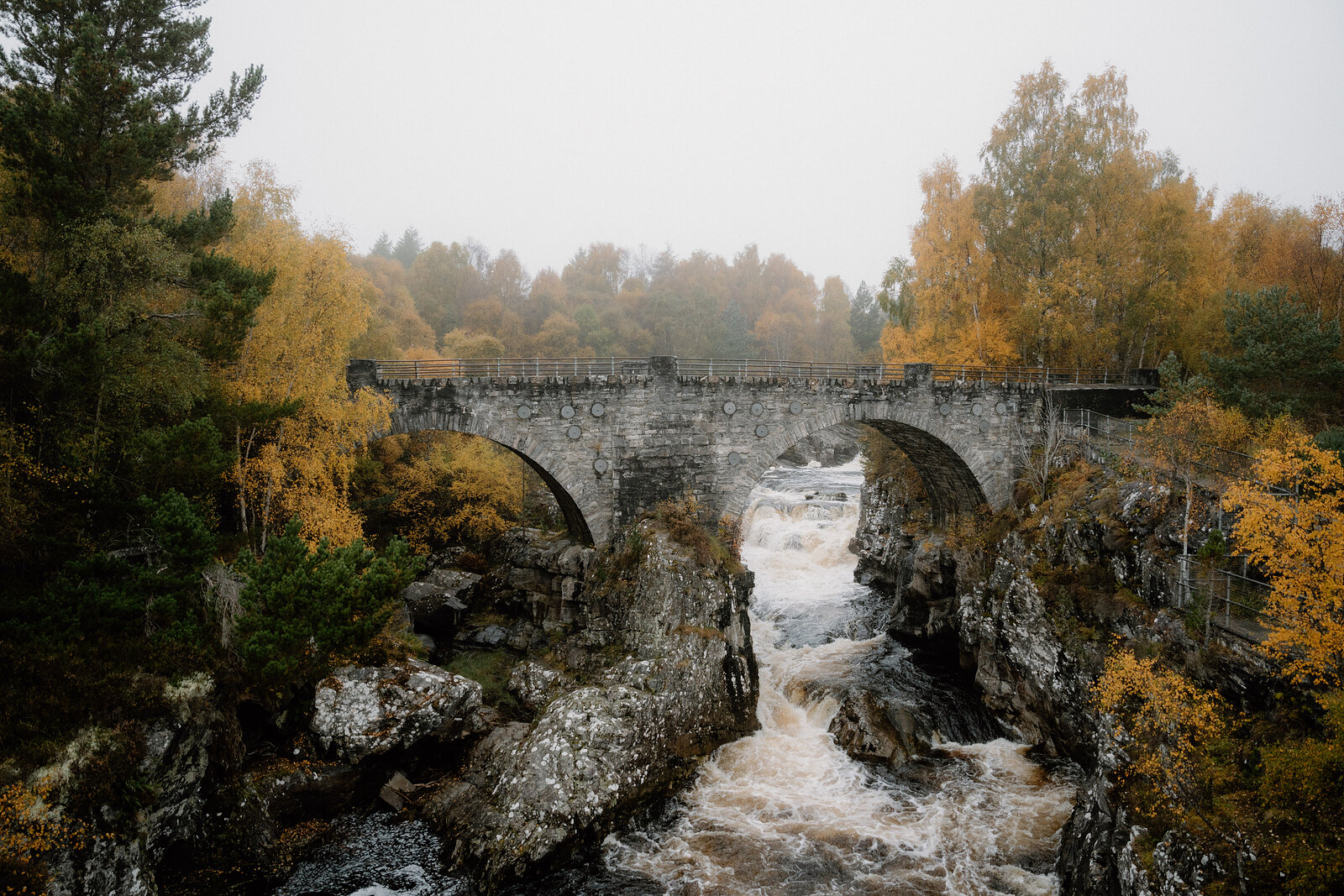
Park at Little Garve, which is signed off the A835 about two miles north of Garve. The Forestry and Land Scotland car park is free, and IV23 2PU is the nearest postcode. The Two Bridges Trail is a waymarked round of 3.3 km beside the Black Water, and Forestry and Land Scotland says to allow about an hour and a half. It runs between two old stone bridges, up one bank of the river and back down the other. The high arch at Little Garve carried a military road built about 250 years ago from Contin to Poolewe on the west coast.
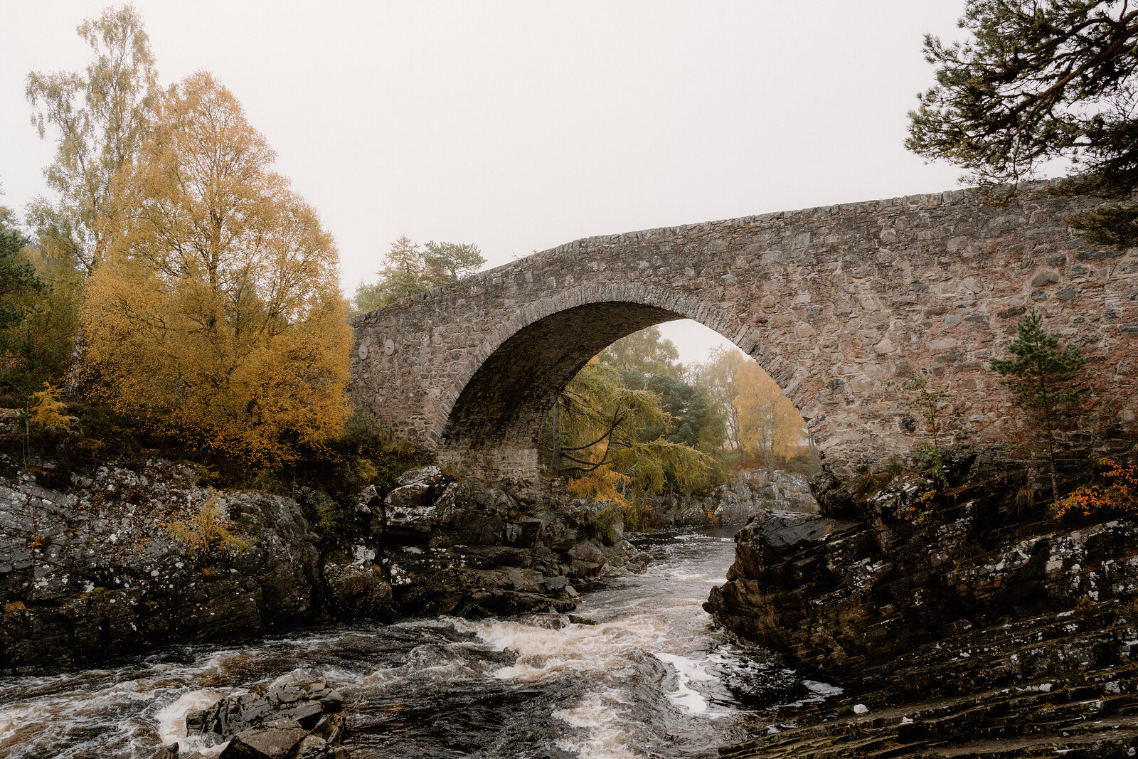
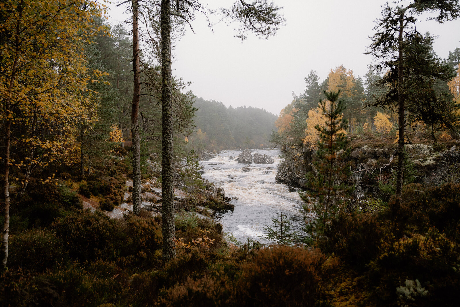
It's known as Wade's Bridge, though it was built by his successor, Major William Caulfeild. At the far end is Silverbridge, which Forestry and Land Scotland says is part of an ancient route used by cattle herders on their way to the markets in the south. Between the two, the river drops through dark, peaty pools and rapids, and it's at its loudest in autumn, when the water is high and, Forestry and Land Scotland says, the native trees are particularly colourful. Look for brown trout in the pools below the bridge. The trail is graded strenuous: there are steep slopes, several flights of uneven steps and some narrow, rocky stretches, so wear boots.
Watch children closely beside the fast water, and keep dogs under control and in sight, on the lead when in doubt, as Forestry and Land Scotland asks. It also warns of ticks here: check for them afterwards. There are no toilets at Little Garve, but there are public toilets, usually open all year, and another car park at Silverbridge, so you can start from that end if you'd rather. The nearest places to eat are in Strathpeffer and Dingwall. From November to January, set off by 1.30pm.
If it rains
The river is at its best after rain, but the path is earth and rock with steps, Forestry and Land Scotland's grading warns of rocky and muddy stretches, and no shelter is mapped along the round, so take the steps slowly. In a downpour, see the bridge at Little Garve from the car park and leave the round for another day.
After the walk
Coffee and cake, something to do with the rest of the day, and dinner, nearest the end of the walk first.
Straight after
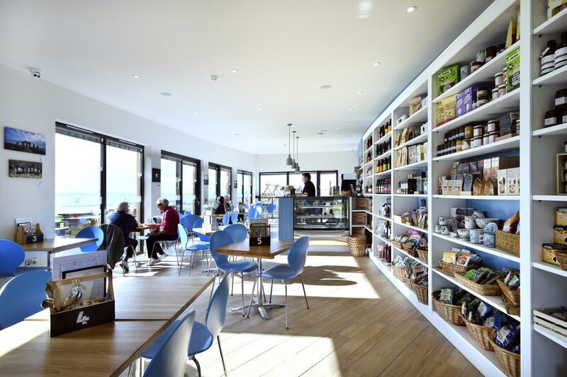 28 min by roadA restaurantHighland Farm CafeA timber eco-café on a farm above the Cromarty Firth near Dingwall, with local food and home baking, a deli of Highland produce, a play area and firth views.
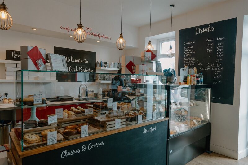 23 min by roadA caféBad Girl BakeryA cake shop and café on the main street of Muir of Ord, baking by hand, with breakfasts, soups and sandwiches, and vegan and gluten-free choices.
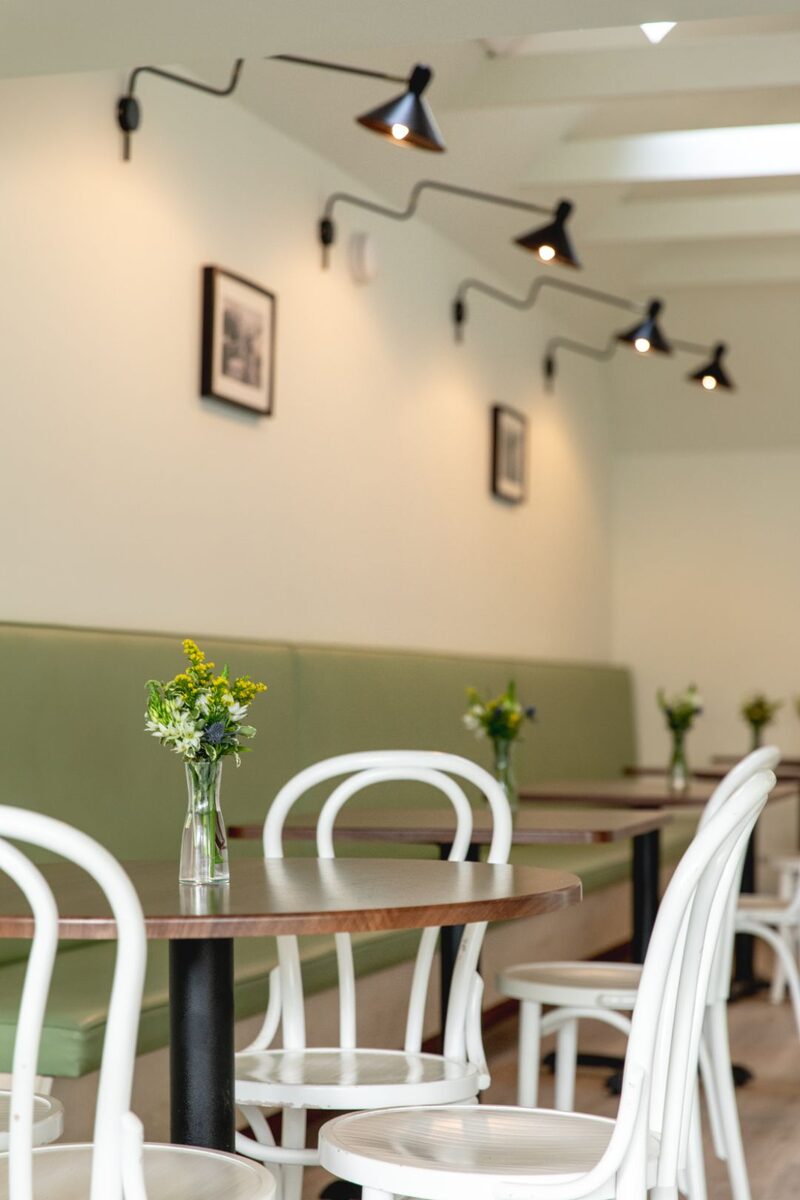 28 min by roadA caféCafe BiagiottiAn Italian pasticceria and coffee bar on the square in Beauly, with bread, pastries, cakes, salads and soup all made in house, and Tuscan coffee.
With the rest of the day
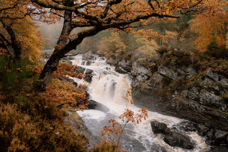
For dinner
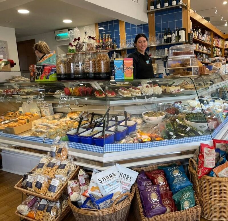
Corner on the Square in Beauly, 28 minutes by road. A licensed deli and eatery on the square in Beauly since 2003, with food made from scratch, cheeses and wines to take home, and a greengrocer next door.
Places to stay near the walk
Our places to stay nearest the start, by road.
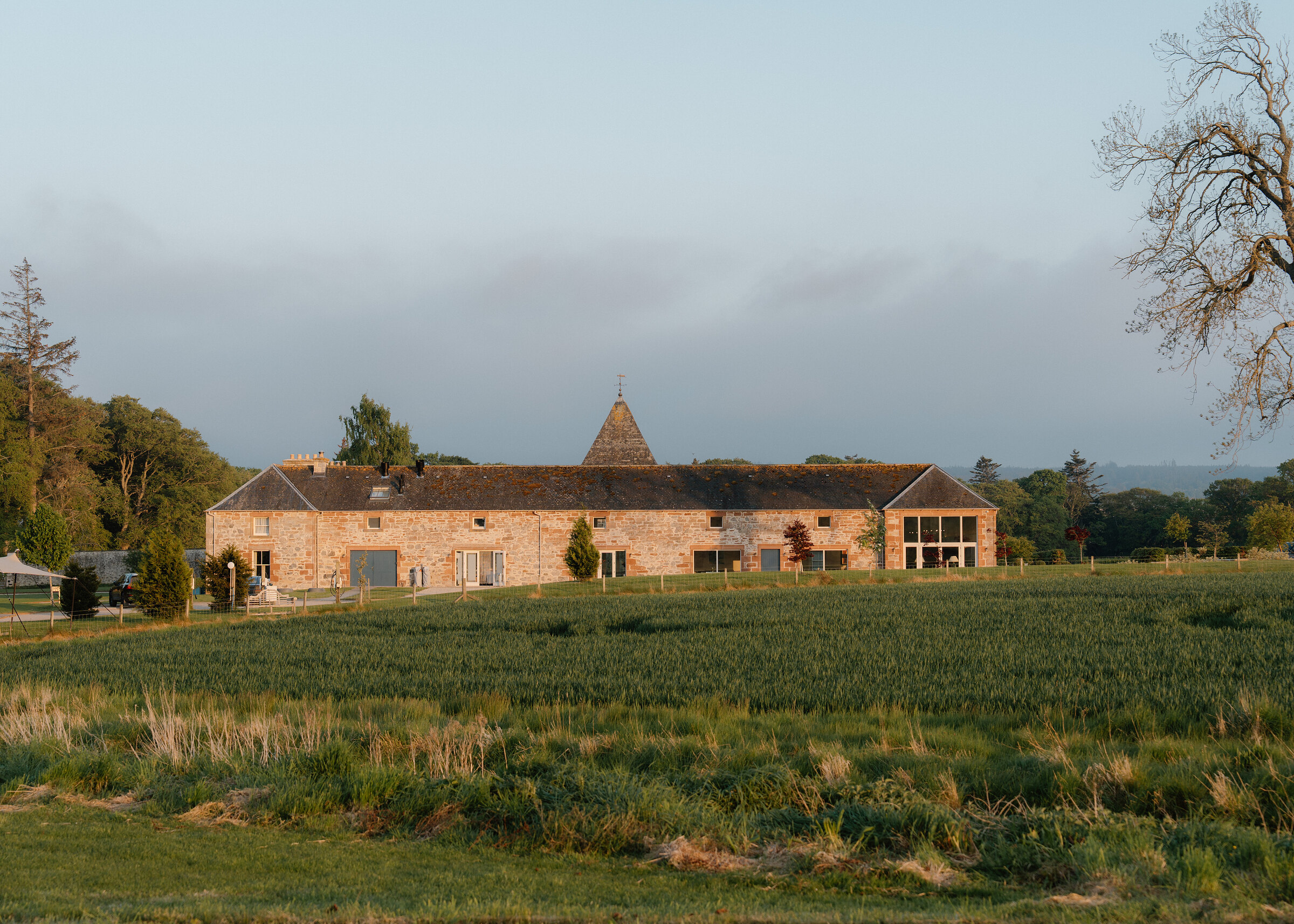
None of ours is close to the start. The nearest is Newhall Mains in Balblair, 27 miles from the start. An advert.
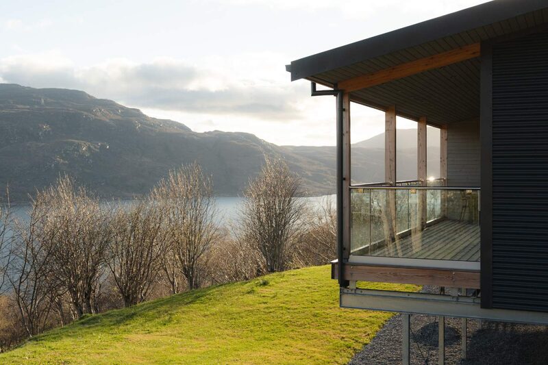
Then Fjell in Braes, Ullapool, 30 miles from the start. Sleeps 2. An advert.
More walks near here
Within a short drive of the start.
Did this walk?
Tell the next person how it went. The best go on this page, with your name.
For further reading, before you go.
Maps from OpenFreeMap © OpenMapTiles, data © OpenStreetMap contributors; heights from Mapzen's terrain tiles.