
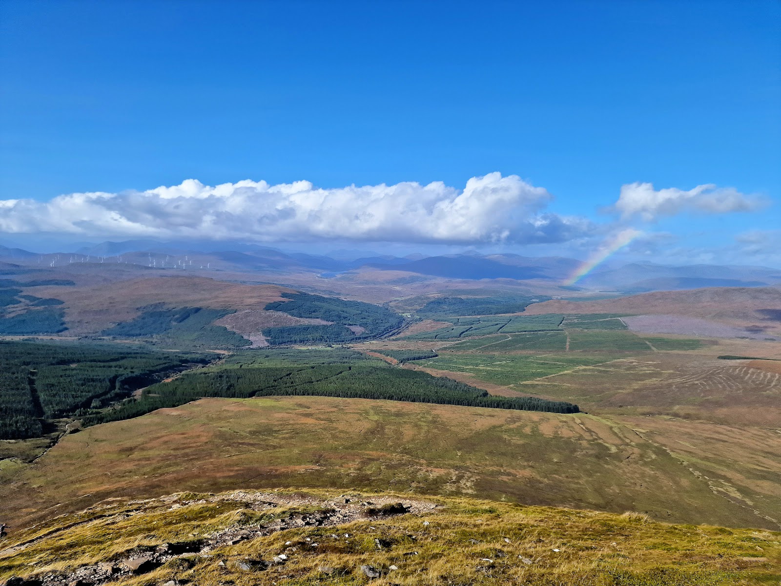
Ben Wyvis – Up An Cabar and Along the Main Ridge
Ben Wyvis stands on its own to the north of Inverness, a high whaleback ridge above forested lower slopes, and Forestry and Land Scotland's route climbs it from a small car park on the A835 between Garve and Loch Glascarnoch.
The path climbs steeply up An Cabar, then heads along the main ridge to the summit, Glas Leathad Mòr, 1,046 metres up. Forestry and Land Scotland gives the route as 4 miles (6.4 km) to the summit, though the path measures nearer 4½ miles (7.3 km) on the map, and says most people take about six hours to the top and back. Out on the hill there are no waymarkers or signposts, so it is a day for walkers who can find their way with a map and compass.
Where it starts
Forestry and Land Scotland's Ben Wyvis car park, on the east side of the A835 between Garve and Loch Glascarnoch: free, but small, and it can fill quickly on busy days, so share a lift if you can.
Is it for me?
Tap who is coming, or the day you have, for the answer on this walk.
Before you go
Getting there
A layby about ¼ mile (400 metres) along the road takes a few more cars. A height barrier at 2.5 metres, for the power lines beside it.
On the path
About six hours to the summit and back for most people, Forestry and Land Scotland says, on its route from the car park to the summit and back the same way, 4 miles (6.4 km) each way by its figure and nearer 4½ miles (7.3 km) by the mapped path. A hill path that climbs steeply up An Cabar, then runs along the high main ridge to the summit at 1,046 metres; no waymarkers or signposts out on the hill. A Munro of 1,046 metres and about six hours there and back, steep up An Cabar: for older children used to hill days, with an adult who can navigate. The map to carry is OS Explorer 437, Ben Wyvis & Strathpeffer (1:25,000); OS Landranger 20, Beinn Dearg & Loch Broom (1:50,000) shows the country round it.
Good to know
All year in daylight, on a clear day with a good forecast. Under snow it is a winter hill, and no avalanche forecast covers it. Start early enough to be down in daylight: most people take about six hours, Forestry and Land Scotland says. From Inverness, the A9 north to the Tore roundabout, then the second exit onto the A835 for Ullapool, and about 21 miles (33.6 km) on it to the car park on the right, between Garve and Loch Glascarnoch. IV23 2PG is the nearest postcode, north of the car park. Start early enough to be down in daylight. Dotterel nest on the summit ridge, Forestry and Land Scotland says, and from April to July ground-nesting birds such as dotterel and ptarmigan are at their most vulnerable to dogs, Mountaineering Scotland says: keep a dog under close control, and on a lead if it chases birds. Toilets none at the car park. The nearest are the Highland Council's at Silverbridge and at Rogie Falls; Forestry and Land Scotland's Rogie Falls page says those open from April to October. Under snow no avalanche forecast covers Ben Wyvis: the Scottish Avalanche Information Service forecasts six other areas.
The walk
Forestry and Land Scotland's route up Ben Wyvis runs 4 miles (6.4 km) from its car park to the summit, it says, though on the map the path measures nearer 4½ miles (7.3 km) each way. Most people take about six hours to walk to the top and back. The path climbs steeply up An Cabar, then heads along the main ridge to the summit, Glas Leathad Mòr, 1,046 metres up. The way home is the same path. Ben Wyvis, Beinn Uais in Gaelic, stands on its own to the north of Inverness, and its high whaleback ridge is a magnet for hill walkers, Forestry and Land Scotland says.
The car park is on the east side of the A835 between Garve and Loch Glascarnoch. From Inverness, Forestry and Land Scotland says, follow the A9 north to the Tore roundabout, take the second exit onto the A835 for Ullapool and stay on it for about 21 miles (33.6 km). For a satnav, IV23 2PG is the nearest postcode, north of the car park. Parking is free, but the car park is small and can fill quickly on busy days, so share a lift if you can. A layby about ¼ mile (400 metres) along the road takes a few more cars. Power lines run beside the car park, so it has a height barrier with 2.5 metres of headroom. Forestry and Land Scotland lists no toilets at the car park. The nearest are the Highland Council's at Silverbridge and at Rogie Falls, and its Rogie Falls page says those open from April to October. Contin and Strathpeffer have shops and places to eat.
Before you set off, Forestry and Land Scotland asks for good walking boots, warm and waterproof clothing, plenty of food and drink, and a torch in case the day runs longer than you expect. Leave word with someone of where you are going and when you will be back. The weather can change quickly, and even on a clear summer day it is often much colder and windier on the hill than down by the road. Check the mountain forecast before you go: the Mountain Weather Information Service's forecast for the Northwest Highlands takes in Ben Wyvis.
The lower slopes are forested, and aspen, birch and rowan grow beside a tumbling burn there, Forestry and Land Scotland says. Above the trees the route is on the open hill, where there are no waymarkers or signposts and the path is not always clear to follow, Forestry and Land Scotland warns. Carry a map and compass and know how to use them. Do not rely only on a phone or a GPS: if the battery fails, you still need to know where you are.
The route climbs steeply up An Cabar, the top at the south-west end of the main ridge. This is the place to take stock. If the cloud is coming down, the wind is rising or anyone is tiring, turn back here: Forestry and Land Scotland asks walkers to turn back if they get tired. It is still checking how recent storms have affected its land, so follow any local signs, and turn back if anything looks unsafe.
From An Cabar the route heads along the main ridge to the summit. Dotterel, a rare migratory bird, nest in the fragile carpet moss of the summit ridge, Forestry and Land Scotland says. From April to July ground-nesting birds such as dotterel and ptarmigan are at their most vulnerable to disturbance from dogs, Mountaineering Scotland says. Keep a dog under close control, and on a lead if it is inclined to chase birds.
Under snow, no avalanche forecast covers Ben Wyvis. The Scottish Avalanche Information Service forecasts six other areas, from Lochaber and Glencoe to the Cairngorms and Torridon, and that is no sign there is no risk here.
The summit, Glas Leathad Mòr, is 1,046 metres up, at grid reference NH 462 683, by the Database of British and Irish Hills. On a clear day the top has views to the Cairngorms and the Fannichs, Forestry and Land Scotland says.
The way down is the way you came, back along the ridge, down An Cabar and through the lower slopes to the car park. Most people take about six hours to the summit and back, Forestry and Land Scotland says, so leave plenty of daylight for the walk home. When you get back, check for ticks and take any off quickly: they can carry Lyme disease, Forestry and Land Scotland warns.
If it rains
In rain, low cloud or a high wind, leave the summit for another day: out on the hill there are no waymarkers or signposts. For a Plan B, Forestry and Land Scotland points to Little Garve's riverside walk and the short walks at Rogie Falls, both nearby.
After the walk
Something to do with the rest of the day, nearest the end of the walk first.
With the rest of the day
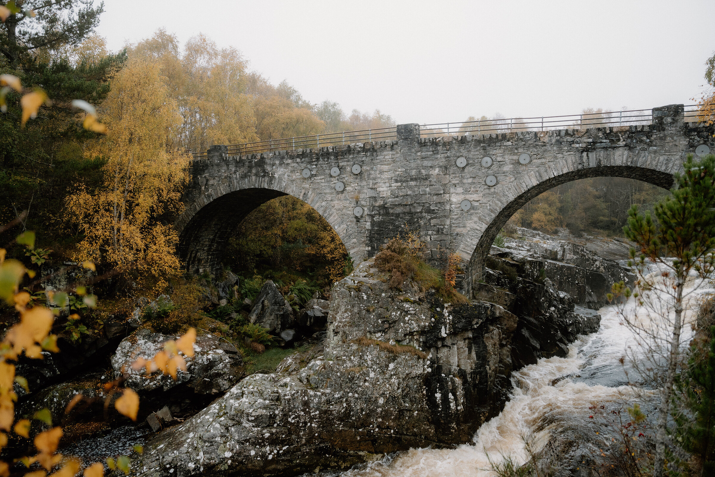
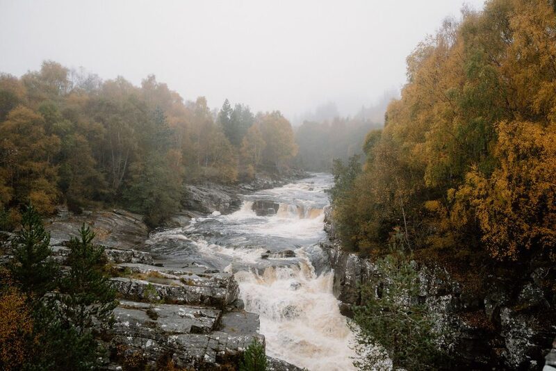 3 min by roadThings to doBlack Water FallsRapids and falls on the Black Water just north of Garve, below the old double-arched Silverbridge, with a riverside circuit through the birchwoods.
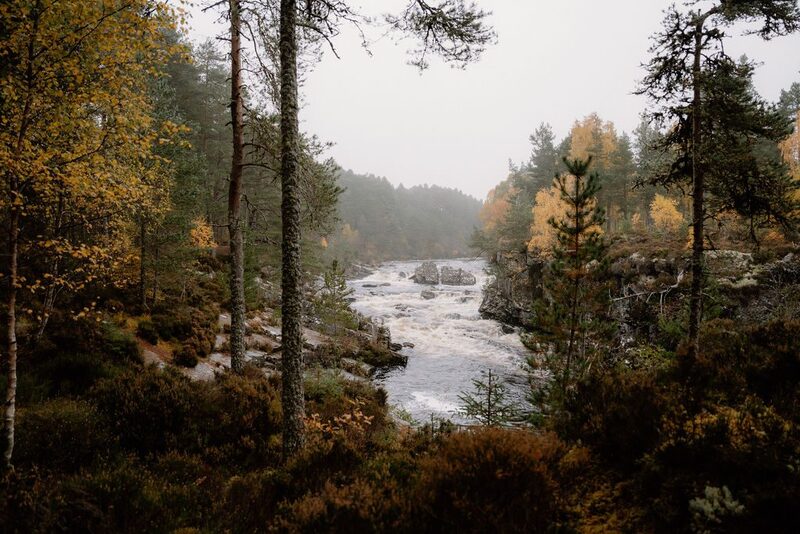 9 min by roadThings to doLittle Garve BridgeA high-arched stone bridge of around 1762 over the Black Water near Garve, built for the military road to the west coast and known, wrongly, as Wade's Bridge.
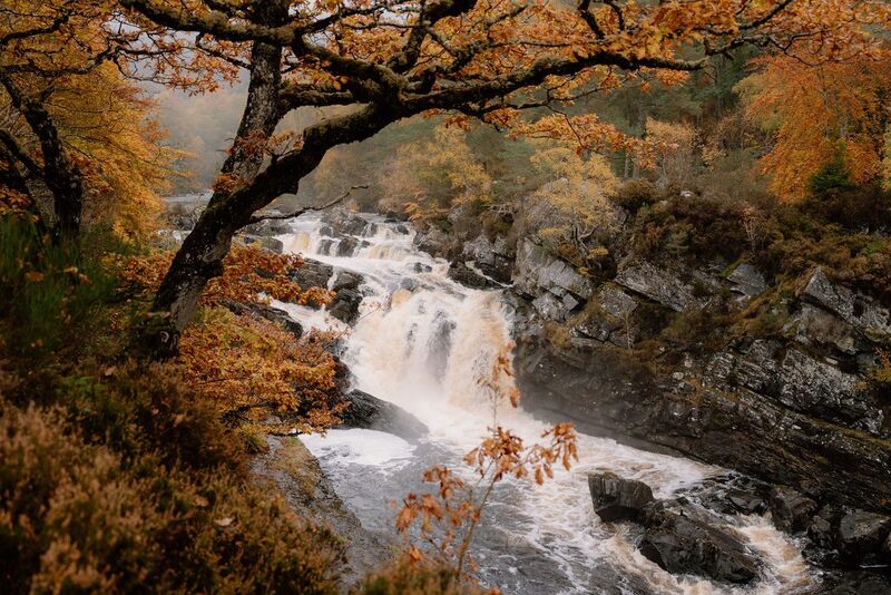 11 min by roadThings to doFalls of RogieA tumbling waterfall on the Black Water near Contin, crossed by a suspension bridge, where wild salmon leap the falls in autumn.
More walks near here
Within a short drive of the start.
Did this walk?
Tell the next person how it went. The best go on this page, with your name.
For further reading, before you go.
- Ben Wyvis, visitor information and the route, Forestry and Land Scotlandforestryandland.gov.scot↗
- Ben Wyvis, Forestry and Land Scotlandforestryandland.gov.scot↗
- Ben Wyvis, local alerts, Forestry and Land Scotlandforestryandland.gov.scot↗
- Mountain access and safe hillwalking, Forestry and Land Scotlandforestryandland.gov.scot↗
- The Northwest Highlands mountain forecast, the Mountain Weather Information Servicemwis.org.uk↗
- Avalanche forecasts, Scottish Avalanche Information Servicesais.gov.uk↗
- Taking the dog on the hill, Mountaineering Scotlandmountaineering.scot↗
Photograph by Damian Kurczyk via Google
Maps from OpenFreeMap © OpenMapTiles, data © OpenStreetMap contributors; heights from Mapzen's terrain tiles.