
Loch Eriboll – A Walk Down to Ard Neakie's Lime Kilns
1½ miles · 1½ hours · there and back
dogs welcome
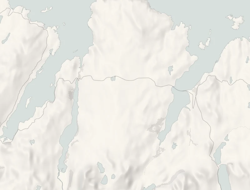
Loch Eriboll is the longest of the sea lochs on Scotland's north coast, and on its east shore a green knoll is tied to the land by a curve of pale shingle.
This half day walks down to Ard Neakie and its great Victorian lime kilns, then crosses the moor for lunch at the Tongue Hotel.
Where it starts
Start at the lay-by beside the A838 on the hill above the spit, with an information board.
Is it for me?
Tap who is coming, or the day you have, for the answer on this walk.
Before you go
On the path
About an hour and a half, with the walk of 1.2 km each way down to the shore and back up. The view is from the lay-by beside the road; the way down is the road and a track, and the spit is shingle. Open water by the kilns and the jetty: keep children close.
Good to know
All year. About 10.15am.
The walk
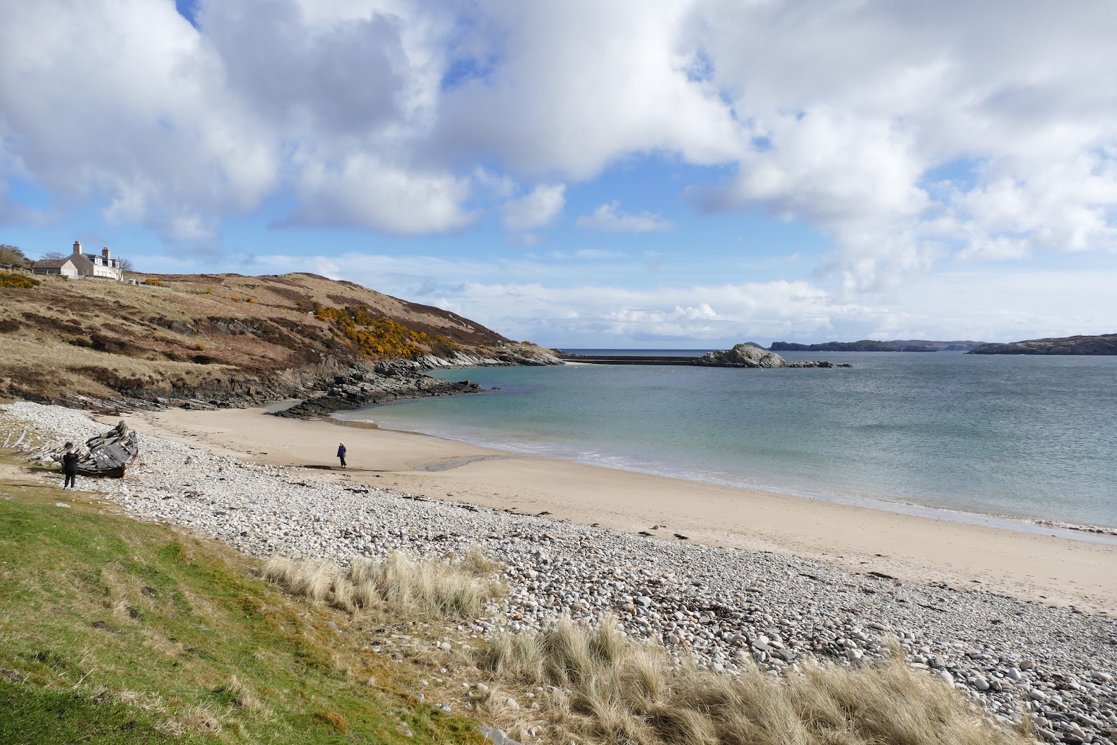
Ard Neakie is a green near-island on the east shore of Loch Eriboll, tied to the land by a curving neck of shingle with a bay on either side. Park in the lay-by beside the A838 on the hill above it, where there's an information board and a view straight down onto it. From there it's a walk of about 1.2 km down the road and along the track to the shore, so keep to the verge on the road.
Four great lime kilns are built into the rock, two pairs from the early 1870s, with a small jetty in front where the lime was loaded onto boats. Spread on the land, the lime was used to try to improve the peaty soil. The old ferry house beside them was built in 1831 for the Heilam ferry, which crossed the loch until the road round its head was finished in the 1890s.
Give it an hour on the shingle and around the kilns, then walk back up to the car, a steady climb.
If it rains
Only lunch is under a roof. In rain the view from the lay-by is the thing to see, and the walk down is on a road and a track, but the shingle and the rocks round the kilns are slippery when wet, so take boots with a good grip.
On the way
- Moine House
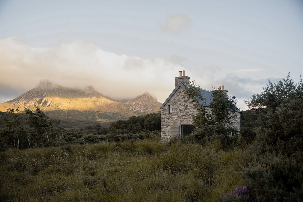
Moine House is a roofless cottage beside the A838, halfway across the wide bog between the Kyle of Tongue and Hope, with a small car park and information boards. The Duke of Sutherland built a road over the bog in 1830, and the house marked the halfway point, where its tenants had to offer travellers hospitality. It's right beside the road, so stopping adds about a minute of driving.
Afterwards
16 min by car
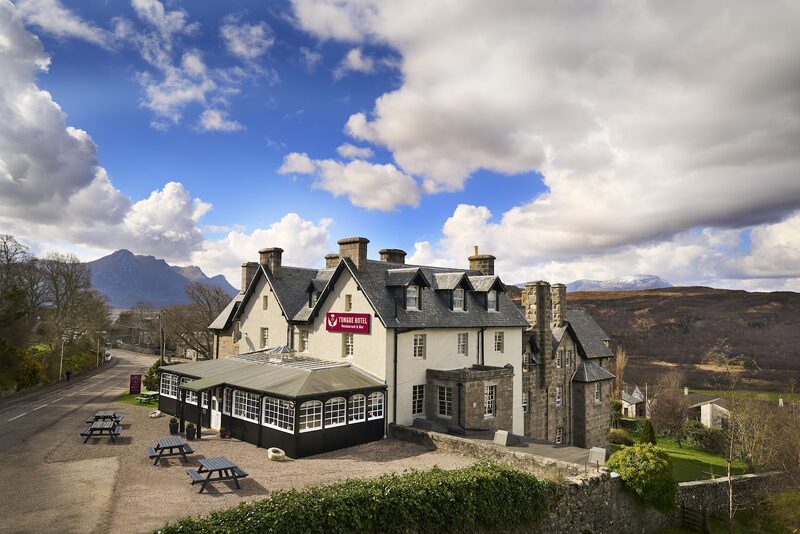
The Brass Tap Bar, Tongue Hotel
Lunch
The Tongue Hotel is 16 minutes' drive east, over the moor and across the causeway, in the middle of the village. Lunch is in its Brass Tap bar in the summer season, and in the hotel's main bar while the Brass Tap is closed for the winter. Food is served every day from noon to 5.30pm, walk-ins are welcome when there's room, and for a larger group it's best to ring 01847 611206. Anyone can eat there, not only the hotel's guests, and dogs are welcome in the bars when it isn't too busy. The hotel's Varrich Bar has a fire for tea and scones.
After the walk
Coffee and cake, something to do with the rest of the day, and dinner, nearest the end of the walk first.
Straight after
With the rest of the day
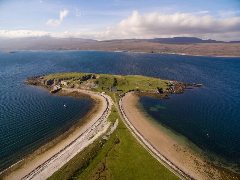 3 min by roadThings to doLoch EribollA long sea loch on Scotland's north coast, between Durness and Tongue, with the tied island of Ard Neackie and its lime kilns, ringed by wild mountains.
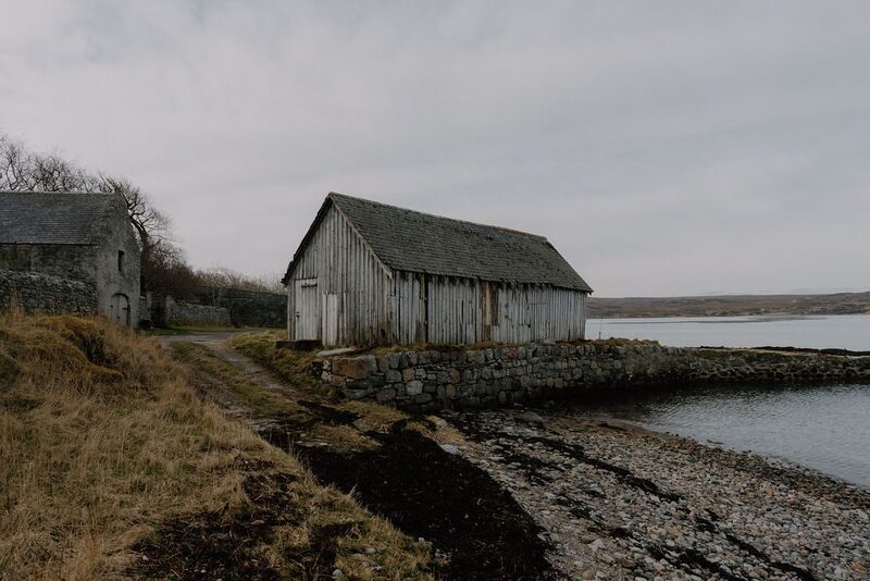 15 min by roadThings to doTongueA village above the Kyle of Tongue, with Ben Loyal to the south, the ruin of Castle Varrich on its bluff, and a causeway across the Kyle.
For dinner
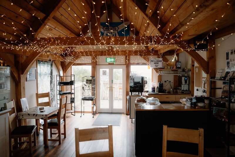
Norse Bakehouse in Rhitongue, 17 minutes by road. A family-run bakehouse and café on the A836 at Rhitongue, east of Tongue, baking focaccia and pizzas on site, with garden tables looking out over the north coast.
Places to stay near the walk
Our places to stay nearest the start, by road.
An advert · Tongue
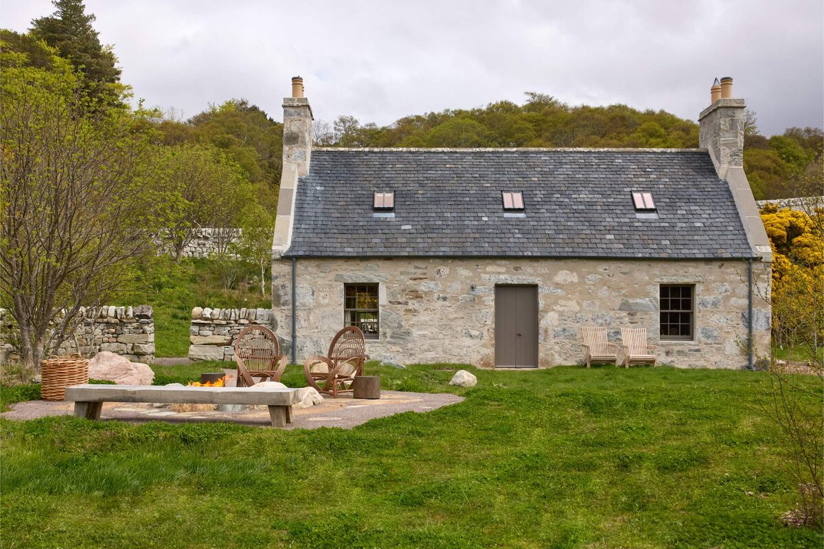
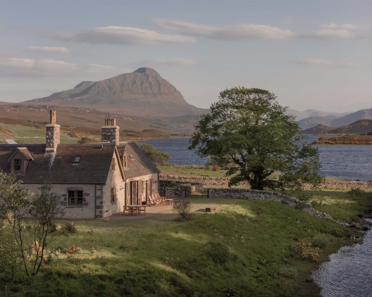
Lundies House
A 19th-century manse in Tongue, on Scotland's north coast, made into a small WildLand hotel, with dinner by candlelight and bedrooms looking over the Kyle of Tongue.
15 minutes by road
See Lundies House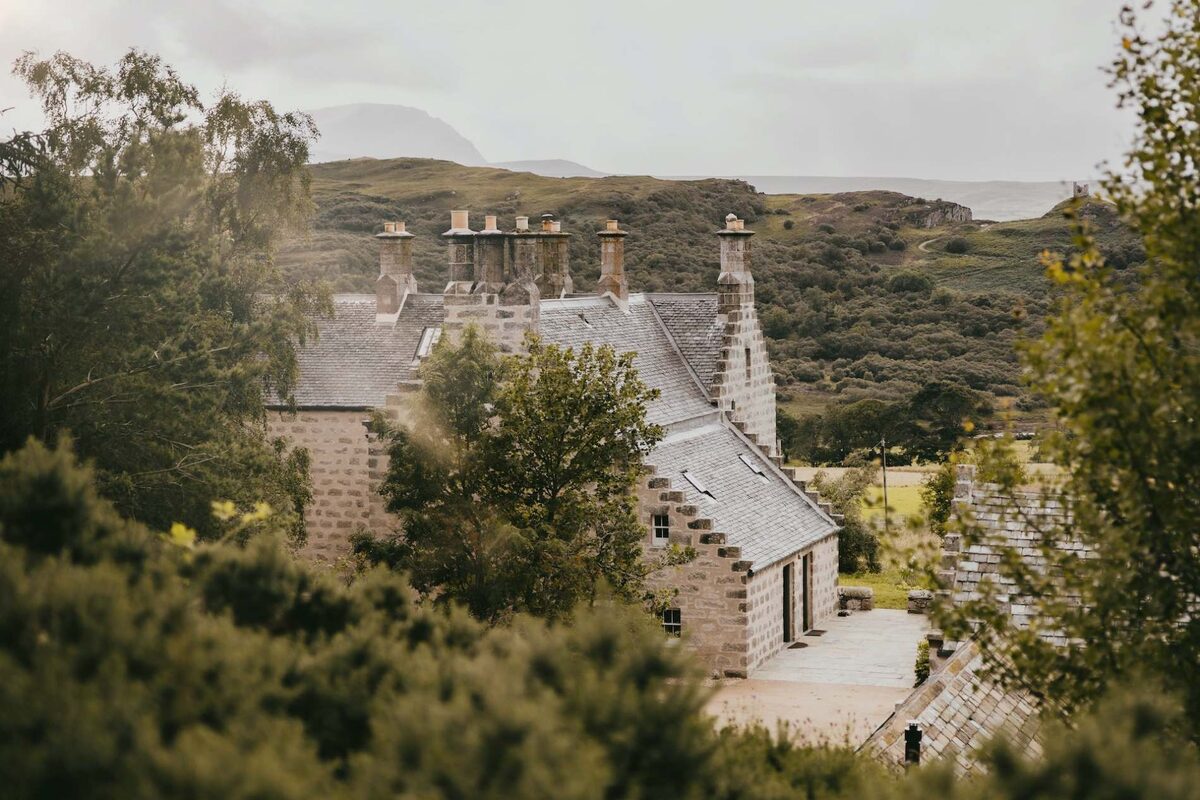
More walks near here
Within a short drive of the start.
Did this walk?
Tell the next person how it went. The best go on this page, with your name.
For further reading, before you go.
Photographs by Vicky Dunbar and Tongue Hotel via Google
Maps from OpenFreeMap © OpenMapTiles, data © OpenStreetMap contributors; heights from Mapzen's terrain tiles.