
Creag Leacach – By Meall Gorm and the South-West Top
4 miles · 3 to 4 hours · a hill · there and back
free parking · dogs welcome
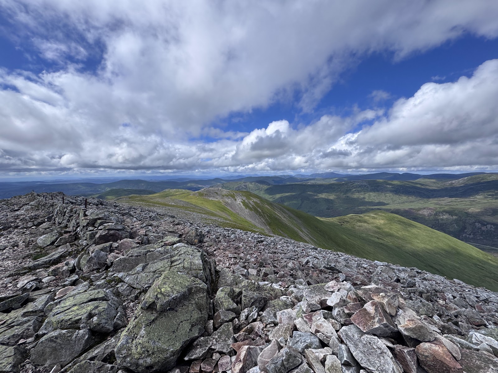
Creag Leacach, 988 metres, rises on the east side of the A93 in Glenshee and looks down over the Devil's Elbow, its crest a field of broken stone and boulders.
Climbed on its own, the usual way crosses the burns below Meall Gorm and climbs the western shoulder over the south-west top to the summit, and back the same way. By our map it is about 6 km there and back with about 610 metres of climb, and it takes about 3 to 4 hours. It is a mountain where mist and winter come in fast: for hillwalkers who can find their way with a map and compass.
Where it starts
Start at the car park south of the Devil's Elbow, on the east side of the A93 about a mile south of the Glenshee ski centre.
Is it for me?
Tap who is coming, or the day you have, for the answer on this walk.
Before you go
Getting there
The park authority names this as the car park walkers use for Glas Maol and Creag Leacach, and the ski centre lists it as free parking. By our map it has room for about 30 cars, with a second car park about 100 metres away. The start is reached by the A93 between the Spittal of Glenshee and Braemar, a road with snow gates at both.
On the path
About 3 to 4 hours there and back: about 6 km (4 miles) and 610 metres of climb by our map. From the car park south of the Devil's Elbow across the burns below Meall Gorm, up the western shoulder over the south-west top and along the crest to the summit, 988 metres, and back the same way. Grassy paths, eroded by the burn in places, with four burns to ford and no bridge; then a steep, rocky path up the western shoulder and a crest of broken, slabby stone and boulders to the summit. About 6 km of rough walking, with four burns to ford, a steep shoulder and a crest of broken stone that can trap an ankle: for children used to hill days, with an adult who can navigate. The map to carry is OS Explorer OL52, Glen Shee & Braemar (1:25,000); OS Landranger 43, Braemar & Blair Atholl (1:50,000) shows the country round it.
Good to know
Summer and early autumn in daylight, on a clear day with a good forecast, when the burns are low. Keep dogs under close control on the hill, where the burns have no bridge. The ski centre allows no dogs on its runs and tows, about 2 km to the north. The park authority and the ski centre publish no toilets at the car park; the nearest are at the Glenshee ski centre, about a mile north on the A93. Deer stalking can take place all year, most of all in October and in January and early February: find out before you go. Under snow it is a winter mountain, and the Glas Maol range is in the Southern Cairngorms avalanche forecast's area: read it before you go.
The walk
The usual way up Creag Leacach on its own starts at the car park south of the Devil's Elbow on the A93. It drops into a gully, crosses the burns below Meall Gorm and climbs the hill's western shoulder over its south-west top to the summit. By our map it is about 6 km (4 miles) there and back, with about 610 metres of climb. Allow about 3 to 4 hours, more with stops, in poor weather or under snow. The summit is 988 metres up, and the walk starts about 490 metres up. The way is on grassy paths, then a rocky path and a crest of broken stone and boulders beside an old drystone wall. No public body publishes this way up, a distance or a time for it. Glas Maol, a Munro about 2.5 km to the north-east, stands at the far end of the ridge. Many walkers go on to it, and some climb Creag Leacach from the Glenshee ski centre over Glas Maol: this walk keeps to Creag Leacach.
The car park is on the east side of the A93, about a mile south of the Glenshee ski centre, between the Spittal of Glenshee and Braemar. The Cairngorms National Park Authority names it as the car park walkers use for Glas Maol and Creag Leacach, and the ski centre lists it as free parking. By our map it has room for about 30 cars, beside the Devil's Elbow viewpoint with its benches and information board. A second car park is about 100 metres away. No toilets are published here: the nearest are at the ski centre. The councils work snow gates on the A93 at the Spittal of Glenshee and at Braemar.
Before you set off, check the mountain forecast, and under snow the avalanche forecast too, as Mountaineering Scotland advises. Read the Mountain Weather Information Service's Southeastern Highlands forecast with its Cairngorms one. Carry a map and compass and know how to use them: Tayside Mountain Rescue Team warns never to rely on a phone or GPS alone. The ski centre asks walkers to have a backup means of navigation with them at all times. Walking can be dangerous, it says, and all walkers must take responsibility for their own safety. Deer stalking can take place all year, the park authority says, most of all in October for stags and in January and early February for hinds. Find out before you go.
From the car park the path heads east and drops into a small gully, about 25 metres below the car park by our map. About 220 metres out it crosses the gully's burn, with no bridge. Then it runs east above the Allt Coire a' Bhathaich. One guide warns that this path is badly eroded in places: take care not to lose your footing and slip down the bank into the burn. About 480 metres out the path forks. Keep right, south-east, above the burn: the left way climbs north-east towards Meall Odhar and the ski area. A second path runs close by on the right and meets this one again at the burn.
About 880 metres out, about 530 metres up by our map, the path fords the Allt Coire a' Bhathaich, with no bridge. A few metres on it fords a side stream. One guide calls the crossings straightforward, but stream levels can rise markedly in one day, Munro Magic warns. After heavy rain, if a crossing looks unsafe, turn back.
Over the burns the path turns south and climbs the slope east of Meall Gorm, a grassy hill of 759 metres. It fords one more small stream, about 1.4 km out. About 1.5 km out, about 700 metres up by our map, it reaches the broad col between Meall Gorm and Creag Leacach's south-west top. Some walkers go over the top of Meall Gorm to the same col. From the col the path turns east up the western shoulder. This is the steepest of the climb, and by our map the path turns rocky about 2 km out, about 860 metres up.
The path crosses the south-west top, about 2.3 km out and about 943 metres up, as the guides give it. A second rocky path skirts the top to the north: this walk keeps to the main path over it. From the top the crest runs north-east to the summit, a field of broken stone and boulders. The British Geological Survey names a massive quartzite after the hill, the Creag Leacach Quartzite. Underfoot the stones are slabby and broken, and one guide warns that they can easily trap an ankle. There is nothing to fall off, another says, but plenty to trip over. The flanks of the ridge are steep and rocky, with drops east into Glen Brighty.
An old drystone wall, with a line of old fence posts, runs along the crest. By our map the path keeps within about 50 metres of it and meets it at the summit. The path dips about 20 metres beyond the south-west top and climbs gently to the summit cairn, 988 metres up, about 3.1 km out. The wall runs on north-east from the summit along the ridge to Glas Maol.
The crests are fairly featureless, Steven Fallon says, and in mist the wall is the guide along them. The Grampian plateau is a place where you can go wrong, one warns. Following paths on open ground without a compass may get you lost in poor visibility, Munro Magic says. Coming back, follow the wall south-west, not on to the north-east towards Glas Maol. Leave it at the south-west top for the path down the western shoulder. On the way down, keep left at the fork above the Allt Coire a' Bhathaich for the car park. If the cloud comes down, the wind rises or anyone is tiring, turn back by the way you came.
The Glenshee ski area, with its tows and snow fences, lies about 2 km to the north on Meall Odhar and Glas Maol, off this walk. In the ski season the centre asks walkers who go that way to keep outside its snow fences and managed areas. It asks them never to walk up a tow line, running or not, and to watch for steel winching cables and vehicles on the slopes. No dogs but search and rescue dogs are allowed on its runs and tows.
Under snow Creag Leacach is a winter mountain. Winter routes with ice and snow can be extremely challenging and dangerous, one guide warns, and another says the crests then need careful navigation. Go then only with the gear and the skills for winter. The Scottish Avalanche Information Service names the Cairnwell and Glas Maol ranges in its Southern Cairngorms area. Read that forecast before you go.
The way down is the way you came, back along the crest by the wall to the south-west top, down the western shoulder to the col and across the burns. In an emergency call 999 or 112 and ask for Police and Mountain Rescue, Mountaineering Scotland says. Give a six-figure grid reference and a named feature if you can. To be able to text 999 where a call will not connect, register first by texting the word register to 999.
If it rains
None on this walk: in rain, low cloud or a high wind, leave the summit for another day. After heavy rain the four burns on the way, none of them bridged, can rise fast. In mist the wall is the guide along the crest: follow it south-west from the summit and leave it at the south-west top. If the cloud comes down, turn back by the way you came.
After the walk
Something to do with the rest of the day, nearest the end of the walk first.
With the rest of the day
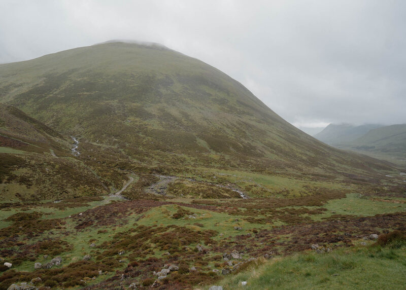 0 min by roadThings to doDevil’s Elbow ViewpointA viewpoint on the Cairnwell road between Glenshee and Braemar above the Devil's Elbow, the old double hairpin that drivers once dreaded, now left to walkers.
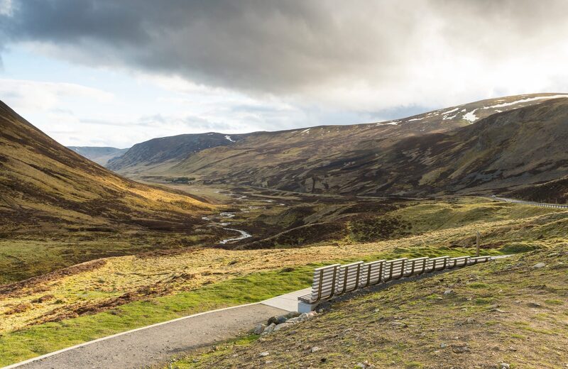 6 min by roadThings to doGlensheeThe A93 climbing to the Cairnwell Pass and Scotland's largest ski area, with a summer chairlift, a café and Munros from the car park.
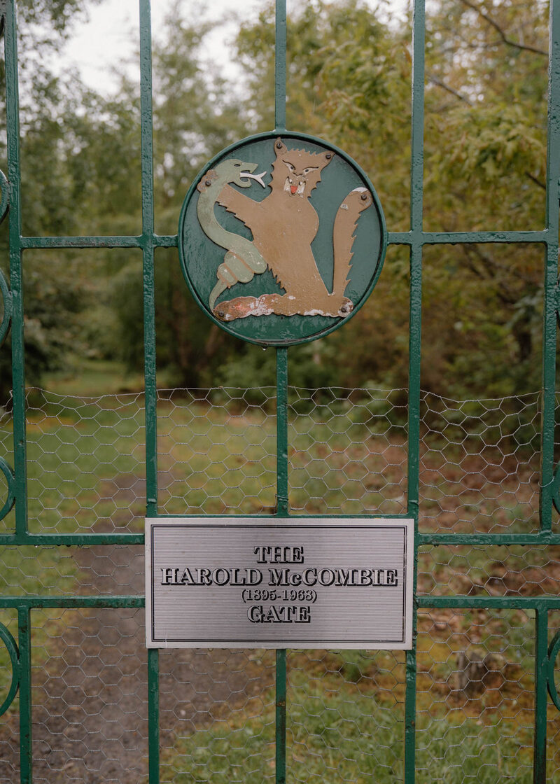 11 min by roadThings to doThe Cockstane: Clan MacThomas' Ancient Gathering StoneClach na Coileach, the Cockstane, a great glacial boulder in Glenshee that has been the gathering place of Clan MacThomas since the 1400s.
Places to stay near the walk
Our places to stay nearest the start, by road.
An advert · Crathie
Faunoran House
A granite house for ten among silver birches in Crathie, a short walk from the gates of Balmoral.
Sleeps 10 · 27 minutes by road
See Faunoran House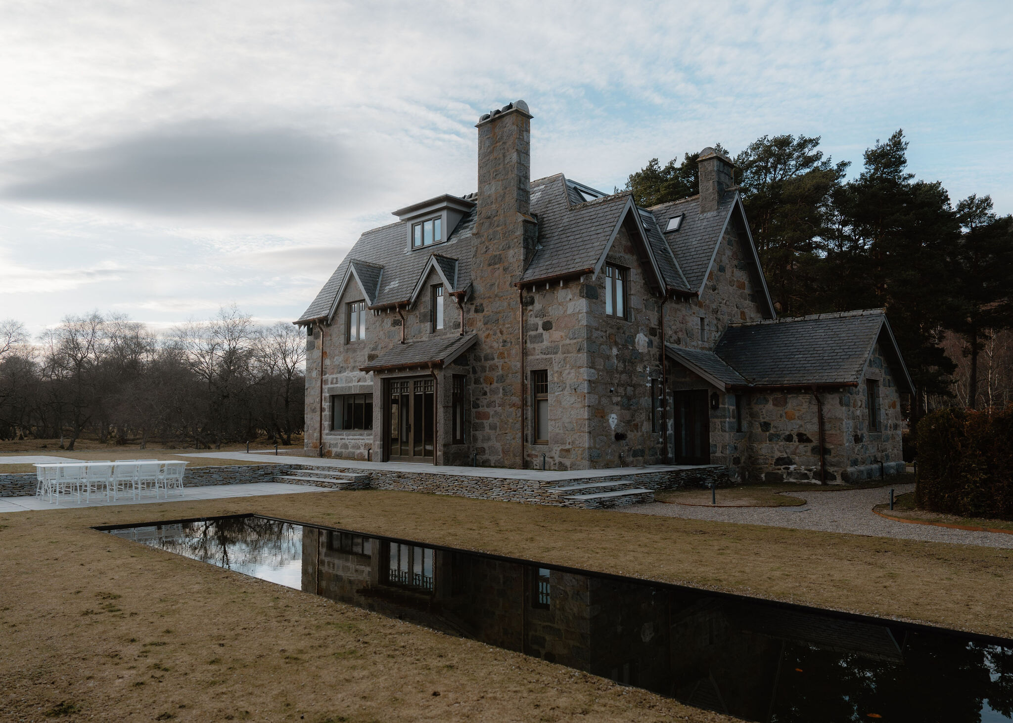
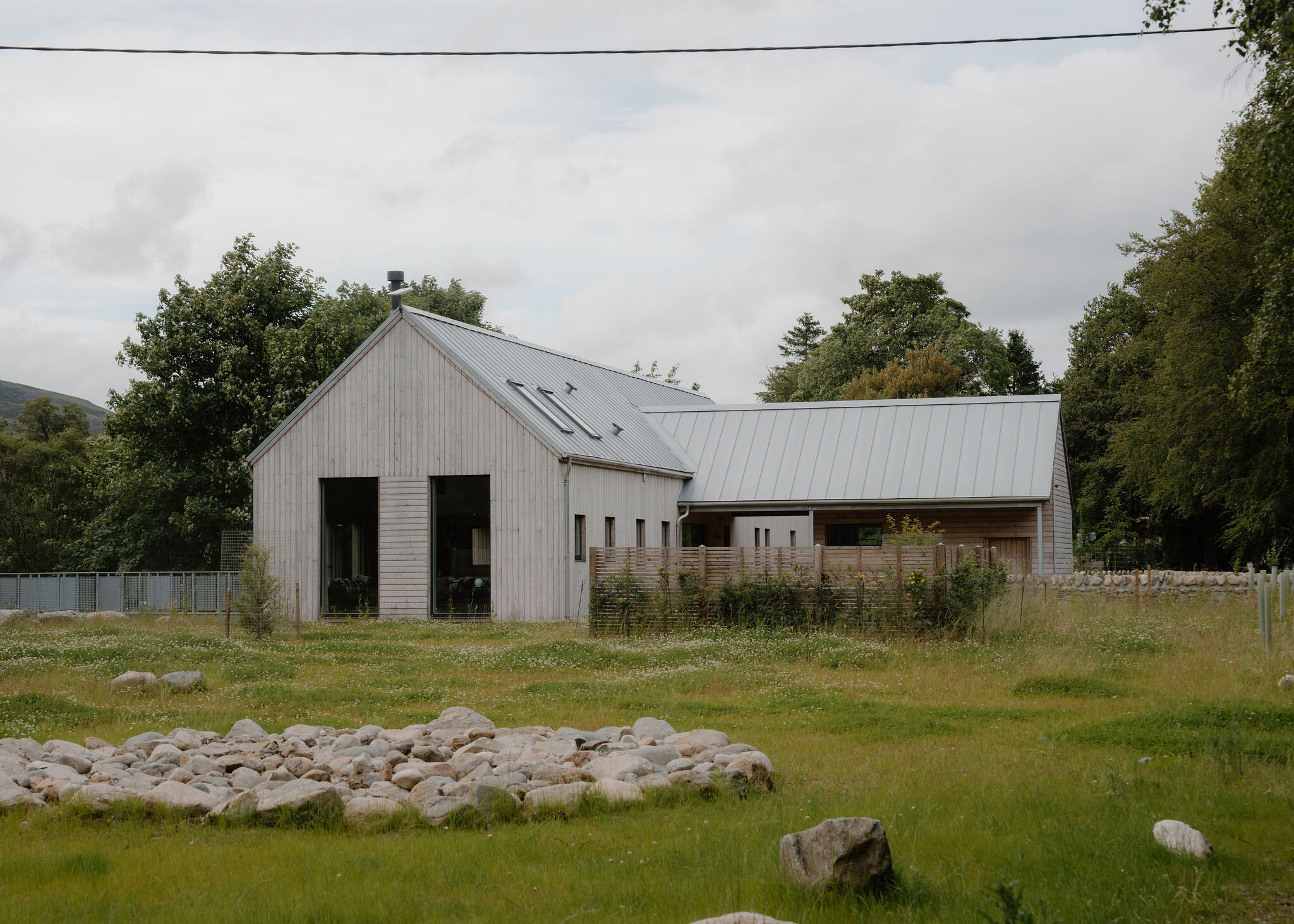
More places to stay near the walk
More walks near here
Within a short drive of the start.
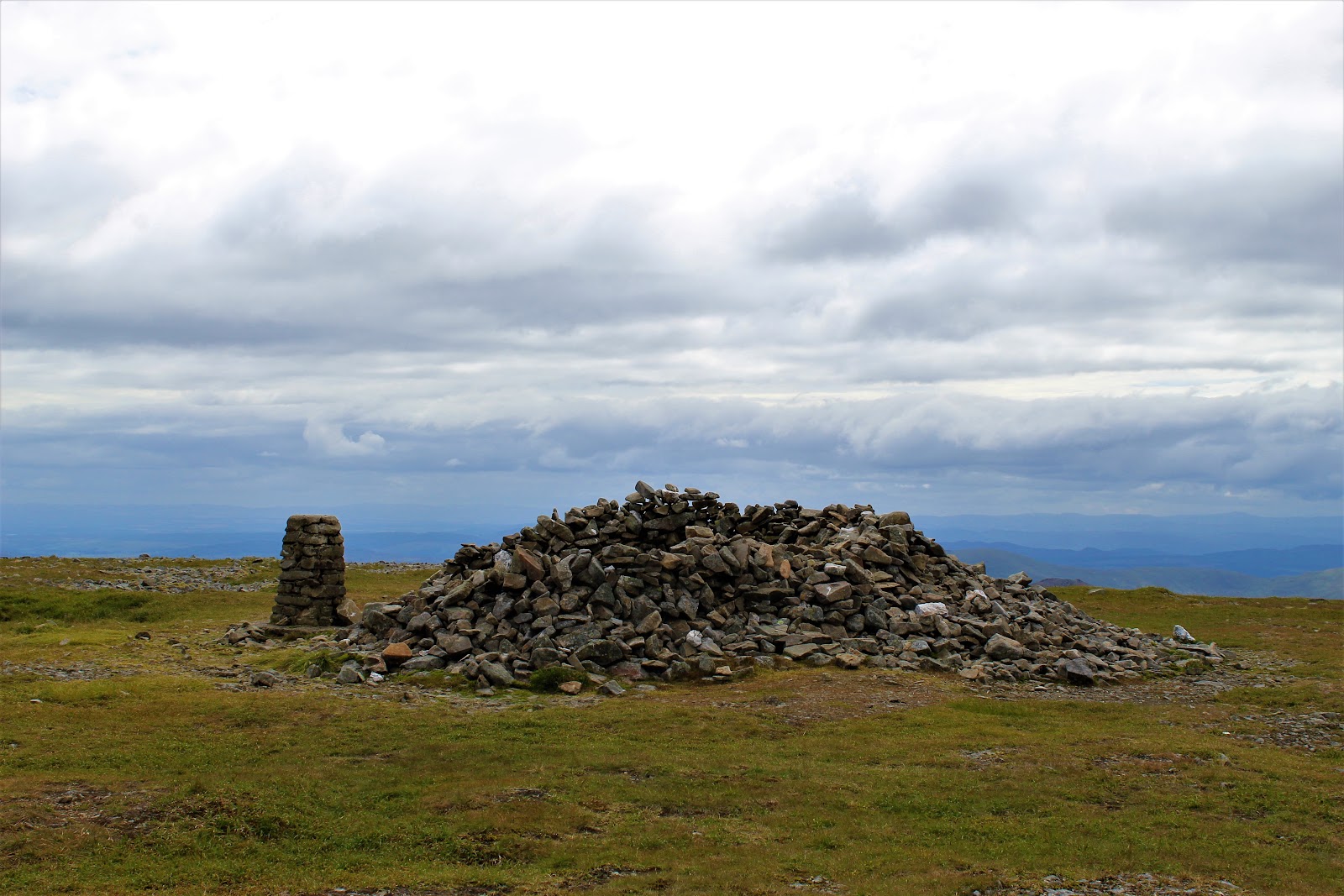 2 min by roadA hillGlas Maol4 miles, about 2½ to 3½ hours
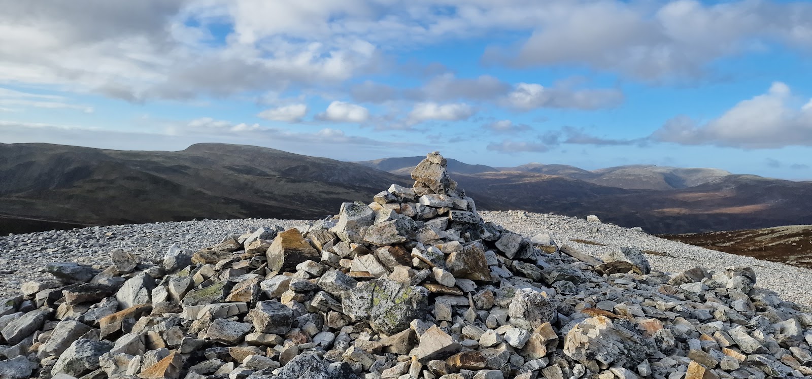 2 min by roadA hillCarn Aosda3 miles, about 2 to 3 hours
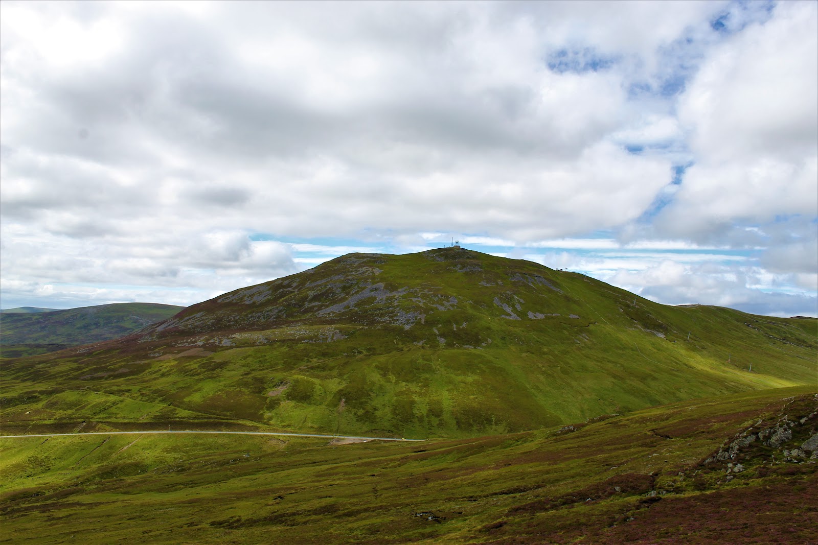 2 min by roadA hillThe Cairnwell4 miles, about 2 to 3 hours
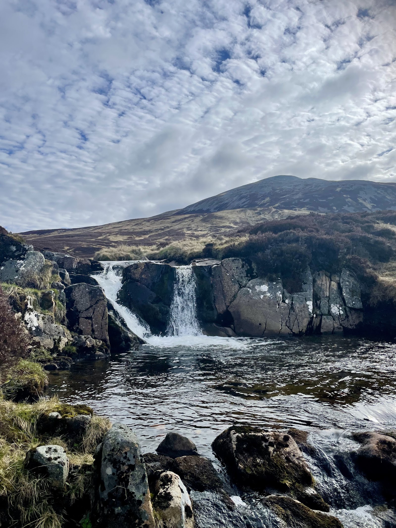 4 min by roadA hillCarn an Tuirc4 miles, about 3 to 4 hours
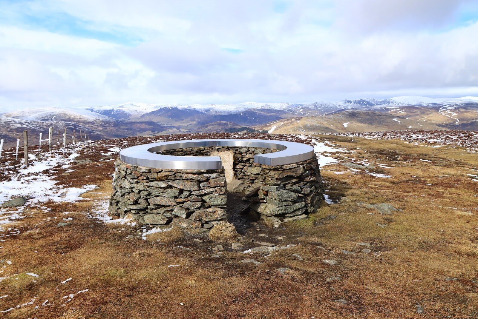 14 min by roadA hillMount Blair3 miles, about 1½ hours
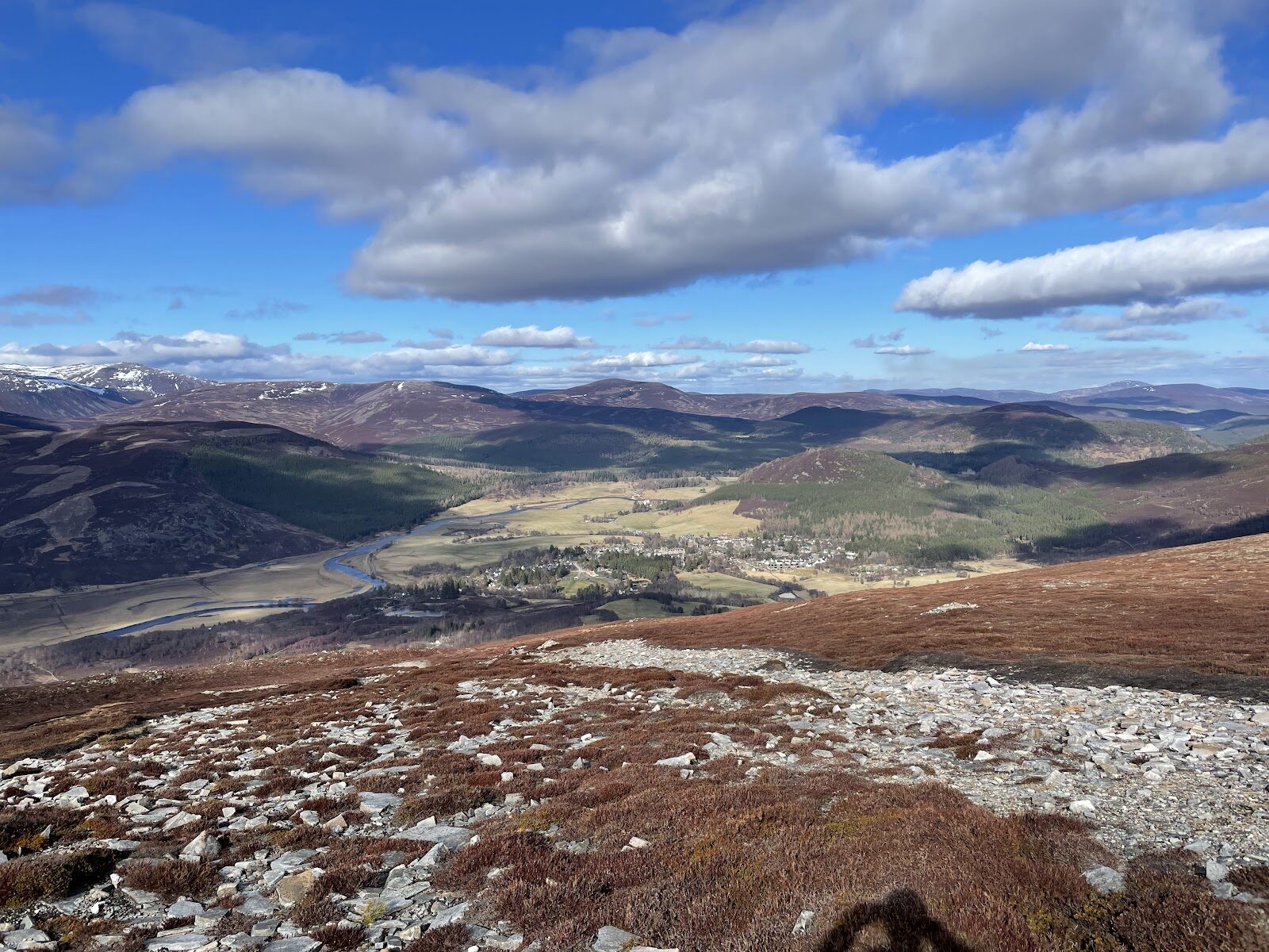 14 min by roadA hillMorrone7½ miles, about six hours
Did this walk?
Tell the next person how it went. The best go on this page, with your name.
Find out more
For further reading, before you go.
- Creag Leacach, the Munro page, Hidden Scotland↗
- Munros and hill walking, Glenshee Snowsports Centreski-glenshee.co.uk↗
- Ski touring and walkers in the ski season, Glenshee Snowsports Centreski-glenshee.co.uk↗
- Deer stalking, Cairngorms National Park Authoritycairngorms.co.uk↗
- Southeastern Highlands forecast, Mountain Weather Information Servicemwis.org.uk↗
- Cairngorms National Park and Monadhliath forecast, Mountain Weather Information Servicemwis.org.uk↗
- Southern Cairngorms avalanche forecast, Scottish Avalanche Information Servicesais.gov.uk↗
- Navigation and weather tips, Tayside Mountain Rescue Teamtaysidemrt.org↗
- Calling for help, Mountaineering Scotlandmountaineering.scot↗
Photograph by David Andrews via Google
Maps from OpenFreeMap © OpenMapTiles, data © OpenStreetMap contributors; heights from Mapzen's terrain tiles.