
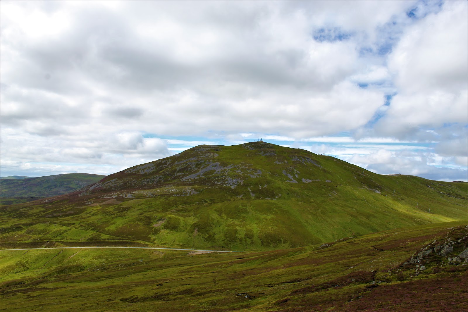
The Cairnwell – By the Col above Loch Vrotachan
4 miles · 2 to 3 hours · a hill · there and back
£4 parking · toilets
The Cairnwell, 933 metres, stands over the A93 at the Glenshee ski centre in the Cairngorms National Park, with masts on its top and a ski area on its slopes.
Climbed on its own, the usual way goes up the ski area's tracks to the col above Loch Vrotachan and along the north-west ridge to the summit, and back the same way. By our map it is about 6.5 km there and back with about 330 metres of climb, and it takes about 2 to 3 hours. It is a short Munro, but still a mountain, where mist and winter come in fast: for hillwalkers who can find their way with a map and compass.
Where it starts
Glenshee Snowsports Centre's car park on the A93 at the Cairnwell Pass, sat nav AB35 5XU.
Is it for me?
Tap who is coming, or the day you have, for the answer on this walk.
Before you go
Getting there
Parking is free for the first 50 minutes or with a chairlift ticket, then £4 for the day, the centre's page says, paid by the QR code on its parking notices or at its café, Tea@TheShee. The start is reached by the A93 between the Spittal of Glenshee and Braemar, a road with snow gates at both. By our map Ember's E11 bus between Dundee and Aberdeen, by Braemar, stops at the ski centre: check Ember's timetable.
On the path
About 2 to 3 hours there and back: about 6.5 km (4 miles) and 330 metres of climb by our map. From the Glenshee ski centre up the ski area's tracks to the col above Loch Vrotachan, then along the north-west ridge to the summit, 933 metres, and back the same way. Rough gravel tracks through a ski area the whole way to the top of the chairlift, past tows and snow fences and across the A93, then a steep, rocky path to the summit. A short Munro of about 6.5 km on tracks, but still a mountain, with a steep, rocky path at the top and weather that can close in fast: for children used to hill days, with an adult who can navigate. The map to carry is OS Explorer OL52, Glen Shee & Braemar (1:25,000); OS Landranger 43, Braemar & Blair Atholl (1:50,000) shows the country round it.
Good to know
Summer and early autumn in daylight, on a clear day with a good forecast. Keep dogs on a lead through the ski centre, the centre asks. In the ski season no dogs but search and rescue dogs on its managed areas. One guide asks for care with grouse nesting in the heather in spring and early summer. The ski centre has toilets and washrooms by its buildings, across the A93 from the car park; none on the hill. In the ski season the hill is a working ski area: keep outside the snow fences and managed areas and off every tow line, as the centre asks. Under snow it is a winter mountain in the Southern Cairngorms avalanche forecast's area: read it before you go.
The walk
The usual way up The Cairnwell on its own starts at the Glenshee ski centre on the A93. It climbs the ski area's tracks to the col above Loch Vrotachan, then the hill's north-west ridge to the masts on the summit. By our map it is about 6.5 km (4 miles) there and back, with about 330 metres of climb. Allow about 2 to 3 hours, more with stops, in poor weather or under snow. The summit is 933 metres up, and the walk starts about 650 metres up. The whole way is on tracks and paths through a ski area, among lift pylons, tows and snow fences, with masts and buildings on the top. The ski centre publishes a walk down from the top of its chairlift, but no public body publishes this way up, a distance or a time for it. Carn Aosda, about 2 km to the north, and Carn a' Gheoidh, about 3 km to the west, are Munros too. Many walkers climb all three in one round from the same car park: this walk keeps to The Cairnwell.
Glenshee Snowsports Centre's car park is on the A93 at the Cairnwell Pass, between the Spittal of Glenshee and Braemar. Its sat nav postcode is AB35 5XU. The centre's page says parking is free for the first 50 minutes or with a chairlift ticket, then £4 for the day. Pay by the QR code on its parking notices, or at its café, Tea@TheShee. The centre has toilets and washrooms by its buildings. By our map Ember's E11 bus between Dundee and Aberdeen, by Braemar, stops at the ski centre: check Ember's timetable before you rely on it. The councils work snow gates on the A93 at the Spittal of Glenshee and at Braemar.
Before you set off, check the mountain forecast, and under snow the avalanche forecast too, as Mountaineering Scotland advises. The Mountain Weather Information Service's Southeastern Highlands and Cairngorms forecasts both cover the hill. Wear sturdy footwear and carry waterproof and warm layers, water and food, as the ski centre's leaflet advises. Carry a map and compass and know how to use them: the centre asks walkers to have a backup means of navigation with them at all times. Walking can be dangerous, the centre says, and all walkers must take responsibility for their own safety.
From the car park, cross the A93 with care to the back of the ski centre's buildings, by the café and the ticket office. Take the bulldozed track that climbs west behind them. It crosses a burn on a small bridge and climbs past the tows and the hexagonal Cairnwell Café, open only in the ski season, the centre's leaflet says. By our map the track crosses the lines of two ski tows, with snow fences close beside it. About 900 metres out, about 745 metres up by our map, the track forks. Keep left, along the side of the hill, for the col between Carn Aosda and The Cairnwell. The right fork climbs steeply towards Carn Aosda.
The track climbs on to the col above Loch Vrotachan, about 1.7 km out and about 795 metres up by our map. The loch lies just below, and a moorland information sign stands by the track. Here turn left, south-east, onto the track up The Cairnwell's north-west ridge. In mist, this is the junction to find again on the way down.
The track climbs the broad ridge beside lines of snow fencing. The steep slopes of Coire Dirich fall away on the right, below the edge of the ridge. By our map the track rises over a shoulder about 2.5 km out, dips about 15 metres and climbs on past stone walls. It reaches the top of the Cairnwell chairlift about 3.1 km out, about 895 metres up.
From the top of the chairlift, the centre's leaflet calls the last of the way a steep and rocky hill path. By our map it runs for about 190 metres to the summit, 933 metres up. The top is crowded with communication masts, huts, buildings and a weather station. The centre has asked anyone walking to the top to keep well away from the masts while work is done there, and to follow the instructions of the workers on site. Read any notice on the day. Just beyond the masts the view runs down Gleann Beag towards the Spittal of Glenshee, the leaflet says.
By our map the tracks, fences and lift lines of the ski area run every way, and in mist the ground between the tops can seem featureless. One guide was caught out by it more than once. The hill stands beside the road, but neither it nor Carn Aosda should be underestimated in bad conditions, another guide warns. Braemar Mountain Rescue Team has been called out to walkers missing on Carn Aosda, that guide says. Mist, fog and rain can sweep in quickly. If the cloud comes down, the wind rises or anyone is tiring, turn back by the way you came.
In the ski season the hill is a working ski area. The centre asks walkers and ski tourers to keep outside its snow fences and managed areas. It asks them never to walk up a ski tow line, running or not. Follow its route for walkers by Loch Vrotachan, west of the A93, and ask the hill staff or ski patrol if unsure, the centre says. No dogs but search and rescue dogs are allowed on the managed areas, and through the centre dogs must be kept close, on a lead. Avalanche and weather forecasts are posted at the ski patrol and outside the ticket office.
Under snow The Cairnwell is a winter mountain. Climb it then only with winter gear and experience: an ice axe and crampons, and the skill to use them, one guide advises. The Scottish Avalanche Information Service names the Cairnwell and Glas Maol ranges in its Southern Cairngorms area. Read that forecast before you go.
The way down is the way you came. Go back down the rocky path to the top of the chairlift and along the ridge to the col. At the information sign, turn right onto the track back east to the ski centre. Some guides go straight down the open slopes to the centre or the road: this walk keeps to the tracks. In summer the chairlift runs to its top station when the weather allows: check the centre's lift status page on the day. In an emergency call 999 or 112 and ask for Police and Mountain Rescue, Mountaineering Scotland says. Give a six-figure grid reference and a named feature if you can. To be able to text 999 where a call will not connect, register first by texting the word register to 999.
If it rains
None on this walk: in rain, low cloud or a high wind, leave the summit for another day. In mist the tracks, fences and lift lines of the ski area run every way, and the ground between the tops can seem featureless. If the cloud comes down, turn back by the way you came.
After the walk
Something to do with the rest of the day, nearest the end of the walk first.
With the rest of the day
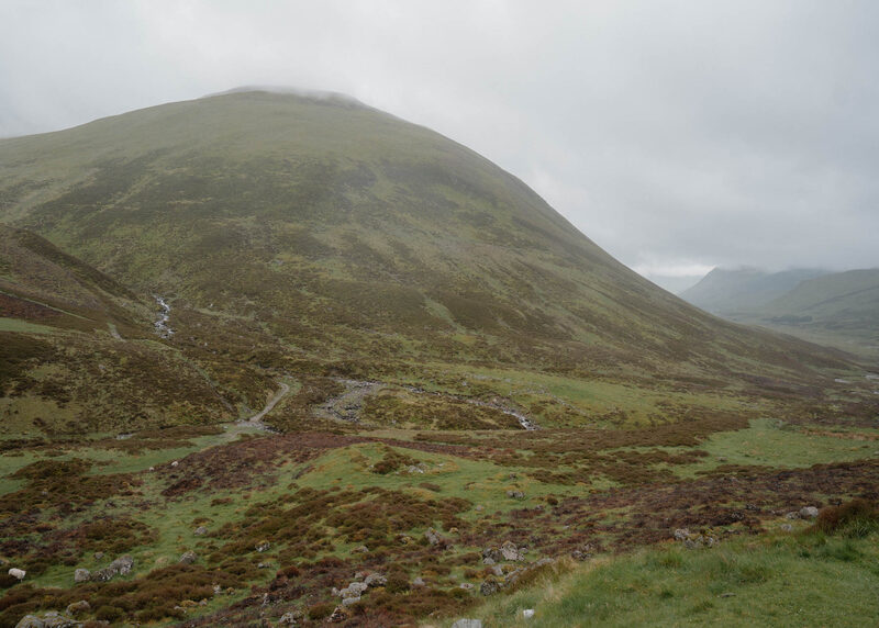 2 min by roadThings to doDevil’s Elbow ViewpointA viewpoint on the Cairnwell road between Glenshee and Braemar above the Devil's Elbow, the old double hairpin that drivers once dreaded, now left to walkers.
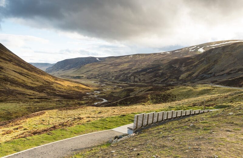 8 min by roadThings to doGlensheeThe A93 climbing to the Cairnwell Pass and Scotland's largest ski area, with a summer chairlift, a café and Munros from the car park.
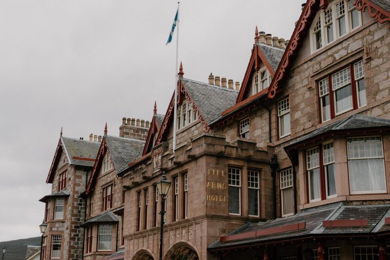 12 min by roadThings to doBraemarA Highland village of Upper Deeside where the Clunie Water meets the Dee, home of the Braemar Gathering and the place Stevenson wrote Treasure Island.
Places to stay near the walk
Our places to stay nearest the start, by road.
An advert · Crathie
Faunoran House
A granite house for ten among silver birches in Crathie, a short walk from the gates of Balmoral.
Sleeps 10 · 25 minutes by road
See Faunoran House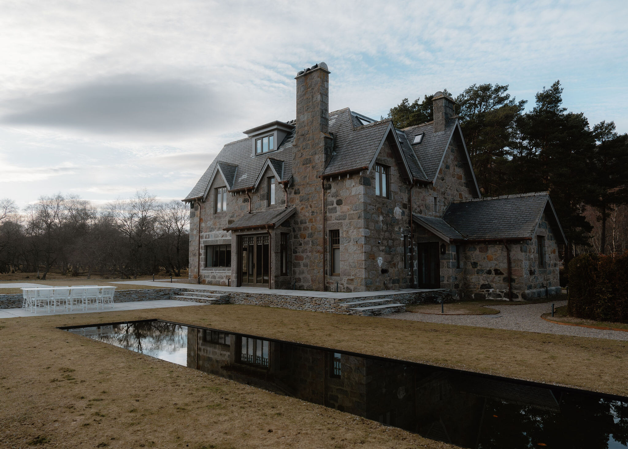
More places to stay near the walk
More walks near here
Within a short drive of the start.
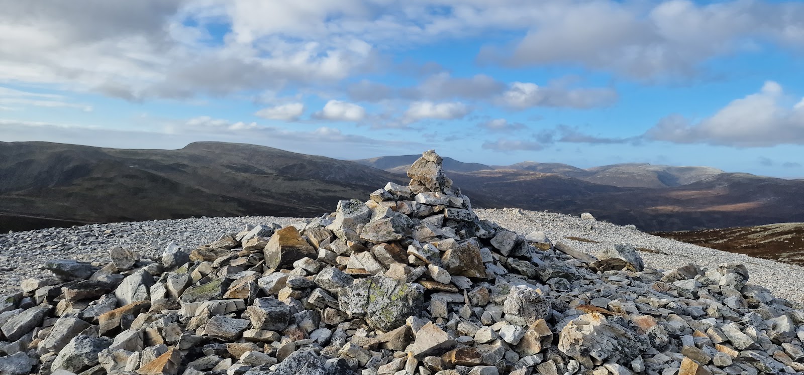 0 min by roadA hillCarn Aosda3 miles, about 2 to 3 hours
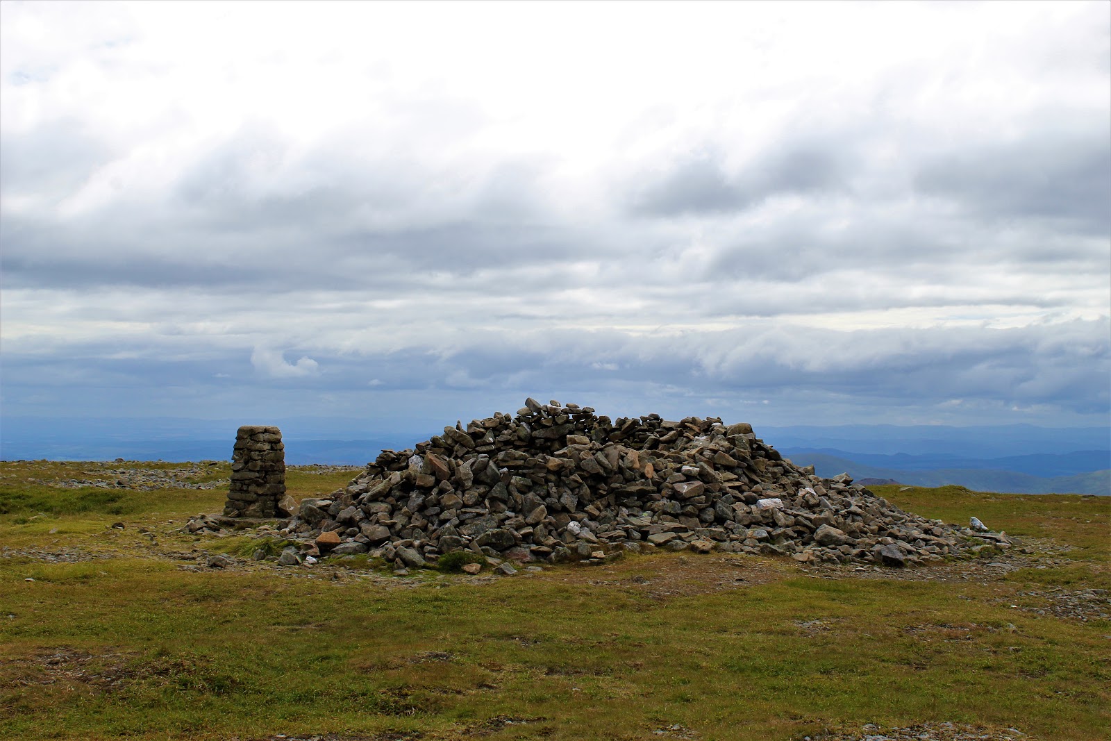 0 min by roadA hillGlas Maol4 miles, about 2½ to 3½ hours
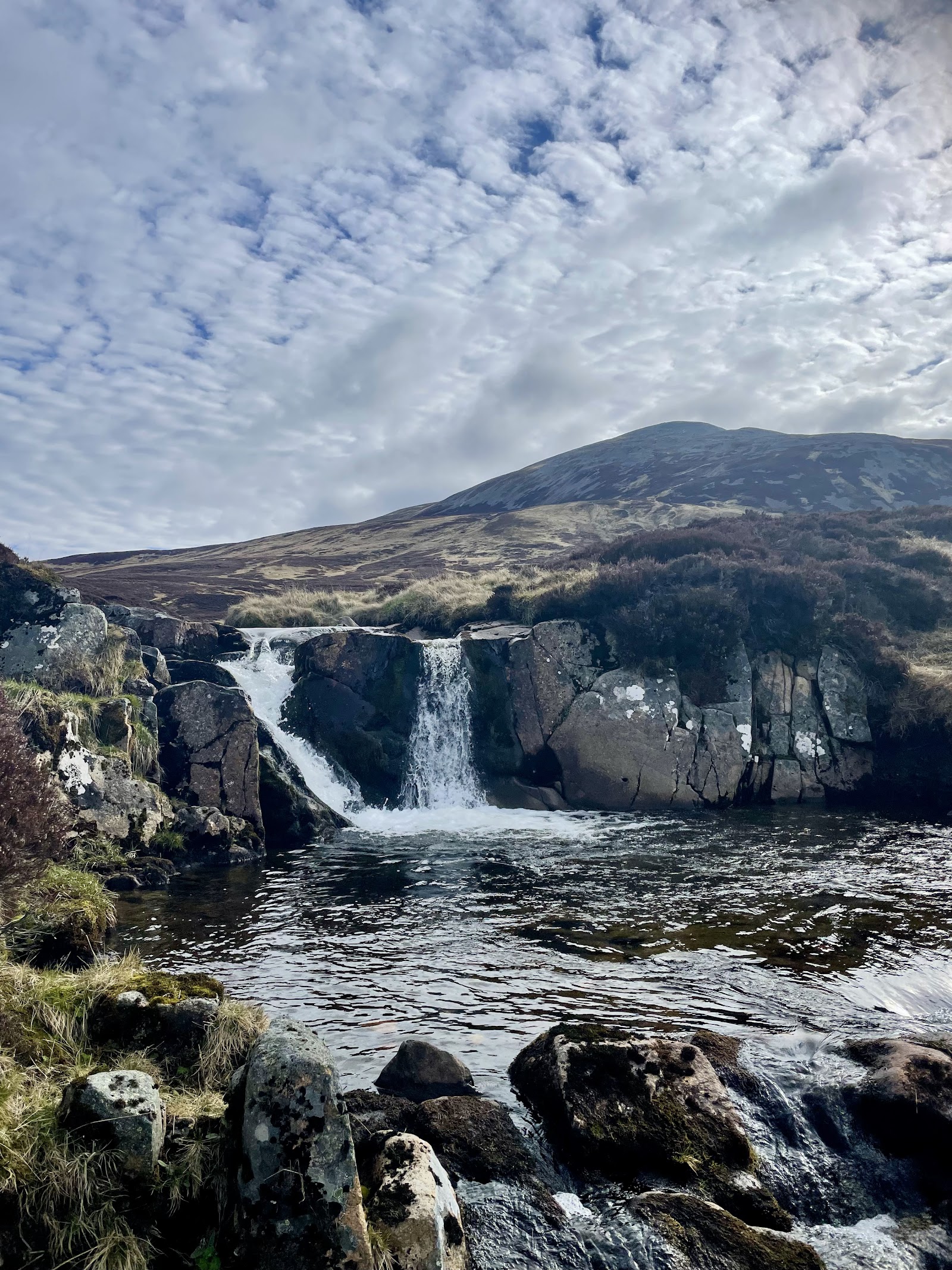 2 min by roadA hillCarn an Tuirc4 miles, about 3 to 4 hours
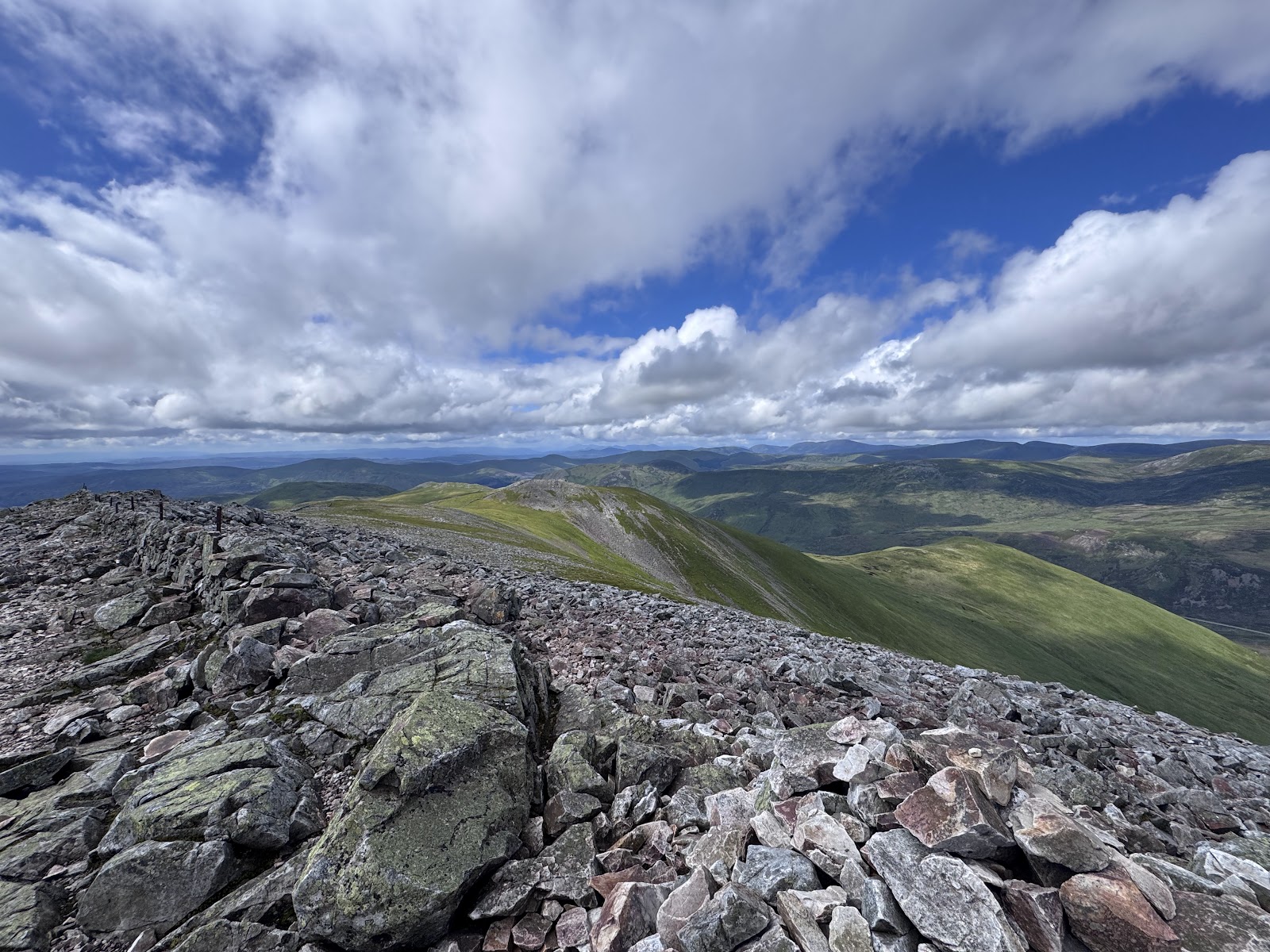 2 min by roadA hillCreag Leacach4 miles, about 3 to 4 hours
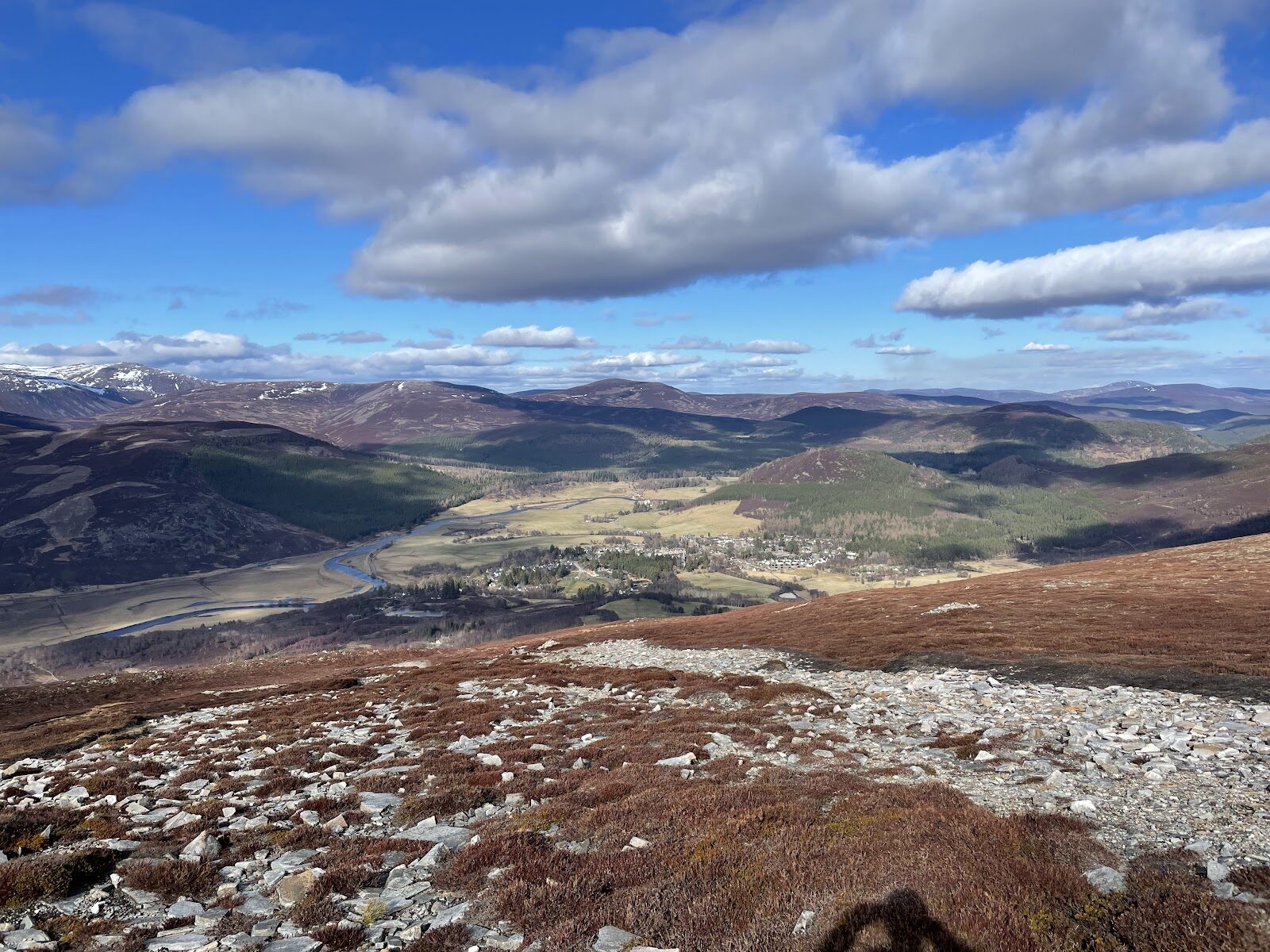 12 min by roadA hillMorrone7½ miles, about six hours
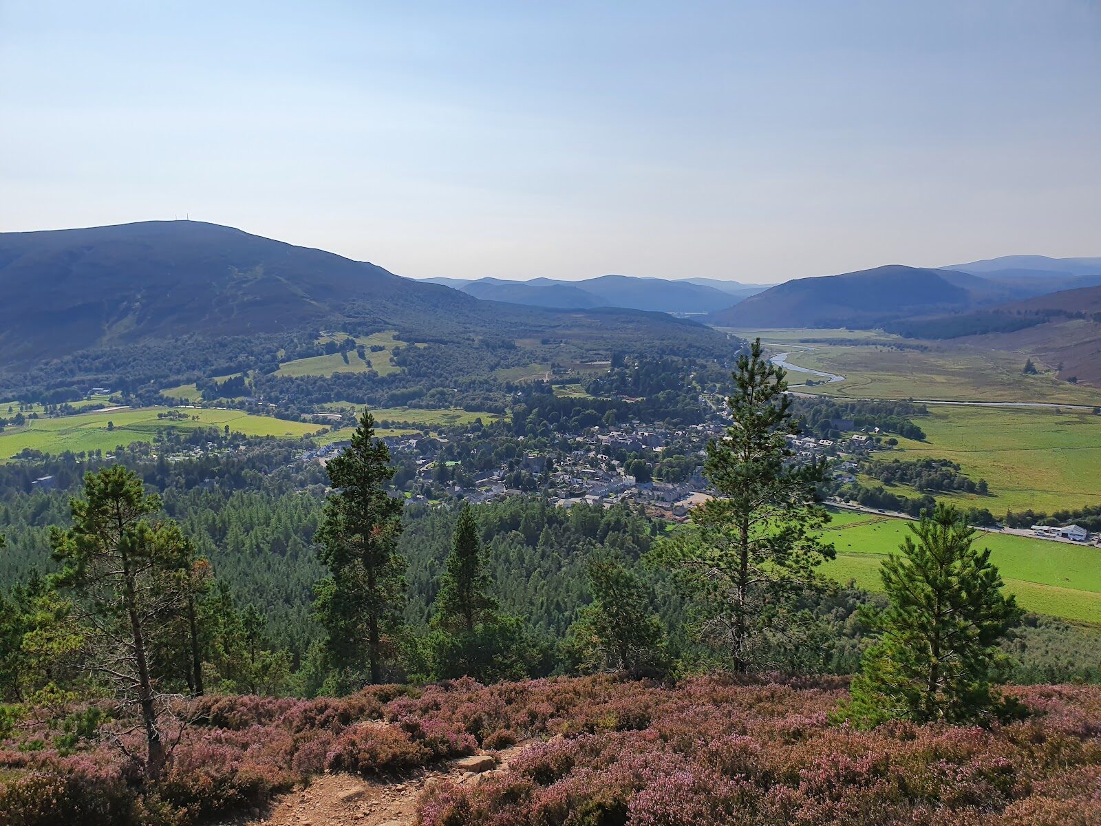 12 min by roadA hillCreag Choinnich2¼ miles, about three hours
Did this walk?
Tell the next person how it went. The best go on this page, with your name.
Find out more
For further reading, before you go.
- The Cairnwell, the Munro page, Hidden Scotland↗
- Munros and hill walking, Glenshee Snowsports Centreski-glenshee.co.uk↗
- Walking routes from the Cairnwell chairlift, Glenshee Snowsports Centreski-glenshee.co.uk↗
- Ski touring and walkers in the ski season, Glenshee Snowsports Centreski-glenshee.co.uk↗
- Lift status, Glenshee Snowsports Centreski-glenshee.co.uk↗
- Southeastern Highlands forecast, Mountain Weather Information Servicemwis.org.uk↗
- Cairngorms National Park and Monadhliath forecast, Mountain Weather Information Servicemwis.org.uk↗
- Southern Cairngorms avalanche forecast, Scottish Avalanche Information Servicesais.gov.uk↗
- Calling for help, Mountaineering Scotlandmountaineering.scot↗
Photograph by Lewis Nicoll via Google
Maps from OpenFreeMap © OpenMapTiles, data © OpenStreetMap contributors; heights from Mapzen's terrain tiles.