
Mount Blair – A Hill Between Glenshee and Glen Isla
About 3.1 miles on foot.
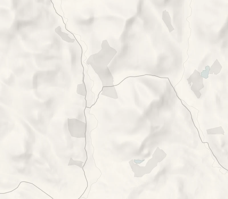
Mount Blair stands a little apart from the big hills, right on the line between Perthshire and Angus, so the view from its top runs down two glens at once.
The walk starts well up the road over to Glen Isla, so the climb is shorter than its 744 metres suggest. Afterwards, there's coffee and home baking at the Glenshee Café, a few minutes back down the road.
- Time
- About two hours: about 5 km, or 3 miles, there and back from the lay-by on the B951, with about 400 m of climb.
- The path
- A track over grazing and heather, steady and moderately steep, faint in places lower down. Boots.
- Where to start
- A small lay-by on the B951, about a mile east of the A93 junction at Lair. It fills on fine days: never block a gate or a passing place.
- Set off
- From November to February start up by noon.
- When to go
- All year in daylight, in clear weather.
- Dogs
- On a short lead or close at heel in any field with farm animals, and on the moor from April to July when birds nest on the ground (the Scottish Outdoor Access Code).
- Children
- A good hill for children used to walking, with about 400 m of climb; the top is bare and exposed.
- Toilets
- None on the hill; the nearest are at the Glenshee Café, 2 minutes' drive away.
- Before you set out
- In snow and ice the hill needs winter gear.
The walk
Mount Blair is the lone, rounded hill between Glenshee and Glen Isla, easy to pick out for miles thanks to the mast on its top. Park in the lay-by on the B951, about a mile east of the A93 at Lair. It's small and fills on fine days, so never block a gate or a passing place.
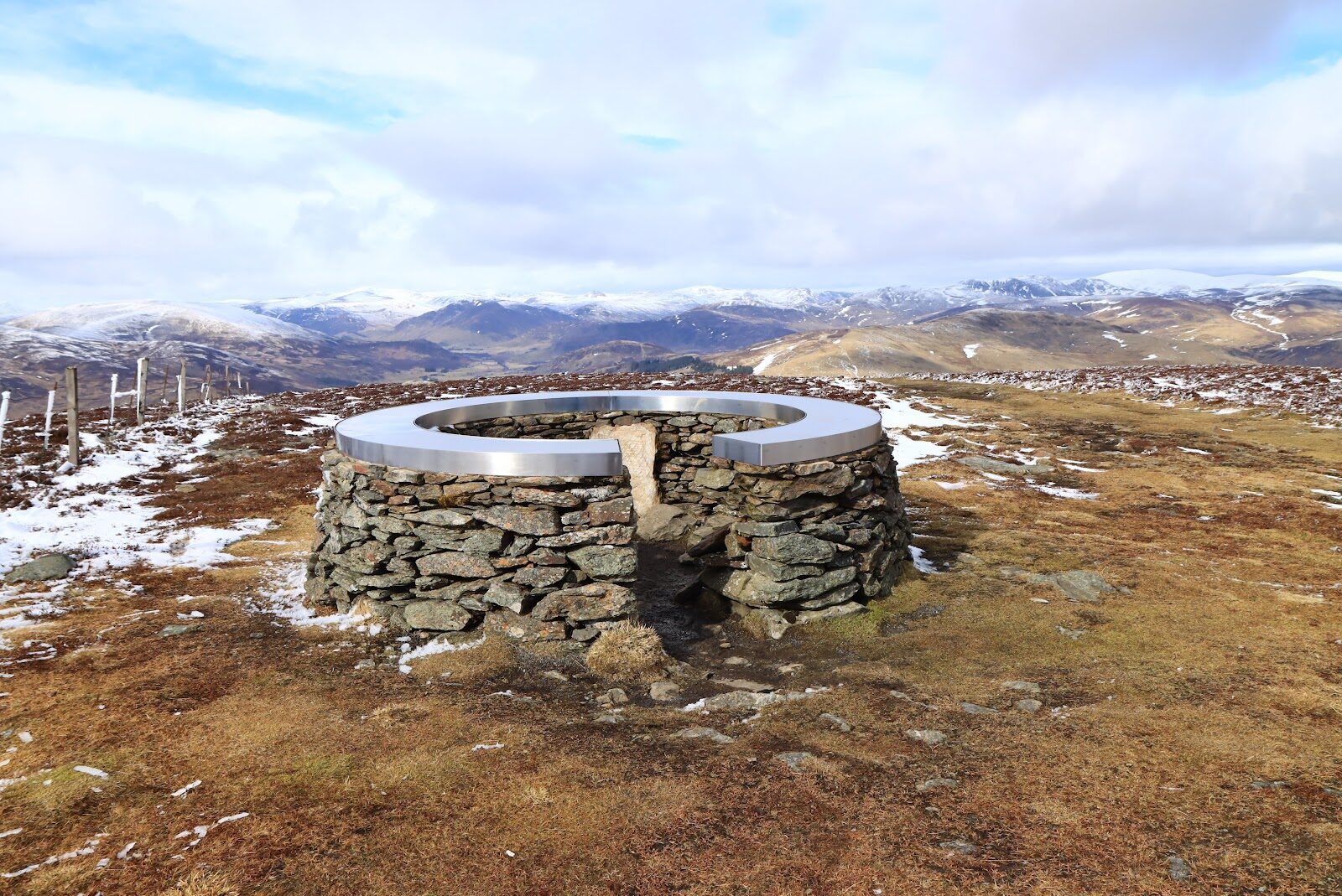
The way up leaves the road by a gate a few minutes' walk further east, and a track climbs steadily over grazing and then open heather, faint in places lower down. It's about 5 km, or 3 miles, there and back, with about 400 metres of climb: allow two hours with a rest at the top. On the summit there's a trig point, a big cairn and a round stone shelter, with a metal indicator round its rim naming what you can see.
Glen Isla lies on one side and Glenshee on the other, with the hills round the Cairnwell up the glen to the north and, on a clear day, the Lowlands as far as Fife to the south. Keep dogs on a short lead or close at heel in any field with farm animals. The top is bare and exposed, so bring a waterproof and a warm layer, and save it for a clear day.
If it rains
In rain or low cloud there's nothing to see from the top, so keep Mount Blair for a clear day. On a wet morning, go straight to the Glenshee Café for something warm and a look round its gift shop and farm shop, all under one roof.
On the way
- The Cockstane: Clan MacThomas' Ancient Gathering Stone
The Cockstane, Clach na Coileach, is a great mossy boulder in a clearing behind a green iron gate off the A93, under a mile north of the café: the gathering place of Clan MacThomas, whose lands lay in this glen. There's room to pull in by the gate, and it's free at any time. It adds about 4 minutes at the wheel there and back, and a quarter of an hour on the grassy path to the stone.
Afterwards
2 min by car
Glenshee Café & Gift Shop
Coffee and cake
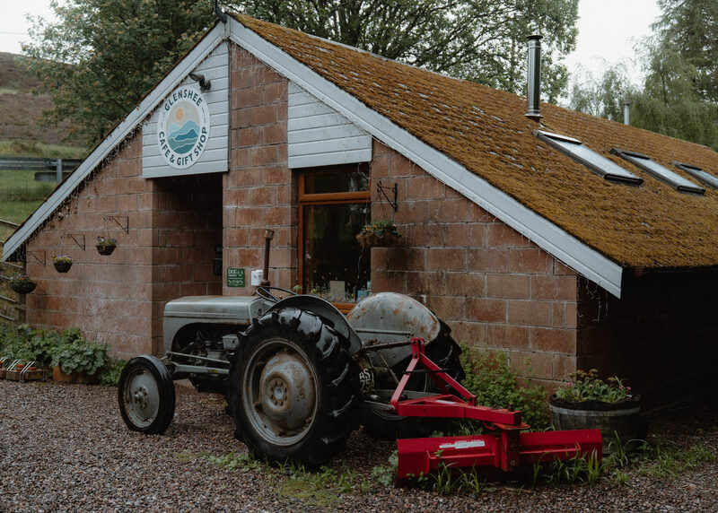
It's 2 minutes' drive back west to the A93 at Lair, where the Glenshee Café & Gift Shop stands just south of the junction, a low brick building with an old grey tractor outside and its own car park. It opens every day from 10am to 4pm, with freshly made food, home bakes and hot drinks, and dogs are welcome inside. For a sit-down lunch, Glennie's at the Glenisla Hotel, about 9 km east along the B951 in Kirkton of Glenisla, serves from noon to 4pm, Wednesday to Sunday: ring 01575 582366 first.
Before you go
Book accommodation nearby
If you are staying over: here are ours nearest where the day starts and ends.
The nearest of ours is Larch House. Sleeps 6.
Where to eat
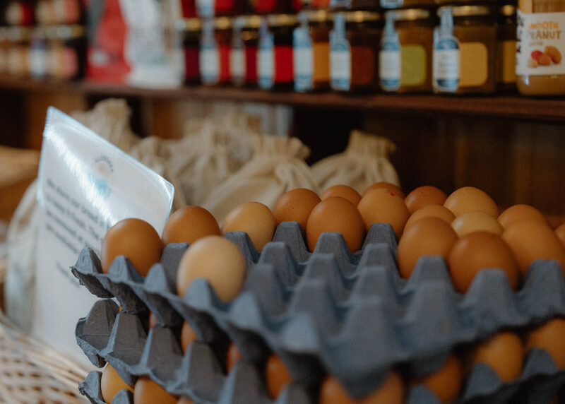
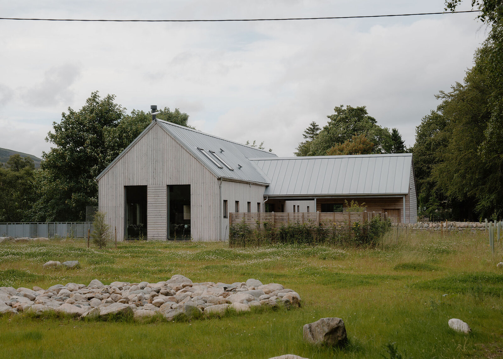
Glenshee Café & Gift Shop, a café in Blairgowrie.
For further reading, before you go.
Photograph by Sam via Google