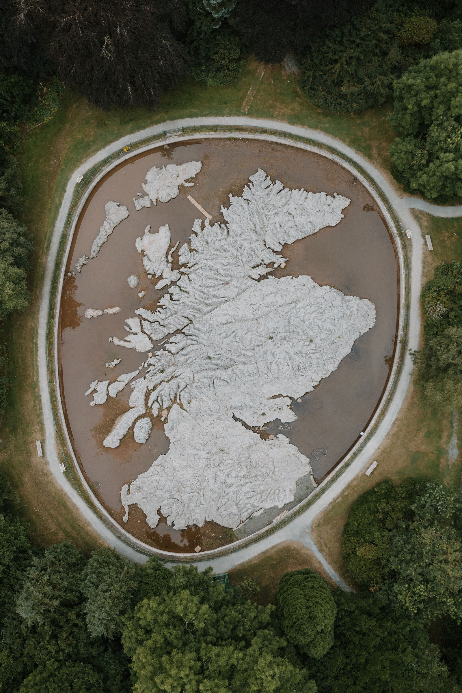
An aerial view shows a huge relief map of Scotland's coastline and islands set into a circular pool, gravel paths and trees encircling it.
Scottish Borders

Great Polish Map of Scotland

Welcome

Found within the grounds of the Barony Hotel, the Great Polish Map of Scotland is a concrete scale model of Scotland.

It was designed by a Polish war veteran who had been stationed in the Scottish Borders during the Second World War, and Historic Scotland gave it Category B listing in 2012.

Did you know

Ben Lerwill

From our guide to The Borders

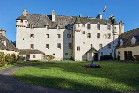
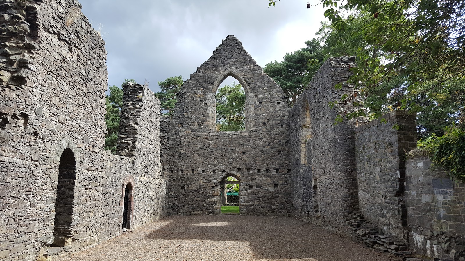
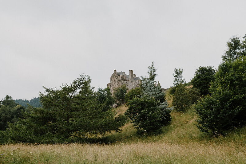
Set in the grounds of the suitably impressive Barony Castle, this remarkable relief map of Scotland was created over the course of six summers. Made of carved concrete, it measures an incredible 40 metres by 50 metres – yes, you read that right – and was the brainchild of a Polish war veteran. The castle has a long association with the Eastern European country, with Polish officers training here in the 1940s.

Read more
01 / 02
The Daily for 19 October, from Scotland with love. bare tree stumps standing in an autumn loch, forested hills reflected in the still water

The Daily

Arrives at 5am every day.

A free morning email to see what’s on this week, catch up on what’s happening in Scotland and find somewhere new to go.

Stay nearby

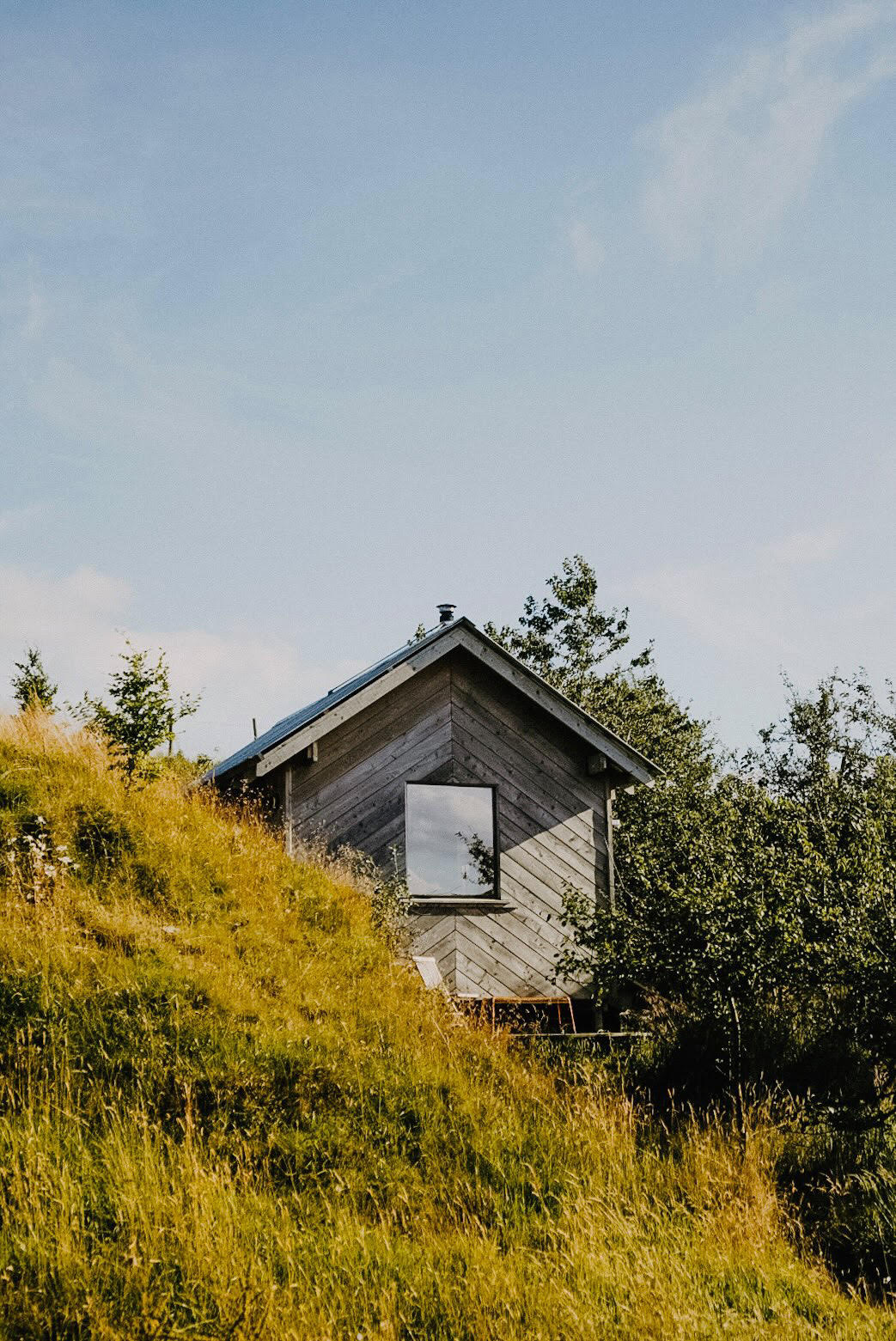
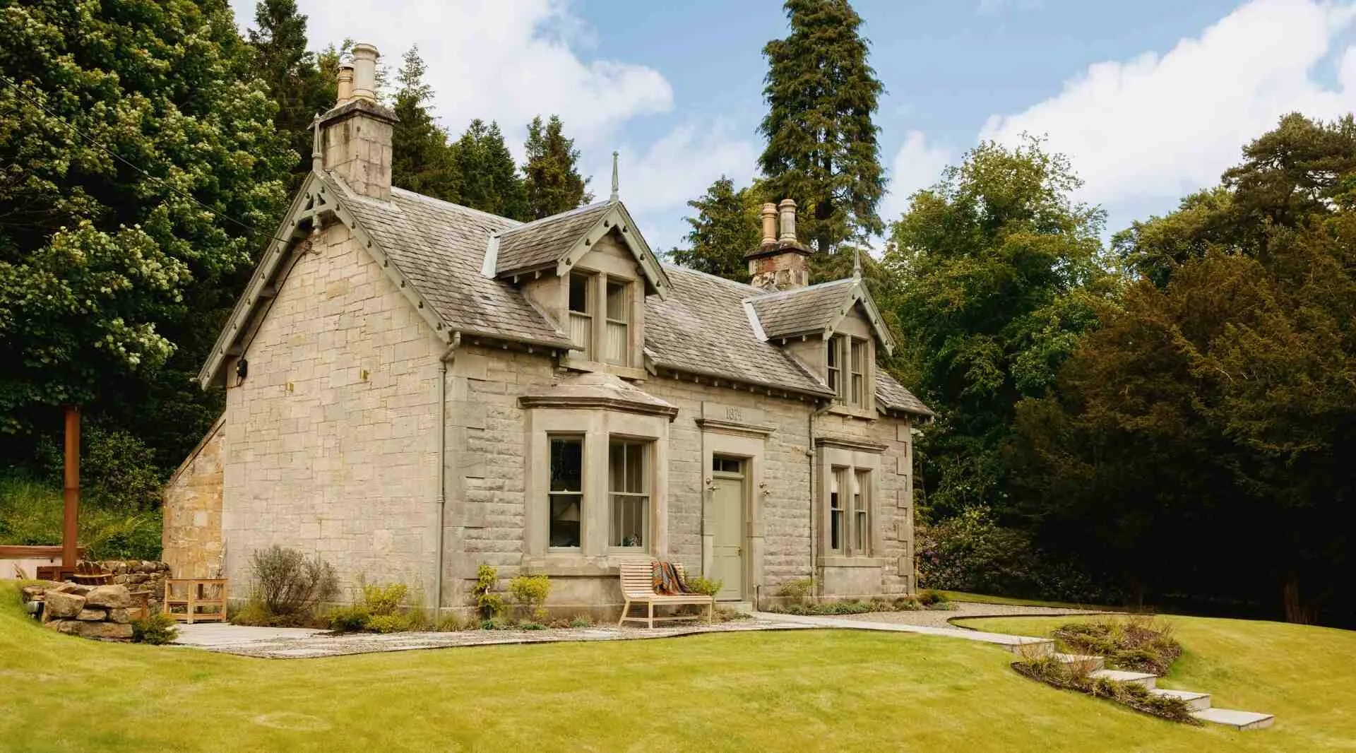
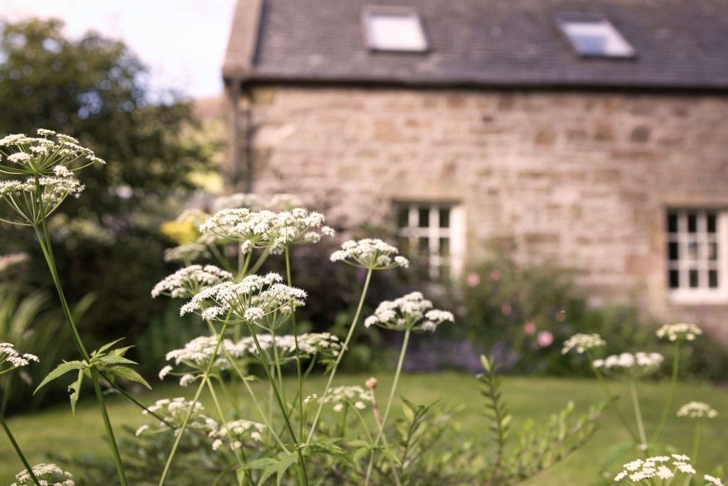
Places to stay near Great Polish Map of Scotland, and when each is next free.

Hidden Scotland, the magazine

Scotland, in print.

We want to show you the best that Scotland has to offer. The makers and the creatives, the enduring experiences, the evocative tales, the concealed corners. The roads less travelled that take you to places that matter. The adventures that gather you up and sweep you away. The blend of the wild and the artistic that makes Scotland what it is. We’d love for you to join us.