
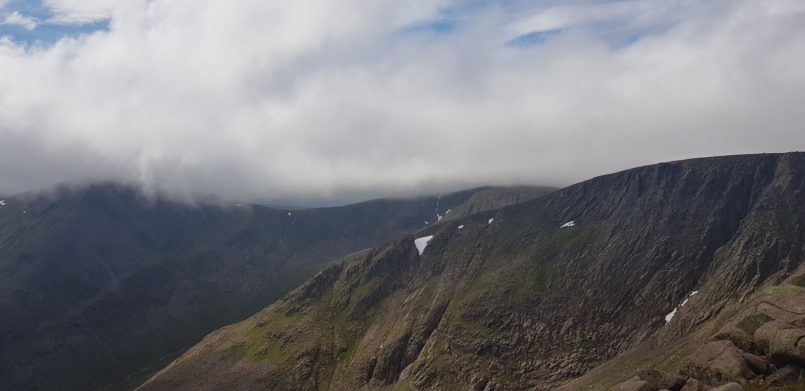
Braeriach
Britain's third highest mountain, 1,296 metres, in the western Cairngorms: a long day on exposed ground above the Lairig Ghru.
Welcome
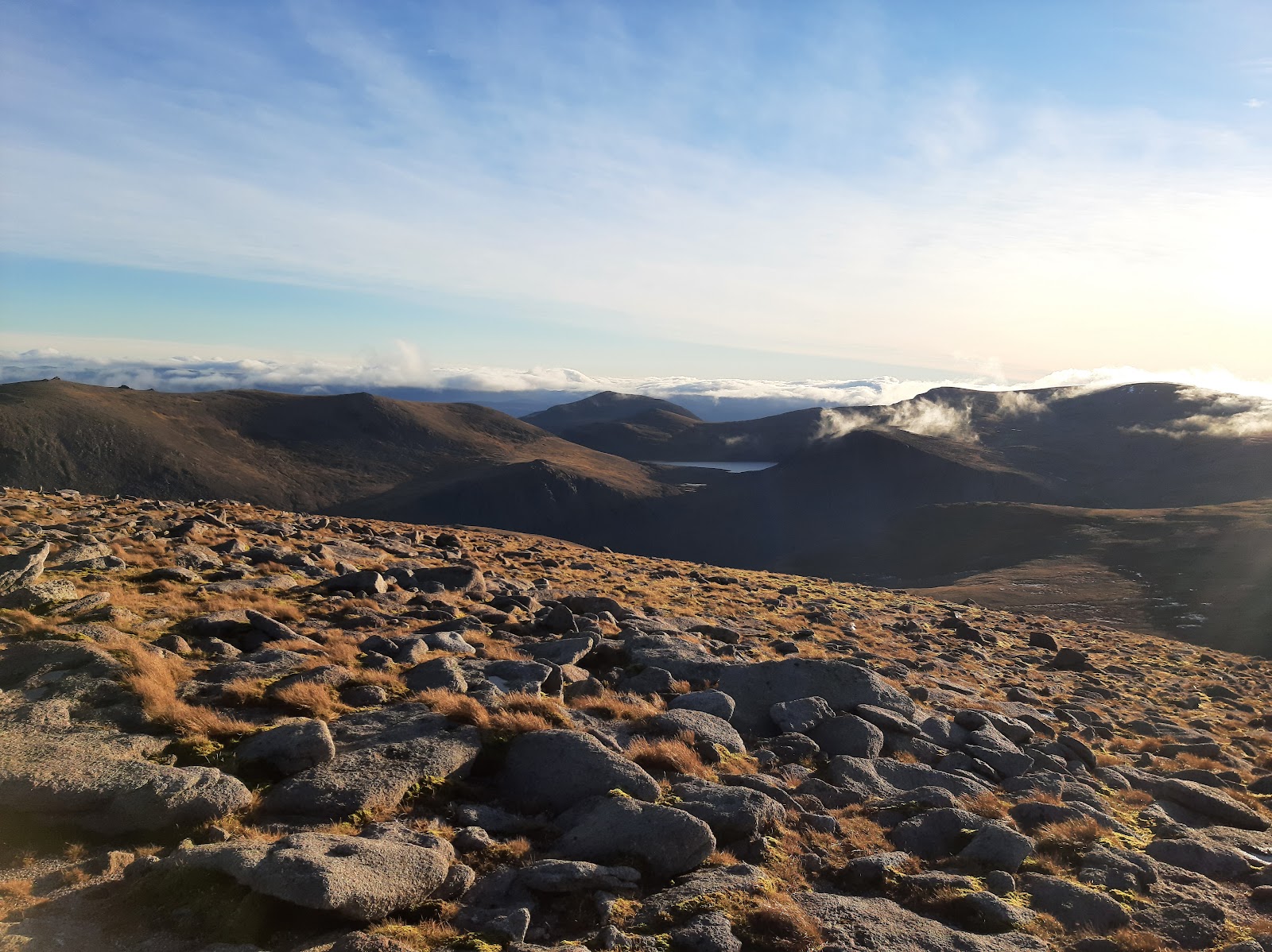
Braeriach is the third highest mountain in Britain, 1,296 metres high, in the western Cairngorms above the Lairig Ghru.
The walk takes you from the Caledonian pinewoods of Rothiemurchus up onto a vast plateau rimmed by corries, and the summit sits close to the edge of the cliffs with a view over the whole region. It is far less visited than the higher mountains nearby.
This is a long day on exposed ground. The circuit from Whitewell is 26 kilometres with 1,217 metres of ascent and takes eight to ten hours, and navigation on the plateau can be very difficult. Carry a backup means of navigation rather than relying on a single phone, app or map. Check the mountain weather forecast before you set out, and the avalanche forecast in winter. The quicker route goes there and back through the Chalamain Gap from the ski road. Between late September and 20 October there is deer stalking north of the hill, never on Sundays.
The Daily
Arrives at 5am every day.
A free morning email to see what’s on this week, catch up on what’s happening in Scotland and find somewhere new to go.

Before you go
This is a long, tough walk through exceptionally exposed terrain, and navigation on the plateau can be very difficult.
Go prepared, and check the forecast before you set out.
- Where
- The western Cairngorms, above the Lairig Ghru. Walkhighlands gives the start of the circuit as Whitewell in Rothiemurchus, grid reference NH915087.
- The walk
- Walkhighlands gives the circuit from Whitewell as 26 km (16.25 miles), 8 to 10 hours and 1,217 m of ascent, to a summit of 1,296 m.
- Hill safety
- Walkhighlands calls it a long, tough walk through exceptionally exposed terrain and says navigation can be very difficult on the plateau. It says the descent route is rougher, and advises carrying a backup means of navigation rather than relying on a single phone, app or map.
- Streams
- On the descent through Gleann Einich, Walkhighlands says the Beanaidh Bheag can be crossed on stones in dry weather, may need a wade, and would be impassable in spate.
- The quicker way
- Walkhighlands describes the most usual, quickest route as there and back through the Chalamain Gap from the car park part way up the ski road. Its Lairig Ghru page calls the Chalamain Gap an awkward boulder field.
- Deer stalking
- North of Braeriach and west of the Lairig Ghru there is stalking between late September and 20 October, never on Sundays. Walkhighlands says access to Braeriach stays open by the main track up Gleann Einich to the loch, the Coire Dhondail path and Einich Cairn, or from the Lairig Ghru via Sron na Lairige, and gives 01479 812345 (9.30am to 5.30pm) for information; the same number is the Rothiemurchus Countryside Rangers.
- Forecasts
- The Mountain Weather Information Service publishes a forecast for the Cairngorms National Park and Monadhliath. The Scottish Avalanche Information Service forecasts for the Northern Cairngorms and Southern Cairngorms and says its full forecasting service begins on 17 December 2026; its map shows which area a route lies in.
- If you need help
- In an emergency Scottish Mountain Rescue says to call 999 and ask for Police, then Mountain Rescue.
- Open
- An open hill with no set hours; allow 8 to 10 hours for the circuit.
- Price
- No charge for the walk is listed by Walkhighlands.
- Parking
- Before the end of the public road at Whitewell. Walkhighlands says it can fill up in summer and suggests the Loch an Eilein car park as another start.
- Getting there
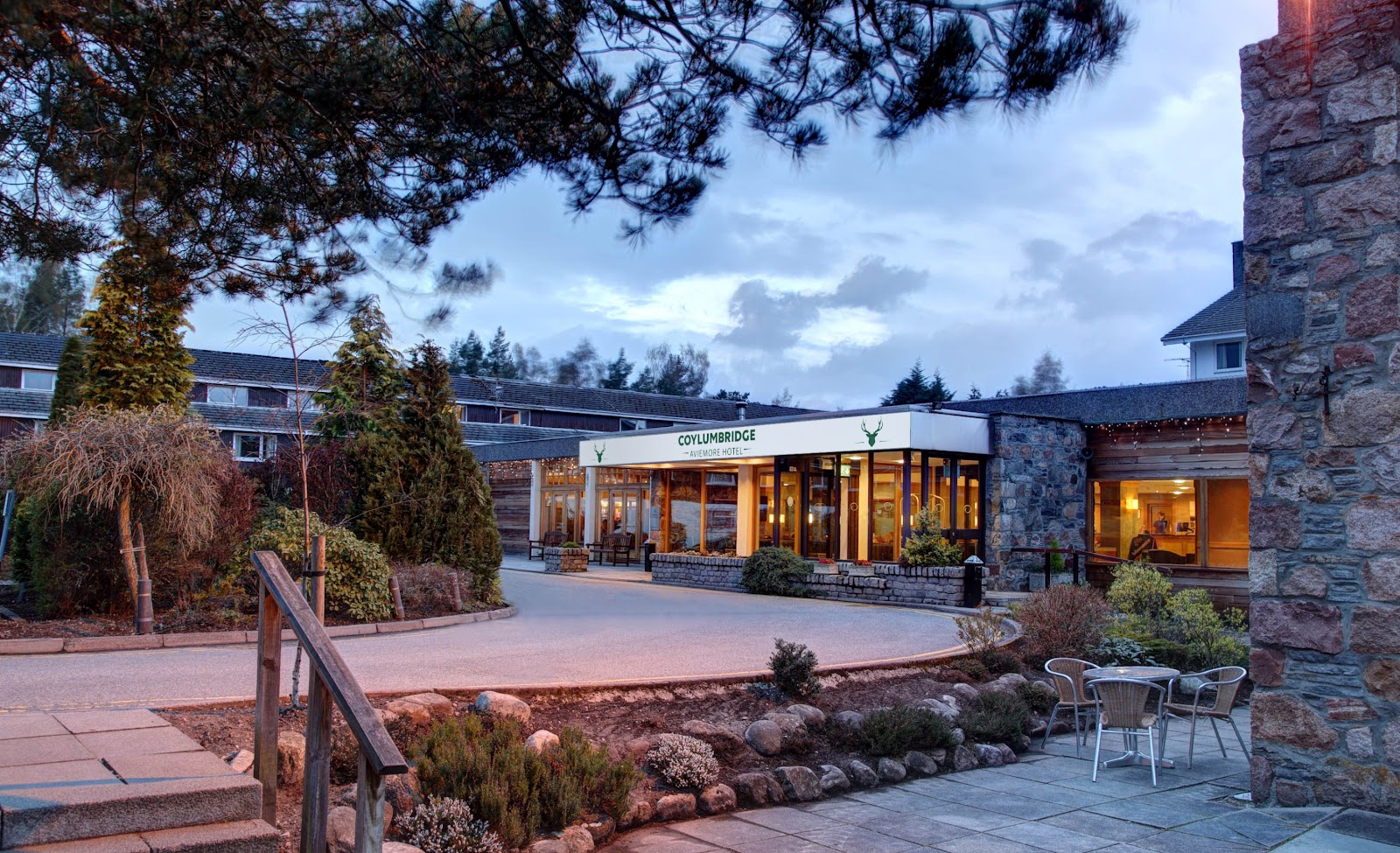
- Walkhighlands says there is no public transport to Whitewell, and suggests Coylumbridge as an alternative start.
Been here? Tell others what you know, and the best go on this page with your name.
Add your reviewWhere it is
In the western Cairngorms, above the Lairig Ghru, with the circuit starting at Whitewell in Rothiemurchus.
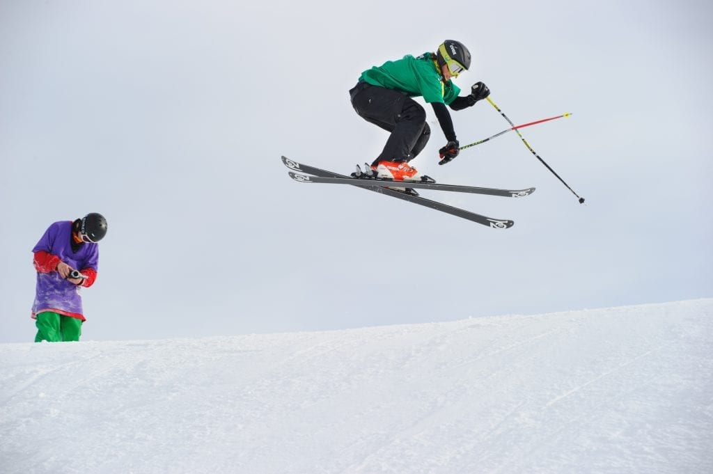 Skiing and Snowboarding in the CairngormsUnder a mile 2 min by road
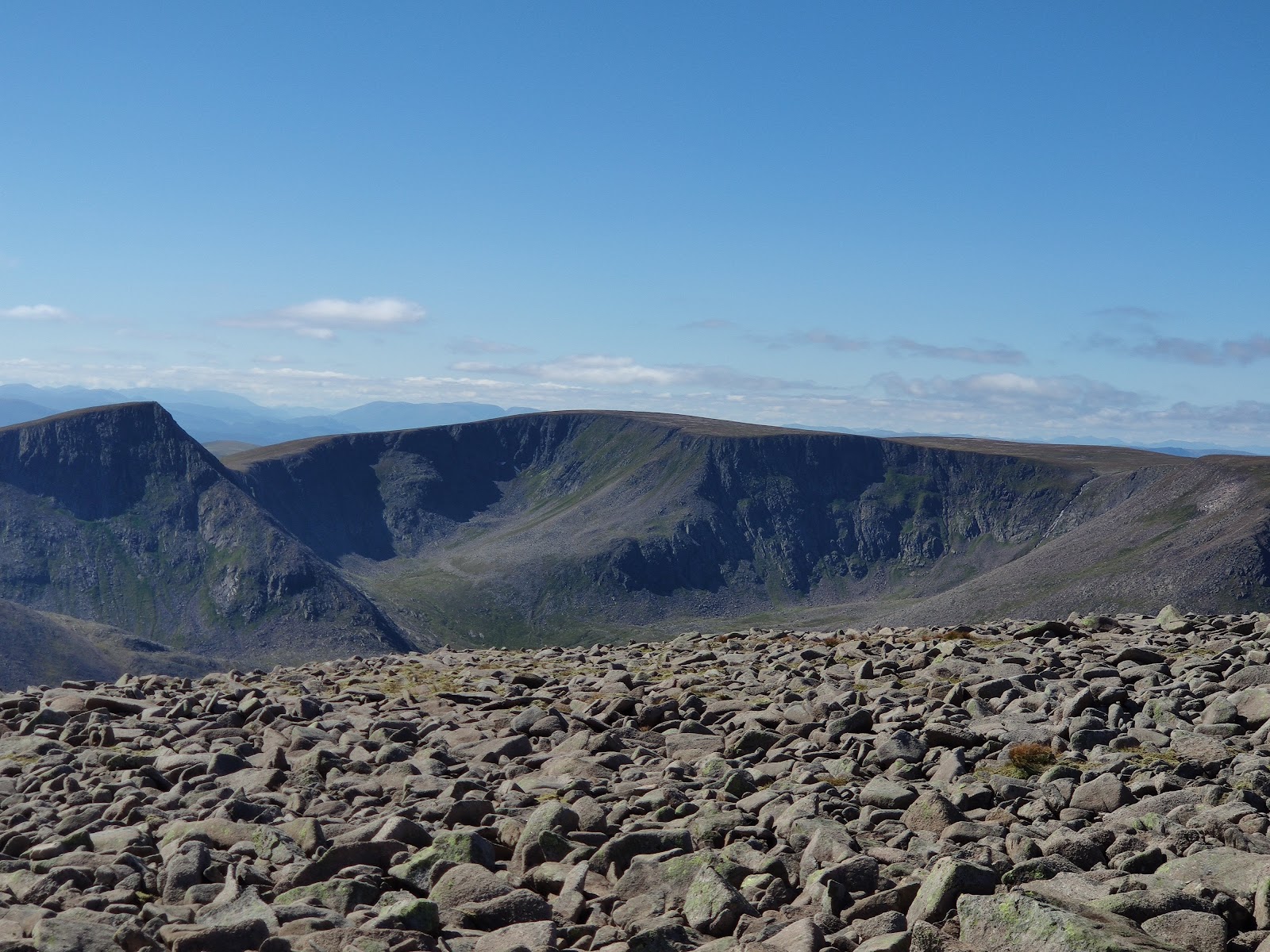 Ben Macdui2 miles as the crow flies
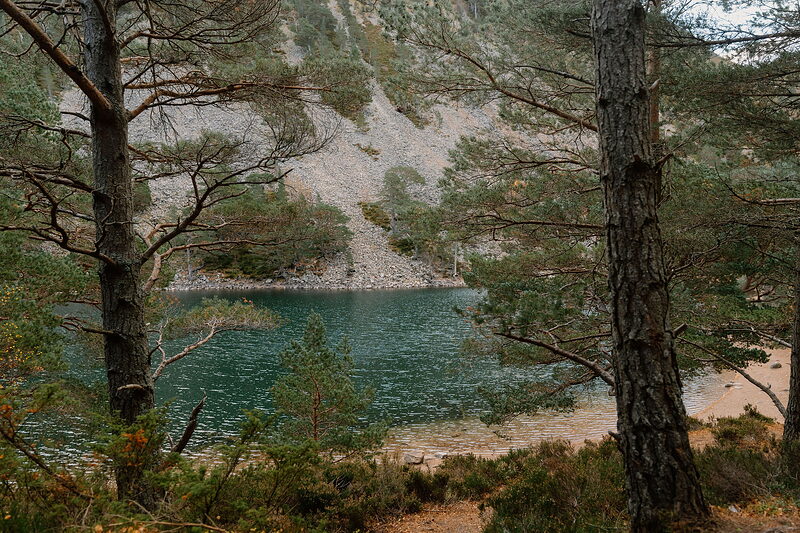 An Lochan UaineThe green lochan of the Ryvoan Pass above Glenmore, its water a startling green among the pines, said to be the fairies' washing place.3 miles 8 min by road
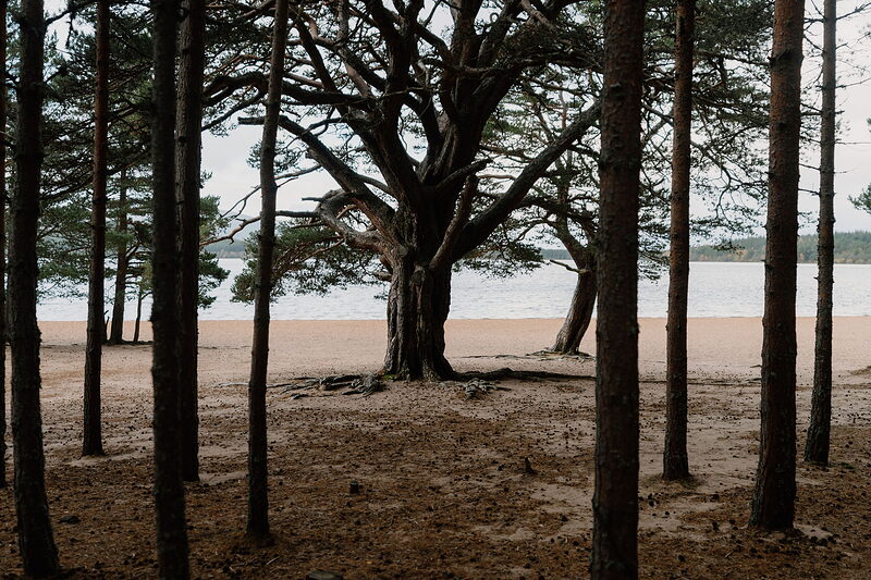 Loch MorlichThe highest beach in Britain, golden sand on a loch of the Glenmore pinewoods, with watersports and the Cairngorms beyond.4 miles 8 min by road
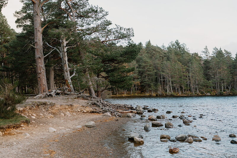 Loch an EileinA loch in the Rothiemurchus pinewoods, with a castle ruin on its island and a three-mile path round the shore.10 miles 20 min by road



Stay nearby
Places to stay near the hill, and when each is next free.
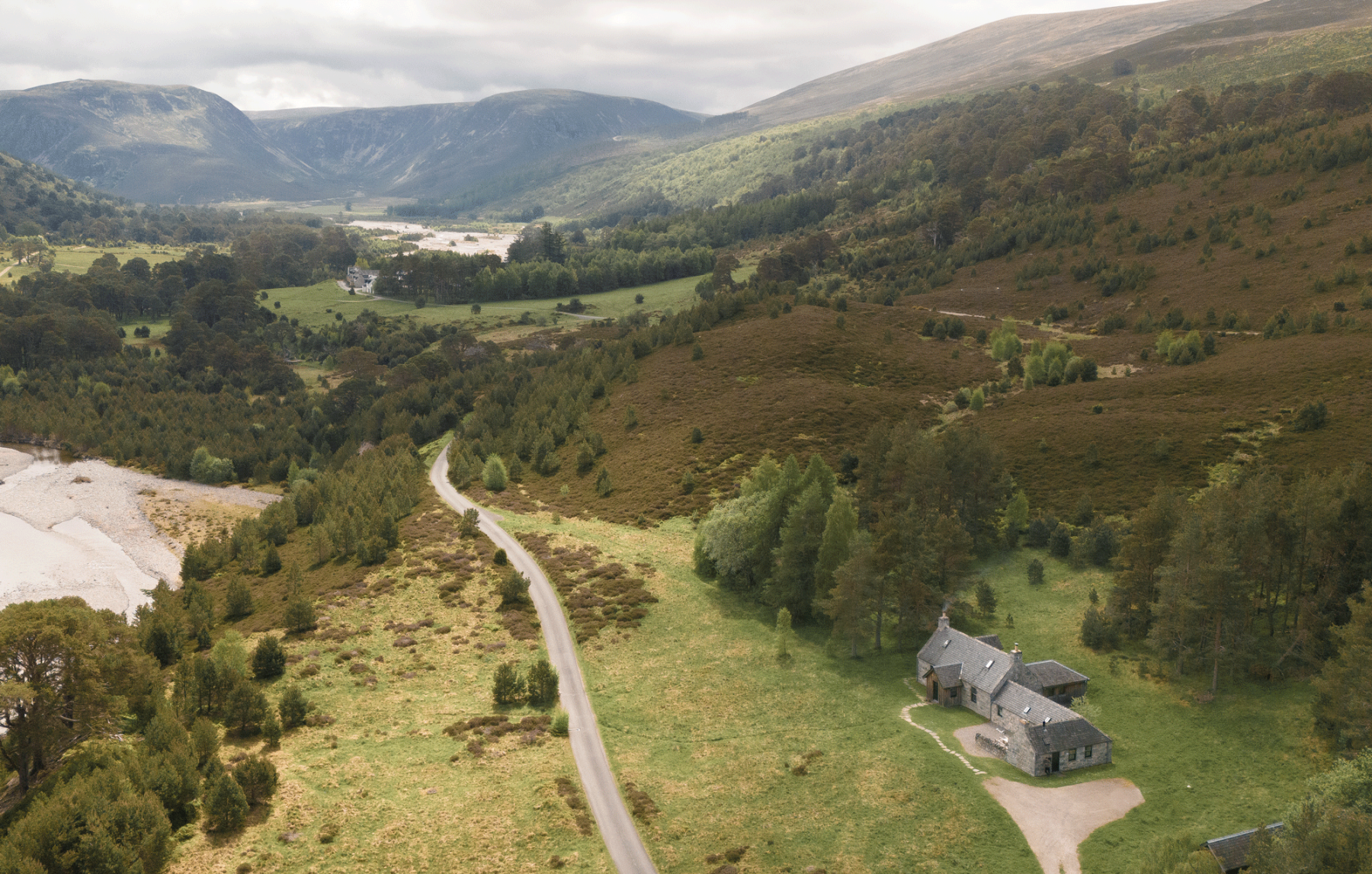 Kennels Cottage
- Sleeps 6
- In Glenfeshie
- 7 miles from Braeriach
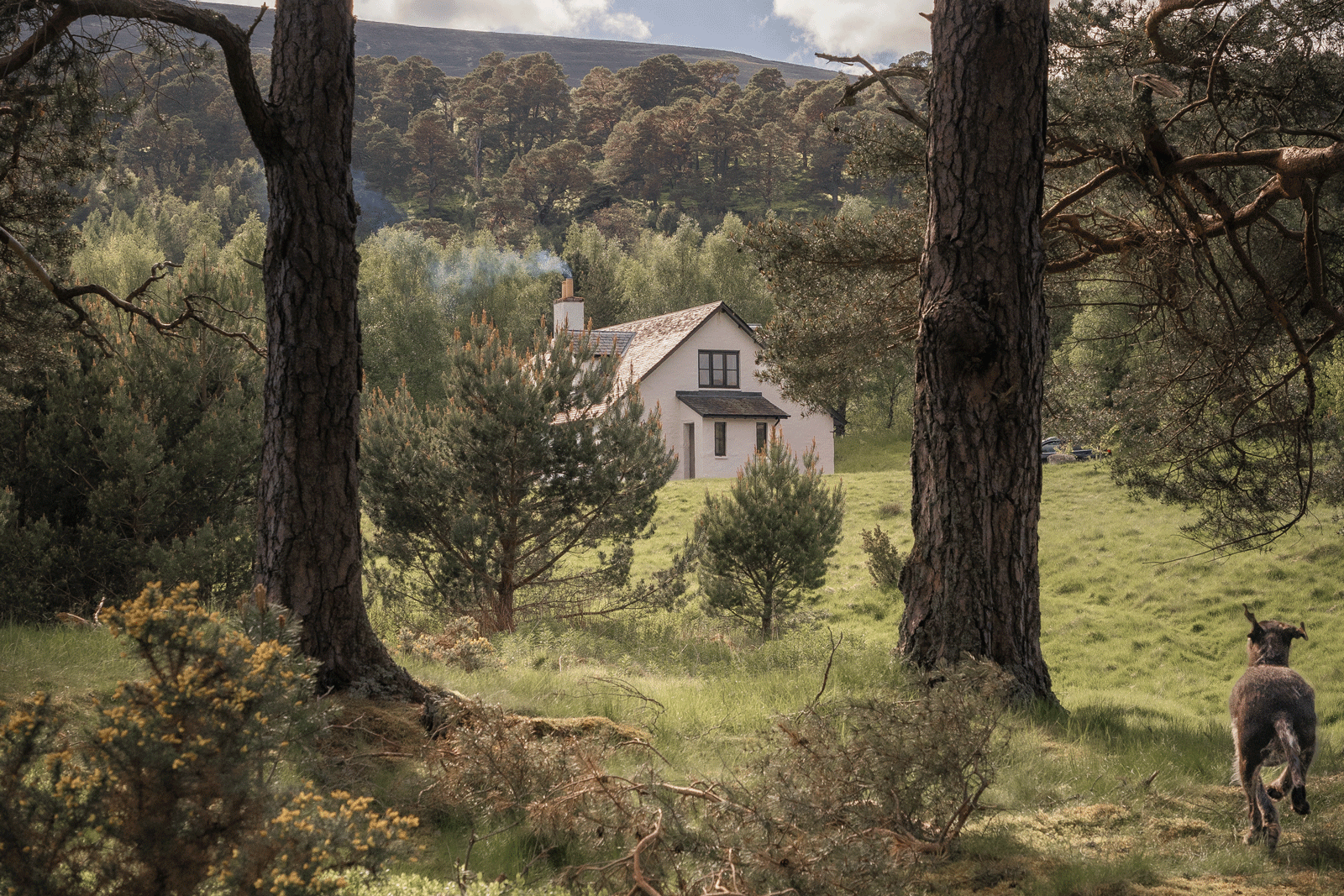 Coire Domhain Cottage
- Sleeps 10
- In Glenfeshie
- 8 miles from Braeriach
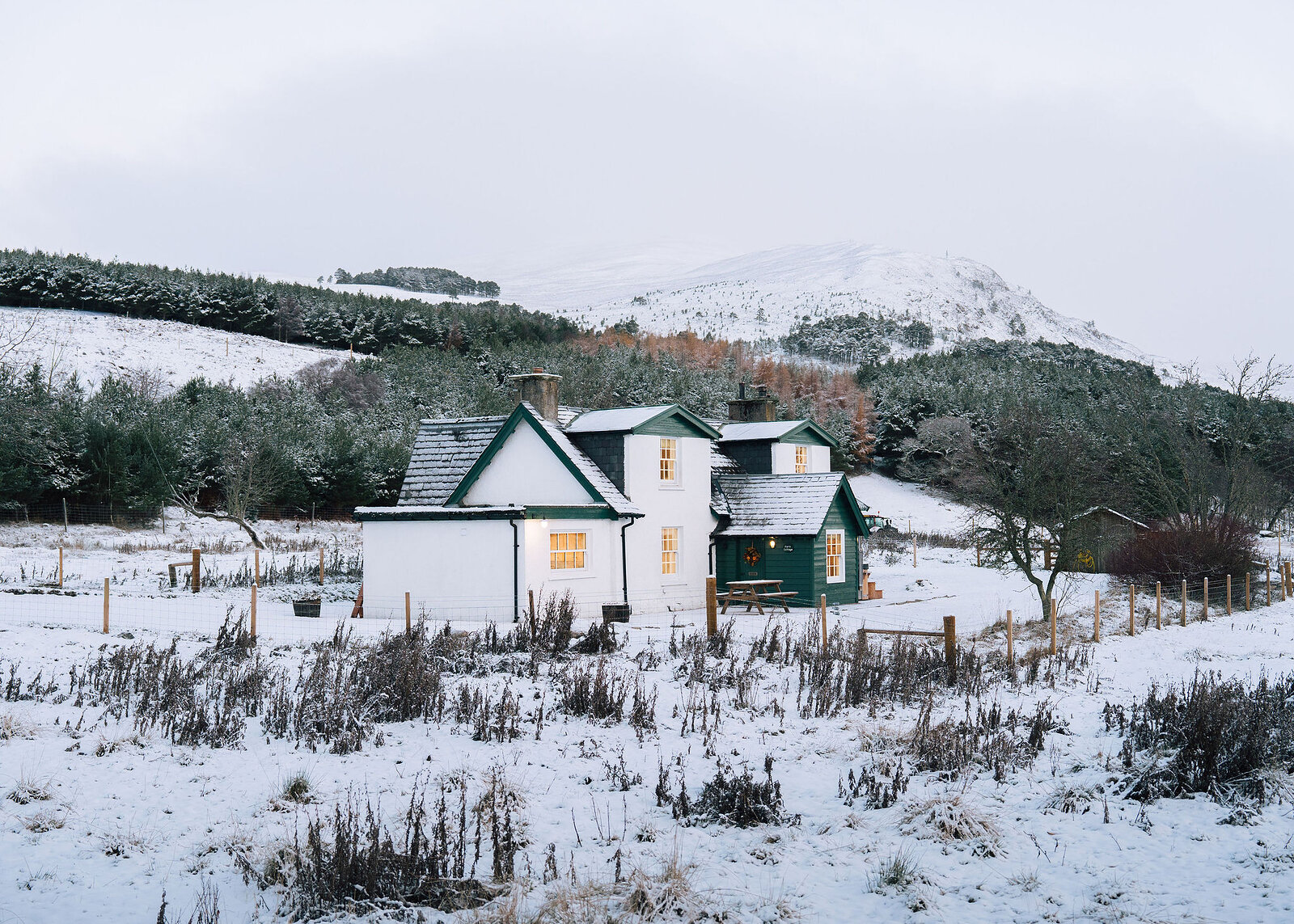 Park Cottage
- Sleeps 6
- In Kincraig
- 9 miles from Braeriach
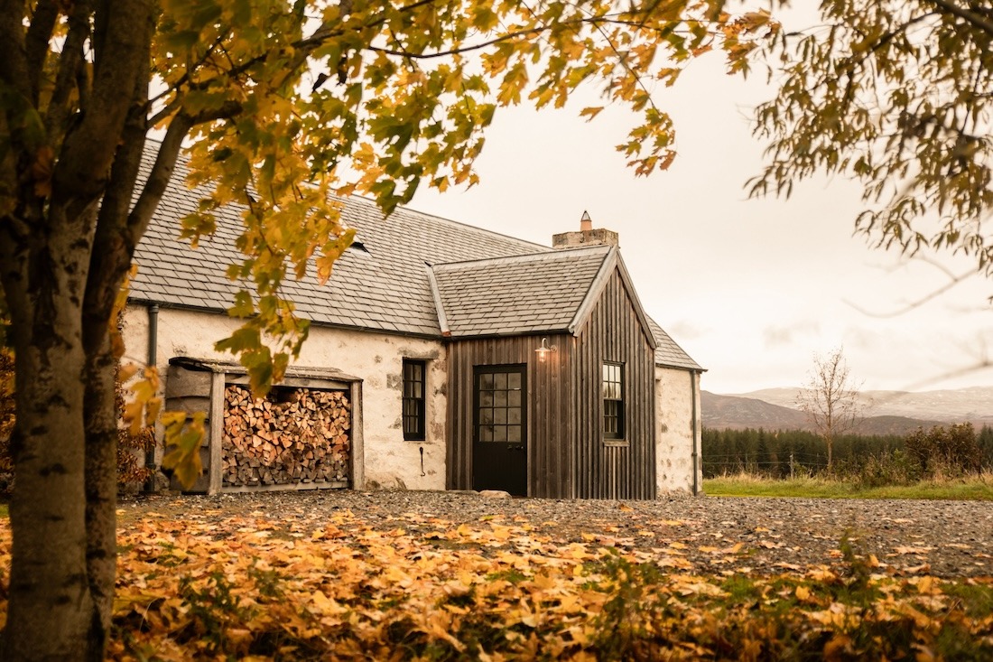 Geordie’s Cottage
- Sleeps 5
- In Cairngorms
- 10 miles from Braeriach
Scotland, in print.
We want to show you the best that Scotland has to offer. The makers and the creatives, the enduring experiences, the evocative tales, the concealed corners. The roads less travelled that take you to places that matter. The adventures that gather you up and sweep you away. The blend of the wild and the artistic that makes Scotland what it is. We’d love for you to join us.
Read on
What we have written about it and more in the Cairngorms.
Find out more
For further reading, before you go. The details on this page were checked on .
- Braeriach circuit from WhitewellThe route in full, with the stalking information.walkhighlands.co.ukWalkhighlands↗
- BraeriachThe Munro page, with the other ways up.walkhighlands.co.ukWalkhighlands↗
- Cairngorms mountain weather forecastThe daily mountain forecast for the Cairngorms National Park.mwis.org.ukOfficial↗
- Northern Cairngorms avalanche forecastThe Scottish Avalanche Information Service report for the Northern Cairngorms; its map shows which forecast area a route lies in.sais.gov.ukOfficial↗
- Rothiemurchus Countryside RangersThe estate's ranger team, for questions about Rothiemurchus.rothiemurchus.netOfficial↗