
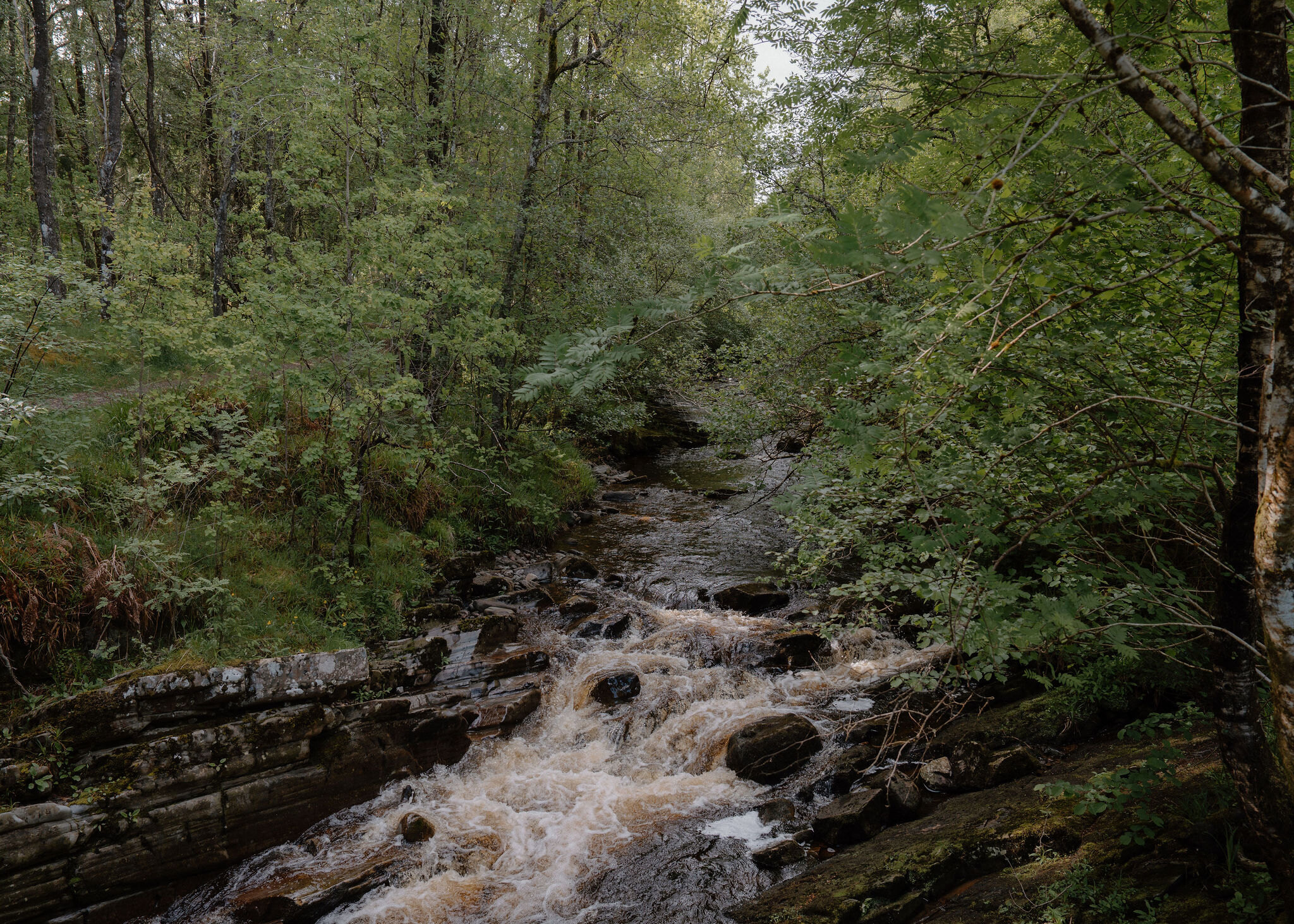
Carie – The Allt na Bogair Trail by Loch Rannoch
5 miles · 3½ hours · a loop
free parking · dogs on a lead
Carie is a forest car park on the quiet south shore of Loch Rannoch, a couple of kilometres east of the Black Wood of Rannoch.
Its longest trail is a loop up the Allt na Bogair, high above the burn in its gorge, through woods of oak, birch and old Scots pine, and back down the forest road with a view over the loch to Ben Alder. It's a long, peaceful morning, with short trails for small legs.
Where it starts
Start at the Carie car park on the South Loch Rannoch road (PH17 2QJ); free, with picnic tables.
Is it for me?
Tap who is coming, or the day you have, for the answer on this walk.
Before you go
On the path
About three and a half hours: the Allt na Bogair Trail, 8.3 km from the Carie car park. Or the Carie Trail, half a mile, a quarter of an hour, and the Kilvrecht Trail, a mile and a half, an hour. A walk. Wide, uneven gravel forest roads and grassy paths with roots, mud in places and a number of steep slopes. The Carie and Kilvrecht trails are short; on the long trail hold hands above the gorge, watch children by the water and check for ticks afterwards.
Good to know
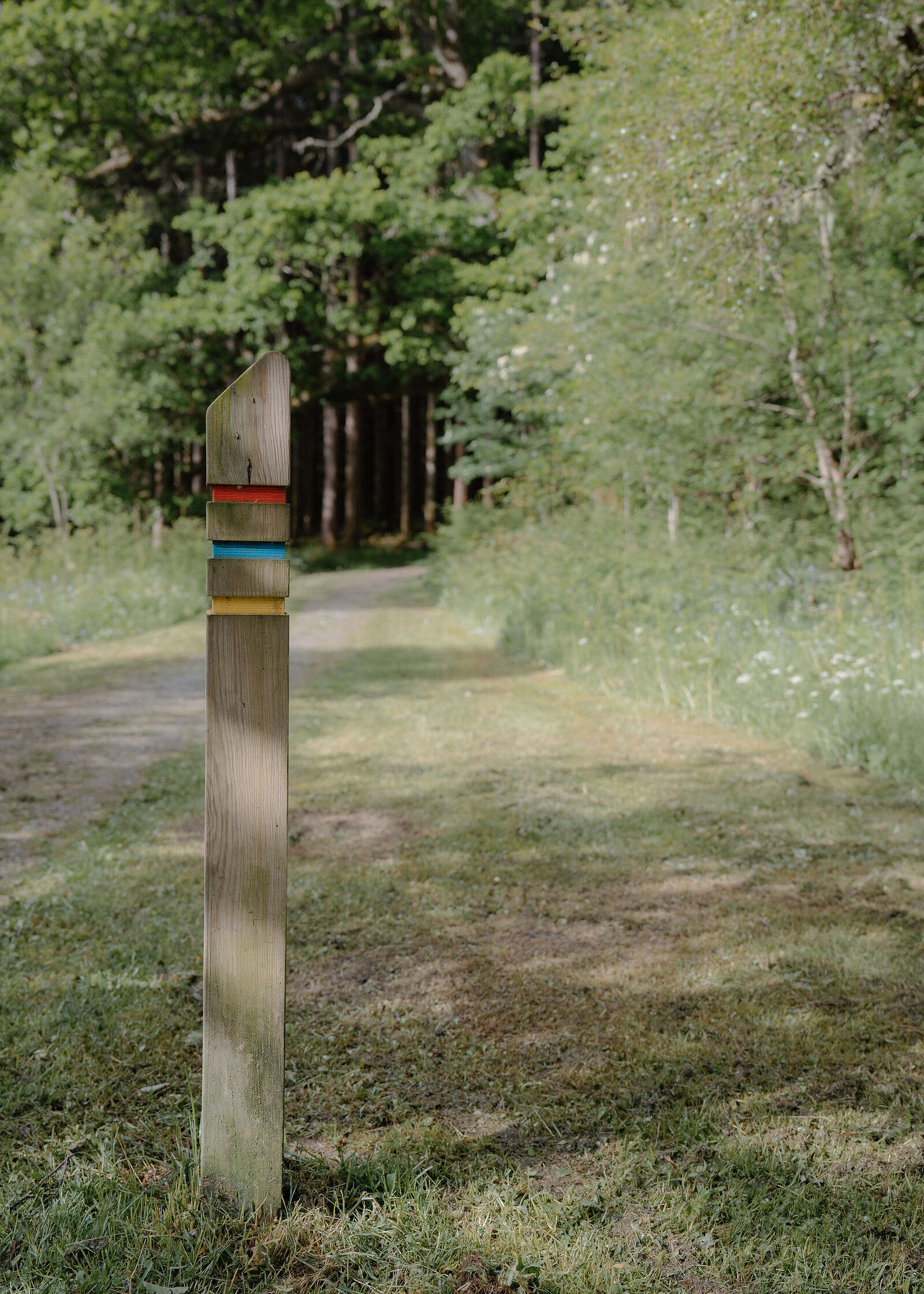
All year in daylight. Keep to the waymarked trail, follow any signs and turn back if one says so. From November to February, set off by 11am to be back in daylight. Dogs in sight and under control, on a lead if in doubt: deer, red squirrels and nesting birds live in the woods, and forestry vehicles use the roads. Toilets none at the car park. Kilvrecht Campsite's, a short walk away, while the campsite is open (27 March to 1 November in 2026). Forestry vehicles use the forest roads. Keep to the waymarked trail and follow any signs: turn back if one says so.
The walk
The walk starts at the Carie car park on the South Loch Rannoch road, about three and a half miles west of Kinloch Rannoch, next to Kilvrecht Campsite (nearest postcode PH17 2QJ). There's no charge, and there are picnic tables. Forestry and Land Scotland's Allt na Bogair Trail is a loop of 8.3 km, about three and a half hours, mostly on wide, uneven gravel, with grassy stretches, roots, some mud and a number of steep slopes. Watch for forestry vehicles on the forest roads.
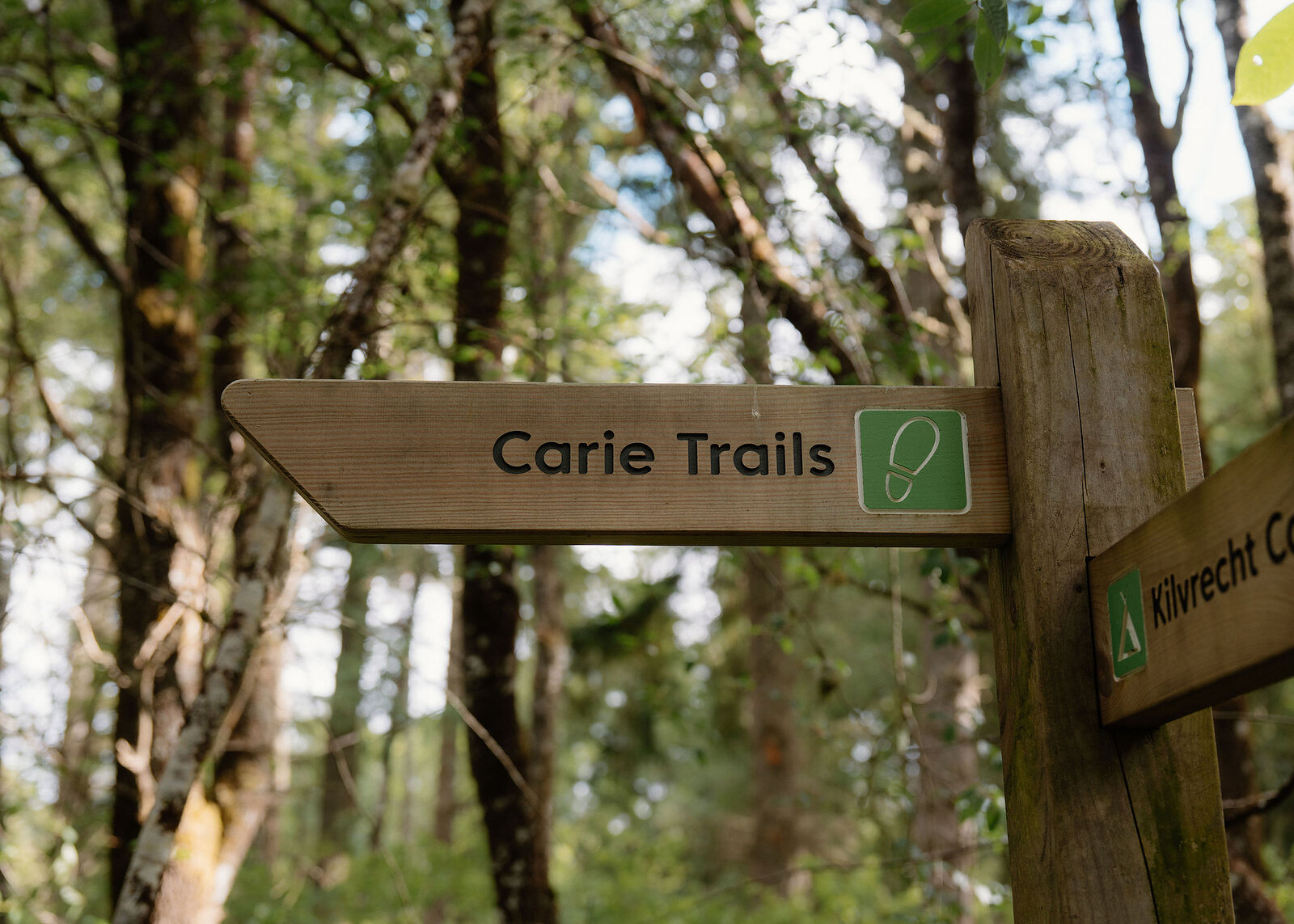
It follows the Allt na Bogair up its gorge, high above the rushing water, through woods of oak, birch and old Scots pine, and just before the trail turns away from the burn it passes a stand of ancient Scots pines, reddish-trunked and shaped like a bunnet. The way back is down the forest road, with views over Loch Rannoch and the Black Wood of Rannoch, and on a clear day across to Ben Alder and the Glencoe mountains beyond Rannoch Moor. Red squirrels, deer and pine martens live in the wood. For a short walk, the Carie Trail is half a mile, about a quarter of an hour on uneven gravel with narrow, rocky stretches, and the Kilvrecht Trail a mile and a half, about an hour on earth and grass paths with roots.
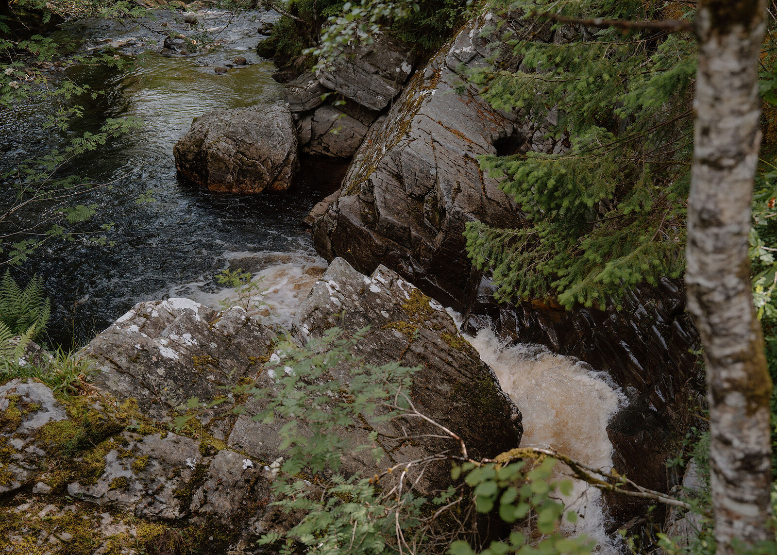
The toilets are at Kilvrecht Campsite, a short walk from the car park, while the campsite is open (27 March to 1 November in 2026), and the nearest shop is in Kinloch Rannoch. Keep to the waymarked trail and follow any signs on it, hold small hands where the path runs high above the gorge, keep a close eye on children by the water, and check for ticks afterwards.
If it rains
Mostly under the trees, but the paths are soft after rain, with muddy patches on the grassy stretches, so wear boots.
After the walk
Coffee and cake, something to do with the rest of the day, and dinner, nearest the end of the walk first.
Straight after
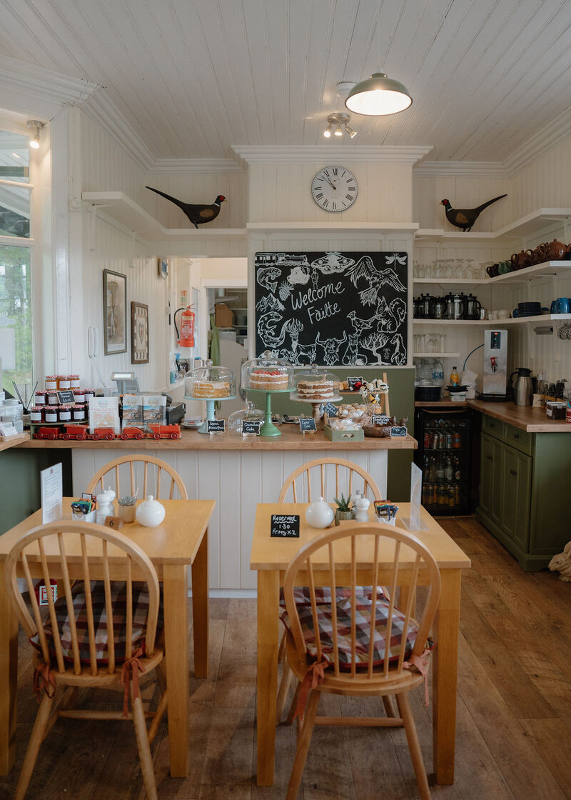
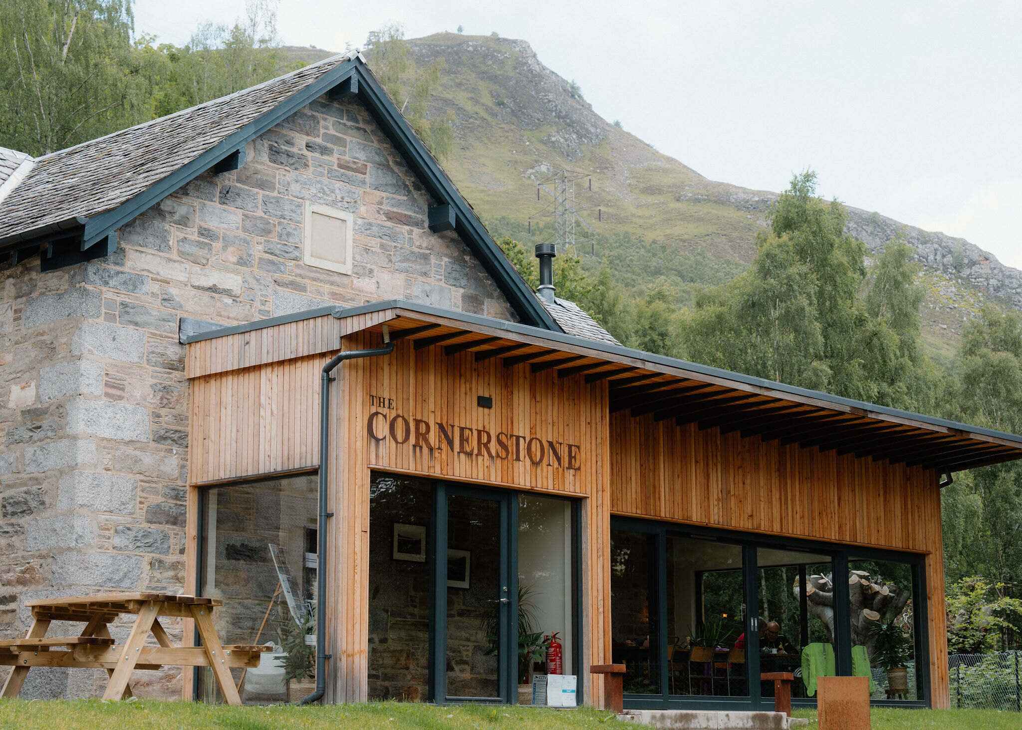 5 min by roadA restaurantThe CornerstoneKinloch Rannoch's community-owned bar and restaurant, in stone and timber by the Allt Mor waterfall, with local food and four rooms to eat in.
 18 min by roadA caféRannoch Station TearoomThe tearoom on the platform at Rannoch Station, at the end of the road across Rannoch Moor, with fresh meals and cakes, and an honesty box open at all hours.
 28 min by roadA caféAberfeldy Watermill Bookshop & CafeA bookshop, cafe, design shop and art gallery in a restored oatmeal mill of 1825 on Mill Street in Aberfeldy, UK Independent Bookshop of the Year in 2009.
With the rest of the day
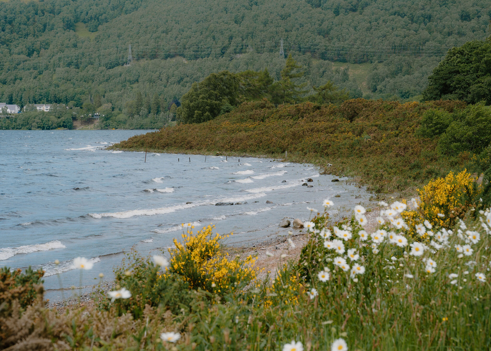 3 min by roadThings to doLoch RannochA long Highland loch west of Kinloch Rannoch, with a road right round its shore, sandy bays, the old pinewood of the Black Wood and Schiehallion above.
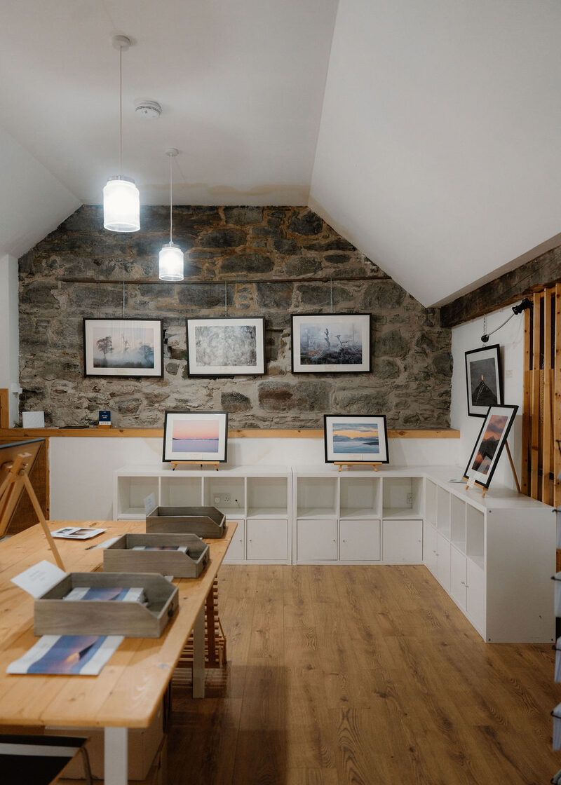 6 min by roadThings to doThe Shed GalleryA small gallery and workspace off the Square in Kinloch Rannoch, showing the landscape photographs of Ian Biggs and the work of local artists.
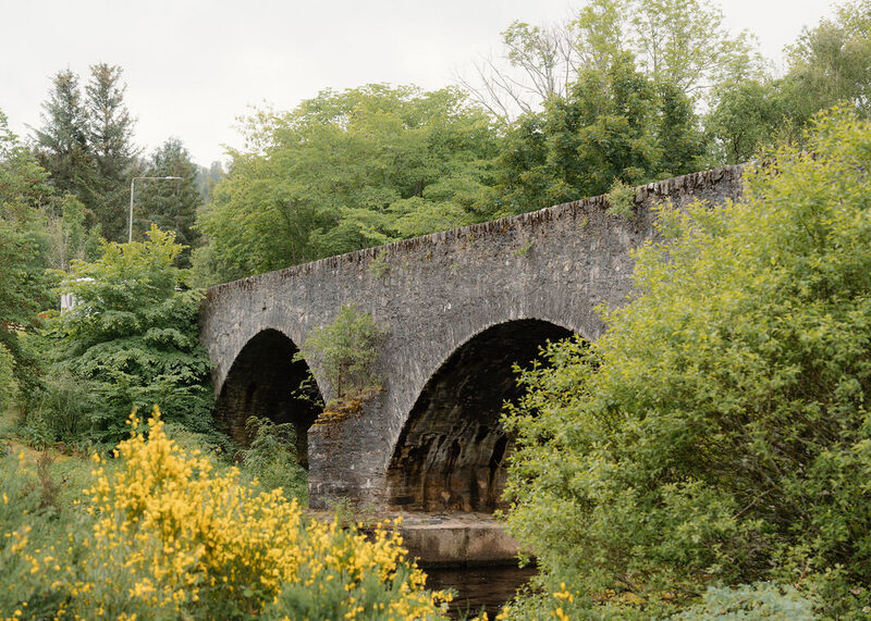 6 min by roadThings to doKinloch RannochA Highland village at the east end of Loch Rannoch, settled after 1745 by discharged soldiers under the Forfeited Estates, below the crag of Craig Varr.
For dinner
The Cornerstone in Kinloch Rannoch, 5 minutes by road. Kinloch Rannoch's community-owned bar and restaurant, in stone and timber by the Allt Mor waterfall, with local food and four rooms to eat in.
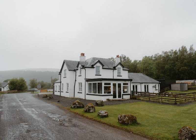
Moor of Rannoch Restaurant & Rooms in Pitlochry, 19 minutes by road. A restaurant with five rooms beside Rannoch Station on the West Highland Line, with a seven-course menu that changes daily and two AA rosettes.
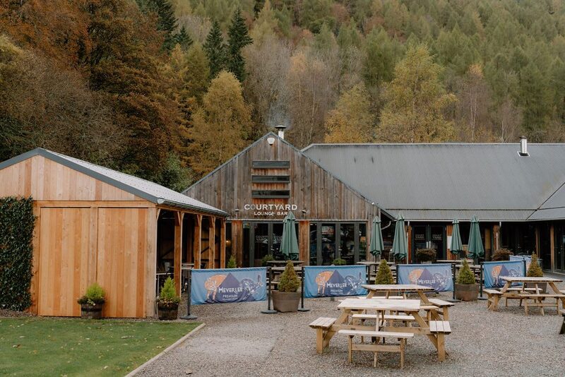
The Courtyard Brasserie & Bar in Kenmore, 23 minutes by road. A bar and brasserie in the courtyard of the Mains of Taymouth estate at Kenmore, open every day, with local food, a fire indoors and a big sunny terrace.
Places to stay near the walk
Our places to stay nearest the start, by road.
An advert
West Tempar Bothy
A restored farmyard bothy for two at the foot of Schiehallion, two miles from Kinloch Rannoch, with age-smoked panelling, a wood-burning stove and a king bed up a ladder.
Sleeps 2 · 6 minutes by road
See West Tempar Bothy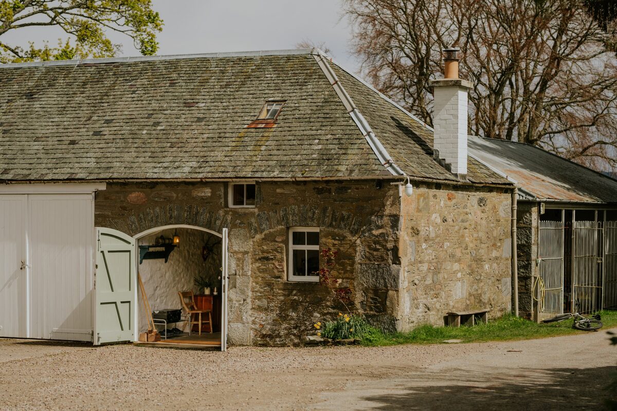
More places to stay near the walk
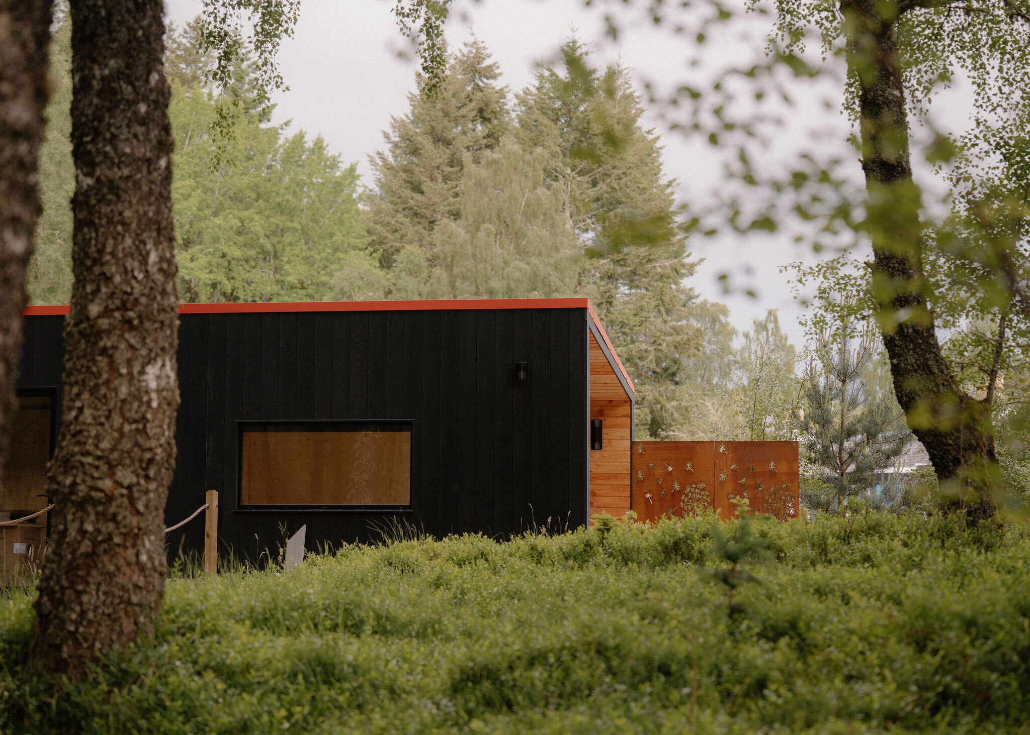 An advert · Kinloch RannochKin at Redhill RetreatSleeps 2 · A minute by road
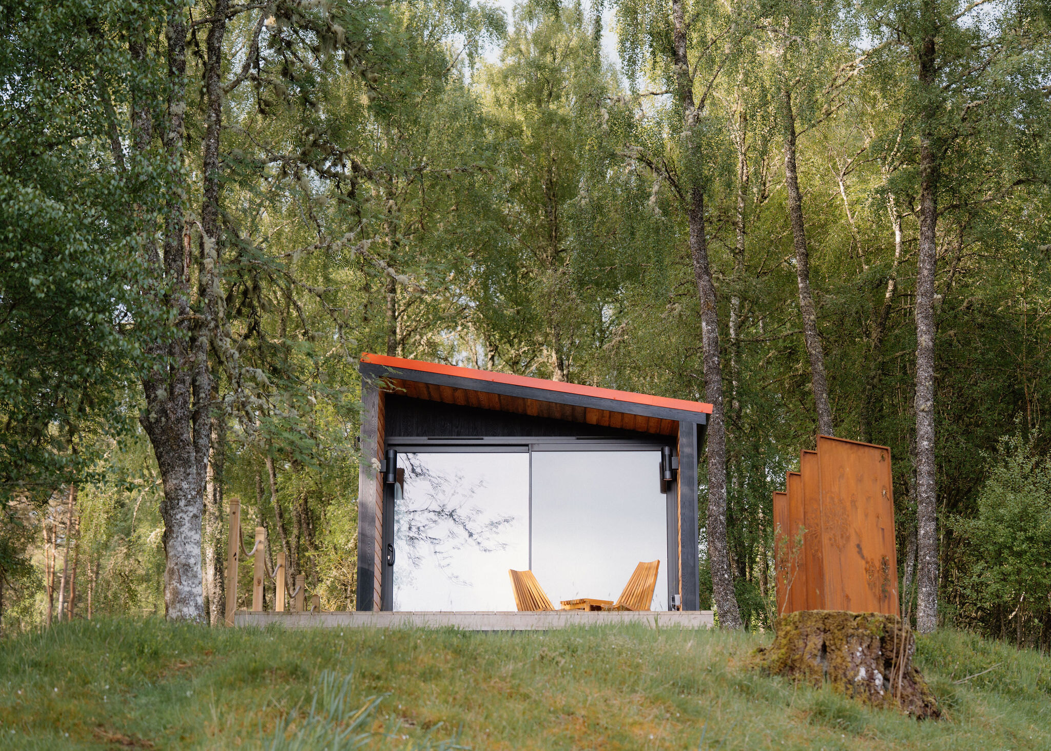 An advert · Kinloch RannochLoch at Redhill RetreatSleeps 2 · A minute by road
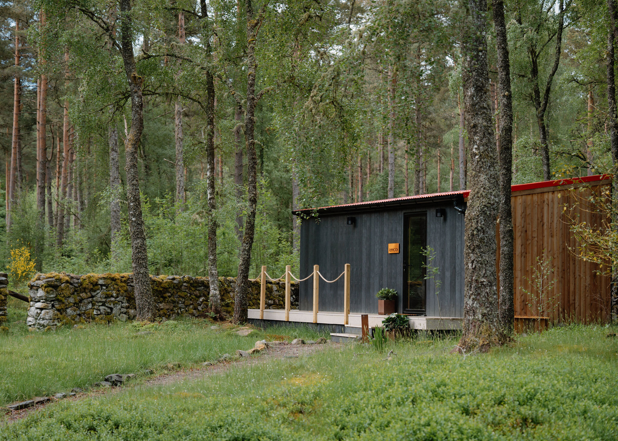 An advert · Kinloch RannochRannoch at Redhill RetreatSleeps 2 · A minute by road
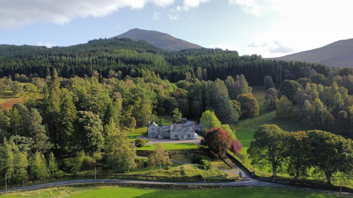 An advertLassintullich HouseSleeps 16 · 6 minutes by road
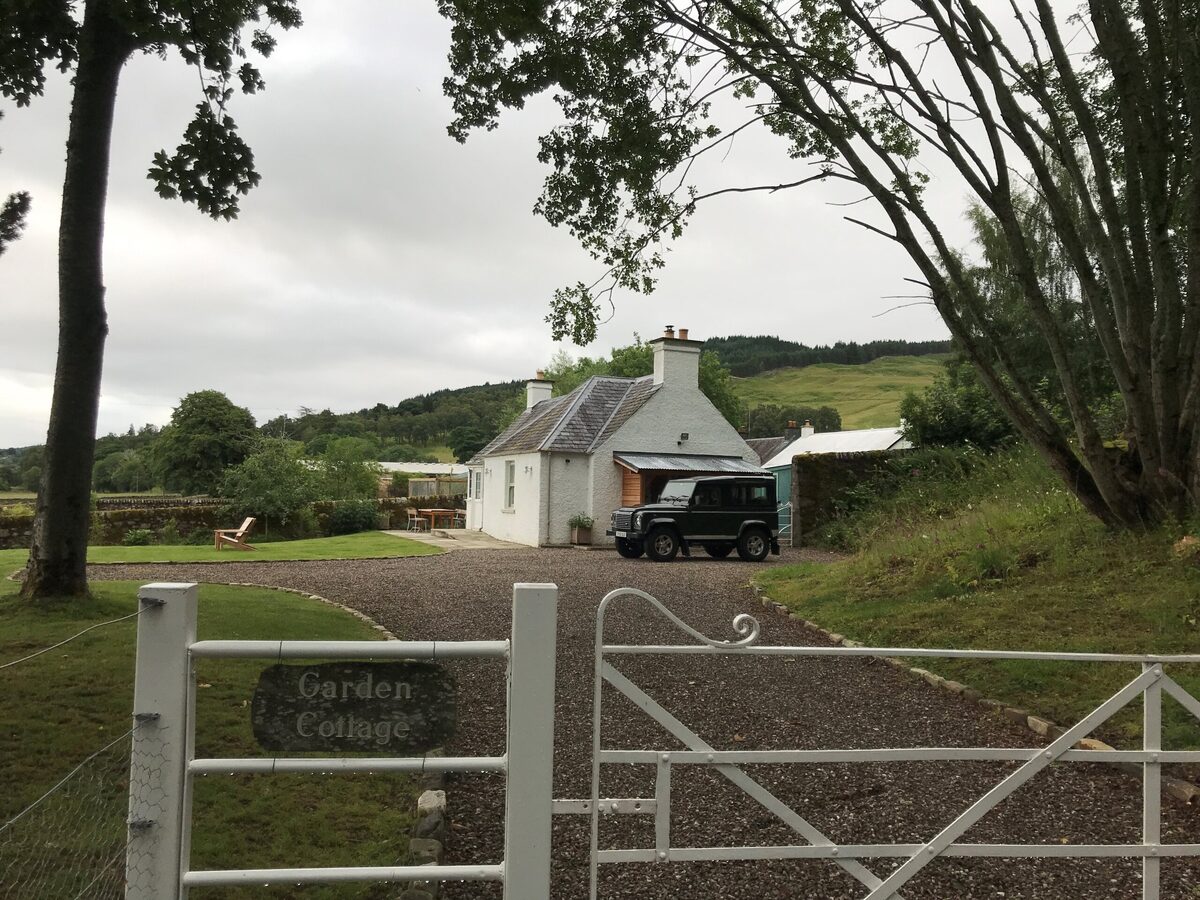 An advertGarden CottageSleeps 2 · 7 minutes by road
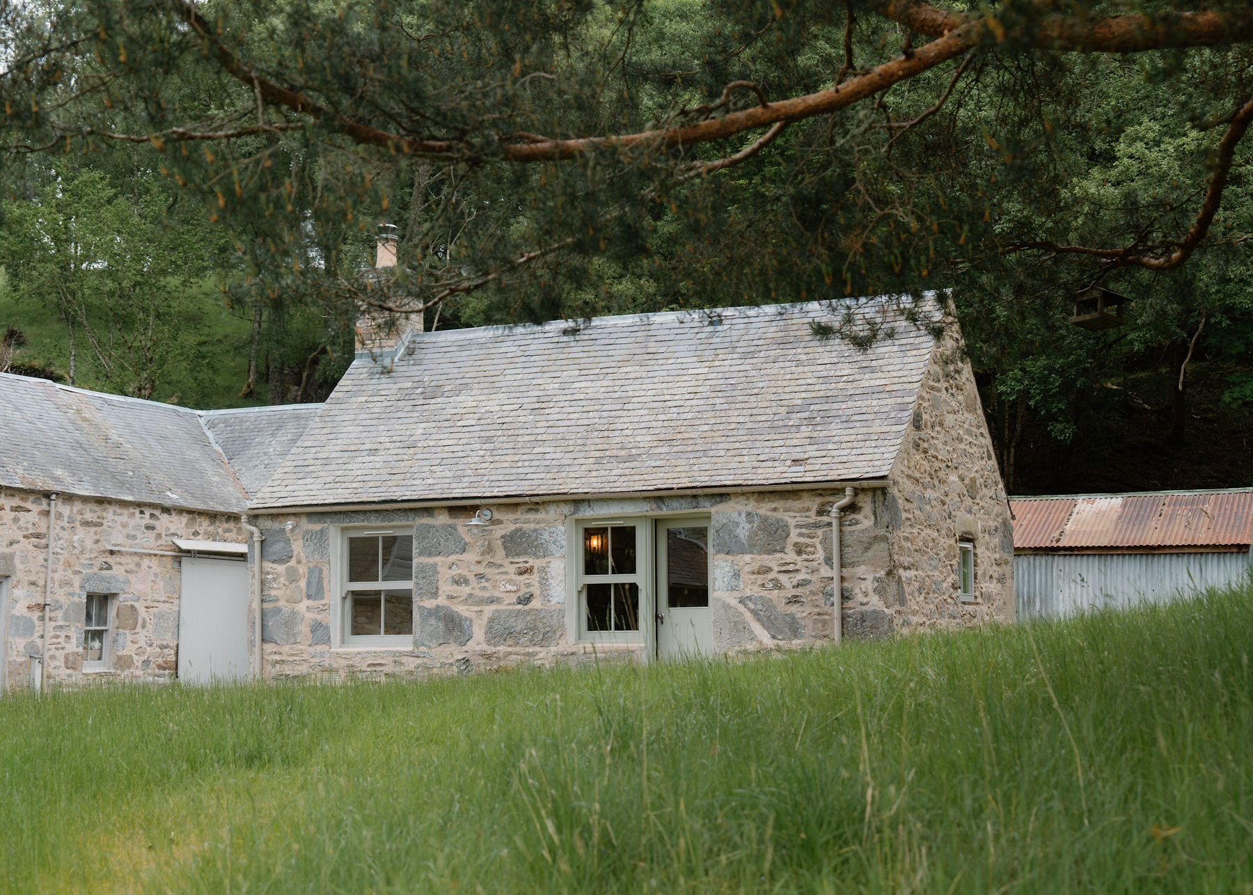 Somewhere to stayLassintullich BothySleeps 2 · 6 minutes by road
More walks near here
Within a short drive of the start.
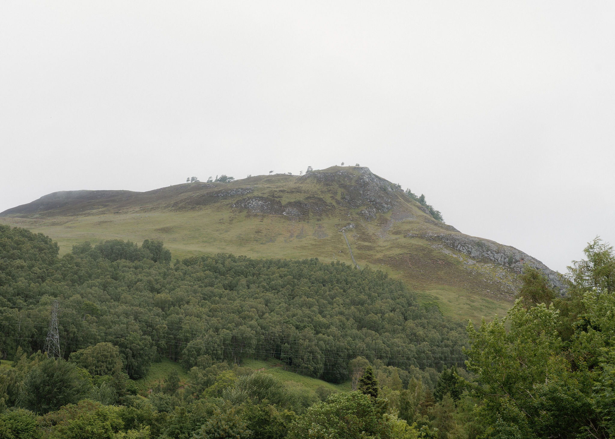 5 min by roadA hillCraig Varr2¾ miles, 2 to 3 hours
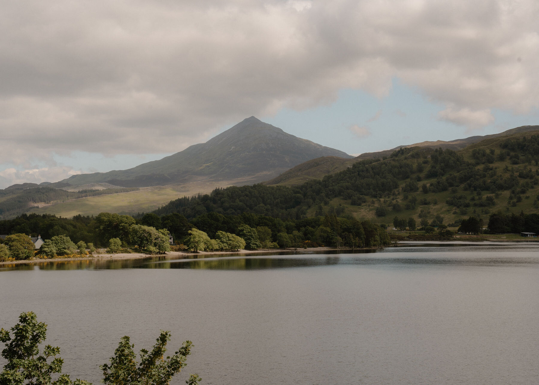 12 min by roadA hillSchiehallion6½ miles, at least 5 hours
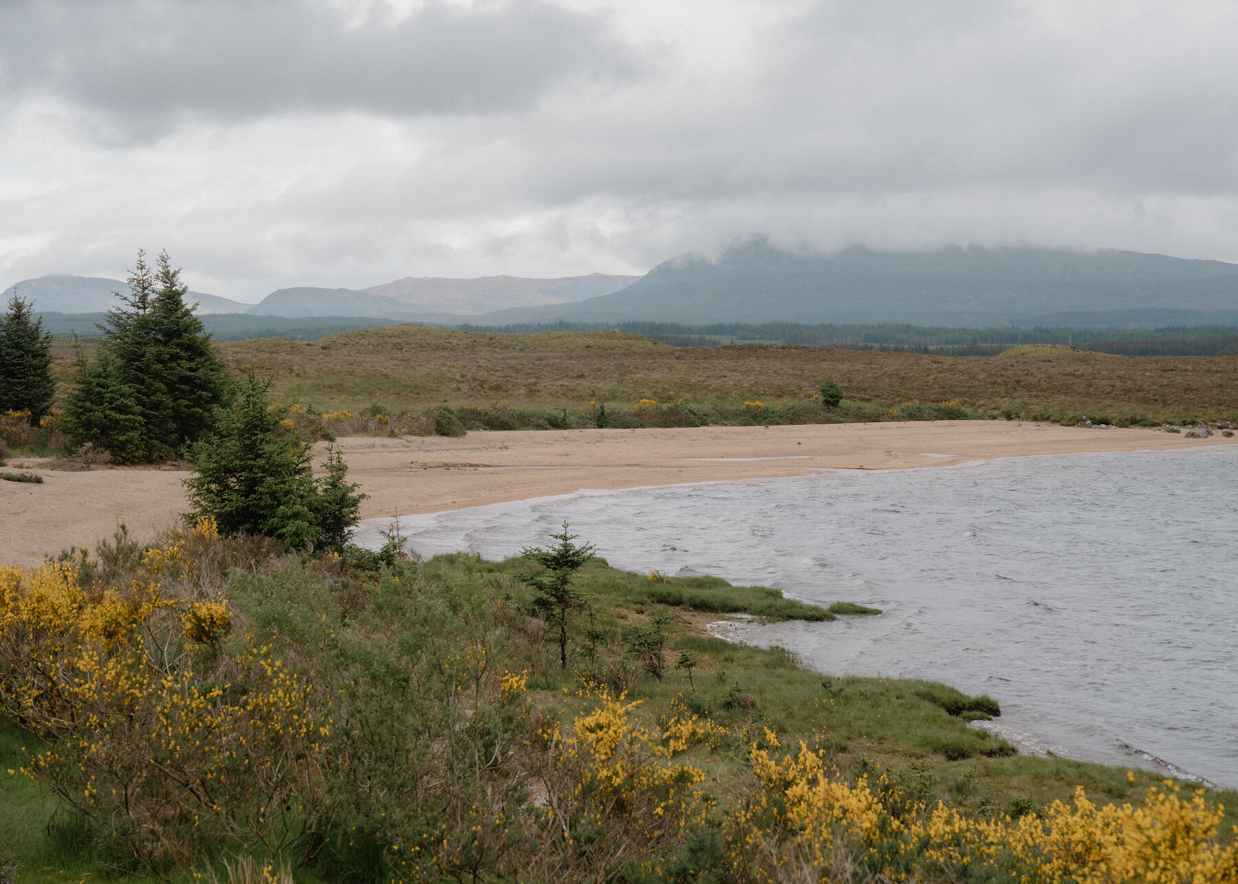 17 min by roadA strollRannoch Station1½ miles, about 1.3 km (0.8 mile) each way, 2.6 km (1.6 miles) there and back by OpenStreetMap's track and path, from the station over the level crossing to the beach at the head of Loch Laidon. Nearly level, about 15 to 20 m down to the loch by OS Terrain 50. No source gives a time for this walk
Did this walk?
Tell the next person how it went. The best go on this page, with your name.
For further reading, before you go.
Maps from OpenFreeMap © OpenMapTiles, data © OpenStreetMap contributors; heights from Mapzen's terrain tiles.