
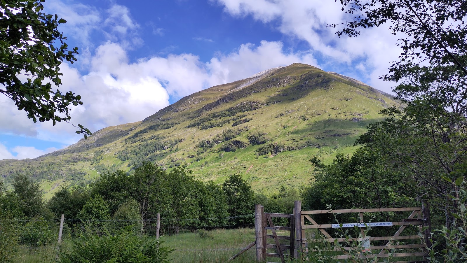
Sgurr a' Mhaim – Up the North-West Shoulder and Back
4½ miles · 4 to 5 hours · a hill · there and back
dogs welcome · toilets
Sgurr a' Mhaim, 1,099 metres, is one of the higher Munros of the Mamores, above Glen Nevis.
The usual way up from the road climbs its long north-west shoulder from the Lower Falls, straight and steep on a rough, loose path. The path goes up through the quartzite screes to the summit, and comes back the same way. By our map it is about 7.2 km there and back with about 1,050 metres of climb, and it takes about 4 to 5 hours. It is a steep, stony mountain where mist and winter come in fast: for hillwalkers who can find their way with a map and compass.
Where it starts
Start at the Highland Council's Lower Falls car park, just beyond Achriabhach, about 7 km up the Glen Nevis road from Fort William.
Is it for me?
Tap who is coming, or the day you have, for the answer on this walk.
Before you go
Getting there
Steven Fallon says there is a charge to park. OpenStreetMap marks a two-hour limit; check the signs. The start is reached by the Glen Nevis road from the roundabout at the north end of Fort William. Shiel Buses' route 41, a limited summer service, stops at the Glen Nevis Youth Hostel lower down the glen: check the times with the operator.
On the path
About 4 to 5 hours there and back: about 7.2 km (4½ miles) and 1,050 metres of climb by our map. From the Lower Falls car park in Glen Nevis up the north-west shoulder to the summit, 1,099 metres, and back the same way. A track, then a rough path up the side of Coire a' Mhusgain and through a gate in a deer fence. Then a steep, rough and loose path straight up the north-west shoulder, and loose quartzite scree below the summit. About 7.2 km of steep, rough walking with 1,050 metres of climb, and loose quartzite scree near the top: for children used to big hill days, with an adult who can navigate. The map to carry is OS Explorer 392, Ben Nevis & Fort William (The Mamores & The Grey Corries, Kinlochleven & Spean Bridge) (1:25,000); Harvey Superwalker, Ben Nevis (1:25,000) shows the country round it.
Good to know
Summer and early autumn in daylight, on a clear, dry day with a good forecast. Keep dogs under close control, and mind the loose scree near the top. The Highland Council lists composting toilets at the Lower Falls car park, open through the winter. None on the hill. Munro Magic points walkers to the Hillphones service for stalking in the area: follow any signs. Under snow it is a winter mountain: read the Scottish Avalanche Information Service's Lochaber forecast, which does not name the Mamores, but the risk is here all the same.
The walk
The usual way up Sgurr a' Mhaim from a road starts at the Lower Falls car park in Glen Nevis. A rough path climbs the hill's long north-west shoulder, straight and steep, through the quartzite screes to the summit, and comes back the same way. By our map it is about 7.2 km (4½ miles) there and back, with about 1,050 metres of climb. Allow about 4 to 5 hours, more with stops, in poor weather or under snow. The summit is 1,099 metres up, and the car park only about 60 metres.
Sgurr a' Mhaim stands in the Mamores, the range above Glen Nevis, and its summit is capped in pale quartzite. Many walkers climb it as part of the Ring of Steall, a long round of four Munros by the Steall gorge. Some come by Coire a' Mhusgain and the Devil's Ridge, and others up from upper Glen Nevis. South of the summit the Devil's Ridge is a narrow, exposed crest with a scramble, dropping steeply on both sides. It is a harder undertaking, never part of this walk. This walk goes up the north-west shoulder to the summit and back, and no further.
The Lower Falls car park is the Highland Council's, just beyond the farm buildings of Achriabhach, about 7 km up the Glen Nevis road from Fort William, Steven Fallon says. He says there is a charge to park. OpenStreetMap marks a two-hour limit, and this walk takes 4 to 5 hours: check the signs before you set off. The Highland Council lists composting toilets at the Lower Falls car park, open through the winter.
Before you set off, check the mountain forecast: the Mountain Weather Information Service's West Highlands forecast covers the hills round Ben Nevis. Carry a map and compass and know how to use them: Munro Magic says the way needs map reading and the ability to navigate with a compass. Visibility can change markedly with the cloud level, it warns. The Lochaber Mountain Rescue Team answers more than 150 call-outs a year from its base in Fort William. Munro Magic points walkers to the Hillphones service for stalking in the area, so follow any signs.
From the car park walk up the road towards the bridges and cross the first. Before the second bridge, over the Water of Nevis, go through the gate on the right. Follow a track, then a rough path south-east above Coire a' Mhusgain. After about 1 km, and about 230 metres up by our map, the path splits: take the left fork, east. The right-hand path goes on into Coire a' Mhusgain, and this walk leaves it here.
The path goes through a gate in a deer fence and strikes straight up the north-west shoulder. It is rough and loose, Steven Fallon warns, and it hardly lets up: one walker called it a challenging, unrelenting plod. By our map the steepest part, about 2 km out, rises about 50 metres in every 100, with a crag close beside the path. Munro Magic warns of steep slopes and crags on or near the ways up, and of slopes that are steep and strewn with boulders.
At about 900 metres, about 2.9 km out by our map, the path meets the pale quartzite screes below the summit. It zigzags up through them onto the summit crest. The screes are loose and tiring, and slow on the way down: take care, above all when it is wet or icy. The summit, 1,099 metres, has a large, untidy cairn.
In mist, mind the way off the summit. Go back north-west down the crest and the screes, the way you came, and pick up the path down the shoulder. Do not follow the ridge south onto the Devil's Ridge. Keep off the other ridges to the north: Munro Magic says they are steep and craggy and should be avoided. If the cloud comes down, the wind rises or anyone is tiring, turn back by the way you came.
Under snow Sgurr a' Mhaim is a winter mountain: the steep shoulder and the summit screes then need winter gear and the skill to use it. Munro Magic asks winter walkers to check the avalanche forecast. The Scottish Avalanche Information Service's Lochaber forecast centres on Ben Nevis and the Aonach Mor range and does not name the Mamores. Snow brings the risk here all the same.
The way down is the way you came: down the screes and the shoulder, through the deer fence and back to the road. The descent is steep and loose and hard on the knees, so allow time for it. In an emergency call 999 or 112 and ask for Police and Mountain Rescue, Mountaineering Scotland says. Give a six-figure grid reference and a named feature if you can. Phone signal in the Highlands is often patchy: to be able to text 999, register first by texting the word register to 999.
If it rains
None on this walk: in rain, low cloud or a high wind, leave the summit for another day. Wet quartzite scree and the loose path on the shoulder turn slippery and slow, above all coming down. In mist go back north-west from the summit the way you came, never south onto the Devil's Ridge. If the cloud comes down, turn back by the way you came.
After the walk
Something to do with the rest of the day, nearest the end of the walk first.
With the rest of the day
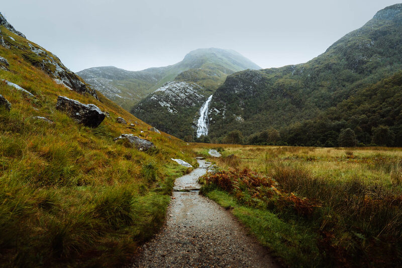 5 min by roadThings to doSteall FallsScotland's second highest waterfall, at the head of Glen Nevis, beyond the gorge.
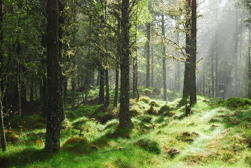 8 min by roadThings to doThe Great Glen WayA 79-mile way from Fort William to Inverness along the Caledonian Canal and Loch Ness, walked in stages.
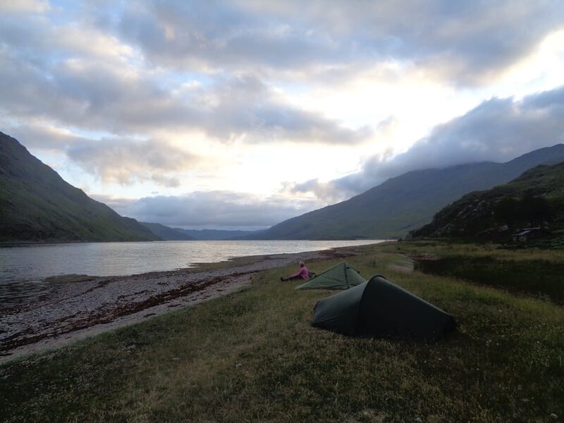 8 min by roadThings to doNorth West Wilderness Weekend with Thistle TrekkingThe North West Wilderness Weekend gives you the chance to walk the first 4 days of the Cape Wrath Trail, from Fort William to Kinloch Hourn.
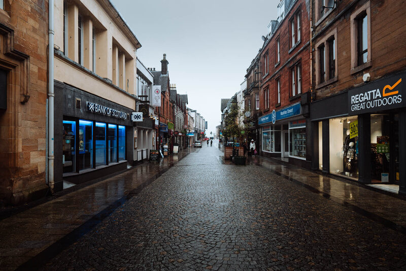 8 min by roadThings to doFort WilliamThe town under Ben Nevis at the head of Loch Linnhe, where the West Highland Way ends and the Jacobite leaves.
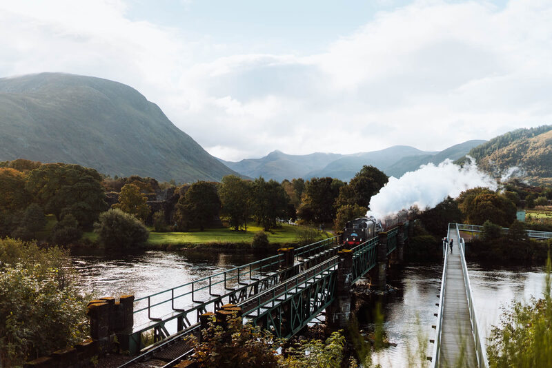 9 min by roadThings to doJacobite Steam TrainA steam train from Fort William to Mallaig and back, 84 miles over the Glenfinnan Viaduct, in summer.
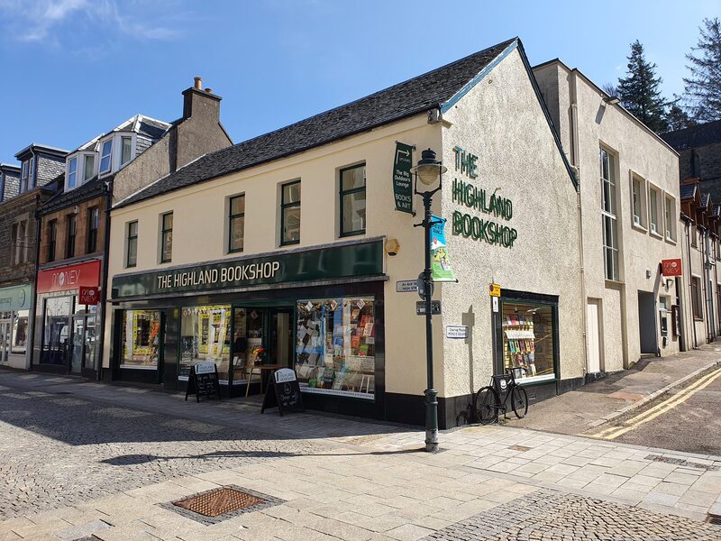 10 min by roadA shopHighland BookshopAn independent bookshop on Fort William's High Street, with new fiction and non-fiction, Scottish history and nature writing, events and a friendly welcome.
Places to stay near the walk
Our places to stay nearest the start, by road.
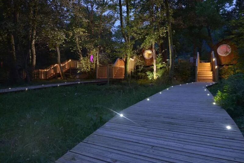
None of ours is close to the start. The nearest is RiverBeds at Woodlands Glencoe in Ballachulish, 19 miles from the start. Sleeps 2. An advert.
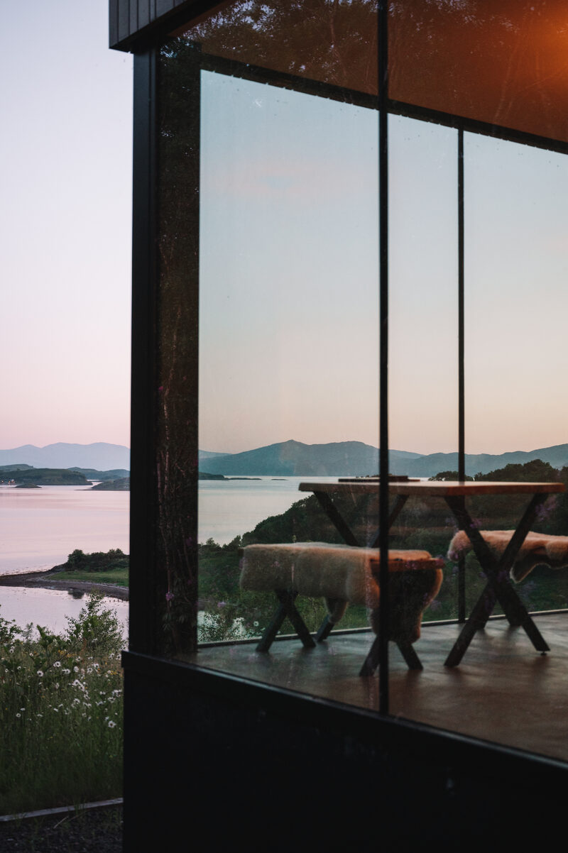
Then Stormhouse South in Appin, 31 miles from the start. Sleeps 2. An advert.
More walks near here
Within a short drive of the start.
Did this walk?
Tell the next person how it went. The best go on this page, with your name.
Find out more
For further reading, before you go.
- Sgurr a' Mhaim, the Munro page, Hidden Scotland↗
- The Ring of Steall from Glen Nevis, Steven Fallonstevenfallon.co.uk↗
- Scrambling, Mountaineering Scotlandmountaineering.scot↗
- The West Highlands forecast, Mountain Weather Information Servicemwis.org.uk↗
- Lochaber avalanche forecast, Scottish Avalanche Information Servicesais.gov.uk↗
- Lochaber Mountain Rescue Teamlochabermrt.co.uk↗
- Calling for help, Mountaineering Scotlandmountaineering.scot↗
Photograph by Marta Pozaroszczyk via Google
Maps from OpenFreeMap © OpenMapTiles, data © OpenStreetMap contributors; heights from Mapzen's terrain tiles.