
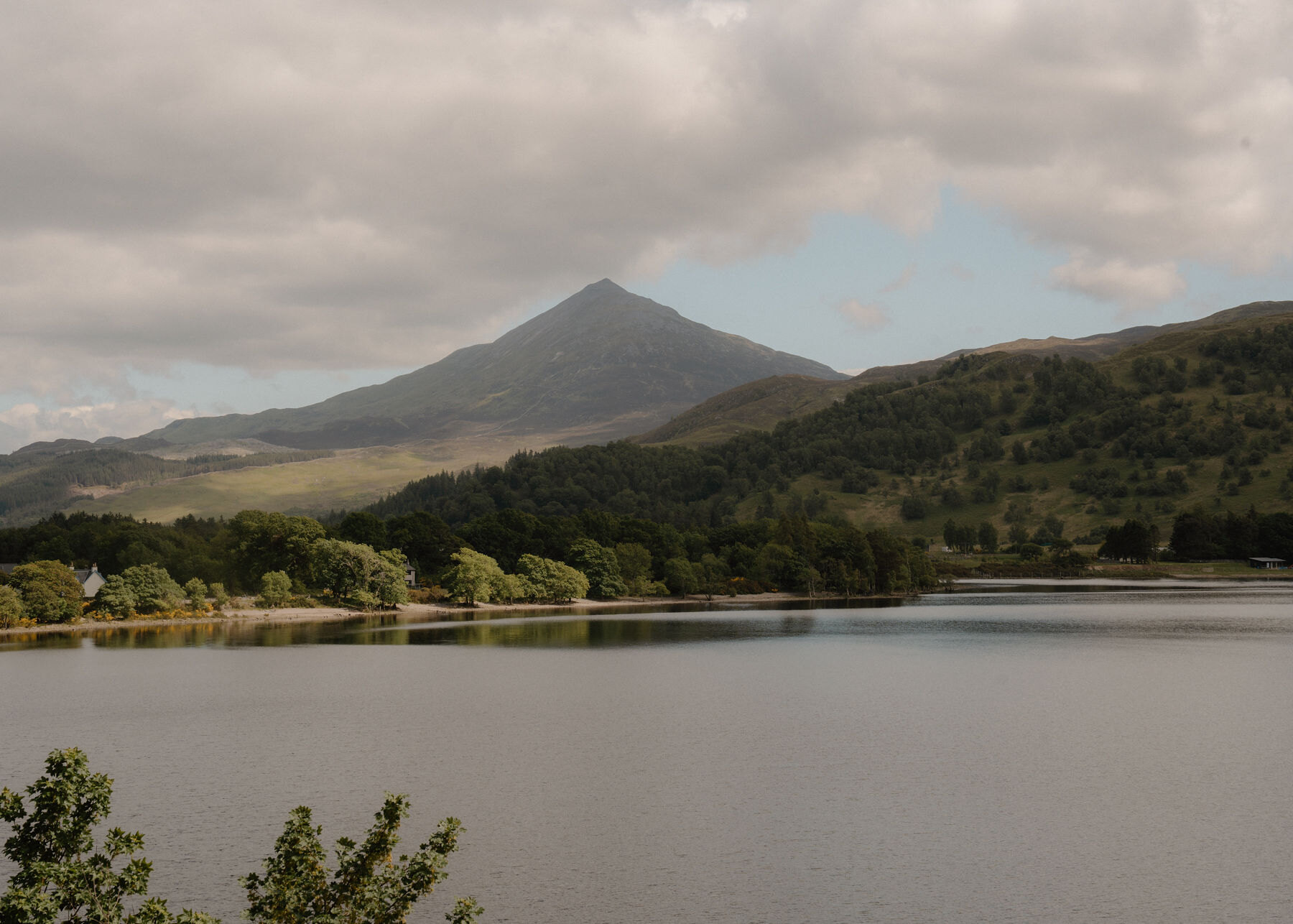
Schiehallion – The Built Path and the Boulder Ridge
6½ miles · a hill · there and back
paid parking
The most popular way up Schiehallion, the fairy hill of the Caledonians, starts at the Braes of Foss, a forest car park on the minor road that runs west from the B846 between Aberfeldy and Tummel Bridge towards Kinloch Rannoch.
The John Muir Trust's built path climbs from the east as far as the rocky summit ridge, and the last stretch is a walk over rocks and boulders to the top, 1,083 metres up. Forestry and Land Scotland calls it a 6¼ mile trip there and back, and says to allow at least 5 hours. There are no waymarkers on the hill, so it is a day for walkers who can find their way with a map and compass, in good weather.
Where it starts
Forestry and Land Scotland's Braes of Foss car park, on the south side of the minor road between the B846 and Kinloch Rannoch: £3 for all day, £10 for a minibus or coach, by coins, card or RingGo; Blue Badge holders free with the badge on show.
Is it for me?
Tap who is coming, or the day you have, for the answer on this walk.
Before you go
Getting there
There is an overflow car park 600 metres east. More than 20,000 people a year climb the hill and the car park fills: have a plan B. From the B846 between Aberfeldy and Tummel Bridge, 2½ miles west along the road signposted for Schiehallion; from Kinloch Rannoch, 6½ miles south-east. PH16 5NN is the nearest postcode; the council's grid reference for the car park is NN 7529 5577. Start early enough to be down in daylight.
On the path
About 5 to 6 hours there and back: about 10.6 km (6½ miles) and 750 metres of climb by our map, from the Braes of Foss car park to the summit and back the same way. Forestry and Land Scotland calls it a 6¼ mile trip and says to allow at least 5 hours. A built mountain path, not waymarked, for about 3 km as far as the rocky summit ridge; then roughly 1.5 km over rocks and boulders to the top, which the John Muir Trust's map calls an undefined rocky route. A Munro of 1,083 metres and at least 5 hours, with a long boulder field at the top: for older children used to hill days, with an adult who can navigate. The map to carry is OS Explorer OL49, Pitlochry & Loch Tummel (1:25,000); OS Landranger 51, Loch Tay & Glen Dochart (1:50,000) shows the country round it.
Good to know
All year in daylight, on a clear day with a good forecast. Forestry and Land Scotland and the John Muir Trust name no dog rule for the hill and ask visitors to follow the Scottish Outdoor Access Code. Black grouse, ptarmigan and mountain hare live on it, and the top is a boulder field, so a dog that copes with rough rock and stays close does best. Toilets at the Braes of Foss car park, Forestry and Land Scotland lists; none on the hill. No opening times are published. Under snow it is a winter mountain, and no avalanche forecast covers Schiehallion (the Scottish Avalanche Information Service forecasts six other areas).
The walk
Schiehallion's main way up is a trip of 6¼ miles, about 10 km, there and back from the Braes of Foss: Forestry and Land Scotland says to allow at least 5 hours. A built path climbs from the east to the rocky summit ridge, and the last stretch is rocks and boulders to the top, 1,083 metres up. The walk starts at Forestry and Land Scotland's car park at the Braes of Foss, on the south side of the minor road between the B846 and Kinloch Rannoch. From the B846 between Aberfeldy and Tummel Bridge it is 2½ miles west along the road signposted for Schiehallion; from Kinloch Rannoch, 6½ miles south-east. For a satnav, PH16 5NN is the nearest postcode, and Perth & Kinross Council gives the car park as grid reference NN 7529 5577. Parking is £3 for the day, paid by coins, card or the RingGo app, and free for Blue Badge holders with the badge on show. More than 20,000 people a year make for the summit, the John Muir Trust says, and the car park fills. The overflow car park is 600 metres east, and on a fine weekend it is worth having a plan B. By the entrance stands a memorial to the Reverend Nevil Maskelyne, who used the hill in the 18th century in his experiment to weigh the world.
Before you set off, Forestry and Land Scotland asks for good walking boots, warm and waterproof clothing, food and drink, a torch in case the day runs long, and a look at the weather forecast. After the car park there are no waymarkers on the hill at all, the John Muir Trust says: come prepared to navigate safely. Carry a map and compass and know how to use them, and do not rely only on a phone or GPS, because if the battery fails you still need to know where you are. Leave word with someone of where you are going and when you will be back.
A footway leads south from the car park over two footbridges, and a few hundred metres on, the hill path leaves the lower paths and climbs onto the open moor. The John Muir Trust has owned the east side of Schiehallion since 1999. It moved the main path onto a new line after it took over, and keeps it up, to stop erosion harming the limestone ground and the plants around it. The path is not waymarked, but Forestry and Land Scotland calls it clear to follow. It climbs west as far as the rocky summit ridge, with stone seats and a viewpoint about halfway, Perth & Kinross Council says.
The built path ends where the rocky summit ridge begins, and from there it is a walk across rocks and boulders to the top. Forestry and Land Scotland calls these final sections rough and rocky, and the John Muir Trust's own map marks the stretch as an undefined rocky route, not a path. There is no made line to follow and nothing to mark the way, so in cloud the ridge gives little help. This is where a map and compass, and the skill to use them, count most.
The end of the built path is also the place to decide. Conditions on the hill are often much colder and windier than at the car park, even on a clear summer day. If the cloud is coming down, the wind is rising or anyone is tiring, turn back: Forestry and Land Scotland asks walkers to turn back if they get tired, or if anything looks unsafe. Under snow there is no avalanche forecast for Schiehallion. The Scottish Avalanche Information Service forecasts six other areas, from Lochaber and Glencoe to the Cairngorms and Torridon, and that is no sign there is no risk here.
The summit is 1,083 metres, or 3,553 feet, the council says. On a clear day the John Muir Trust names the view: across Loch Rannoch and the wilds of Rannoch Moor to the hills of the central Highlands, as far as Glencoe and Ben Nevis. The name comes from Gaelic words meaning the fairy hill of the Caledonians, Forestry and Land Scotland says, and in winter the Trust says to look out for ptarmigan in their white coats on the snow.
The way down is the way you came, back along the boulders with care to the start of the built path, and down it to the Braes of Foss. Forestry and Land Scotland makes the whole trip 6¼ miles and says to allow at least 5 hours, so leave plenty of daylight for it.
If it rains
In rain, low cloud or a high wind, leave the summit for another day: the boulder field has no made line to follow, and the John Muir Trust's Foss Loop, a 1.5 km path and boardwalk, starts from the same car park.
After the walk
Coffee and cake, something to do with the rest of the day, and dinner, nearest the end of the walk first.
Straight after
 17 min by roadA caféAberfeldy Watermill Bookshop & CafeA bookshop, cafe, design shop and art gallery in a restored oatmeal mill of 1825 on Mill Street in Aberfeldy, UK Independent Bookshop of the Year in 2009.
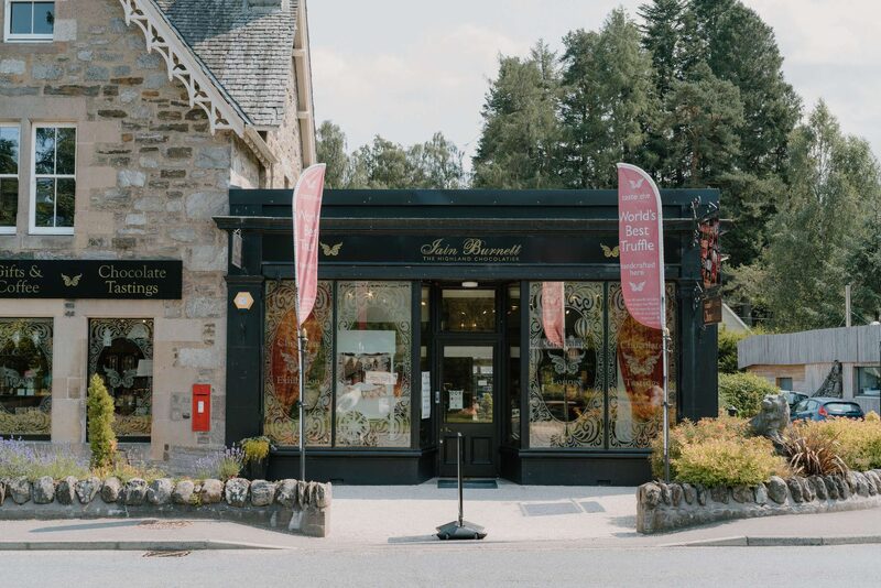 22 min by roadA caféIain Burnett Highland ChocolatierIain Burnett's chocolate shop and lounge in Grandtully, the home of his Velvet Truffles, made with rare cocoas and fresh Scottish cream, with tasting flights.
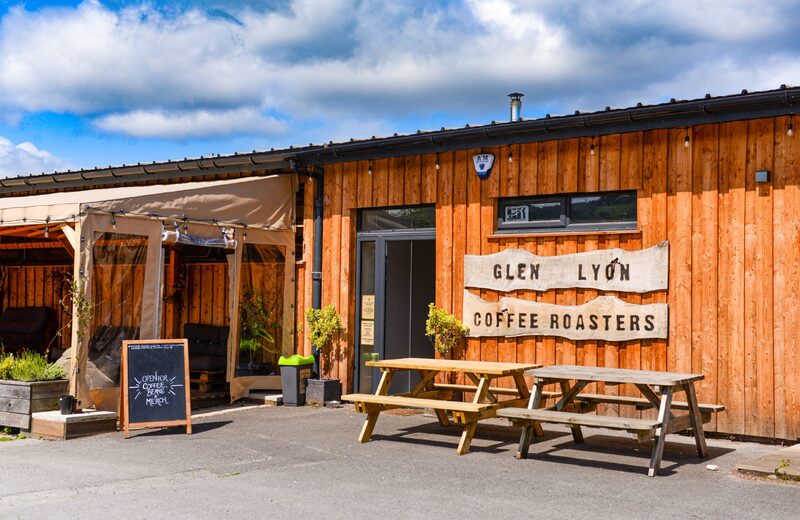 18 min by roadA caféGlen Lyon Coffee Roastery and CafeA B Corp speciality coffee roaster on the edge of Aberfeldy, with a cafe at the roastery where the beans are roasted, brewed and sold.
With the rest of the day
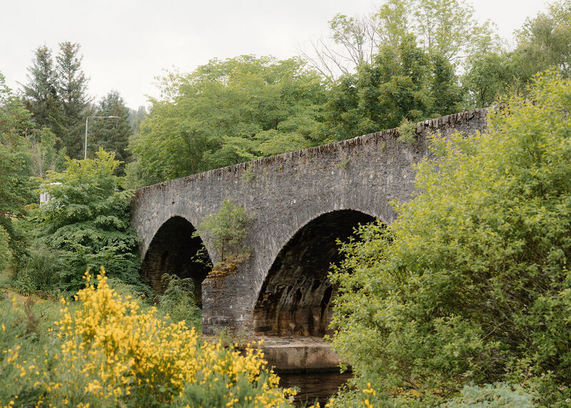 10 min by roadThings to doKinloch RannochA Highland village at the east end of Loch Rannoch, settled after 1745 by discharged soldiers under the Forfeited Estates, below the crag of Craig Varr.
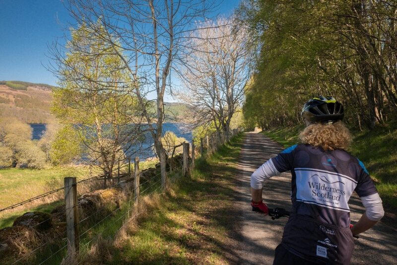 9 min by roadThings to doLoch TummelAn eleven-kilometre loch between Pitlochry and Tummel Bridge, with roads on both shores and Queen's View looking west along it to Schiehallion.
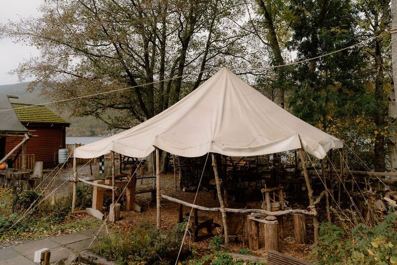 13 min by roadThings to doThe Scottish Crannog CentreA living museum of the Iron Age on the north shore of Loch Tay at Dalerb, with a rebuilt crannog, roundhouses and ancient crafts shown by hand.
For dinner
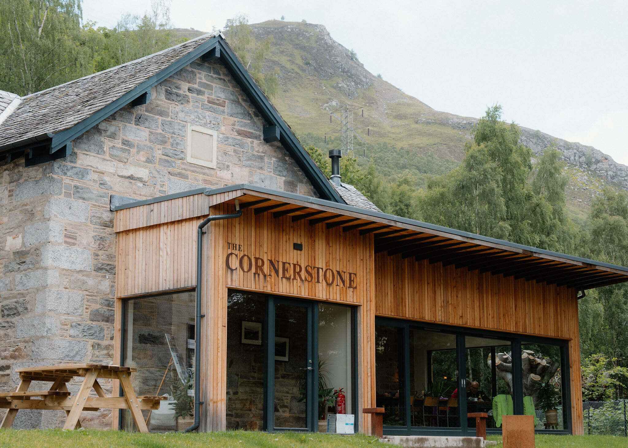
The Cornerstone in Kinloch Rannoch, 9 minutes by road. Kinloch Rannoch's community-owned bar and restaurant, in stone and timber by the Allt Mor waterfall, with local food and four rooms to eat in.
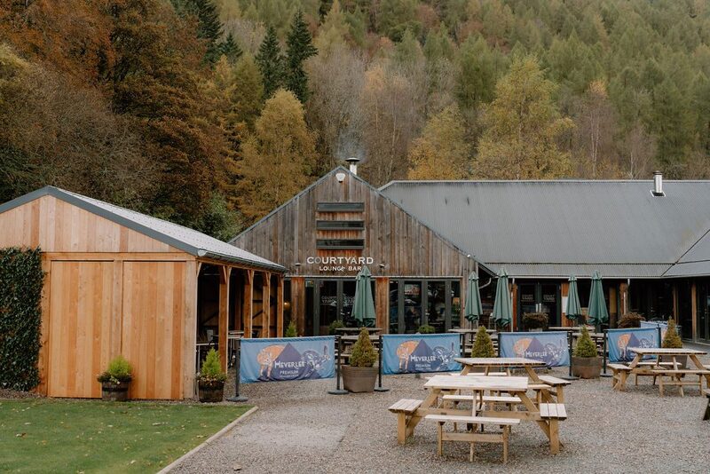
The Courtyard Brasserie & Bar in Kenmore, 12 minutes by road. A bar and brasserie in the courtyard of the Mains of Taymouth estate at Kenmore, open every day, with local food, a fire indoors and a big sunny terrace.
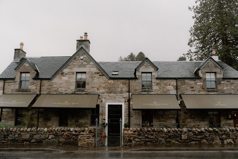
Grandtully Hotel in Strathtay, 22 minutes by road. A small hotel and restaurant by Ballintaggart in the village of Grandtully on the Tay, with eight rooms and seasonal Scottish cooking in the Michelin Guide.
Places to stay near the walk
Our places to stay nearest the start, by road.
An advert
West Tempar Bothy
A restored farmyard bothy for two at the foot of Schiehallion, two miles from Kinloch Rannoch, with age-smoked panelling, a wood-burning stove and a king bed up a ladder.
Sleeps 2 · 6 minutes by road
See West Tempar Bothy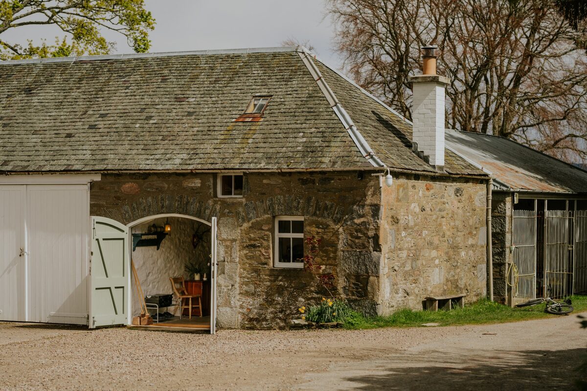
More places to stay near the walk
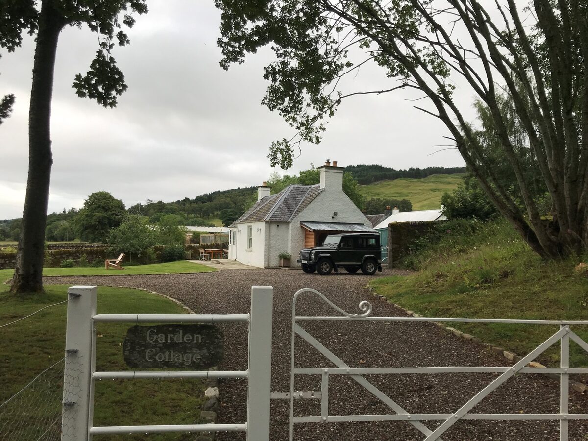 An advertGarden CottageSleeps 2 · 6 minutes by road
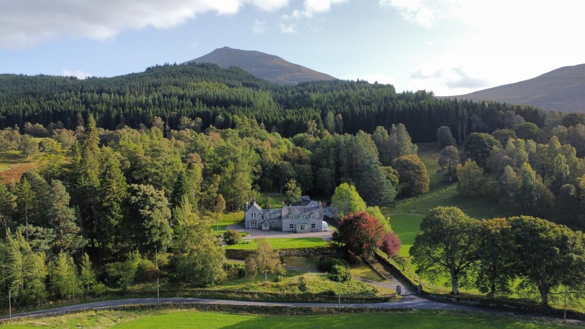 An advertLassintullich HouseSleeps 16 · 6 minutes by road
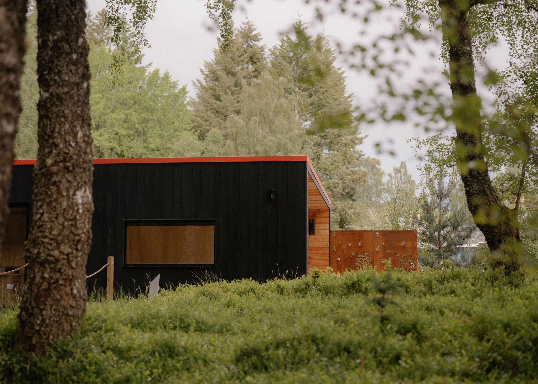 An advert · Kinloch RannochKin at Redhill RetreatSleeps 2 · 12 minutes by road
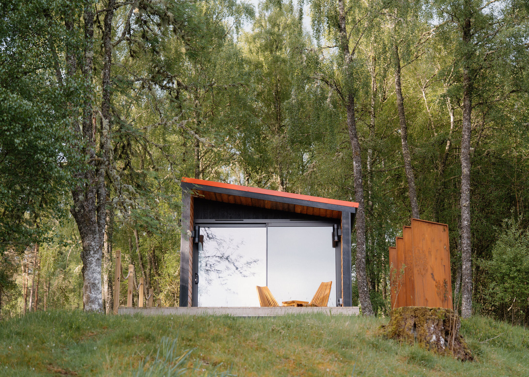 An advert · Kinloch RannochLoch at Redhill RetreatSleeps 2 · 12 minutes by road
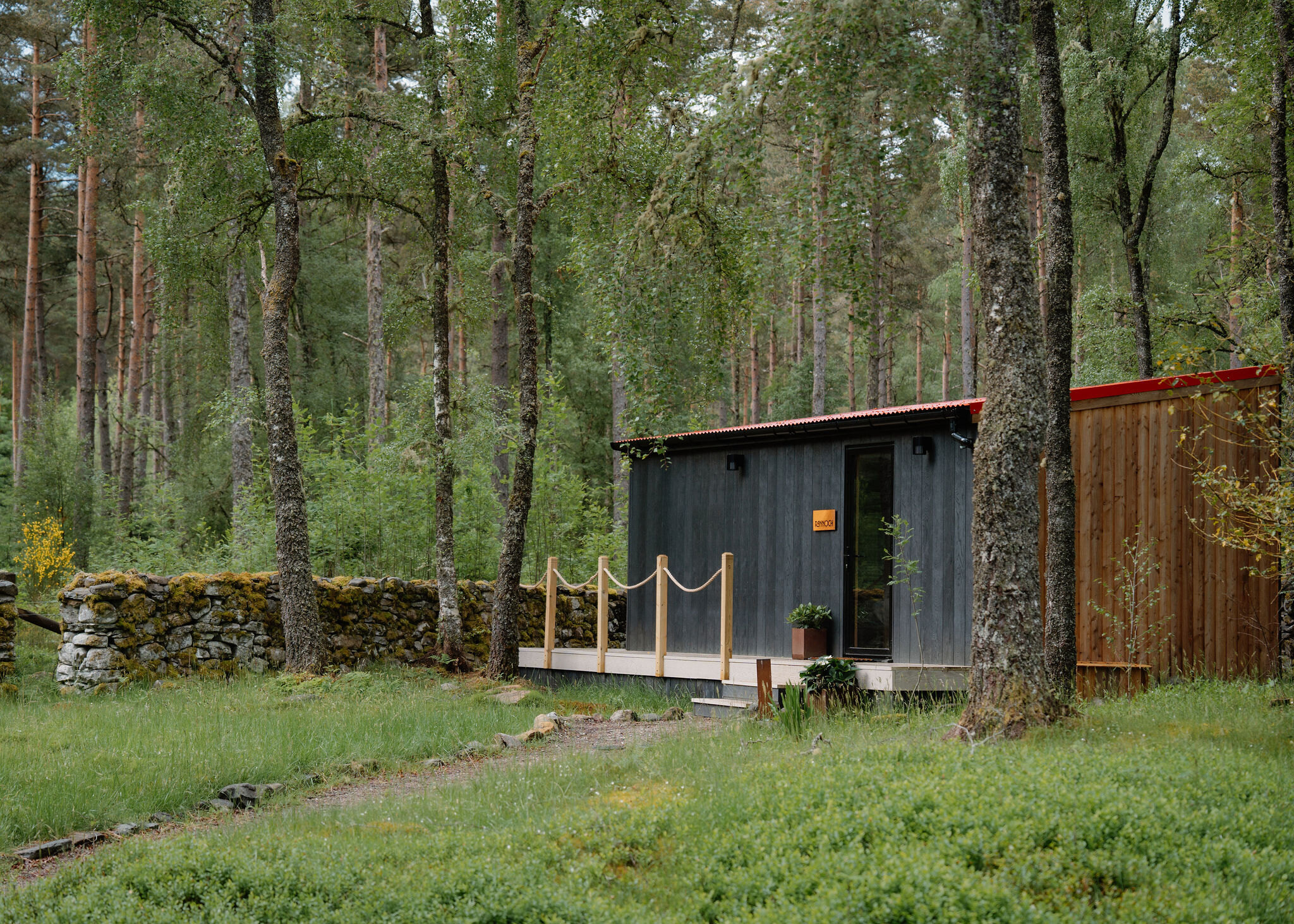 An advert · Kinloch RannochRannoch at Redhill RetreatSleeps 2 · 12 minutes by road
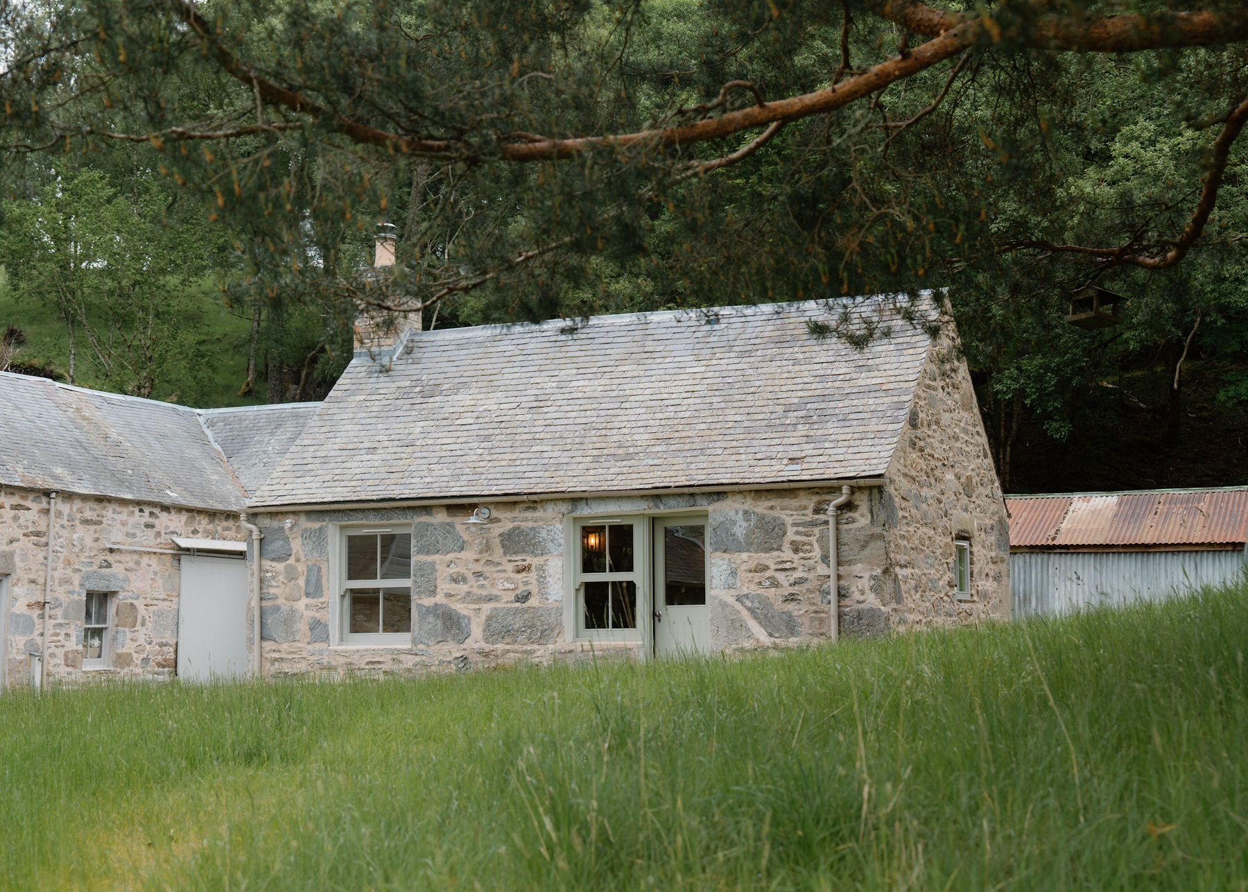 Somewhere to stayLassintullich BothySleeps 2 · 6 minutes by road
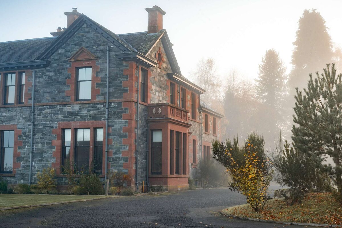 AberfeldyThe House at Dun AluinnSleeps 18 · 19 minutes by road
More walks near here
Within a short drive of the start.
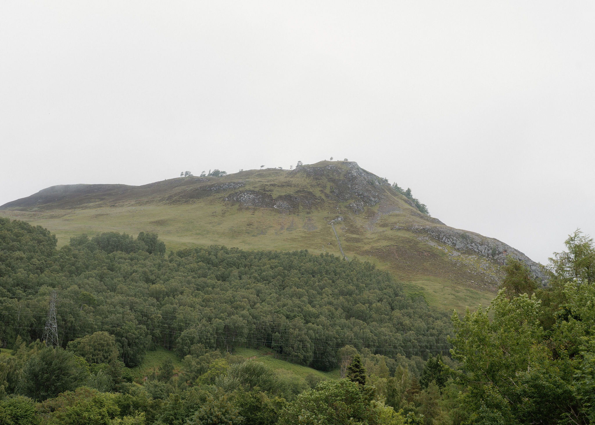 9 min by roadA hillCraig Varr2¾ miles, 2 to 3 hours
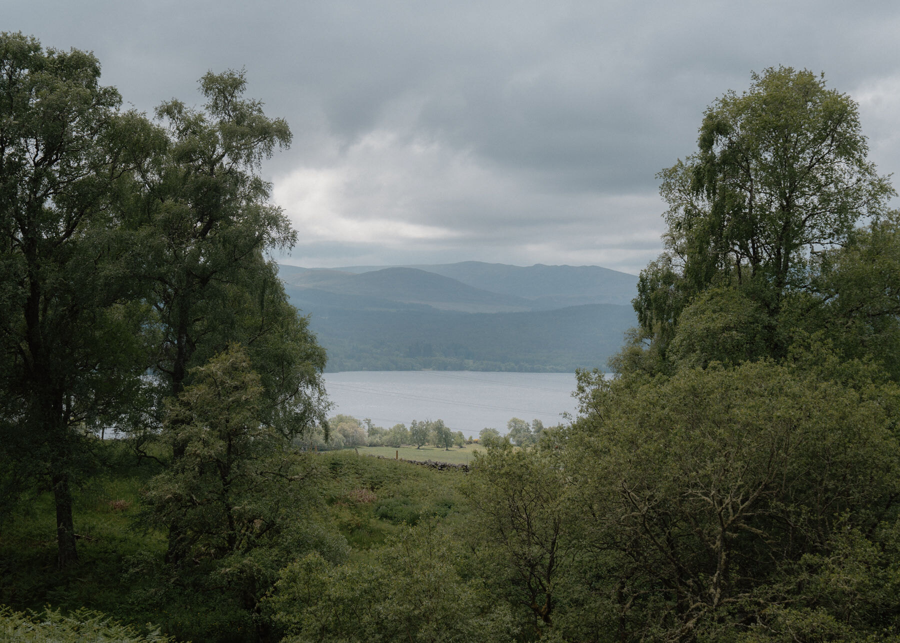 12 min by roadA long dayAnnat6½ miles, about four hours
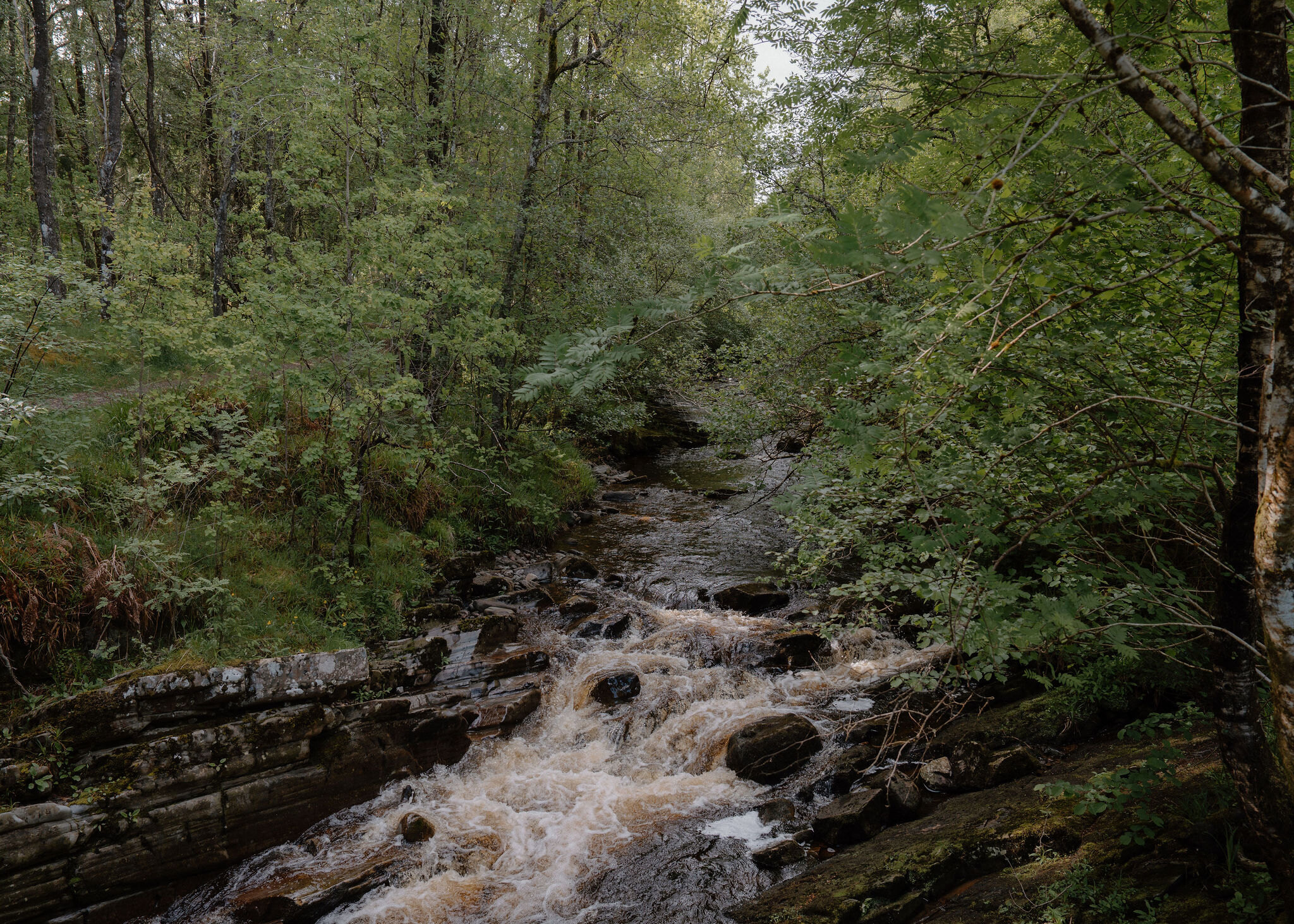 12 min by roadA long dayCarie5 miles, about 3½ hours
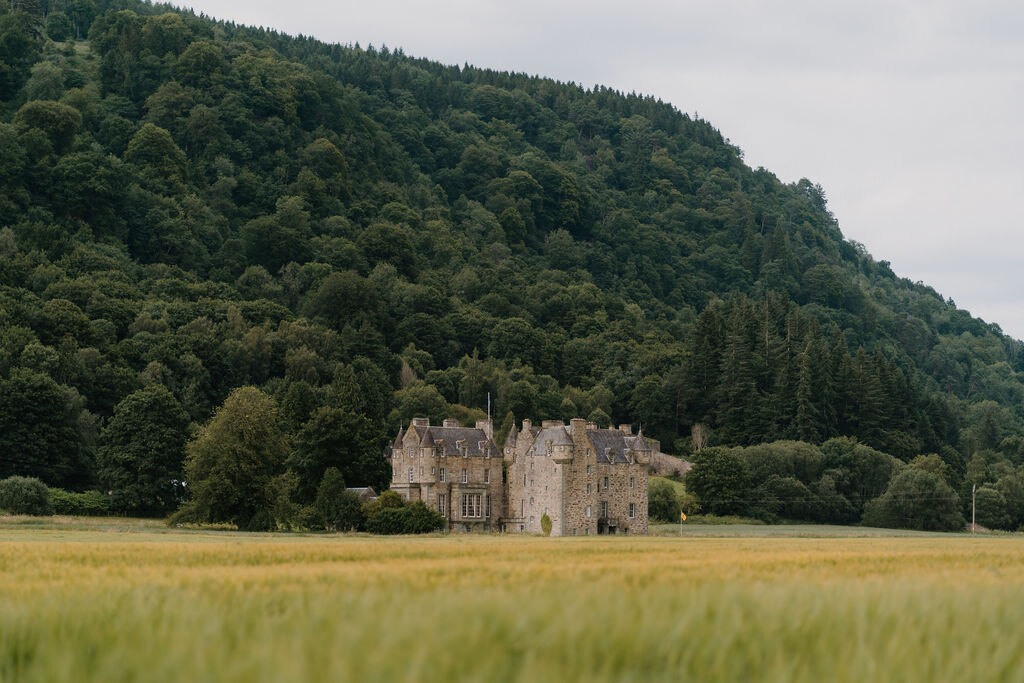 13 min by roadA walkWeem WoodA mile, about an hour
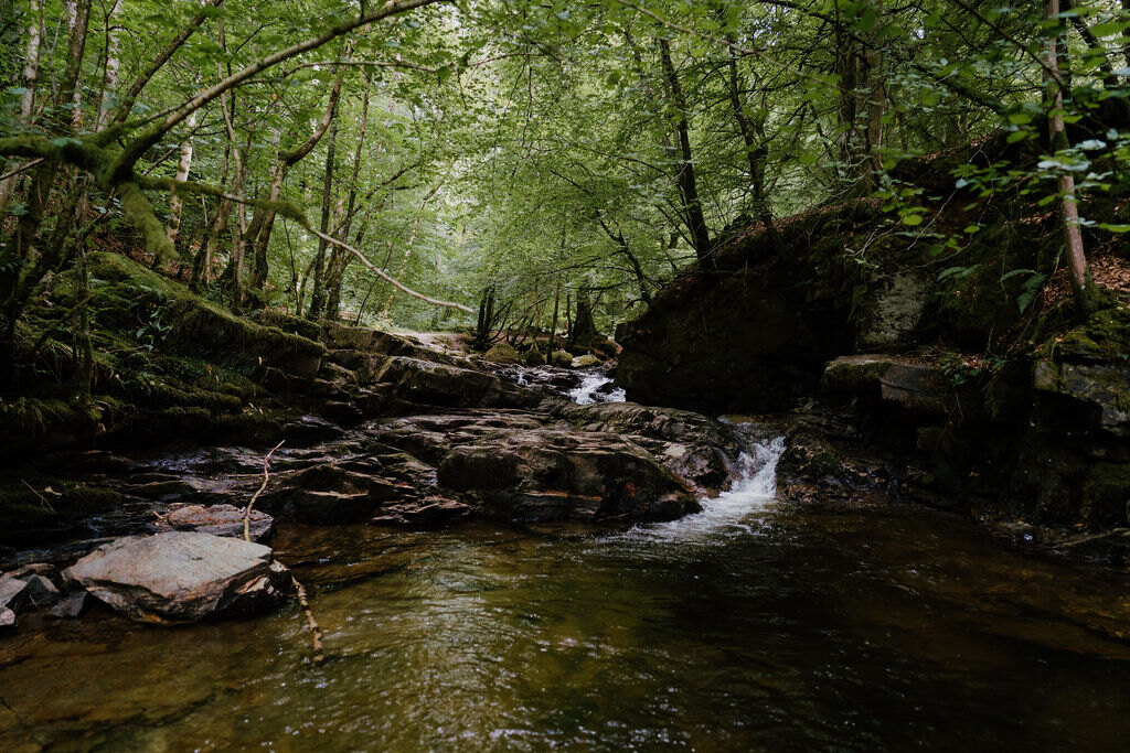 17 min by roadA walkThe Birks of Aberfeldy2¼ miles, about three hours
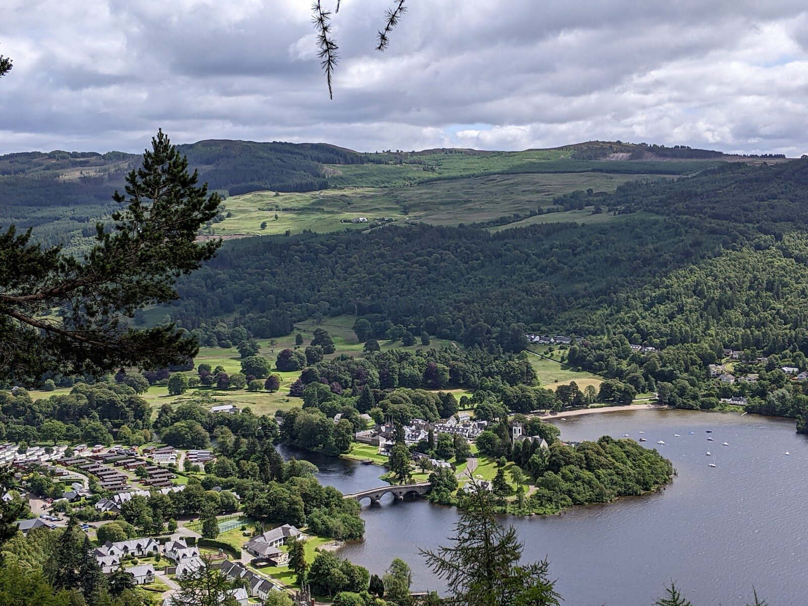 11 min by roadA walkDrummond Hill2¾ miles, about three and a half hours
Did this walk?
Tell the next person how it went. The best go on this page, with your name.
For further reading, before you go.
- Braes of Foss, the Schiehallion hillwalk, Forestry and Land Scotlandforestryandland.gov.scot↗
- Braes of Foss, getting there and parking, Forestry and Land Scotlandforestryandland.gov.scot↗
- Braes of Foss, alerts and visitor updates, Forestry and Land Scotlandforestryandland.gov.scot↗
- Mountain access and safe hillwalking, Forestry and Land Scotlandforestryandland.gov.scot↗
- East Schiehallion near Kinloch Rannoch, Perth & Kinross Councilpkc.gov.uk↗
- East Schiehallion, John Muir Trustjohnmuirtrust.org↗
- Exploring East Schiehallion, the map leaflet (PDF), John Muir Trustjohnmuirtrust.org↗
- Avalanche forecasts, Scottish Avalanche Information Servicesais.gov.uk↗
Maps from OpenFreeMap © OpenMapTiles, data © OpenStreetMap contributors; heights from Mapzen's terrain tiles.