
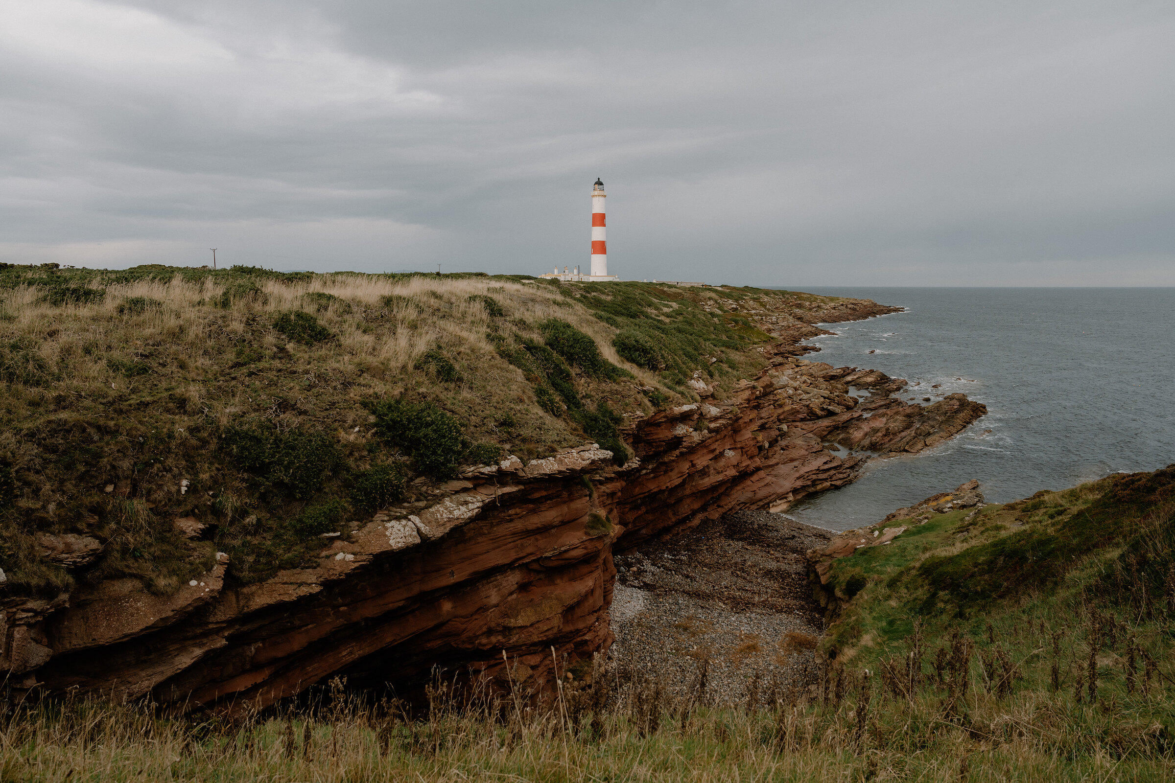
Tarbat Ness – A Red-Banded Lighthouse on a Sandstone Point
8½ miles · 3¾ to 4½ hours · a loop
dogs on a lead · toilets
Tarbat Ness is the long, low point where the Dornoch Firth meets the Moray Firth, and at the end of it stands the tallest lighthouse on the Scottish mainland, white with two red bands.
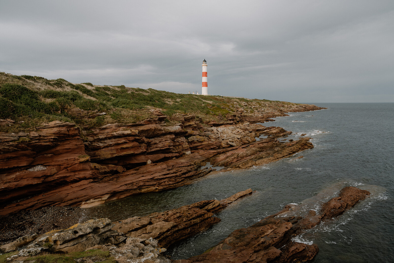
You can walk round the headland from the harbour village of Portmahomack, out to it along one shore and back by the other, or drive to the car park near the tower and stroll round the point. Either way there are red sandstone cliffs, rock pools and a very big sky.
Where it starts
Start at the middle car park by the beach in Portmahomack, with a voluntary donation box (Tarbat Community Council), and public toilets in the village, open daily all year; or the car park near the lighthouse at the end of the road, with its own donation box and no toilets, for a short stroll.
Is it for me?
Tap who is coming, or the day you have, for the answer on this walk.
Before you go
On the path
3¾ to 4½ hours by Go4awalk and Scotland Off the Beaten Track, and 4 hours 40 minutes by Walking Britain: the round of the headland from Portmahomack, out along the north shore to the lighthouse, home down the east shore past Ballone Castle to Rockfield and the last 2.7 km by the road; 13.5 to 14.6 km by the guides. From the car park near the lighthouse, a tarmac track of about 420 m to the tower. A coast walk. A path along the shore, faint in places, with gates and stiles, over grass, shingle and mud; the last 2.7 km by the road. From the car park near the lighthouse, a tarmac track of about 420 m to the tower. Cliff edges and a rocky shore: hold on to young children. The short stroll from the lighthouse car park suits all ages. The map to carry is OS Explorer 438, Dornoch & Tain (1:25,000); OS Landranger 21, Dornoch & Alness (1:50,000) shows the country round it.
Good to know
All year in daylight. From November to January set off from Portmahomack by 10am: the round takes 3¾ hours to 4 hours 40 minutes by the guides, and the sun sets between 3.28pm and 4pm. Dogs on a lead: cattle and sheep graze parts of the shore. Let go of the lead if cattle threaten you (the Outdoor Access Code), and keep out of fields with cows and calves (Highland Birds). Public toilets in Portmahomack, open daily all year (Highland Birds); none at the lighthouse. The lighthouse is a working light and is not open to visitors. The Tarbat Discovery Centre in Portmahomack is open until 31 October 2026, then by appointment from November to February.
The walk
Park in the middle car park by the beach at Portmahomack, where Tarbat Community Council keeps a voluntary donation box. The public toilets in the village are open daily all year. The lighthouse is at the tip of the peninsula, to the north-east. The walk is the round of the headland, as the village's own walks page and the published guides describe it: out along the north shore to the lighthouse, about 5 km, then back down the east shore past Ballone Castle to Rockfield, and the last 2.7 km by the road over to the village. The round is 13.5 km by Go4awalk and 14.6 km by Walking Britain. The guides give it 3¾ hours (Go4awalk), 4 to 4½ hours (Scotland Off the Beaten Track) and 4 hours 40 minutes (Walking Britain). From the gate at the end of the road a path follows the shore, faint in places, with gates and stiles.
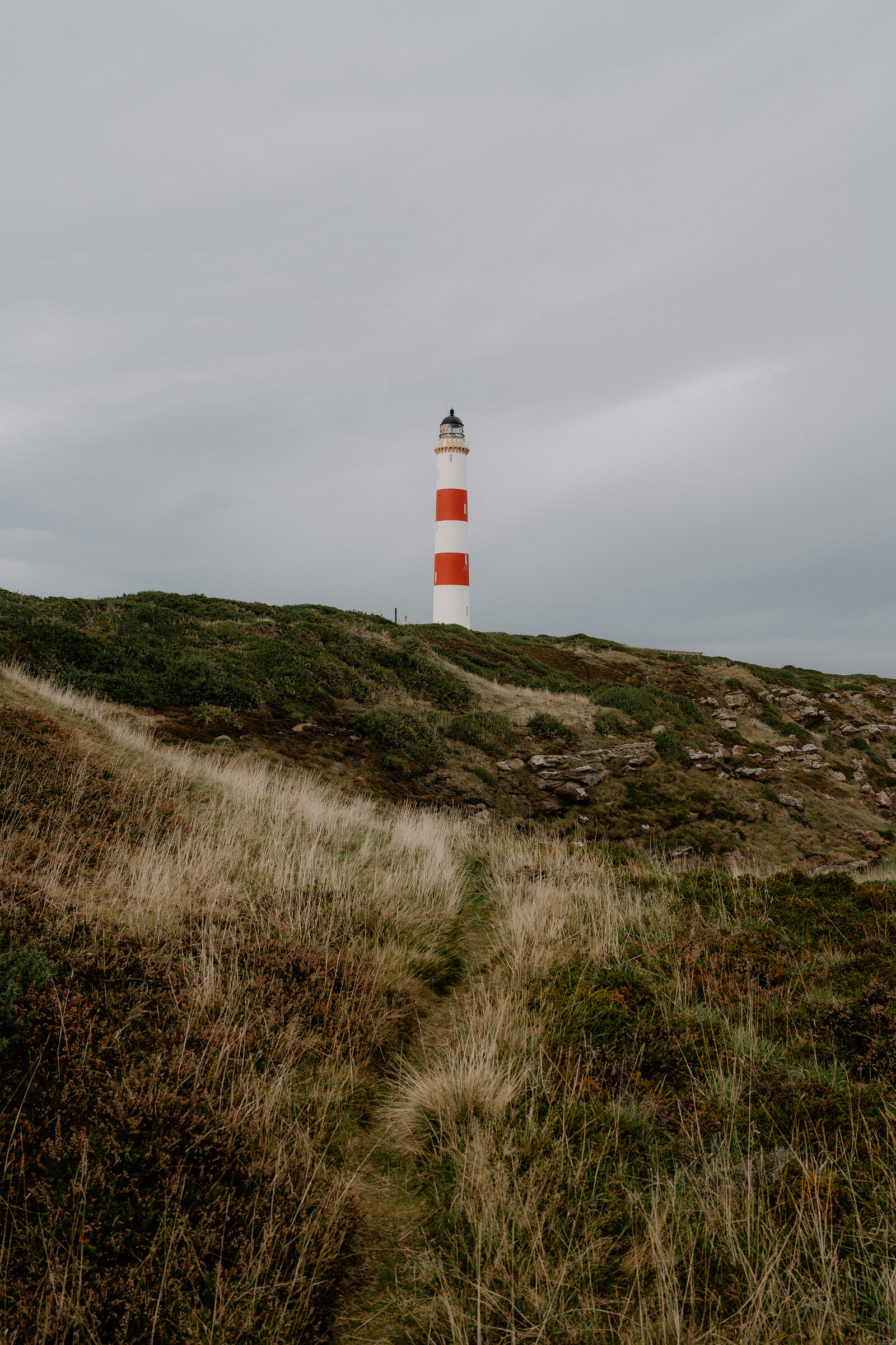
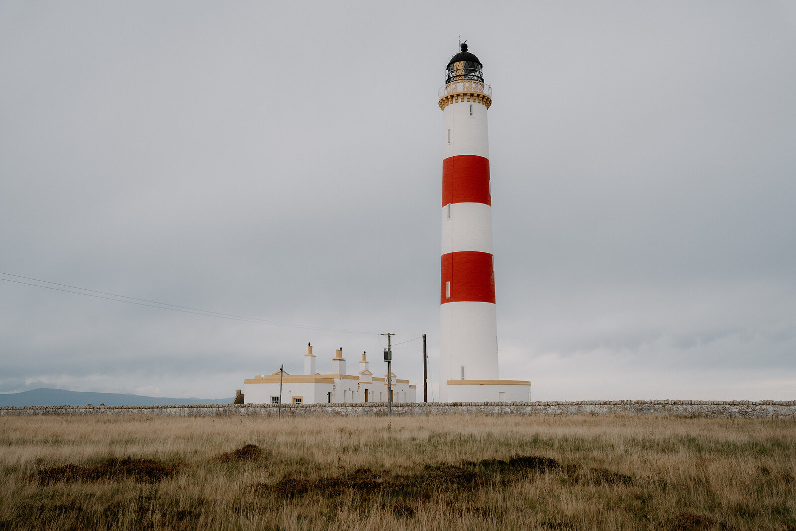
It is rough going over grass, shingle and mud, with cattle and sheep on parts of it. For a short walk, drive to the car park near the lighthouse instead, which has a donation box too but no toilets. From there a tarmac track of about 420 m leads to the tower, with the red sandstone shore of the point just beyond. The lighthouse was built in 1830 by Robert Stevenson, and its two red bands were added in 1915. At 41 metres it's the tallest lighthouse on the Scottish mainland, and the Northern Lighthouse Board puts it third in Scotland. It's still a working light, so you can't go inside. Seabirds, seals and dolphins are all seen from the point, so bring binoculars.
Keep dogs on a lead near the cattle and sheep, but let go of the lead if cattle threaten you, as the Outdoor Access Code says. Highland Birds advises keeping out of fields with cows and calves. Hold on to children near the cliff edges. Take a flask, as there's nowhere to buy a drink beyond the village. In Portmahomack, the Tarbat Discovery Centre in the old church is open until 31 October, Monday to Saturday from 10am to 4pm and Sunday from 1pm to 4pm. From November to February it opens by appointment on 01862 871351. From November to January, set off by 10am: the sun sets between 3.28pm and 4pm.
If it rains
There's no shelter on the point, and the shore path is slippery when wet, so keep the long walk for a dry day. In rain or a gale, drive to the car park near the lighthouse, take a short look and go back to the village.
After the walk
Coffee and cake, something to do with the rest of the day, and dinner, nearest the end of the walk first.
Straight after
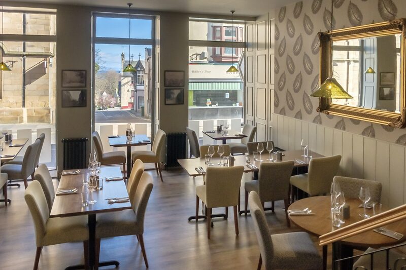 19 min by roadA restaurantGreens RestaurantA restaurant in London House on the High Street in Tain, cooking with local produce, with lunches, home baking and afternoon tea, and dinner at the end of the week.
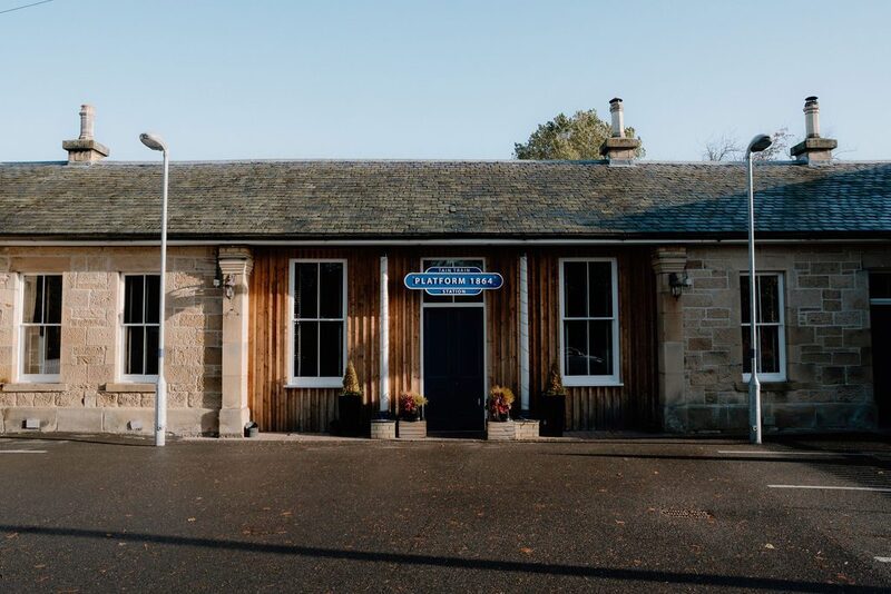 20 min by roadA restaurantPlatform 1864A restaurant and bar in the old railway station at Tain, still beside the platform, serving hearty food and local seafood from breakfast into the evening.
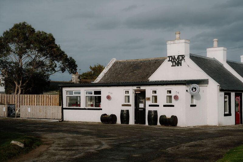 12 min by roadA restaurantInver InnThe Inver Inn is a bar and kitchen on the Easter Ross peninsula, known for its food and its whisky.
With the rest of the day
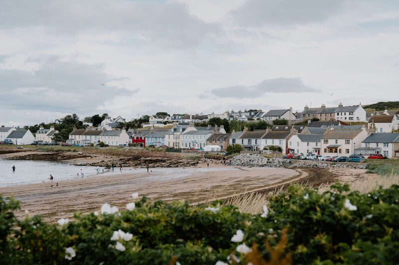 1 min by roadThings to doPortmahomackA pretty fishing village on the Tarbat peninsula, looking west across the Dornoch Firth, with a sandy bay, a small harbour and views to the Sutherland hills.
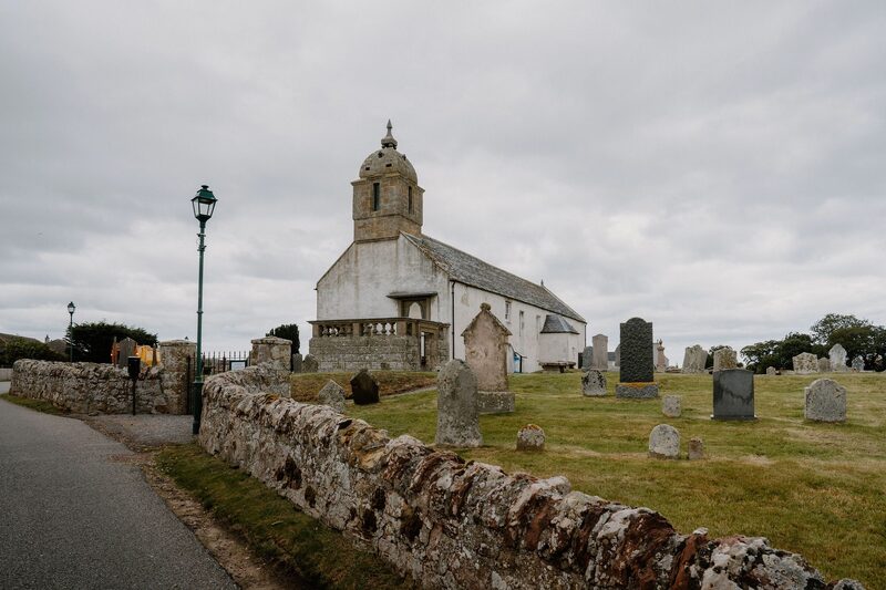 1 min by roadThings to doTarbat Discovery CentreA museum in the old church of St Colman at Portmahomack, on the site of a Pictish monastery, with carved stones and the tools of its 8th-century craftsmen.
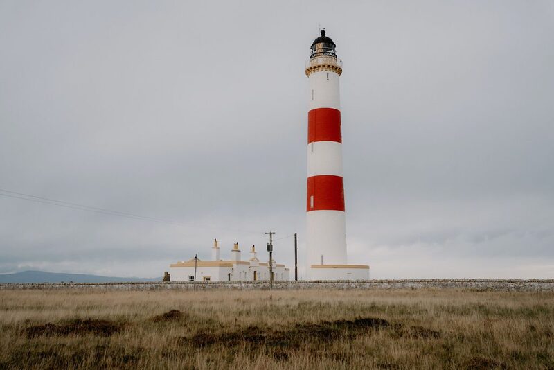 13 min by roadThings to doTarbat NessOn the tip of a rocky peninsula near the pretty fishing village of Portmahomack, this jaunty red and white striped lighthouse, the tallest on the Scottish mainland, was built by Robert Stevenson in 1830 after a violent storm in November 1826 caused 16 vessels to be wrecked in the Moray Firth
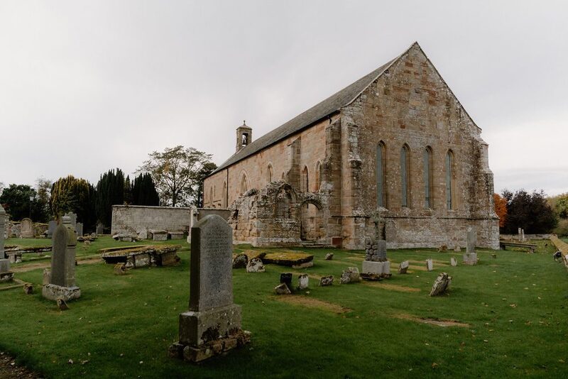 13 min by roadThings to doFearn AbbeyA medieval abbey church near Hill of Fearn, founded by the Earl of Ross in 1225 and still a parish church, with roofless aisles.
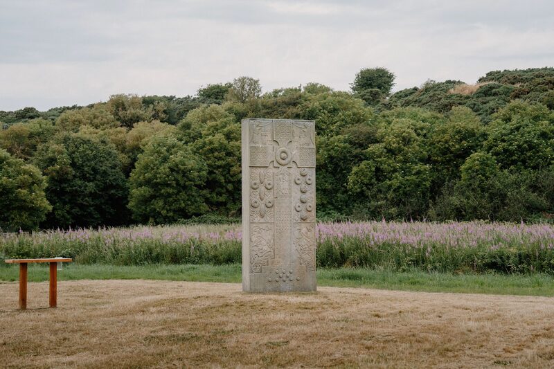 14 min by roadThings to doHilton of Cadboll StoneA full-size replica of one of the great Pictish cross-slabs, standing where the original stood by a medieval chapel above the sea at Hilton of Cadboll.
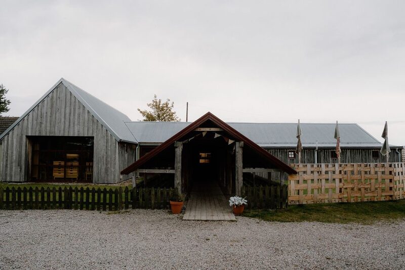 14 min by roadA shopAntaThe Highland home of Anta, maker of hand-painted stoneware, tartan textiles and carpets, with a shop at its factory near Fearn on the Tarbat peninsula.
For dinner
Greens Restaurant in Tain, 19 minutes by road. A restaurant in London House on the High Street in Tain, cooking with local produce, with lunches, home baking and afternoon tea, and dinner at the end of the week.
Platform 1864 in Tain, 20 minutes by road. A restaurant and bar in the old railway station at Tain, still beside the platform, serving hearty food and local seafood from breakfast into the evening.
Places to stay near the walk
Our places to stay nearest the start, by road.
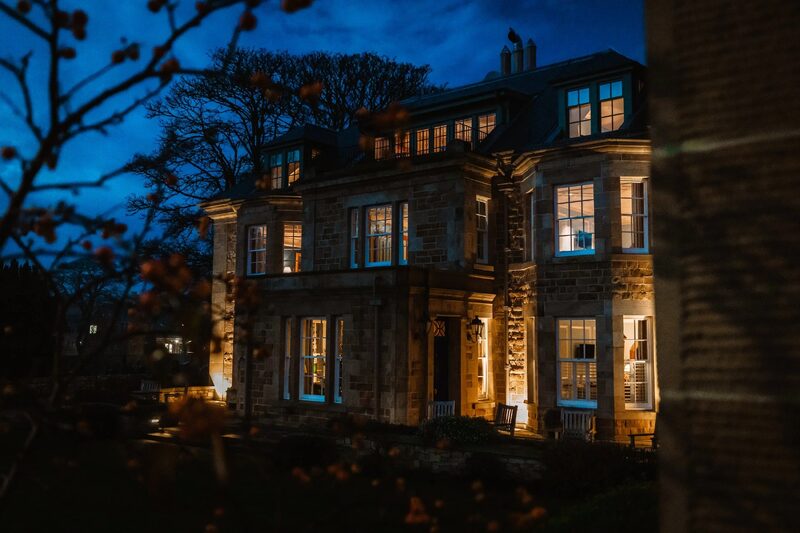
None of ours is close to the start. The nearest is Links House at Royal Dornoch in Dornoch, 19 miles from the start. An advert.
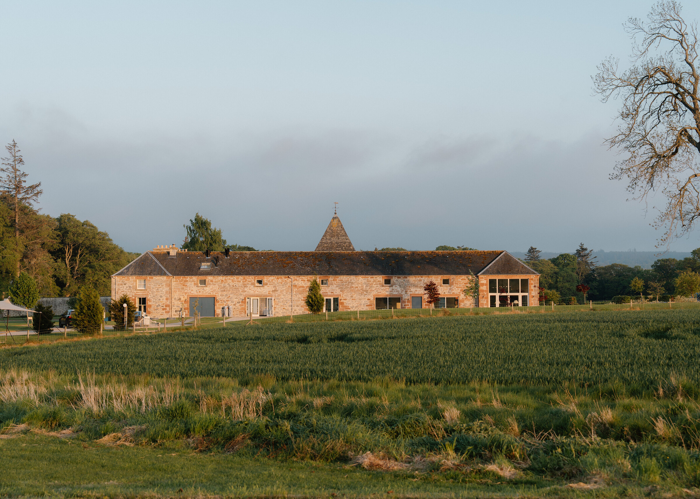
Then Newhall Mains in Balblair, 37 miles from the start. An advert.
Did this walk?
Tell the next person how it went. The best go on this page, with your name.
For further reading, before you go.
- Tarbat Ness lighthouse, the Highland Historic Environment Recordher.highland.gov.uk↗
- The Tarbat Discovery Centre, Portmahomacktarbat-discovery.co.uk↗
- The route in detail, Walkhighlandswalkhighlands.co.uk↗
- The walk round Tarbat Ness, Walking Britainwalkingbritain.co.uk↗
- Walks from Portmahomack, the Portmahomack community siteportmahomack.org↗
Maps from OpenFreeMap © OpenMapTiles, data © OpenStreetMap contributors; heights from Mapzen's terrain tiles.