
Geal-charn – Over the Railway and Up the North-East Ridge
4½ miles · 3 to 4 hours · a hill · there and back
Geal-charn, 917 metres, is the most northerly of the four Munros on the west side of the Pass of Drumochter, between the A9 and Loch Ericht.
The usual way up starts at the Balsporran car park, crosses the Highland Main Line at a level crossing, and climbs a track and a boggy path up the north-east ridge. A broad, stony top leads to the summit, and the way back is the same. By our map it is about 7.3 km there and back with about 500 metres of climb, and it takes about 3 to 4 hours. The ground is gentle, but the railway needs care each time you cross it, and in mist the broad top needs a map and compass.
Where it starts
Start at the Balsporran car park, just off the A9 at the Pass of Drumochter south of Dalwhinnie, beside the track to Balsporran Cottages.
Is it for me?
Tap who is coming, or the day you have, for the answer on this walk.
Before you go
Getting there
Steven Fallon calls the parking ample; no source read gives a charge. Park in the Balsporran car park, on the hill's side of the A9, rather than in a lay-by from which you must cross that fast trunk road on foot. The walk crosses the Highland Main Line at the Balsporran level crossing: stop, look and listen, and check both ways. If a train is coming, do not cross. Cross quickly, never stop on the line, and close the gates behind you. Start early enough to be down in daylight.
On the path
About 3 to 4 hours there and back: about 7.3 km (4½ miles) and 500 metres of climb by our map, from the Balsporran car park over the level crossing and up the north-east ridge to the 917 metre summit and back the same way. A level crossing over the railway, a rough hill track with stepping stones over a burn, then a wet, peaty path up the north-east ridge and a broad, stony top. A short Munro, but it crosses a main railway line on the level, and its broad top is hard to find your way across in mist. For children used to hill days, kept close at the crossing, with an adult who can navigate. The map to carry is OS Landranger 42, Glen Garry & Loch Rannoch (1:50,000).
Good to know
All year in daylight, on a clear day with a good forecast. Keep dogs on a lead over the level crossing, as Network Rail asks; no source read sets a rule for dogs on the hill. None at the car park in any source read; the Dalwhinnie Service Station has 24-hour fuel and a toilet. Under snow it is a winter mountain, and no avalanche forecast covers the Drumochter hills. Deer stalking can take place at any time of year, busiest in the first three weeks of October, with hinds stalked from 21 October to 15 February: check before you go and follow any signs.
The walk
The usual way up Geal-charn starts at the Balsporran car park, beside the A9 at the Pass of Drumochter, and comes back the same way. By our map it is about 7.3 km (4½ miles) there and back, with about 500 metres of climb. Allow about 3 to 4 hours, more with stops, in poor weather or under snow. It crosses the Highland Main Line at the Balsporran level crossing, climbs a hill track and a boggy path up the north-east ridge, and crosses a broad, stony top to the summit, 917 metres up. Other ways go by the bealach between Geal-charn and A' Mharconaich, or round both hills: this walk keeps to the ridge that every guide read climbs.
The Balsporran car park lies just off the A9 south of Dalwhinnie, about 425 metres up, beside the track to Balsporran Cottages. Steven Fallon calls the parking ample. No source read gives a charge, an owner or toilets there: the Dalwhinnie Service Station has 24-hour fuel and a toilet. Walkers who start from the lay-bys cross the A9 on foot, on the level, Transport Scotland records: it is a fast trunk road, and the car park lies on the hill's side of it. Check Traffic Scotland for works and closed lay-bys at Drumochter before you travel.
Just past the cottages the walk crosses the Highland Main Line on the level, over two tracks. The Balsporran crossing is a private crossing that its users work themselves, with gates, on a line that carries passenger and freight trains. Network Rail's figures for it give a line speed of 80 miles an hour and name low sighting time as the key risk: a train can reach you sooner than you expect. At the gate, stop, look both ways and listen, and if a train is coming, do not cross. Never assume it is safe because a train has just passed: another may be coming from either direction, hidden from view, Network Rail warns. Cross quickly and never stop on the line, with children close and dogs on a lead, and in a group check for yourself. If fog or low cloud hides the line, use the crossing's telephone where there is one and do as the signaller says. Close and secure the gates behind you, as Network Rail asks of everyone.
Before you set off, check the mountain forecast: the Mountain Weather Information Service's Southeastern Highlands and Cairngorms forecasts both reach these hills, so read both. Conditions on the hills are often much colder and windier than down in the glen, Forestry and Land Scotland warns. Wear good walking boots and carry warm, waterproof clothing, plenty of food and drink, and a torch. Carry a map and compass and know how to use them, and do not rely only on a phone or GPS. Deer stalking can take place at any time of year, Mountaineering Scotland says: the first three weeks of October are the busiest, and hinds are stalked from 21 October to 15 February. Check before you go and follow any signs. Leave word with someone of where you are going and when you will be back.
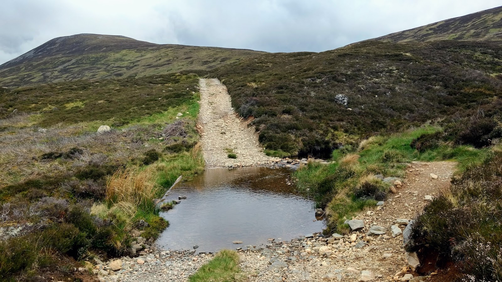
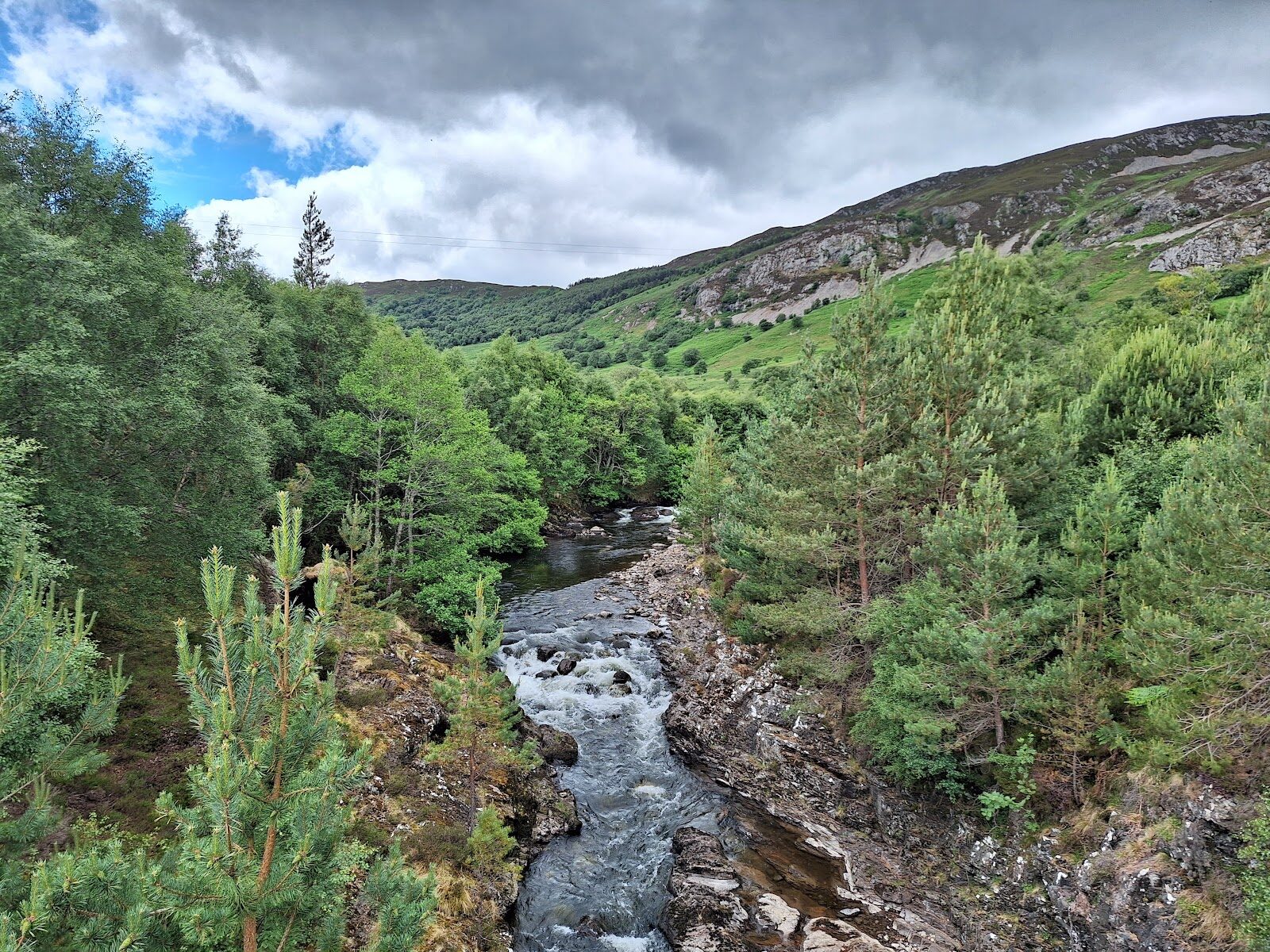
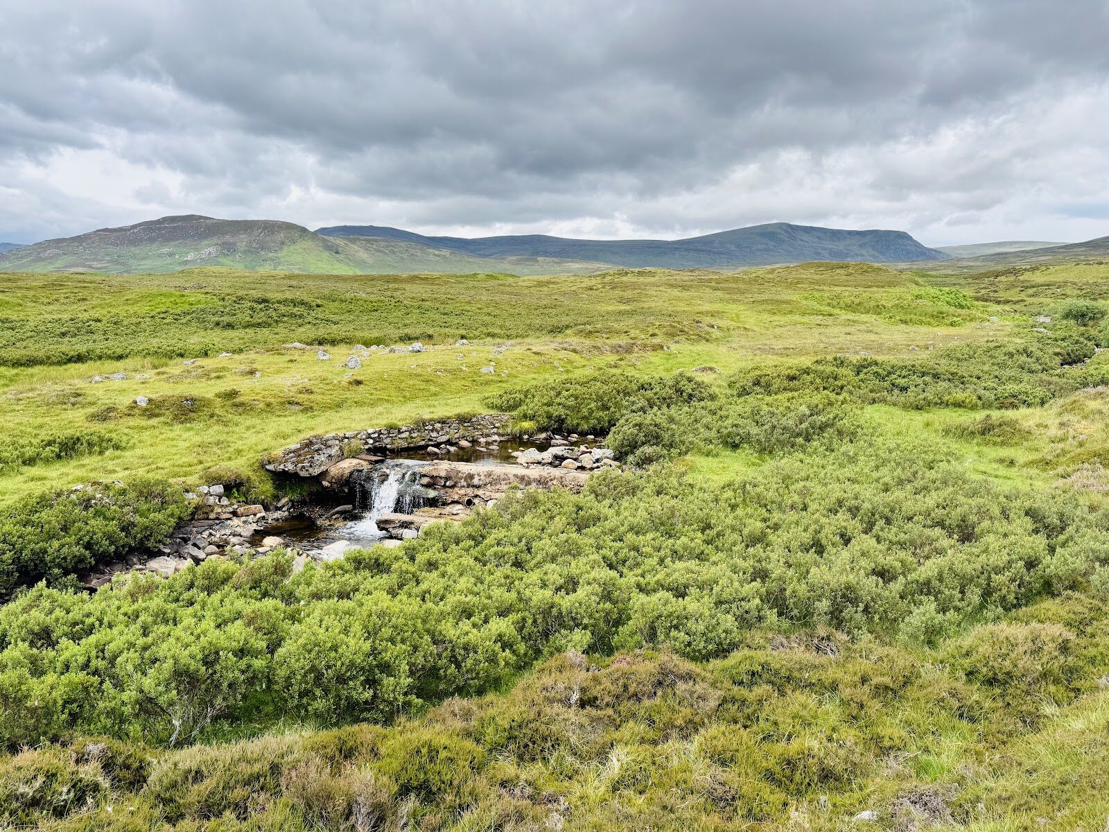
From the car park the track runs west over the River Truim and past the front of Balsporran Cottages to the level crossing. Beyond the railway it heads west beside the Allt Coire Fhar, over a burn by stepping stones and then over the Allt Beul an Sporain by a small bridge. The stepping stones are not a bridge: after heavy rain, if they are under water, do not cross. Just past the bridge the track forks, and the right-hand branch climbs the hillside. It soon gives out, and a path climbs the broad north-east ridge, beside the Allt Beul an Sporain at first. This is the boggy part of the day: the path is wet and peaty, and in places you pick a way round marshy ground. At about 840 metres the ridge levels out onto stones and gravel, where the remains of a group of cairns look down on the A9.
From there a path crosses the broad, stony top west-south-west, by our map about a kilometre, climbing gently to the summit. The top has two cairns, and the summit is 917 metres up: only five Munros are lower. The view runs west down Loch Ericht towards Ben Alder. A' Mharconaich, the nearest Munro, rises about two kilometres to the south-east, with Beinn Udlamain and Sgairneach Mhor beyond it to the south. This walk climbs none of them.
In mist this top is a hard place to find your way. It is broad and stony, much the same in every direction, and the group of cairns that once looked down on the A9 from its edge is mostly gone, Steven Fallon says. He warns that the wide, featureless tops of A' Mharconaich and Sgairneach Mhor next door make navigation testing in mist or a white-out, and this top is no different. Out on the hill there are no waymarks or signposts, Forestry and Land Scotland warns. Near the summit, paths lead south, down to the bealach with A' Mharconaich: they do not lead back to the car park. By our map the nearest mapped crags lie about a kilometre north-west of the summit, above the Loch Ericht side. Before you leave the summit, take a bearing east-north-east along the path you came by, and keep count of your time or paces. WalkScotland rates the walk for fit, reasonably experienced hillwalkers, and says that when the weather up here is bad it can be extremely miserable. If the cloud comes down, the wind rises or anyone is tiring, turn back by the way you came.
Under snow Geal-charn is a winter mountain, and the days are short. Then it needs winter skills, an ice axe and crampons that fit a rigid boot: micro spikes are not made for steeper ground where a slip could lead to a fall, Mountaineering Scotland warns. Low cloud or falling snow can cut the view to a few metres, and wind can whip up a white-out even on a sunny day. On this broad top a white-out leaves almost nothing to steer by. No avalanche forecast covers the Drumochter hills: the Scottish Avalanche Information Service forecasts for six other areas. That does not mean there is no risk here under snow.
The way down is the way you came: back east-north-east across the top and down the ridge path to the track. Then over the bridge and the stepping stones, and over the railway at the level crossing with the same care as before. Cross the railway only at the level crossing: never on its bridges and never along the line. If someone is hurt, call 999 or 112 and ask for Police and Mountain Rescue, Mountaineering Scotland says. Give a six-figure grid reference and a named feature if you can. Mobile signal in the Highlands can be poor: to be able to text 999 where a call will not connect, register first by texting the word register to 999.
If it rains
None on this walk: in rain, low cloud or a high wind, leave the summit for another day. The ridge path is boggy at the best of times, the burn at the stepping stones can rise, and in cloud the broad top has little to steer by: if it comes down, turn back by the way you came.
Places to stay near the walk
Our places to stay nearest the start, by road.
An advert
West Tempar Bothy
A restored farmyard bothy for two at the foot of Schiehallion, two miles from Kinloch Rannoch, with age-smoked panelling, a wood-burning stove and a king bed up a ladder.
Sleeps 2 · 30 minutes by road
See West Tempar Bothy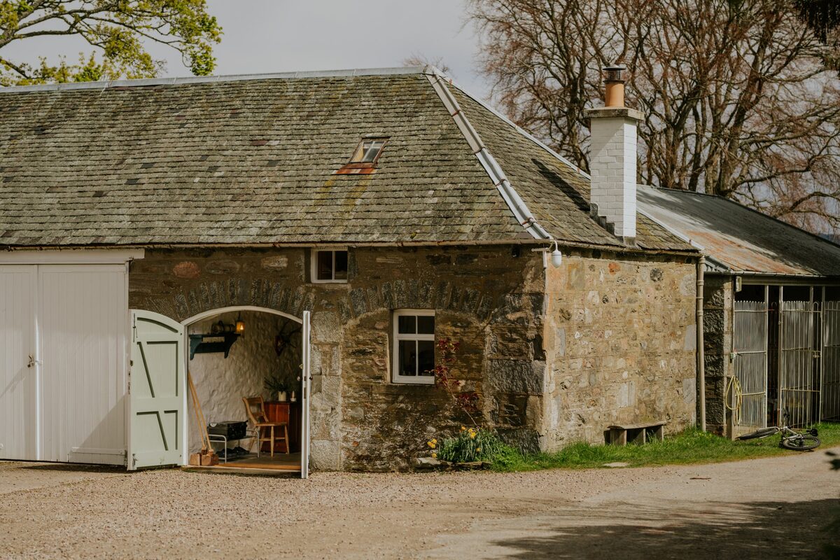
More places to stay near the walk
 An advert · KingussieCairngorms Church Hill HouseSleeps 4 · 23 minutes by road
 An advert · Blair AthollMilton of KincraigieSleeps 4 · 27 minutes by road
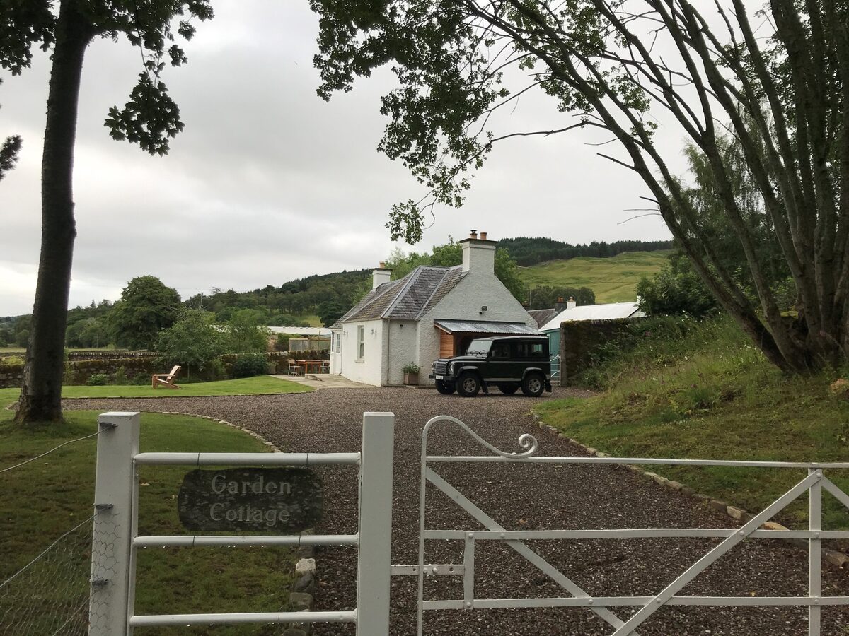 An advertGarden CottageSleeps 2 · 30 minutes by road
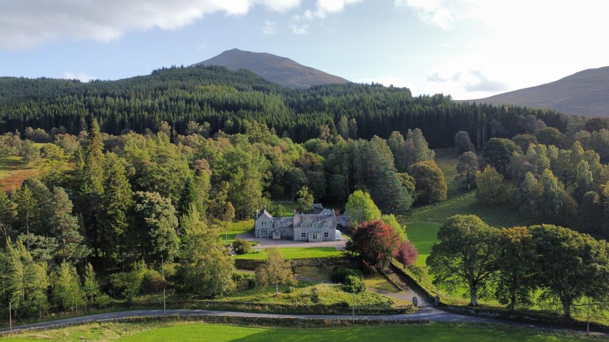 An advertLassintullich HouseSleeps 16 · 30 minutes by road
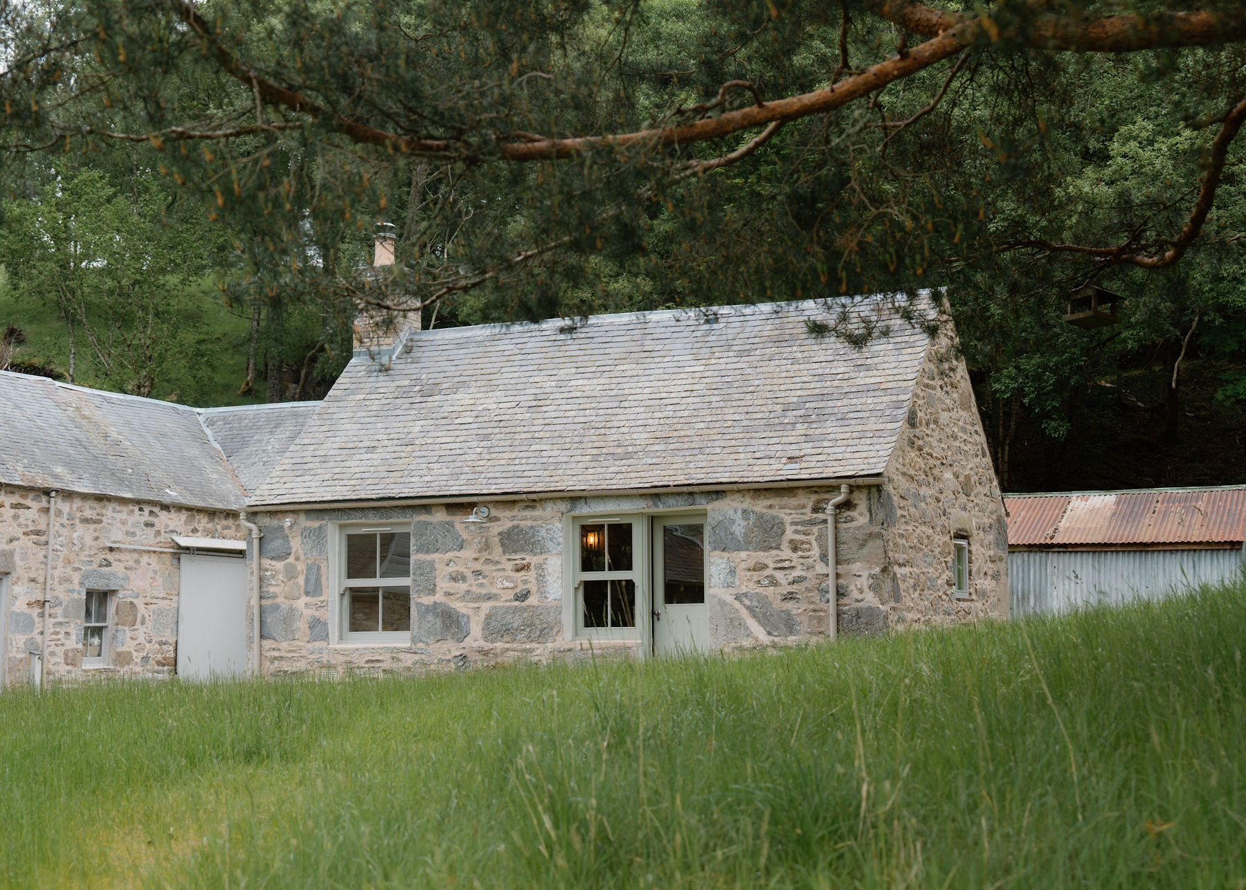 Somewhere to stayLassintullich BothySleeps 2 · 30 minutes by road
More walks near here
Within a short drive of the start.
Did this walk?
Tell the next person how it went. The best go on this page, with your name.
Find out more
For further reading, before you go.
- Geal-charn, the Munro page, Hidden Scotland↗
- How to use a user worked level crossing safely, Network Railnetworkrail.co.uk↗
- Southeastern Highlands forecast, Mountain Weather Information Servicemwis.org.uk↗
- Cairngorms National Park and Monadhliath forecast, Mountain Weather Information Servicemwis.org.uk↗
- Geal Charn summit forecast, Met Officeweather.metoffice.gov.uk↗
- A9 roadworks and closures, Traffic Scotlandtraffic.gov.scot↗
- Deer stalking, Mountaineering Scotlandmountaineering.scot↗
- Mountain access and safe hillwalking, Forestry and Land Scotlandforestryandland.gov.scot↗
- Calling for help, Mountaineering Scotlandmountaineering.scot↗
Photograph by gregory666 via Google
Maps from OpenFreeMap © OpenMapTiles, data © OpenStreetMap contributors; heights from Mapzen's terrain tiles.