
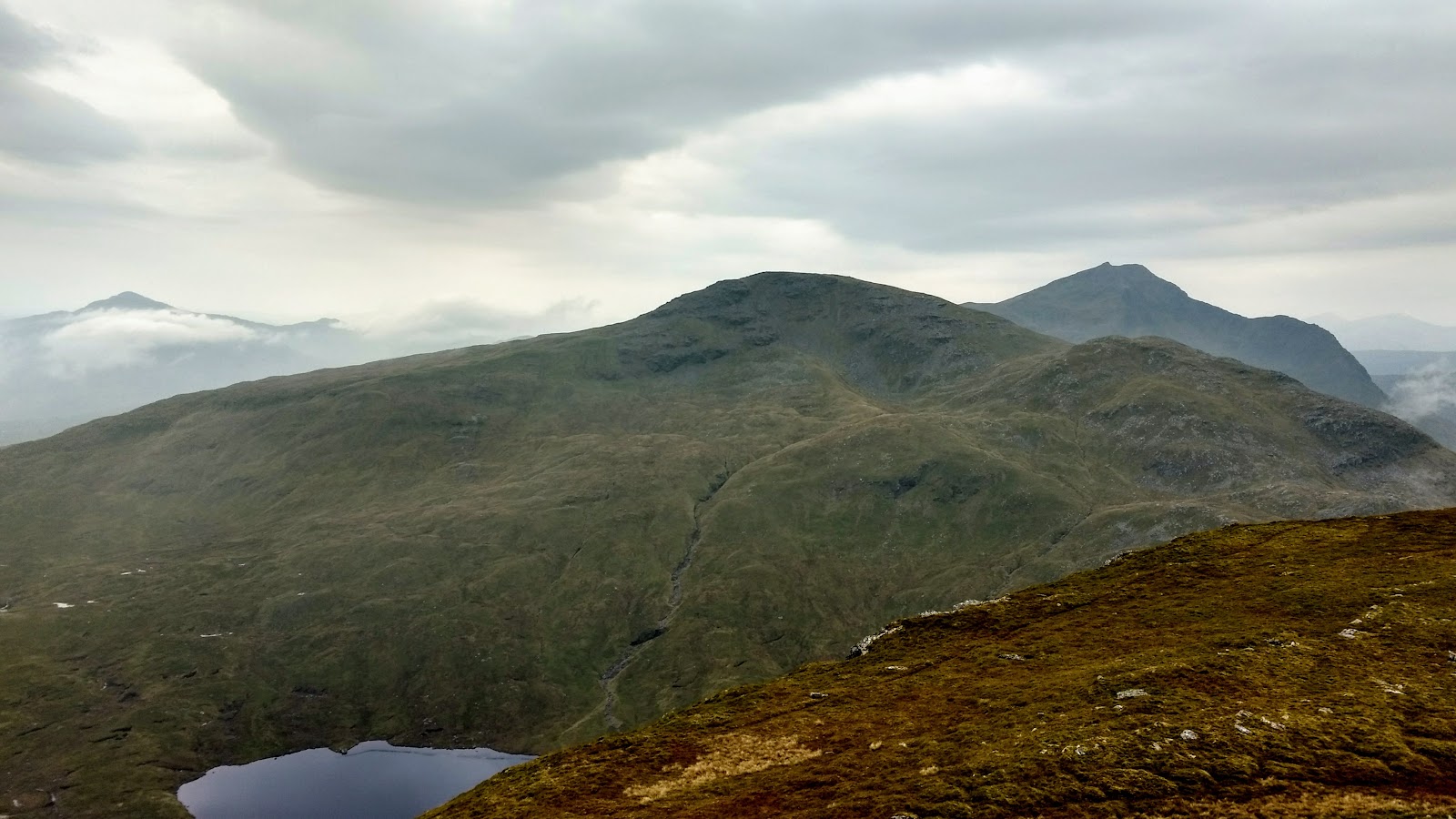
Ben Oss – Through the Old Pines and Over Beinn Dubhchraig
11 miles · 6 to 8 hours · a hill · there and back
Ben Oss is a rocky Munro of 1,030 metres beside Ben Lui, in the hills south-west of Tyndrum.
Most people climb it from Dalrigh, through an old pinewood and up a corrie to Beinn Dubhchraig, then west past Loch Oss to the summit; back much the same way. By our map it is about 17.5 km there and back with about 1,240 metres of climb, and it takes about 6 to 8 hours. The lower path is badly eroded and boggy, and higher up the way drops through boulders and scree. It is a long day for experienced hillwalkers who can find their way with a map and compass.
Where it starts
Start at the car park at Dalrigh, where the park authority points walkers: turn off the A82 at the Dalrigh sign, about a mile before Tyndrum on the road from Glasgow, and keep left.
Is it for me?
Tap who is coming, or the day you have, for the answer on this walk.
Before you go
Getting there
No keeper publishes the car park’s charge or size. Trains stop at Tyndrum Lower and Citylink coaches at Tyndrum, the park authority says; its directions are a walk of about a mile along the A82, which by our map has no pavement there. The West Highland Way runs between Tyndrum and Dalrigh off the road.
On the path
About 6 to 8 hours there and back: about 17.5 km (11 miles) and 1,240 metres of climb by our map, from Dalrigh through the old pinewood and up the corrie to the top of Beinn Dubhchraig, then west by the Bealach Buidhe to the summit of Ben Oss, 1,030 metres, and back much the same way. An old road and a rough track, a footbridge one guide found in poor repair, then a badly eroded, boggy path through the pinewood and three burns crossed with no bridge. Above, a steep corrie path, boulders and scree down to the Bealach Buidhe, and a fainter path up a rocky ridge with crags to the summit. A long, hard Munro day of about 17.5 km over two tops, with deep bog low down, burns to cross and rocky ground above: for older children used to big hill days, with an adult who can navigate. The map to carry is OS Landranger 50, Glen Orchy & Loch Etive (1:50,000).
Good to know
All year in daylight, on a clear day with a good forecast, best after a dry spell. We found no toilets at Dalrigh, so plan for none at the start. Under snow these are winter mountains, and no avalanche forecast covers Ben Oss. Stags may be stalked at any time of year, busiest in the first three weeks of October, and hinds from 21 October to 15 February, Mountaineering Scotland says.
The walk
The usual way up Ben Oss starts at Dalrigh, south-east of Tyndrum, and goes over Beinn Dubhchraig first. By our map it is about 17.5 km (11 miles) there and back, with about 1,240 metres of climb. Allow about 6 to 8 hours, more with stops, in poor weather or under snow, and leave plenty of daylight for the way down. The summit is 1,030 metres up. It is a long, hard hill day. The lower path is badly eroded and boggy, and three burns are crossed with no bridge. Higher up the ground is rocky, with boulders and scree on the way down to the Bealach Buidhe, and the way is hard to find in mist. The park authority gives the way in outline; no public body publishes a distance or a time for it. Beinn Dubhchraig, 979 metres, is a Munro too, and this walk goes out to its top on the way.
The park authority points walkers to Dalrigh: turn off the A82 at the Dalrigh sign, about a mile before Tyndrum on the road from Glasgow, and keep left for the car park. No keeper publishes its charge or its size. Trains stop at Tyndrum Lower and Citylink coaches at Tyndrum, the authority says, and its directions are a walk of about a mile along the A82 to the Dalrigh turning. By our map the road has no pavement there, and the West Highland Way runs between Tyndrum and Dalrigh off the road. We found no toilets at Dalrigh, so plan for none at the start.
Before you set off, check the mountain forecast, and under snow the snow and avalanche conditions too, as Mountaineering Scotland advises. On the hills it is often much colder and windier than in the glen, even on a clear summer day, Forestry and Land Scotland warns. Wear good walking boots and carry warm, waterproof clothing, plenty of food and drink, and a torch in case the day runs long. Carry a map and compass and know how to use them, and do not rely only on a phone or GPS. Leave word with someone of where you are going and when you will be back.
From the low end of the car park the old road leads south, across the West Highland Way, and over the River Fillan by its bridge. Just beyond, turn right on the track beside the railway. By our map it crosses the railway by a bridge after about a kilometre: go through the gate beyond. A path leads across wet ground to a footbridge over the Allt Gleann Achrioch, about 1.7 km from the car park by our map. One guide found the footbridge in poor repair: cross it with care.
Beyond the footbridge the path heads upstream beside the Allt Coire Dubhchraig, into the pines of Coille Coire Chuilc. The park authority calls these woods one of the last stretches of Caledonian forest, mixed with birch. It can be a wet walk to start with, the park authority warns. The path through the pines is badly eroded in soft peat, and one guide warns you can sink to the knees. It passes old deer fences and leaves the trees for open ground. By our map it then crosses three burns with no bridge, about 3.6 to 3.9 km from the car park. After heavy rain the burns run high, and one guide says to save this walk for a dry spell. If a crossing looks unsafe, turn back.
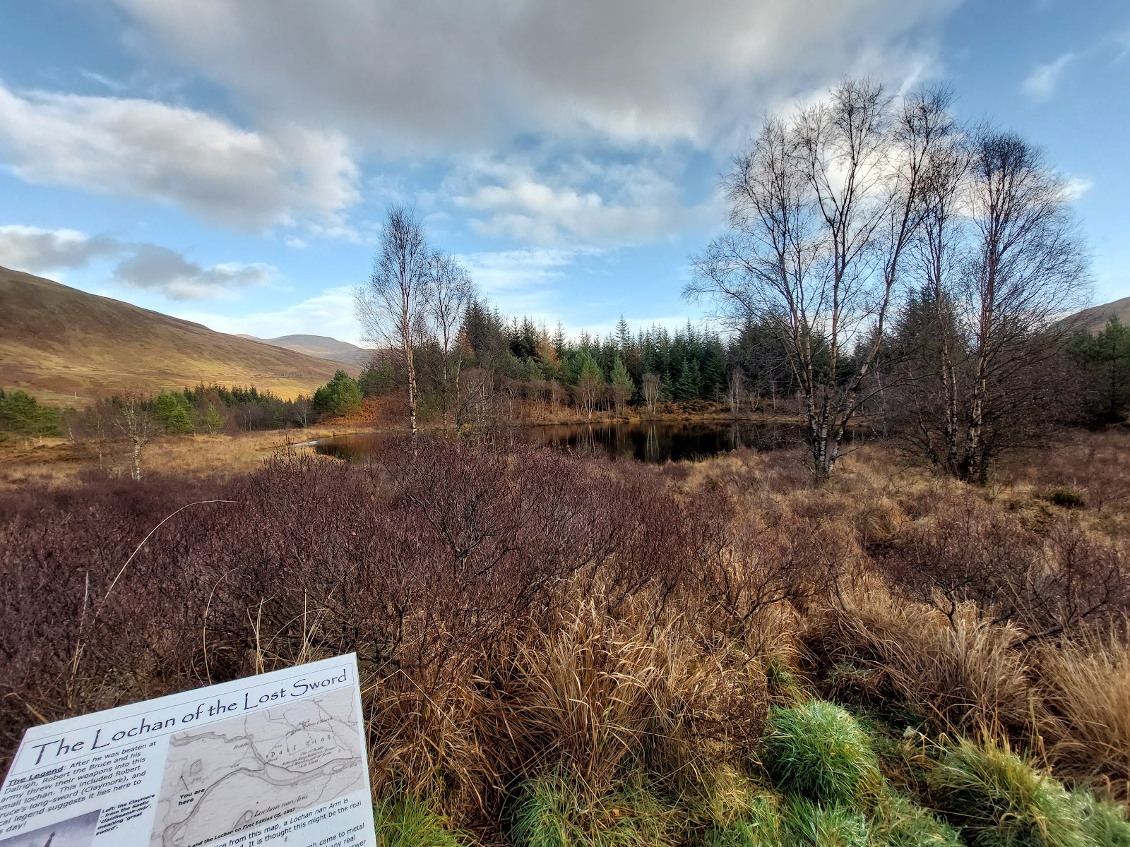
The path climbs the corrie on the north-east side of Beinn Dubhchraig, steeper near the top, to the ridge north-west of its summit. It reaches the ridge by small lochans, about 900 metres up by our map. Out on the hill there are no waymarks or signposts, and paths can be hard to follow, Forestry and Land Scotland says. Turn left, south-east, along the ridge for the top of Beinn Dubhchraig, about 500 metres on by our map. Then come back the same way to where the path reached the ridge. This is the place to decide. If the cloud is coming down, the wind is rising or anyone is tiring, turn for home: Forestry and Land Scotland asks walkers to turn back if they get tired.
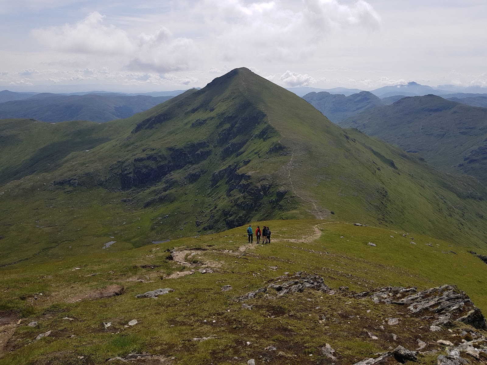
From the ridge the path runs west past the lochans, then drops more steeply through boulders and some scree to the Bealach Buidhe, above Loch Oss. The bealach is about 780 metres up, by our map. On the way down the path passes within about 40 to 60 metres of mapped crags. Do not take the ground down Coire Buidhe from the bealach as a short cut. One guide warns that its rocks are steep and very loose, for competent scramblers only.
From the bealach a fainter path climbs the north-east ridge of Ben Oss: one guide marks where it leaves the main path by a small cairn. The ridges are rocky and uneven, with crags, and in poor visibility the way is hard to find. The path goes over a top on the ridge and down about 20 metres to a small col. From there the summit is about 550 metres on, by our map. It is a cairn on a flattish top of big slabs and grass, with the craggy east face of Ben Lui beyond.
Under snow these are winter mountains, for walkers with winter skills and the gear to match. In winter you need to know the snow conditions and the avalanche risk too, Mountaineering Scotland says. No avalanche forecast covers Ben Oss. The Scottish Avalanche Information Service forecasts six other areas, from Glencoe and Lochaber to the Cairngorms and Torridon, which is no sign there is no risk here.
The owners of the land may be at work managing deer, the park authority warns. Stags may be stalked at any time of year, busiest in the first three weeks of October, and hinds from 21 October to 15 February, Mountaineering Scotland says. Most stalking takes place on weekdays, and often none on a Sunday. Check Heading for the Scottish Hills before you go, and if in doubt keep to the well-known way.
The way down is the way you came, back down the ridge to the Bealach Buidhe. Then climb east again past the lochans to the ridge of Beinn Dubhchraig: about 160 metres of climb by our map, late in a long day. Do not drop north from the bealach. Where the path first reached the ridge, turn left, down the corrie and back through the wood to Dalrigh. In cloud, check the line with your map and compass before you leave each top. In an emergency call 999 and ask for the police, the park authority says. Give your location as exactly as you can, with a grid reference, and the police will send help, which may be a mountain rescue team.
If it rains
None on this walk: in rain, low cloud or a high wind, leave the summit for another day. The path through the wood is deep bog and the burns run high after rain, the tops are hard to find in mist, and Forestry and Land Scotland asks walkers to turn back if they get tired.
After the walk
Something to do with the rest of the day, nearest the end of the walk first.
With the rest of the day
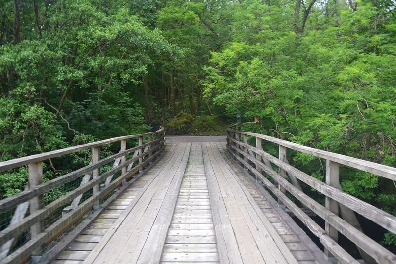 7 min by roadThings to doWest Highland WayScotland's best-loved long walk, 96 miles from Milngavie to Fort William by Loch Lomond, Rannoch Moor and Glencoe.
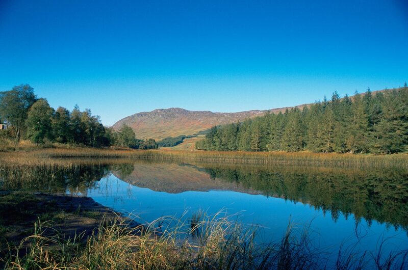 9 min by roadThings to doLoch Iubhair & Loch DochartTwo small lochs in Glen Dochart east of Crianlarich, with a ruined Campbell castle on an island.
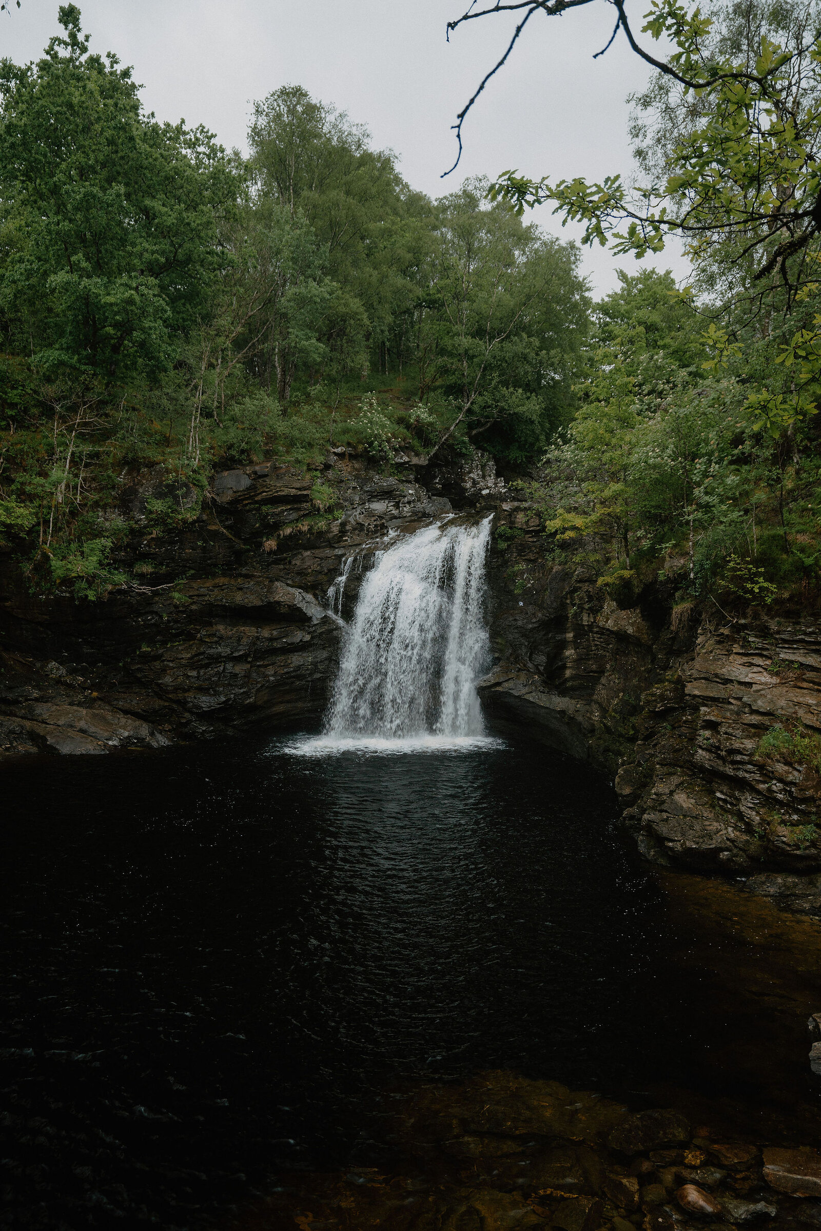
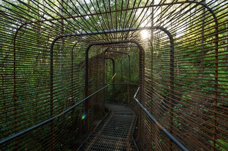 10 min by roadThings to doWoven Sound, Falls of FallochWoven Sound is a viewpoint built out over the edge of a cliff at the Falls of Falloch, where you take in the view and the sound of the falls together.
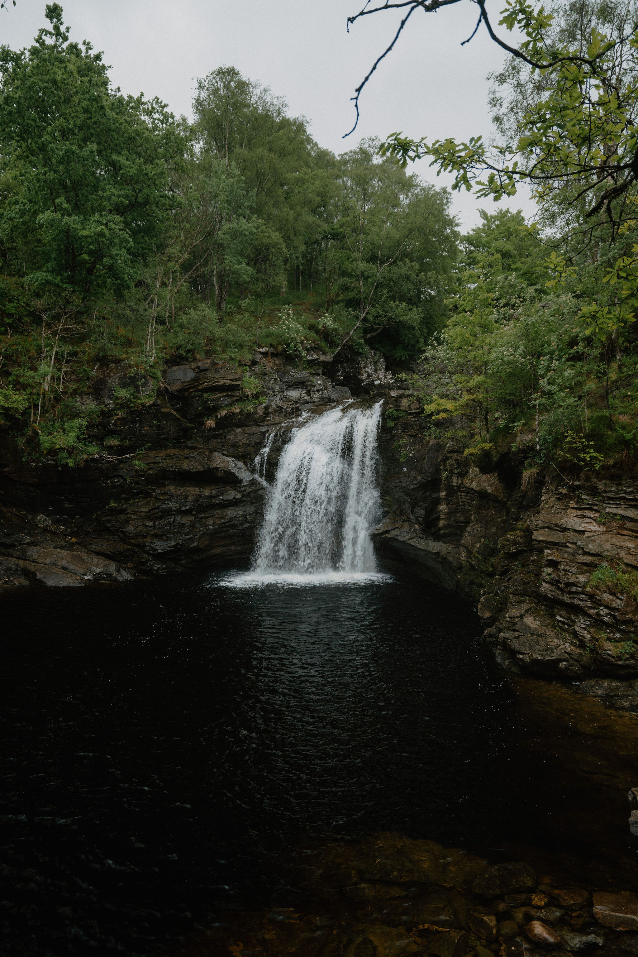 10 min by roadThings to doFalls of FallochA waterfall in Glen Falloch with a pool called Rob Roy's Bathtub and a steel viewing platform by the artist John Kennedy.
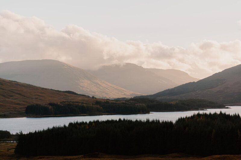 13 min by roadThings to doLoch TullaA loch ringed by old Scots pines below the Black Mount, on the road and the West Highland Way north of Bridge of Orchy.
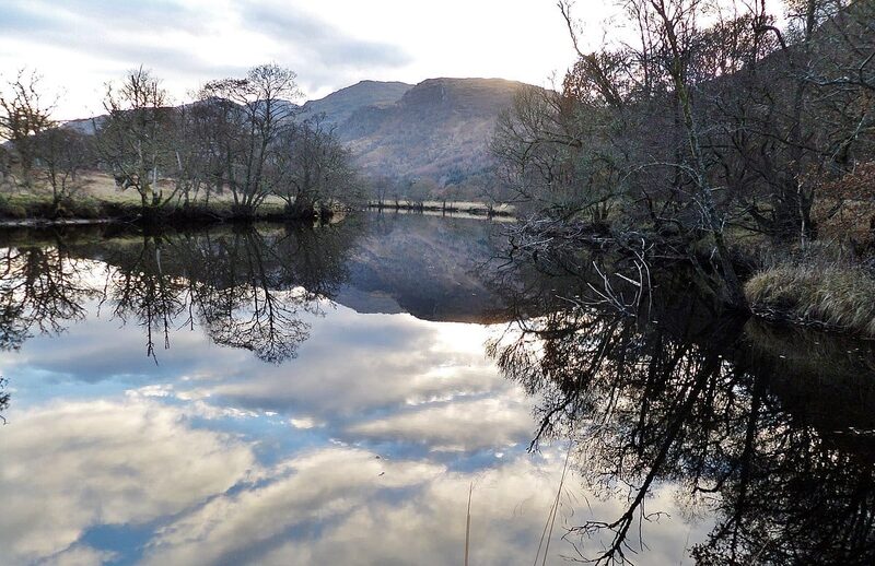 14 min by roadThings to doInverarnan CanalA short, lost canal of 1844 at the head of Loch Lomond, cut so the steamers could reach the drovers' inn at Inverarnan.
Places to stay near the walk
Our places to stay nearest the start, by road.
An advert · Luib
Suie Hunting Lodge
The old shooting lodge of the Suie Estate in Glen Dochart, between Crianlarich and Killin, built about 1780 and now six rooms for two with breakfast included.
15 minutes by road
See Suie Hunting Lodge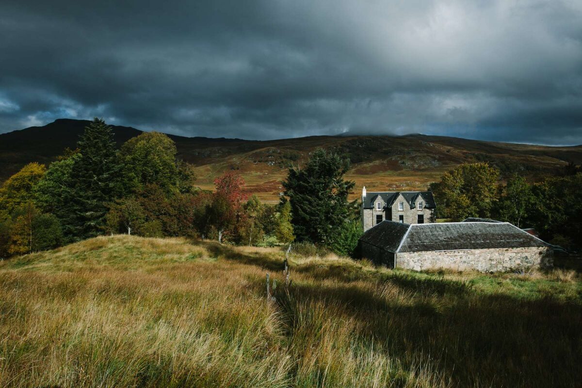
More walks near here
Within a short drive of the start.
Did this walk?
Tell the next person how it went. The best go on this page, with your name.
For further reading, before you go.
- Ben Oss, the Munro page, Hidden Scotland↗
- Beinn Dubhchraig and Beinn Oss, Loch Lomond and The Trossachs National Parklochlomond-trossachs.org↗
- In an emergency, Loch Lomond and The Trossachs National Parklochlomond-trossachs.org↗
- Mountain access and safe hillwalking, Forestry and Land Scotlandforestryandland.gov.scot↗
- Deer stalking, Mountaineering Scotlandmountaineering.scot↗
- West Highlands forecast, Mountain Weather Information Servicemwis.org.uk↗
- Southeastern Highlands forecast, Mountain Weather Information Servicemwis.org.uk↗
Photograph by gregory666 via Google
Maps from OpenFreeMap © OpenMapTiles, data © OpenStreetMap contributors; heights from Mapzen's terrain tiles.