Kabn
Stay: Off-grid cabins for two on the shore of Loch Fyne at Cairndow
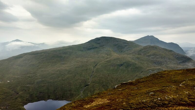
A Munro of 1,030 metres, number 101 of the 282.
Ben Oss stands right beside Ben Lui in the hills south of Tyndrum, in Loch Lomond and The Trossachs National Park.
The two stand together at the head of Glen Fyne, which carries on as the long sea loch, Loch Fyne.
On its other side, about two kilometres to the east, is Beinn Dubhchraig, and the two are often climbed together. The park authority says the slopes of the pair carry one of the last stretches of Caledonian forest, mixed with birch.
The authority, which spells the hill Beinn Oss, sees the high ground here as rocky summits and ridges, wild, remote and exposed.
West wind to 12 mph, gusting 25
Rain, about 7 mm
Light from 7.52am to 6.16pm, ten hours
A weather model's forecast for the height of the summit, not a report from the hill. Read the mountain forecast the evening before: West Highlands forecast, Southeastern Highlands forecast, Ben Oss, Stirling, Southwest Highlands mountain forecast.
Choose the day you mean to climb.Near or far: the light you will have, and what the summit is likely to be doing.
Photographs by gregory666, alan hinnrichs and szymon lupinski, via Google
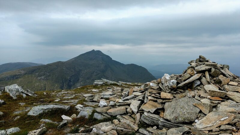
Accessed from Dalrigh on the A82 and on a long walk through forests of pine and birch, many people choose to tick off both Dubhchraig and the nearby neighbour Oss.The Loch Lomond and The Trossachs National Park Authority, on its page of Munros reached by public transport
Under snow and ice this is a different day, with short light and the risk of avalanche. It needs an ice axe, crampons, winter boots and the skill to use them.
The summit is optional. Turning back is the right decision whenever the cloud, the wind or the light say so.
How to call for help in the hills · Safety and skills for the hills · ThinkWINTER
Nobody has written from Ben Oss yet. If you were up, yours would be the first.
Were you up? Three words is enough.A free account, a word for the weather and a line if you like.
For the route itself, take the map and read these.
Next along: Beinn Dubhchraig, Ben Lui, Beinn a' Chleibh, Beinn Bhuidhe. Checked on 10 October 2026. The facts on this page are the Loch Lomond and The Trossachs National Park Authority's, the Outdoor Access Trust for Scotland's and Forestry and Land Scotland's; the forecasts are the Mountain Weather Information Service's and the Met Office's. Height and position from The Database of British and Irish Hills, v18.3, adapted, CC BY 4.0. This page is not a route description and does not replace a map.