
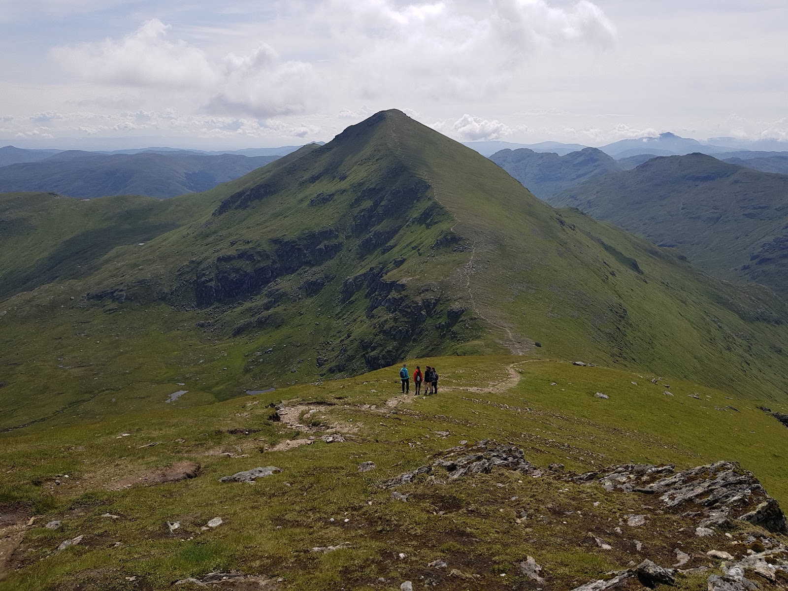
Ben More – Straight Up the Steep Side from Glen Dochart
4 miles · 4 to 5 hours · a hill · there and back
free parking
Ben More stands over Glen Dochart two miles east of Crianlarich and rises to 1,174 metres, the national park says.
Most people climb it from Benmore Farm on the A85, walking south-east up the mountain and back the same way. The park calls it a challenging climb, steep because the mountain is a pyramid. By our map it is about 6.4 km there and back with about 1,000 metres of climb, and it takes about 4 to 5 hours. It is climbing all the way up, a day for walkers who can find their way with a map and compass.
Where it starts
Benmore Farm on the A85, about 2 miles east of Crianlarich, where the national park's directions end.
Is it for me?
Tap who is coming, or the day you have, for the answer on this walk.
Before you go
Getting there
The park names no car park for the walk; by our map there is a free car park beside the A85 on the shore of Loch Iubhair, under a kilometre east of the farm road; the A85 is a 60 mph road with no pavement. By bus or train, Crianlarich, then about 2 miles on foot along the A85 towards Killin. From Glasgow, the A82 north for 56 miles by Loch Lomond, then the A85 for about 2 miles beyond Crianlarich to Benmore Farm. Citylink's coaches take about 1 hour 45 minutes from Glasgow to Crianlarich, the train about 2 hours. On foot from Crianlarich, look for a low wooden sign marked Ben More beside the A85 once Benmore Farm is on your right; the road is 60 mph with no pavement.
On the path
About 4 to 5 hours there and back: about 6.4 km (4 miles) and 1,000 metres of climb by our map, from Benmore Farm on the A85 to the 1,174 metre summit and back the same way. A farm road and gravel track into Benmore Glen, then a hill path straight up the steep north-west side of the mountain to the summit: the national park calls it a challenging climb, steep because the mountain is a pyramid. A steep Munro of 1,174 metres that climbs all the way to the top: for older children used to hill days, with an adult who can navigate. The map to carry is OS Landranger 51, Loch Tay & Glen Dochart (1:50,000).
Good to know
All year in daylight, on a clear day with a good forecast. Dogs sheep graze the hill. Keep a dog under close control where there is livestock, on a short lead in a field of animals, and never in a field with lambs, the national park asks. Under snow it is a winter mountain, and no avalanche forecast covers Ben More (the Scottish Avalanche Information Service forecasts six other areas). The land may be in use for deer management and farming: follow any signs at the start.
The walk
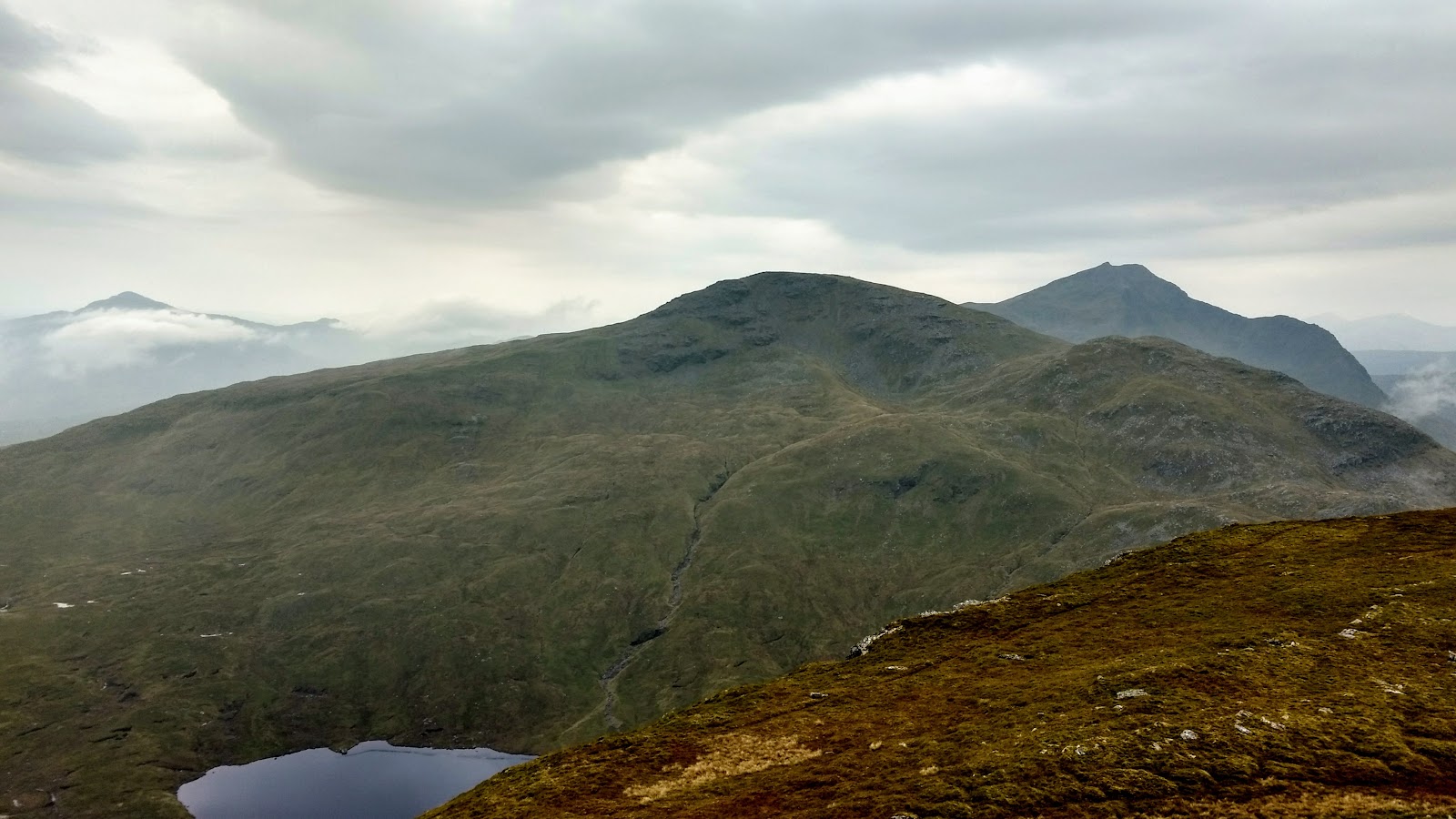
Most people climb Ben More from Benmore Farm on the A85, walking south-east up the mountain, the Loch Lomond and The Trossachs National Park says, and they come back the same way. By our map it is about 6.4 km (4 miles) there and back, with about 1,000 metres of climb. Allow about 4 to 5 hours, more with stops, in poor weather or under snow, and leave plenty of daylight for the way down. The park calls it a challenging climb: the mountain is a pyramid, and its shape makes it steep. From the farm the way climbs all the way to the top, 1,174 metres up.
By car, follow the A82 north from Glasgow for 56 miles, by Loch Lomond, and after Crianlarich take the A85 for about 2 miles to Benmore Farm, the park says. It names no car park for the walk. By our map there is a free car park beside the A85 on the shore of Loch Iubhair, under a kilometre east of the farm road. Citylink's coaches reach Crianlarich from Glasgow in about 1 hour 45 minutes, and the train in about 2 hours. From the station it is about 2 miles on foot along the A85 towards Killin. Once Benmore Farm is on your right, look for a low wooden sign beside the road marked Ben More. Mind the traffic on foot by the road, from the car park or the station: this stretch of the A85 is a 60 mph road with no pavement.
Before you set off, check the mountain forecast, and under snow the snow and avalanche conditions too, as Mountaineering Scotland advises for every trip. Conditions on the hills are often much colder and windier than in the glen, even on a clear summer day, Forestry and Land Scotland warns. Wear good walking boots and carry warm, waterproof clothing, plenty of food and drink, and a torch in case the day runs long. Carry a map and compass and know how to use them, and do not rely only on a phone or GPS: if the battery fails, you still need to know where you are. Leave word with someone of where you are going and when you will be back.
The walk starts on the farm road and the track beyond it, which climbs from Benmore Farm into Benmore Glen. The park's own planning papers call it the track walkers use to reach Ben More and Stob Binnein, and the main way through from Glen Dochart to Inverlochlarig. The farm's hillside is grazed by sheep, the papers say. Keep a dog under close control wherever there is livestock, on a short lead in a field of animals, and never take one into a field with lambs. The park also asks walkers to keep in mind that the owners may be managing deer or farming the land: follow any signs at the start.
The hill path leaves the track not far up the glen and heads south-east, straight up the open slope. Keep to it and do not carry on along the track: the track goes on into the glen and through to Inverlochlarig, not to the top. From here to the summit the path climbs without a break, and it is steep the whole way. Out on Scotland's hills there are no waymarks or signposts and paths can be hard to follow, Forestry and Land Scotland warns, so this is where a map and compass count.
The way up is the place to decide. If the cloud is coming down, the wind is rising or anyone is tiring, turn back: Forestry and Land Scotland asks walkers to turn back if they get tired, or if anything looks unsafe. Under snow it is a winter mountain, and no avalanche forecast covers Ben More. The Scottish Avalanche Information Service forecasts six other areas, from Lochaber and Glencoe to the Cairngorms and Torridon. That is no sign there is no risk here.
The summit has a large cairn, the park says. On a clear day it names the view: many mountains of the southern Highlands, over to Ben Lawers above Loch Tay, and Ben Lui in the west. More means big in Gaelic, and this is one of four Munros of the name, with Ben More on Mull, Ben More Assynt and Bynack More. With Stob Binnein, its neighbour to the south, the hill is a Site of Special Scientific Interest for its rare upland plants. Ptarmigan, red grouse, golden eagles, red deer and mountain hares are all here, the park says. Its page says most walkers go on from the summit to Stob Binnein.
The way down is the way you came, back down the same steep slope with care to the track, and along it to Benmore Farm and the A85. If someone is hurt, dial 999 and ask for the police, the park says, and give an exact location, a grid reference if you can: the police send help, which may be a mountain rescue team.
If it rains
None on this walk: in rain, low cloud or a high wind the steep slope is a day to give up, not to shorten. Turn back if anything looks unsafe, Forestry and Land Scotland asks of every hill.
After the walk
Coffee and cake, something to do with the rest of the day, and dinner, nearest the end of the walk first.
With the rest of the day
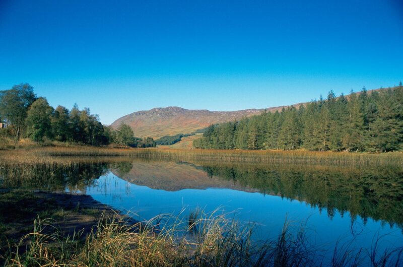 1 min by roadThings to doLoch Iubhair & Loch DochartTwo small lochs in Glen Dochart east of Crianlarich, with a ruined Campbell castle on an island.
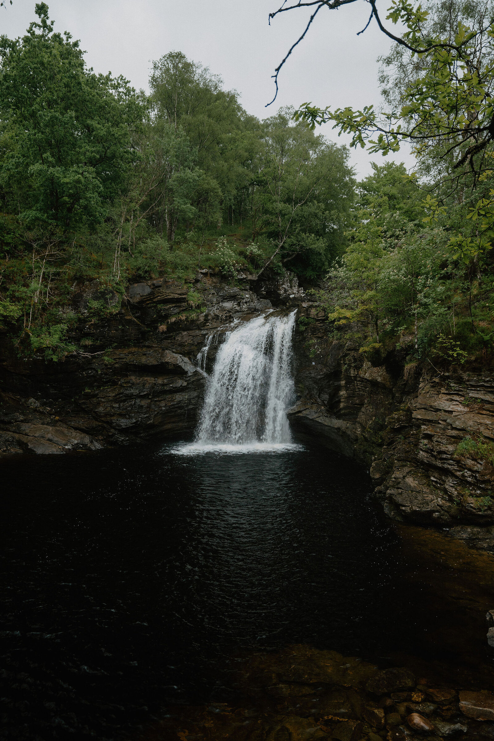
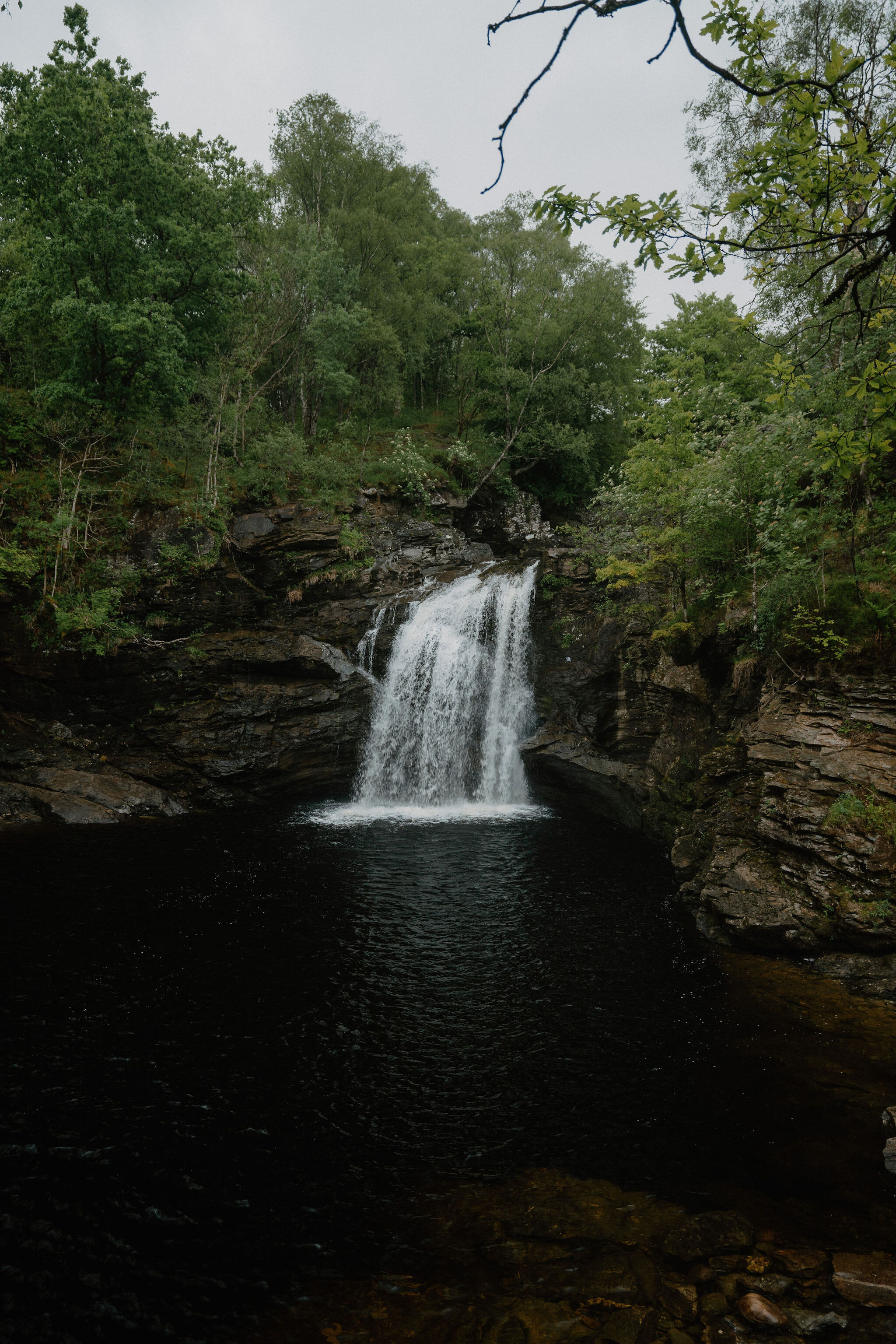 9 min by roadThings to doFalls of FallochA waterfall in Glen Falloch with a pool called Rob Roy's Bathtub and a steel viewing platform by the artist John Kennedy.
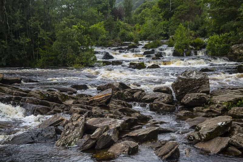 15 min by roadThings to doFalls of DochartRapids pouring under the old bridge at Killin, with the MacNab chiefs' burial island in the river.
For dinner
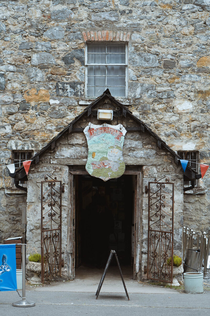
The Drovers Inn in Inverarnan, 12 minutes by road. The old drovers' inn at Inverarnan, opened in 1705, with a stuffed grizzly bear in the hall and a name for ghosts.
Places to stay near the walk
Our places to stay nearest the start, by road.
An advert · Luib
Suie Hunting Lodge
The old shooting lodge of the Suie Estate in Glen Dochart, between Crianlarich and Killin, built about 1780 and now six rooms for two with breakfast included.
7 minutes by road
See Suie Hunting Lodge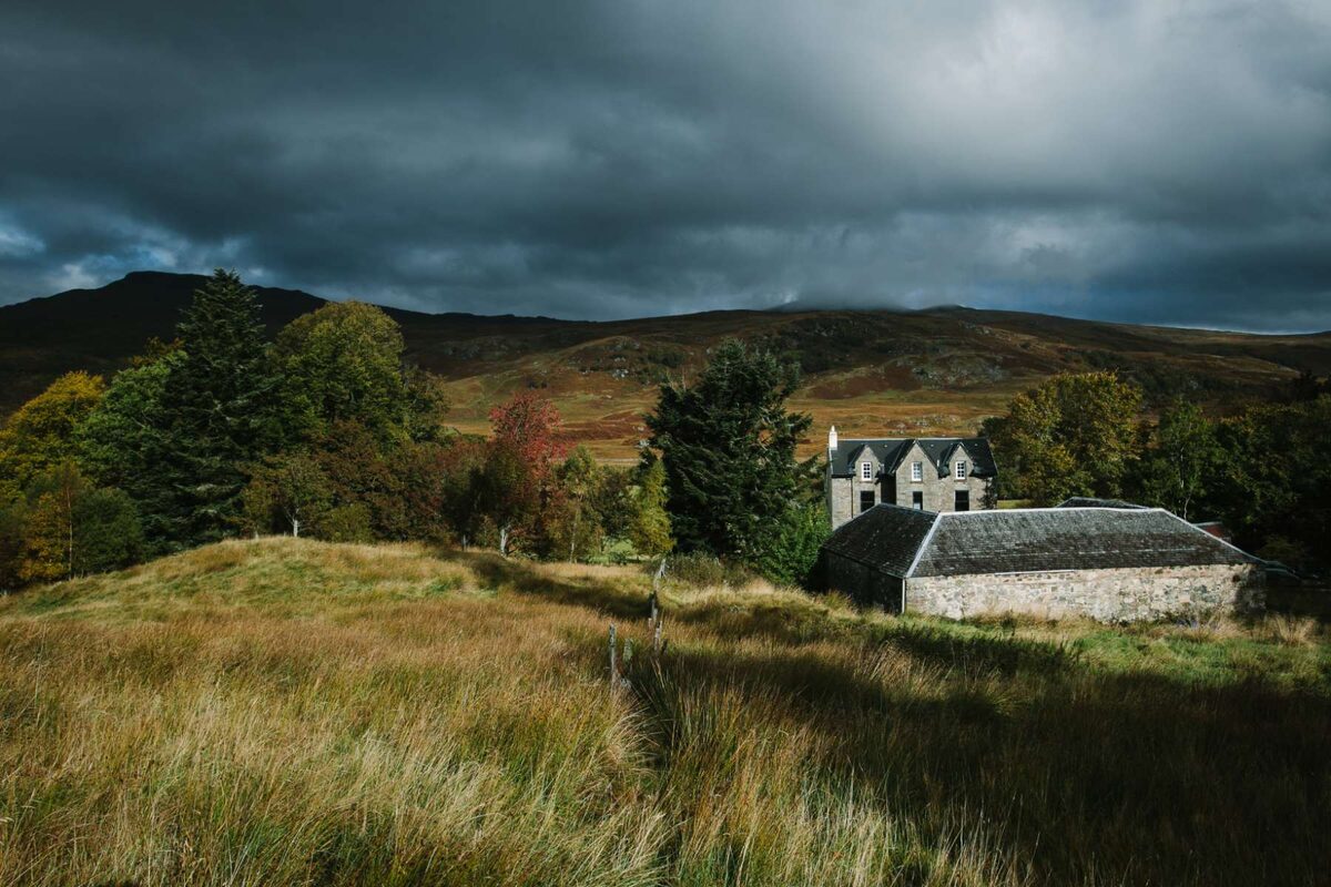
More walks near here
Within a short drive of the start.
Did this walk?
Tell the next person how it went. The best go on this page, with your name.
For further reading, before you go.
- Ben More (1,174m), Loch Lomond and The Trossachs National Parklochlomond-trossachs.org↗
- Respect the landscape: emergencies, dogs, livestock and stalking, Loch Lomond and The Trossachs National Parklochlomond-trossachs.org↗
- Safety and skills, Mountaineering Scotlandmountaineering.scot↗
- Mountain access and safe hillwalking, Forestry and Land Scotlandforestryandland.gov.scot↗
- Avalanche forecasts, Scottish Avalanche Information Servicesais.gov.uk↗
Photograph by Kris Denes via Google
Maps from OpenFreeMap © OpenMapTiles, data © OpenStreetMap contributors; heights from Mapzen's terrain tiles.