
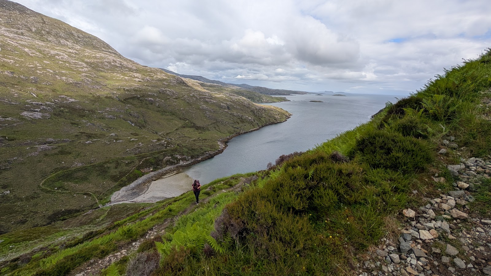
The Postman's Path: A Walk over the Hill to Rhenigidale
8 miles · 5 hours · there and back
dogs welcome
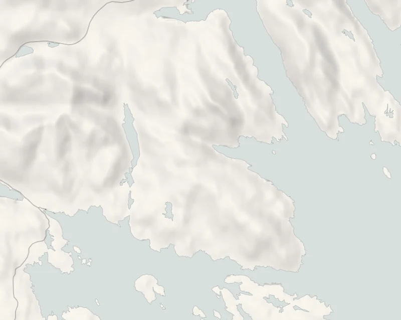
Rhenigidale, on the east coast of Harris, had no road until 1990.
Until then the way in on foot was a hill path from Urgha, near Tarbert, and in the 1970s and 80s the postman walked it with the mail three times a week. Today walkers follow it over the hill and down to the sea.
Where it starts
Start at the small car park by the Laxadale lochs, a short drive from Tarbert on the road to Scalpay, at the start of the path.
Is it for me?
Tap who is coming, or the day you have, for the answer on this walk.
Before you go
On the path
About five hours there and back with lunch: about 13 km (8 miles), climbing from near sea level to 285 m on the way out and again on the way back. A climb from near sea level to 285 m each way, with the zigzags of the Scriob. About 13 km with a climb to 285 m each way: for older children used to a full day on foot.
Good to know
All year; best started in the morning. Dogs under control on croft land.
The walk
The Postman's Path crosses the hill from the road to Scalpay, just east of Tarbert, to Rhenigidale on the east coast of Harris, and this walk goes there and back the same way. It is about 13 km (8 miles) in all, about five hours with a picnic. The path is clear on the ground and rougher beyond the pass. Each way it climbs and drops twice: over the pass at 285 m and down a steep run of zigzags to the sea, then over a lower headland to the village.
A board at the start tells the path's story. The North Harris Trust, which runs the estate for the community, looks after the path, and volunteers repaired stretches of it in 2019. The first climb follows the river Abhainn an t-Sratha past small waterfalls; look back for the lochs scattered over the rough ground of Harris.
From the cairn on the pass, a saddle between Beinn Tharsuinn and Trolamul, the view opens over Loch Trolamaraig to the Shiant Isles in the Minch. Just beyond it, a polished stone marks where a side path leaves for Molinginish.
Below, the path drops to the bridge at the head of Loch Trolamaraig by the Scriob, a tight ladder of hairpin bends on a very steep hillside. The slope falls away beside the path, so take it steadily and keep children and dogs close; on the way back, the zigzags are the stiffest climb of the day. Look for a waterfall in the glen above the bay, and on the loch for porpoises, divers and, with luck, an otter.
The path rises again over the headland of Linginis, past the ruined houses of Gearraidh Lotaigear, and meets the road just above Rhenigidale. The village sits under Toddun, looking out over the Minch to the north end of Skye.
Carry lunch and water: the nearest shops are in Tarbert. There are no toilets on the path; OpenStreetMap marks public ones by the pier in Tarbert, so check before relying on them.
If it rains
In wet weather, the walk to the cairn on the pass and back, about 2.4 km (1½ miles) each way, makes a shorter day.
After the walk
Something to do with the rest of the day, and dinner, nearest the end of the walk first.
With the rest of the day
 3 min by roadA shopEssence of Harris, TarbertA family home fragrance company in Tarbert, hand-pouring soy candles, diffusers and bath products on Harris, with its flagship shop and workshop by the pier.
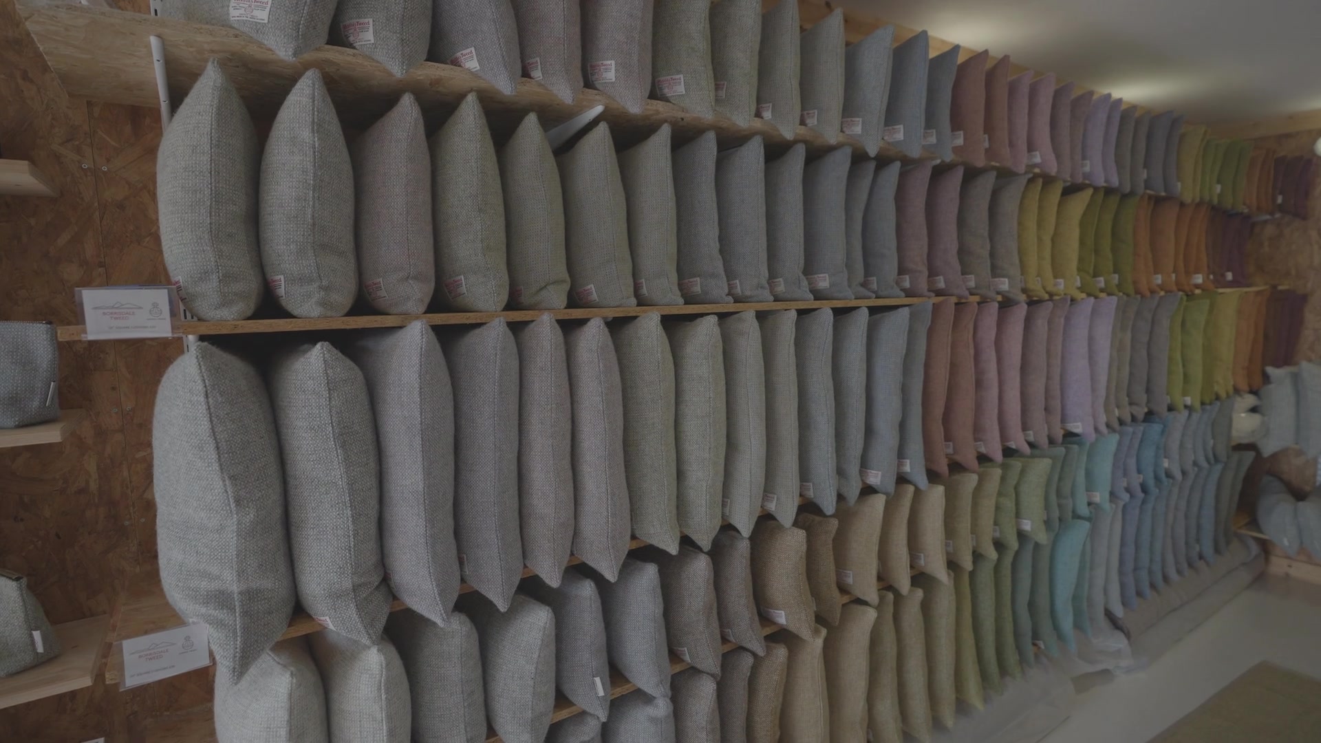 4 min by roadA shopHarris Tweed Isle of Harris, TarbertThe Campbell family's Harris Tweed shop by the ferry in Tarbert, selling the cloth by the length and coats, bags, hats and homeware made from it.
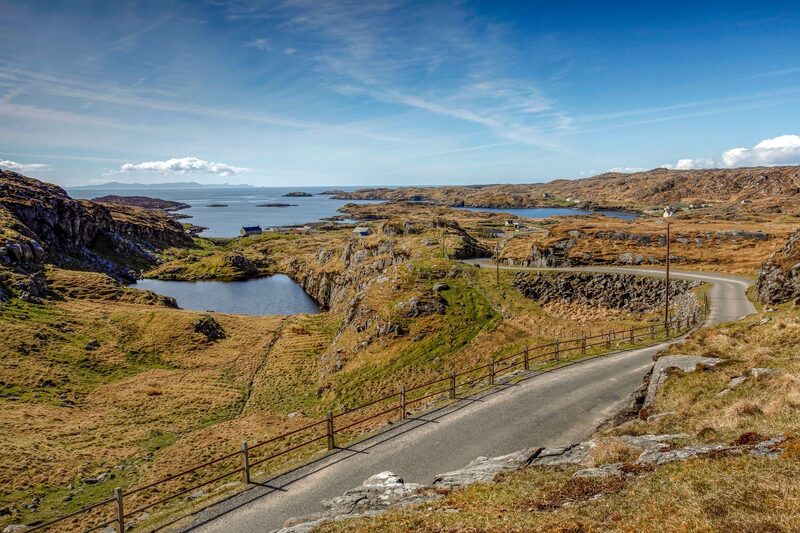 11 min by roadThings to doThe Golden RoadThe single-track road of 1897 along the rocky east coast of South Harris, through a string of tiny townships.
For dinner
North Harbour Bistro in Scalpay, 7 minutes by road. A small seafood bistro beside the harbour on the island of Scalpay, opened by the chef George Lavery in 2014, open on weekday evenings.
Places to stay near the walk
Our places to stay nearest the start, by road.
An advert · Cliasmol
Harris Hideaway
A turf-roofed house for two adults, dug into the clifftop at Cliasmol on Harris above the Sound of Taransay, with a sauna, a wave bath and a copper tub outside.
Sleeps 2 · 17 minutes by road
See Harris Hideaway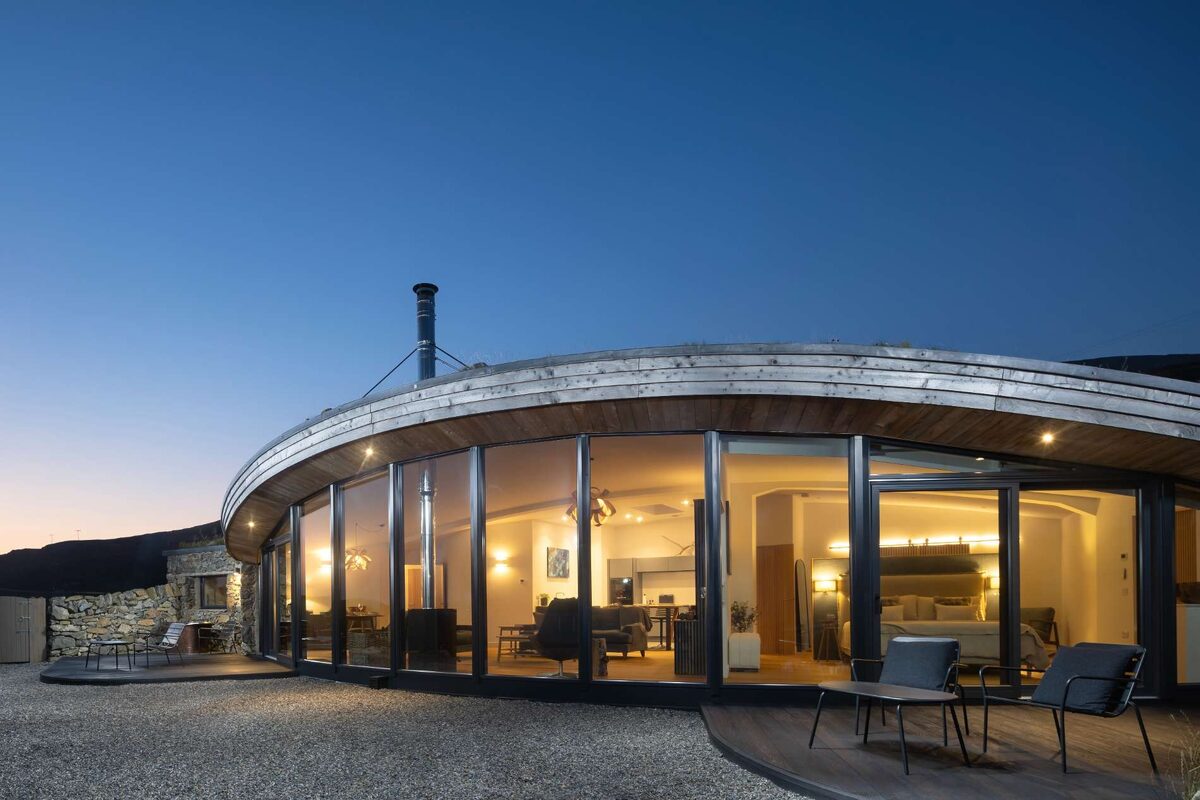
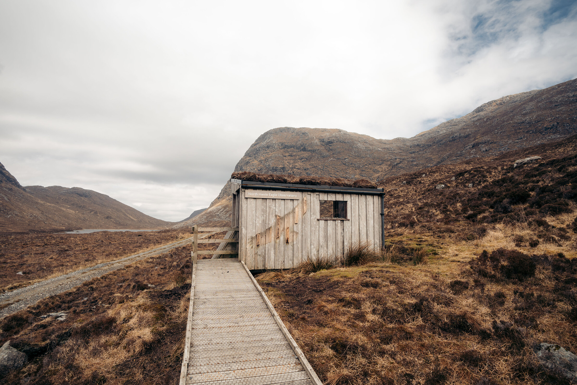
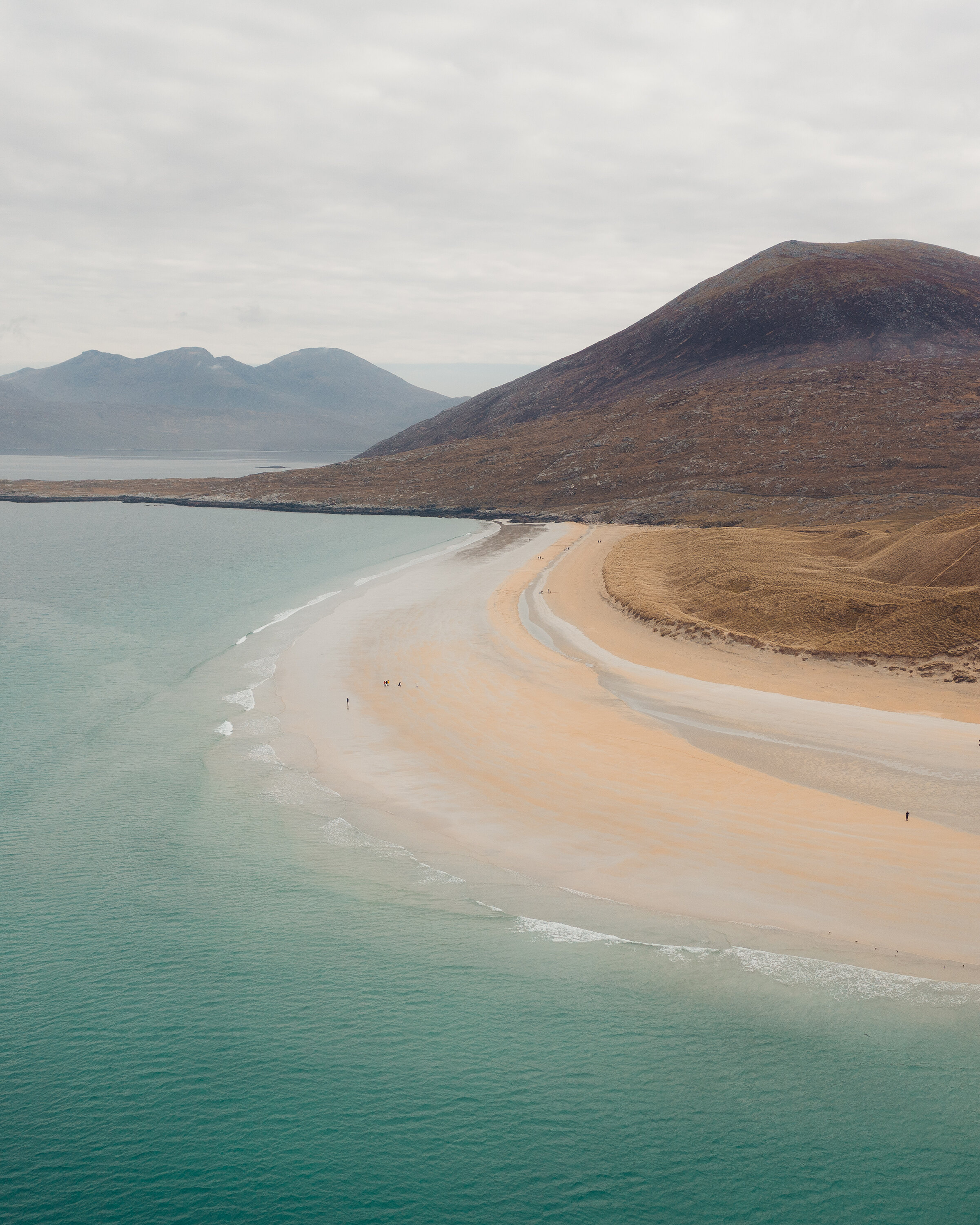
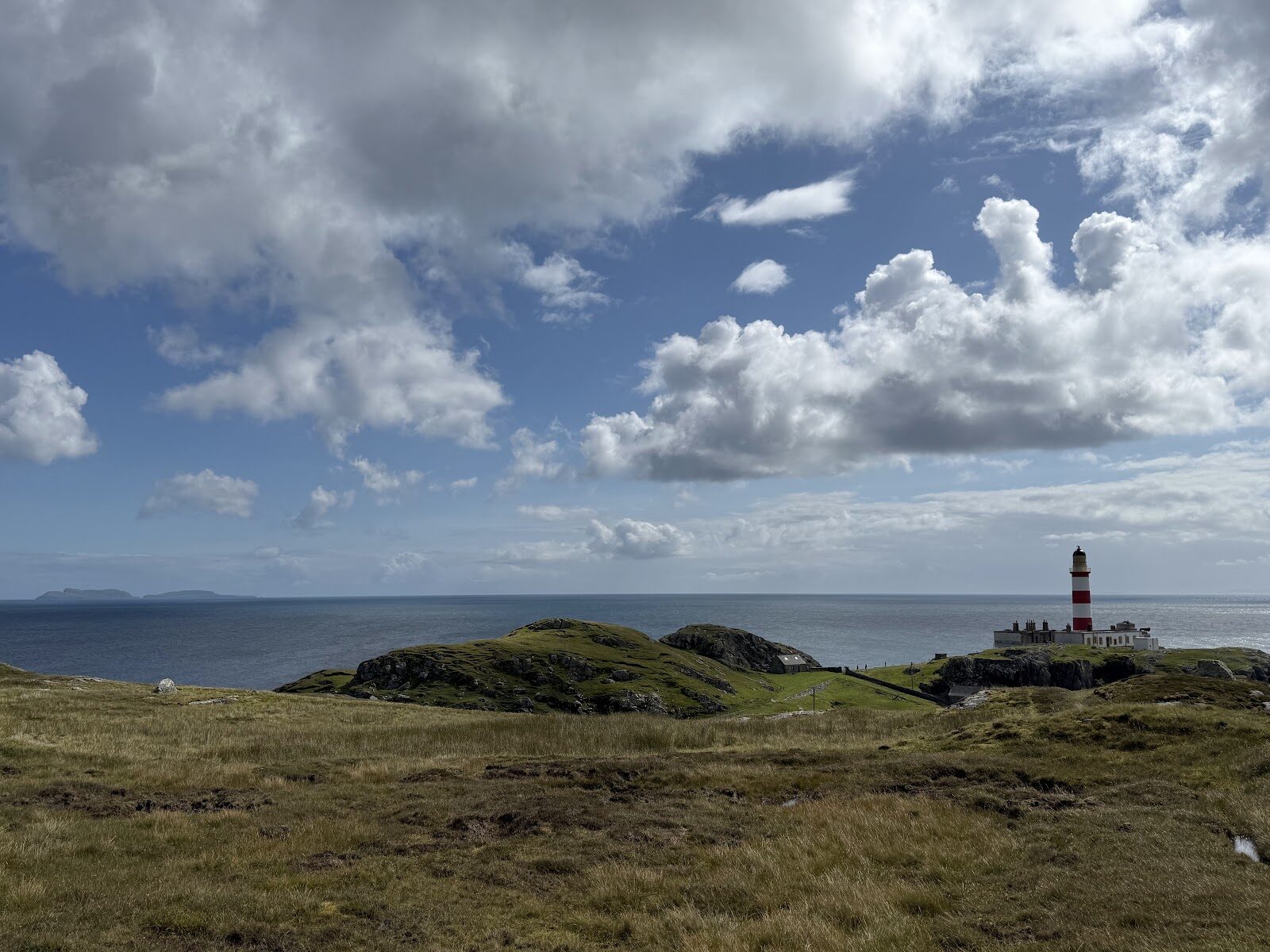
More walks near here
Within a short drive of the start.
Did this walk?
Tell the next person how it went. The best go on this page, with your name.
For further reading, before you go.
Photograph by BooksBoozeViews via Google
Maps from OpenFreeMap © OpenMapTiles, data © OpenStreetMap contributors; heights from Mapzen's terrain tiles.