
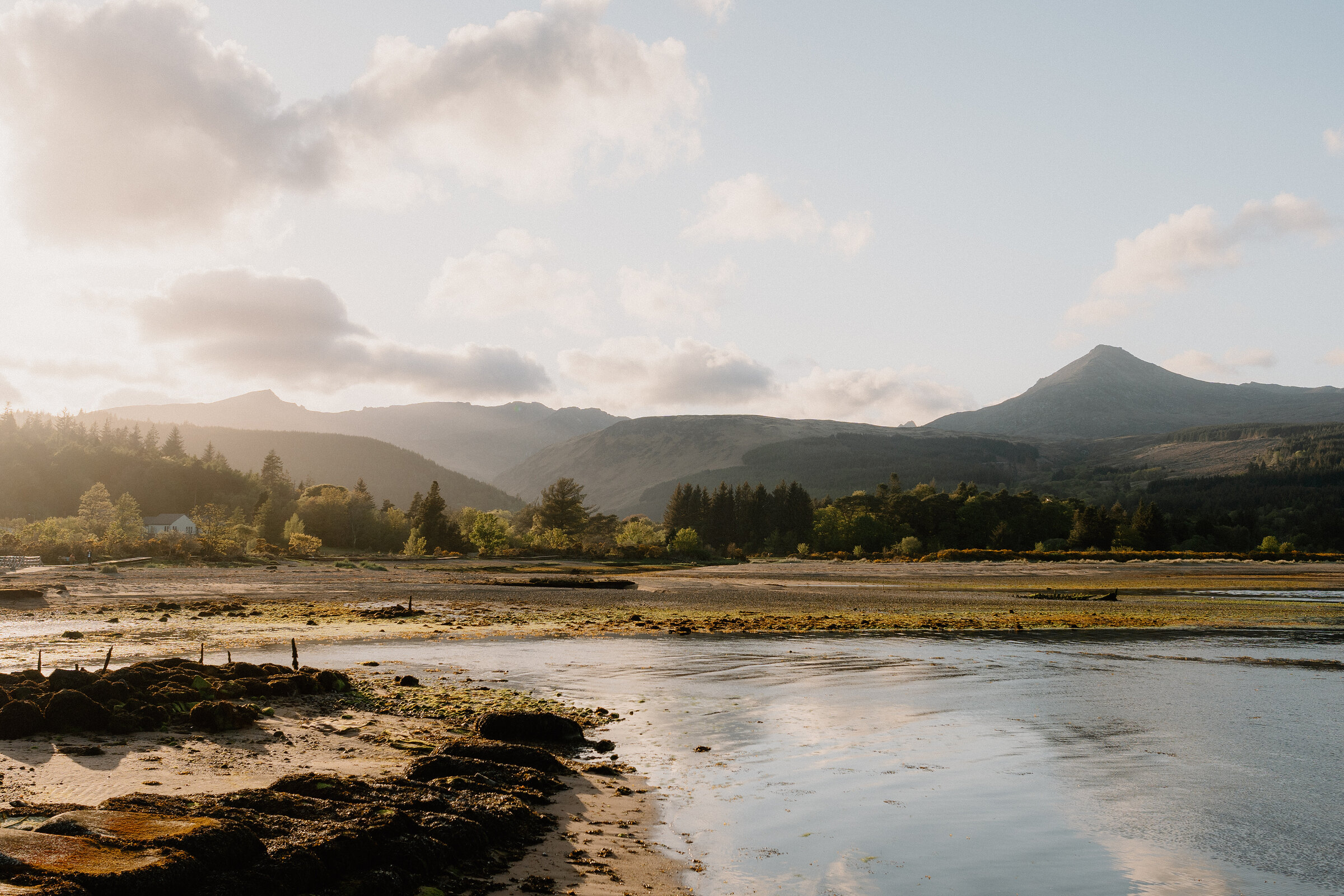
Goatfell – the Top of Arran from Cladach
About 6.5 miles on foot.
Goatfell is the highest point on Arran, 874 metres of granite above Brodick Bay, and the path from Cladach climbs through the castle woods and over open moor to a rocky summit with views across the Firth of Clyde.
It's a full mountain day of five to six hours there and back, on a good path until a steep boulder finish. It suits fit walkers with boots and a clear forecast.
- Time
- Five to six hours there and back from Cladach, with a stop on top; a fit walker can do it in under four.
- The path
- A rough hill path of tracks, stone steps and boulders, steep at the top.
- Where to start
- A car park at Cladach, by the Wineport, where the path starts.
- Set off
- Early: in October on the path by 10am at the latest.
- When to go
- April to October, in dry, clear weather; five to six hours there and back.
- Dogs
- On a lead: livestock graze the castle's woods and red deer live on the hill.
- Children
- A long climb for children under ten: about 860 metres up and down over five to six hours, with a steep boulder scramble at the top.
- Toilets
- None on the hill; the Wineport at Cladach has toilets.
- Before you set out
- The evening before, read the Mountain Weather Information Service's West Highlands forecast, which covers Arran. The last stretch is steep, rough granite, slippery after rain and easy to lose in mist; the ridge beyond the summit is a scramble for experienced walkers only. Outside April to October snow and ice can lie on the top, needing an ice axe, crampons and the skill to use them. In an emergency dial 999 and ask for the police, then mountain rescue. Parts of the main path have been under repair: look for notices at Cladach or ring the Arran Ranger Service on 01770 302462.
The walk
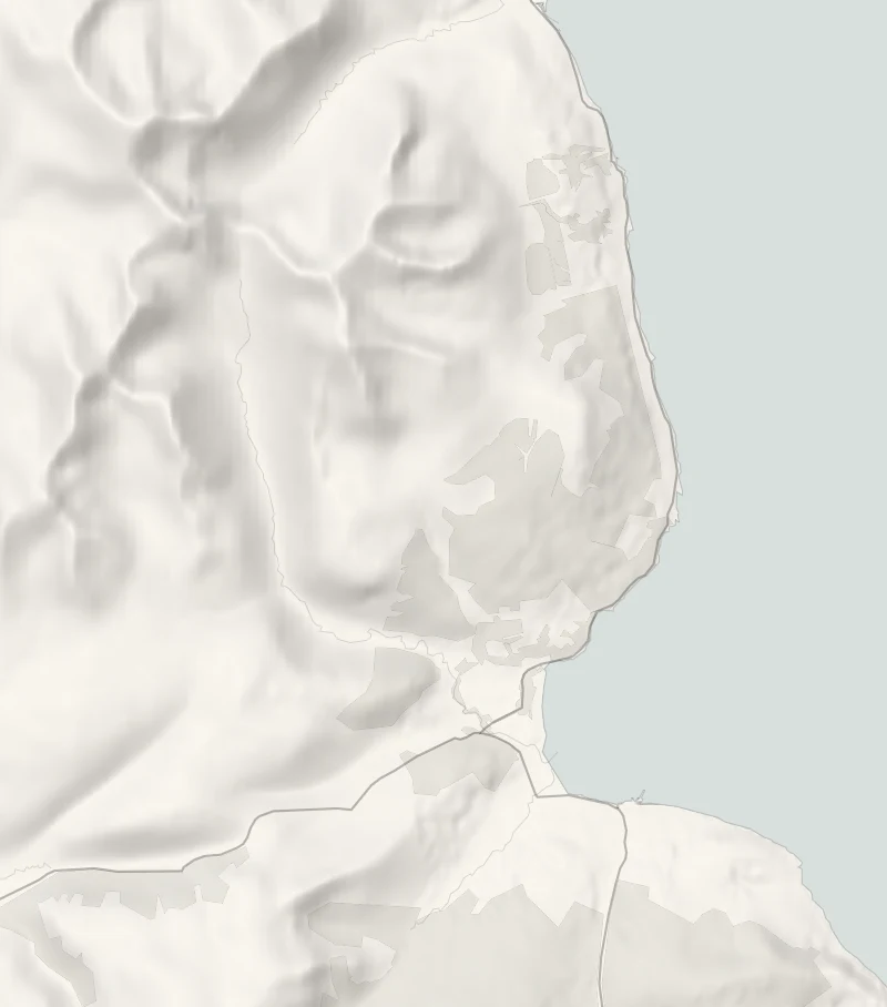
The path starts at Cladach, on the A841 north of Brodick, where there's a car park by the Wineport; the signposted path leaves to the right of it. It climbs through the castle's woods, comes out of the trees onto open moor at about 300 metres, and follows the east ridge to the top, 874 metres up. That's about six and a half miles there and back, five to six hours with a stop on top, though a fit walker can do it in under four. The last stretch is a steep scramble over granite boulders, slippery after rain and easy to lose in mist, and the ridge north of the summit is for experienced scramblers only.
Wear boots, and carry waterproofs, warm layers, food, water and a map. Pick a clear day: the evening before, read the Mountain Weather Information Service's West Highlands forecast, which covers Arran, and tell someone your plan. In an emergency dial 999 and ask for the police, then mountain rescue. In October start up by 10am to be down before dark.
Outside April to October snow and ice can lie on the top, and then it needs an ice axe, crampons and the skill to use them. Parts of the main path have been under repair, so look for notices at Cladach or ring the Arran Ranger Service on 01770 302462. Keep dogs on a lead for the livestock in the woods and the red deer on the hill. There are no toilets on the hill; the Wineport at the foot of the path has toilets and serves food every day from noon.
If it rains
Leave Goatfell for a clear day: the granite at the top is slippery in rain and easy to lose in mist. On a wet day walk the castle woods below instead, or the Fisherman's Walk along the bay.
Before you go
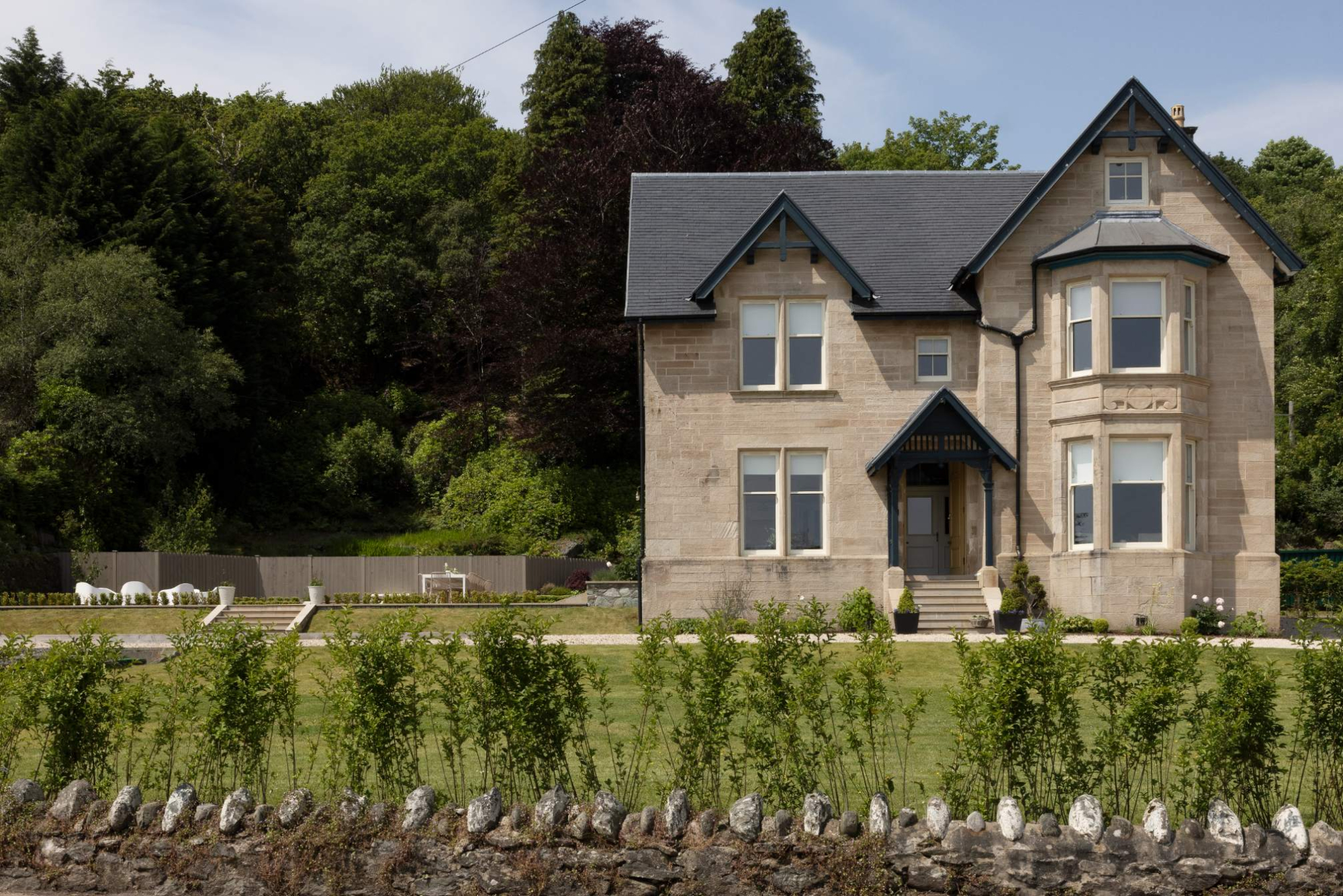
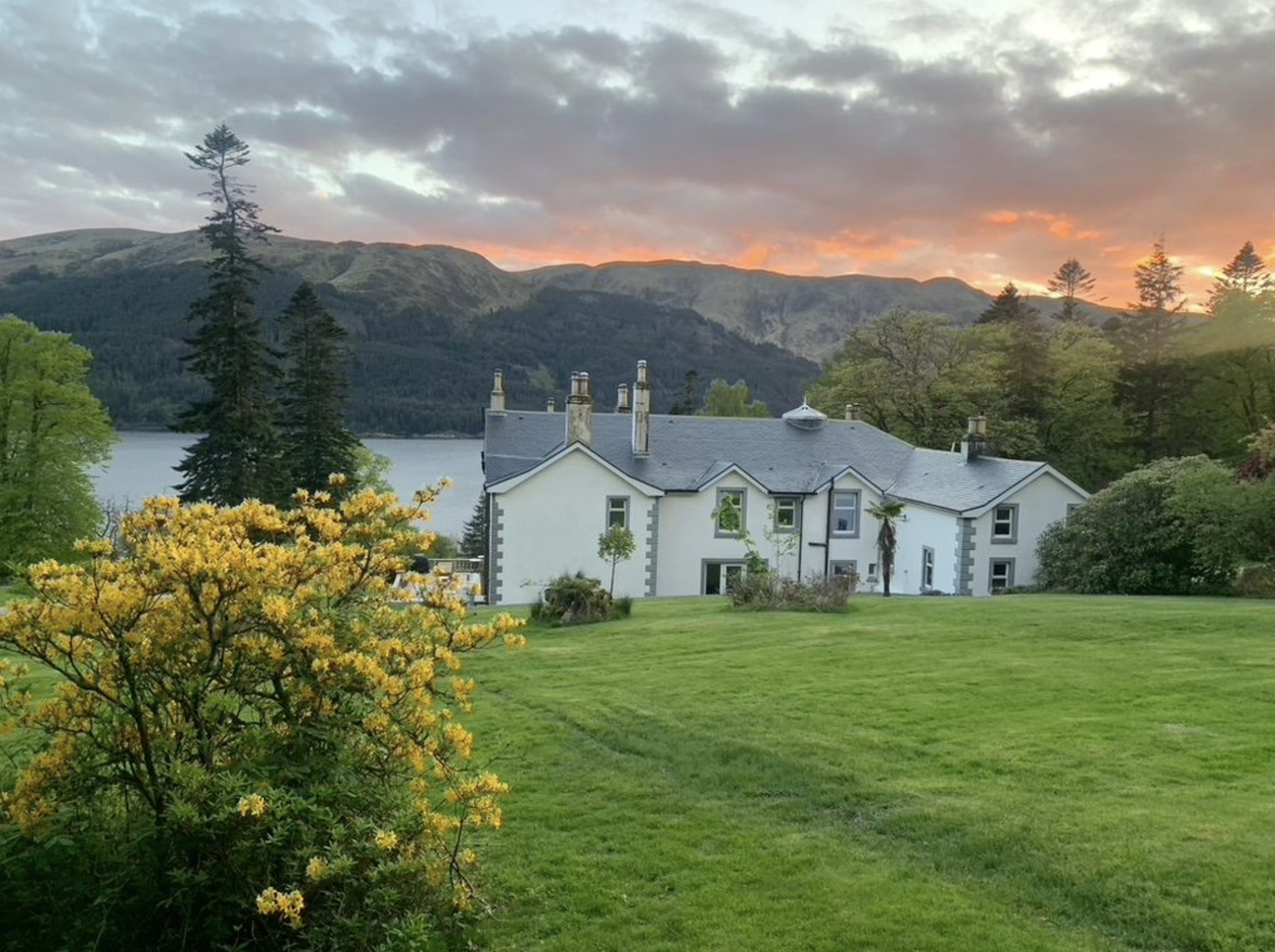
Book accommodation nearby
If you are staying over: here are ours nearest where the day starts and ends.
-large-1764155260.jpg)
Where to eat
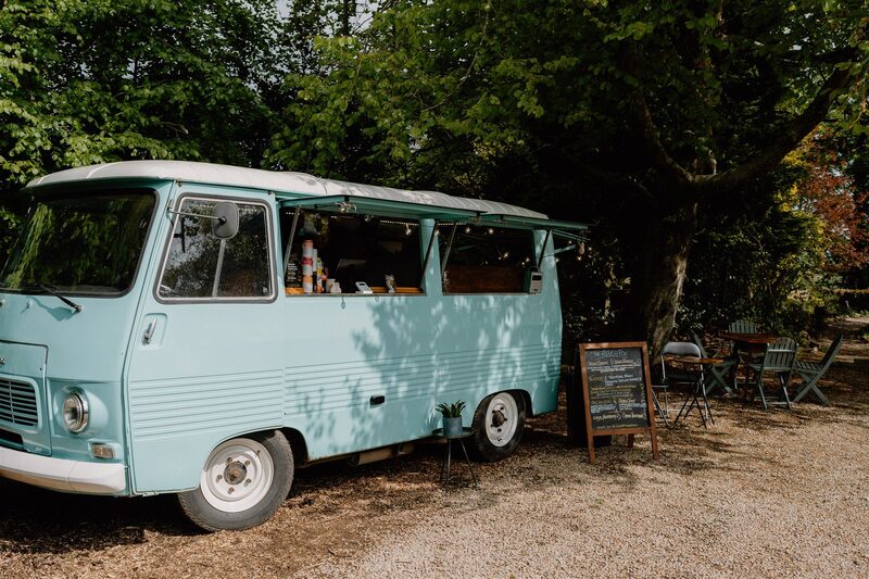
The French Fox, Brodick, a restaurant.
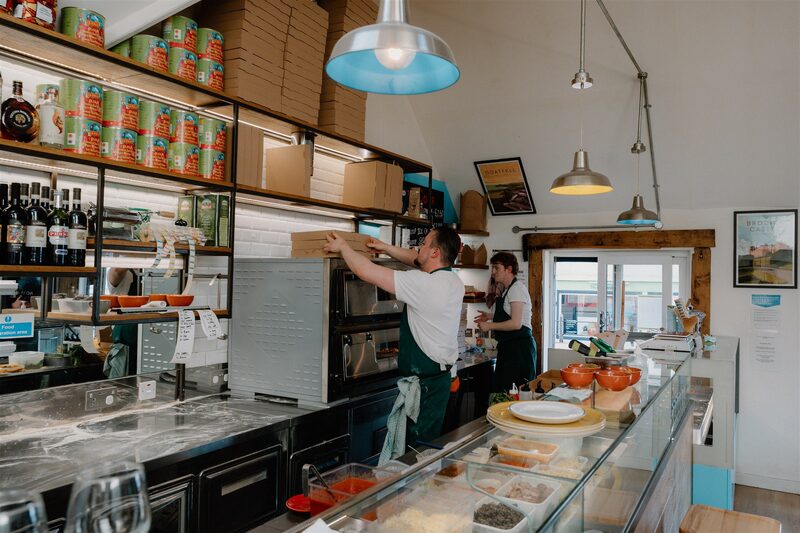
The Parlour, Brodick, a restaurant.
For further reading, before you go.