
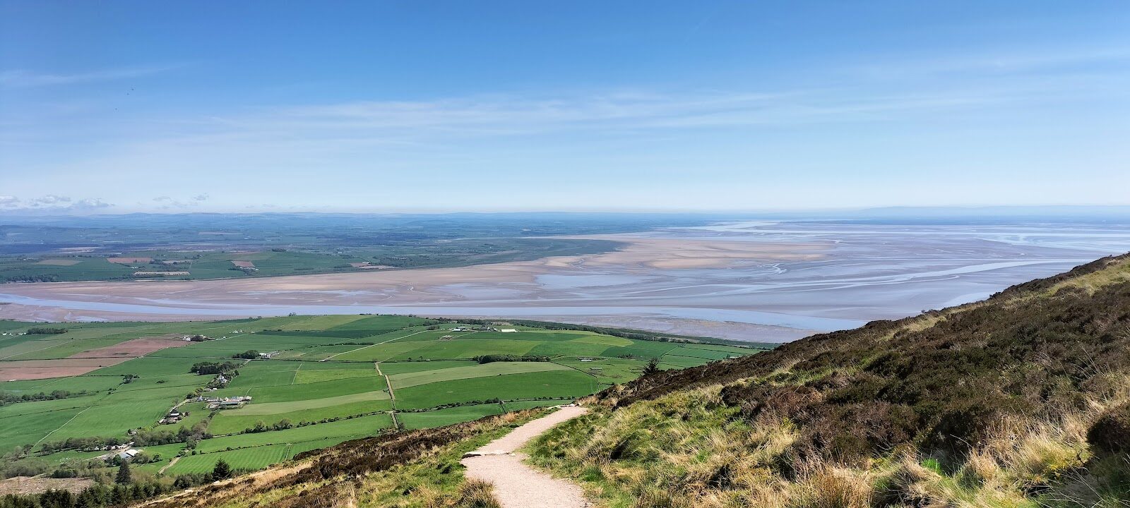
Criffel – The Solway's Big Hill
3½ miles · 3 hours · a hill · there and back
dogs welcome
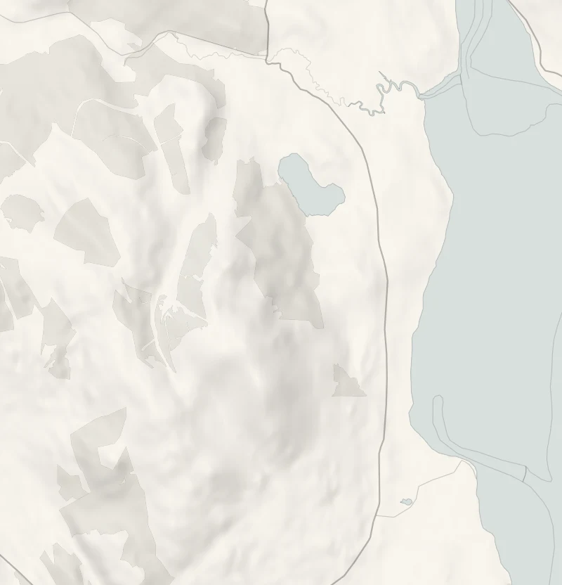
Criffel rises above New Abbey, six miles south of Dumfries, and it stands out across the Solway from the Lake District.
Where it starts
Start at the walkers' car park at Ardwall, at the end of an unsigned lane off the A710, about two and a half miles south of New Abbey.
Is it for me?
Tap who is coming, or the day you have, for the answer on this walk.
Before you go
On the path
About three hours there and back. A hill path, steep in places, through a kissing gate and a forest gate. A steep climb, best for older children used to walking.
Good to know
All year. In daylight, on a clear, settled day; from November to February set off by 11am. Keep dogs close where there are sheep. There are no toilets at the car park. In low cloud or a strong wind, save it for another day.
The walk
Criffel is climbed from Ardwall, south of New Abbey, and back down the same path: about 3.6 miles (nearly 6 km) there and back, with about 500 metres of climbing. Allow about three hours if you are used to hills. It is a steep climb and a steep descent on a built path, easy to follow, through forest and then over the open hill; its upper half, once boggy, was made new in 2020.
Criffel is granite. It formed deep underground about 400 million years ago, as the land that became Scotland ground into the land that became England, and the weaker rock that covered it has worn off since. Its granite has more in common with the rocks of the Lake District, in view across the water, than with those of central Scotland. The name is Norse, the crows' hill. Legend makes the Devil's Stane, a granite boulder on the shore near Carsethorn, a mouthful the Devil bit from Criffel and spat out.
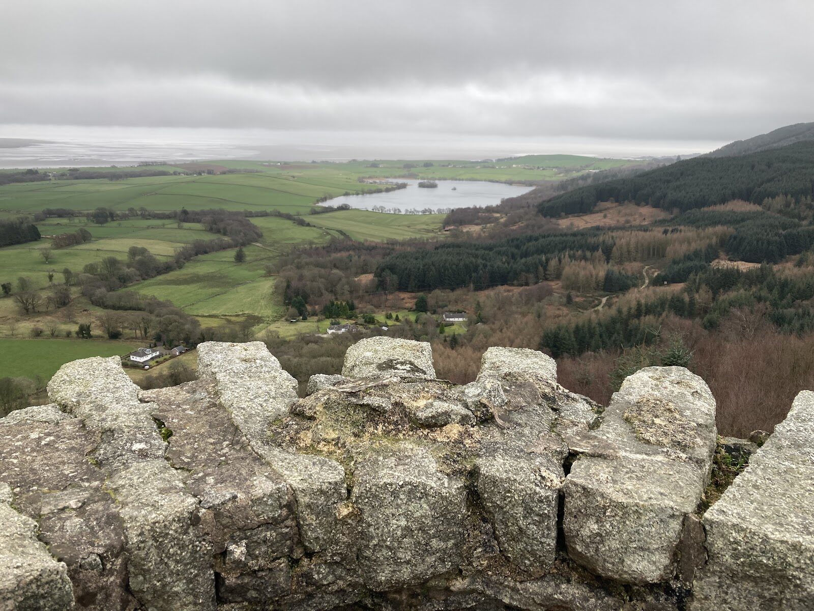
In the forest, the Craigrockall Burn runs down beside the path under spruce first planted in the 1950s. Above the trees the path climbs the open hill to the top at 569 metres, where an Ordnance Survey trig pillar stands by a big cairn, Douglas's Cairn, said to be named for the Earls of Douglas. On a clear day the Solway coast runs away on either side, with the sands of the Nith estuary below and the Robin Rigg wind farm out in the firth. Beyond rise the fells of the Lake District, Skiddaw and Blencathra among them.
The top is open and cold in a wind, so wear boots and take warm layers and waterproofs.
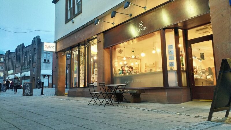
Afterwards, Abbey Cottage Tearoom in New Abbey, next to Sweetheart Abbey, does homemade soups, scones and cakes from Wednesday to Sunday, 10.30am to 4.30pm. Dogs are welcome on its patio, which looks over the abbey, and at its dog-friendly tables inside. Over Christmas and New Year, check.
If it rains
In rain or low cloud the view is gone: keep the climb for a clear, settled day.
After the walk
Coffee and cake, something to do with the rest of the day, and dinner, nearest the end of the walk first.
With the rest of the day
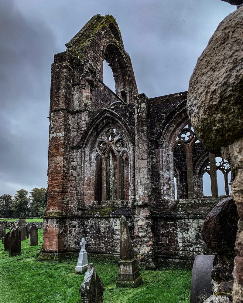 7 min by roadThings to doSweetheart AbbeyThe red sandstone ruin of a Cistercian abbey at New Abbey, founded by Lady Dervorguilla in memory of her husband John Balliol.
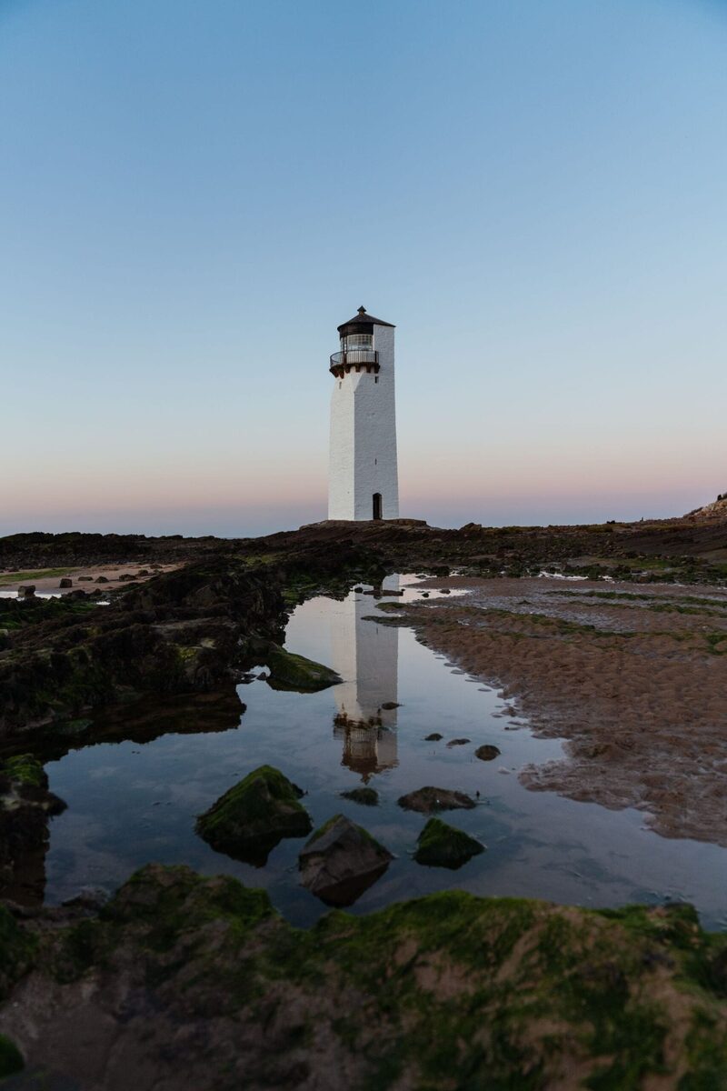 14 min by roadThings to doSoutherness LighthouseScotland's second-oldest lighthouse, a square white tower of 1749 on Southerness Point at the mouth of the Nith on the Solway.
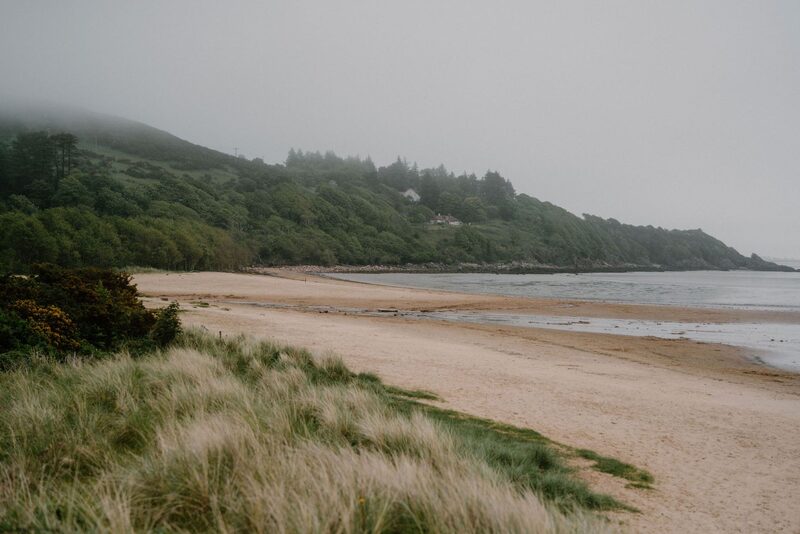 15 min by roadThings to doSandyhills BeachA sheltered bay of sand below wooded hills on the Solway coast near Dalbeattie, with a sea arch, a cave and a coastal path to Rockcliffe.
For dinner
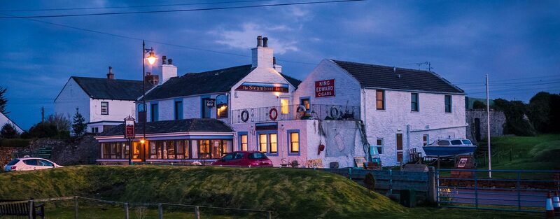
The Steamboat Inn, Carsethorn in Carsethorn, 9 minutes by road. A family-run inn in the village of Carsethorn on the Solway shore, with seafood, Sunday lunches, a beer garden and views over the Solway.
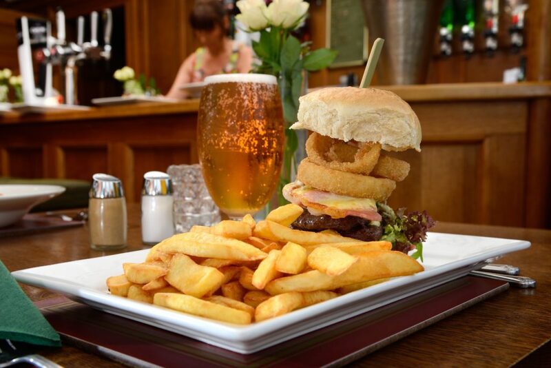
Mabie House Hotel in Dumfries, 12 minutes by road. A 17th-century country house hotel in Mabie Forest, three and a half miles from Dumfries, beside the 7stanes mountain bike trails.
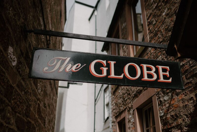
The Globe Inn, Dumfries in Dumfries, 18 minutes by road. Robert Burns's favourite inn, founded in 1610 on a close off Dumfries High Street, with his chair, his bedroom window verse, a whisky bar and a fine restaurant.
Places to stay near the walk
The places to stay nearest the walk.
None of ours is within an hour by road. The nearest, as the crow flies, is The Scullery in Yarrow, 45 miles away.
Then Wilderkin Cabin in Carlops, 58 miles away.
More walks near here
Within a short drive of the start.
Did this walk?
Tell the next person how it went. The best go on this page, with your name.
Find out more
For further reading, before you go.
Photograph by Mark HIlton via Google
Maps from OpenFreeMap © OpenMapTiles, data © OpenStreetMap contributors; heights from Mapzen's terrain tiles.