
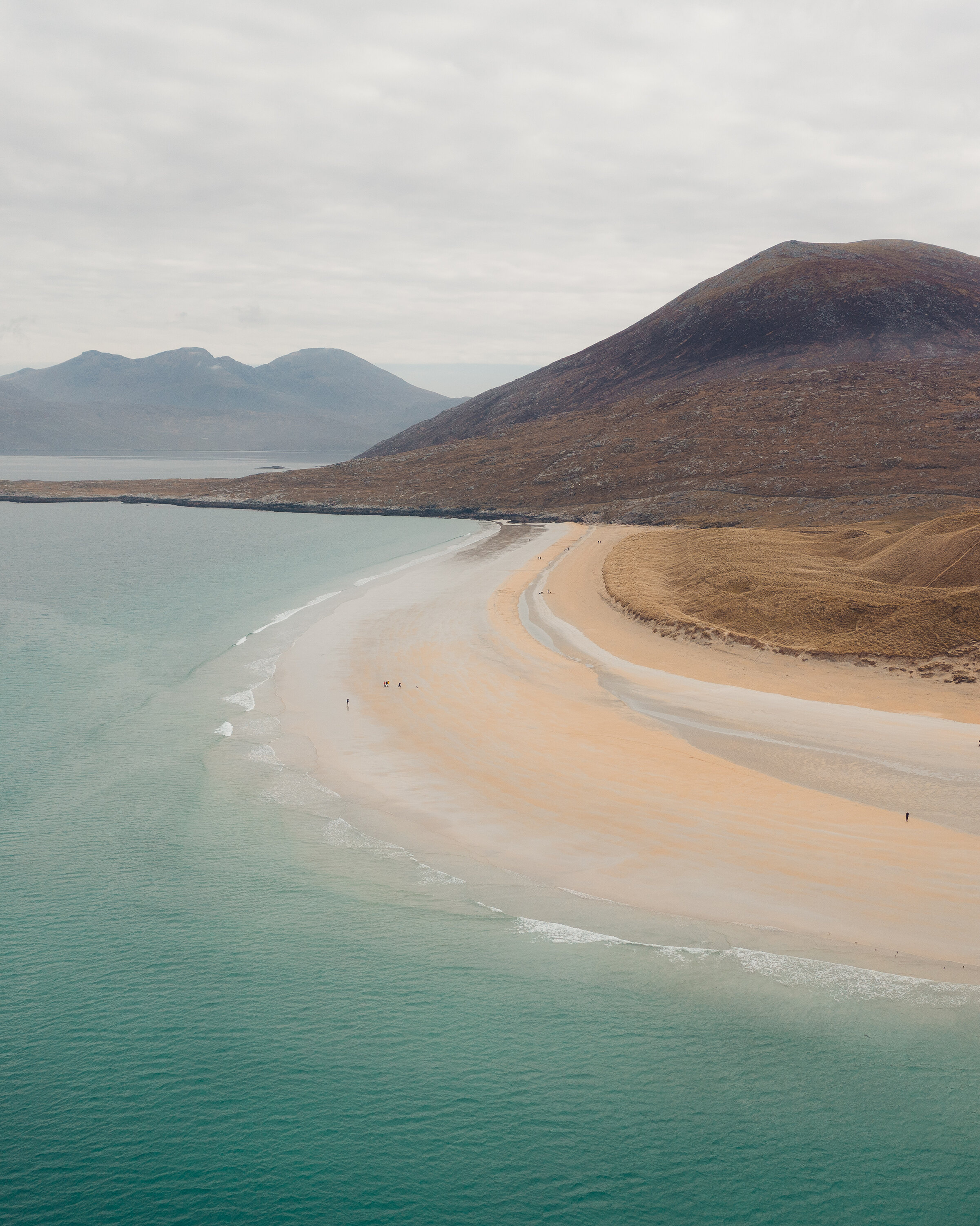
Luskentyre – The Great Sands of Harris
2¼ miles · 1 to 1½ hours
free parking · dogs on a lead · toilets
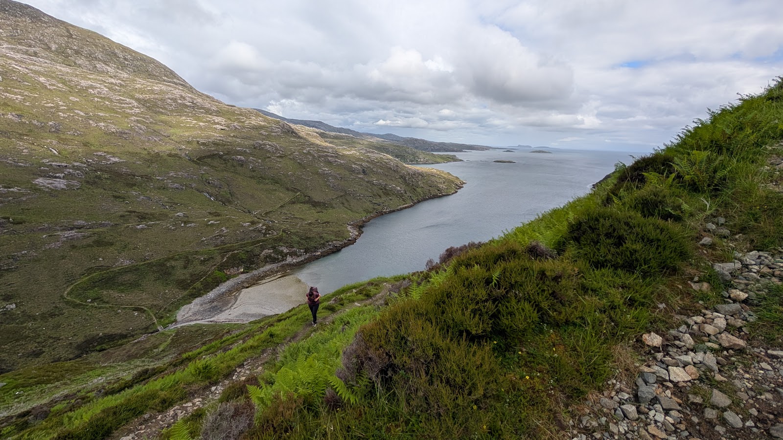
Luskentyre is the beach people picture when they think of Harris: pale sand and turquoise shallows, with the island of Taransay offshore and the hills of North Harris behind.
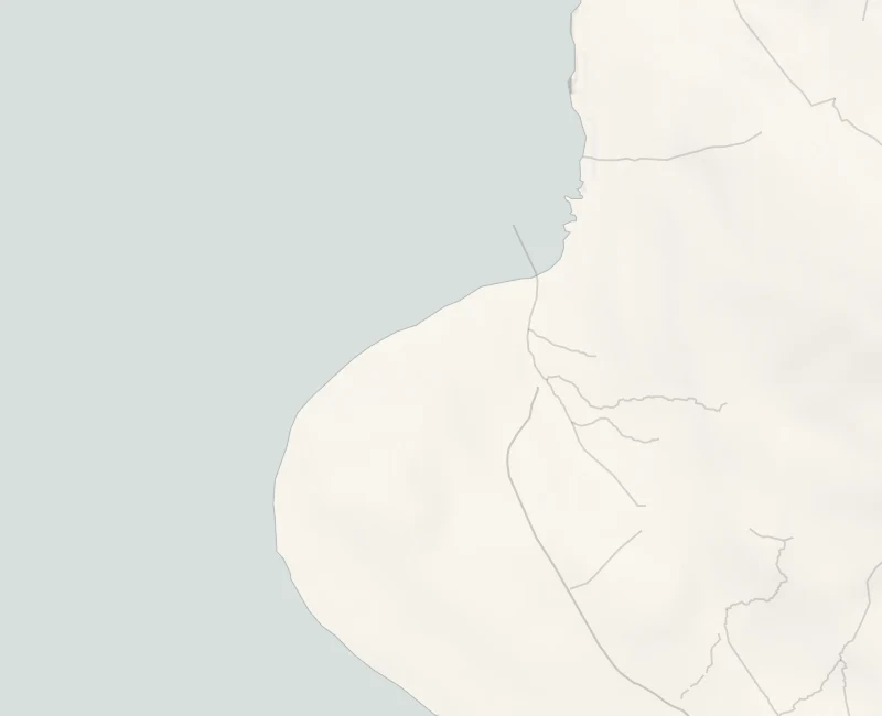
This short walk goes out through the dunes onto the sands and back by the township road, a little over two miles. The sands are tidal, so the walk is planned around the tide.
Where it starts
Start at the car park at the end of the Luskentyre road, off the A859, run by the West Harris Trust.
Is it for me?
Tap who is coming, or the day you have, for the answer on this walk.
Before you go
Getting there
No charge for a car.
On the path
An hour to an hour and a half: about 2.2 miles (3.5 km) round by one walker's record, with about 100 feet of climbing. Sand, dunes and a quiet road. A walk ruled by the tide. A sandy path through dunes, the beach itself and a quiet single-track road. Easy walking on sand: keep children off the outer flats when the tide is coming in.
Good to know
All year in daylight, on a falling tide. From November to January set off by 1.30pm. Dogs on a lead on the dunes and the machair, which are grazed, and where birds nest on the ground from April to August. Public toilets beside the car park. The tide comes in fast across the flats: keep off the outer sands and never try to cross the bay.
The walk
Park in the car park at the very end of the Luskentyre road, a single-track road that leaves the A859 and runs along the north side of the bay. It's run by the West Harris Trust, the community landowner, and there's no charge for a car. There are public toilets beside it. Look up the tide times before you leave. The sands are covered at high water and the tide comes in fast across the flats, so walk on a falling tide and don't stray far out. No landowner publishes a length for this walk.
Andrew's Walks, one walker's own record of it, puts the round at 2.2 miles with about 100 feet of climbing, and it takes an hour to an hour and a half. A path through the dunes comes out on Tràigh Rosamol, the northern end of the Luskentyre sands. Taransay lies across the sound, with the hills of North Harris to the north. The beach curves round into the great bay of Tràigh Losgaintir, where low water uncovers a huge spread of sand bars and channels reaching towards Seilebost on the far side. Don't try to cross to it. The way back is up through the dunes by the cemetery and along the quiet township road.
The dunes and the machair, the grassland behind them, are grazed, so keep dogs on a lead. There's no shelter anywhere on the sands, so dress for the wind. In winter, look on the water for great northern divers. There's no café at Luskentyre, so bring a flask. Talla na Mara at Nisabost, further along the A859, has a community café, but it posts its winter hours on its social media, so look before counting on it. From November to January, set off by 1.30pm.
If it rains
There's no shelter on the sands or in the dunes. On a wet, wild day the view from the car park at the road end is still worth the drive along the bay.
After the walk
Something to do with the rest of the day, nearest the end of the walk first.
With the rest of the day
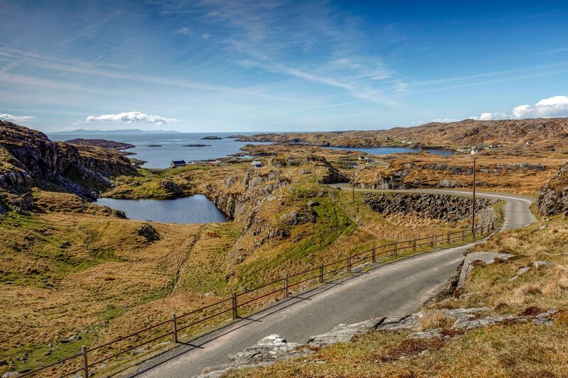 11 min by roadThings to doThe Golden RoadThe single-track road of 1897 along the rocky east coast of South Harris, through a string of tiny townships.
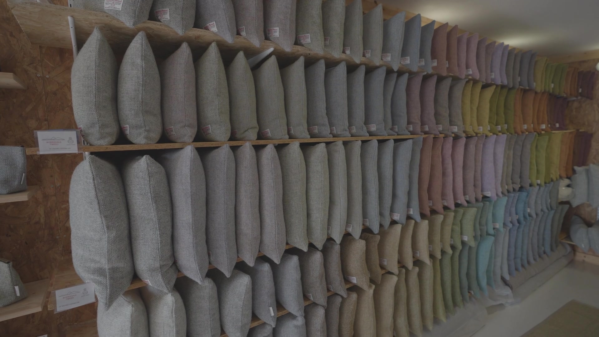 14 min by roadA shopHarris Tweed Isle of Harris, TarbertThe Campbell family's Harris Tweed shop by the ferry in Tarbert, selling the cloth by the length and coats, bags, hats and homeware made from it.
 15 min by roadA shopEssence of Harris, TarbertA family home fragrance company in Tarbert, hand-pouring soy candles, diffusers and bath products on Harris, with its flagship shop and workshop by the pier.
Places to stay near the walk
The places to stay nearest the walk.
None of ours is within an hour by road. The nearest, as the crow flies, is Harris Hideaway in Cliasmol, 4 miles away.
Then Monkstadt 1745 in Linicro, 28 miles away.
More walks near here
Within a short drive of the start.
Did this walk?
Tell the next person how it went. The best go on this page, with your name.
For further reading, before you go.
Maps from OpenFreeMap © OpenMapTiles, data © OpenStreetMap contributors; heights from Mapzen's terrain tiles.