
Findlater Castle – A Clifftop Ruin, Sandend and Old Portsoy
A few hours.
The route
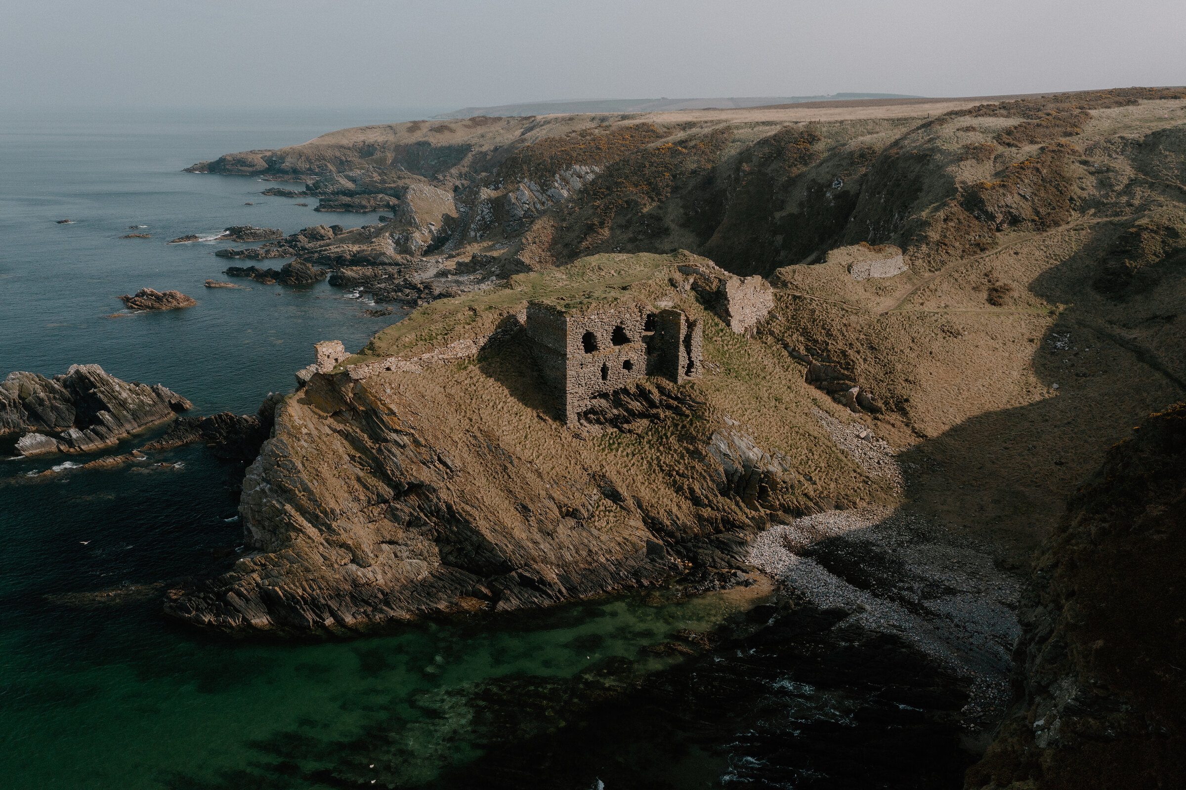
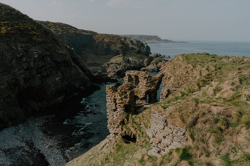
East of Cullen, the broken walls of Findlater Castle cling to a finger of rock high above the Moray Firth, a short walk from a farm car park.
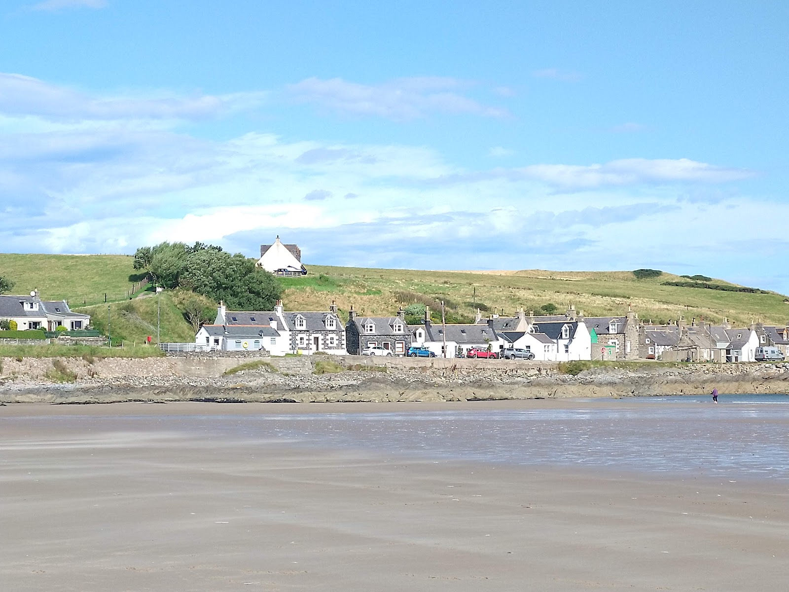
The next bay along is Sandend, a tiny old fishing village beside a long curve of sand. A few minutes further east is Portsoy, with lunch in a converted church and a harbour built of stone in 1692.
Before you go
Book accommodation nearby
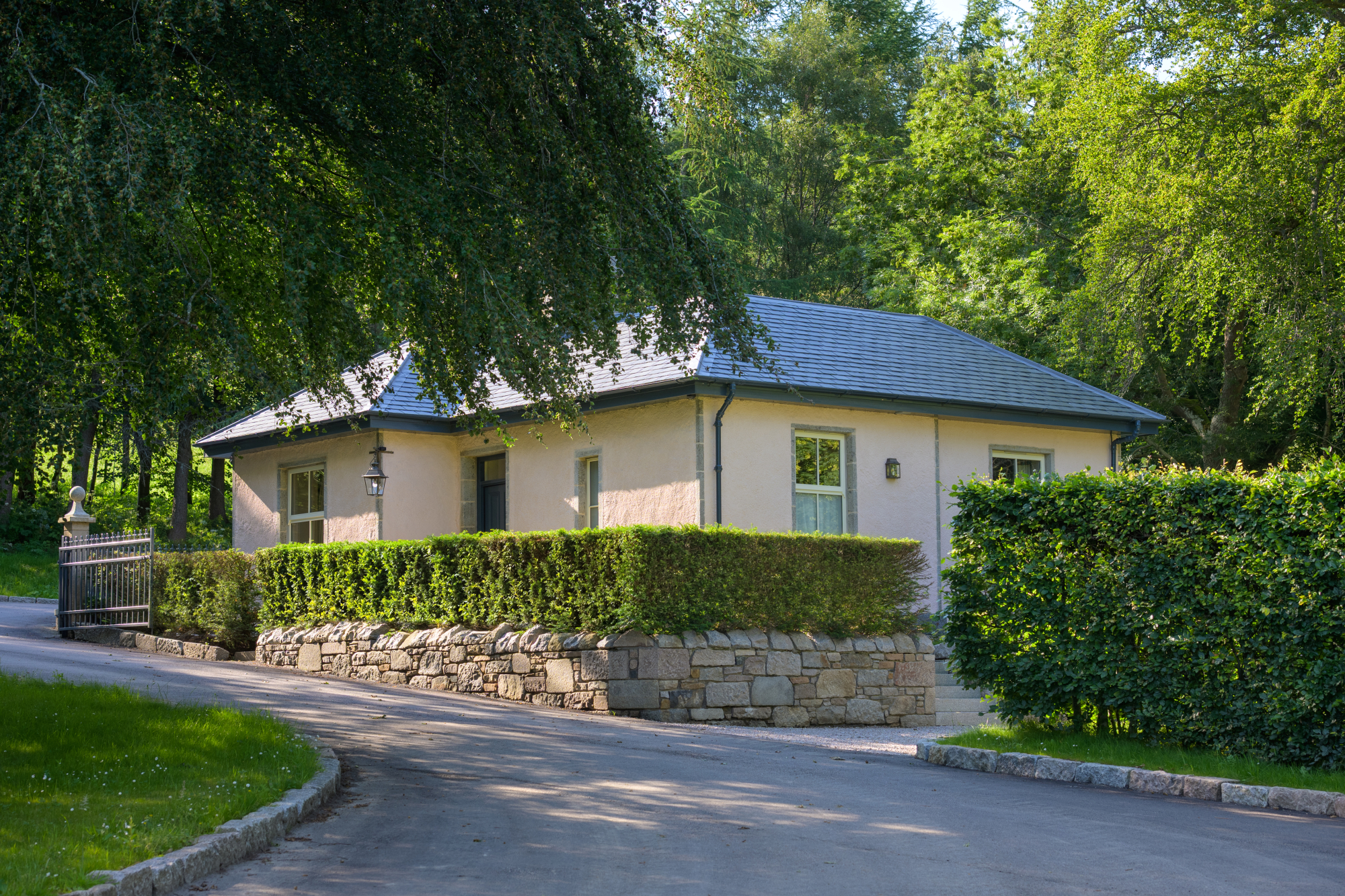
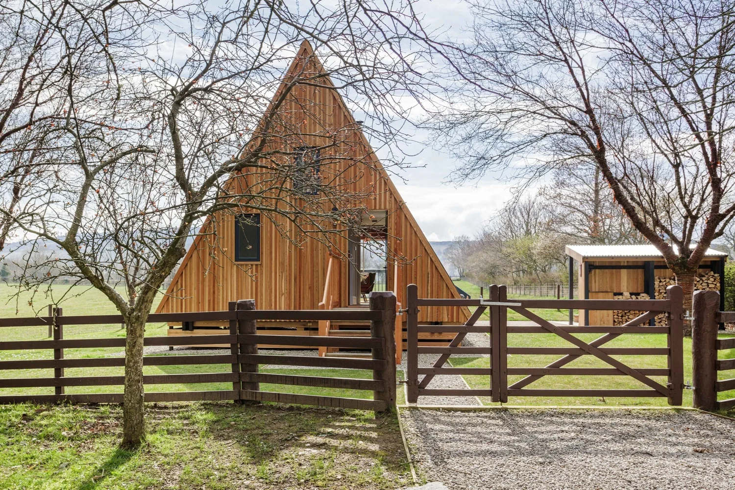
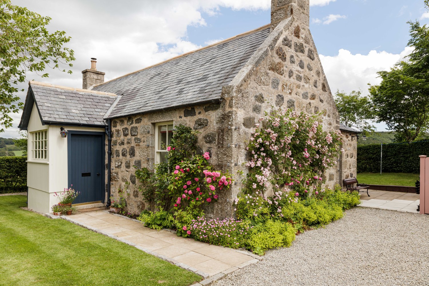
If you are staying over: here are ours nearest where the day starts and ends.
Book lunch at Aspire on its website or on 01261 842983, for about 12.30pm.
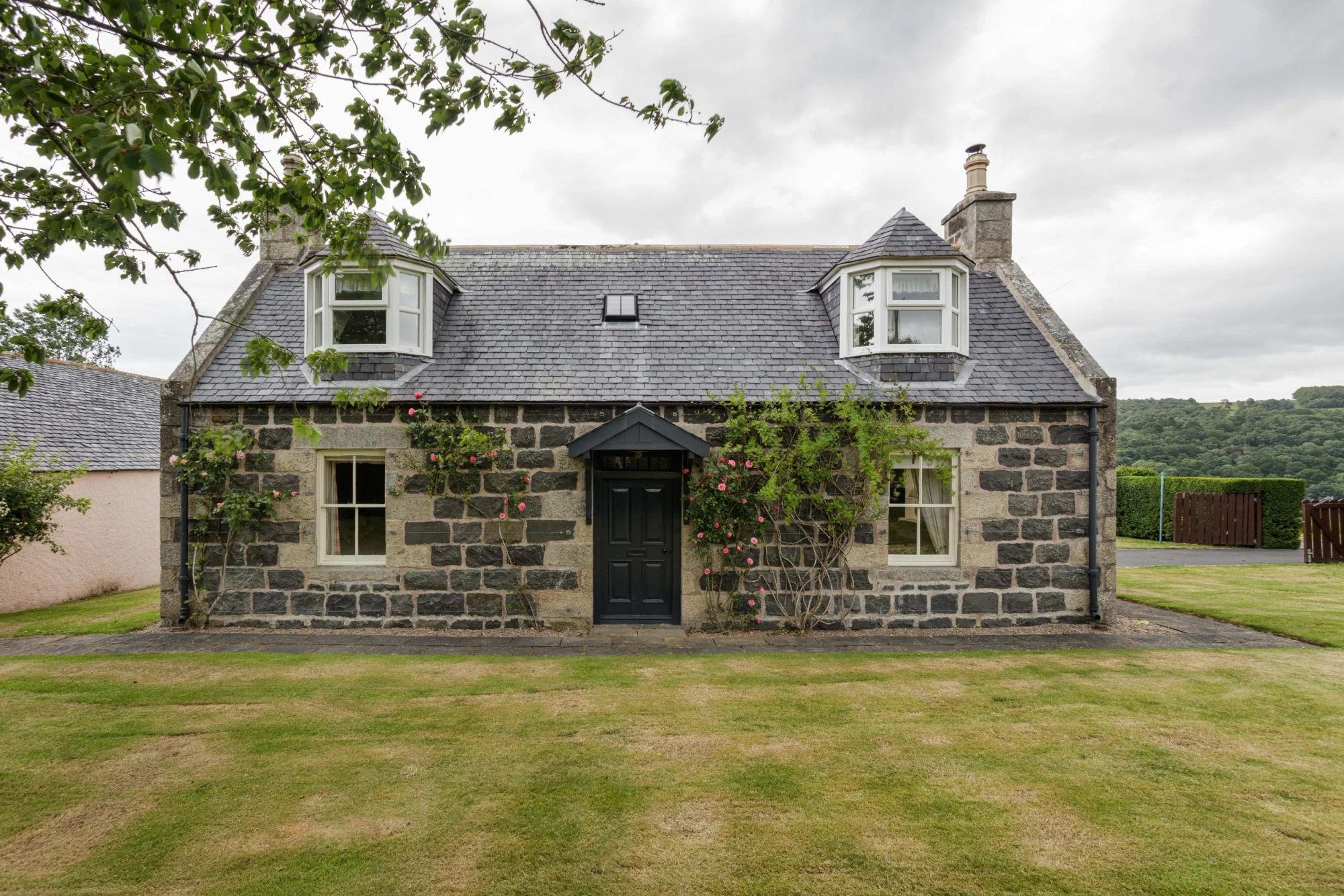
The day
Sandend
A morning along the cliffs and bays between Cullen and Portsoy: a ruined castle on its headland, a fishing village with its beach, then lunch in Portsoy and a walk down to its old harbour.
About four hoursAbout 2.5 miles on foot
Findlater Castle
An attraction
Findlater Castle stands on a narrow spur of rock between Cullen and Sandend, with cliffs on three sides. Brown signs lead north off the A98 to a small, informal car park by Barnyards of Findlater farm, and from there a grassy track runs past the old doocot to a viewpoint above the ruin, about 10 minutes' walk. The doocot is a beehive-shaped dovecote with around 700 nesting boxes inside, kept for pigeons, and so for fresh meat and eggs through the winter. The castle was first recorded in 1246, and the King of Norway's men held it for a time in the 1260s. Sir John Sinclair rebuilt it in the 1300s on the pattern of his family's Rosslyn Castle, and the Ogilvies later left it for a newer house at Cullen. Locals say it 'Finnlitter'. Enjoy it from the viewpoint: the walls are unstable and the cliffs steep and crumbling, so keep well back from the edge, leave the steep path down to the beach alone, and keep dogs on a lead over the farmland.
3 min by car
Sandend Beach
An attraction
It's 3 minutes' drive east on the minor road to Sandend, where the beach car park is on Seaview Road at the village end of the bay. Sandend's harbour dates from the 1800s, and the oldest cottages, some of them end-on to the sea, cluster round it; the village itself was well established by the early 1600s. From the harbour the sand runs about half a mile east to the mouth of the Burn of Fordyce, and surfers use the bay. Walk out along it as far as suits and back. There are public toilets in the village.
6 min by car
Aspire
Lunch
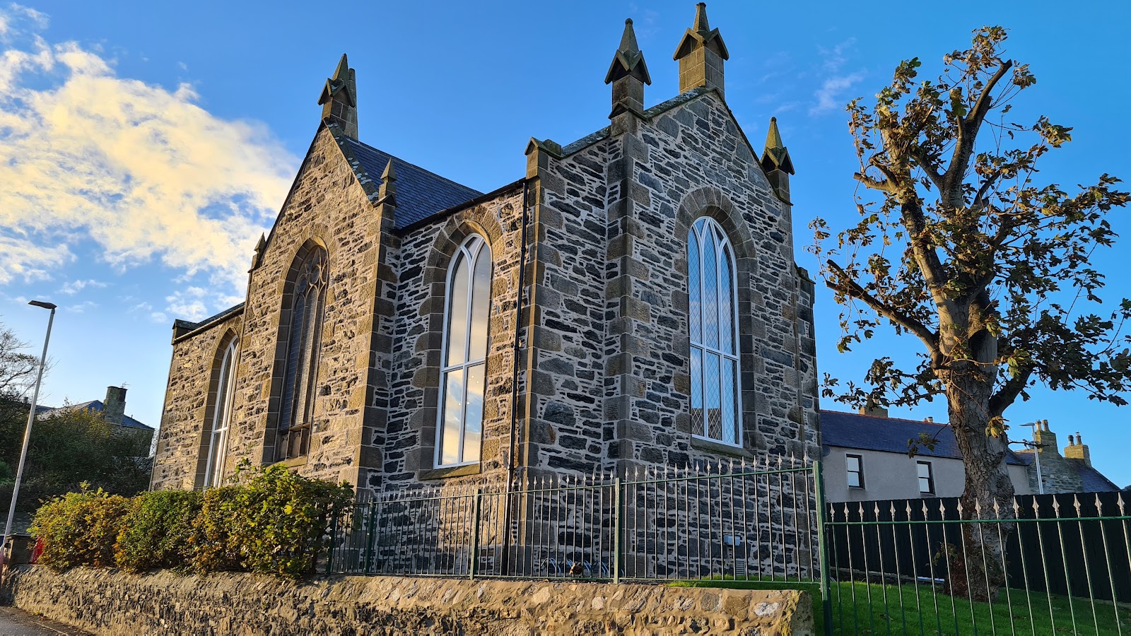
Portsoy is 6 minutes' drive on along the A98. Park free in the Square car park, then walk about 3 minutes up South High Street to Aspire on Seafield Terrace, a family-run restaurant inside a mid-nineteenth-century church. Lunch is served from noon to 2.30pm, Wednesday to Sunday: home cooking from local produce, with vegan and gluten-free choices, a children's menu, and Ovenbird coffee with scones and traybakes. Book a table on its website or on 01261 842983. Only assistance dogs may go inside.
7 min on foot
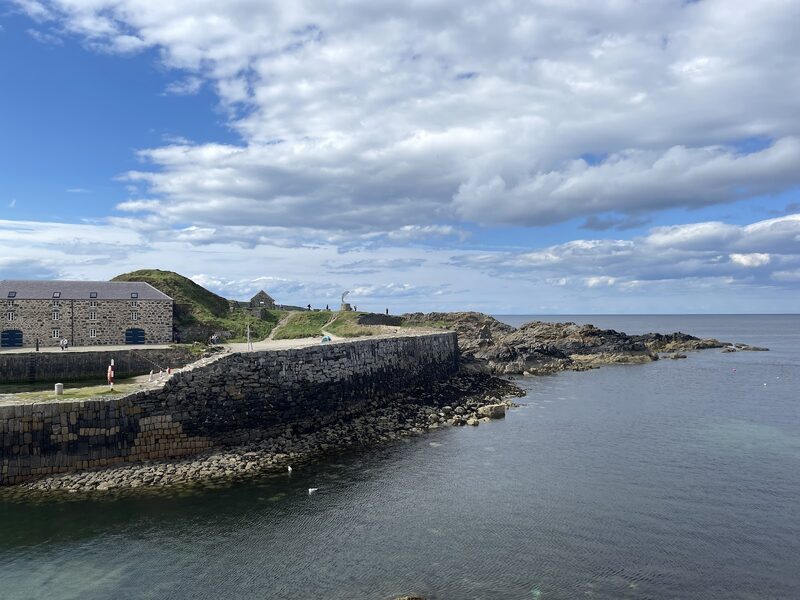
Portsoy's old harbour
After lunch, it's a 7-minute walk down the High Street to the old harbour. Sir Patrick Ogilvie, the Laird of Boyne, rebuilt it entirely in stone in 1692. The big stones of its breakwater were set upright, thought to make them harder for the sea to wash out, and most of what you see is still his harbour. Several of the buildings round it date from the end of the 1600s or the early 1700s. Portsoy marble, a green serpentine from a quarry west of the town, is said to have gone into fireplaces at Versailles. It's still made into jewellery and keepsakes locally, and the Portsoy Marble shop on Shorehead opens Friday to Sunday, noon to 4pm, from November to March. The Square and the car are a few minutes back up the hill.
If it rains
This is a fair-weather morning on cliffs and sand. On a wet day, keep to the viewpoint at Findlater and leave the field paths if they are sodden, look at Sandend's harbour from the car park, and give more time to lunch at Aspire, which is all indoors.
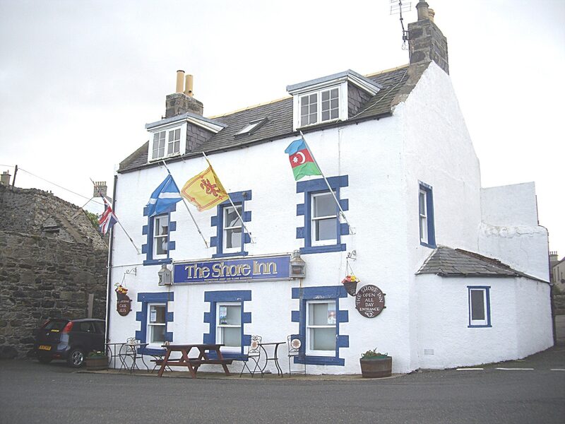
The Shore Inn, a bar in Portsoy.
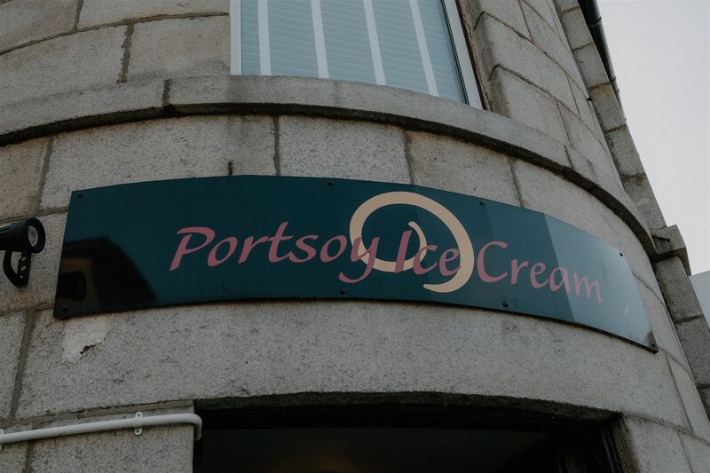
Portsoy Ice Cream, a café in Portsoy.
Make it a weekend
More days out in Aberdeenshire.
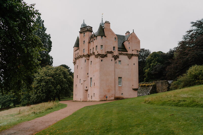
Photographs by Niall Stack, Aspire Restaurant and David Buck via Google
Maps from OpenFreeMap © OpenMapTiles, data © OpenStreetMap contributors; heights from Mapzen's terrain tiles.