
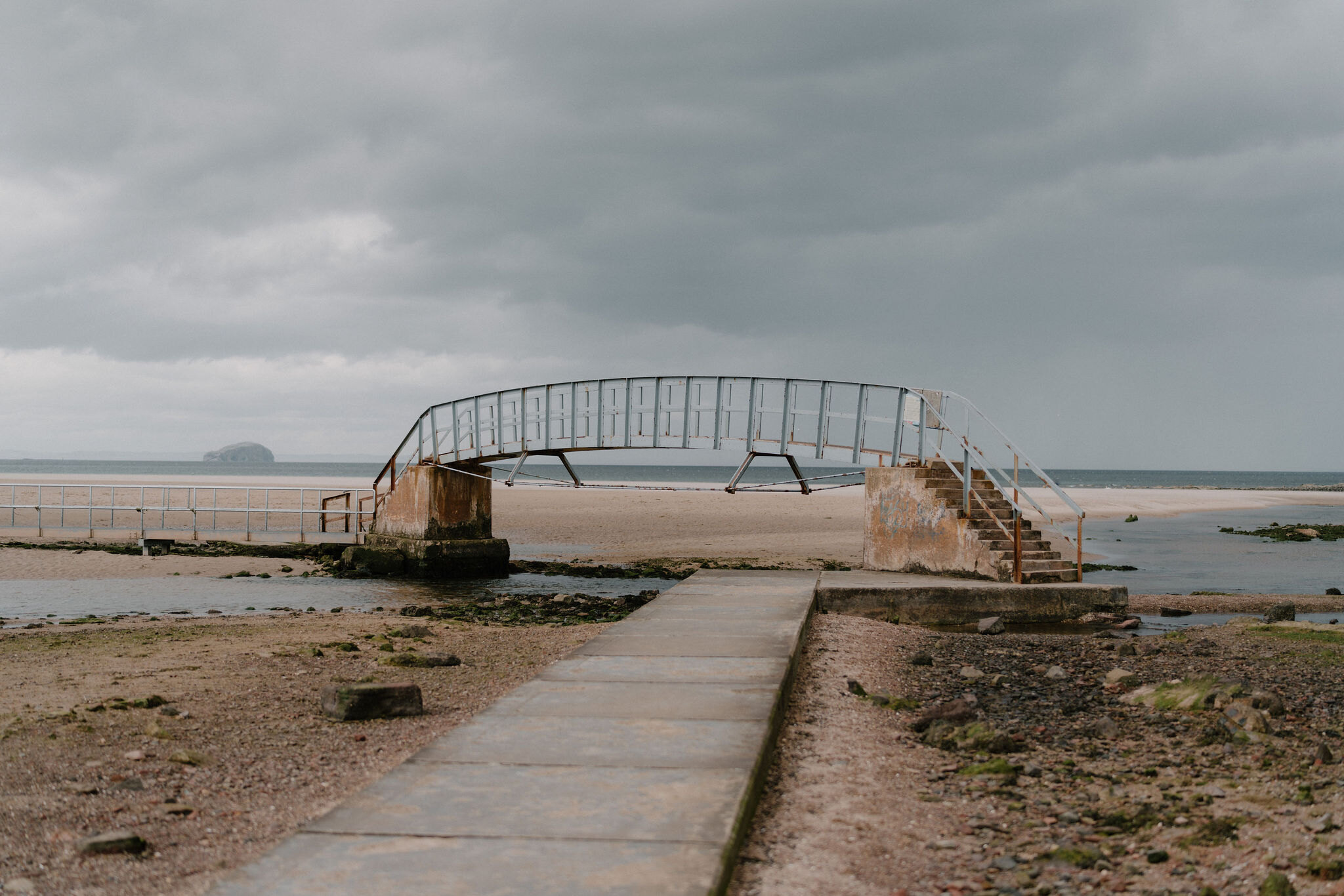
Belhaven Bay to Dunbar – Along the Clifftop Path
3 miles · 2 hours · there and back
£3 parking · dogs on a lead · toilets
Belhaven Bay is a great sweep of golden sand on the edge of Dunbar, famous for a little footbridge that stands alone in the water when the tide is in.
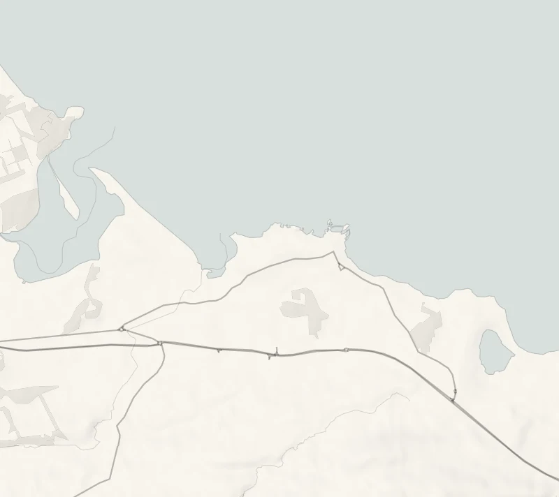
From the bay a clifftop path runs along the shore to the town's old harbours, with the Bass Rock out to sea for company. It's two and a half kilometres each way and a fine way to arrive in Dunbar.
Is it for me?
Tap who is coming, or the day you have, for the answer on this walk.
Before you go
Getting there
Parking is £3 a day by pay and display or RingGo, charged 8am to 4pm from October to March and 8am to 6.30pm from April to September; the ticket is good at any East Lothian coastal car park that day. No parking between 11pm and 4am.
On the path
About two hours: 2.5 km, or a mile and a half, each way between Belhaven Bay and Dunbar harbour, 45 minutes each way, with time at the harbour. Mostly well surfaced paths, grassy tracks and a concrete promenade, with several flights of steps. A big beach at one end and harbours at the other. Keep children close near the cliff edge; there are a good many steps.
Good to know
All year in daylight. The Bridge to Nowhere can be crossed at low tide only. From November to January, set off by 1pm. At the Belhaven Bay car park, with accessible toilets; public toilets in Dunbar too. The Bridge to Nowhere at Belhaven Bay can be crossed at low tide only. Take care near the cliff edge and beside the golf course.
The walk
This is an out-and-back clifftop walk from the Belhaven Bay car park on Shore Road to Dunbar's harbours and back, 2.5 km (a mile and a half) each way. Visit East Lothian allows 45 minutes each way, so about two hours with time at the harbour. The ground is a mix of surfaced path, grass and a concrete promenade, with several flights of steps. The trail's own page, from Visit East Lothian, has the route notes.
Belhaven Bay comes first, a huge beach of golden sand backed by dunes and salt marsh, looking over the Tyne estuary, the Firth of Forth and the Bass Rock. Cormorants, eider ducks, gulls and waders can be watched here. At the near corner stands the Bridge to Nowhere, a footbridge over the burn that runs out across the sands. At low tide you can cross it onto the sands; at high tide the sea surrounds it and it is left standing on its own, which is how it got its name.
The path then runs past Winterfield golf course and along the Baird Promenade, paid for and given to the town by the Baird family in 1893. Take care near the cliff edge and beside the golf course, and keep dogs on a lead there.
It ends at Dunbar's two harbours, Cromwell and Victoria. By the water is the Battery, built in 1781 on the columnar basalt of Lamer Island to defend the town from privateers. Beyond them are the broken red walls of the castle, which Black Agnes, Countess of Dunbar, held against the Earl of Salisbury for five months in 1338. The castle is home to a large colony of kittiwakes, and the ground it stands on was an Iron Age promontory fort before it. John Muir, who was born in Dunbar, has a birthplace museum on the High Street.
There are toilets at the car park, with accessible ones, and in Dunbar. The High Street, a few minutes up from the harbour, has cafés, pubs and shops.
If it rains
The clifftop is open to wind and rain off the firth. On a rough day stay at the Belhaven end, watch the surf from the car park side, and keep the cliffs for calmer weather.
After the walk
Coffee and cake, something to do with the rest of the day, and dinner, nearest the end of the walk first.
Straight after
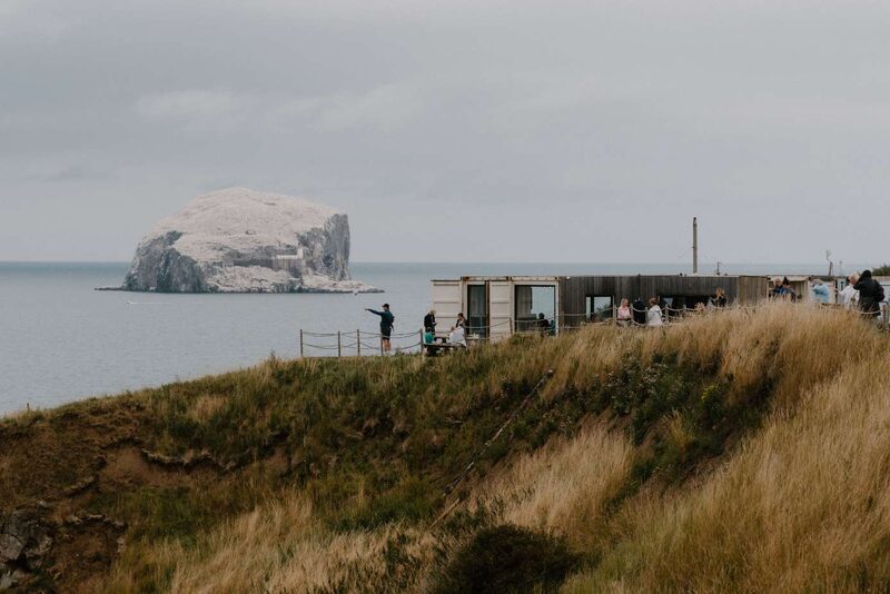 17 min by roadA caféDriftA clifftop cafe built from shipping containers on a farm near North Berwick, with views over the Firth of Forth to the Bass Rock.
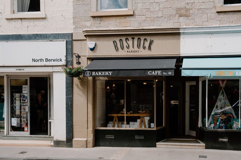 21 min by roadA caféBostock BakeryAn artisan bakery on North Berwick High Street, known for its sourdough and French-style pastries, baked fresh each morning.
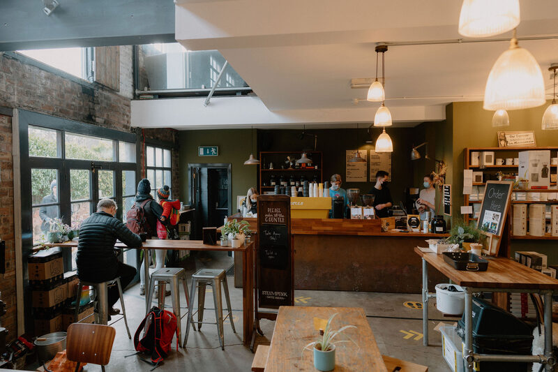 21 min by roadA caféSteampunk CoffeeA coffee roastery and coffee bar in an old joinery warehouse in North Berwick, roasting single-origin coffees on site, open every day.
With the rest of the day
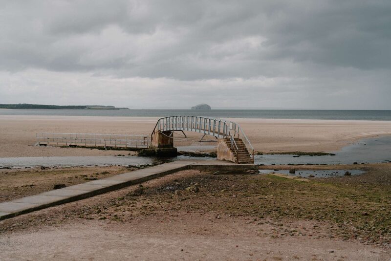 0 min by roadThings to doBelhaven BridgeA footbridge over a stream on Belhaven Bay near Dunbar, known as the Bridge to Nowhere because at high tide it stands alone in the sea.
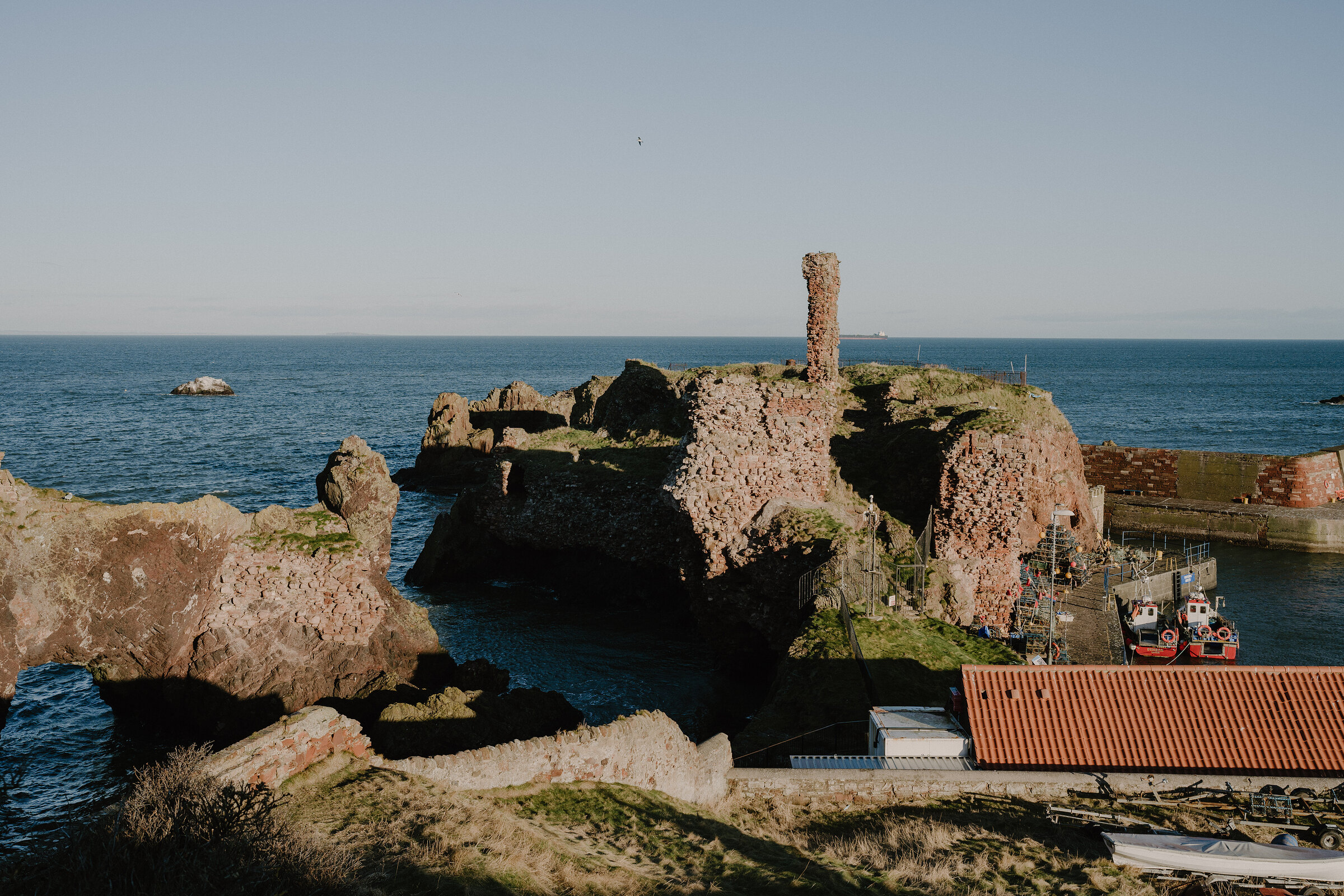 4 min by roadThings to doDunbar CastleThe red sandstone ruins of a castle on the rocks above Dunbar harbour, held by Black Agnes against a siege in 1338 and now home to kittiwakes.
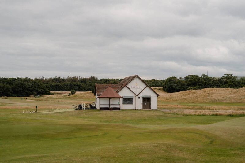 8 min by roadThings to doDunbar Golf CourseChampionship links on a narrow strip of shore at Dunbar, between the old Broxmouth deer park wall and the sea, with the Bass Rock on the horizon.
For dinner
The Creel, Dunbar in Dunbar, 3 minutes by road. A small restaurant by Dunbar harbour cooking local seafood and East Lothian produce, much recommended by the town's own people.

Alandas Gelato in North Berwick, 20 minutes by road. An award-winning gelato shop in North Berwick, a short walk from the beach, making gelato each day with cream and milk from East Lothian.
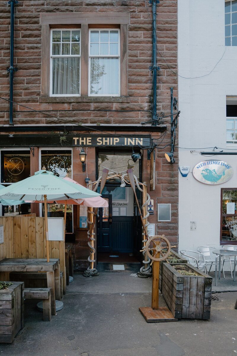
The Ship Inn in North Berwick, 20 minutes by road. A pub and restaurant on Quality Street in North Berwick, a few steps from the harbour, serving seafood and home cooking every day.
Places to stay near the walk
Our places to stay nearest the start, by road.
An advert · Cockburnspath
Blue Cabin by the Sea
A blue timber cabin for four at the top of the beach at Cove Harbour, near Cockburnspath, reached through a tunnel cut in the rock in 1752.
Sleeps 4 · 18 minutes by road
See Blue Cabin by the Sea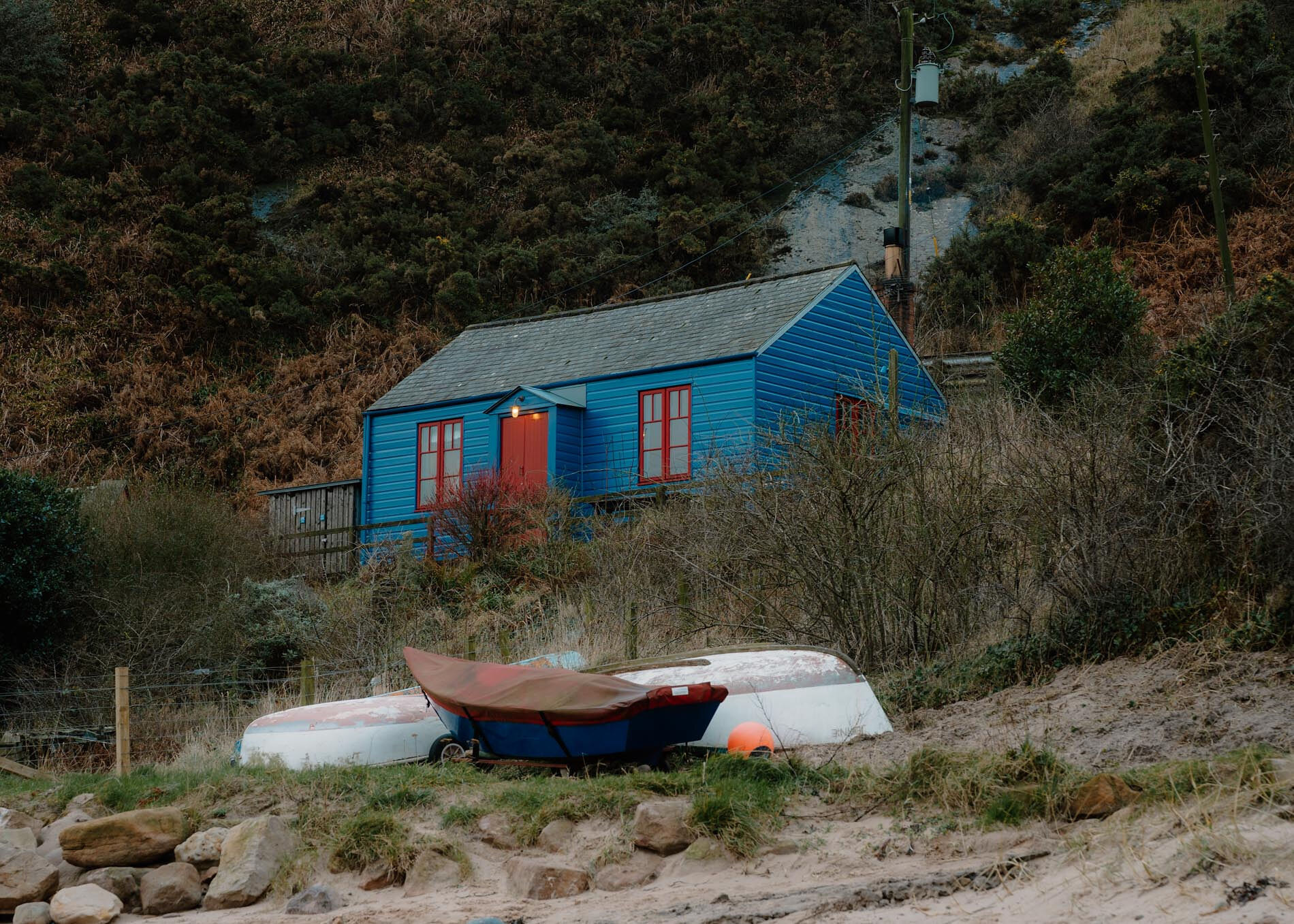
More walks near here
Within a short drive of the start.
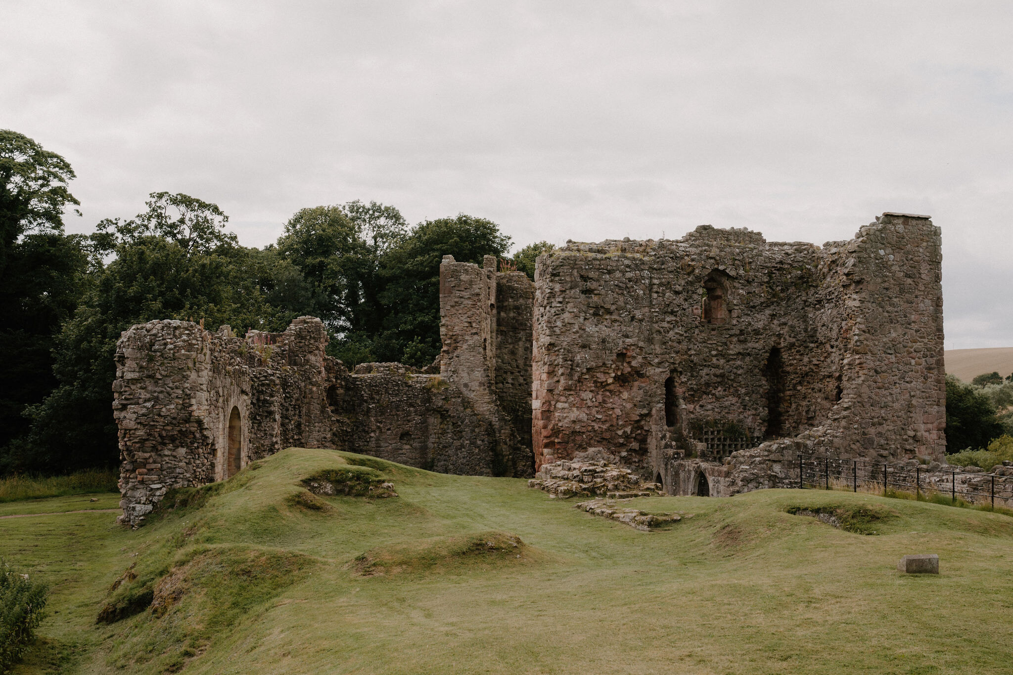 10 min by roadA walkEast Linton3 miles, an hour and a half or so
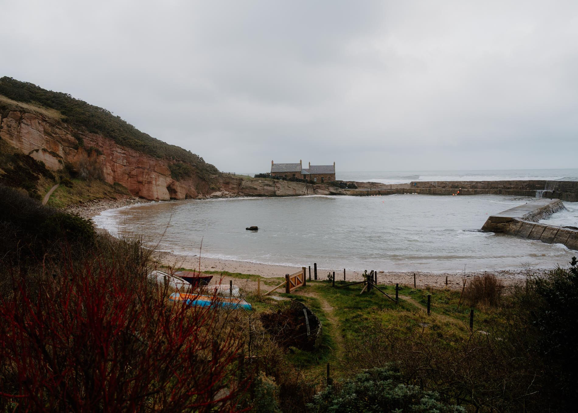 16 min by roadA walkCove and Pease Dean3½ miles, about two hours
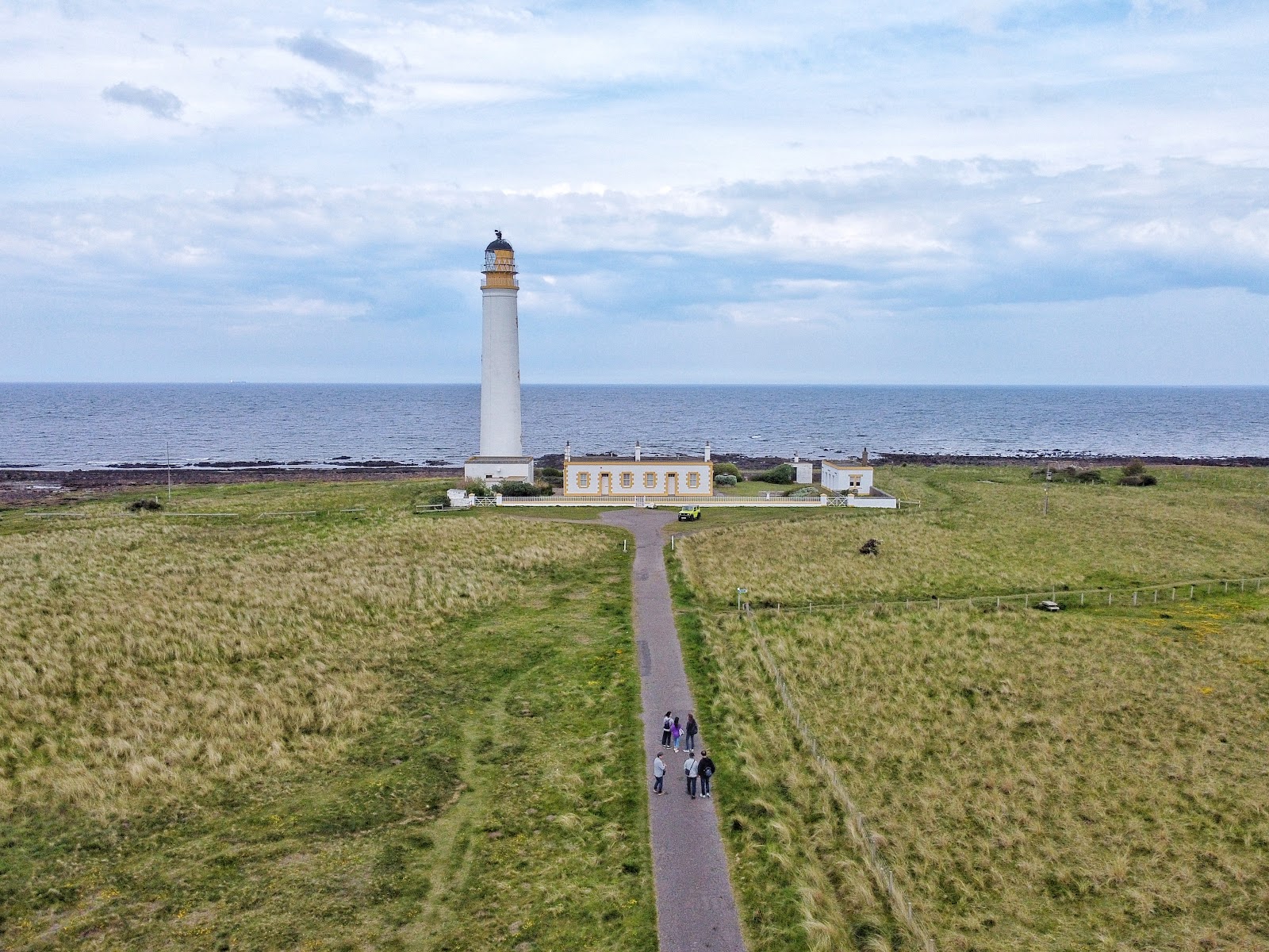 10 min by roadA walkBarns Ness2¾ miles, about three hours
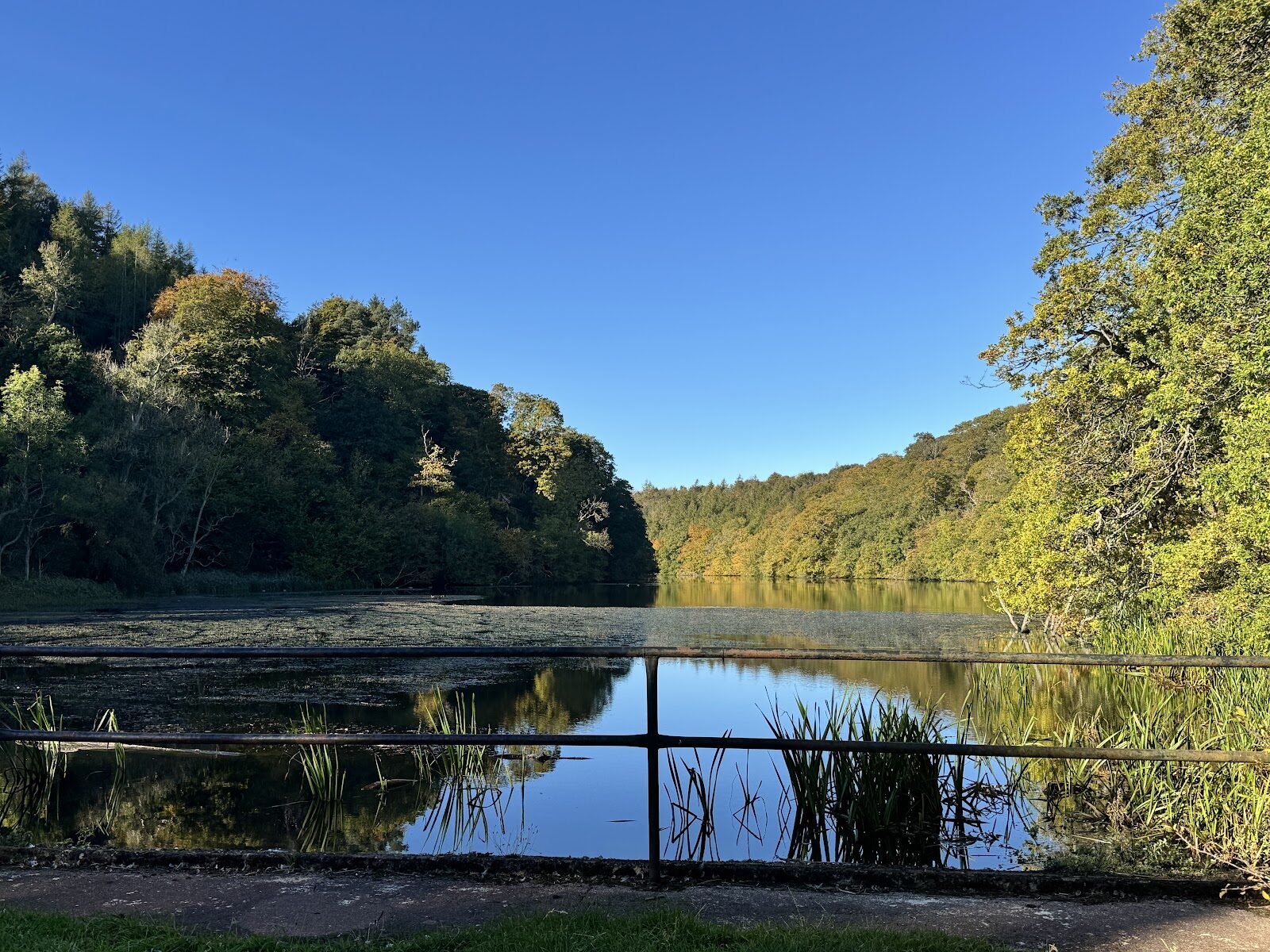 15 min by roadA walkPressmennan WoodAbout two hours
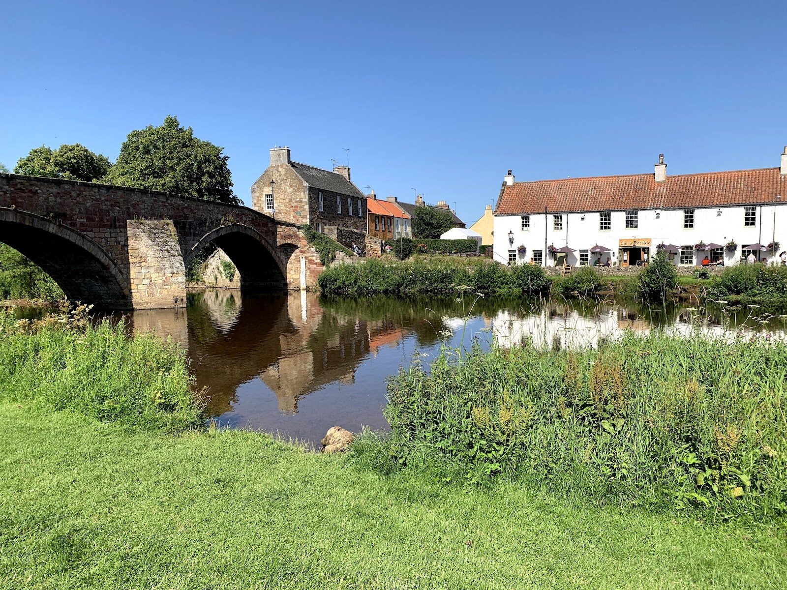 17 min by roadA walkHaddington2 miles, about an hour
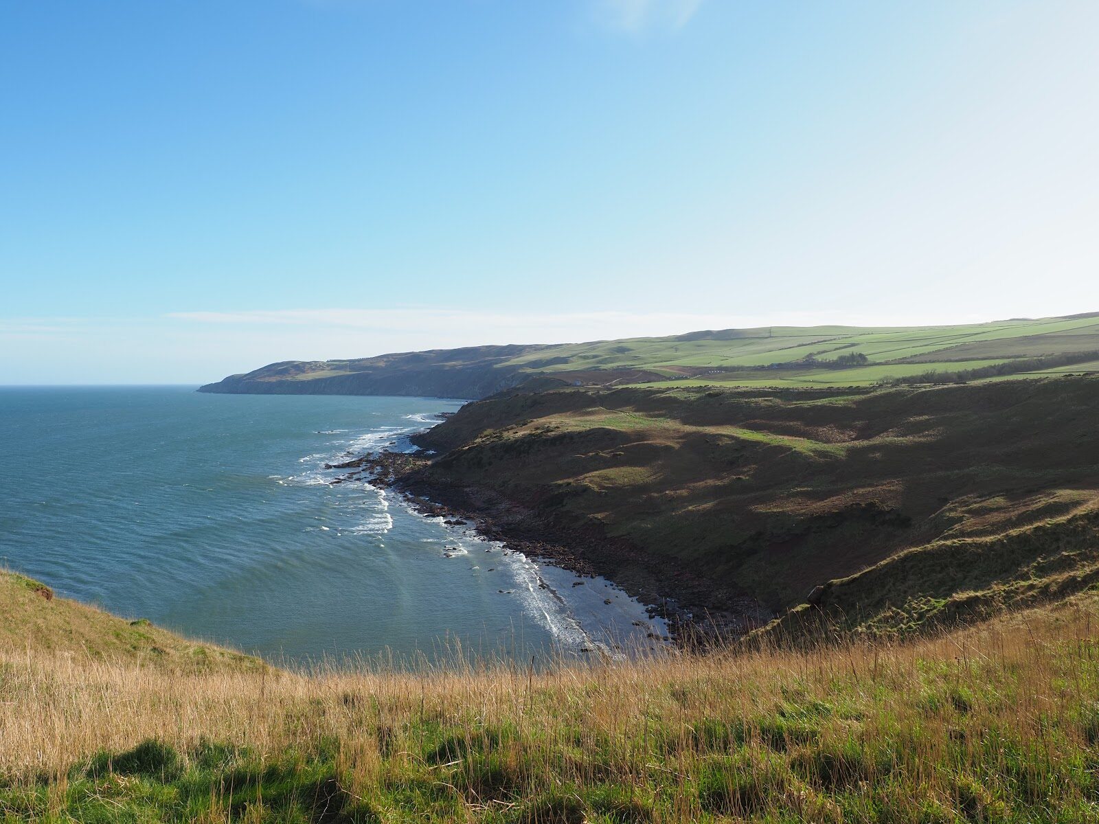 20 min by roadA walkSiccar Point3 miles, about two hours
Did this walk?
Tell the next person how it went. The best go on this page, with your name.
For further reading, before you go.
Maps from OpenFreeMap © OpenMapTiles, data © OpenStreetMap contributors; heights from Mapzen's terrain tiles.