
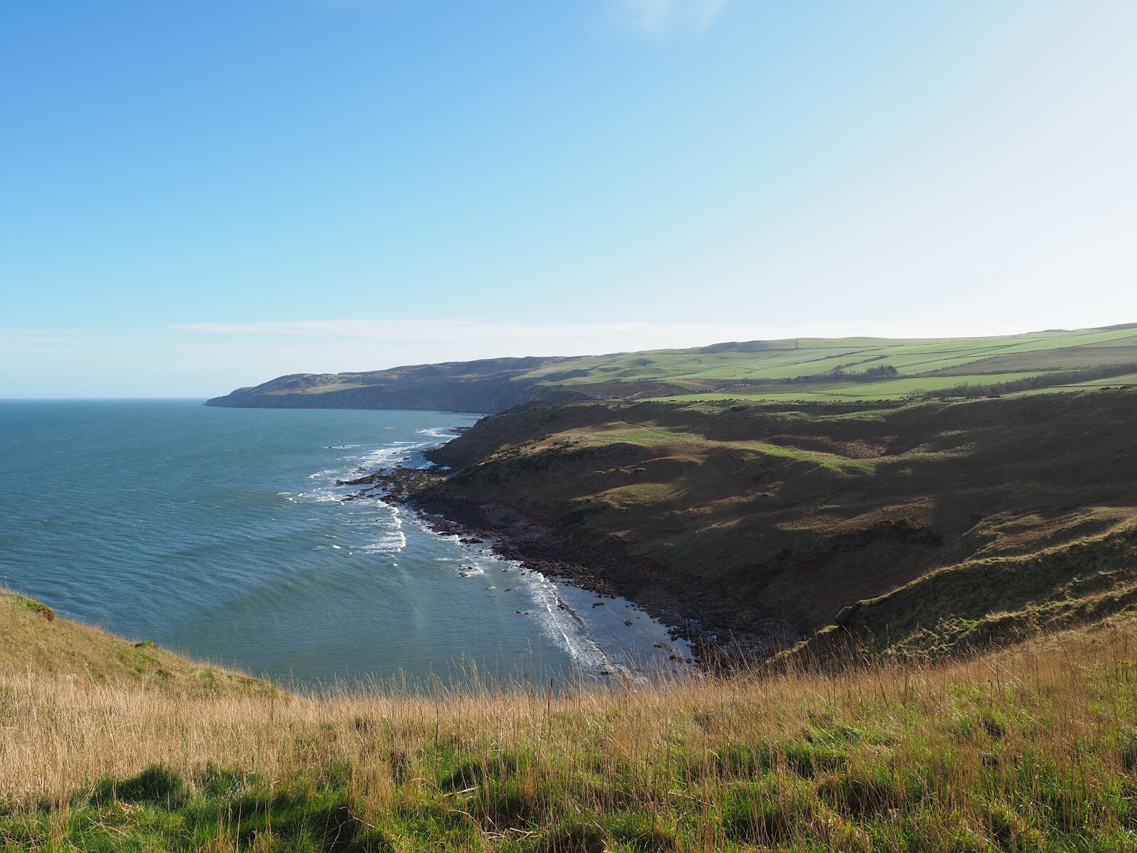
Siccar Point – The Headland That Changed the Age of the Earth
About 3.1 miles on foot.
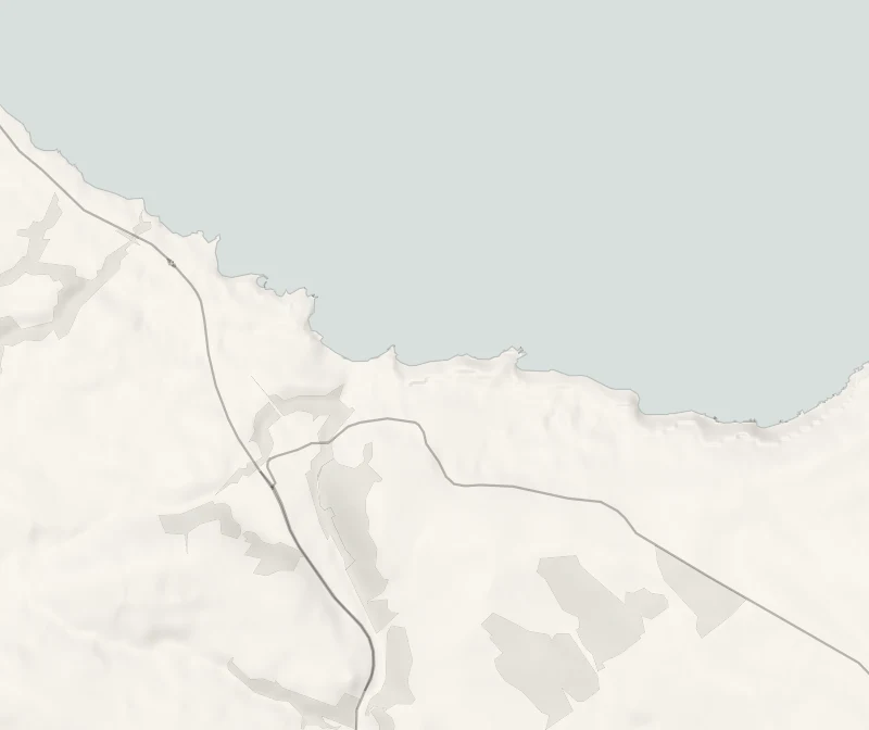
Siccar Point is a rocky headland on the Berwickshire coast where, in 1788, the geologist James Hutton found the proof that the Earth was far older than anyone had thought.
You can walk to it from Pease Bay along the clifftop, past the ruin of a medieval church, and look down on the very rocks he came to see. The walk is three miles there and back.
- Time
- About two hours: 5 km, or three miles, there and back from Pease Bay, on the council's figures.
- The path
- An uneven grassy path with some steep slopes, across clifftop fields. Unguarded cliff edges at the point.
- Where to start
- The car park at Pease Bay, beside the holiday park, below Cockburnspath.
- When to go
- All year in daylight, on a dry day without a high wind. The rocks show best at low tide. From November to January set off by 12.30pm.
- Dogs
- On a lead: livestock graze the fields and the cliff edges are open.
- Children
- For older children who walk well. Keep them close at the point, where the cliff edges are unguarded.
- Toilets
- None on the walk. Toilets and a shop at Pease and in Cockburnspath.
- Before you set out
- Unguarded cliff edges and a very steep grass slope above the rocks. Scrambling down to the shore is not recommended. The rocks show best at low tide.
The walk
Park at Pease Bay, the surf beach below Cockburnspath, in the car park beside the holiday park. There are toilets and a shop at Pease and in Cockburnspath, and nothing at all out at the point. Scottish Borders Council's walk to St Helen's Church and Siccar Point starts and finishes here, and the council gives it as three miles, or 5 km, and two hours. The ground is uneven grass with some steep slopes, so wear boots. On the way you pass what is left of St Helen's Church, a small Romanesque ruin built of the same two rocks you've come to see, old red sandstone and grey greywacke.
Siccar Point is where they meet. In 1788 James Hutton sailed here with his friends James Hall and John Playfair and found level beds of red sandstone lying across much older grey rock that had been tipped up on end. It told him that an immense stretch of time lay between the two, and it settled his argument that the Earth was far older than people then believed. A board at the top explains what you're looking at, and the meeting of the rocks shows best at low tide. The cliff edges here are open and the grass above the rocks is very steep.
The council advises against scrambling down to the shore, and so do we: stay at the top, keep children close and dogs on a lead, and pick another day if it's wet or windy. Livestock graze these fields. From November to January, set off by 12.30pm.
If it rains
This is a walk for a dry, calm day. The grass is slippery when wet and the clifftop takes the full force of the wind, so if the weather turns, the beach at Pease Bay is the better place to be.
Before you go
Book accommodation nearby
If you are staying over: here are ours nearest where the day starts and ends.
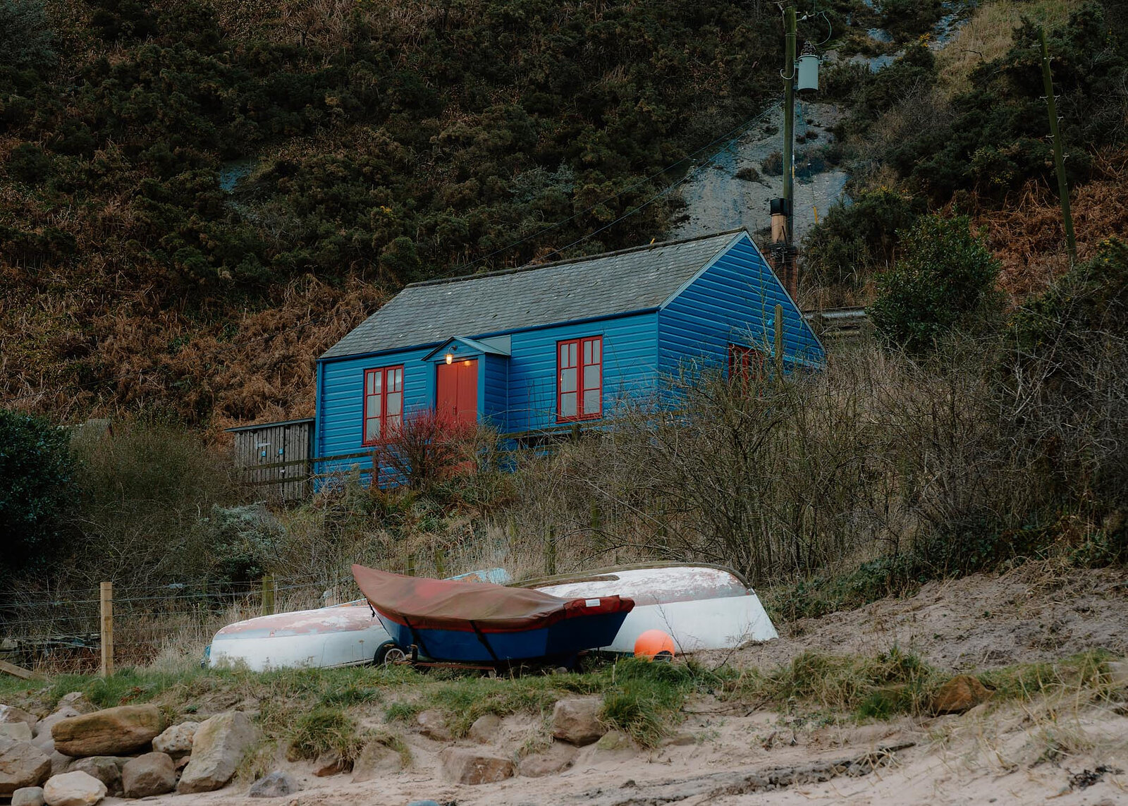
The nearest of ours is Blue Cabin by the Sea in Cockburnspath. Sleeps 4.
For further reading, before you go.
Photograph by Uulriqus via Google