
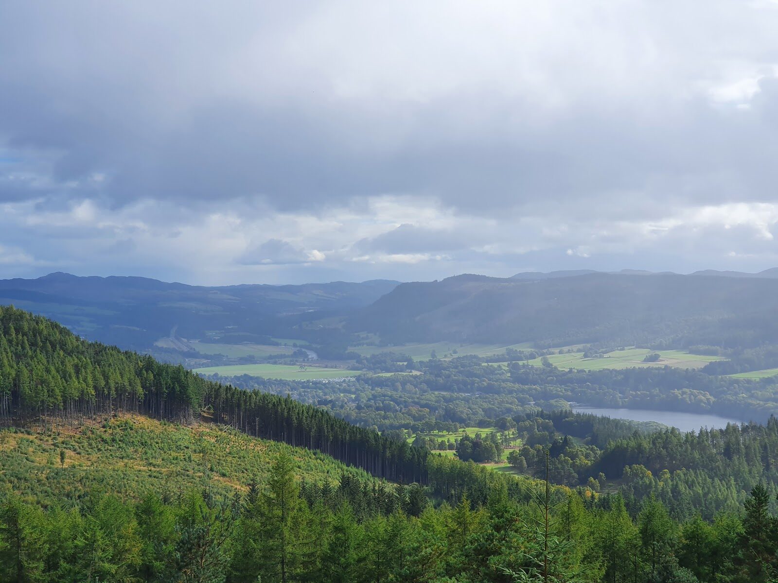
Craigower – The Goat's Crag above Pitlochry
About 6 miles on foot.
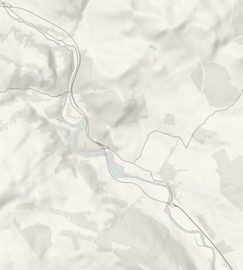
Craigower, the goat's crag, is the wooded hill above Pitlochry, with seats at the top and a view west along Loch Tummel to Schiehallion.
The council's Craigower Path climbs to it from the middle of town by the golf course and the Old North Road, once the main road north. It's a good half day for steady walkers, with lunch at Victoria's when you're back in town.
- Time
- About three and a half hours: the council's Craigower Path, a 9.5 km loop from Pitlochry to the top of Craigower, 407 m. A walk with a steady climb.
- The path
- Pavements and lanes out of town, then forest paths and tracks with a steady climb to the top.
- Where to start
- The car park on Atholl Road in the middle of Pitlochry; there is a charge.
- Set off
- From November to February, set off by 11am to be back in daylight.
- When to go
- All year in daylight. From November to February set off by 11am.
- Dogs
- Under close control.
- Children
- A long walk with a steady climb, for children who walk well; no pushchairs.
- Toilets
- Public toilets in Pitlochry; none on the hill.
- Before you set out
- The top is open to the wind: take a warm layer.
The walk
The walk starts at the car park on Atholl Road in the middle of Pitlochry, where there's a charge. It's the council's own start for its Craigower Path. The path is a 9.5 km loop, about three and a half hours, climbing out of town past the Cuilc pond and the golf course to the Old North Road, then up through the forest to the top of Craigower, 407 metres.
The hill belongs to the National Trust for Scotland, and from the seats on top the view runs west along Loch Tummel to the cone of Schiehallion, and south as far as the Lomond Hills in Fife. The Old North Road under the hill was once the main way north, and the council's leaflet has Robert the Bruce in 1306, Mary Queen of Scots in 1564 and the soldiers marching to Killiecrankie in 1689 all passing this way. For a shorter climb, a tiny car park at Balnacraig below the hill takes a handful of cars, and Walkhighlands gives the loop from there as 5.2 km with 240 metres of climbing, an hour and a half to two hours.
The top is open to the wind, so take a warm layer, and keep dogs under close control.
If it rains
In rain and low cloud the view is gone; walk the Black Spout loop from the same car park instead, mostly under the oaks, and still come back to Atholl Road for lunch.
Afterwards
About 2 min on foot
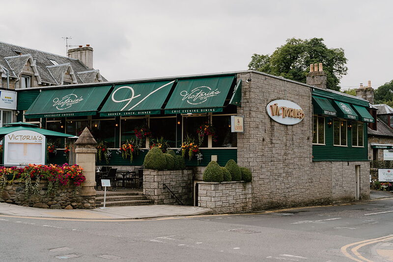
Victoria's
Lunch
Lunch is back on Atholl Road at Victoria's, a family-run restaurant on the corner, open every day from 11am for brunch, lunch and dinner, with gluten-free, vegan and lactose-free menus. From November to April the kitchen may close between 3pm and 5pm, so come in before three or ring 01796 472670. If it's full, Hettie's Tea Rooms a little further along Atholl Road serves until 4pm, with last orders at 3.50pm.
Before you go
Book accommodation nearby
If you are staying over: here are ours nearest where the day starts and ends.
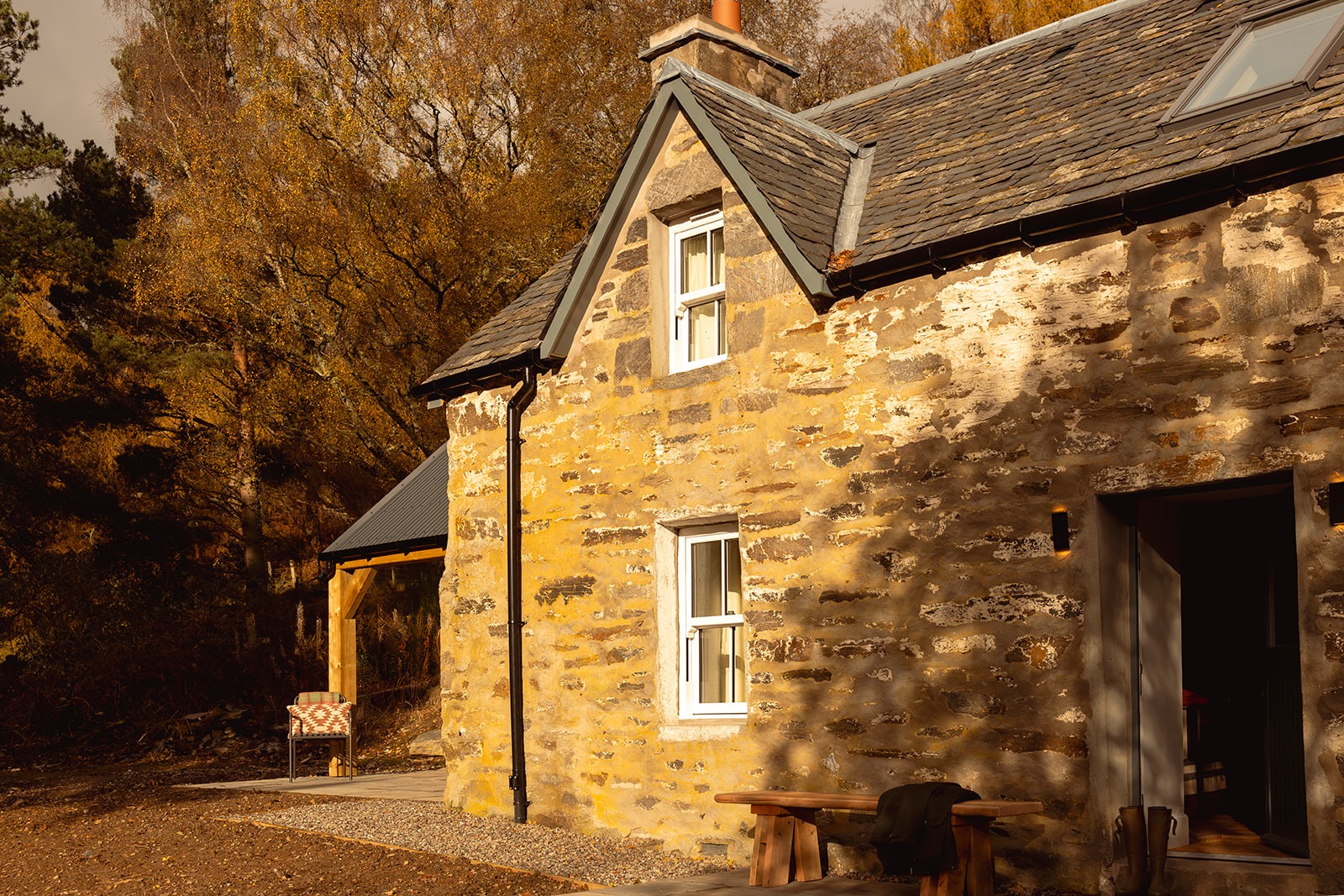
The nearest of ours is Charlottefield, 4 miles away. Sleeps 4.
Where to eat
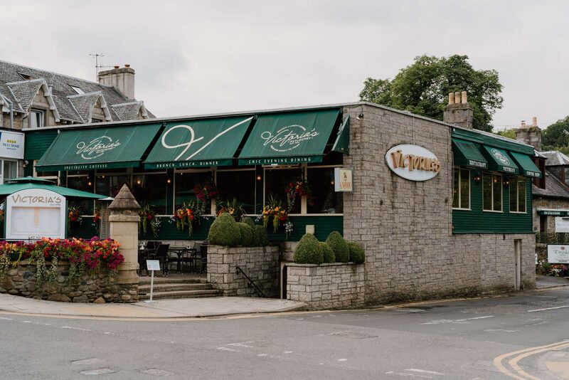 PitlochryVictoria'sOn Pitlochry's main street
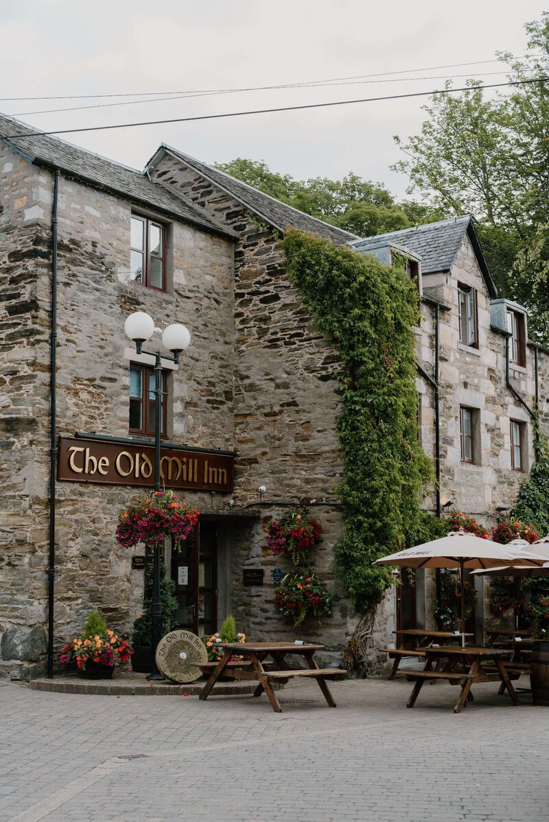 PitlochryThe Old Mill InnInn in an old corn mill
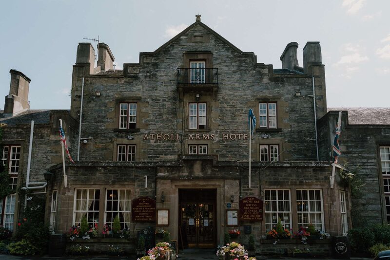 PitlochryAtholl Palace HotelBaronial hotel dining room
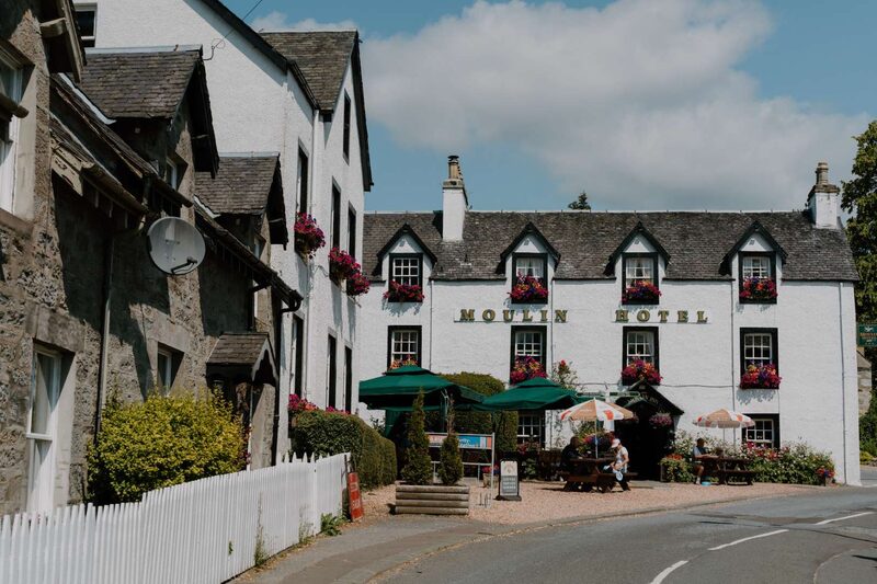 MoulinMoulin Hotel and BreweryVillage inn, its own ales
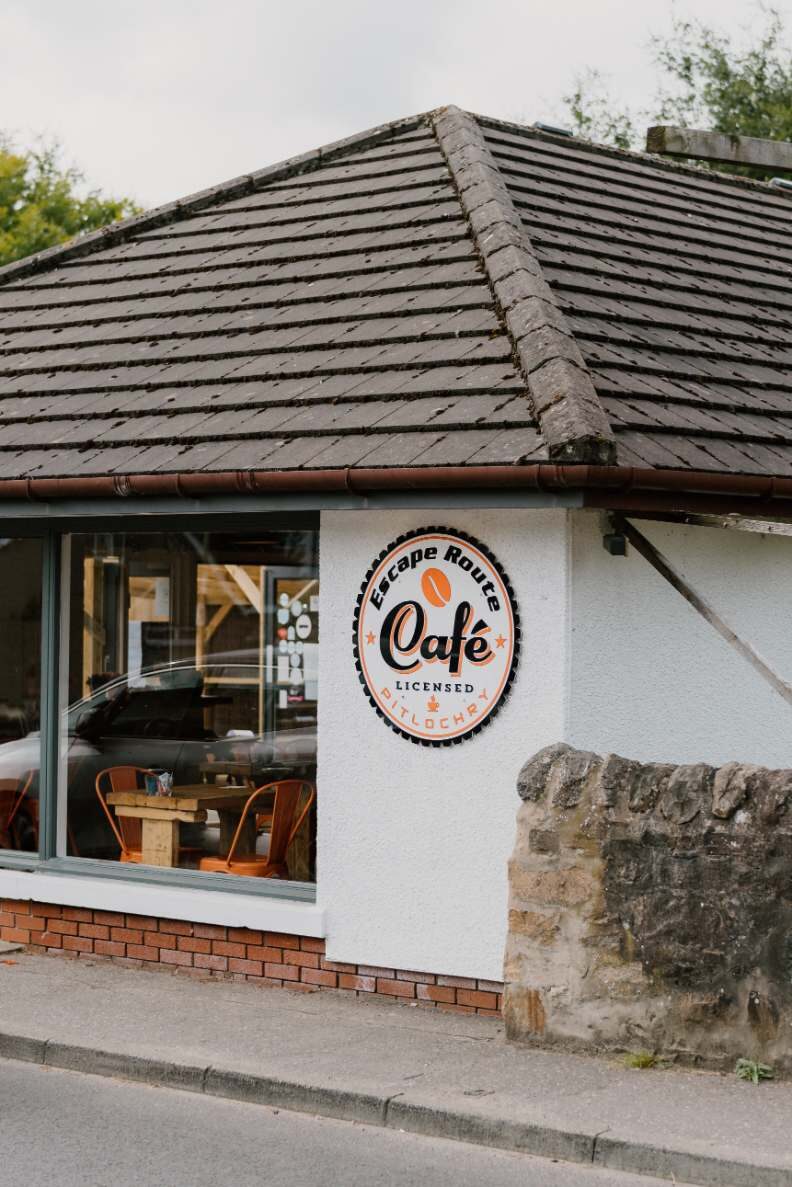 PitlochryEscape RouteCoffee at the outdoor shop
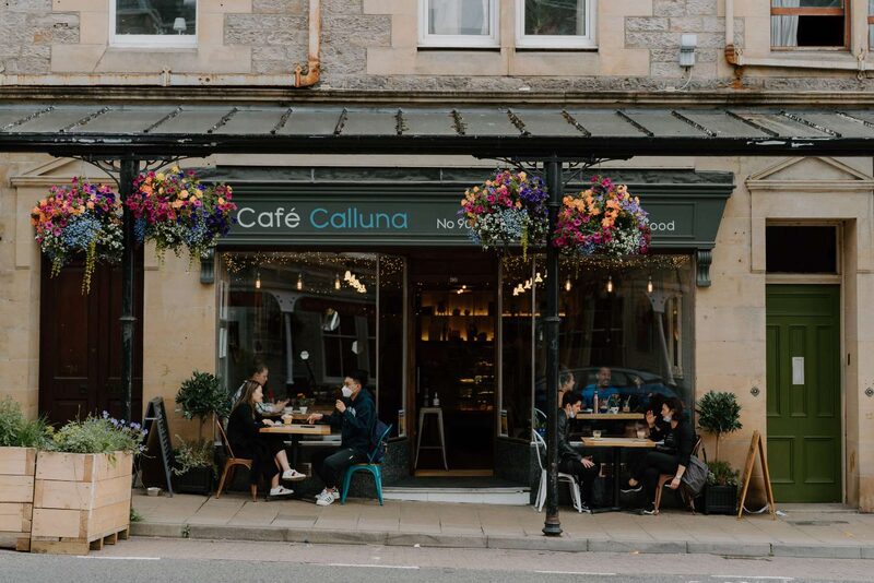 PitlochryCafe CallunaPitlochry café and bakery
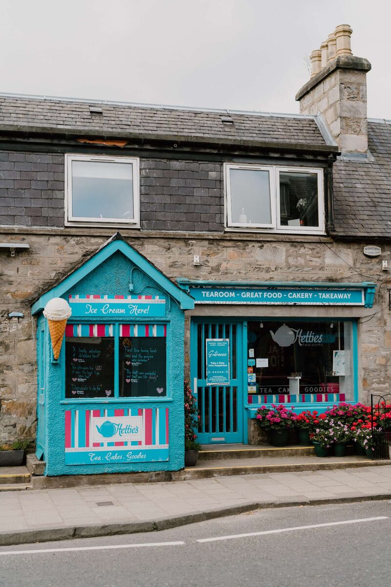 PitlochryHettie's Tea RoomsTea room and loose teas
For further reading, before you go.
Photograph by Peter Slorach via Google