
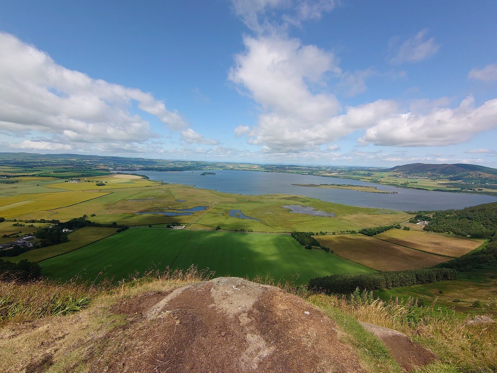
Benarty Hill – The Whole of Loch Leven from the Top
4½ miles · 2 to 3 hours · a hill · a loop
£4 parking · dogs on a lead · toilets
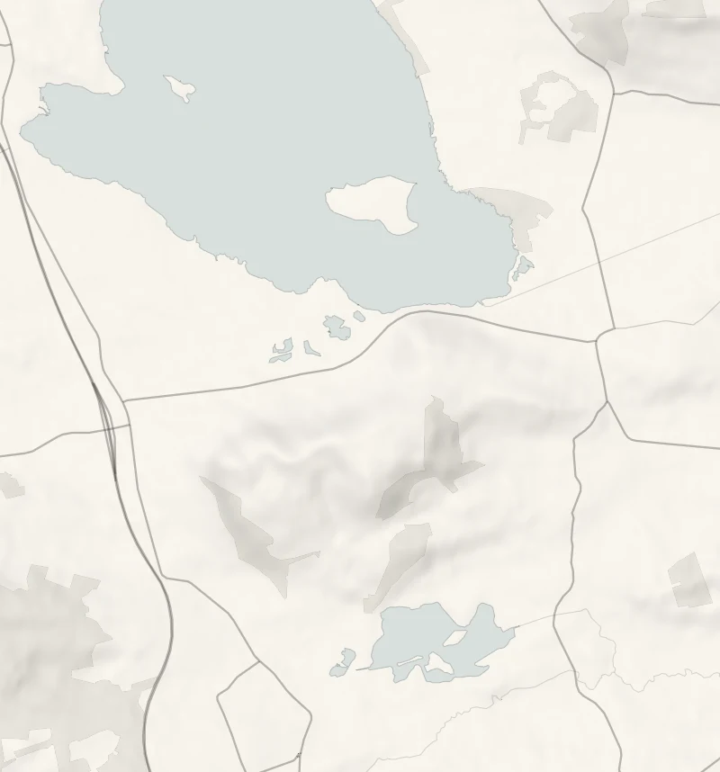
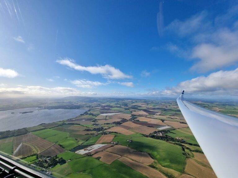
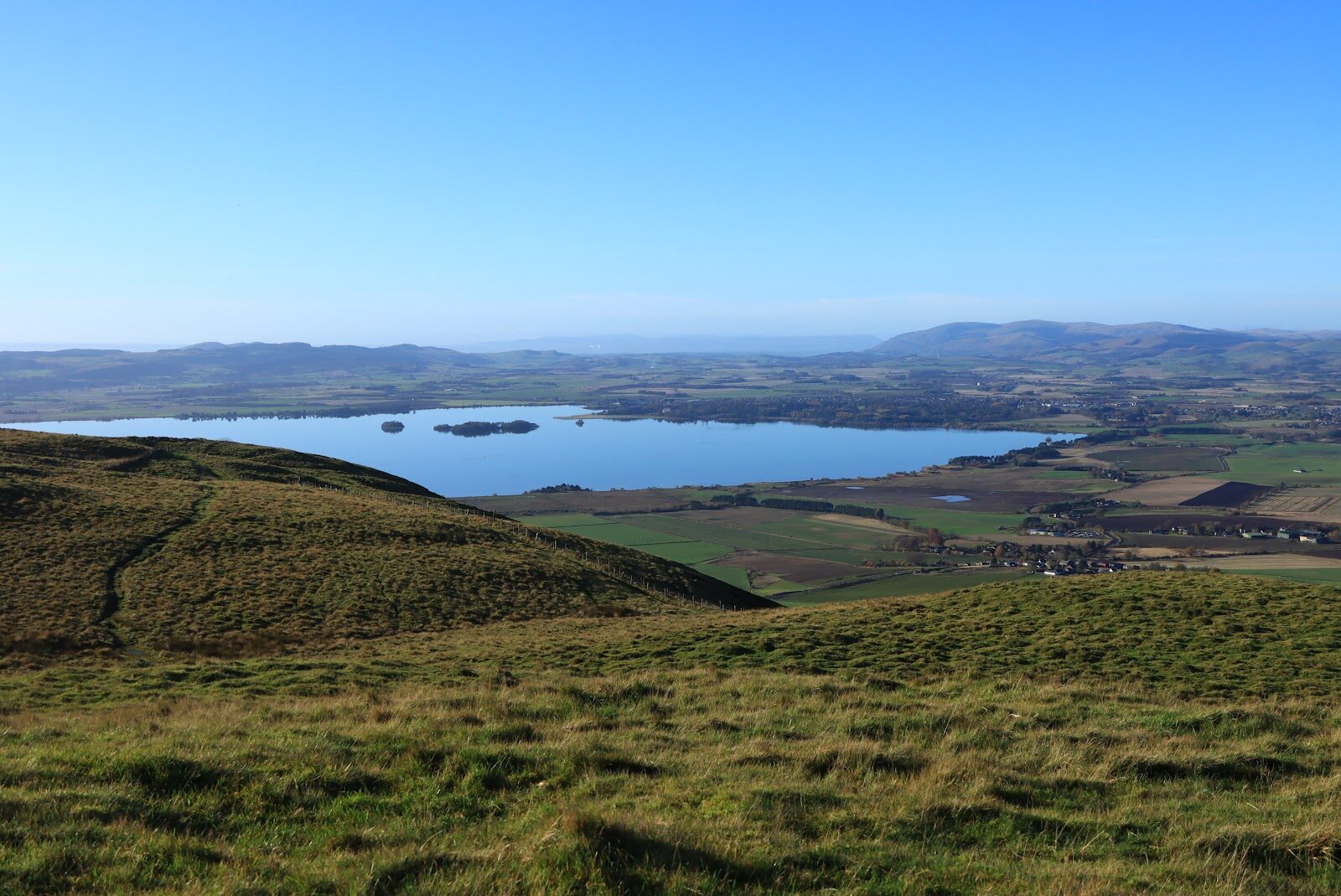
Benarty is the long, craggy hill that stands over the south shore of Loch Leven, and the view from its top is the best there is of the loch.
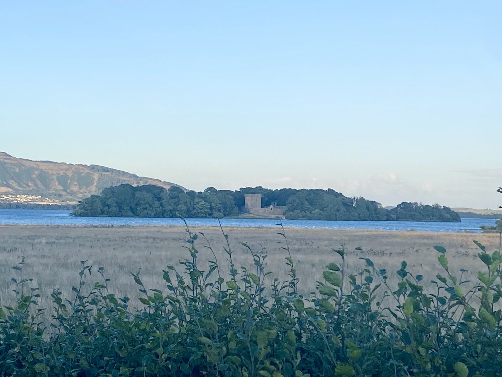
You look straight down on the water, its islands and its castle, with the Lomond Hills across the far side. The walk starts at the RSPB reserve, climbs steeply through the woods and comes back over Vane Hill, in two to three hours.
Where it starts
RSPB Loch Leven's car park, KY13 9LX: open at all hours, £4 a day for a car, free to RSPB members and Blue Badge holders.
Is it for me?
Tap who is coming, or the day you have, for the answer on this walk.
Before you go
On the path
Two to three hours: a round of 7.1 km, or four and a half miles, with 300 m of climb, over Benarty Hill and back by Vane Hill, on a walkers' guide's figures. Steep in places, on well-made paths with flights of steps in the wood and several gates. The top is open and exposed. Boots. A steep hill with steps and an exposed top, for children used to hills. The reserve's level trails suit the youngest.
Good to know
All year in daylight, in clear weather. The Carden Flood on the reserve is drained for works until autumn 2027. From November to January, set off by 11.30am. Dogs under close control, on a short lead for preference, above all from April to August when birds are nesting. At the reserve, by the car park, open at all hours, with a Changing Places toilet. The reserve's car park and toilets are open at all hours. Its café is usually open 10am to 4pm; the RSPB posts each week's hours. The Carden Flood on the reserve is drained for works until autumn 2027.
The walk
The Benarty Hill round is 7.1 km, or four and a half miles, with 300 metres of climb, and walkers' guides give two to three hours. It starts at the RSPB Loch Leven visitor centre, climbs steeply through the woods and comes back over Vane Hill.
Benarty is 356 metres high. From the top the whole of Loch Leven is laid out below you, with its islands and its castle, and the Lomond Hills rising across the water. The way up is steep, through woodland with flights of steps, and the top is open heather and grass that catches the wind. Coming down over Vane Hill, at 253 metres, gives you a second view over the reserve. Wear boots. The RSPB asks that dogs are kept under close control, on a short lead for preference, and above all from April to August when birds are nesting. Down on the reserve, the Carden Flood in front of the Carden hide has been drained for works and isn't due to be refilled until autumn 2027, so expect mud there, not water. The reserve's café is beside the car park and is usually open 10am to 4pm. The RSPB posts each week's hours on its website. Walk it in daylight.
If it rains
The steps in the wood are slippery when wet and the top is in the cloud on a poor day, so keep the hill for clear weather. In rain the reserve's hides and café are the better plan.
After the walk
Something to do with the rest of the day, nearest the end of the walk first.
Places to stay near the walk
Our places to stay nearest the start, by road.
An advert · Newburgh
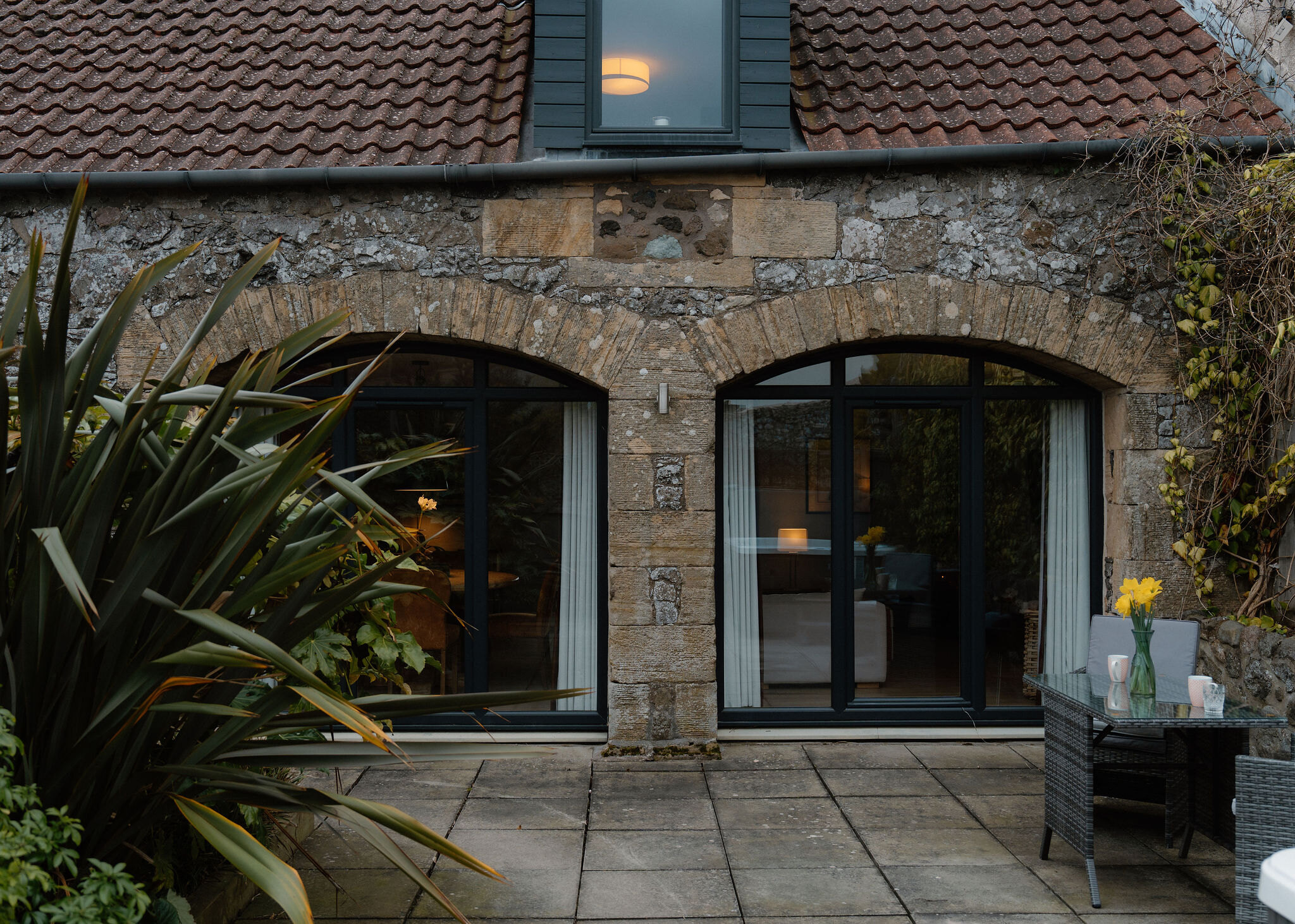
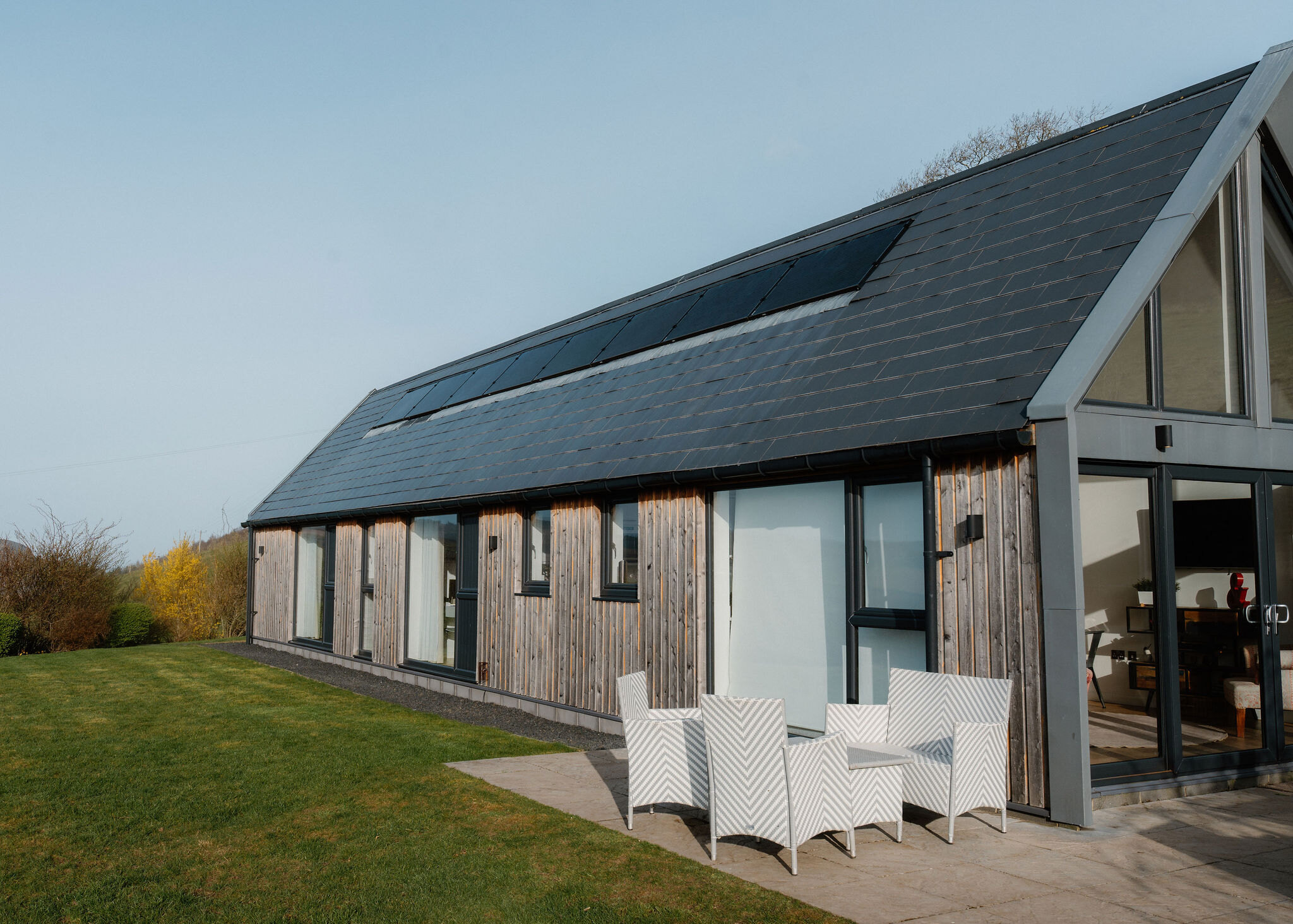
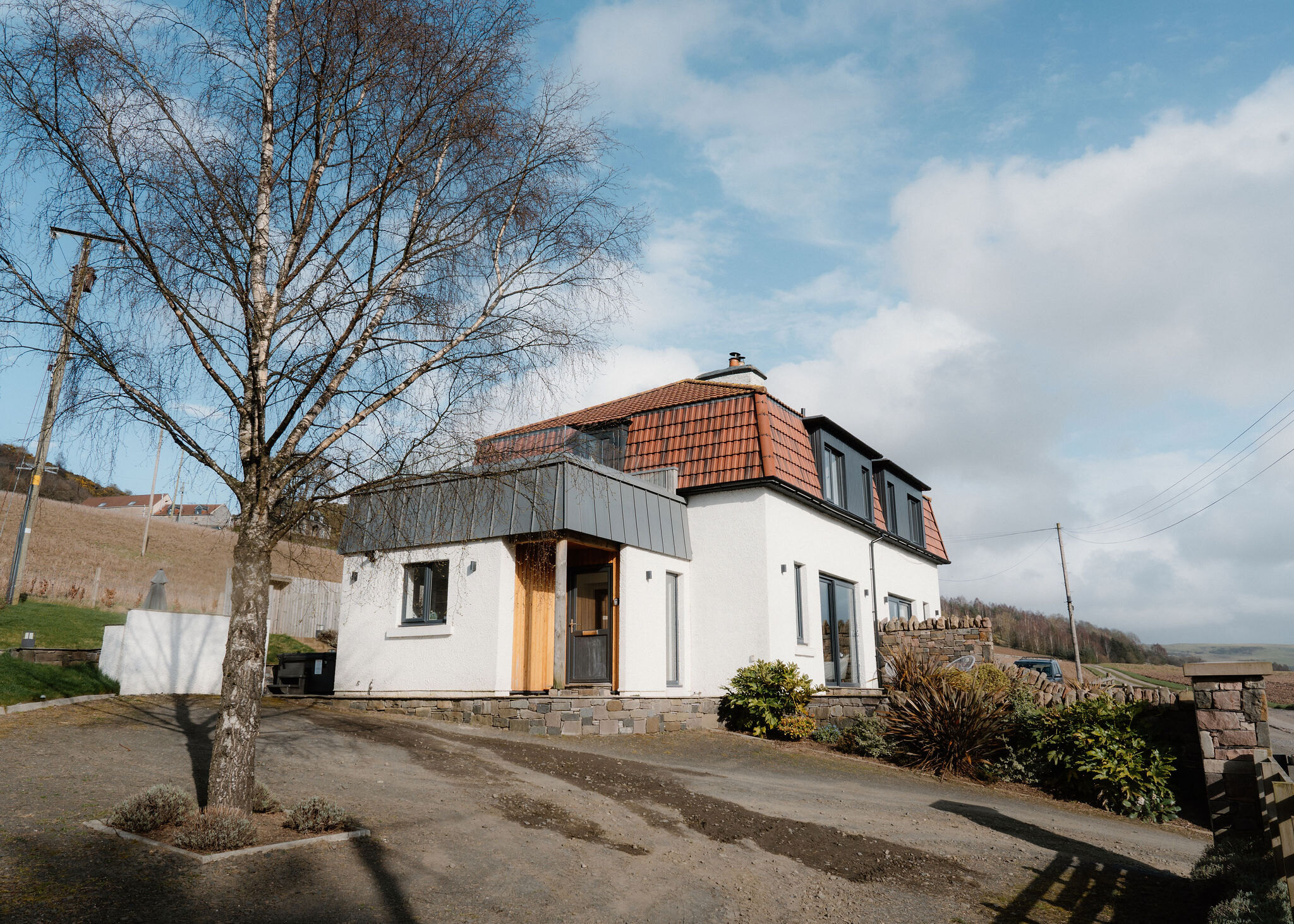
Lindores Lodge
A farmhouse for eight on the Black family's working farm a mile from Newburgh in north Fife, with a seven-seater hot tub and room for three dogs.
Sleeps 8 · 27 minutes by road
See Lindores Lodge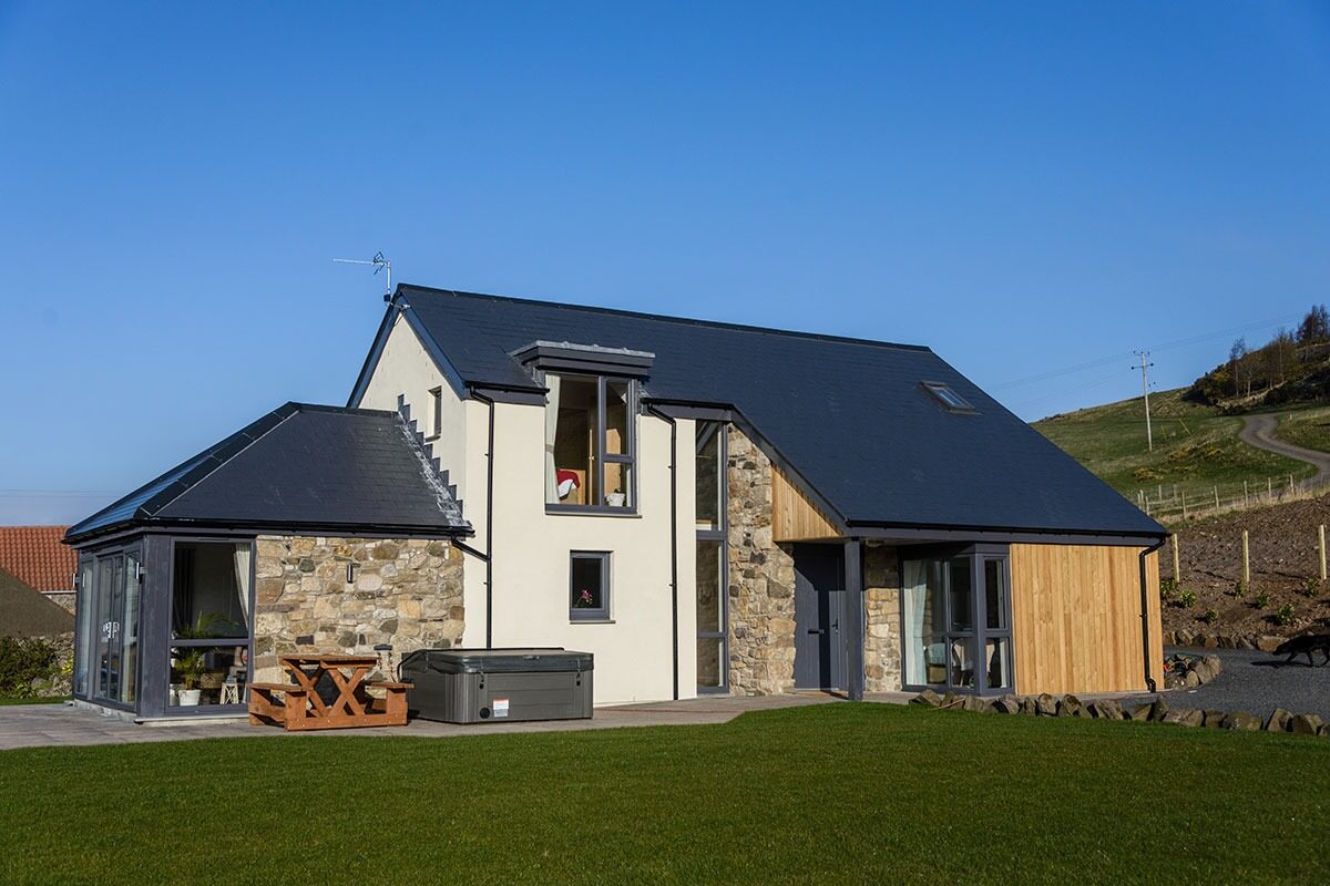
More walks near here
Within a short drive of the start.
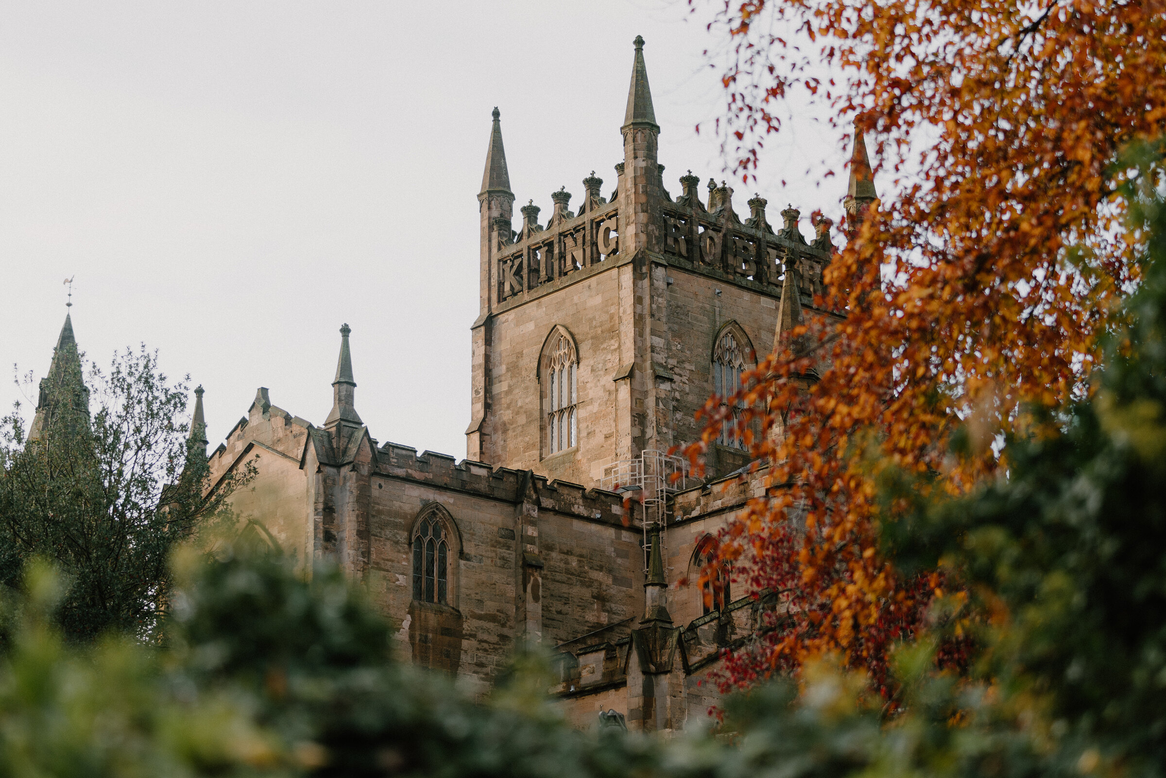
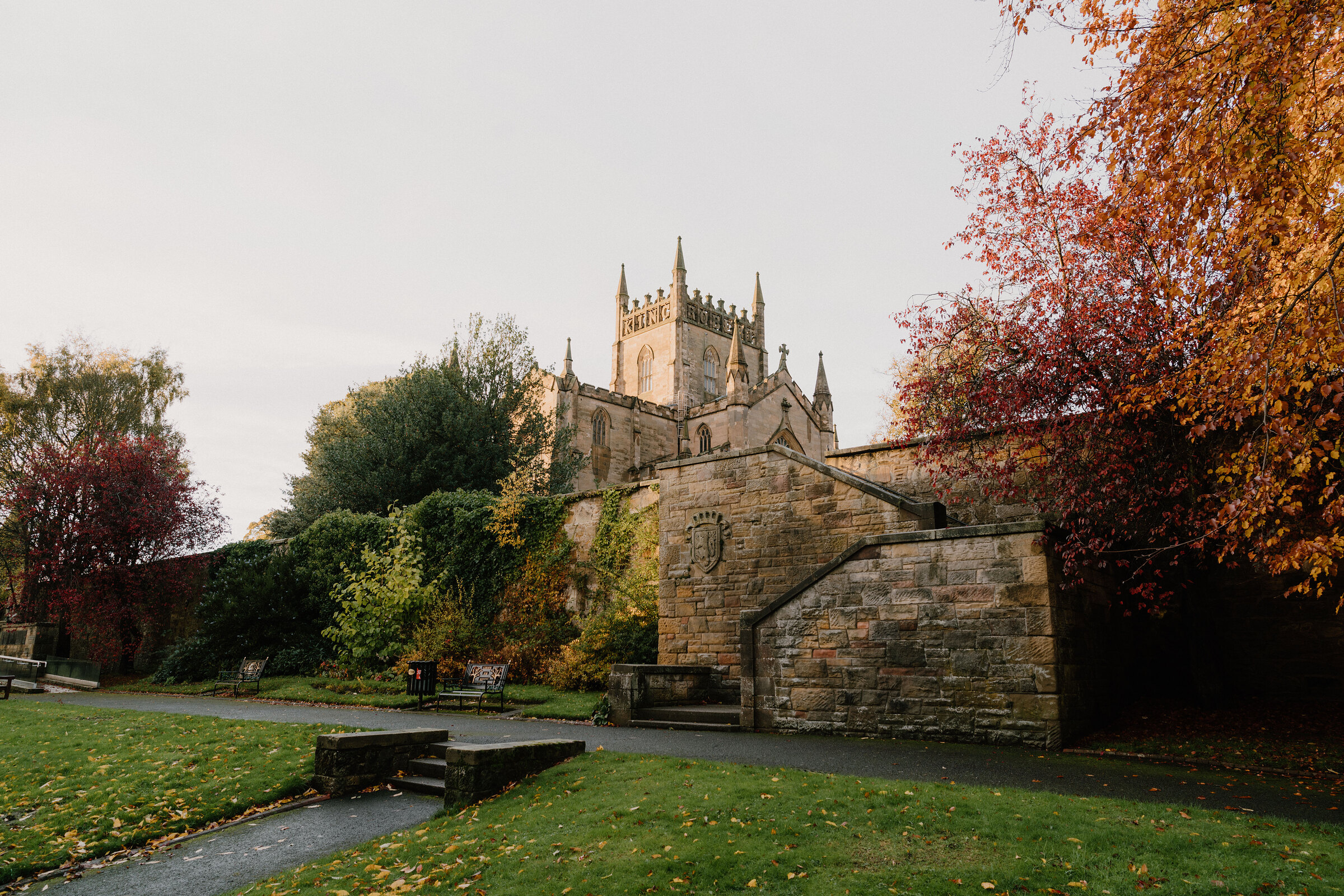 19 min by roadA walkDunfermline1½ miles, 34 minutes' walking, by Fife Discovery Trails' figures
 19 min by roadA strollDunfermline2 miles, about two hours
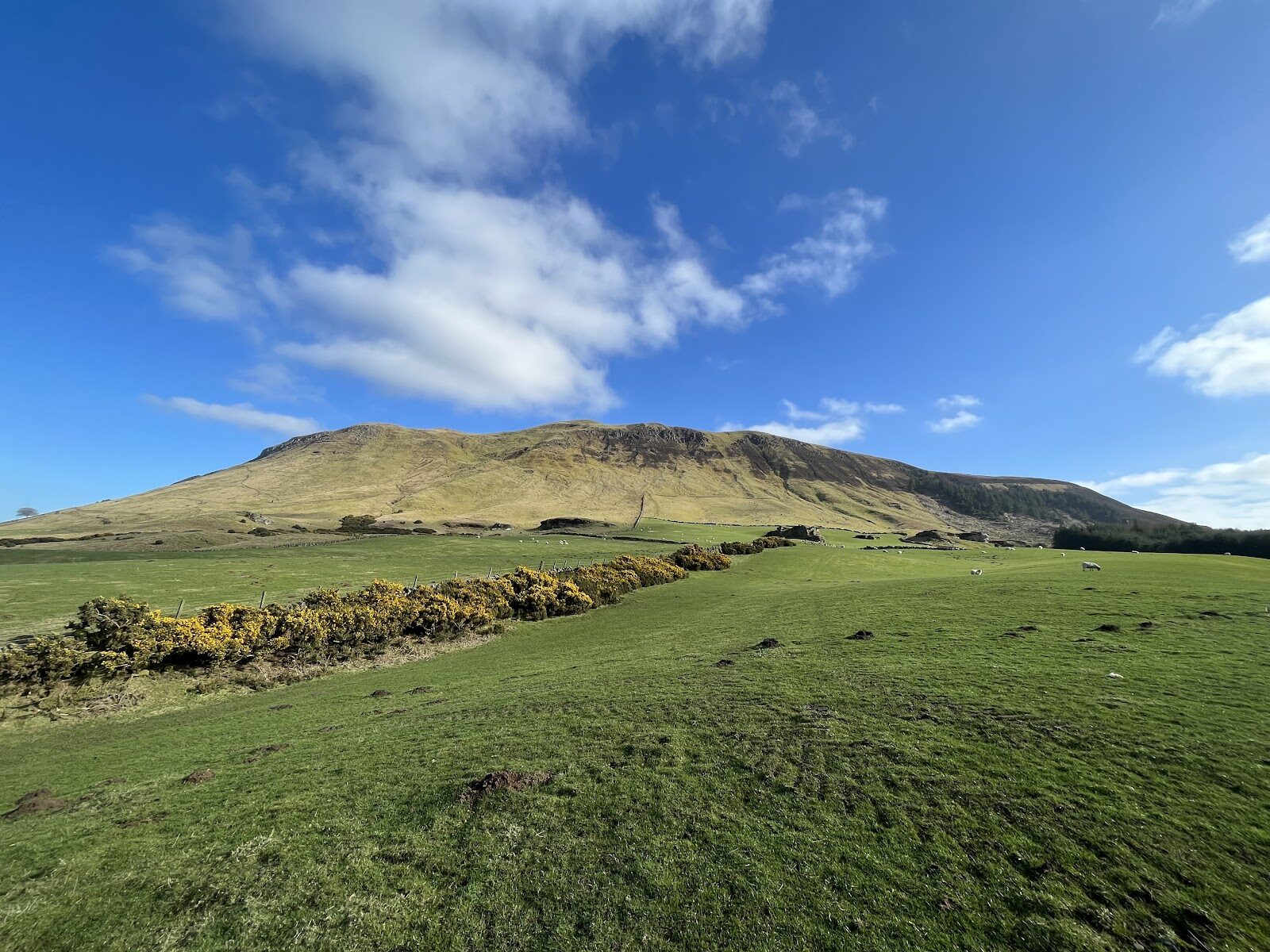
 6 min by roadA hillBishop Hill3 miles, about two hours
 9 min by roadA walkLoch Leven4½ miles, about two and a half hours
 15 min by roadA hillWest Lomond4½ miles, about four hours
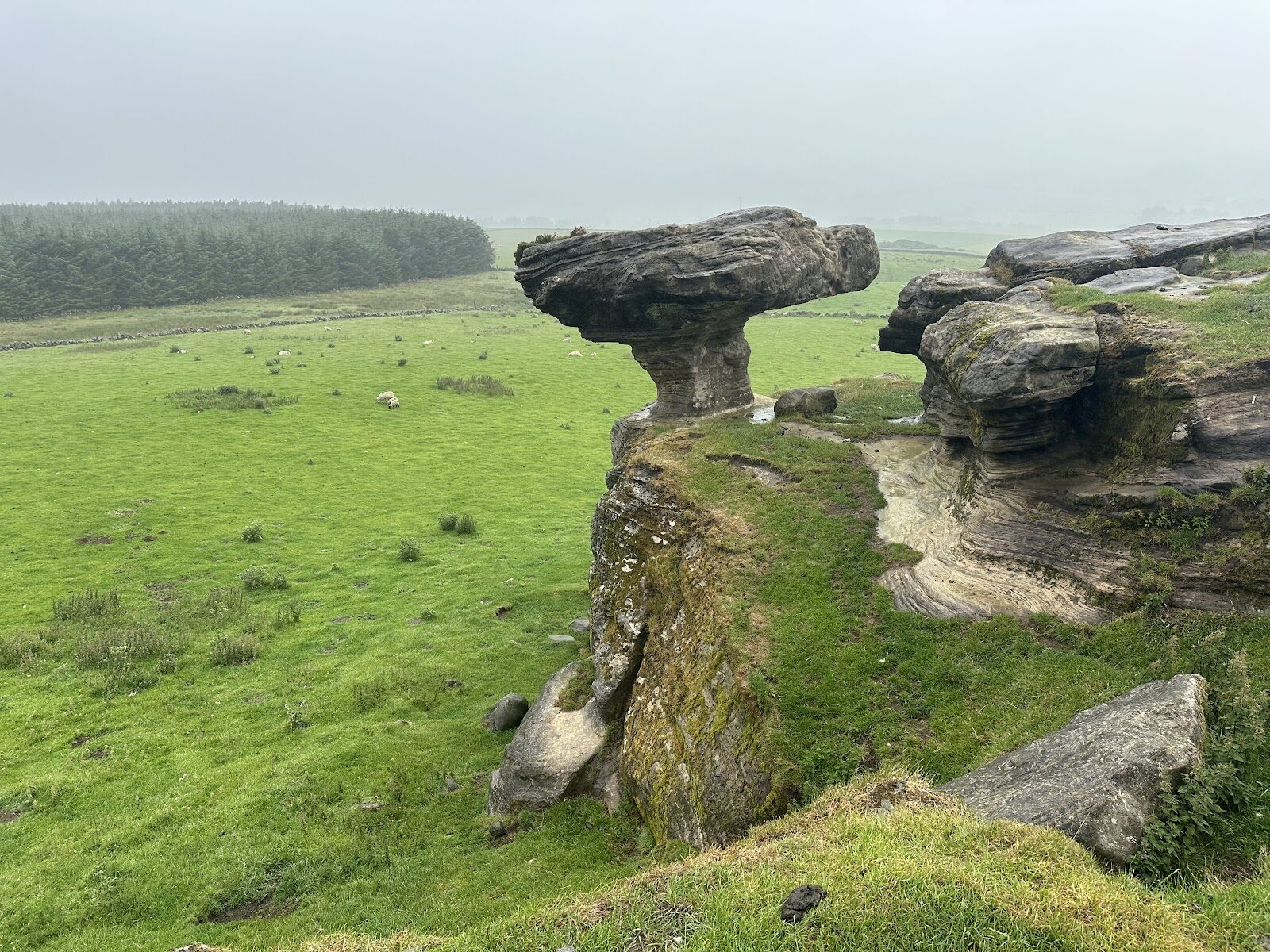 16 min by roadA strollThe Bunnet Stane1½ miles, about an hour
Did this walk?
Tell the next person how it went. The best go on this page, with your name.
For further reading, before you go.
Photograph by Wojciech Suszko via Google
Maps from OpenFreeMap © OpenMapTiles, data © OpenStreetMap contributors; heights from Mapzen's terrain tiles.