
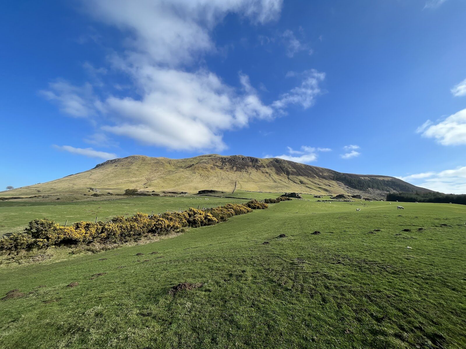
West Lomond – Across the Moor to the Highest Point in Fife
About 4.7 miles on foot.
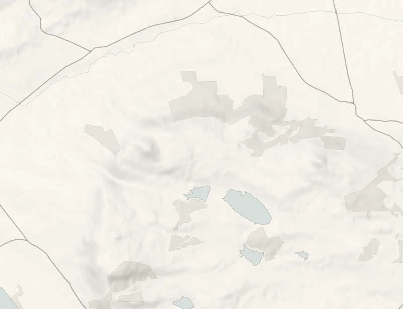
West Lomond is the highest point in Fife, a cone of old volcanic rock, 522 metres high, standing above the farmland.
The walk from Craigmead crosses open moor on a wide path and then takes a long, steep slope to the summit. It's 3.8 km each way and takes about four hours, so it's a hill for a clear day and an early start.
- Time
- About four hours: 3.8 km (2.4 miles) each way, with a long steep slope to the top at 522 metres.
- The path
- A wide, well-surfaced path with some long steep stretches, then a long steep slope to the summit. Not for wheelchairs or pushchairs.
- Where to start
- Craigmead car park, on the hill road between Falkland and Leslie. Free for under two hours, £2 for the day, by cash or card. Open 7am to 8pm from October to March.
- When to go
- All year in daylight, on a clear day. The car park shuts at 8pm from October to March and its toilets are shut for the rest of 2026. From November to January set off by 10.30am.
- Dogs
- On a lead: sheep and cattle graze the hillside.
- Children
- A long day for children under eight.
- Before you set out
- The toilets at Craigmead are shut for the rest of 2026: use those at the East Lomond car park or in Falkland. The summit is exposed and the weather can turn quickly.
The walk
Park at the Craigmead car park, on the hill road between Falkland and Leslie. It's the largest car park in the Lomond Hills, with picnic tables. It's free for under two hours and £2 for the day, by cash or card at the machine, and from October to March it's open from 7am to 8pm. The toilets at Craigmead are shut for the rest of 2026. The nearest are at the East Lomond car park, further along the same road, or in Falkland. From Craigmead it's 3.8 km to the top of West Lomond, and the Fife Coast and Countryside Trust, which looks after the path, allows two hours each way.
Most of it is a wide, well-surfaced path over rolling moor, with some long steep stretches on the way to the foot of the hill. Then comes the hard part, a long steep slope to the cairn and trig point at 522 metres. The cone is the plug of an old volcano, and it rises above an escarpment of sandstone and limestone. People have been up here a very long time. Close to the path are a Bronze Age burial cist and the rings of prehistoric huts, and a short way off is a boulder carved with an early Christian cross and a fish. On a clear day the view from the top runs from Loch Leven below to the Perthshire hills.
Sheep and cattle graze the hillside, so keep dogs on a lead. The summit is open and the weather can turn quickly, so carry waterproofs and a warm layer. It's a long day for children under eight. From November to January, set off by 10.30am.
If it rains
This is no walk for rain or low cloud: the summit is open, the last slope is slippery and there's nothing to see. East Lomond, further along the same road, is the shorter hill for a doubtful day.
Before you go
Book accommodation nearby
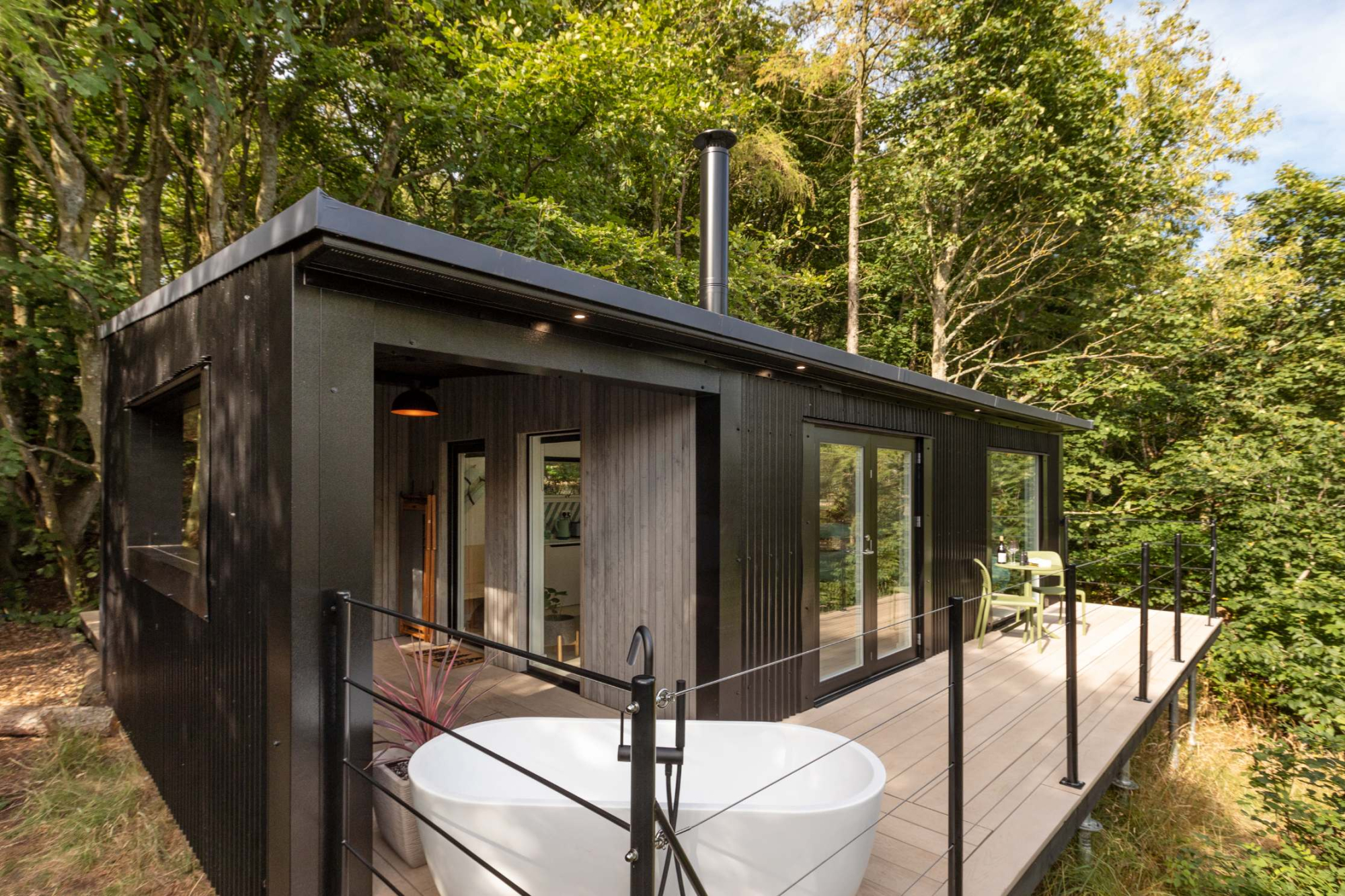
If you are staying over: here are ours nearest where the day starts and ends.
Where to eat

Pillars of Hercules, a restaurant in Falkland.
For further reading, before you go.
Photograph by Peter Howard via Google