
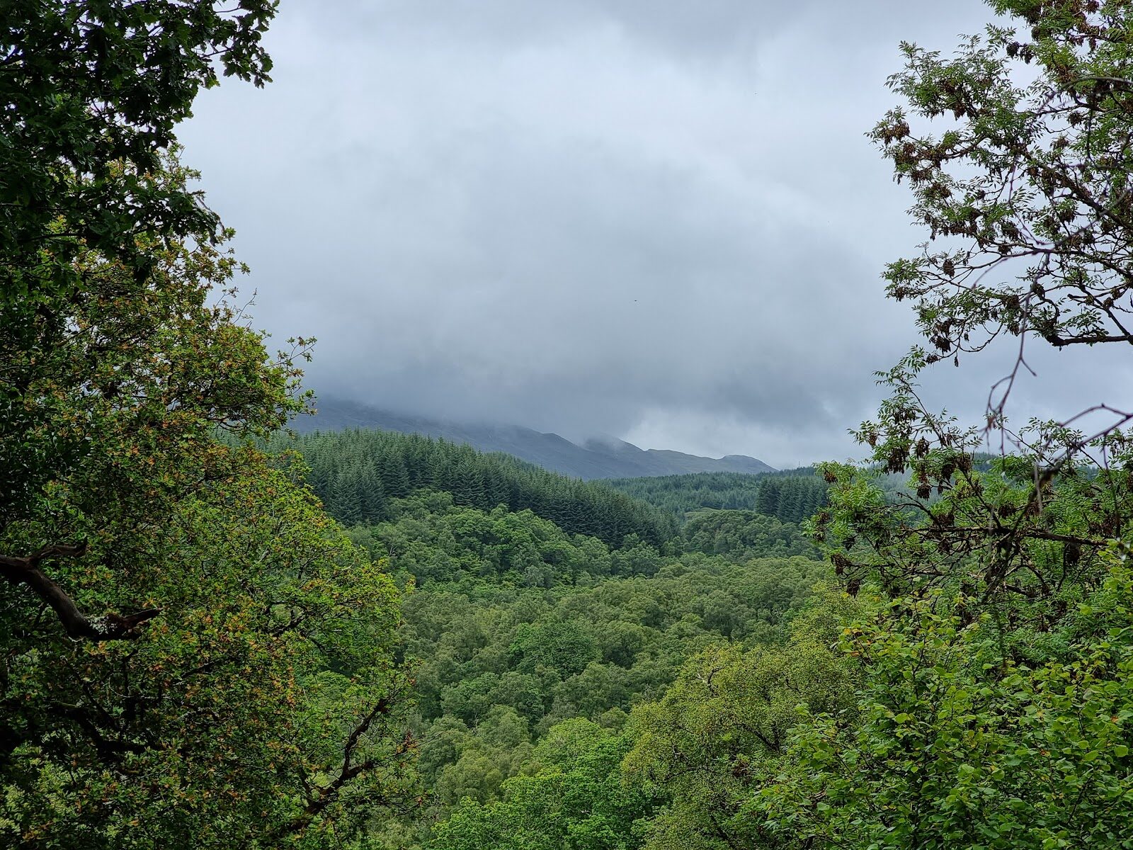
Glen Nant – The Oakwood That Fired the Bonawe Furnace
About 2 miles on foot.
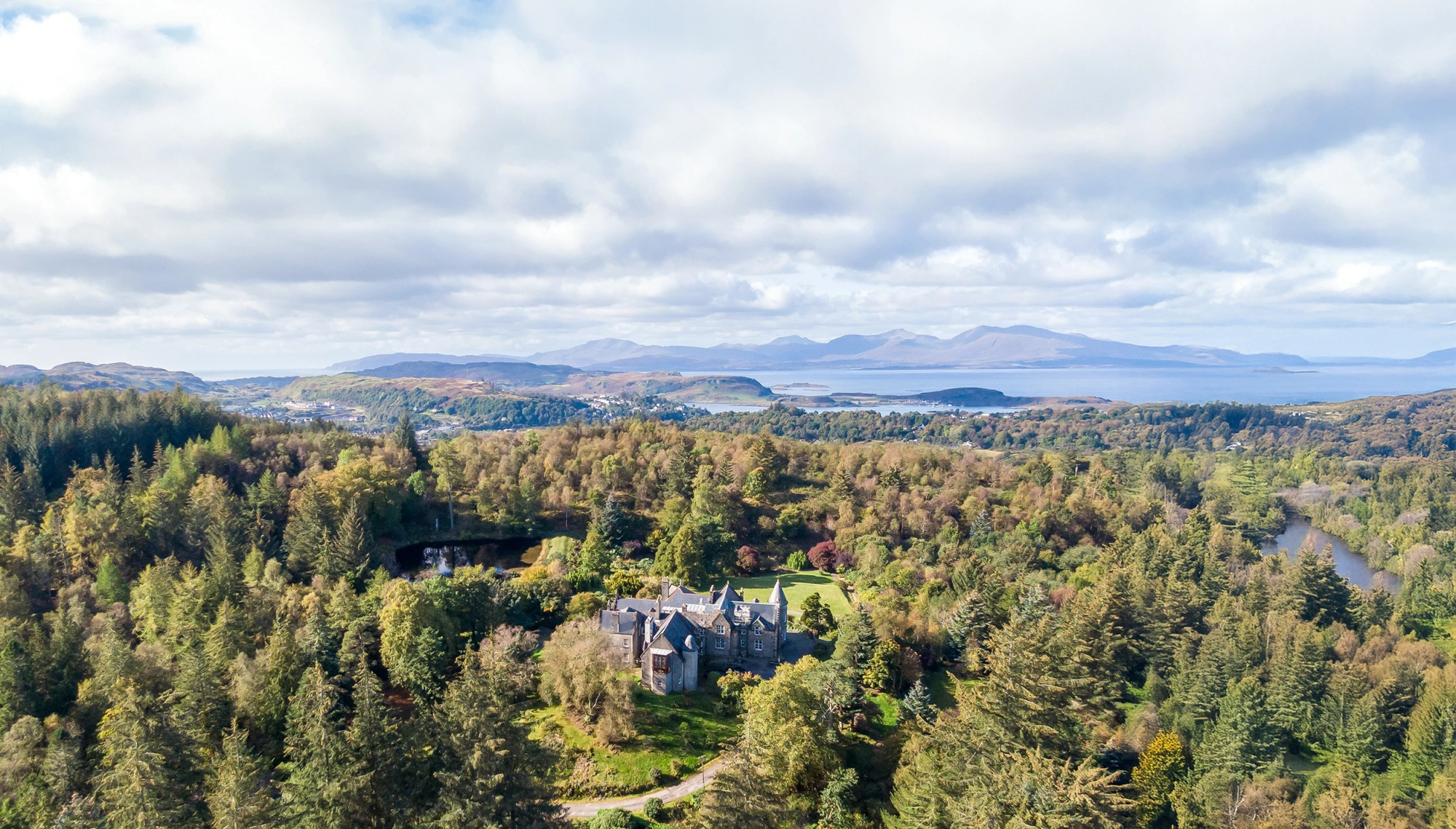
Glen Nant is a piece of Scotland's Atlantic rainforest, an old wood of oak, hazel and birch in the hills south of Taynuilt where every trunk and boulder wears a coat of moss and lichen.
Two hundred years ago these oaks were cut for charcoal to fire the iron furnace at Bonawe, and you can still pick out the many-stemmed trees that work left behind. The Coalers Trail climbs through it all in about an hour and a half.
- Time
- About an hour and a half: a waymarked loop of 3.3 km (2 miles), graded strenuous, with long steep slopes and flights of rough steps.
- The path
- The Coalers Trail is narrow gravel and grass with long steep slopes, several flights of rough steps, roots, mud, stepping stones and a narrow bridge. The Riverbank Trail, 400 metres, is firm gravel and almost level, with one short slope by the car park.
- Where to start
- Glen Nant car park, on the west side of the B845 about three miles south of Taynuilt, PA35 1HP. £1 for up to an hour, £3 all day, paid with RingGo; free with a Blue Badge.
- When to go
- All year in daylight. The mosses and lichens are at their greenest in the wet months.
- Dogs
- Under close control.
- Children
- Steep, with rough steps and stepping stones over a burn: for children who are steady on their feet. The Riverbank Trail suits everyone.
- Toilets
- None at Glen Nant. The nearest public toilets are in Taynuilt, three miles north.
- Before you set out
- The River Nant runs beside the car park and the picnic place: watch small children at the water.
The walk
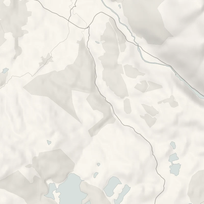
Glen Nant car park is on the west side of the B845, the road from Taynuilt to Kilchrenan, about three miles south of Taynuilt. PA35 1HP is the nearest postcode, though it covers a long stretch of the road, so watch for the Forestry and Land Scotland sign. Parking is £1 for up to an hour or £3 for the day, paid with RingGo, and free with a Blue Badge. The Coalers Trail is a waymarked loop of 3.3 km, or two miles, and Forestry and Land Scotland allows an hour and a half for it. Glen Nant is a National Nature Reserve, and the wood is the reason. Oak, hazel and birch grow here in soft, damp air, and mosses and lichens cover everything.
Some of them are very rare, so bring a magnifying glass if you have one. Look for oaks with several trunks rising from a single stump. They were cut every 15 or 20 years for the new growth, and the wood was burned to charcoal for the iron furnace at Bonawe, by Taynuilt. Boards along the trail tell that story and name the trees, plants and insects around you. Higher up, the path comes out onto cleared ground where conifers have been felled so the native wood can spread back, and there are viewpoints with glimpses of Ben Cruachan. The trail is graded strenuous.
It's a narrow path of gravel and grass, with long steep slopes, several flights of rough steps, tree roots and mud, stepping stones over a small burn and one narrow bridge. For something gentler, the Riverbank Trail is an almost level 400 metres on firm gravel, through coppiced hazel to a picnic place by the River Nant. There are no toilets here. The nearest, with shops and places to eat, are in Taynuilt. Keep dogs under close control.
If it rains
The trees keep off the worst of a shower, but the steps, roots and stepping stones are slippery when wet. On a wet day take the short Riverbank Trail to the picnic place instead.
Before you go
Book accommodation nearby
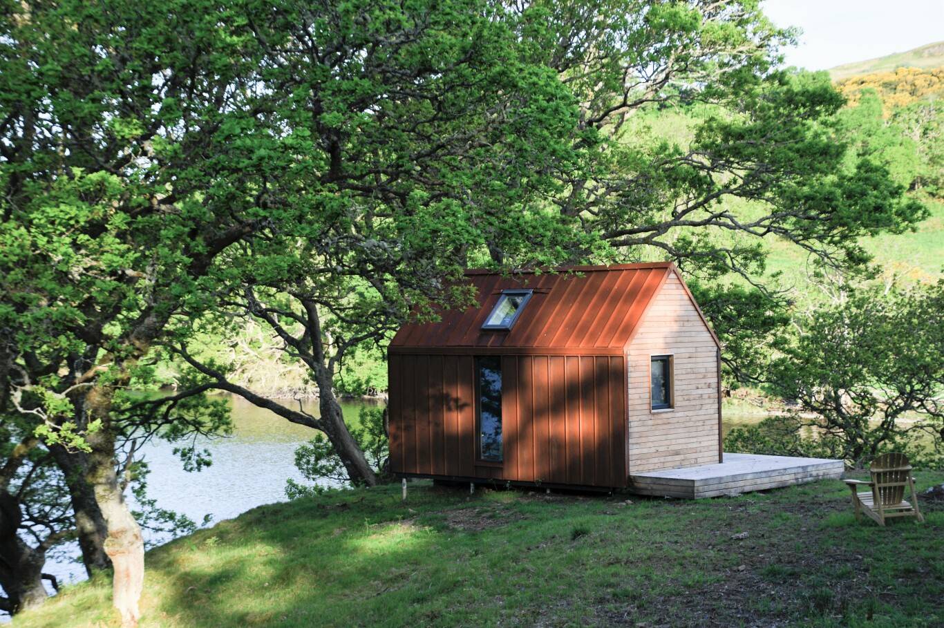
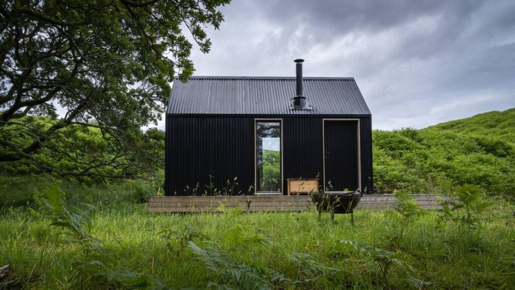
If you are staying over: here are ours nearest where the day starts and ends.

For further reading, before you go.
Photograph by Greg Blundell via Google