
North Queensferry – Under the Forth Bridge to a Sandy Bay
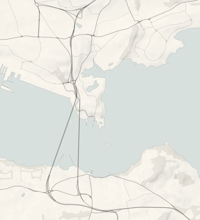
Most people look at the Forth Bridge from the south side.
This short walk starts right underneath it on the Fife shore and climbs onto a flowery headland that the Scottish Wildlife Trust looks after. Then it drops through the trees to Port Laing, a small sandy bay that hardly anyone knows is there. It's an easy hour or so, with a longer round if you'd like one.
- Time
- An hour or so there and back to Port Laing, about a mile and a half in all, by our own measure on the map. The longer round is an hour and a half to two hours: 5.5 km, or three and a half miles, with 121 m of climb, on a walkers' guide's figures.
- The path
- A coast path with a climb onto the headland and a woodland path down to the beach. The longer round comes back on pavements.
- Where to start
- The Battery Road car park, North Queensferry, under the Forth Bridge: Fife Council's, free and small. Open 9am to 6.30pm from October to March, and to 9pm from April to September.
- When to go
- All year in daylight. The Battery Road car park is open 9am to 6.30pm from October to March. From November to January set off on the longer round by 12.30pm.
- Dogs
- Kept close on the reserve, where birds nest in the gorse and there are cliff edges.
- Children
- A short walk with a beach at the end. Hold small hands near the cliff edges and keep children off the quarry faces.
- Toilets
- Public toilets beside the Battery Road car park, 30p, open 9am to 10pm, with a wheelchair-accessible toilet. None on the reserve or at the beach.
- Before you set out
- Cliff edges and loose quarry faces on the reserve. The car park is open 9am to 6.30pm from October to March.
The walk
Park at the Battery Road car park in North Queensferry, right under the north end of the Forth Bridge. It's Fife Council's and it's free, but it's small, so on a fine weekend come early. From October to March it's open 9am to 6.30pm. The public toilets beside it cost 30p and are open 9am to 10pm. The Fife Coastal Path heads east from here beneath the great red cantilevers. The Forth's bridges were each built in a different century: the Forth Bridge, which is a World Heritage Site, then the Forth Road Bridge and the Queensferry Crossing.
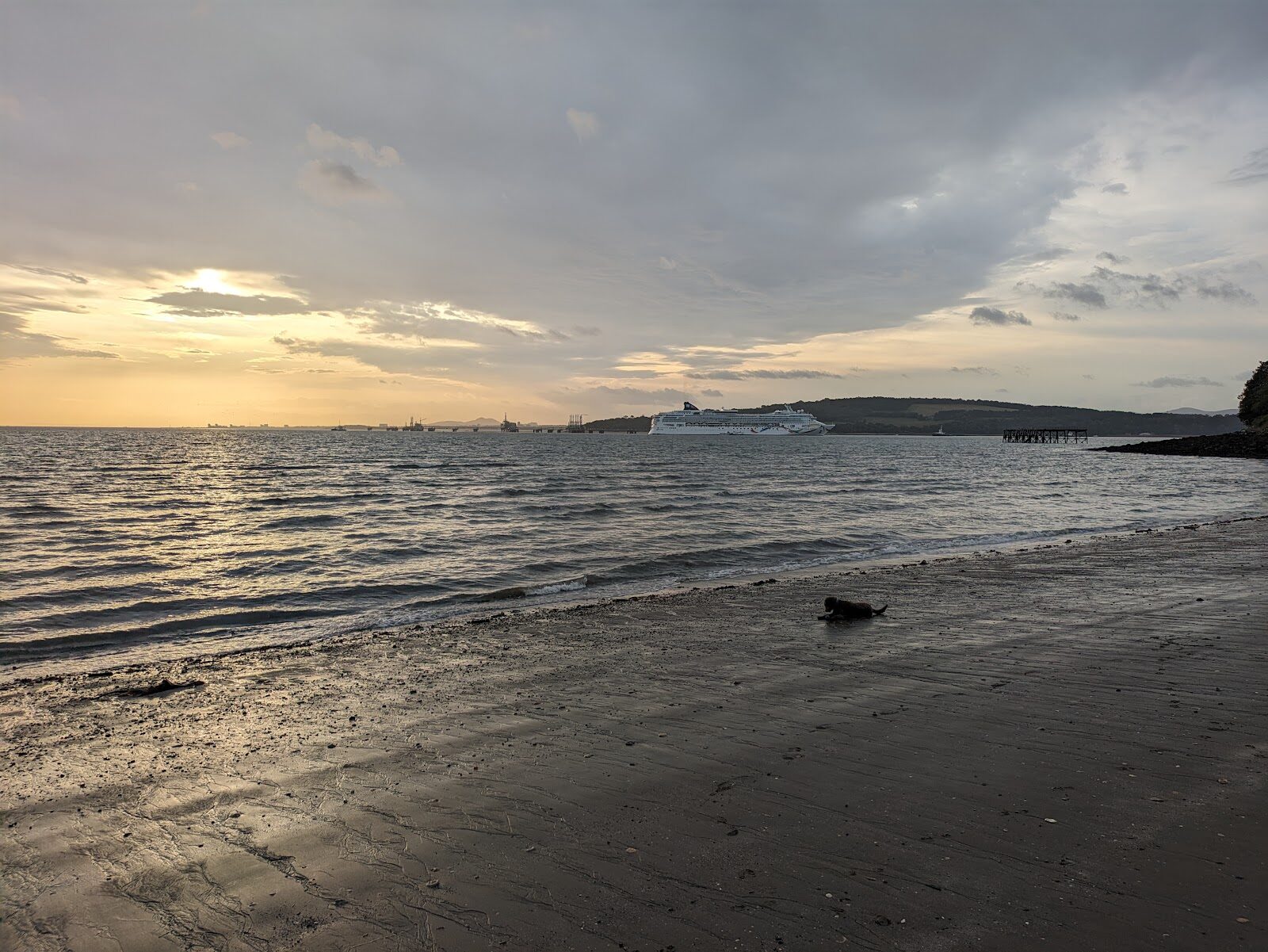
The path climbs onto Carlingnose Point, a small Scottish Wildlife Trust reserve on a headland that was once quarried. Its grassland is rich in wild flowers, with rarities such as dropwort and field gentian. Finches and warblers nest in the gorse, fulmars use the old quarry cliffs, and spring and autumn bring migrant birds through. From the reserve the path goes down through woodland to Port Laing, a sheltered sandy bay on the firth. In the First World War it was a seaplane base. It's about three quarters of a mile each way, so allow an hour or so there and back, and longer if you sit on the sand.
For more of a walk, walkers' guides give a round of 5.5 km, or three and a half miles, with 121 metres of climb. It carries on round the Inner Bay at Inverkeithing and comes back by road past the station, in an hour and a half to two hours. On the reserve keep well back from the cliff edges and the quarry faces, where the rock is loose, and keep dogs close. From November to January, set off on the longer round by 12.30pm.
If it rains
The headland is open to the wind off the Forth and the woodland path down to the bay gets slippery, so this is best in the dry. On a wet day the view of the bridge from the car park is still worth the stop.
Before you go
Book accommodation nearby
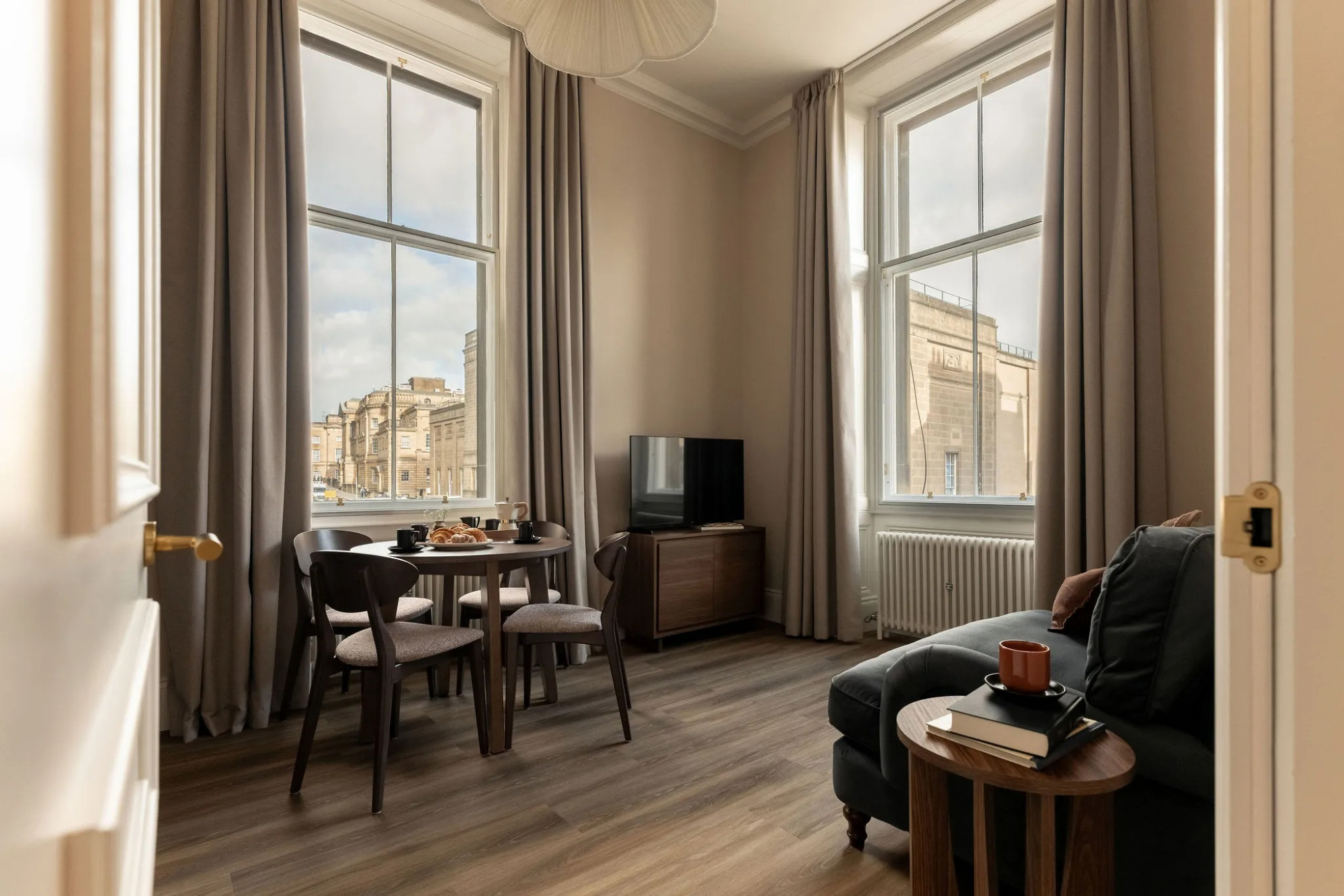
If you are staying over: here are ours nearest where the day starts and ends.
(1)-large-1778448485.jpg)
For further reading, before you go.
Photograph by Colin Law via Google