
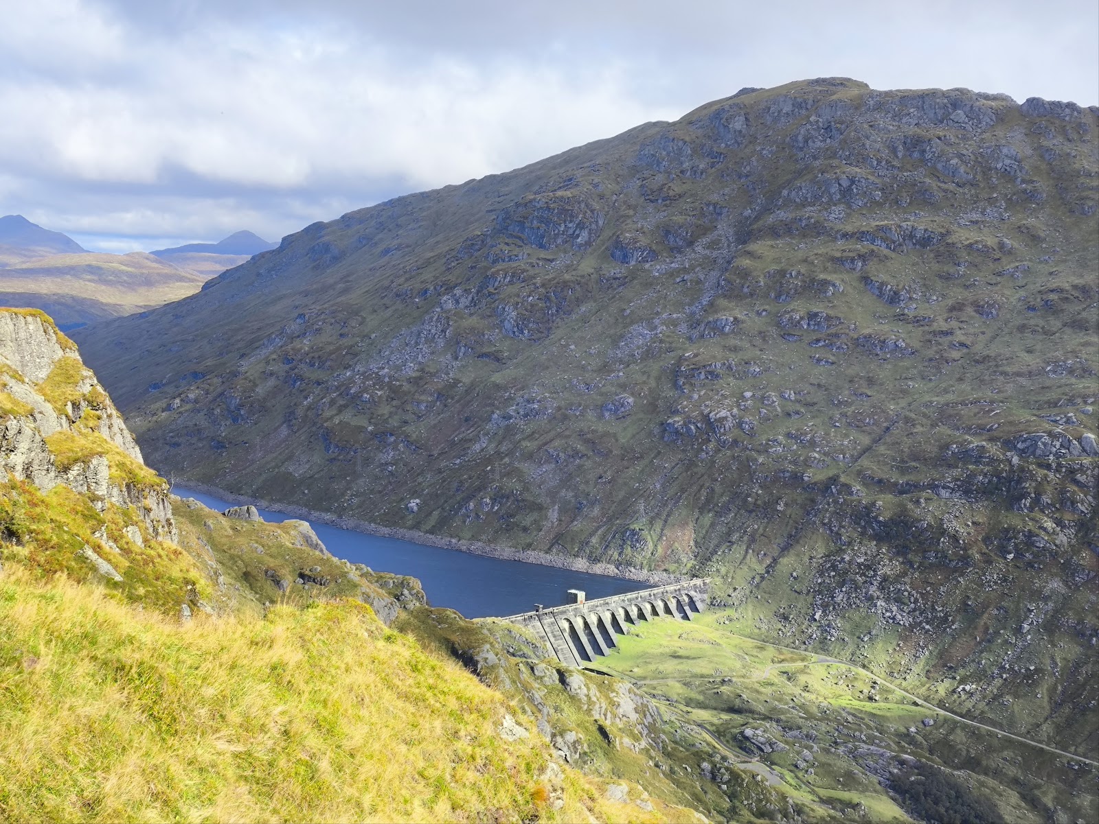
Ben Vane – Up the Steep Side Above Loch Sloy
7 miles · 4½ to 6 hours · a hill · there and back
paid parking · toilets
Ben Vane is a steep, rocky Munro of 916 metres in the Arrochar Alps, above Loch Sloy and west of Loch Lomond.
The usual way up starts at Inveruglas on the A82, follows the Loch Sloy road towards the dam, and climbs the hill's steep south-east side to the top; back the same way. By our map it is about 11.5 km there and back with about 930 metres of climb, and it takes about 4½ to 6 hours. Higher up, the path is forced up crags, with a couple of short scrambles, hands on the rock. It is a day for hillwalkers who can find their way with a map and compass.
Where it starts
Start at the car park at Inveruglas, on the A82 by the Loch Sloy power station (G83 7DP).
Is it for me?
Tap who is coming, or the day you have, for the answer on this walk.
Before you go
Getting there
Argyll and Bute Council lists it as a private car park; it is pay and display for the day, and no current price is published. The car park is on the A82 on the west shore of Loch Lomond, north of Tarbet. Citylink buses stop at Inveruglas, the park authority says: check the stop and the times with Citylink. From the car park the way runs south on the footway beside the A82 to the Loch Sloy road. Start early enough to be down in daylight.
On the path
About 4½ to 6 hours there and back: about 11.5 km (7¼ miles) and 930 metres of climb by our map, from the Inveruglas car park up the Loch Sloy road and the hill path to the 916 metre summit, and back the same way. A footway beside the A82 with two short flights of steps, then a tarred road with a locked gate (walkers use the kissing gate) and a track over a bridge; then a wet, boggy hill path that grows steep and eroded, up crags where a couple of short scrambles need hands on the rock (easier lines to either side), over false tops and rocky steps to the summit. A steep Munro day with short scrambles up crags and rocky steps near the top: for older children used to hill days and hands on rock, with an adult who can navigate. The map to carry is OS Landranger 56, Loch Lomond & Inveraray (1:50,000).
Good to know
All year in daylight, on a clear day with a good forecast. Keep dogs on a lead near the power station and wherever there is livestock; the crags are hard going for a dog, which may need a hand on the scrambles. The park authority lists toilets and a café at Inveruglas, with undated opening hours: do not count on them being open. None on the hill. SSE Renewables has consent to turn the Sloy power station into a pumped storage scheme and gives no dates for the work: follow any signs. Under snow and ice it is winter mountaineering ground, and no avalanche forecast covers Ben Vane (the Scottish Avalanche Information Service forecasts six other areas).
The walk
The usual way up Ben Vane starts at Inveruglas, on the A82 beside Loch Lomond, and comes back the same way. By our map it is about 11.5 km (7¼ miles) there and back, with about 930 metres of climb. Allow about 4½ to 6 hours, more with stops, in poor weather or under snow, and leave plenty of daylight for the way down. The walk in is on a tarred road, but the hill above it is steep and rocky, with several false tops. Higher up, the path is forced up crags, and in a couple of places it needs hands on the rock. The summit is 916 metres up. No public body publishes this way, a distance or a time for it.
Inveruglas is by the Loch Sloy power station, and the national park authority names it a popular start for Ben Vane. The car park is a private one, Argyll and Bute Council says, and it is pay and display for the day; no current price is published. The park authority lists a café, toilets and a picnic area there, and a Citylink bus stop on the A82. Its opening hours for them are undated, so do not count on them being open.
Before you set off, check the mountain forecast, and under snow the snow and avalanche conditions too, as Mountaineering Scotland advises for every trip. Even on a clear summer day it is often much colder and windier on the hill than by the loch, Forestry and Land Scotland warns. Wear good walking boots and carry warm, waterproof clothing, plenty of food and drink, and a torch in case the day runs long. There is no water to count on once you leave the glen. Carry a map and compass and know how to use them, and do not rely only on a phone or GPS. Leave word with someone of where you are going and when you will be back.
From the car park, walk south on the footway beside the A82, by our map, to the foot of the road up to the Loch Sloy dam. Its main gate is locked: walkers go through the kissing gate beside it. The road is private to traffic, and it climbs in zig-zags under the railway, then runs west up the glen of the Inveruglas Water. About 1.7 km past the gate, by our map, a track goes off on the left: keep on the road towards the dam. Other private roads round here end at locked gates with no way onto the hill, one guide warns, so keep to this one. Keep dogs on a lead near the power station and wherever there is livestock. SSE Renewables was given consent in July 2026 to turn the Sloy power station into a pumped storage scheme. It gives no dates for the work and says nothing of walkers, so follow any signs on the road.
About 2.3 km past the gate, below the dam, the road forks. Go left, over the bridge on the Inveruglas Water, and along the track. About 400 metres on, by our map, the hill path leaves the track on the right: it is easily missed, so watch for it. Just above the track it crosses a small burn with no bridge, by our map. After heavy rain, if the crossing looks unsafe, turn back.
The path climbs north-west up the steep south-east side of the hill. At first it is wet and boggy, then it grows steep and badly worn, with little let-up, and in places it runs up the beds of burns. There are no waymarks or signposts on the hill. At about 550 metres, some 1,800 feet up, the path is forced up crags, and in a couple of places it needs hands on the rock. Nothing calls for a rope, and the guides say there is an easier line off to either side. In the wet take it: wet rock and wet grass are treacherous here, above all in spring and autumn.
Above the crags the hill rises in a series of false tops. In cloud it is easy to stop at a knoll and take it for the summit. Near the top there are a couple of rocky steps, straightforward in summer, but a real test for a beginner coming down in poor visibility. The summit is 916 metres up, a small plateau with a cairn. Loch Sloy lies below it to the north-east, and Beinn Ime and Beinn Narnain stand close by to the south-west.
On the way up, decide early. If the cloud is coming down, the wind is rising or anyone is tiring, turn back: Forestry and Land Scotland asks walkers to turn back if they get tired. Under snow and ice Ben Vane is winter mountaineering ground, for crampons, an ice axe and the skills to use them. Its rocky steps make it a poor first winter hill, one guide says, and its false tops are harder still to read in a whiteout. No avalanche forecast covers Ben Vane. The Scottish Avalanche Information Service forecasts six other areas, from Lochaber and Glencoe to the Cairngorms and Torridon, which is no sign there is no risk here.
Ben Vane is Beinn Mheadhain in Gaelic, the middle mountain, standing between Beinn Ime and Ben Vorlich in the Arrochar Alps. On its southern slopes an old quarry gave the crushed stone for the Loch Sloy dam in the late 1940s. A conveyor belt carried it down over the lower slopes to the dam.
The way down is the way you came. Take the steep ground and the rocky steps slowly: scrambling is always harder going down, and the best line is not always plain to see. In cloud, check your line with map and compass before you leave the top. In an emergency, dial 999 and ask for the police, the national park authority says, and give a grid reference if you can. The police may send a mountain rescue team.
If it rains
None on this walk: in rain, low cloud or a high wind, leave the summit for another day. The crags and rocky steps are treacherous wet, the hill has no waymarks, and Forestry and Land Scotland asks walkers to turn back if they get tired.
After the walk
Something to do with the rest of the day, nearest the end of the walk first.
With the rest of the day
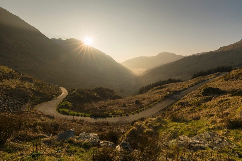 8 min by roadThings to doRest and be ThankfulThe pass at the head of Glen Croe, 803 feet up, where travellers have stopped to rest since the military road of 1749.
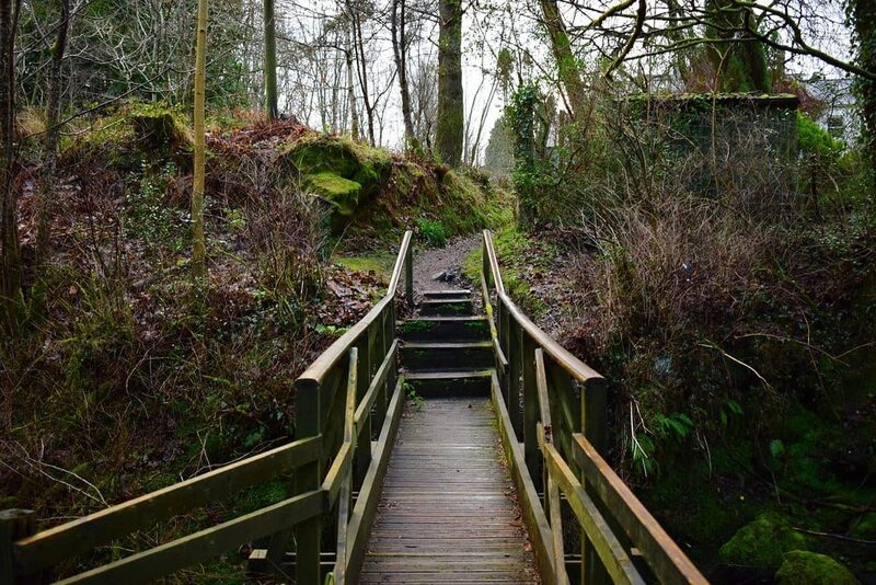 8 min by roadThings to doTarbetThe village on the narrow neck between Loch Lomond and Loch Long, below the Arrochar Alps, where Vikings dragged their boats.
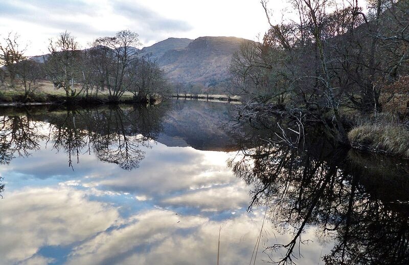 10 min by roadThings to doInverarnan CanalA short, lost canal of 1844 at the head of Loch Lomond, cut so the steamers could reach the drovers' inn at Inverarnan.
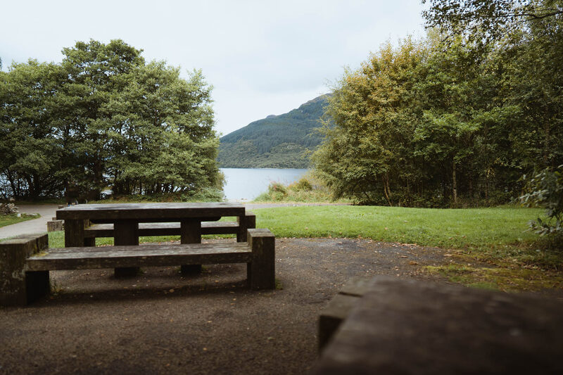 12 min by roadThings to doFirkin PointA lochside picnic spot on the west shore of Loch Lomond, with views to Ben Lomond and a level path either way.
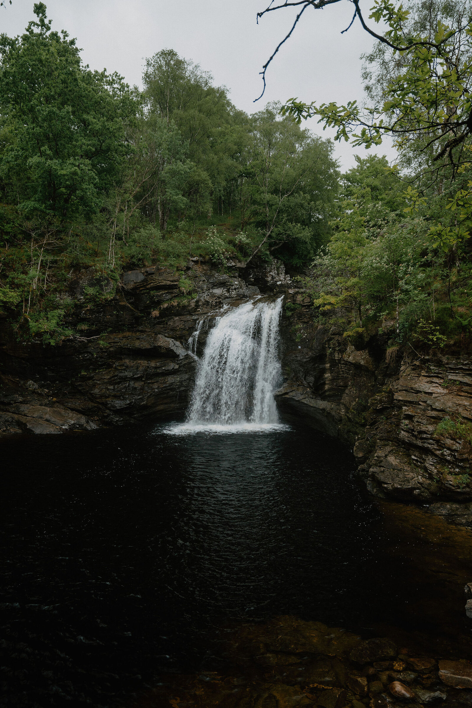
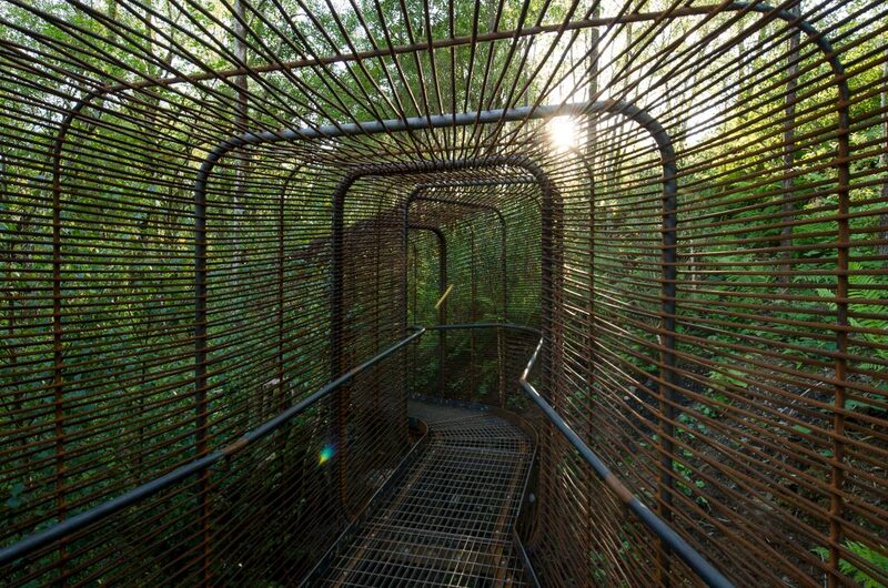 12 min by roadThings to doWoven Sound, Falls of FallochWoven Sound is a viewpoint built out over the edge of a cliff at the Falls of Falloch, where you take in the view and the sound of the falls together.
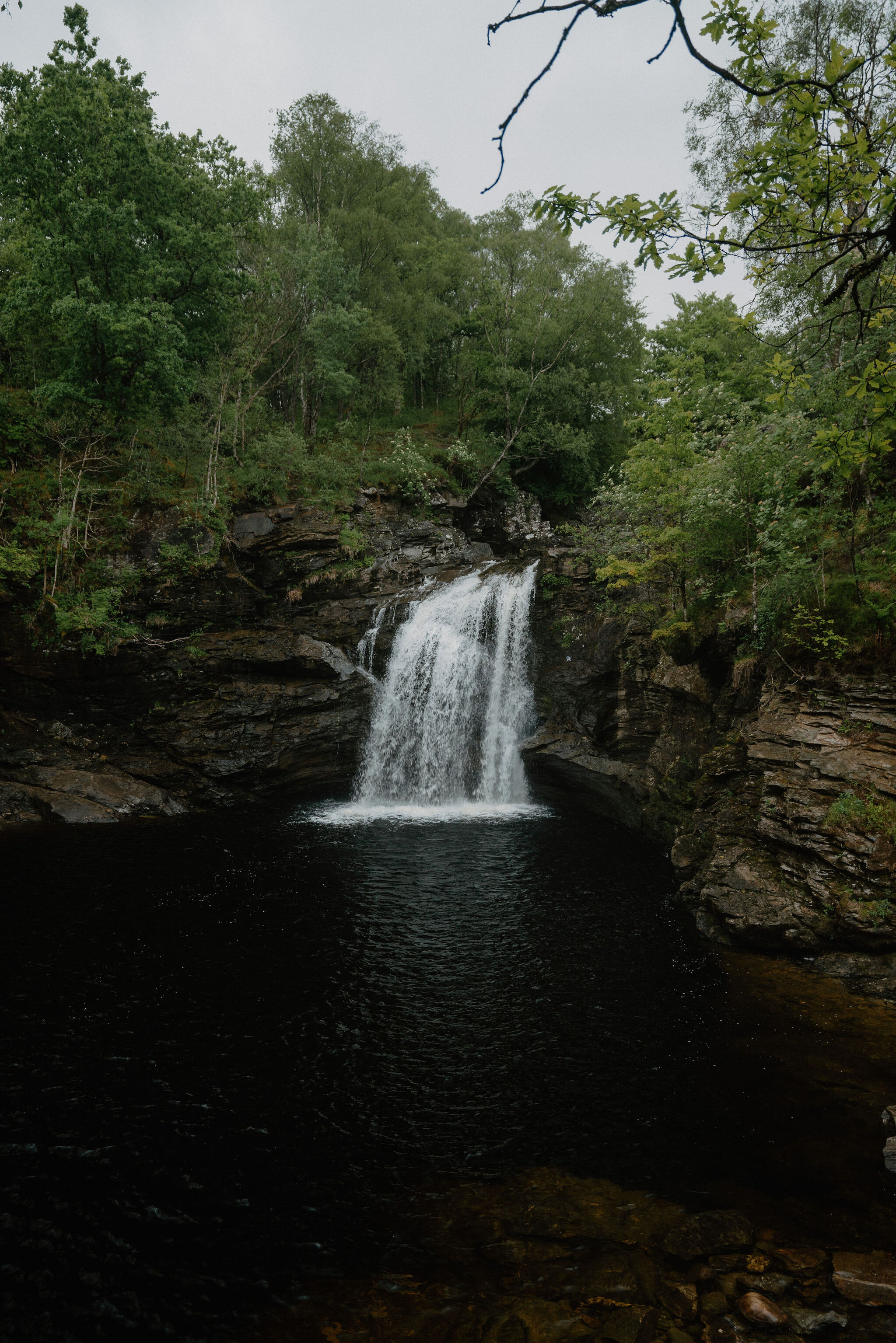 12 min by roadThings to doFalls of FallochA waterfall in Glen Falloch with a pool called Rob Roy's Bathtub and a steel viewing platform by the artist John Kennedy.
Places to stay near the walk
Our places to stay nearest the start, by road.
An advert · Crianlarich
Suie Hunting Lodge
The old shooting lodge of the Suie Estate in Glen Dochart, between Crianlarich and Killin, built about 1780 and now six rooms for two with breakfast included.
28 minutes by road
See Suie Hunting Lodge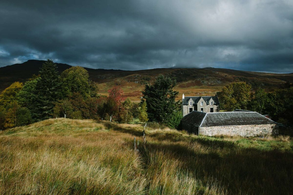
More walks near here
Within a short drive of the start.
Did this walk?
Tell the next person how it went. The best go on this page, with your name.
Find out more
For further reading, before you go.
- Ben Vane, the Munro page, Hidden Scotland↗
- Inveruglas and other places to stop, the Loch Lomond and The Trossachs National Park Authoritylochlomond-trossachs.org↗
- Respect the park, stay safe, the Loch Lomond and The Trossachs National Park Authoritylochlomond-trossachs.org↗
- Sloy power station redevelopment, SSE Renewablessserenewables.com↗
- Mountain access and safe hillwalking, Forestry and Land Scotlandforestryandland.gov.scot↗
- Safety and skills, Mountaineering Scotlandmountaineering.scot↗
- Avalanche forecasts, Scottish Avalanche Information Servicesais.gov.uk↗
- West Highlands forecast, Mountain Weather Information Servicemwis.org.uk↗
Photograph by Andrés Falcone via Google
Maps from OpenFreeMap © OpenMapTiles, data © OpenStreetMap contributors; heights from Mapzen's terrain tiles.