
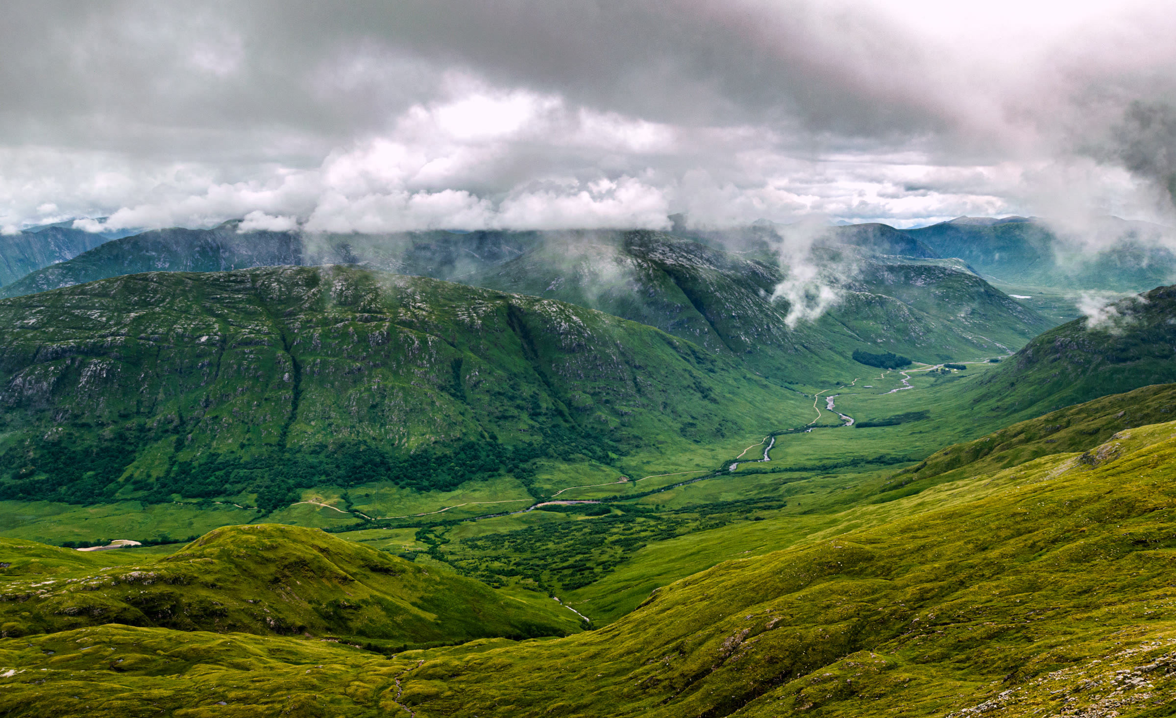
Beinn Eunaich – Up the South Ridge Above Loch Awe
About 5½ miles on foot.
Beinn Eunaich, 989 metres, rises above the head of Loch Awe in Argyll.
The usual way up starts at the Castles Farm track on the B8077 and follows farm and hydro tracks up the glen of the Allt Mhoille. Then a steep path climbs the hill's grassy south ridge to the summit, and the way back is the same. By our map it is about 9¼ km there and back with about 940 metres of climb, and it takes about 4½ to 5½ hours there and back, by our map's distance and climb. The path is steep, eroded and loose in places, with crags beside the ridge. It is a day for experienced hillwalkers who can find their way with a map and compass.
- Time
- About 4½ to 5½ hours there and back, by our map's distance and climb: about 9¼ km (5¾ miles) and about 940 metres of climb by our map. From the Castles Farm track on the B8077 up the hydro track and the steep path onto the south ridge, then north along it to the summit, 989 metres, and back the same way.
- The path
- A farm track round a field and a hydro track through gates. Then a steep hill path, faint at first and eroded, loose and slippery in places, up a grassy ridge to a stony summit.
- Where to start
- A few spaces on the verge of the B8077 between the Castles Farm track and the bridge over the Allt Mhoille, with more room by the road junction at the head of Loch Awe, two guides say. Never park in a passing place, and never block a gate or the farm's access.
- Set off
- By car: the B8077 leaves the A85 at the head of Loch Awe, west of Dalmally, and the Castles Farm track is about half a mile up it, one guide says. Without a car: buses stop on the A85 near the B8077 turn, and Loch Awe station, on the line from Glasgow to Oban, is just over a mile away, one guide says.
- When to go
- All year in daylight, on a clear day with a good forecast.
- Dogs
- Keep dogs under close control on the hill, on a lead near the cattle and sheep low down, and above all in the stalking season.
- Children
- A Munro of 989 metres with about 940 metres of climb and a steep, loose path beside crags. The weather can close in fast. For older children used to hill days, with an adult who can navigate.
- Toilets
- The start is a few verge spaces on a country road, so plan for no toilets.
- Before you set out
- Under snow it is a winter mountain, and no avalanche forecast covers it. Heading for the Scottish Hills names Inverliever Estate's stalking north of the ridge: stags from early August to 20 October, never on a Sunday, and hinds from 21 October to 20 December and 4 January to 15 February. It names no estate for the south ridge.
The walk
The usual way up Beinn Eunaich starts at the Castles Farm track on the B8077, near the head of Loch Awe, and comes back the same way. Farm and hydro tracks lead up the glen of the Allt Mhoille, then a steep path climbs the hill's grassy south ridge to the summit. By our map it is a little over 9 km (5¾ miles) there and back, with about 940 metres of climb. Allow about 4½ to 5½ hours there and back, by our map's distance and climb, more with stops, in poor weather or under snow. The summit is 989 metres up, and the start about 45 metres. No public body publishes a route, a distance or a time for this hill.
Beinn Eunaich is an Argyll hill, a few miles in a straight line from Kilchurn Castle on Loch Awe. Its close neighbour is Beinn a' Chochuill, about two and a half kilometres to the west, and most walkers climb the two together. Beyond them rise the hills of Cruachan. This walk climbs Beinn Eunaich alone, up and down its own south ridge.
The B8077 leaves the A85 at the head of Loch Awe, west of Dalmally, and the Castles Farm track leaves it about half a mile up, one guide says. Parking is very limited: a few spaces on the verge between the farm track and the bridge over the Allt Mhoille, two guides say. There is more room by the road junction at the head of Loch Awe. Never park in a passing place, and never block a gate or the farm's access. The start is a few verge spaces on a country road, so plan for no toilets.
Before you set off, check the mountain forecast, and under snow the snow and avalanche conditions too. It grows colder as you climb, about 1°C for every 100 metres, and the wind usually rises with height, MunroMagic says. Wear good walking boots and carry warm, waterproof clothing, food and drink. Carry a map and compass and know how to use them: the summit is where four ridges meet, and in cloud the ridge you want is hard to pick out. Phone reception in the Highlands is often patchy or missing, Mountaineering Scotland says. Leave word with someone of where you are going and when you will be back.
Go through the farm entrance and follow the track round the edge of a field, beside the Allt Mhoille and under a line of pylons. Just before the farm buildings, take the track on the left through a couple of gates. Highland cattle often graze by this track, and walkers have met a bull among them: give them room. This is the hydro track, and it climbs north up the west side of the glen, about 210 metres in the next 1.5 km by our map.
About 2.2 km from the road by our map, about 280 metres up, a small cairn on the uphill side of the track marks where the hill path leaves it. If you reach the bridge over the burn from the col, you have gone too far. The path climbs steeply east, then north, up the grass of the south ridge. It is faint at first, and eroded, loose and slippery in places, the guides say. By our map it climbs about 260 metres in the next 500 metres, at its steepest about 65 metres in every 100. If the cloud is coming down, the wind is rising or anyone is tiring, turn back.
The slope eases onto the crest of the ridge just north of Stob Maol, about 540 metres up. From here the path runs north, climbing more gently for about 2 km to the summit. It grows faint among patches of rocks and boulders, then clearer again near the top, one guide says. By our map a line of crags runs close beside the path on its west side, between about 15 and 75 metres off, nearly all the way to the summit. MunroMagic warns of steep slopes and crags on or near the way up: keep to the path, and in cloud know where you are.
The summit is a small stony plateau with a cairn, 989 metres, where four ridges meet, MunroMagic says. Crags fall from its east side: by our map their edge is about 50 metres from the cairn. The ridge west to Beinn a' Chochuill, and the craggy south-east and north-east ridges, are not this walk.
The way down is the way you came, south along the ridge. In cloud, check the line with your map and compass before you leave the summit, so that you set off down the south ridge and no other. Lower down, watch for where the path leaves the crest and zigzags steeply down to the cairn on the track. Do not carry on to the end of the ridge, one guide says: it ends in crags. That last steep stretch is eroded, loose and slippery, so take it slowly, then follow the track back to the road.
Under snow Beinn Eunaich is a winter mountain, for walkers with winter skills, an ice axe and crampons. The steep slope down to the track would be a problem for the inexperienced in winter, and its path may be hard to find under snow, one guide says. Fresh or deep snow can add two or three hours to the day, a walker says. No avalanche forecast covers this hill. The Scottish Avalanche Information Service forecasts six other areas, which is no sign there is no risk here.
Deer are stalked on these hills. Heading for the Scottish Hills names Inverliever Estate's stalking on the north side of the ridge, not this side, and names no estate for the south ridge. Inverliever stalks stags from early August to 20 October, never on a Sunday, and hinds from 21 October to 20 December and 4 January to 15 February. Stags may now be stalked at any time of year, Mountaineering Scotland says, and the first three weeks of October are the busiest. Keep dogs under close control, and on a lead near the cattle and sheep low down.
In an emergency call 999 or 112 and ask for Police and Mountain Rescue. Give a six-figure grid reference and a named feature if you can, Mountaineering Scotland says. To be able to text 999 where a call will not connect, register first by texting the word register to 999.
If it rains
None on this walk: in rain, low cloud or a high wind, leave the summit for another day. The path up the ridge is steep, eroded and slippery when wet, with crags beside it.
Before you go
Book accommodation nearby
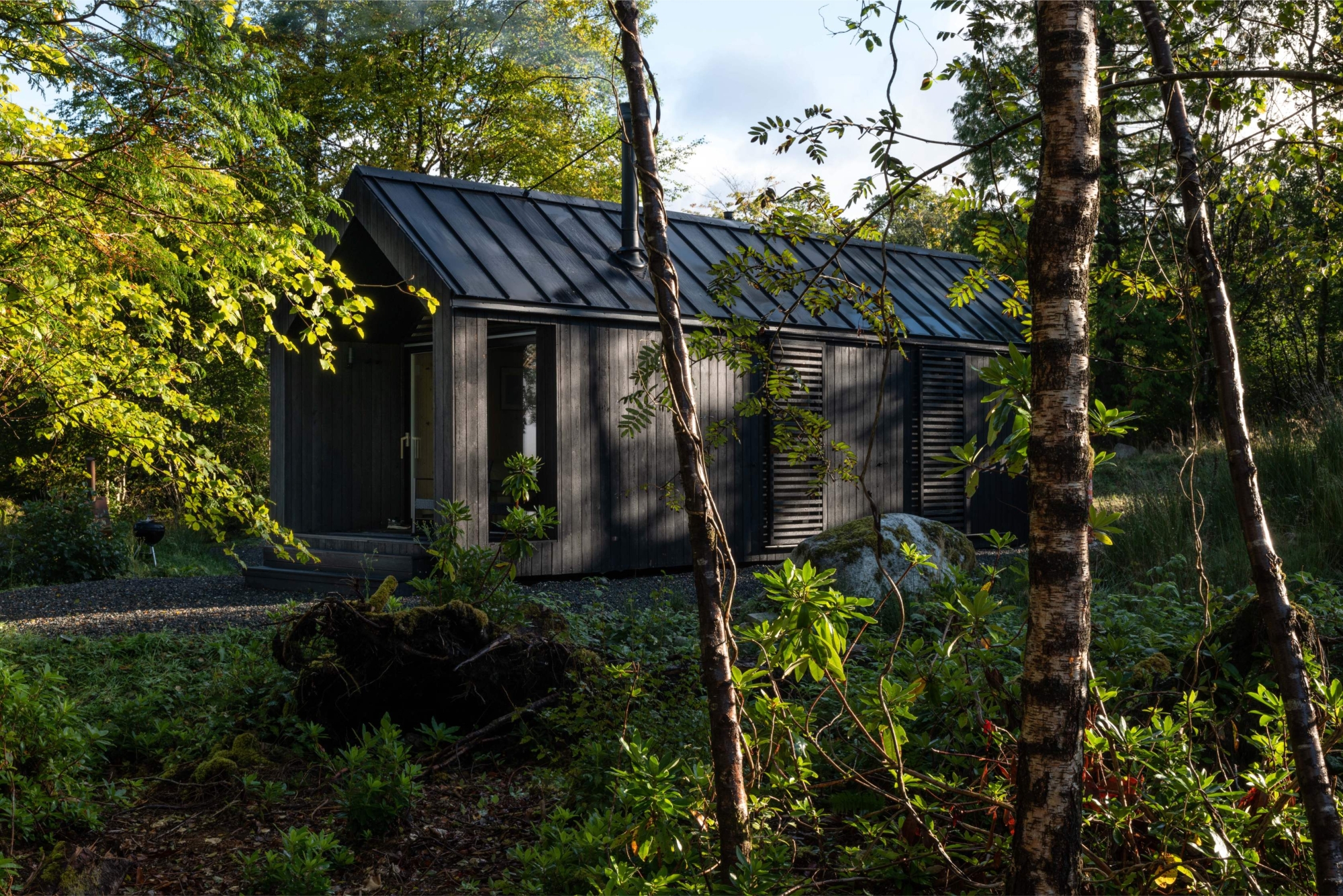
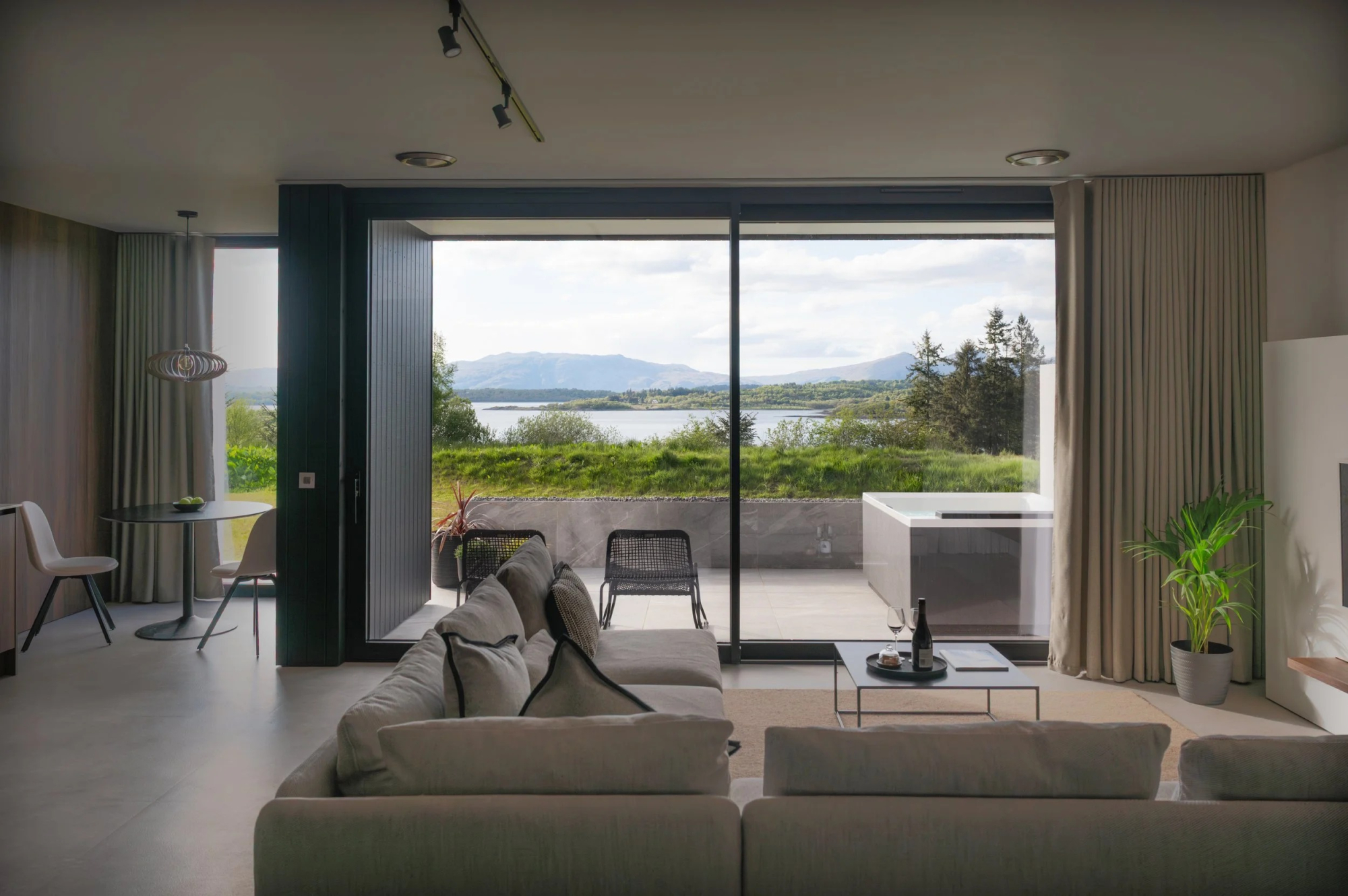
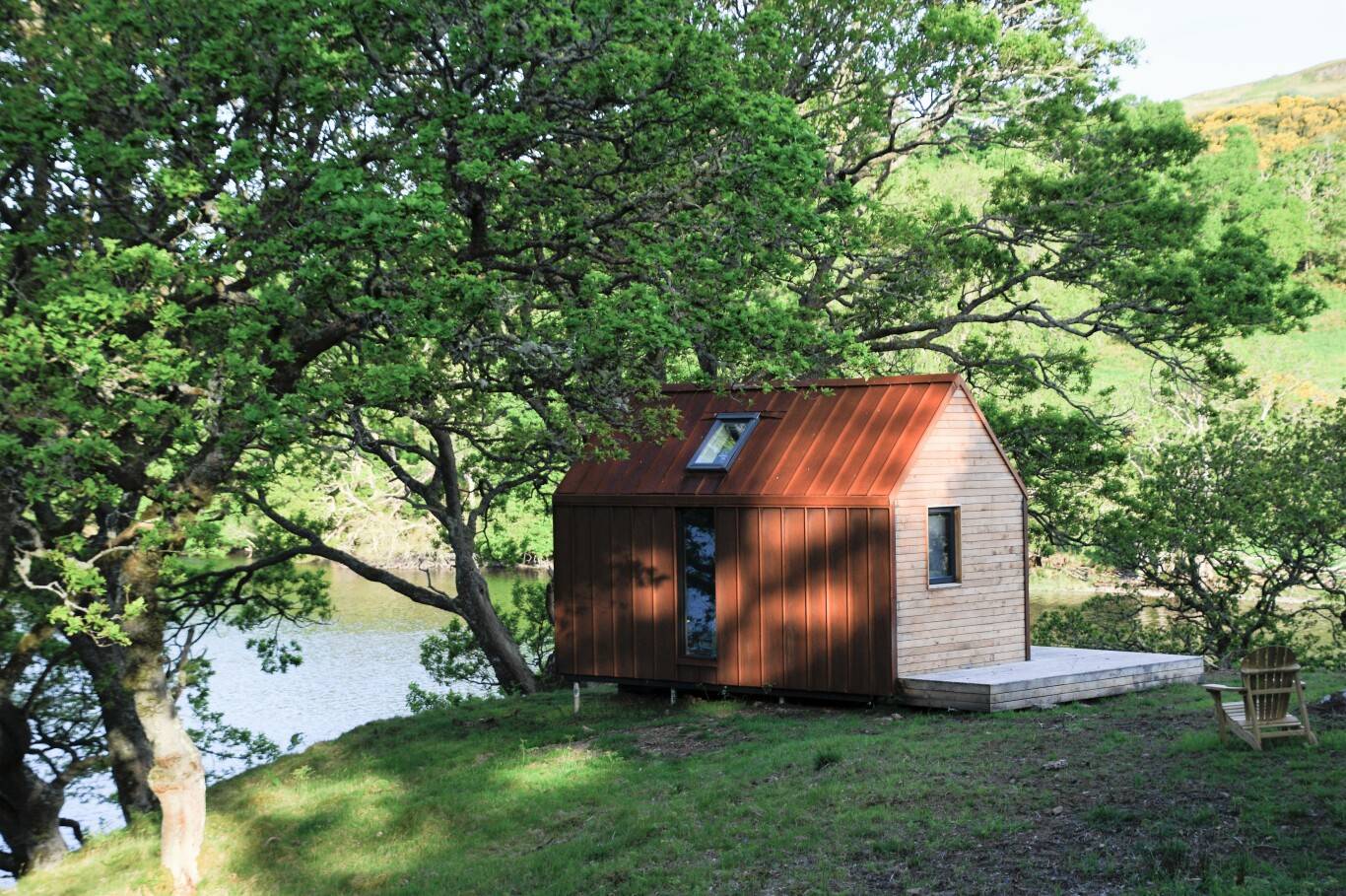
If you are staying over: here are ours nearest where the day starts and ends.
Find out more
For further reading, before you go.
- Beinn Eunaich, the Munro page, Hidden Scotland↗
- Stalking tables for the Central Highlands, Heading for the Scottish Hillsoutdooraccess-scotland.scot↗
- Deer stalking, Mountaineering Scotlandmountaineering.scot↗
- Calling for help, Mountaineering Scotlandmountaineering.scot↗
- The West Highlands forecast, the Mountain Weather Information Servicemwis.org.uk↗
- The Met Office's forecast for the summit of Beinn Eunaichweather.metoffice.gov.uk↗
- Avalanche forecasts, Scottish Avalanche Information Servicesais.gov.uk↗
Maps from OpenFreeMap © OpenMapTiles, data © OpenStreetMap contributors; heights from Mapzen's terrain tiles.