
Glengarry – A Waterfall Walk and the Well of the Seven Heads
3 miles · 15 minutes
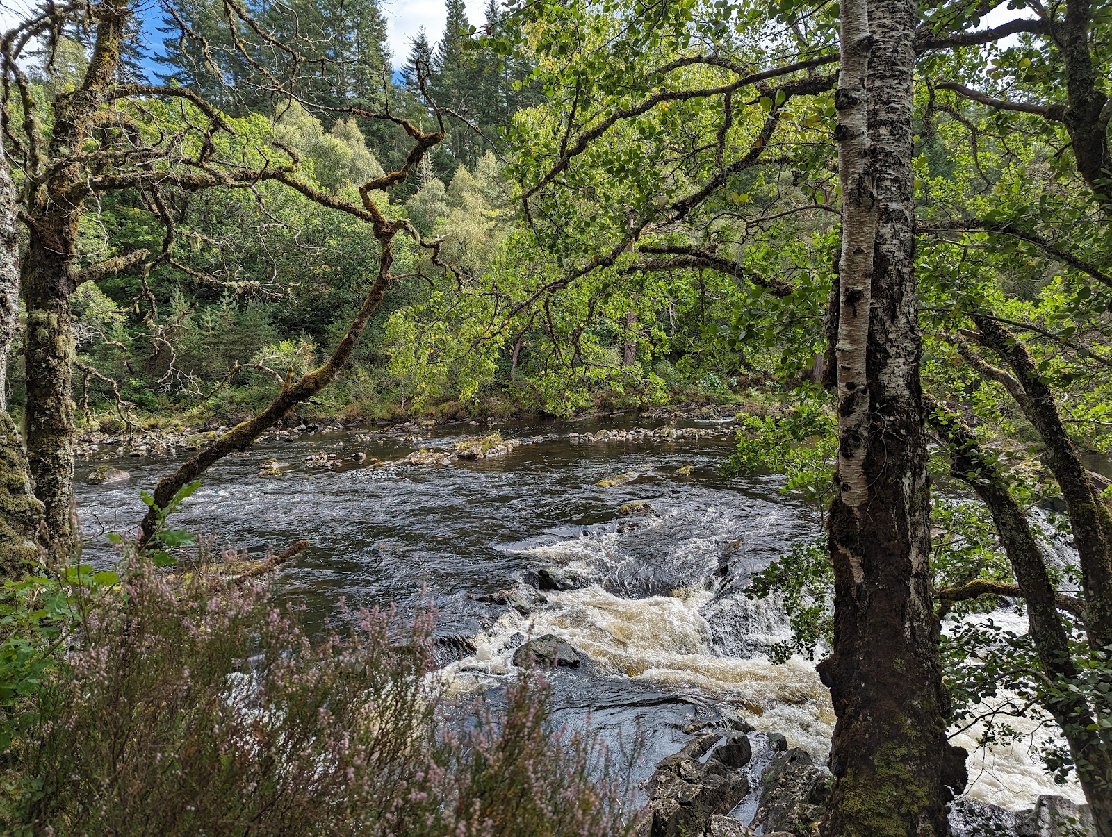
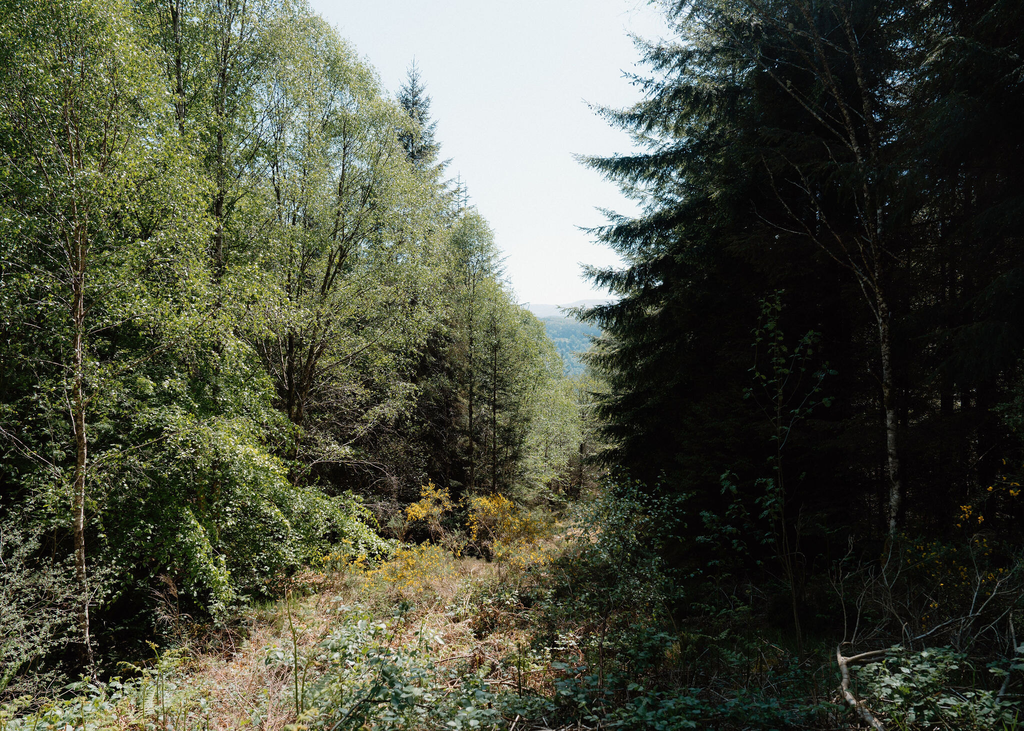
Glengarry Forest lines the River Garry just west of Invergarry, with remnants of the Caledonian pinewood among its trees.
Its longer trail follows a stream, the Allt na Cailliche, to a waterfall, and a shorter one keeps beside the river's cascades. The morning starts on the shore of Loch Oich, at a monument whose inscription tells a clan story.
Where it starts
Glengarry Forest car park, signposted off the A87 west of Invergarry: £1 for up to an hour, £3 all day, by card or RingGo; free with a Blue Badge.
Is it for me?
Tap who is coming, or the day you have, for the answer on this walk.
Before you go
On the path
About two hours on the Allt na Cailliche Trail, or three-quarters of an hour on the Ciste Dubh Trail. Gravel and earth paths, steep in places. For children, the Ciste Dubh Trail is the shorter loop; there is open water by the river.
Good to know
Any time of year, in daylight. About 10.30am. The nearest public toilets are in Invergarry.
The walk
The Well of the Seven Heads stands beside the A82 on the shore of Loch Oich, between Invergarry and Laggan.
Its inscription records that it was put up in 1812 by Colonel McDonnell of Glengarry, and tells the clan story behind the name.
Steps beside it lead down a short stone tunnel to the old well.
If it rains
The monument and its well take a few minutes. In the wet, the shorter Ciste Dubh loop is the easier choice.
Afterwards
About 5 min by car
Glengarry Forest
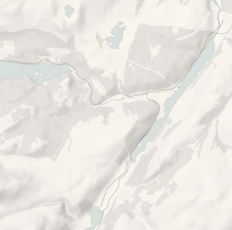
Glengarry Forest's car park is signposted off the A87 a little under two miles west of Invergarry. Parking is £1 for an hour or £3 for the day, by card or RingGo, and free with a Blue Badge.
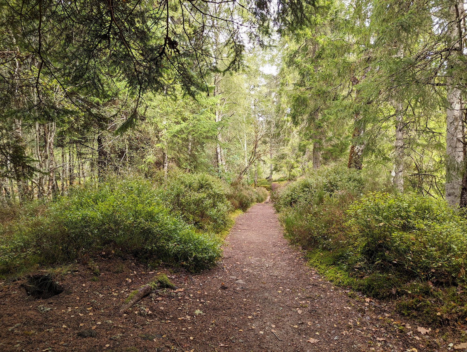
Two trails start here. The Allt na Cailliche Trail, three miles and about two hours, follows its stream through pines left from the Caledonian forest to a waterfall, with one long steep slope and a quiet road to cross. The Ciste Dubh Trail is a loop of a mile and a quarter, about three-quarters of an hour, beside the river's cascades, where kayakers ride the rapids. Both paths have tree roots and some muddy patches, so wear boots. Paths may be diverted at times: follow the signs. Bring a picnic: there is a picnic area. The nearest public toilets are in Invergarry.
After the walk
Coffee and cake, something to do with the rest of the day, and dinner, nearest the end of the walk first.
Straight after
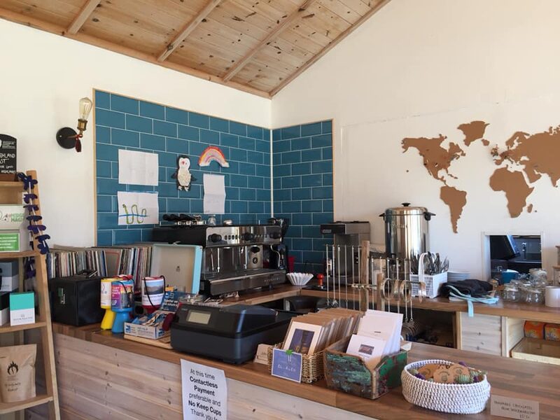 22 min by roadA caféGlen Rowan CafeA small, family-run café on the Skye road at Invermoriston, near Loch Ness, for breakfasts, homemade cakes and good coffee, with plenty for vegans.
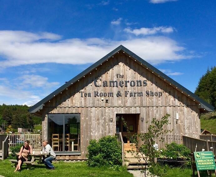 27 min by roadA caféThe Camerons Tea RoomA timber tearoom and farm shop at Foyers on the quiet south side of Loch Ness, with home baking, soups, and Highland cattle in the fields outside.
With the rest of the day
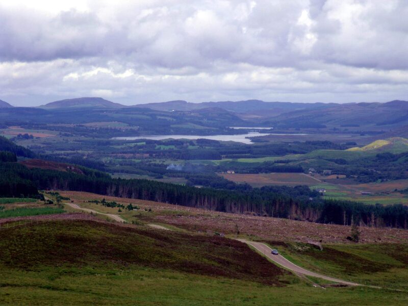 13 min by roadThings to doSuidhe ViewpointA high viewpoint on the South Loch Ness Trail above the B862 beyond Fort Augustus, with views over South Loch Ness and Stratherrick.
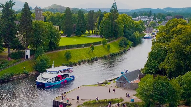 14 min by roadThings to doCruise Loch NessCruises and speedboat trips on Loch Ness from Fort Augustus, run by a local family since 1968, from a gentle 50-minute cruise to a high-speed RIB ride.
For dinner
Seasgair by Michel Roux Jr in Torlundy, 29 minutes by road. Michel Roux Jr's restaurant at Inverlochy Castle, below Ben Nevis outside Fort William: drinks in the Great Hall at seven, then five courses from local produce.
Places to stay near the walk
Our places to stay nearest the start, by road.
An advert · Fort Augustus
The Lovat Hotel
A family-run hotel in Fort Augustus at the southern tip of Loch Ness, on the site of an 18th-century fort, with Station Road, its three-Rosette restaurant.
13 minutes by road
See The Lovat Hotel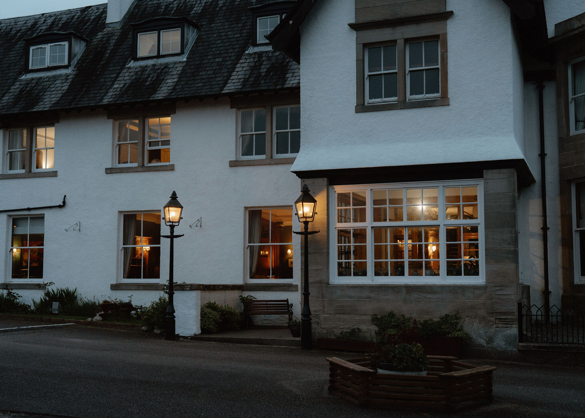
More walks near here
Within a short drive of the start.
Did this walk?
Tell the next person how it went. The best go on this page, with your name.
For further reading, before you go.
Photographs by Well of the Seven Heads coffee & takeaway and Fernando Melkor via Google
Maps from OpenFreeMap © OpenMapTiles, data © OpenStreetMap contributors; heights from Mapzen's terrain tiles.