
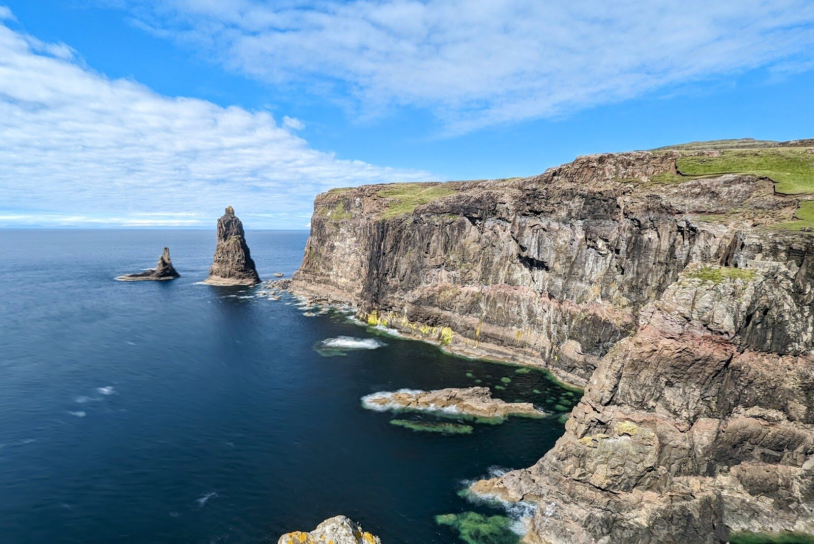
MacLeod's Maidens – Three Sea Stacks at the End of Duirinish
About 10.6 miles on foot.
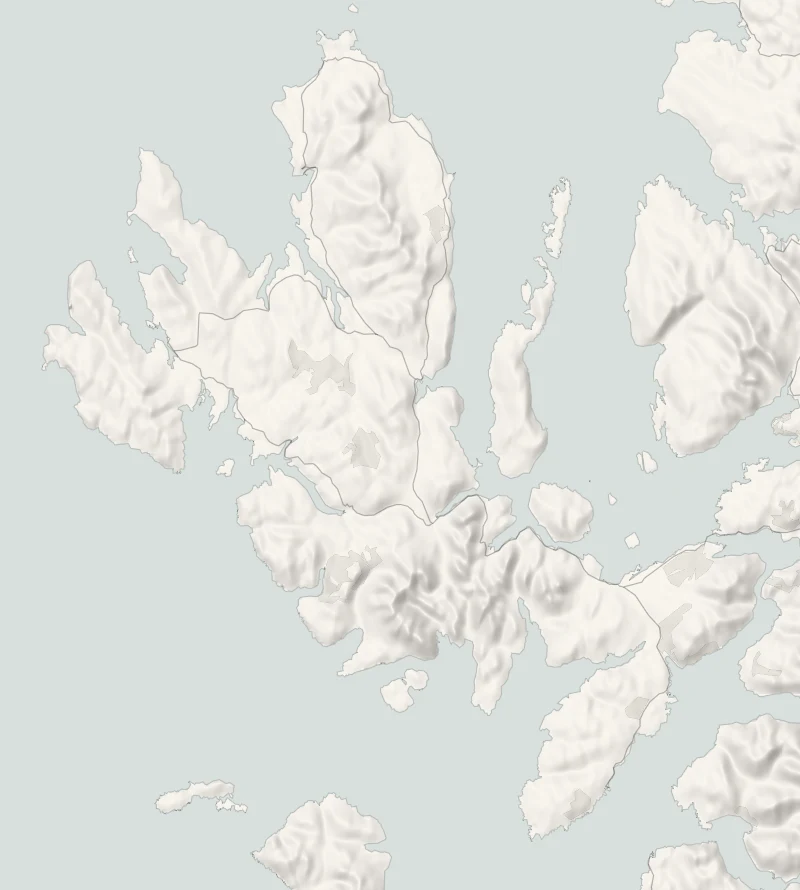
MacLeod's Maidens are three sea stacks off Idrigill Point, the southern tip of Duirinish, and the tallest stands more than seventy metres out of the water.
They're reached on foot from Orbost: 17 km there and back along the coast, past two ruined townships. It takes five to six hours and there's nothing out there, so it wants a dry day and an early start.
- Time
- Five to six hours: 17 km there and back with 589 m of climbing, on a clear path that fades near the stacks. A long, fairly strenuous day.
- The path
- A track round the bay, then a rough path over moor, boggy in places; pathless near the stacks.
- Where to start
- The small gravel car park at Orbost, at the end of the minor road south of Dunvegan: about five cars, on private ground.
- When to go
- All year in daylight, on a dry day. From November to January be walking by 9.30am.
- Dogs
- On a lead near the sheep and deer.
- Children
- Too long for young children, with sheer, undercut cliffs at the end.
- Toilets
- None on the walk.
- Before you set out
- No shelter and no water on the walk. The cliffs at Idrigill Point are sheer and undercut, and the last stretch has no path.
The walk
Park in the small gravel car park at Orbost, at the end of the minor road, south of Dunvegan. It has room for about five cars and stands on private ground, so park tidily and leave the farm's gates clear. Walkhighlands gives the walk as 17 km there and back with 589 metres of climbing, five to six hours. The way goes past Orbost House to the shore of Loch Bharcasaig, round the bay and through a plantation behind a deer fence. Beyond it lie two shoulders of moor, the ruins of Brandarsaig and Idrigill, and the cliffs at Idrigill Point. The path is clear and good for most of the way and boggy in places.
It fades for the last stretch near the stacks, where you cross open ground above a long drop. The first thing you see is the top of the tallest stack. She is the Mother, and the two beside her are the Daughters: in island tradition, the drowned wife and daughters of a MacLeod chief. Go carefully near the edge. The cliffs are sheer and undercut, and the best view is from well back. Idrigill was still a township on a map of 1824 and was empty by 1877.
There's no shelter, no water to rely on and no shorter way back than the way you came, so carry food, drink and waterproofs. Sheep and deer are on the ground, so keep dogs on a lead. From November to January, be walking by 9.30am. At midwinter the walk uses nearly all the daylight there is.
If it rains
Six hours with no shelter is a long time in rain, the moor path turns to bog, and the pathless ground above the cliffs is no place to be in poor visibility. Keep it for a settled day.
Before you go
Book accommodation nearby
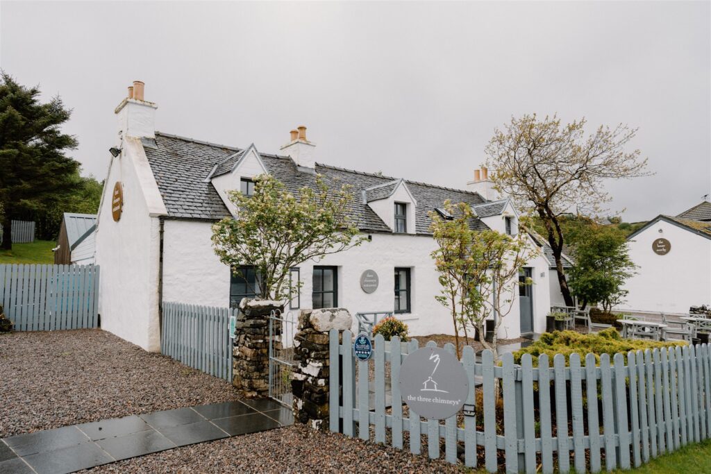
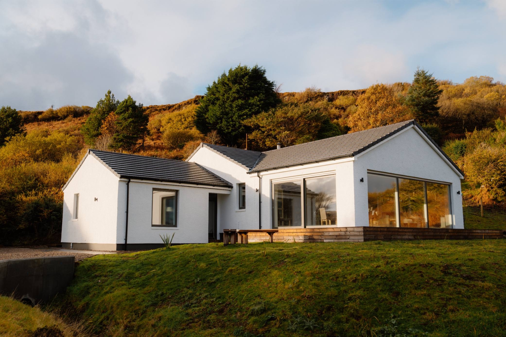
If you are staying over: here are ours nearest where the day starts and ends.

For further reading, before you go.
Photograph by The Lookout Skye via Google