
The Moray Pictish Trail – 50 Miles of Stones, Forts, and Forgotten Symbols
A day by car, from Rodney’s Stone to Findlater Castle.
 Written by Jack Cairney
This route through Moray follows the echoes of a people who left no written records, but carved their presence into slabs of sandstone and the bones of old strongholds. The Picts weren’t a single tribe or kingdom, but a loose weave of communities across northern Scotland, active from the Late Iron Age through to the early medieval period. What they left behind is scattered, fragmentary, but if you know where to look, it’s enough to map a day around.
The trail begins quietly near Forres and ends at the harbour in Portsoy. Along the way, it passes standing stones, fortified headlands, ritual spaces and ruined towers, and just enough sea air to blow the dust off the early parts of the day. You’ll cover around 50 miles, mostly on quiet A-roads and coastal lanes. It’s possible to complete it in one unhurried day, with a well-timed lunch.
There are no admission fees except your own attention span. Interpretation is light in some places, so bring a sense of curiosity and shoes you don’t mind getting wet. If the tide’s right, you’ll walk into a cave marked with symbols that outlived the culture that carved them. If not, there’s still more than enough above ground.
- How
- A day by car
- Distance
- About 58 miles
- Starts
- Rodney’s Stone
- Ends
- Portsoy Ice Cream
- Good for
- Food and drink, Castles, Walks, History
The day
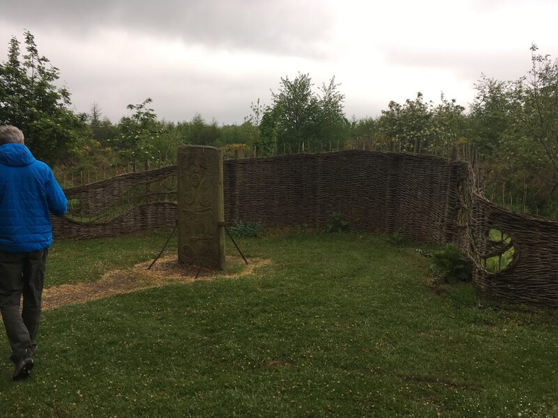
Rodney’s Stone
An attraction
There’s nothing grand about the setting: a small patch of grass beside the village road, partway between Dyke and Brodie. But this stone is one of the most important Pictish cross-slabs still standing in Scotland. Over 1,200 years old, Rodney’s Stone bears a rare combination of pagan and Christian symbolism that speaks to a period of transition, when the old Pictish kingdoms were beginning to adopt the religion of Rome but hadn’t yet let go of their own ways of seeing the world. At two metres high, the stone is large but not imposing. What draws attention is its detail. One face carries a finely proportioned ring-headed cross, typical of later Pictish slabs. The other is more arresting: a double disc and Z-rod at the top, followed by a menagerie of Pictish symbols: a beast that might be a hunting hound, a mirror case, a serpent, and possibly a fish. These were not ornamental. They likely held tribal, religious, or familial meaning, part of a symbolic system now mostly lost to time. The stone didn’t always stand here. It was discovered nearby in the 18th century, repurposed as a gatepost on the Brodie estate, and later moved to its present spot for preservation. The name “Rodney” was added during that time to honour Admiral Rodney, an 18th-century naval hero, giving the monument a layer of Georgian patriotism unrelated to its true origin. There’s a layby for parking beside the lane, and a short walk brings you face to face with the stone. There’s no visitor centre, and signage is minimal. But you don’t need much. The carvings are sharp, the air is still, and the presence of the thing, carved by hand over a thousand years ago, is enough.
More about Rodney’s StoneThe rest of this day is for members.
7 more stops, what to do at each, and the drive between them. Members read every one of our days, and the magazine.
Sueno’s Stone
An attraction
Burghead Pictish Fort
An attraction
Sculptor’s Cave
An attraction
Rockpool Café
Food and drink
Bow Fiddle Rock
An attraction
Findlater Castle
An attraction
Portsoy Ice Cream
A café
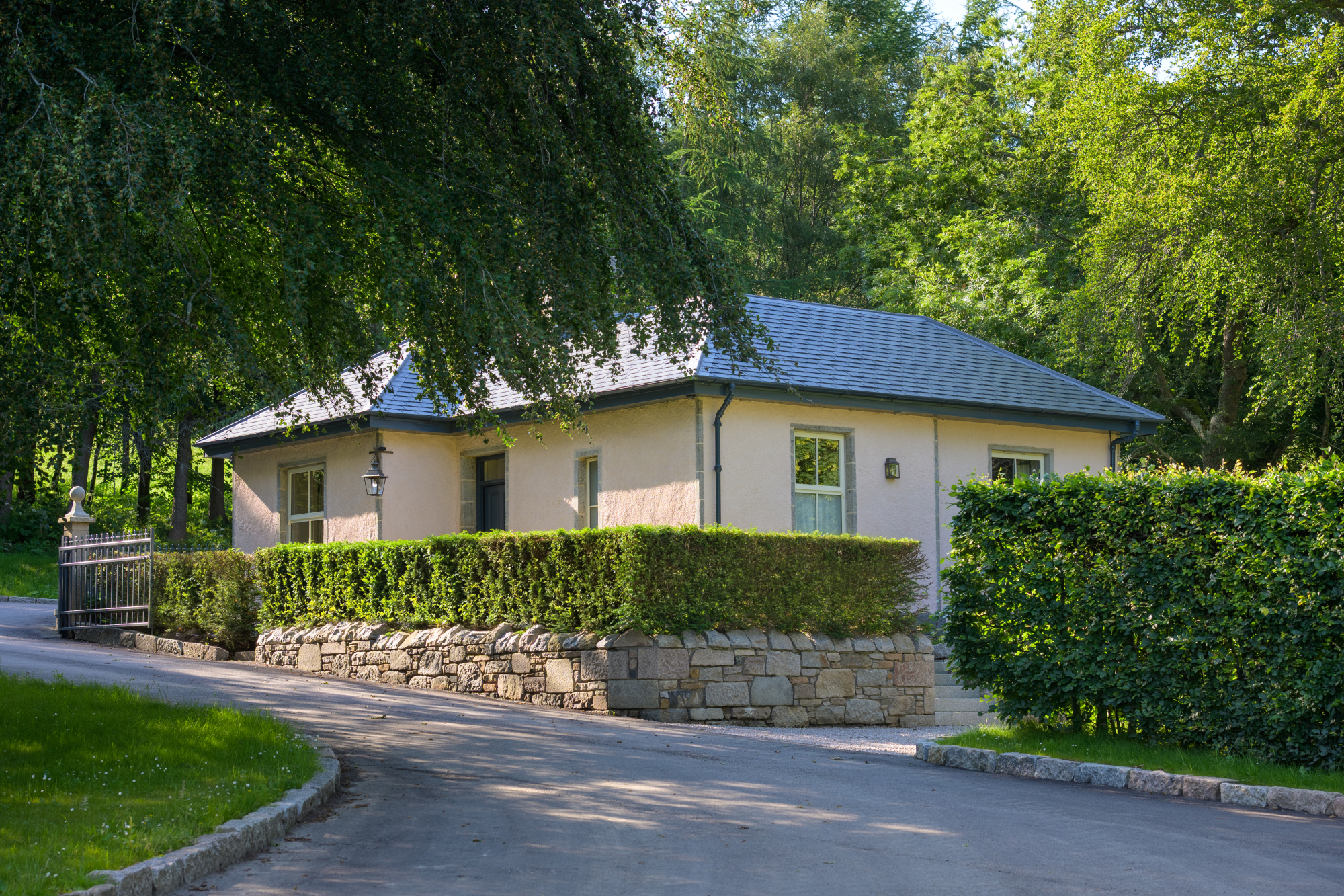
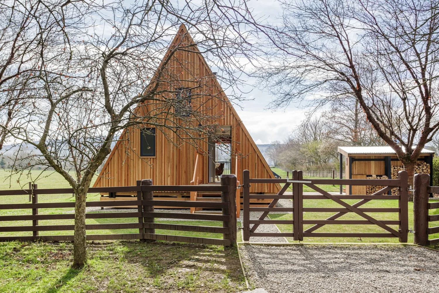
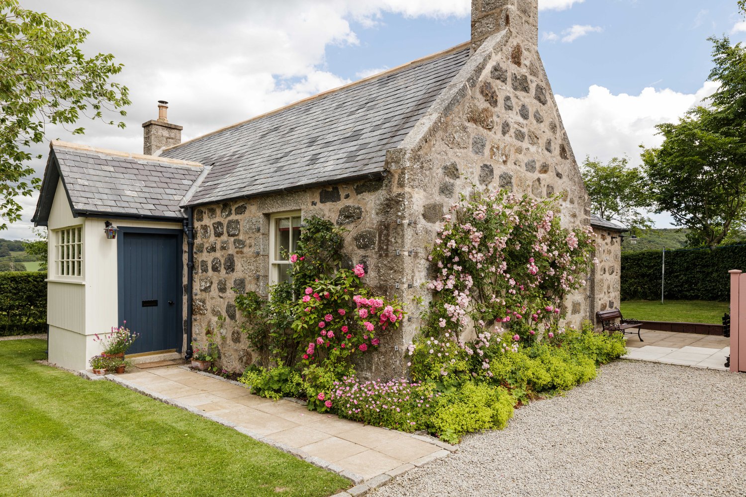
Places to stay near where the day ends, and when each is next free.
Make it a weekend
Days that start near Findlater Castle.
.jpg)
 (2).jpg)
.jpg)
Photograph by Rob Dunn via Google