
The Moray Coast – Seals, a Pinewood and a Sandstone Cove
A day by car, from Elgin and back.
The route
Between the mouth of the Findhorn and Lossiemouth, the Moray coast is one long run of pale sand and dunes, broken by small harbours and low sandstone cliffs.
This day out from Elgin takes it beach by beach, west to east. It starts at Findhorn, where seals lie out across the mouth of a tidal bay, then turns back east to Roseisle, whose pinewood runs down to the long curve of Burghead Bay. Past Burghead, Hopeman keeps a row of beach huts above its rock pools, and a coast path to Clashach Cove, where the sea has cut a tunnel through the rock. Lunch is by the marina in Lossiemouth, then a footbridge over the river to the dunes of East Beach.
Before you go
Tables are booked by phone, for between 12 and 2.
The day
Beaches
A day along the Moray coast, from the seals at Findhorn's bay mouth to the dunes of Lossiemouth's East Beach. The morning is for the wide, open sands at Findhorn and Roseisle; then come Hopeman's beach huts, the cliff path to Clashach Cove and a late lunch by the marina. Leave Elgin at about nine.
1 hr 22 min at the wheelAbout 39 miles by carAbout 2.5 miles on foot
Findhorn Beach
An attraction
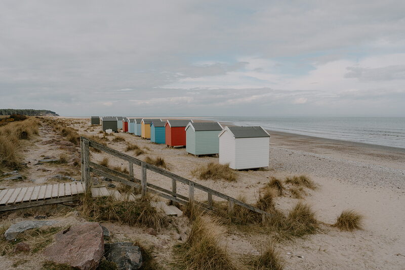
It's 27 minutes' drive west from Elgin, by Kinloss, to Findhorn, at the mouth of its tidal bay. Cross the dunes from the West Beach car park by the marina. At low water the sand runs out flat and wide; at high tide only the pebbly top is left. Seals lie out across the bay mouth, where the channel runs deep and fast: watch from the shore, never swim there, and walk east past the beach huts instead. The Captain's Table, by the marina, opens at 9.30am for coffee.
17 min by car
Roseisle Forest
An attraction
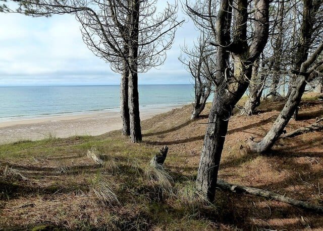
Drive 17 minutes back east by Kinloss to Roseisle, where a pinewood runs down to Burghead Bay, one long curve of sand from Findhorn to Burghead. Paths lead from the car park through the trees and over the dunes. Along the shore stand the concrete tank blocks and pillboxes of the Second World War's coastal defences, many of them shifted by the moving sand from where they were set. There is no café here, but picnic tables and a play area sit among the pines: bring something to eat.
13 min by car
Hopeman East Beach
An attraction
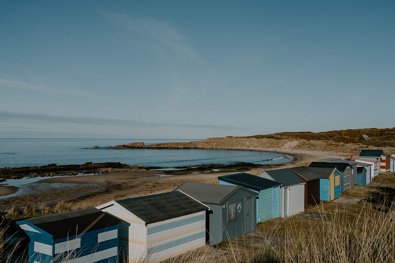
Hopeman, a fishing village founded in 1805, is 13 minutes' drive east, by Burghead and through Cummingston. Park behind the East Beach, the larger of the two beaches either side of its harbour. Colourful beach huts line the top of the sand, and the rocks at its eastern end hold big rock pools, the one at the far edge known as Daisy Rock. When the swell is up it's a surfing beach, and dolphins are sometimes seen out in the firth.
25 min on foot
Clashach Cove
An attraction
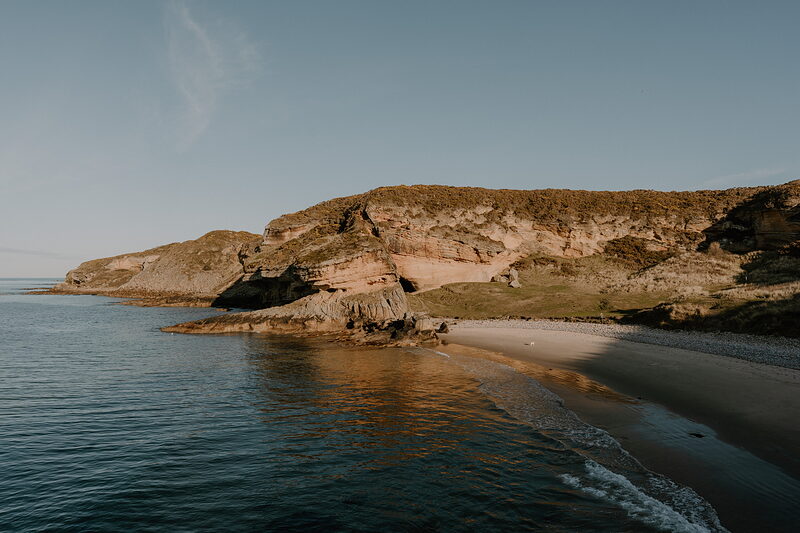
From the huts it's about 25 minutes' walk east to Clashach Cove, along the cliff top by Hopeman's golf course, and the same back. There are steps and the way down is steep: keep children and dogs close. The sea has carved a tunnel through the sandstone here. The golf club's 12th green sits in the cove, 30 metres below its tee, and golfers play down to it: keep off the green and watch for play. The quarry beside the cove, still worked, is protected for its fossil footprints.
25 min on foot back to the car, then 13 min by car
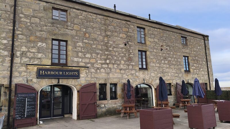
Harbour Lights
Back at the car, it's 13 minutes' drive east on the B9040, by Covesea, to Lossiemouth. Harbour Lights overlooks the marina from Pitgaveny Quay: a daytime café doing breakfasts all day, lunches, snacks, home baking, teas and coffees. The day reaches it at about half past one: ring ahead and book a table for then. Leave the car by the harbour for the rest of the day. Lossiemouth is home to RAF Lossiemouth, and on most weekdays its jets are heard over the town.
10 min on foot
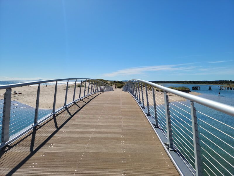
Lossiemouth East Beach
From the café it's about 10 minutes' walk along the waterfront to the footbridge over the River Lossie, opened in 2022 in place of an old wooden one whose posts still stand upstream. Over it, the dunes lead out to East Beach: pebbles near the town, then at low tide a long, wide stretch of pale sand looking across Spey Bay to Buckie. The river by the bridge is tidal and fast: keep out of it and away from its mouth. Elgin is 12 minutes' drive home from the harbour.
If it rains
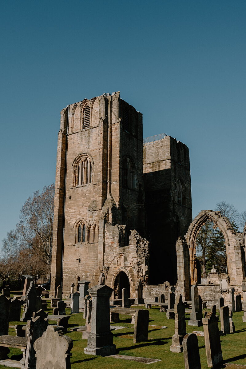
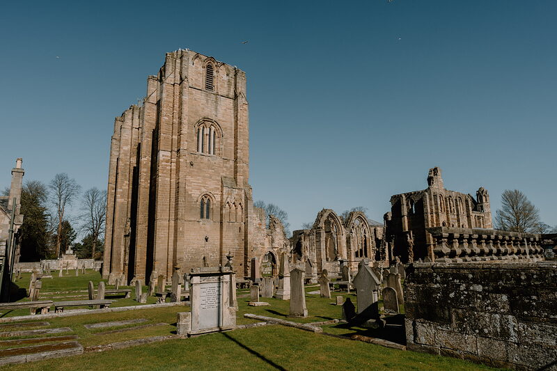
The beaches can be walked in most weather in a good coat, and the tide comes and goes regardless. Haar, the cold sea fog of the east coast, can roll in off the firth and hide the sea altogether; in a northerly gale leave out the cliff path to Clashach Cove. Harbour Lights is the day's roof. In Elgin, 12 minutes' drive from Lossiemouth, Johnstons of Elgin, the woollen mill near the cathedral, opens its shop every day, with the Weavers Coffee Shop beside it. Elgin Cathedral, a ruin a short walk from the mill, stands open to the sky: one for a gap in the rain.
Worth a detour
- Burghead
The road to Hopeman goes through Burghead, on its point at the end of the same bay. Its harbour warehouses were designed by Thomas Telford, and the town has shops, places to eat and toilets that are open all year: the place to buy a coffee, or a picnic, before a late lunch. For the beach, the nearest car park is on Station Road, with a slipway down to the sand. It adds about 5 minutes' drive on to Hopeman.
- Lossiemouth West Beach
The town's other beach is about 20 minutes' walk west of the harbour, through the town. It is wilder than East Beach, with rock pools, cliffs and caves, and at low tide its wide, flat sands run out towards Covesea Lighthouse. On most weekdays the jets of RAF Lossiemouth are seen from here as well as heard. Walk there and back from the harbour, and leave the car where it is.
Photographs by Mary and Angus Hogg; Phil Conkie and Duncan Macpherson via Google