
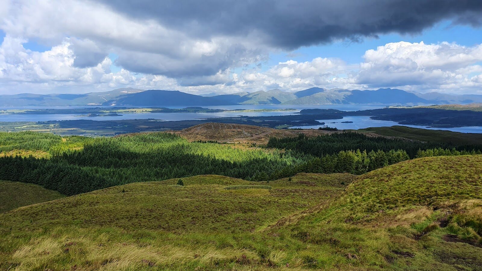
Beinn Lora – The Eagle's Eyrie above Benderloch
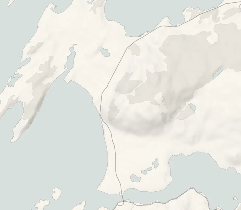
Beinn Lora is a small hill with a very big view.
A steep forest trail climbs from the edge of Benderloch to a ledge called the Eagle's Eyrie, where Mull, Lismore and the hills of Morvern are laid out across the water. Carry on through the forest gate and the open hill leads to the summit at 308 metres.
- Time
- About an hour and a half: Forestry and Land Scotland's Eagle's Eyrie Trail, 3.3 km, strenuous. Two and a half to three hours with the summit, about 7 km there and back. A walk, steep.
- The path
- Long steep slopes for 500 m on wide, firm gravel and stone with uneven and loose sections; beyond the forest gate, open and often boggy ground to the summit.
- Where to start
- Beinn Lora car park, at the south end of Benderloch beside the petrol station; no charge.
- Set off
- From November to January, set off by noon for the summit, or by 1.45pm for the Eyrie alone.
- When to go
- All year in daylight. From November to January set off by noon for the summit. Keep it for a clear day: the view is the point.
- Dogs
- Under close control.
- Children
- A steep climb, and the viewpoints sit above steep ground: older children, kept close.
- Toilets
- None at the car park.
- Before you set out
- Slope work above the A828: all trails are open, but contractors' all-terrain vehicles use the forest trails.
The walk
Beinn Lora car park is at the south end of Benderloch, beside the petrol station on the A828, and there's no charge. Forestry and Land Scotland's Eagle's Eyrie Trail is 3.3 km and takes about an hour and a half. It's graded strenuous, with long steep slopes for 500 metres on wide, firm gravel and stone that's loose and uneven in places. The climb is through mixed woodland, and the reward is the Eyrie, a viewpoint that takes in Mull, the Lynn of Lorn, Lismore, the Morvern peninsula and the hills running north towards Appin. Higher still, at the edge of the forest, a gate leads onto the open hill, and the summit of Beinn Lora is across that ground at 308 metres.
It's often boggy, so wear boots, and allow two and a half to three hours for the whole walk if you go to the top. For something shorter, the Coastal Climb Trail is 1.8 km and three quarters of an hour, still steep, with sea views over Tralee Bay. Contractors working on the slope above the A828 are using the forest trails, so you may meet an all-terrain vehicle on the path. All the trails are open. There are no toilets at the car park.
Benderloch has a small shop and a seasonal café, so in winter bring a flask. Keep dogs under close control, and keep children close at the viewpoints, which sit above steep ground. From November to January set off by noon for the summit, or by 1.45pm for the Eyrie alone.
If it rains
The steep gravel is loose in places and slippery in rain, the open hill is boggy, and in low cloud there's nothing to see from the Eyrie. Keep it for a clear day.
Before you go
Book accommodation nearby
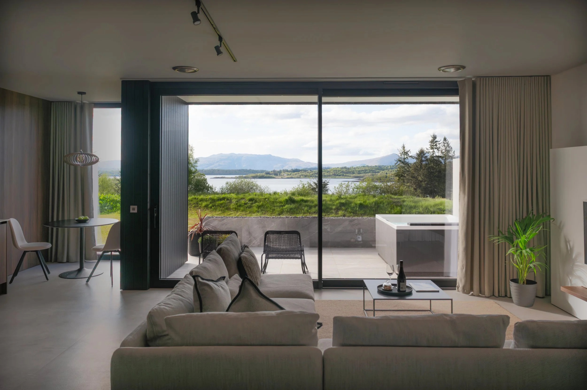
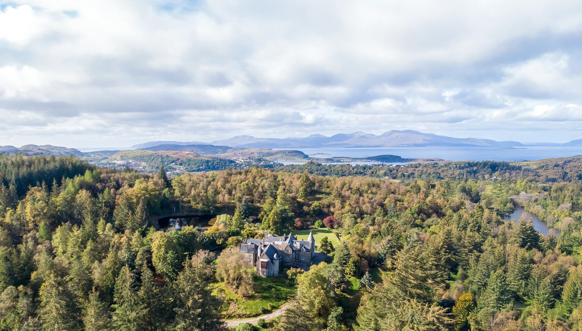
If you are staying over: here are ours nearest where the day starts and ends.
For further reading, before you go.
Photograph by Zara Shepherd via Google