
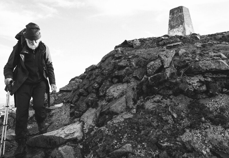
At One with the Mountains - An interview with Nick Gardner
Issue 6: Nick Gardner and his wife Janet were living an idyllic life on a croft…
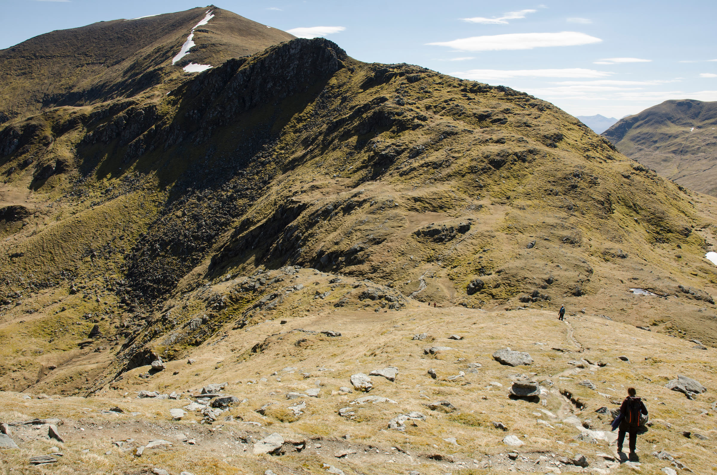
A Munro of 1,117 metres, number 35 of the 282.
An Stuc stands among the Ben Lawers hills in Perth and Kinross, with close neighbours on either side.
Meall Garbh is under a kilometre to the north-east, and Ben Lawers itself is about two kilometres to the south.
Ben Lawers is the highest mountain in Tayside and gives its name to a National Nature Reserve famous for its flora. The National Trust for Scotland bought the massif in 1950 to protect the arctic-alpine plants on its heights.
These are well-walked hills: the Trust says over 40,000 people explore them every year.
North-west wind to 15 mph, gusting 31
Dry, or nearly
Light from 7.50am to 6.14pm, ten hours
A weather model's forecast for the height of the summit, not a report from the hill. Read the mountain forecast the evening before: Southeastern Highlands forecast, West Highlands forecast, South Grampian and Southeast Highlands mountain forecast, An Stuc, No avalanche forecast for this hill.
Choose the day you mean to climb.Near or far: the light you will have, and what the summit is likely to be doing.
Under snow and ice this is a different day, with short light and the risk of avalanche. It needs an ice axe, crampons, winter boots and the skill to use them.
The summit is optional. Turning back is the right decision whenever the cloud, the wind or the light say so.
How to call for help in the hills · Safety and skills for the hills · ThinkWINTER
Nobody has written from An Stuc yet. If you were up, yours would be the first.
Were you up? Three words is enough.A free account, a word for the weather and a line if you like.
Issue 6: Nick Gardner and his wife Janet were living an idyllic life on a croft…
Issue 13: Scotland's mountains can reveal their challenges as quickly as their…
Issue 5: Here are six of my favourite bothies, all great locations for a…
For the route itself, take the map and read these.
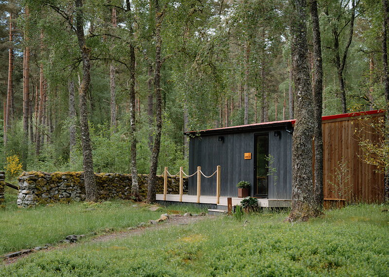
Stay: Kinloch Rannoch, about nine miles from the summit in a straight line

Stay: About nine and a half miles from the summit in a straight line
-listable-card-1774895978.jpg)
Stay: About ten miles from the summit in a straight line
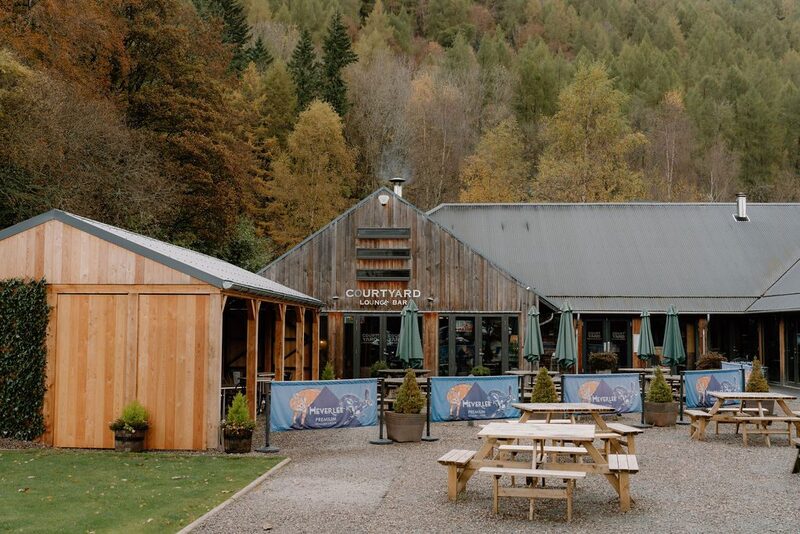
Eat: Kenmore, about eight miles from the summit in a straight line
Next along: Meall Garbh, Ben Lawers, Meall a' Choire Leith, Beinn Ghlas. Checked on 10 October 2026. The facts on this page are Killin Mountain Rescue Team's, Mountaineering Scotland's, the National Trust for Scotland's and Perth and Kinross Council's; the forecasts are the Mountain Weather Information Service's, the Met Office's and the Scottish Avalanche Information Service's. Height and position from The Database of British and Irish Hills, v18.3, adapted, CC BY 4.0. This page is not a route description and does not replace a map.