
The West Highland Way – Loch Lomond, Rannoch Moor and Glencoe
Seven days on foot, from Milngavie to Fort William.
The route
The West Highland Way is Scotland's best-known long walk, 96 miles from Milngavie, on the edge of Glasgow, to Fort William, and this is the Way's own seven-day plan for it.
The first day is a gentle one through farmland to Drymen. Then come Conic Hill and the wooded shore of Loch Lomond, with nights at Rowardennan and Inverarnan, before the old military road climbs past Crianlarich to Tyndrum. From there it's a long day by Bridge of Orchy and over Rannoch Moor to Kingshouse, a short one up the Devil's Staircase and down to Kinlochleven, and a last walk through the hills to Fort William. The path is waymarked all the way and the days run from 9 to 19 miles, so it suits a fit walker on a first long trail, with every bed booked ahead.
Before you go
Book all six nights of the walk before you book your travel, and build the week round the beds you can get. Drymen has the most choice of any night until Fort William: inns, B&Bs, a hostel and a campsite, all a short walk off the Way.
Rowardennan has a hotel and a youth hostel and nothing else under a roof, with no bus out, so book this night first. If both are full, move the whole week: Balmaha, seven miles back, has beds, but a night there leaves a 21-mile day to Inverarnan.
Two places only: the Drovers Inn, with rooms in the inn and a lodge across the road, and Beinglas, on the Way, with rooms, huts and pitches. If both are full, the next beds are at Crianlarich, six miles on by the Way or by Citylink coach: check the times.
Tyndrum is a small village with a few hotels, lodges, a hostel and a holiday park. Book ahead, and buy two days of lunches while you are here.
Kingshouse has only its hotel and bunkhouse, so book early. If they are full, book ahead at the Inveroran Hotel, nine miles from Tyndrum, which has nine rooms: a night there splits the longest day and makes the walk eight days. The bunkhouse takes no dogs.
Kinlochleven is a village with a hostel, pods, a campsite, an inn and B&Bs. It is the last night of the walk for nearly everyone, so it fills: book ahead.
The six nights before this are on the Way itself. Fort William has plenty of places to stay, so book a seventh here if you want an evening in the town before the train or coach south.
Book a bag carried from bed to bed
Several firms, among them Sherpa Van and Travel-Lite, will collect your bag each morning and leave it at your next night's stop. Book once every bed is fixed, and keep a small pack for the day's food, water and waterproofs. The Way's own site lists the firms.
Day one
Drymen
The Way begins at a granite obelisk in the middle of Milngavie and slips out of town through the woods of Mugdock Country Park. It's 12 easy miles, five or six hours' walking, past small lochs and along an old railway line, with the Campsie Fells beside you, to a first night in the village of Drymen.
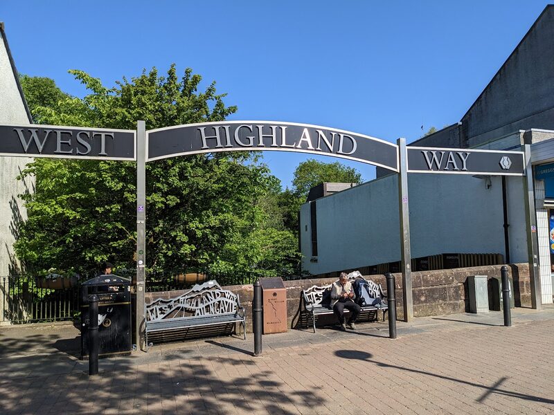
Milngavie
The walk starts at a granite obelisk on Douglas Street, a short step from Milngavie station, which has regular trains from Glasgow. Fill your water bottles in the town, and buy lunch here if you want it in your bag: the first place to eat on the path is the Beech Tree Inn at Dumgoyne, seven and a half miles on. From the obelisk the Way is waymarked, so there is little to do now but follow the signs out through the woods.
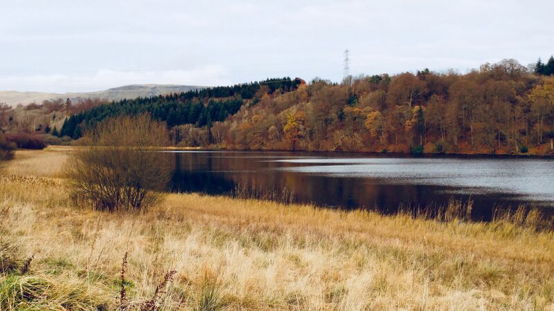
Craigallian Loch
About three miles out through the woods of Mugdock Country Park comes Craigallian Loch, the first of the day's small lochs. On its west side the path passes a memorial stone to the Craigallian Fire, a campfire that burned here through the 1930s, where young people without work came out from Glasgow and Clydebank on their way to the hills. Carbeth Loch follows, and then the trees open and you see the Campsie Fells for the first time.
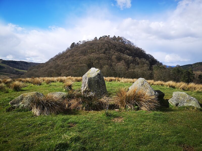
Dumgoyach
Dumgoyach is the small, thickly wooded hill the Way passes beneath as it drops into the Blane valley, with the steep nose of Dumgoyne and the Campsies behind it. There are standing stones in a field a little way east of the path. From here you follow the bed of the old Blane Valley Railway past Glengoyne Distillery to the Beech Tree Inn at Dumgoyne, right on the path, which feeds walkers from 10am, 11am on Sundays, and has a tap for bottles. Quiet lanes take over at Gartness.
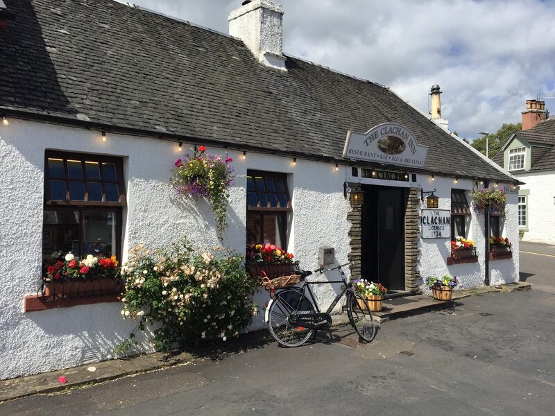
Drymen
The first night is in Drymen, a village with a shop, a cash machine and the Clachan Inn on the square, which calls itself Scotland's oldest licensed pub. Book a table there for dinner. The village has several places to stay, so book ahead. The Way skirts the village, a short walk off the path. You're now inside Loch Lomond and The Trossachs National Park. The 309 bus runs from here to Balloch, for trains to Glasgow: check the day's times with McColls Travel.
If it rains
This is the most sheltered day of the week, on tracks, an old railway line and lanes, and it goes in any weather. If you need to stop, the first bus is at Drymen: the 309 runs to Balloch, which has trains to Glasgow, so check the day's times.
Day two
Rowardennan
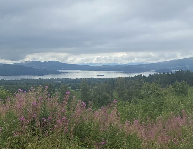
Today the Highlands begin. The Way climbs over the shoulder of Conic Hill, where Loch Lomond and its islands are suddenly spread out below you, drops to the lochside village of Balmaha, and then follows the wooded shore north. It's 15 miles, six or seven hours' walking, to Rowardennan, at the foot of Ben Lomond.
Garadhban Forest
Out of Drymen, a broad forest track leads through Garadhban Forest towards Conic Hill. There is no tap and no shop before Balmaha, so fill your bottles in Drymen, and don't drink from the burns, or streams, on the way to the hill: they run off grazing land. With a dog, follow the signs round the two fields before the hill, which are closed to dogs at lambing time in April and May. The signed way round adds no distance.
St Mocha, Balmaha
A café
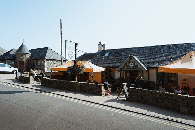
St Mocha is the reward for Conic Hill: a coffee shop beside the Oak Tree Inn in Balmaha that roasts its own coffee, makes its own ice cream and opens every day from 8am to 5pm. To reach it the Way crosses the shoulder of the hill, where the chain of islands below you marks the Highland Boundary Fault, then drops steeply to the village. The 309 bus runs from here to Drymen and Balloch: check the day's times.
Milarrochy Bay
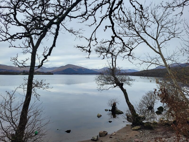
A mile or so past Balmaha, Milarrochy Bay is a quiet curve of shore with toilets and a long view down the loch. From here the Way keeps close to the water through old oak woods, up and down over little headlands, past Cashel and Sallochy. If you're carrying a tent, the National Park's byelaws, its own local rules, allow camping along this shore from 1 March to 30 September only at a campsite or with a permit booked from the Park, and they cover lighting fires too.
Rowardennan
An attraction
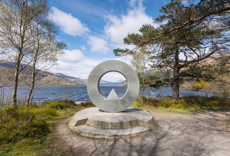
Rowardennan is where the public road ends, under Ben Lomond, and it's tonight's stop: a hotel with a bar and a small shop, and a youth hostel a little further along the shore. That is nearly all there is, which is why these beds go first. No bus comes here: the nearest is at Balmaha, seven miles back along the shore. In summer a waterbus crosses to Tarbet from the hostel jetty, on some days of the week only: check the times with Cruise Loch Lomond.
If it rains
Cloud takes the view from Conic Hill, but the path over its shoulder is good. In a gale, or when the hill path is shut, take the low-level way instead: the road by Milton of Buchanan and the pavement beside the B837 into Balmaha. From Balmaha on, the path is sheltered in the lochside woods. Balmaha is the last place with a bus, the 309 back to Drymen and Balloch: check the day's times. Nothing runs from Rowardennan but the summer waterbus, on some days of the week only: check the times with Cruise Loch Lomond.
Day three
Inverarnan
A whole day on the east shore of Loch Lomond, with no road along the water. Forest track leads to the waterfall at Inversnaid, and beyond it the path turns rough and slow under the crags before the loch narrows to its head. It's 14 miles to Inverarnan, six or seven hours' walking and often more, and it will feel further.
Rowchoish
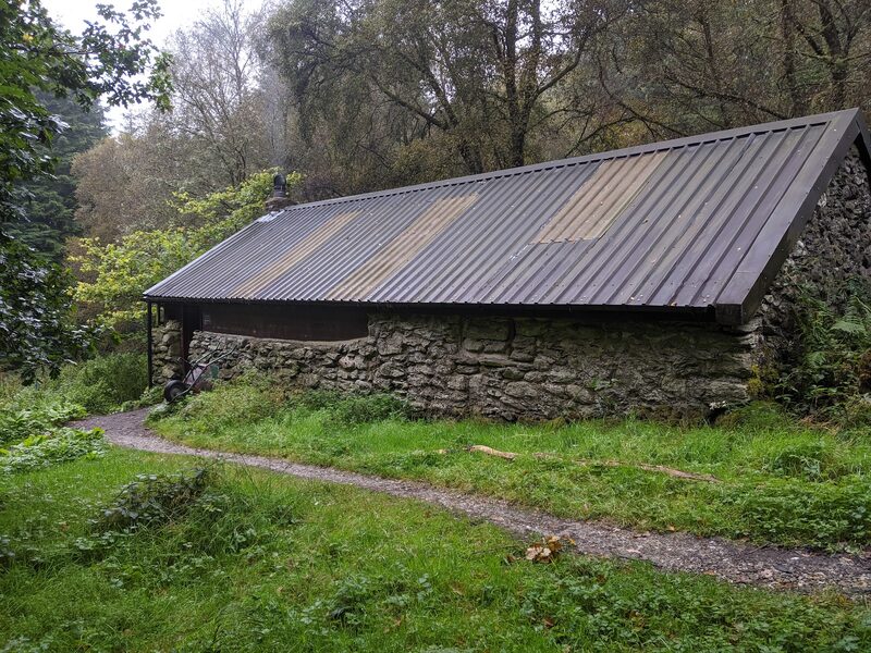
About four miles on is Rowchoish, a bothy: an unlocked shelter, free to use and never booked. It was once the byre, or cowshed, of a cottage lived in until the 1930s; in 1759 nine families had their homes round here. The Way reaches it by forest track or lower shore path. Carry all your food and water today, as nothing is sure before Inverarnan. Midges can bite from May and are usually worst from June to August; ticks are about March to October, so check your skin each evening.
Inversnaid Waterfall
An attraction
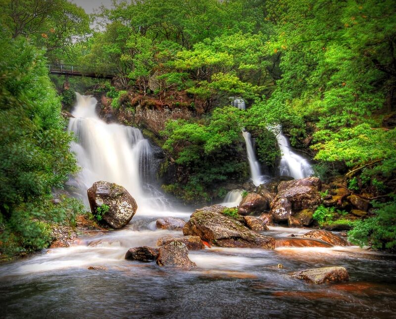
At Inversnaid a burn drops into the loch in a fine waterfall, and the Way crosses it on a footbridge above the fall. The poet Gerard Manley Hopkins named a poem after the place. A hotel stands by the pier, though don't count on it for lunch. This is the day's one way out. In season a waterbus makes the half-hour crossing to Tarbet, across the loch: check the times with Cruise Loch Lomond. A road also climbs from the pier to Aberfoyle, 15 miles away, but no bus runs on it.
Doune Byre
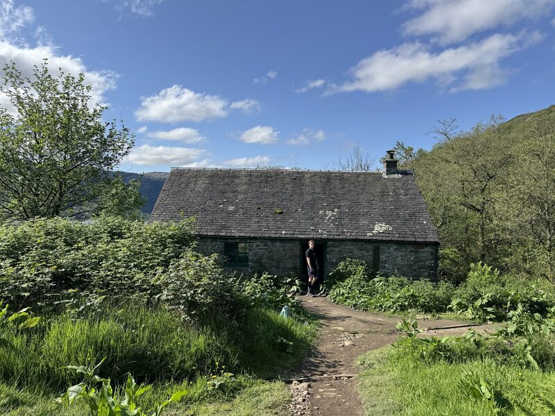
Doune Byre is another open bothy, about three miles short of Inverarnan, with rough ground still ahead. The stretch north of Inversnaid is the roughest of the Way: rock, roots and boulders, up and down all the way, and far slower than its miles suggest. A mile past the falls is Rob Roy's Cave, said to have been a hideout of Rob Roy MacGregor. After heavy rain some burns on this shore can't be crossed until the water drops, so read the notices at westhighlandway.org before you set out.
Inverarnan
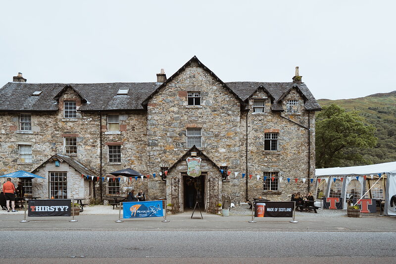
Inverarnan is two places to stay and little else. The Drovers Inn has stood on the main road since 1705 and serves food every day from noon to 9.30pm, with live music at weekends. Beinglas, the campsite the Way runs through, has rooms, huts, a shop and a bar of its own. The inn is across the River Falloch from Beinglas. Citylink, the coach company on the Glasgow to Fort William road, stops at the inn: check its times before you rely on it.
If it rains
After heavy rain, think hard before leaving Rowardennan. The Way's own site says some burns on this stretch can't be crossed during a flood or just after it, and the rough ground north of Inversnaid is slower and more slippery in the wet. Wait until the water has dropped. Inversnaid is the one way off, so make up your mind there. The waterbus to Tarbet runs in season (check the times), and a road climbs to Aberfoyle, 15 miles away, with no bus on it. No road runs along this shore north of Inversnaid.
Where to eat
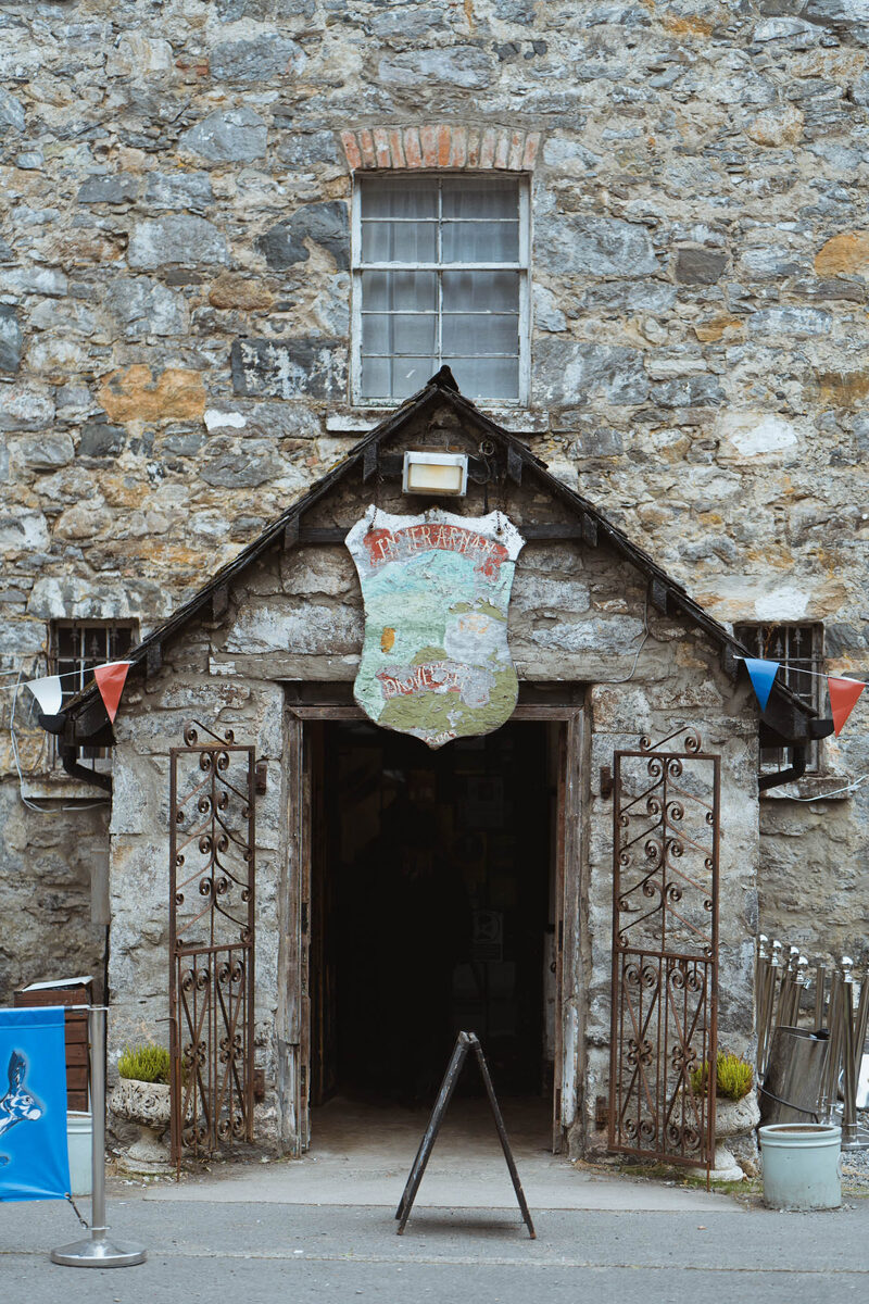
The Drovers Inn, a restaurant in Inverarnan.
Day four
Tyndrum
A kinder day, leaving Loch Lomond behind for the hills. The Way follows the River Falloch up its glen on an old military road, passes above Crianlarich, the halfway point of the whole walk, and crosses the wide floor of Strath Fillan. It's 12 miles, five or six hours' walking, to Tyndrum.
Falls of Falloch
An attraction
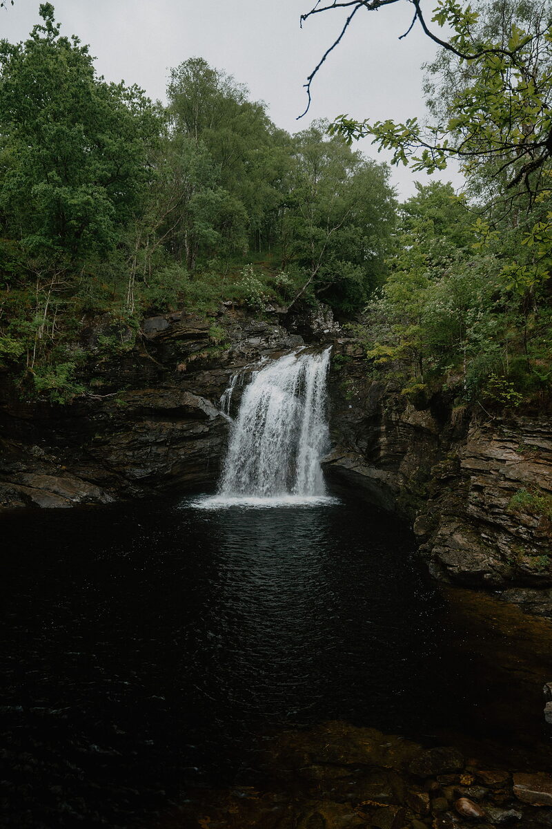
The Falls of Falloch are the best of a morning beside the river, a 30-foot drop into a dark pool known as Rob Roy's Bathtub. The Way keeps to the bank across the river from the road, so you catch the falls and the cascades above them through the trees as you pass. The path here is well made and climbs gently, a relief after yesterday, with the river loud beside you for the first few miles.
Crianlarich
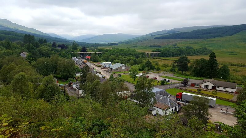
The halfway point of the Way is Crianlarich. The path stays up on the hillside above the village, and at a signposted junction a spur path drops to it in about a mile. It's worth the detour if you need anything, for its shop with a cash machine, its toilets and its station, where the trains for Oban and Fort William part. The Citylink coach stops here too, which makes it the easiest place on the whole walk to break off or to join: check the times.
St Fillan's Priory
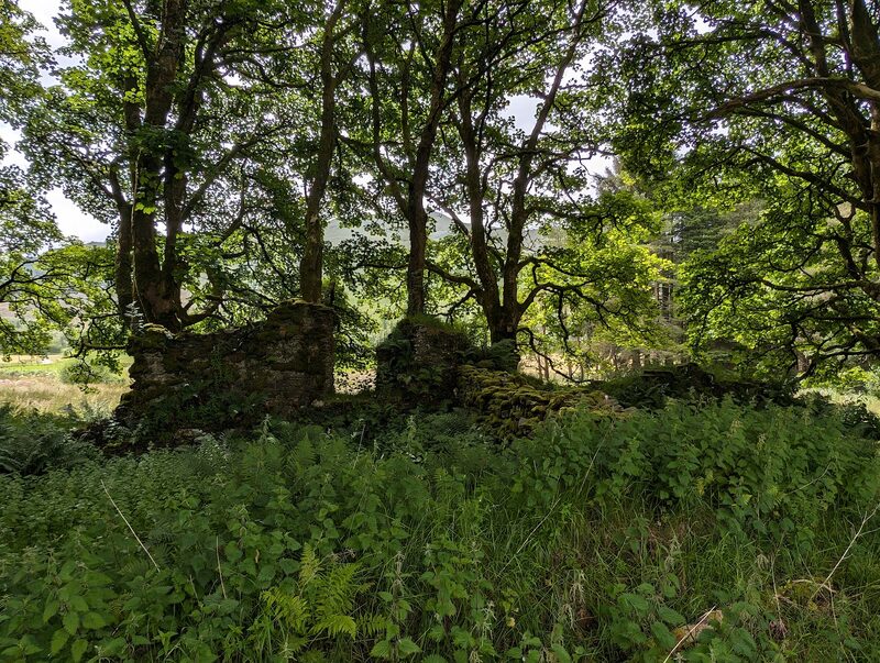
Down on the floor of Strath Fillan, at Kirkton Farm, a few old walls and a graveyard are all that is left of St Fillan's Priory. It seems to have been founded in 1318 by Robert the Bruce, in honour of a saint the kings of his day held dear. The Way comes down off the hill and crosses the valley floor right past it. From here on the walking is level and easy, with big hills on every side.
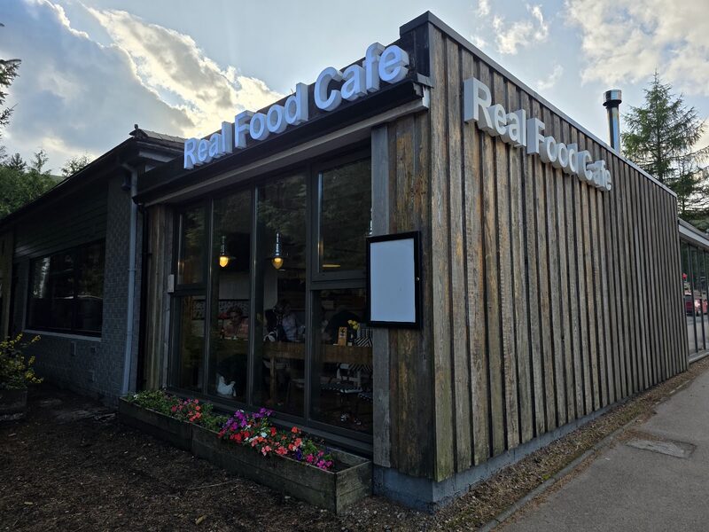
The Real Food Cafe
The Real Food Cafe, on the main road through Tyndrum, is where many walkers end the day: fish and chips and home baking, daily from 8am to 8pm. The village has several places to stay, so book ahead. Tyndrum is the last sure place to shop before Kinlochleven, 28 miles on, so buy two days' lunches at whichever of its shops is open; the Green Welly Stop, beside the path as it leaves the village, sells sandwiches and groceries. Trains and the Citylink coach stop here too: check the times.
If it rains
A good day for poor weather: the path is well made, never far from the A82, and Crianlarich is halfway, with a station, the Citylink coach and somewhere to sit out a downpour. If you've had enough there, take the coach or the train on to Tyndrum, and check the times first.
Day five
Rannoch Moor
The longest day of the week, and the grandest. The Way runs up the glen under Beinn Dorain to Bridge of Orchy, climbs for a view over Loch Tulla, and then strikes out across the edge of Rannoch Moor with the Black Mount beside it. It's 19 miles, eight to ten hours' walking without long stops, to Kingshouse, at the head of Glencoe.
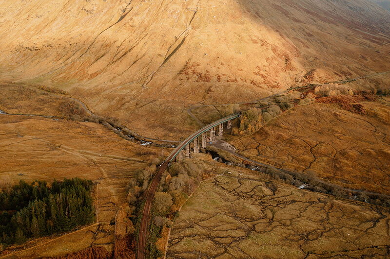
Allt Kinglass Viaduct
An attraction
The Allt Kinglass Viaduct carries the West Highland Line round a great horseshoe bend at the mouth of a side glen, and you see it across the valley as the Way comes down to the farm at Auch. Above it stands Beinn Dorain, a steep cone of 1,076 metres that has been ahead of you since Tyndrum. The walking is easy all morning, along the floor of the glen beside the railway.
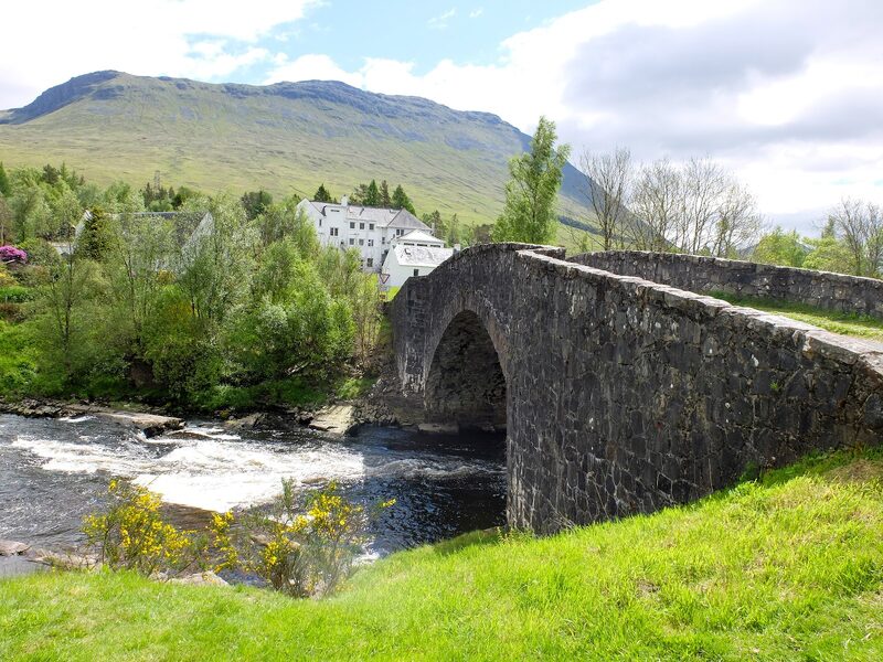
Bridge of Orchy
Seven miles from Tyndrum, Bridge of Orchy is a station, a hotel and a few houses, and the last sure way off before the moor. Trains on the West Highland Line and the Citylink coach both stop here, so check their times before you leave Tyndrum. The Way passes the station and the hotel, then crosses the River Orchy by the old bridge. If the weather is turning or your legs are done, this is the place to stop.
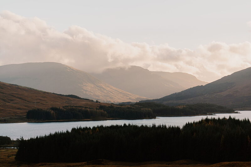
Loch Tulla
An attraction
Loch Tulla opens out from the top of Mam Carraigh, a short climb on the old military road out of Bridge of Orchy, with the Black Mount beyond it. The path then drops to the Inveroran Hotel, which has kept a small shop for passing walkers; carry your lunch from Tyndrum all the same, and don't expect a phone signal. A night at Inveroran splits these 19 miles into nine and ten and makes the walk eight days. The hotel has nine rooms, so book it with the rest.
Bà Bridge
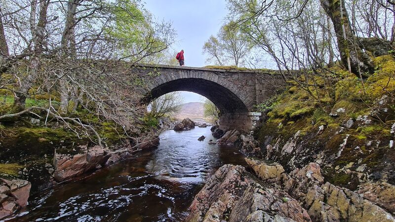
Bà Bridge is about halfway between Inveroran and Kingshouse, on the western edge of Rannoch Moor, with nothing but water, heather and mountains in every direction. The old road you're walking on is a good firm track, but between Inveroran and the ski centre at the far side there is almost no shelter, and in wind and rain it's a hard place to be. Carry waterproofs, food and water for the whole crossing. The ruin of Bà Cottage, a little further on, gives some cover for lunch.
Kingshouse
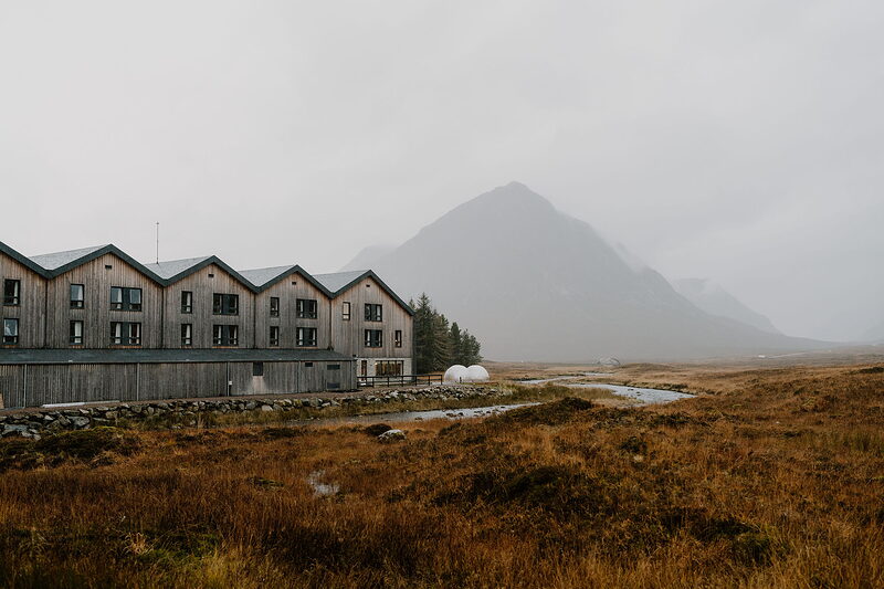
Kingshouse stands alone at the head of Glencoe, facing Buachaille Etive Mòr: a hotel and a bunkhouse, the only roof for miles. It began as an 18th-century coaching inn, named for soldiers barracked here after the 1745 rising. The Climbers Bar serves coffee from 10am, then lunch and dinner, daily. Before the hotel, the Way meets the road to the Glencoe Mountain café, ten minutes off the path. It follows that road down and crosses the main road about a mile short of the hotel, where the Citylink coach stops: check the times.
If it rains
Decide at Bridge of Orchy. Up to there the Way is low and never far from the road and the railway. Beyond Inveroran, Rannoch Moor is wide open, with almost no shelter until the ski centre at Glencoe Mountain, and in heavy rain or a gale it is hard going. On a bad forecast, take the Citylink coach from Bridge of Orchy to the Glencoe Mountain road end, which leaves about a mile to walk to Kingshouse. Or stop the night at Bridge of Orchy or Inveroran and cross the moor tomorrow. Check the coach times the day before.
Day six
Kinlochleven
The shortest day, with the week's big climb in the middle of it. From Kingshouse the Way heads for the great pyramid of Buachaille Etive Mòr, turns up the Devil's Staircase to the highest point of the whole walk, and then makes a long descent to the sea at Kinlochleven. It's 9 miles, four or five hours' walking.
Altnafeadh
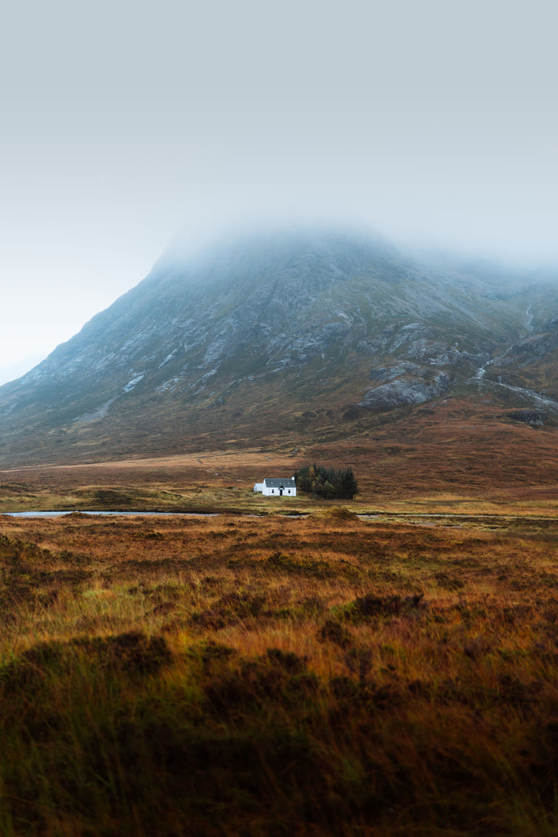
Altnafeadh is a couple of buildings beside the A82, three miles from Kingshouse, at the foot of Buachaille Etive Mòr, 1,021 metres of rock. The Way gets here on the old military road, never far from the main road. Have all your food and water with you when you leave Kingshouse, because there is nothing to buy and nowhere to shelter until Kinlochleven. This is the last road before the village, and no coach stops here.
The Devil’s Staircase
An attraction
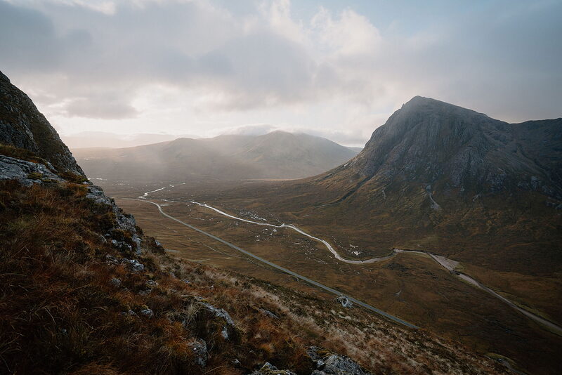
The Devil's Staircase sounds worse than it is. It's a zigzag path from the road up to a cairn at 550 metres, some 300 metres above Kingshouse and the highest point of the West Highland Way, and it's good underfoot all the way. Take it steadily and look back at the Buachaille as you go; ahead are the Mamores. The risk is the weather, not the path: the top and the moor beyond are wide open, so in cloud, a gale or snow, wait at Kingshouse for a better day.
Kinlochleven
An attraction
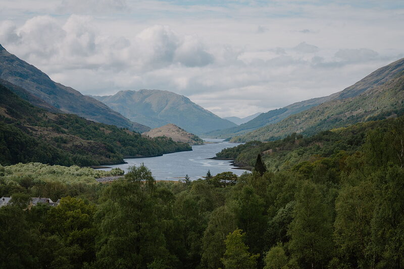
A long descent that tests the knees brings you down to Kinlochleven, at the head of Loch Leven. The Blackwater Reservoir above it was dammed by navvies with hand tools between 1905 and 1909 to power an aluminium smelter, and this is said to have been the first village in the world with electricity in every house. It has several places to stay, all worth booking ahead, places to eat and a Co-op, the first full shop since Tyndrum: buy tomorrow's lunch there. Shiel Buses run to Fort William; check the times.
If it rains
The Devil's Staircase and the moor beyond it are high and open. The A82 at Altnafeadh is the last road before Kinlochleven, and no coach stops there, so the only ways off are back to Kingshouse or on to the village. In ordinary rain it's a wet walk on a good path. In low cloud with a gale, or in snow, wait at Kingshouse: the day is only nine miles, so a late start when the weather clears still gets you down in daylight.
Day seven
Fort William
The last day climbs steeply out of Kinlochleven and then settles into the Lairig Mòr, a long empty pass between big hills. Forest tracks carry you round into Glen Nevis, with Ben Nevis filling the view, and down to the finish in the middle of Fort William. It's 15 miles, six or seven hours' walking.
The Lairig Mòr
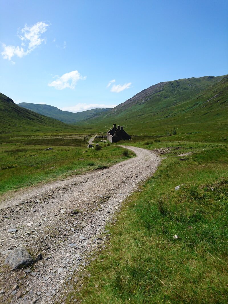
The Lairig Mòr, the great pass, is an old military road running west between steep hillsides, with hardly a tree. Getting up to it is the hard part: the path climbs steeply out of Kinlochleven, with views back down Loch Leven. Once you're up, the walking is easy but stony. Where the pass swings north at Lundavra, a quiet road comes up from Fort William, the only one before Glen Nevis, with no bus on it. There's nothing to eat or drink before Fort William, so carry it from Kinlochleven.
Dun Deardail
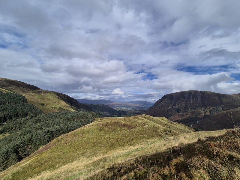
Beyond Lundavra the path rolls up and down through forestry, and before long Ben Nevis, Britain's highest mountain, rises ahead. Dun Deardail is an Iron Age hill fort above Glen Nevis, a small detour from the Way and a fine place to look across at the mountain. Then choose how to finish. The High Route stays above the glen, rounds Cow Hill and comes down by the leisure centre; the older way, which the day's 15 miles follow, drops to the Glen Nevis road and its pavement into town.
Fort William
An attraction
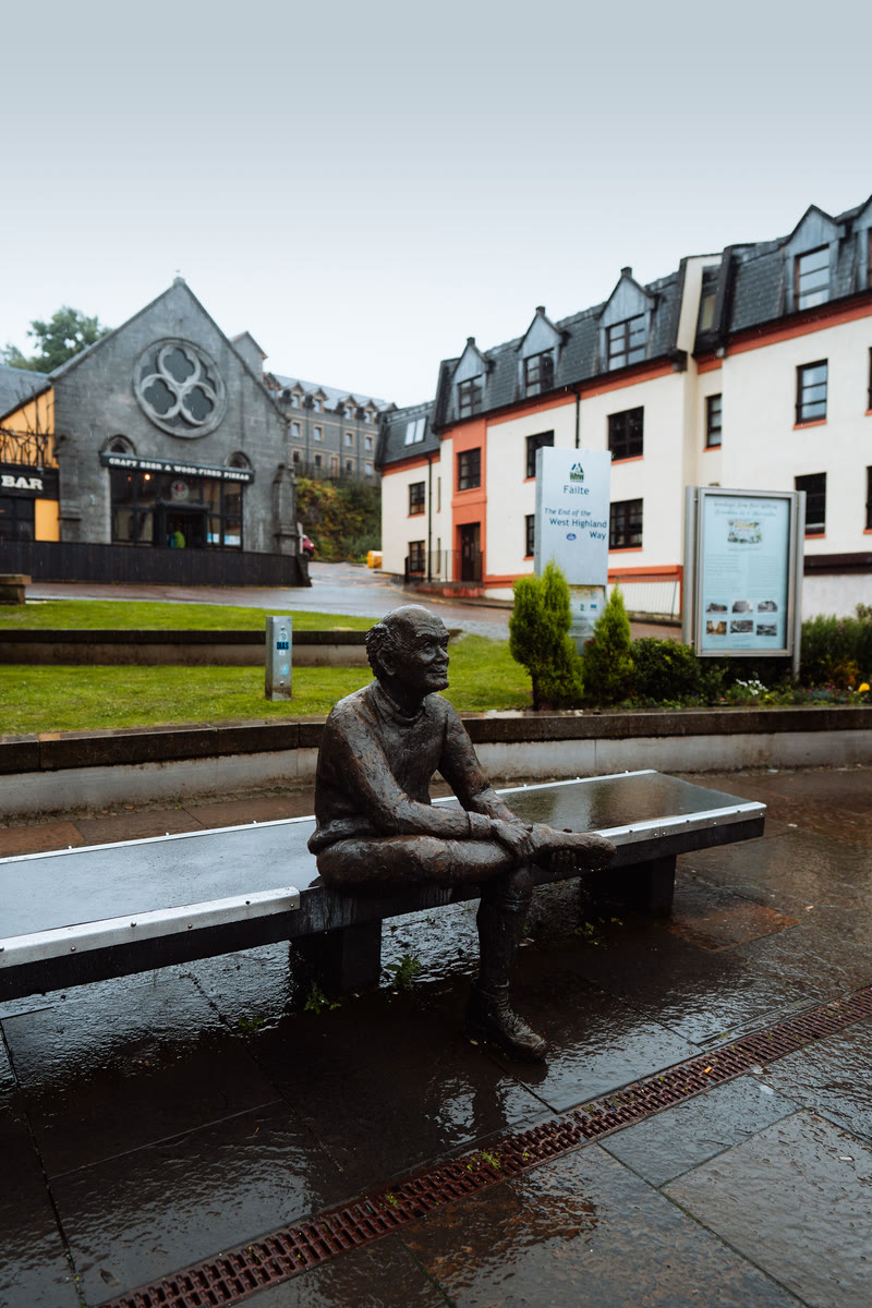
The Way ends in Gordon Square, at the far end of Fort William's High Street, where a bronze walker sits rubbing his sore feet and waits to have his picture taken with you. That's 96 miles done. The town has plenty of beds, shops and places to eat, and it's worth a seventh night: book ahead if you want one. Trains for Glasgow leave from the station at the other end of the High Street, and the Citylink coach from the bus station beside it; check the times first.
If it rains
The climb out of Kinlochleven and the Lairig Mòr are exposed, and nothing on this stage sells food or gives shelter before Fort William. If the weather is against you, Shiel Buses run from Kinlochleven to Fort William, so check the day's times: finishing by bus is better than a miserable last day. Once past Lundavra the forest gives cover, and the older finish along the Glen Nevis road is lower and more sheltered than the High Route.
Where to eat
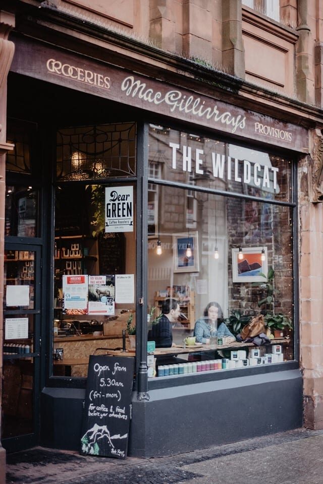
The Wildcat, a café in Fort William.
Photographs by Ben Hladki, Dabig Pickle, Anku Walker, Clachan Inn, D Newport, Patrick McCarthy, Kip Mercer, 布行全球BRight Travel Log, Gray M, Mark Auchincloss, Carlos, Derek Houghton, Alasdair Taylor, John Tochel and Limbers 230 via Google; VisitScotland / Kenny Lam and Alan Weir