
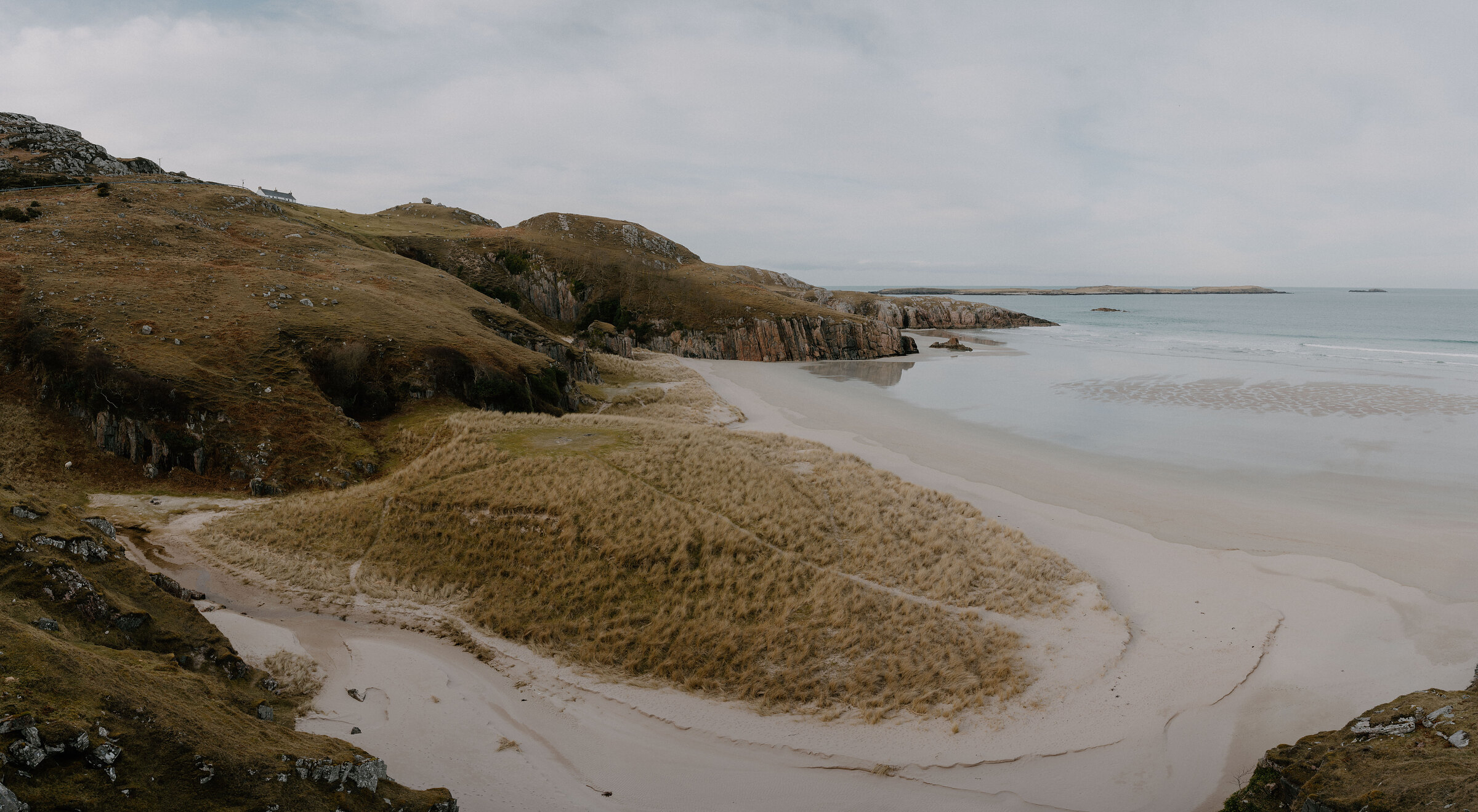
Ceannabeinne – A Short Walk Round a Cleared Township
half a mile · 2 hours · a loop
free parking · dogs on a lead
Above one of the loveliest beaches on the north coast lie the tumbled walls of Ceannabeinne, a township cleared in 1842 after its people stood against the order to leave.
A short waymarked trail loops round what is left, and a hot chocolate at Balnakeil afterwards rounds off the morning.
Where it starts
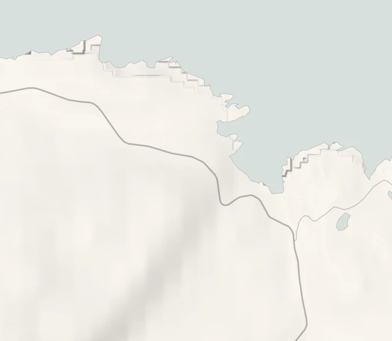
Start at the gravel car park above Ceannabeinne beach on the A838, about three miles east of Durness.
Is it for me?
Tap who is coming, or the day you have, for the answer on this walk.
Before you go
Getting there
Free.
On the path
About 45 minutes: a waymarked loop of about 1 km (0.6 miles) with 65 metres of climbing. A short walk with a few steep bits. Grass paths with a few short, steep bits and a burn, a small stream, to cross. A short walk. The boards tell of evictions and a riot, so it's worth a word with younger children first.
Good to know
All year, in daylight. From November to January, arrive by 2pm. Dogs on a lead: cattle and sheep graze the slope. Toilets none here: the nearest are in Durness, three miles west. Cattle and sheep graze the township. The white cottage is a private holiday house.
The walk
The Ceannabeinne Township Trail is a waymarked loop of about 1 km (0.6 miles) that starts and ends above Ceannabeinne beach, about three miles east of Durness. Allow 30 to 45 minutes. The going is rough grass with a few short, steep pulls: wear boots.
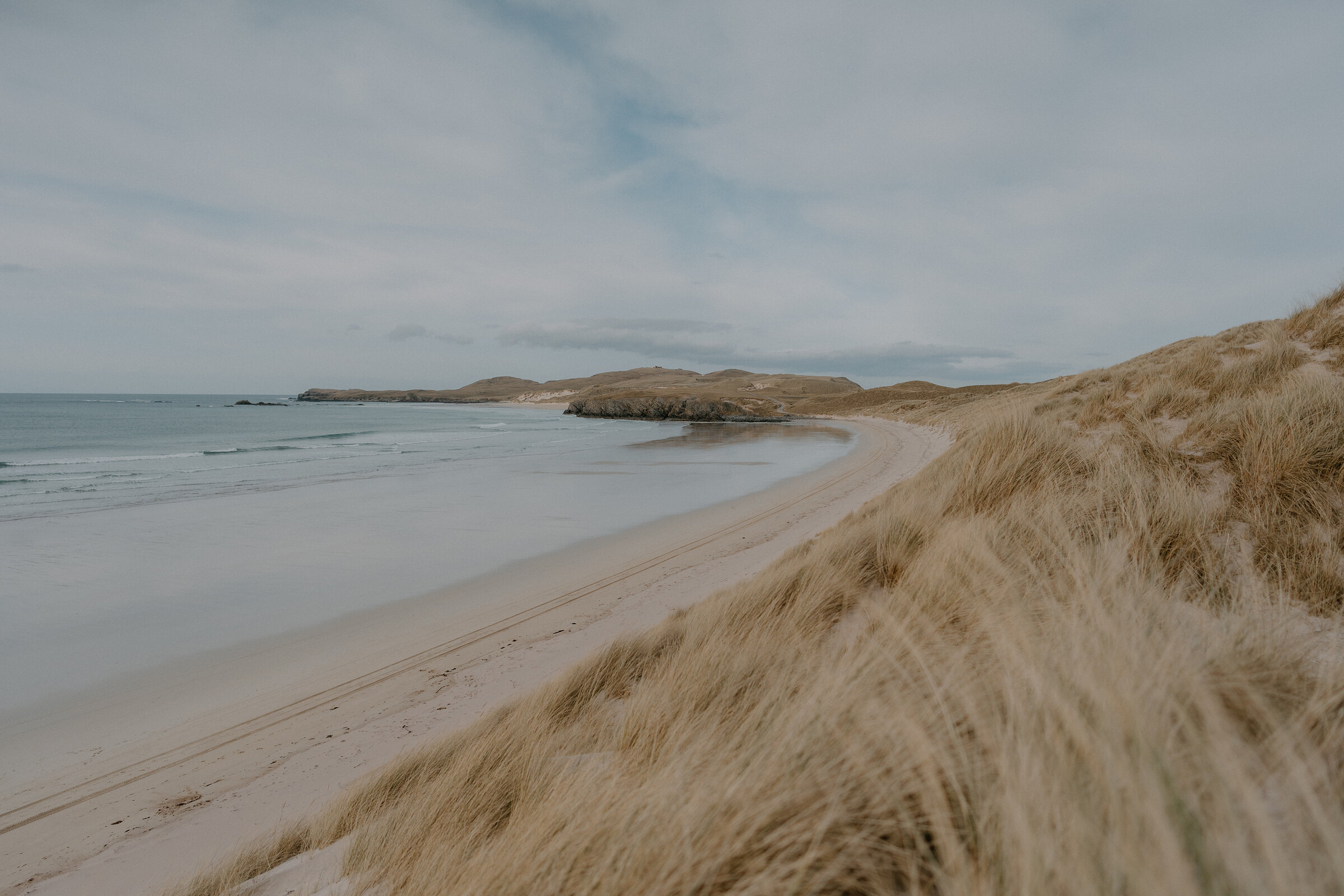
The pale sand below the start is Tràigh Allt Chàilgeag, named for the burn that runs out across it. On the way up stands the township's one remaining building, a stone cottage of 1827 that was once its school. It is a holiday home now, so see it from the path.
Ceannabeinne is Gaelic for the head, or end, of the mountains, and at the census of June 1841 ten families lived here. Some of the houses had chimneys and rooms divided off inside, probably changes made to blackhouses around 1800. Look for doorways in the gable ends, walls built on a curve, and the ridges of lazybeds, the hand-dug strips where crops grew, still running across the slope.
The boards along the trail tell what happened next. As Durness tells it, from local memory and the newspapers of the time, the people were told to leave in September 1841. The eviction paper came while the men were at Balnakeil cutting bent grass for thatch, and the women of the township made the man who carried it burn it. On Saturday 17 September a sheriff's party with special constables reached the inn at Durine. The men of Durness asked that no one be evicted on the Sabbath and were refused; that night they disarmed the constables and saw the officials out of the parish.
The riot reached the newspapers and an inquiry followed, but the tacksman who held the lease had broken no law, and the families left in May 1842. The outcry stopped further clearances on the Durness estate, so the people of Sangomore and Durine kept their land. The Durness history also holds that its publicity played a part in the Crofters Act of 1886, which gave crofters security on their land.
From the higher ground the view takes in the beach below and runs east towards Loch Eriboll.
There are no toilets at the trail: the nearest are in Durness. The hot chocolate comes after, at Cocoa Mountain.
If it rains
It's a short walk, so a shower won't spoil it, but the grass is slippery when wet and there's no shelter on the slope. Cocoa Mountain, until it shuts for the winter, is the place to dry off.
Afterwards
About 10 min by car
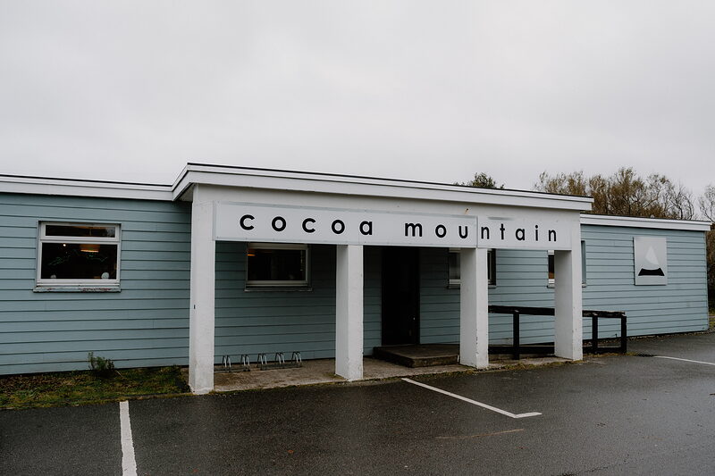
Cocoa Mountain Balnakeil
Hot chocolate
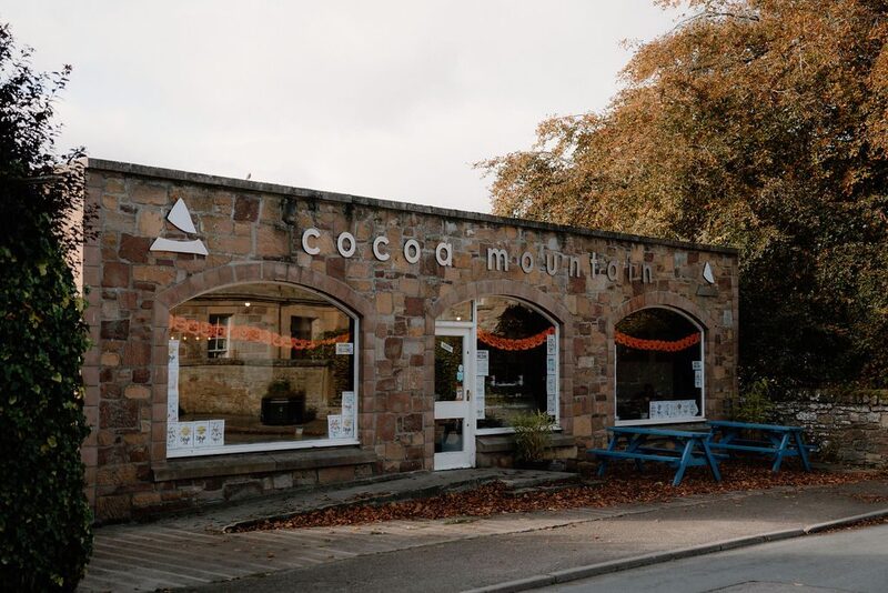
Cocoa Mountain is in Balnakeil Craft Village, on the far side of Durness: the pale blue building with the white portico, where chocolates and truffles are made by hand. Its hot chocolate is rich: have it with a croissant, a slice of cake or a piece of rocky road. It's open every day from 9am to 6pm until the end of November, then shuts for the winter; its own page gives the months it opens again. Sit inside, or outside on a fine day, where dogs are welcome. In the winter months, take a flask to the beach instead.
After the walk
Coffee and cake, and something to do with the rest of the day, nearest the end of the walk first.
With the rest of the day
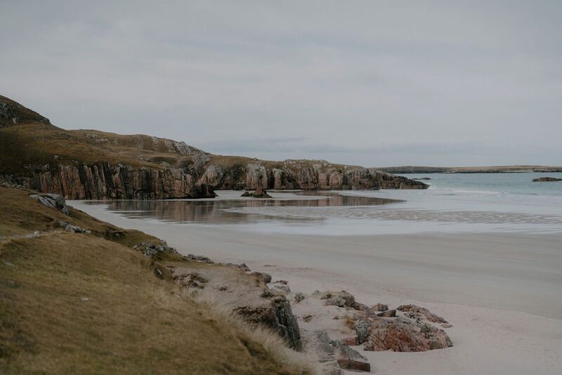 0 min by roadThings to doCeannabeinne BeachA cove of white sand between rocky headlands on the north coast east of Durness, below the old township of Ceannabeinne, the rocks streaked pink.
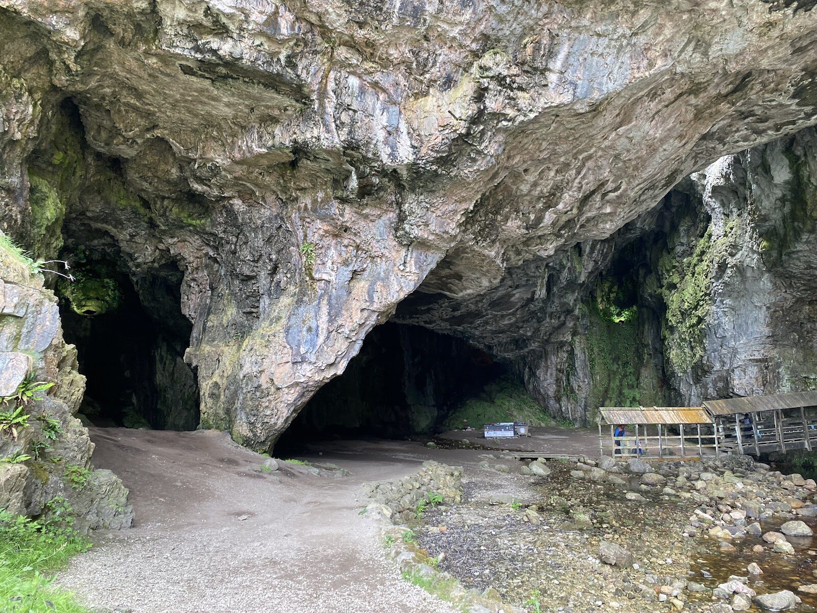
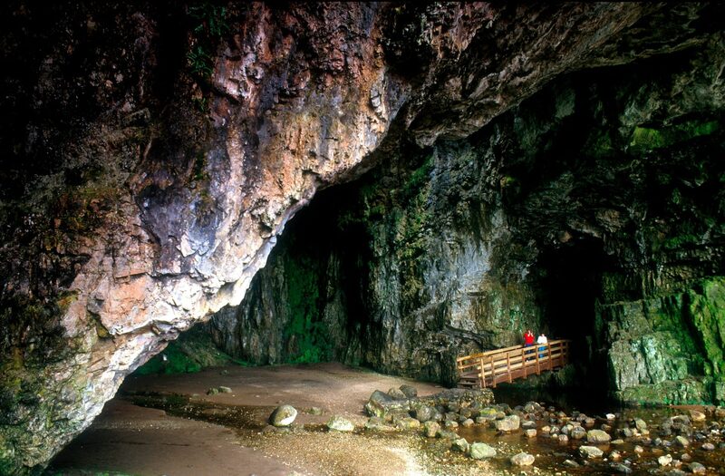 3 min by roadThings to doSmoo CaveSet into the limestone cliffs about a mile east of Durness you will find this spectacular sea cave.
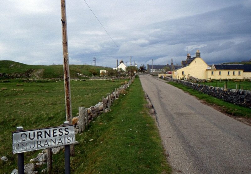 6 min by roadThings to doDurnessThe most north-westerly village on the mainland, above the sands of Sango Bay, with Smoo Cave on one side, Balnakeil on the other and places to stop and eat.
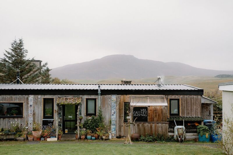 8 min by roadA shopBalnakeil Craft VillageA collection of old military buildings on the road to Balnakeil Bay, home for many years to artists and makers: galleries, ceramics, a chocolatier and more.
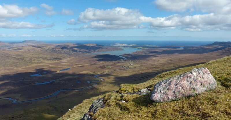 8 min by roadThings to doKyle of DurnessThe long sea loch south-west of Durness, sands and channels at low water, where a small passenger ferry crosses from Keoldale on the way to Cape Wrath.
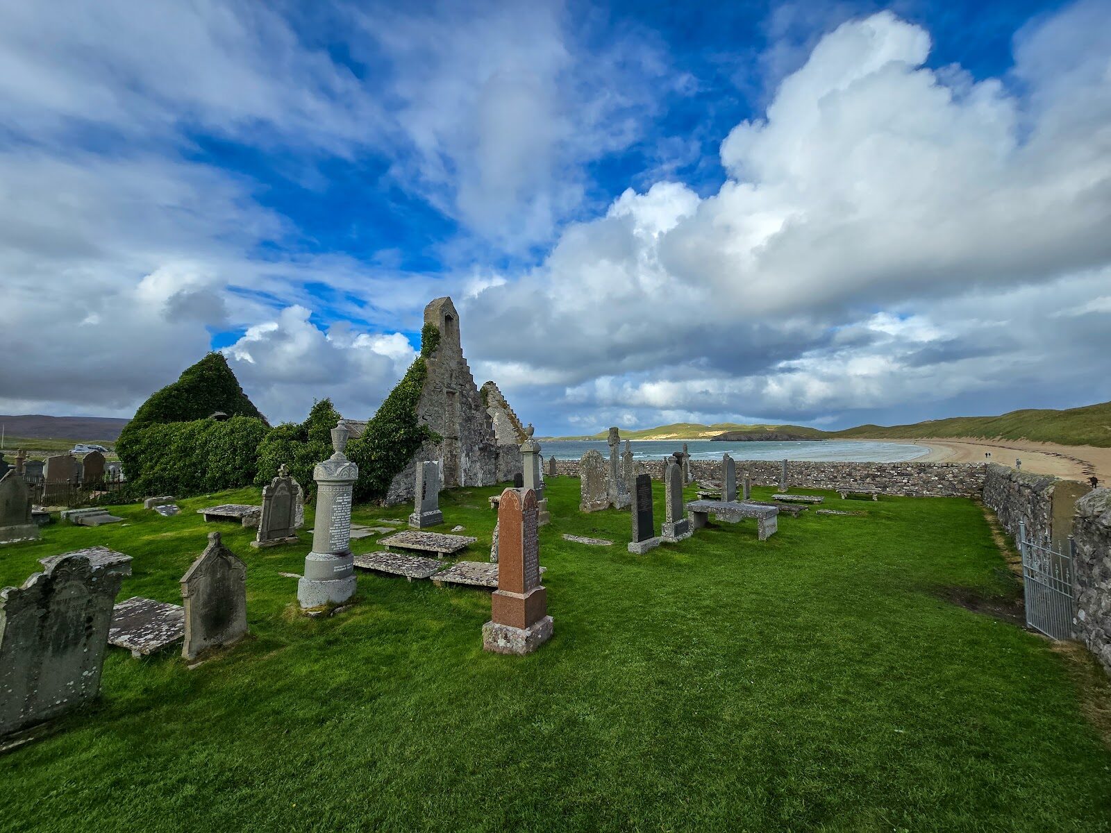
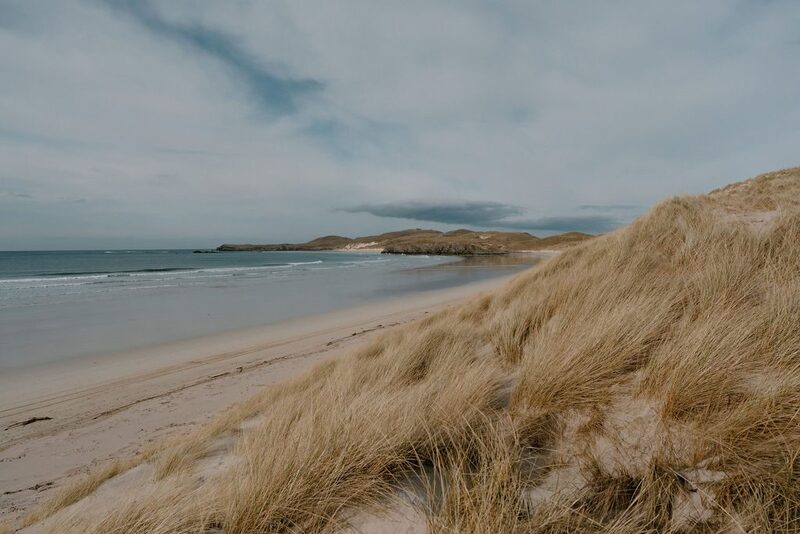 9 min by roadThings to doBalnakeil BeachA wide white beach backed by tall marram dunes, running from the old church at Balnakeil out towards Faraid Head, a mile from Durness.
Places to stay near the walk
Our places to stay nearest the start, by road.
An advert · Laid
Shore Cottage
A cottage for two on the shore of Loch Eriboll, six miles east of Durness, with a wall of glass to the loch, a wood burner and a bath outside under the night sky.
Sleeps 2 · 6 minutes by road
See Shore Cottage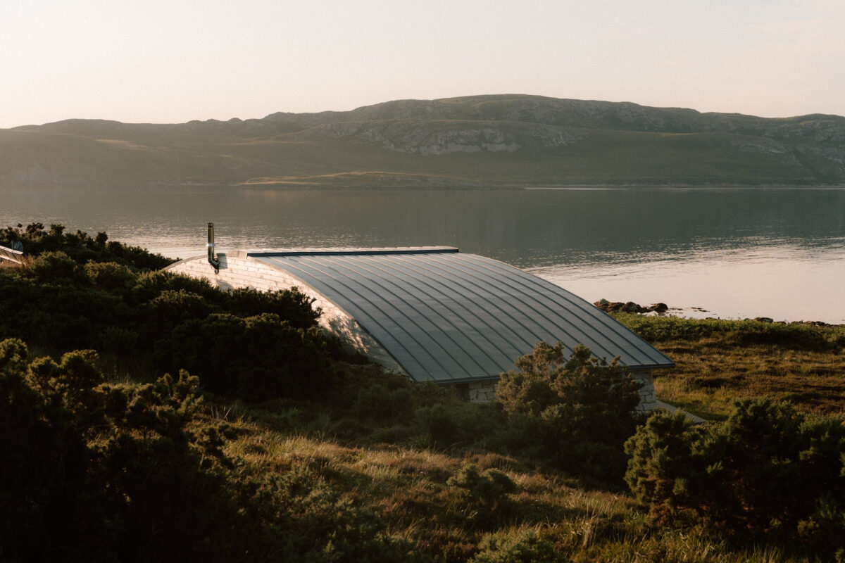
More places to stay near the walk

More walks near here
Within a short drive of the start.
Did this walk?
Tell the next person how it went. The best go on this page, with your name.
For further reading, before you go.
Photograph by Gail Dawn Wright via Google
Maps from OpenFreeMap © OpenMapTiles, data © OpenStreetMap contributors; heights from Mapzen's terrain tiles.