
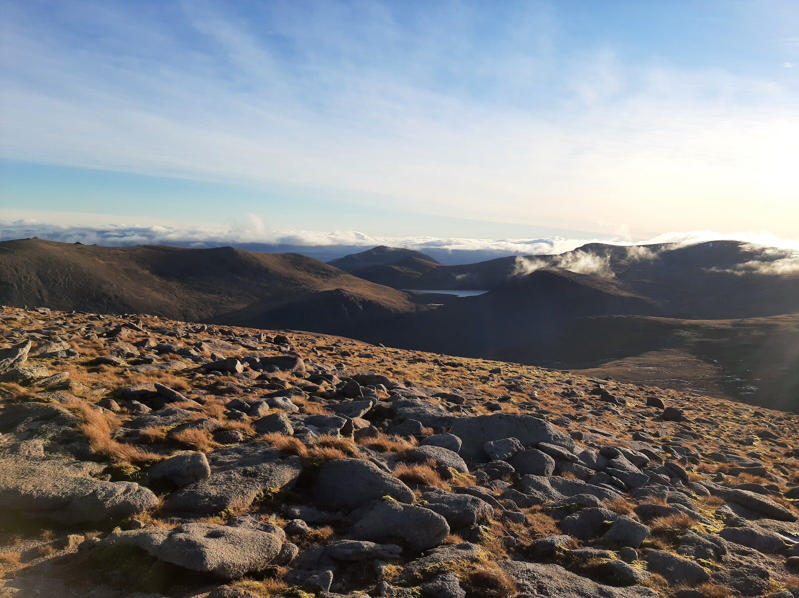
Cairn Gorm – Up the Windy Ridge Path to the Summit
4½ miles · 3 to 4 hours · a hill · there and back
paid parking · toilets
Cairn Gorm, 1,245 metres, is the sixth highest of the Munros, on the northern edge of the Cairngorm plateau.
The usual way up starts at the Coire Cas car park at Cairngorm Mountain. It climbs the Windy Ridge Path up Sròn an Aonaich to the Ptarmigan, the funicular's top station, then follows the Summit Path to the top. It comes back the same way. By our map it is about 7 km there and back with about 620 metres of climb, and it takes about 3 to 4 hours. The path is good, but the summit is high, bare ground where a gale or a white-out is the danger: a day for hillwalkers who can find their way with a map and compass.
Where it starts
Start at the Coire Cas car park at Cairngorm Mountain, at the top of the ski road from Aviemore past Loch Morlich.
Is it for me?
Tap who is coming, or the day you have, for the answer on this walk.
Before you go
Getting there
Parking there is free for 45 minutes in 2026, then £3.50 for up to 8 hours or £5.50 for up to 18, free with a Blue Badge, and free in the snowsports season. The Aviemore Adventurer 30 bus runs between Aviemore and the Base Station seven days a week. Call in at the Ranger Base at the car park before you set out, fill in Cairngorm Mountain's digital route card, and start early enough to be down in daylight. The funicular does not carry walkers up.
On the path
About 3 to 4 hours there and back: about 7 km (4¼ miles) and 620 metres of climb by our map, from the Coire Cas car park by the Windy Ridge Path and the Ptarmigan to the 1,245 metre summit and back the same way. A built path, steep and stepped at first, up Sròn an Aonaich to the Ptarmigan, then a roped path and a line of cairns over stony, bouldery ground to the summit. A short Munro on a good path, but the summit is high, bare ground where a gale or mist is the danger: for children used to hill days, with an adult who can navigate. The map to carry is OS Explorer OL57, Cairn Gorm & Aviemore (1:25,000); OS Landranger 36, Grantown & Aviemore (1:50,000) shows the country round it.
Good to know
All year in daylight, on a clear day with a good forecast and no gale. No source read sets a rule for dogs on this way; keep them close on the hill. Toilets at the Base Station by the car park; none on the hill. Under snow it is a winter mountain, and winter conditions often last well into spring: read the Northern Cairngorms avalanche forecast. In winter the waymarks inside the ski area are taken away.
The walk
The usual way up Cairn Gorm starts at the Coire Cas car park at Cairngorm Mountain and comes back the same way. By our map it is about 7 km (4¼ miles) there and back, with about 620 metres of climb. Allow about 3 to 4 hours, more with stops, in poor weather or under snow. The Windy Ridge Path, a built path, climbs Sròn an Aonaich on the east side of Coire Cas to the Ptarmigan, the funicular railway's top station. From there the Summit Path, roped at first and then marked by cairns, leads to the summit, 1,245 metres up. Local rangers, guides and guidebooks generally recommend the Windy Ridge Path, Wikipedia says. Other ways go up the ridge of Fiacaill a' Choire Chais or round the rims of the Northern Corries: this walk keeps to the most used.
The ski road runs from Aviemore past Loch Morlich to the Coire Cas car park, 635 metres up, beside the funicular's Base Station. In 2026 Cairngorm Mountain charges nothing for the first 45 minutes, then £3.50 for up to 8 hours or £5.50 for up to 18, and parking is free with a Blue Badge. There is no charge in the snowsports season. The Aviemore Adventurer 30 bus runs between Aviemore and the Base Station seven days a week, and there are toilets at the Base Station.
The funicular railway does not carry walkers up to walk on the hill. Outside the snowsports season its passengers may not leave the Ptarmigan building to go out on the mountain, Cairngorm Mountain says. In the season they may go outside, but must stay inside the ski area. So the summit is a walk from the car park. If you have walked up, you can buy a ticket down from the top station: £11.50 for an adult in 2026, with the last train down at 4.30pm, weather permitting. Do not plan on it as the way down: in a high wind or a white-out the way down is on foot.
Before you set off, call in at the Ranger Base at the car park, as walkers are advised to. Fill in Cairngorm Mountain's digital route card too, so that it can keep track of cars left in its car parks and help the emergency services if need be. Check the mountain forecast the evening before, and the Met Office's forecast for the summit. Conditions on the hills are often much colder and windier than down in the glen, Forestry and Land Scotland warns. Wear good walking boots and carry warm, waterproof clothing, plenty of food and drink, and a torch. Carry a map and compass and know how to use them, and do not rely only on a phone or GPS. Leave word with someone of where you are going and when you will be back.
From the car park, walk up the track between the Day Lodge and the Base Station. Just after it passes under the funicular, the Windy Ridge Path leaves it on the left. The path is steep to begin with, twisting up beside the ski runs, then turns east and eases. Higher up it crosses a ski run and swings south up the broad ridge of Sròn an Aonaich, with Loch Morlich opening out below. By our map it climbs about 440 metres in about 2.3 km to the Ptarmigan, at 1,097 metres. Out on the hill there are no waymarks or signposts, Forestry and Land Scotland warns. In winter Cairngorm Mountain takes away the waymarks for the walking trails inside the ski area.
Behind the Ptarmigan building a built path, with a line of posts on either side linked by rope in summer, starts the last climb. Beyond the last posts a line of cairns leads over stony, bouldery ground to the summit, by our map about 150 metres higher and 0.8 km on. The summit, 1,245 metres up, is a large built cairn, and the automatic weather station that Heriot-Watt University runs stands beside it. Cairn Gorm is the sixth highest of the 282 Munros, and the view runs across the Cairngorm plateau to Ben Macdui, about five kilometres to the south.
On Cairn Gorm the weather is the danger. Summit winds of over 170 miles an hour have been recorded: a gust of 173 miles an hour in March 1986 is the highest official wind speed on land in the UK. The way up is straightforward only in clear, calm weather, Wikipedia says: when the hill is stormbound any ascent or descent can be potentially lethal. The summit is barren and featureless, ringed in many directions by steep drops, and in a white-out you can lose your bearings there in moments. This is a serious walk even in summer. Walking Scotland says so of the round with Ben Macdui, because for most of the way you are on ground above 3,000 feet. By our map this way is above 3,000 feet (914 metres) for its last 2 km. By our map the nearest mapped cliffs lie about 500 metres west of the cairn, above the Northern Corries, Coire an t-Sneachda and Coire an Lochain. To the south the ground falls away towards Loch Avon. If the cloud comes down, the wind rises or anyone is tiring, turn back by the way you came: Forestry and Land Scotland asks walkers to turn back if they get tired.
Beyond the summit lies the Cairngorm plateau, high, open ground with few features to steer by in cloud. In a white-out the plateau becomes featureless, and when visibility is poor navigation can be tricky. Six people died in a blizzard on it in November 1971, at Feith Buidhe, the UK's worst mountaineering disaster. This walk does not cross it: it turns back at the summit. Before you leave the cairn, make sure you are on the line of cairns you came up by, heading north to the Ptarmigan. In mist take a bearing off the top, keep count of the time or your paces, and keep well back from any edge.
Under snow it is a winter mountain, and winter conditions often last well into spring. Then it needs crampons, an ice axe and the skill to use them, and good navigation. In winter, route choice and navigation need deliberate thought, Glenmore Lodge's Chief Instructor writes for the National Park Authority. In winter cornices can reach well out beyond the edge of the plateau, Steven Fallon warns. The hill lies in the core of the Scottish Avalanche Information Service's Northern Cairngorms area: read its forecast, which runs in full from 17 December 2026. Snow, ice and the snowsports operations affect many of the routes inside the ski area in winter, Cairngorm Mountain says, and the Ranger Base has word of any diversions.
The way down is the way you came: north from the cairn by the cairns and the roped path to the Ptarmigan, then down the Windy Ridge Path to the car park. If someone is hurt, call 999 or 112 and ask for Police and Mountain Rescue, Mountaineering Scotland says. Give a six-figure grid reference and a named feature if you can. To be able to text 999 where a call will not connect, register first by texting the word register to 999.
If it rains
None on this walk: in rain, low cloud or a high wind, leave the summit for another day. The top is bare and featureless, ringed by steep drops, and the wind on it can be far stronger than at the car park: if it comes down or gets up, turn back by the way you came.
After the walk
Something to do with the rest of the day, nearest the end of the walk first.
With the rest of the day
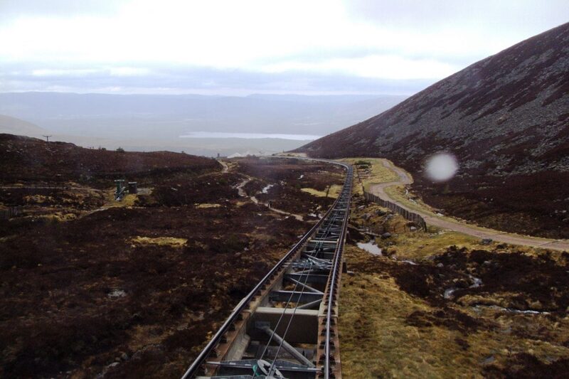 1 min by roadThings to doCairngorm MountainScotland's only mountain railway, climbing to the Ptarmigan Top Station at 1,097 metres, home of the UK's highest restaurant, above Glenmore.
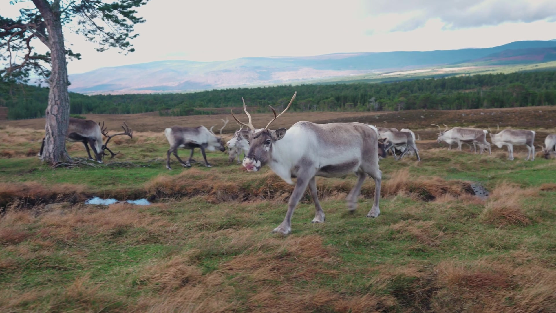 6 min by roadThings to doCairngorm Reindeer CentreBritain's only free-ranging reindeer, on the Cairngorm slopes above Glenmore, brought back in 1952, with guided Hill Trips most days.
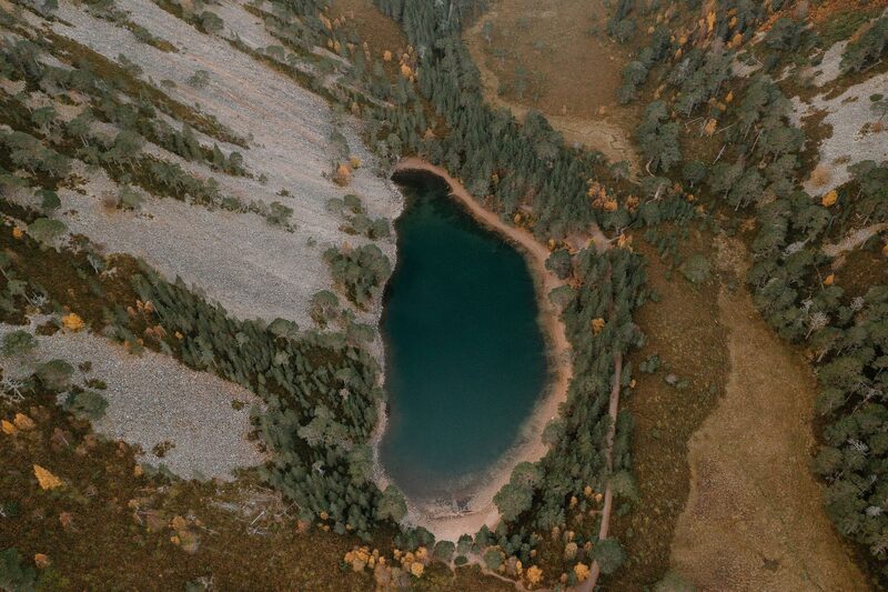 7 min by roadThings to doAn Lochan UaineThe green lochan of the Ryvoan Pass above Glenmore, reached by the Ryvoan Trail from the visitor centre and said to be the fairies' washing place.
Places to stay near the walk
Our places to stay nearest the start, by road.
An advert · Kincraig
Park Cottage
The Alvie Estate stalker's old cottage near Kincraig, for six and the dog, facing the Cairngorms with a wood-fired hot tub in the garden.
Sleeps 6 · 27 minutes by road
See Park Cottage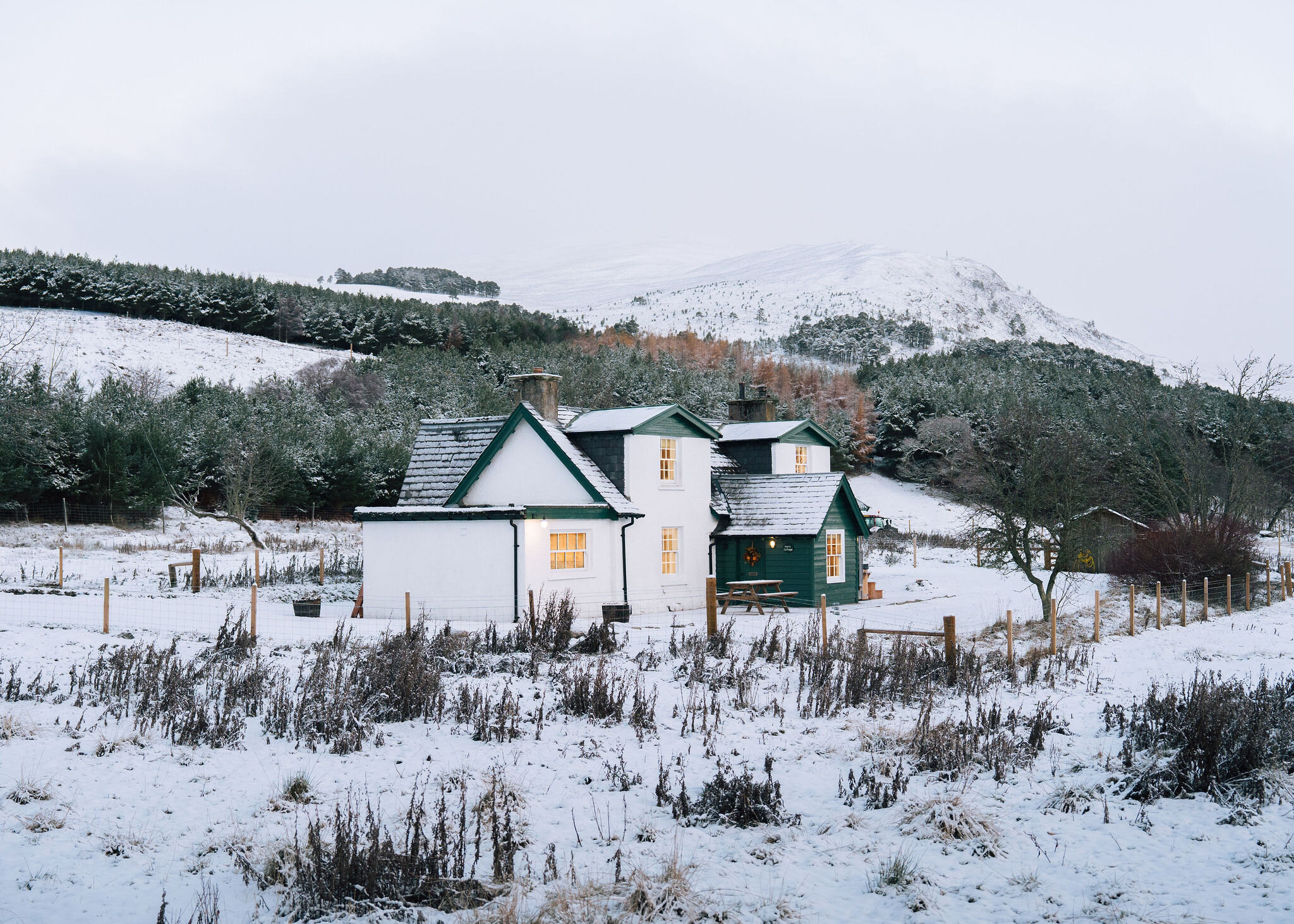
More walks near here
Within a short drive of the start.
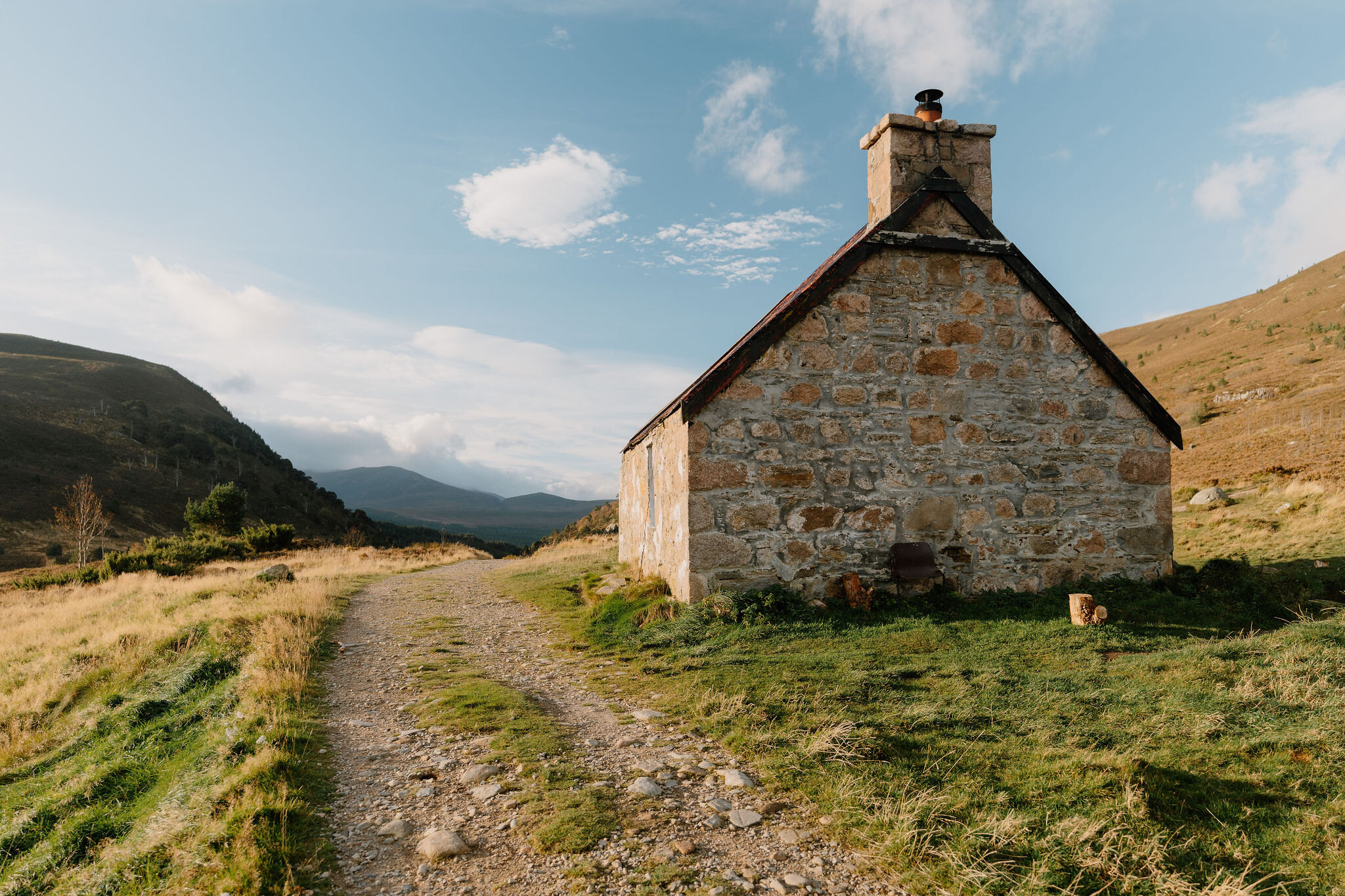 6 min by roadA long dayRyvoan Bothy5 miles, 2¼ to 3 hours
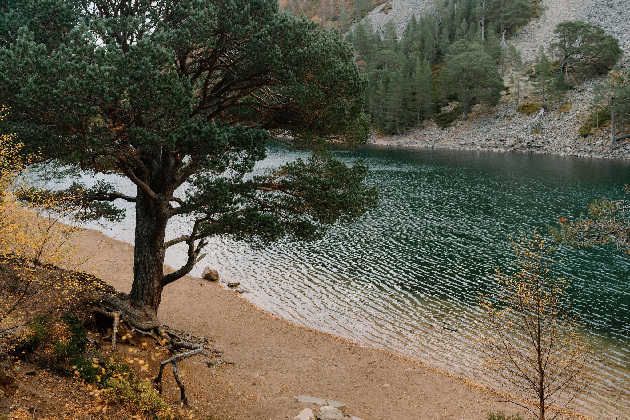 6 min by roadA walkThe Green Lochan3½ miles, about two and a half hours
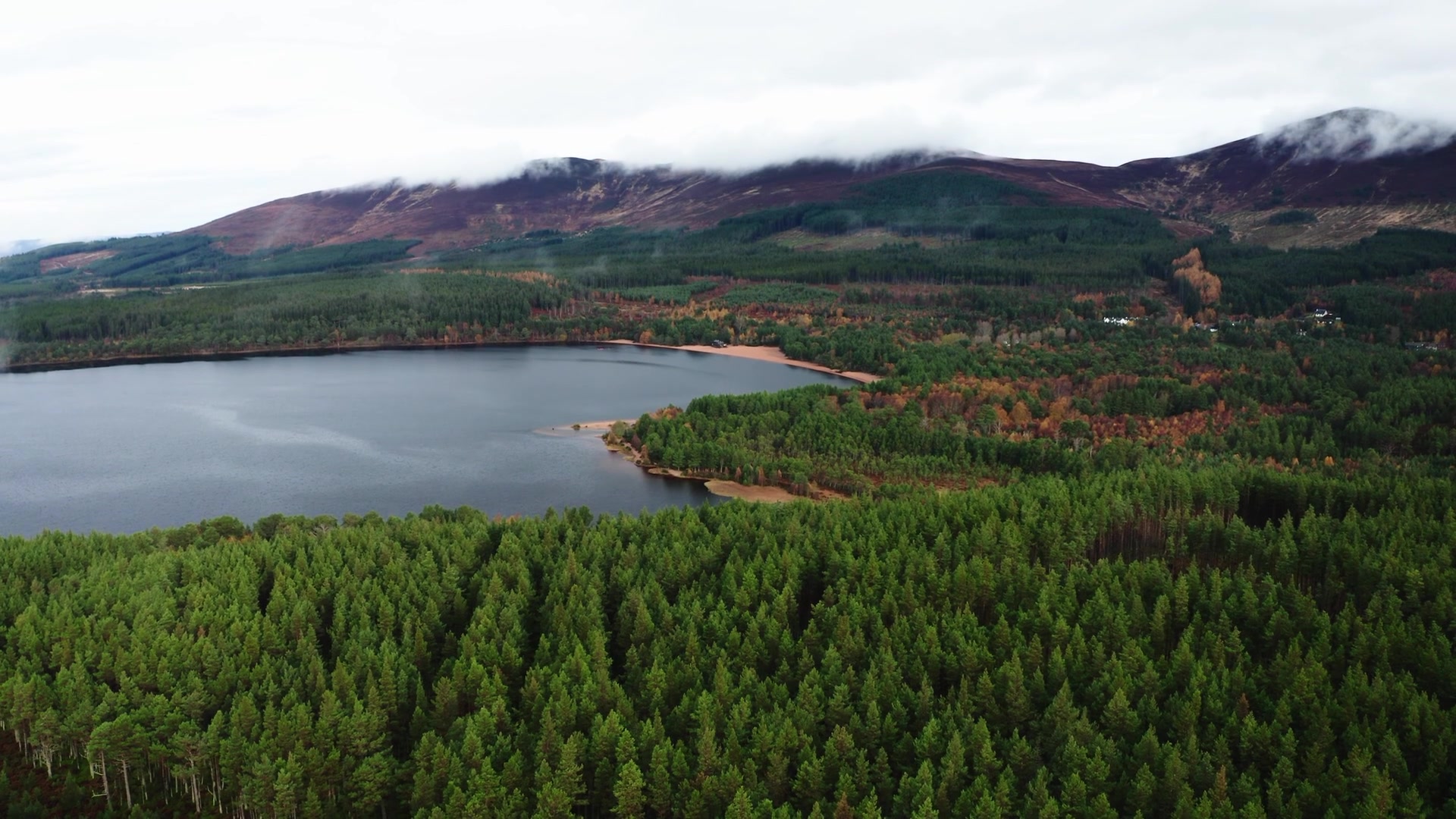 6 min by roadA walkLoch Morlich3½ miles, about two hours
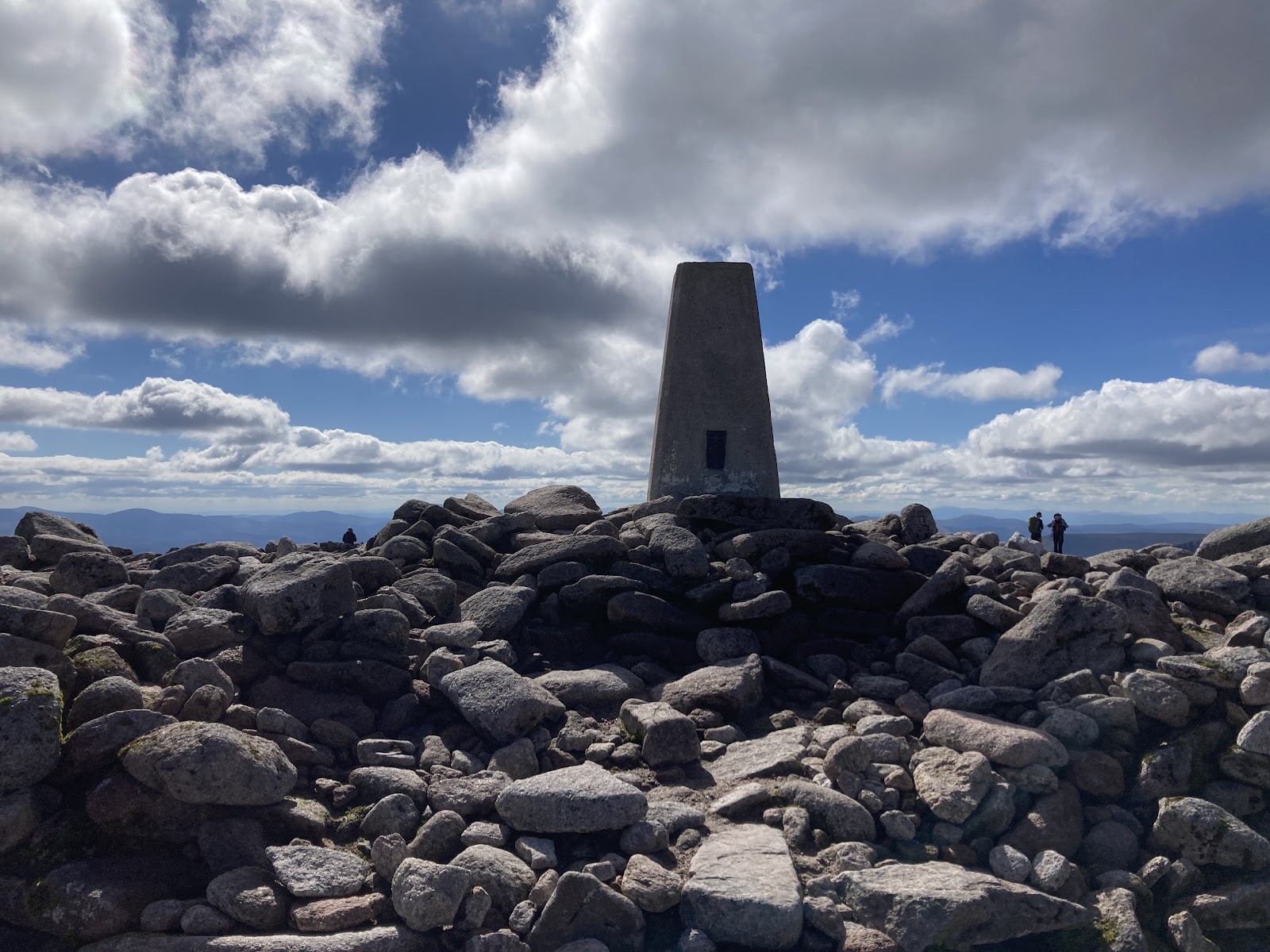 0 min by roadA hillBen Macdui10 miles, about 6 to 7 hours1 min by roadA hillCairn Gorm2¾ miles, about five hours
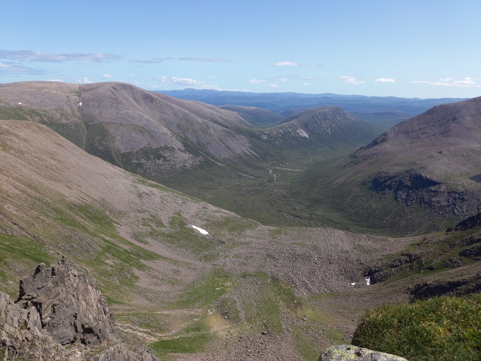 3 min by roadA hillBraeriach13 miles, about 7 to 9 hours
Did this walk?
Tell the next person how it went. The best go on this page, with your name.
Find out more
For further reading, before you go.
- Cairn Gorm, the Munro page, Hidden Scotland↗
- Cairngorm Mountain Ranger Service and the route cardcairngormmountain.co.uk↗
- Cairngorm Mountain's Mountain Reportcairngormmountain.co.uk↗
- Cairngorms National Park and Monadhliath forecast, Mountain Weather Information Servicemwis.org.uk↗
- Cairn Gorm Summit forecast, Met Officeweather.metoffice.gov.uk↗
- Northern Cairngorms avalanche forecast, Scottish Avalanche Information Servicesais.gov.uk↗
- Staying safe in the mountains, Cairngorms National Park Authoritycairngorms.co.uk↗
- Mountain access and safe hillwalking, Forestry and Land Scotlandforestryandland.gov.scot↗
- Calling for help, Mountaineering Scotlandmountaineering.scot↗
Photograph by Balázs Márk via Google
Maps from OpenFreeMap © OpenMapTiles, data © OpenStreetMap contributors; heights from Mapzen's terrain tiles.