
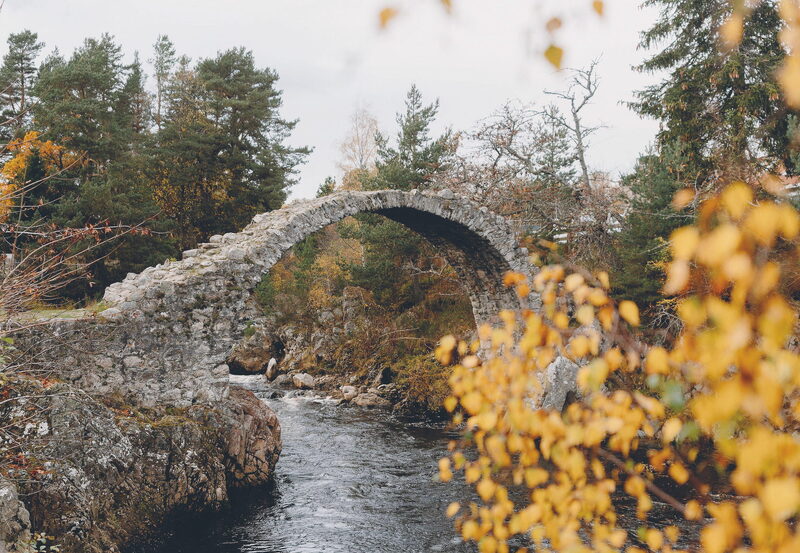
A Weekend Exploring the Cairngorms
Issue 7: Polly Cameron, Nethy Bridge resident and owner of The Dell of…
A Munro of 1,245 metres, number 6 of the 282.
Cairn Gorm, in the Cairngorms National Park, is the sixth highest of the 282 Munros.
From its summit the view runs across the Cairngorm plateau towards Ben Macdui, about five kilometres to the south, and Harvey's Cairn Gorm map names it among five summits over 4,000 feet.
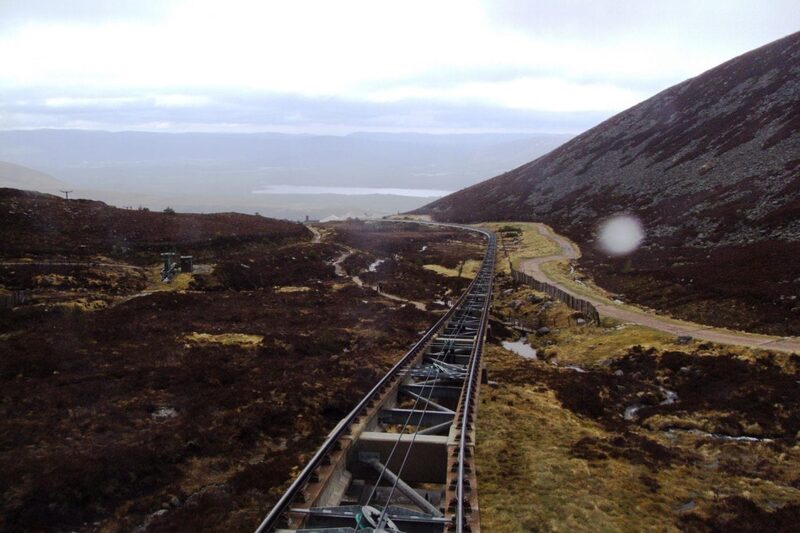
Scotland's only funicular railway climbs its northern slopes to the Ptarmigan Top Station at 1,097 metres, the highest mountain railway in the United Kingdom. Outside the snowsports season its passengers stay inside the top station, so the summit is kept for walkers.
The ski area belongs to the Cairngorm Estate, owned by Highlands and Islands Enterprise, which has put £2 million into repairing the paths onto the plateau.
From the main car park in Coire Cas, the Windy Ridge climb, the steeper way, runs up the left-hand side of the corrie onto the upper mountain. The Summit Path leaves from it, or from the upper mountain trail beyond the Lower Cas Loop. In winter the waymarks inside the ski area are taken away.
West wind to 18 mph, gusting 35
Rain, about 4 mm
Light from 7.49am to 6.10pm, ten hours
A weather model's forecast for the height of the summit, not a report from the hill. Read the mountain forecast the evening before: Cairngorms National Park and Monadhliath forecast, Cairn Gorm Summit, Northern Cairngorms avalanche forecast.
Choose the day you mean to climb.Near or far: the light you will have, and what the summit is likely to be doing.
Photographs by denisbin, Balázs Márk, Stuart Macfarlane and Kyle Baptie, via Google
During winter, many of these routes are affected by snow, ice and winter snowsports operations.Cairngorm Mountain, which runs the car park, the railway and the ranger base
Under snow and ice this is a different day, with short light and the risk of avalanche. It needs an ice axe, crampons, winter boots and the skill to use them.
The summit is optional. Turning back is the right decision whenever the cloud, the wind or the light say so.
How to call for help in the hills · Safety and skills for the hills · ThinkWINTER
Nobody has written from Cairn Gorm yet. If you were up, yours would be the first.
Were you up? Three words is enough.A free account, a word for the weather and a line if you like.
Issue 7: Polly Cameron, Nethy Bridge resident and owner of The Dell of…
Issue 6: Nick Gardner and his wife Janet were living an idyllic life on a croft…
Issue 13: Scotland's mountains can reveal their challenges as quickly as their…
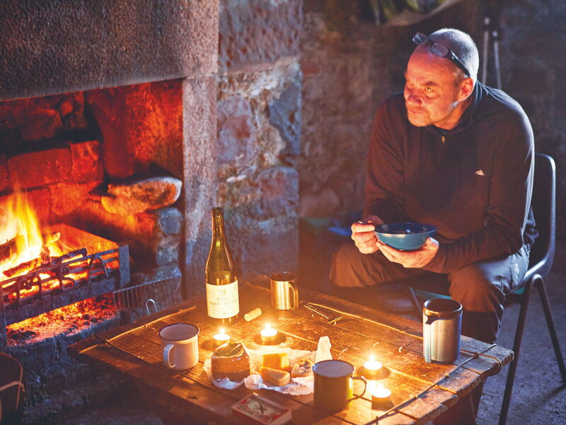
Issue 5: Here are six of my favourite bothies, all great locations for a…
For the route itself, take the map and read these.
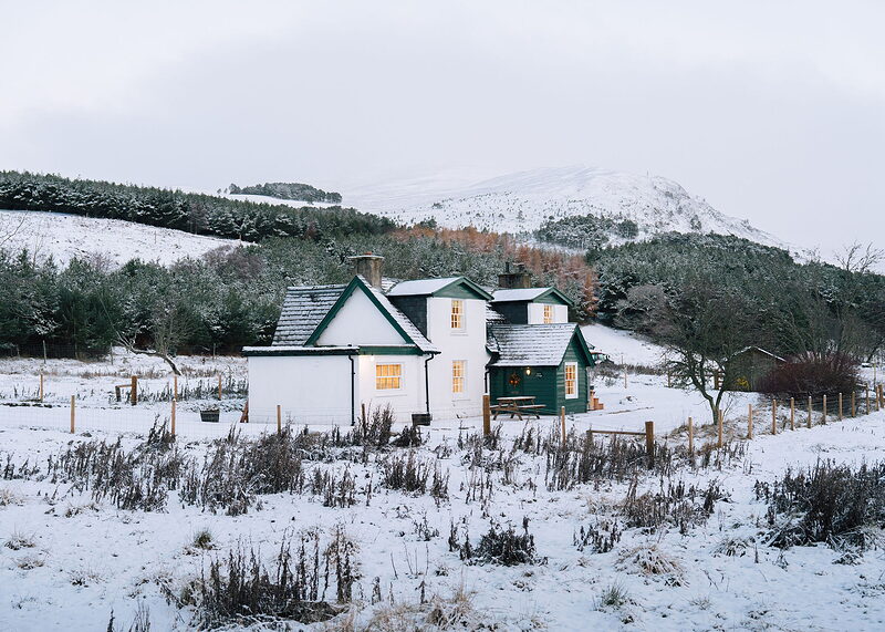
Stay: Kincraig, about nine miles from the ski area in a straight line

Stay: Glenfeshie, about twelve miles from the ski area in a straight line
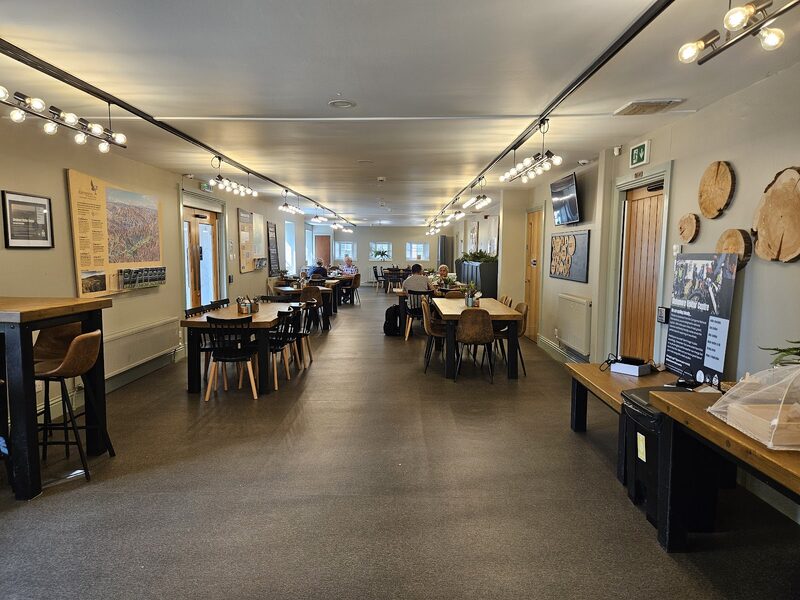
Café: Glenmore, about two and a half miles from the ski area
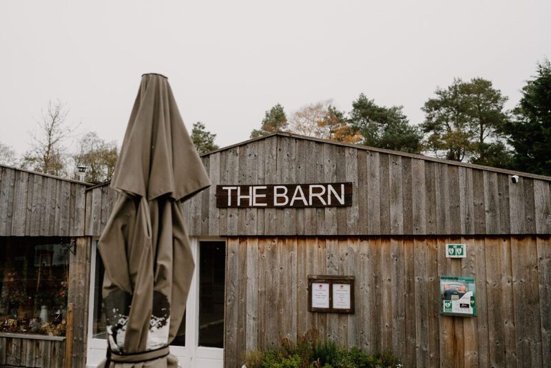
Café: Rothiemurchus, about six miles from the ski area; open 9.30am to 4.30pm…
Next along: Beinn Mheadhoin, Bynack More, Beinn a' Chaorainn, Ben Macdui. Checked on 9 October 2026. The facts on this page are Cairngorm Mountain's, which runs the ski area for its owner, Highlands and Islands Enterprise. Height and position from The Database of British and Irish Hills, v18.3, adapted, CC BY 4.0. This page is not a route description and does not replace a map.