
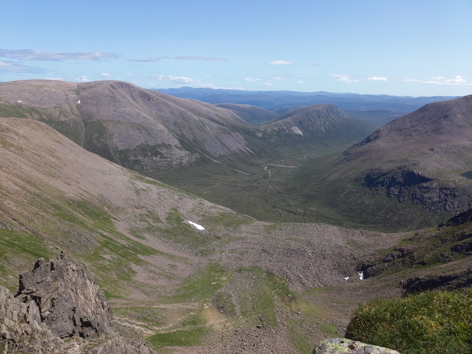
Braeriach – Through the Chalamain Gap and Up Sron na Lairige
13 miles · 7 to 9 hours · a hill · there and back
£5 parking
Braeriach, 1,296 metres, is the third highest mountain in Britain, and it stands above the Lairig Ghru in the Cairngorms.
Most people climb it from the Sugarbowl car park on the ski road: through the boulders of the Chalamain Gap, over the burn in the Lairig Ghru and up Sron na Lairige to the rim of Coire Bhrochain. They come back the same way. By our map it is about 21 km there and back with about 1,260 metres of climb, and it takes about 7 to 9 hours. It is a long, remote day on high, open ground where navigation in mist is the danger: for experienced hillwalkers who can find their way with a map and compass.
Where it starts
Start at the Sugarbowl car park on the Cairngorm ski road, about 3 km beyond Loch Morlich, run by Forestry and Land Scotland with The Highland Council.
Is it for me?
Tap who is coming, or the day you have, for the answer on this walk.
Before you go
Getting there
The car park charges £2 for up to an hour, £3 for up to three hours, £5 for the day, from 8am to 10pm every day, pay and display. The longest stay is 14 hours, and the council's record says no staying overnight. It has 75 spaces, and its postcode is PH22 1QY. The start is reached by the ski road from Aviemore past Loch Morlich. By our map no bus stop is mapped at the Sugarbowl; the buses from Aviemore stop at the Cairngorm Mountain car park, about 1.5 km further up the ski road.
On the path
About 7 to 9 hours there and back: about 21 km (13 miles) and 1,260 metres of climb by our map. From the Sugarbowl through the boulders of the Chalamain Gap, over the burn in the Lairig Ghru and up Sron na Lairige to the summit, 1,296 metres, and back the same way. Steps down to a footbridge, a moorland path with three small burns to cross by stepping stones and a ford, then a slow clamber over big boulders through the Chalamain Gap. The burn in the Lairig Ghru is crossed with no bridge. Above it, a steep, faint path up Sron na Lairige and a path along the rim of the cliffs of Coire Bhrochain to the summit. A long, remote Munro day of about 21 km, with a boulder field, a burn to cross with no bridge and cliff edges on high, open ground: for older children used to big hill days, with an adult who can navigate. The map to carry is OS Landranger 36, Grantown & Aviemore (1:50,000); OS Landranger 43, Braemar & Blair Atholl (1:50,000) shows the country round it.
Good to know
Summer and early autumn in daylight, on a clear day with a good forecast, best after a dry spell. We found no toilets at the Sugarbowl, so plan for none at the start; by our map the nearest are at the Cairngorm Mountain car park, about 1.5 km up the ski road. Under snow it is a winter mountain, with cornices over the corries: read the Northern Cairngorms avalanche forecast, as the Scottish Avalanche Information Service counts Braeriach among the outlying mountains of that area. After the Glenmore wildfire some paths near the Sugarbowl are closed: read the notices of Forestry and Land Scotland and the National Park Authority on the day.
The walk
The usual way up Braeriach starts at the Sugarbowl car park on the Cairngorm ski road. It goes through the Chalamain Gap, across the Lairig Ghru and up Sron na Lairige. By our map it is about 21 km (13 miles) there and back, with about 1,260 metres of climb. Allow about 7 to 9 hours, more with stops, in poor weather or under snow, and leave plenty of daylight for the way down. The summit is 1,296 metres up, the third highest in Britain. It is a long, remote hill day. The Chalamain Gap is a slow clamber through a field of boulders, and the burn in the Lairig Ghru is crossed with no bridge. The summit stands on the edge of the cliffs of Coire Bhrochain. In mist the plateau is hard to navigate, and in winter cornices hang over the corries. No public body publishes a distance or a time for this way. Others start in Rothiemurchus or at Loch Morlich and walk up the Lairig Ghru, or take in Cairn Toul as well: this walk keeps to the usual one.
Forestry and Land Scotland runs the Sugarbowl car park with The Highland Council, on a sharp bend of the ski road about 3 km beyond Loch Morlich. In 2026 the council charges £2 for up to an hour, £3 for up to three hours and £5 for the day, from 8am to 10pm every day, pay and display. The longest stay is 14 hours, and the council's record says no staying overnight. It has 75 spaces, and its postcode is PH22 1QY. We found no toilets at the Sugarbowl, so plan for none at the start. By our map the nearest are at the Cairngorm Mountain car park, about 1.5 km up the ski road, where the buses from Aviemore stop; no bus stop is mapped at the Sugarbowl.
Before you set off, check the mountain forecast, and under snow the avalanche forecast too. On the hills it is often much colder and windier than down in the glen, Forestry and Land Scotland warns. Wear good walking boots and carry warm, waterproof clothing, plenty of food and drink, and a torch in case the day runs long. Carry a map and compass and know how to use them, and do not rely only on a phone or GPS. Leave word with someone of where you are going and when you will be back. Read the closure notices of Forestry and Land Scotland and the National Park Authority on the day too.
From the car park, cross the ski road with care and take the path opposite, down the steps to the Allt Mor. Cross the burn by the footbridge, Utsi's Bridge, and climb out of the trees on the far side. The paths up and down the burn from the bridge are not this way. The National Park Authority lists the Allt Mor path from the Sugarbowl down to the Allt Mor car park as closed after the wildfire. By our map a sign at the bridge closes the upper path to Cairn Gorm, unsafe from erosion and landslips. Keep west on the path for the Chalamain Gap, which neither notice names. It runs west across open moor, and by our map it crosses three small burns with no bridge, two by stepping stones, about 2.1 to 2.3 km out.
About 3 km out the path climbs into the Chalamain Gap, a narrow ravine between crags. Forestry and Land Scotland describes it as filled with a jumble of boulders. There is no clear path through it: for about 650 metres by our map the way is a slow clamber over big boulders. It is harder still when the gap is banked with snow, one guide warns. Its high point, about 705 metres up by our map, is about 3.6 km from the car park.
Beyond the gap the path drops about 100 metres into the Lairig Ghru, the great pass through the Cairngorms, and meets the path along it about 5.2 km out. The burn here is the Allt Druidh, and there is no bridge on this way. Keep south, up the glen, for about 150 metres by our map, and cross where the burn comes out from under the boulders. One guide advises crossing there, not at the first place you meet it. After heavy rain or snowmelt the burn can run high: the National Park Authority warns of flash floods in summer. If the crossing looks unsafe, turn back.
Over the burn the path climbs steeply onto Sron na Lairige, the long ridge on the west side of the pass. By our map it rises about 280 metres in the first kilometre from the burn, and the path is faint in places. On this climb the path passes close above mapped crags that fall to the Lairig Ghru, about 6.9 km out by our map. Higher up it eases onto a broad crest and runs south along the ridge. The path passes below the top of Sron na Lairige, 1,184 metres, then drops about 40 metres to a col.
From the col a wide path climbs to the edge of the cliffs above Coire Bhrochain. Keep the edge well to your left, one guide advises, above all in poor visibility, and in snow beware of cornices. The path turns west along the rim, and by our map the last kilometre runs within about 10 to 50 metres of mapped cliffs. The summit cairn stands right above the drops of Coire Bhrochain, where snow lies later than almost anywhere in Scotland, one guide says. The wide plateau runs on beyond it.
On Braeriach navigation in mist is the danger. The vast plateau west of the summit is particularly hard to navigate in mist, one guide warns, and up high the paths often fade into boulder fields. Cliff edges with long drops are close by on much of the way. Out on the hill there are no waymarks or signposts, Forestry and Land Scotland says. If the cloud comes down, the wind rises or anyone is tiring, turn back by the way you came: Forestry and Land Scotland asks walkers to turn back if they get tired.
Under snow it is a winter mountain, for walkers with winter skills and the gear to match. In winter cornices can reach well out beyond the edges of the corries and hide them, one guide warns. The National Park Authority warns of extreme winter temperatures, unpredictable weather and avalanches on the high plateaux. The Scottish Avalanche Information Service counts Braeriach among the outlying mountains of its Northern Cairngorms area, so read that forecast before you go.
The way down is the way you came. Follow the rim east and north, keeping the edge on your right in mist, and take a bearing off the top before you leave it. Then go back down Sron na Lairige to the Lairig Ghru and cross the burn where you crossed it before. By our map the way back has about 230 metres of climb, most of it the pull of about 110 metres up from the Lairig Ghru to the Chalamain Gap, late in a long day. Then come the boulders again.
If it rains
None on this walk: in rain, low cloud or a high wind, leave the summit for another day. The burn in the Lairig Ghru has no bridge and runs high after rain, and the boulders of the Chalamain Gap are slow. The plateau is hard to navigate in mist, and Forestry and Land Scotland asks walkers to turn back if they get tired.
After the walk
Something to do with the rest of the day, nearest the end of the walk first.
With the rest of the day
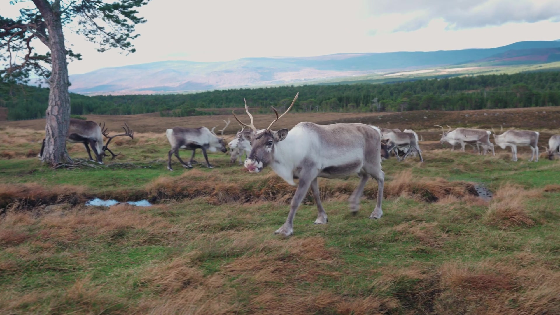 3 min by roadThings to doCairngorm Reindeer CentreBritain's only free-ranging reindeer, on the Cairngorm slopes above Glenmore, brought back in 1952, with guided Hill Trips most days.
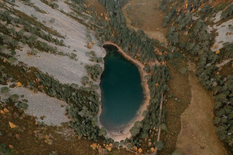 4 min by roadThings to doAn Lochan UaineThe green lochan of the Ryvoan Pass above Glenmore, reached by the Ryvoan Trail from the visitor centre and said to be the fairies' washing place.
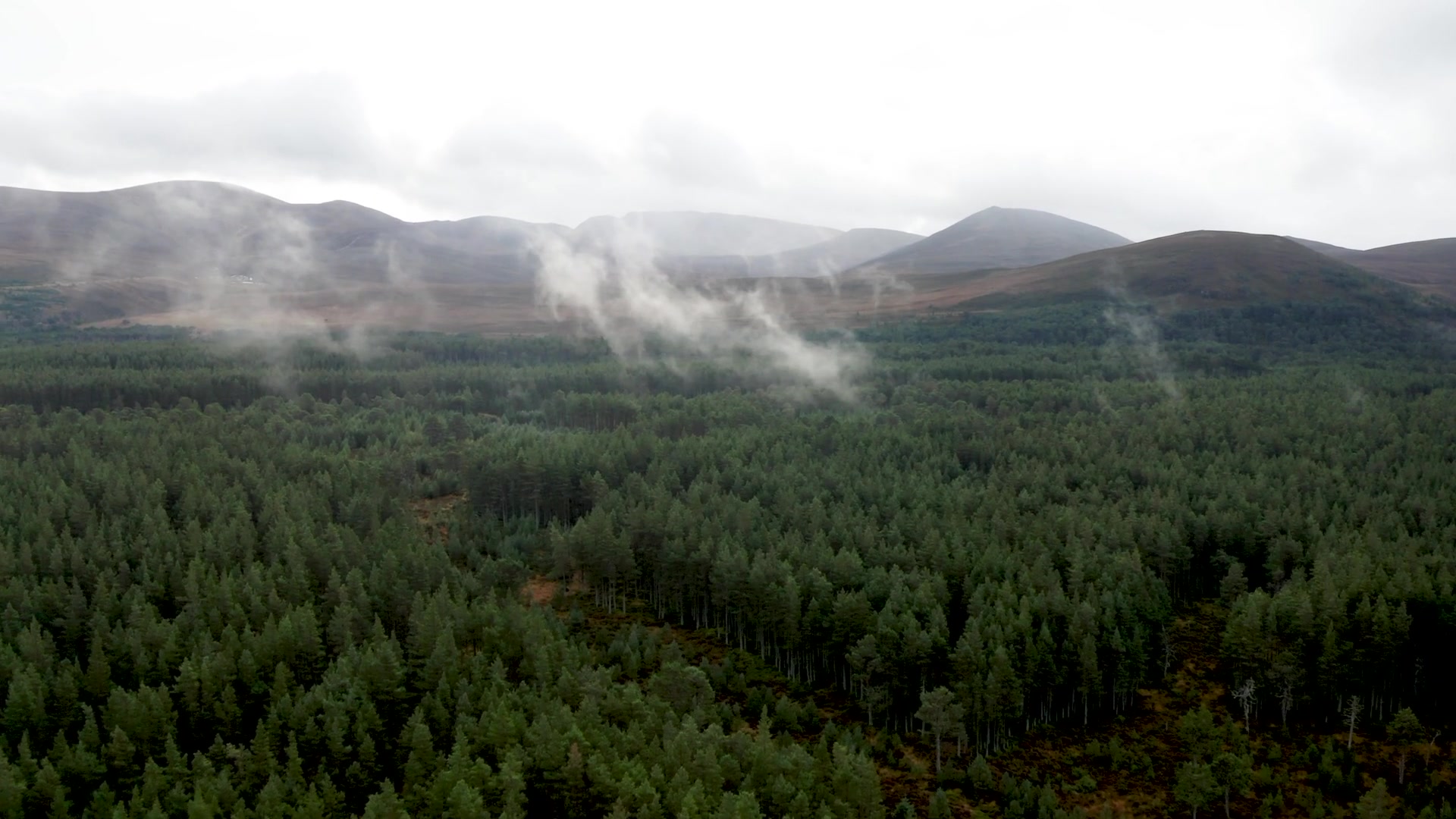 5 min by roadThings to doLoch MorlichThe highest beach in Britain, golden sand on a loch of the Glenmore pinewoods, with watersports and the Cairngorms beyond.
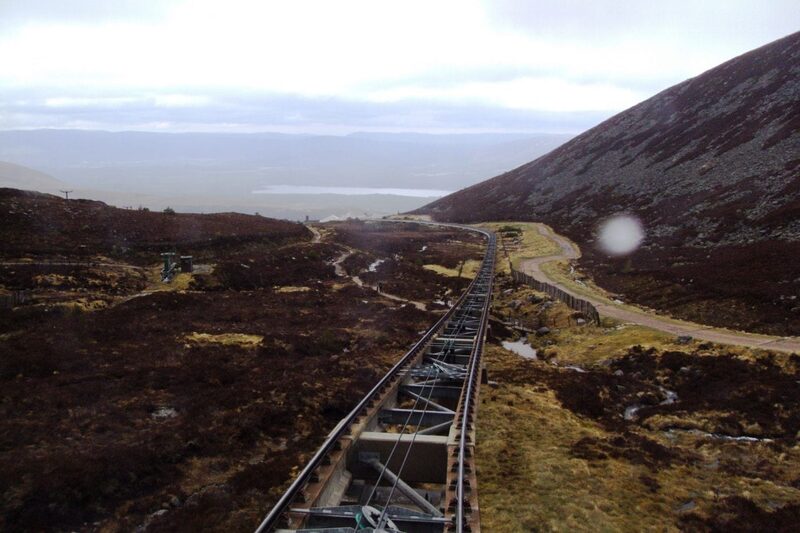 6 min by roadThings to doCairngorm MountainScotland's only mountain railway, climbing to the Ptarmigan Top Station at 1,097 metres, home of the UK's highest restaurant, above Glenmore.
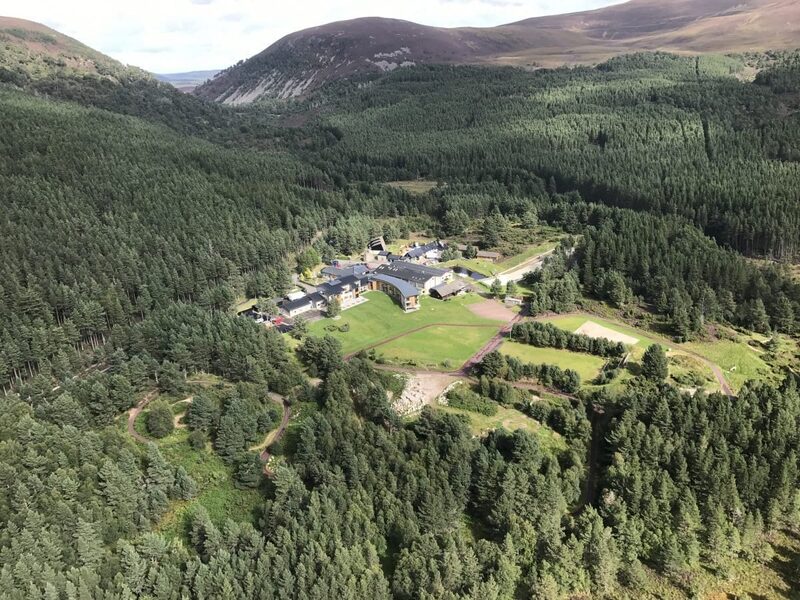 6 min by roadThings to doGlenmore LodgeScotland's National Outdoor Training Centre, beyond Loch Morlich, teaching courses at every level in more than ten outdoor sports.
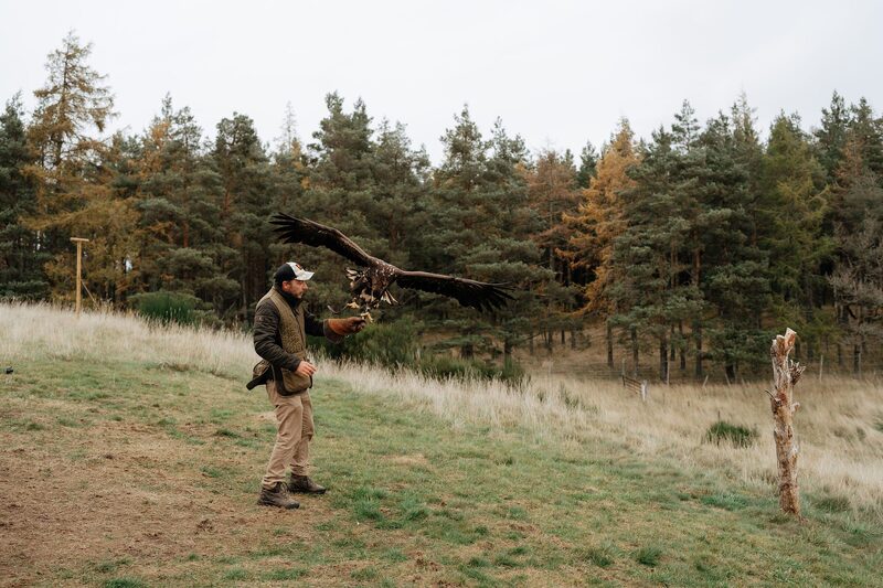 14 min by roadThings to doRothiemurchus FalconryFly owls, hawks and a great eagle yourself on the Rothiemurchus estate near Aviemore, with falconers Jonny and Daisy Ames.
Places to stay near the walk
Our places to stay nearest the start, by road.
An advert · Nethy Bridge
East Dell
The most tucked-away cottage at the Dell of Abernethy near Nethy Bridge, for five, with a garden that catches the morning sun.
Sleeps 5 · 29 minutes by road
See East Dell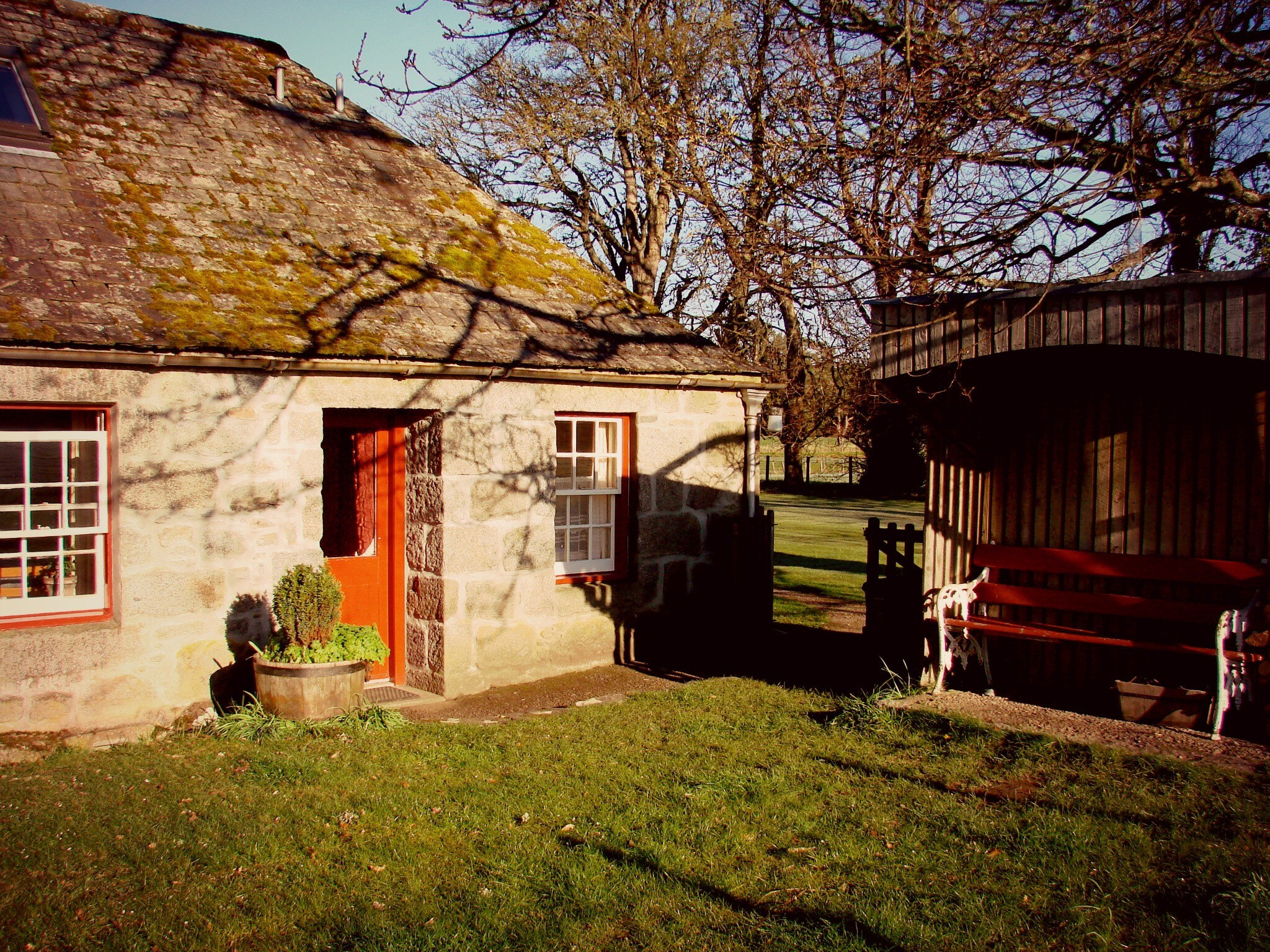
More places to stay near the walk
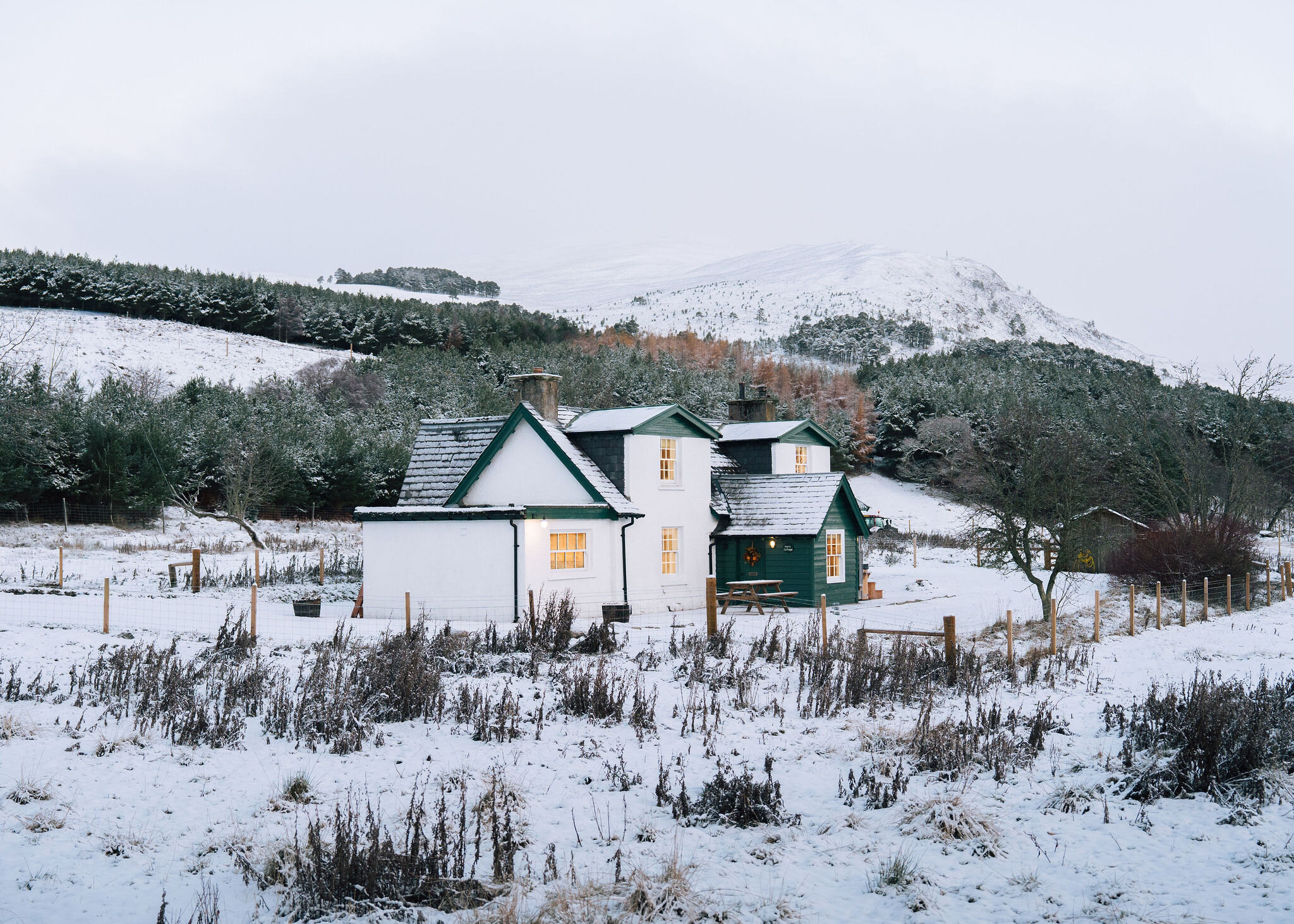 An advert · KincraigPark CottageSleeps 6 · 24 minutes by road
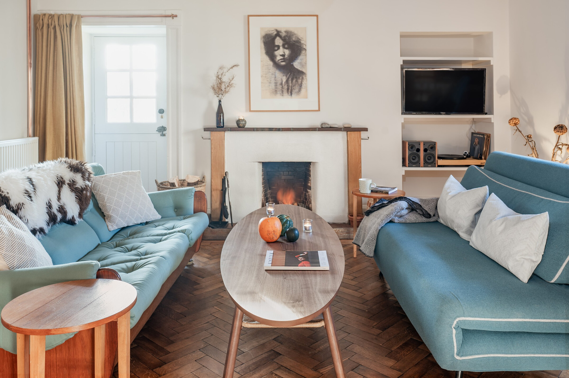 An advert · Nethy BridgeDell CottageSleeps 2 · 29 minutes by road
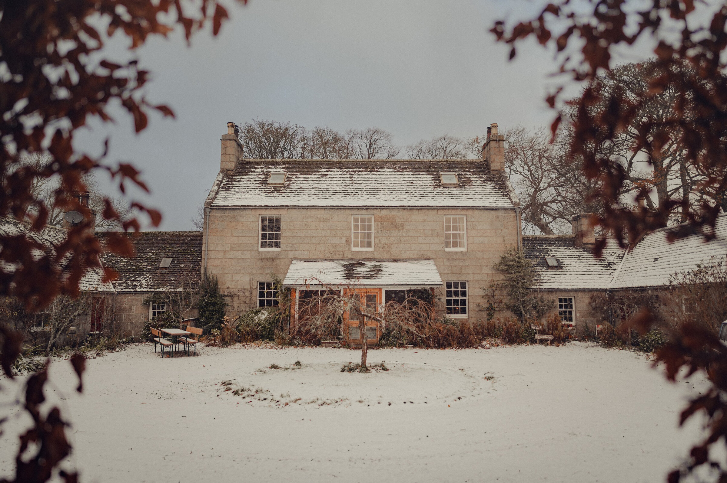 An advert · Nethy BridgeDell LodgeSleeps 8 · 29 minutes by road
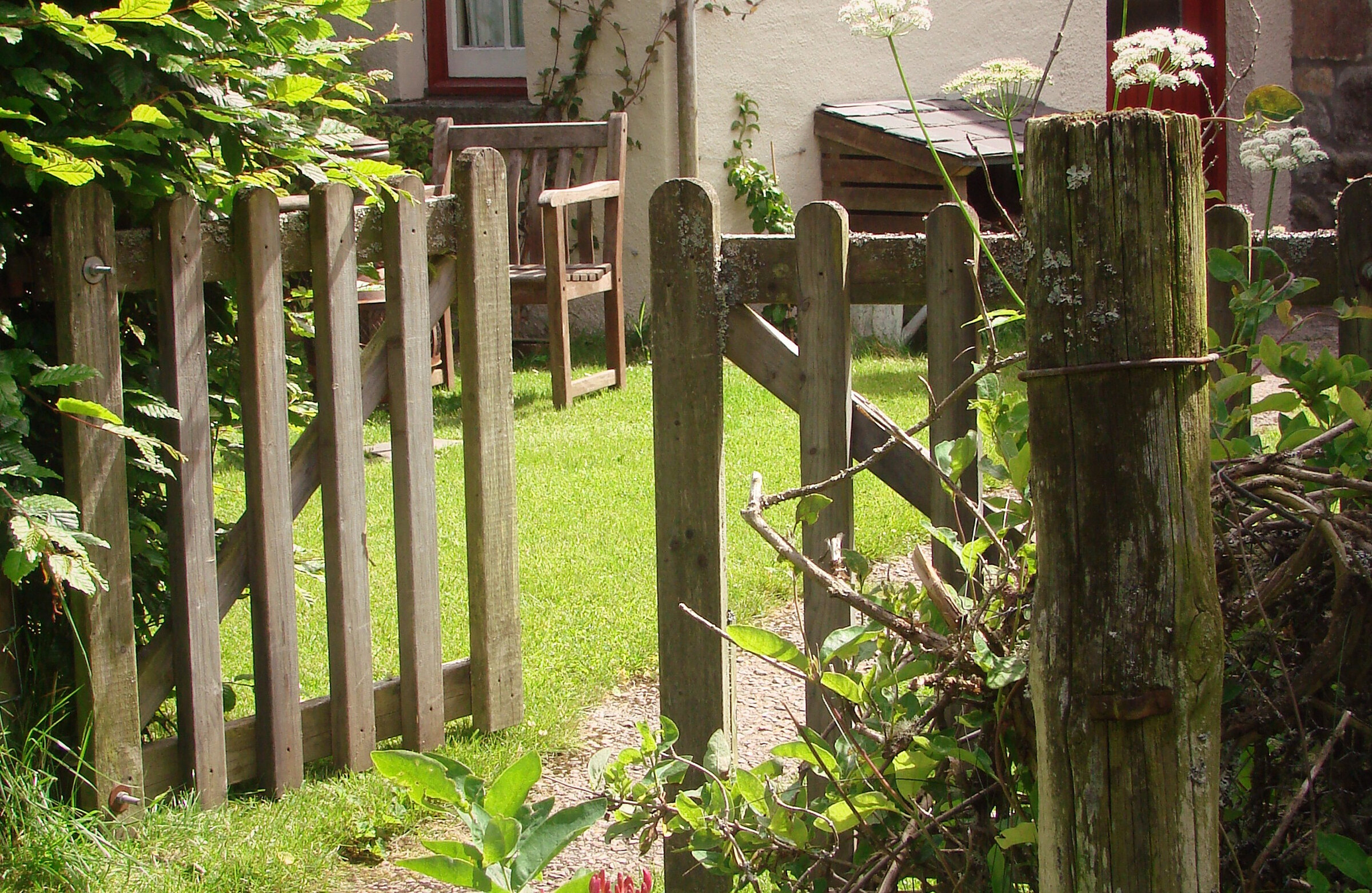 An advert · Nethy BridgeLittle DellSleeps 2 · 29 minutes by road
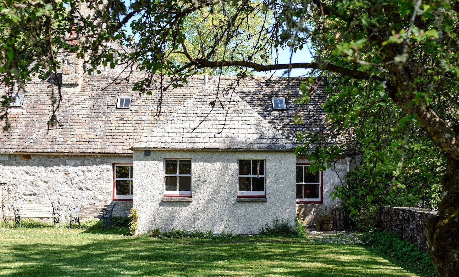 An advert · Nethy BridgeSouth DellSleeps 6 · 29 minutes by road
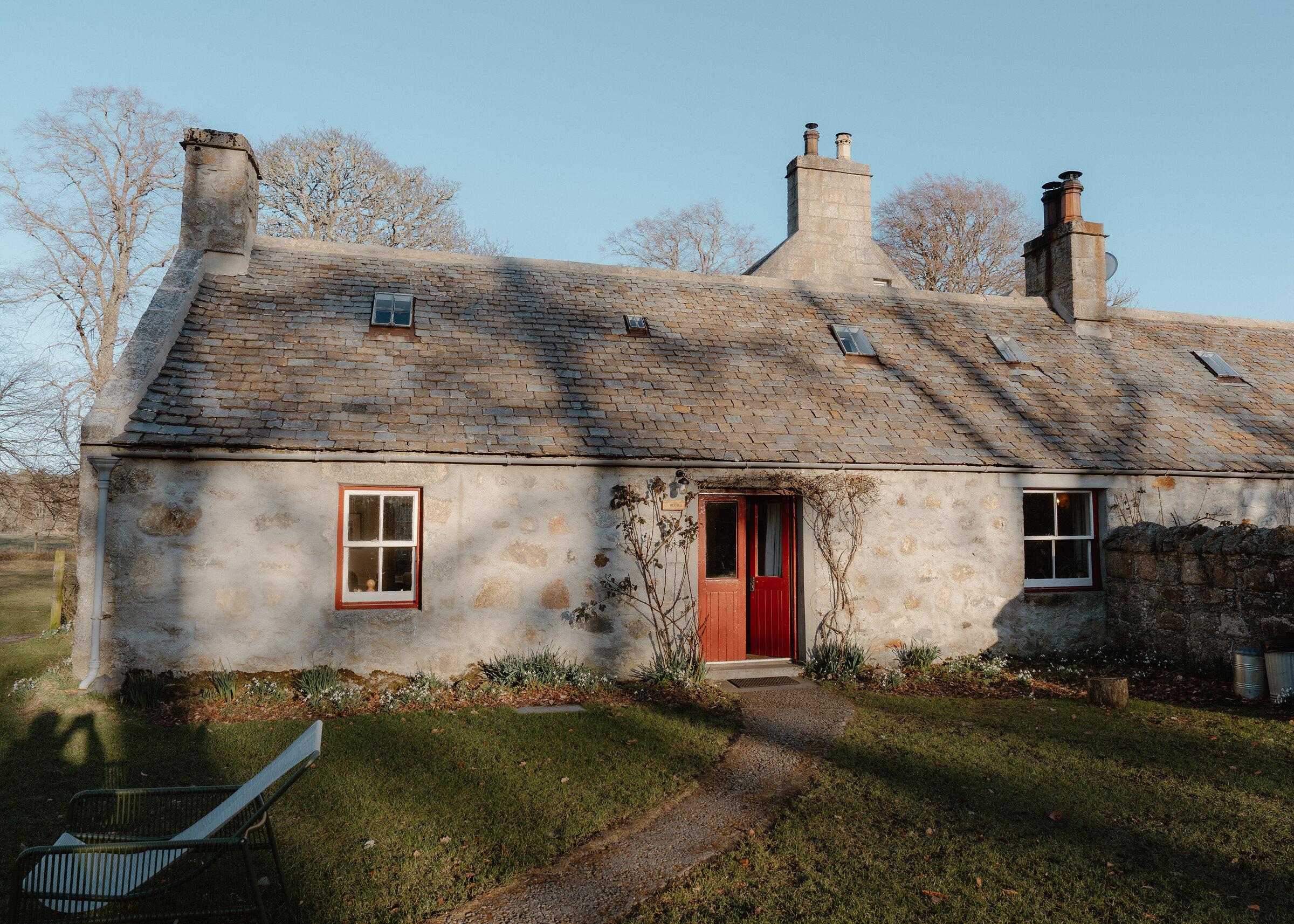 An advert · Nethy BridgeWest DellSleeps 6 · 29 minutes by road
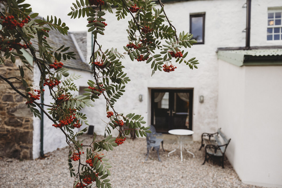 An advert · KingussieCairngorms Church Hill HouseSleeps 4 · 30 minutes by road
More walks near here
Within a short drive of the start.
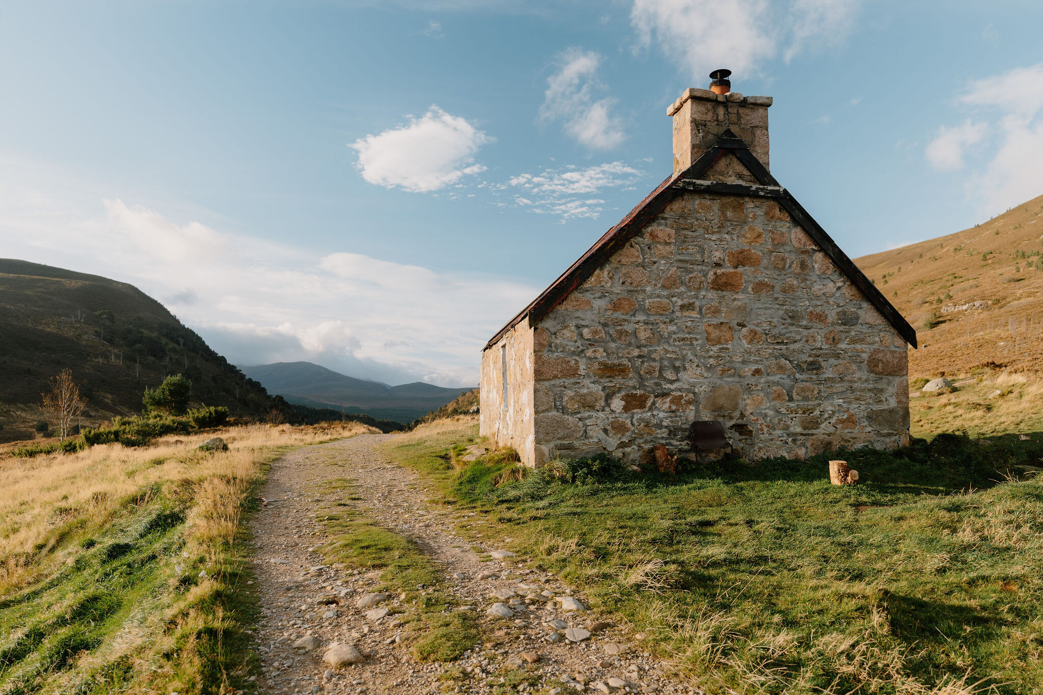 4 min by roadA long dayRyvoan Bothy5 miles, 2¼ to 3 hours
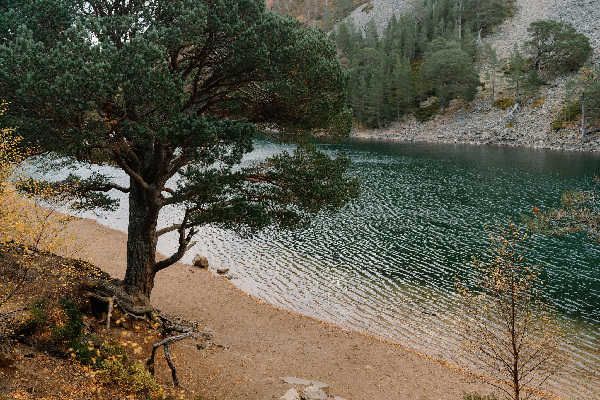 4 min by roadA walkThe Green Lochan3½ miles, about two and a half hours
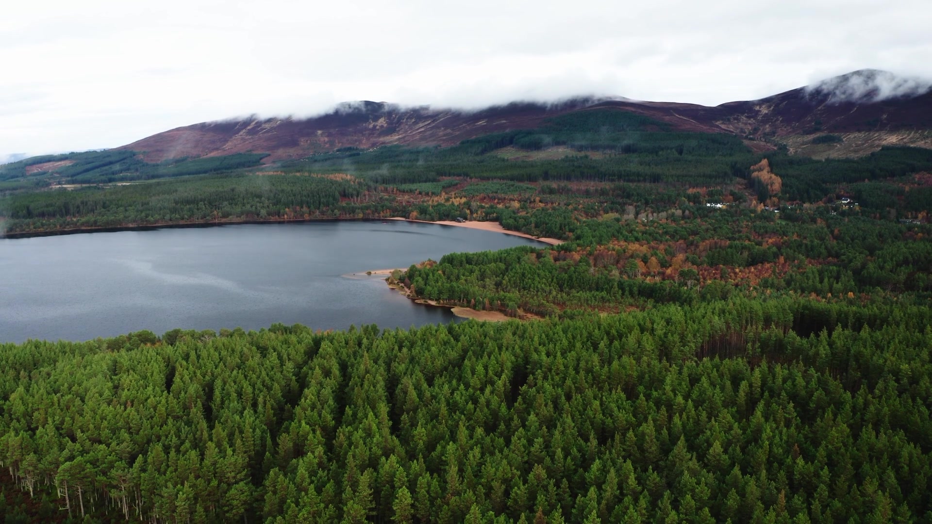 4 min by roadA walkLoch Morlich3½ miles, about two hours
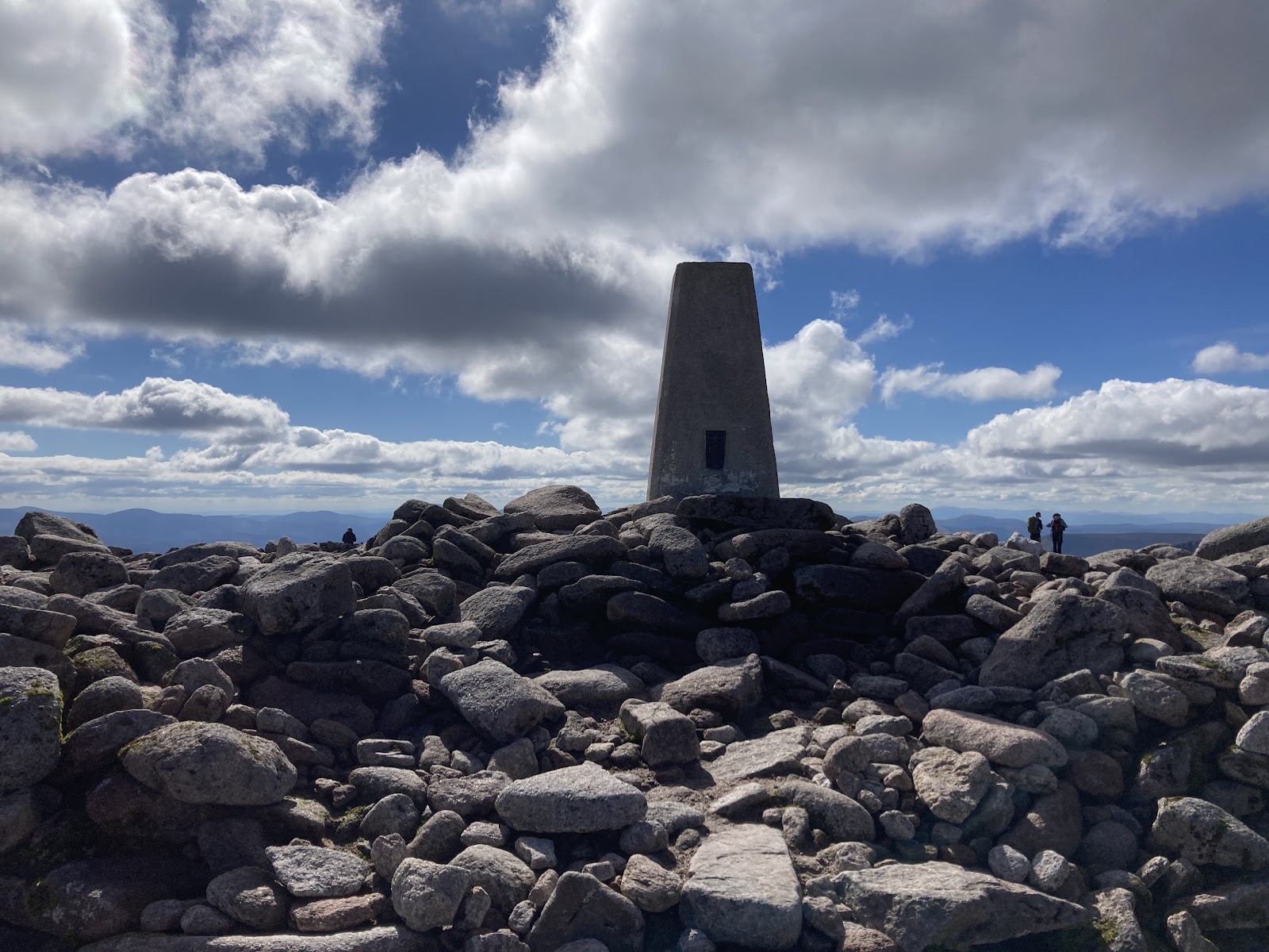 4 min by roadA hillBen Macdui10 miles, about 6 to 7 hours
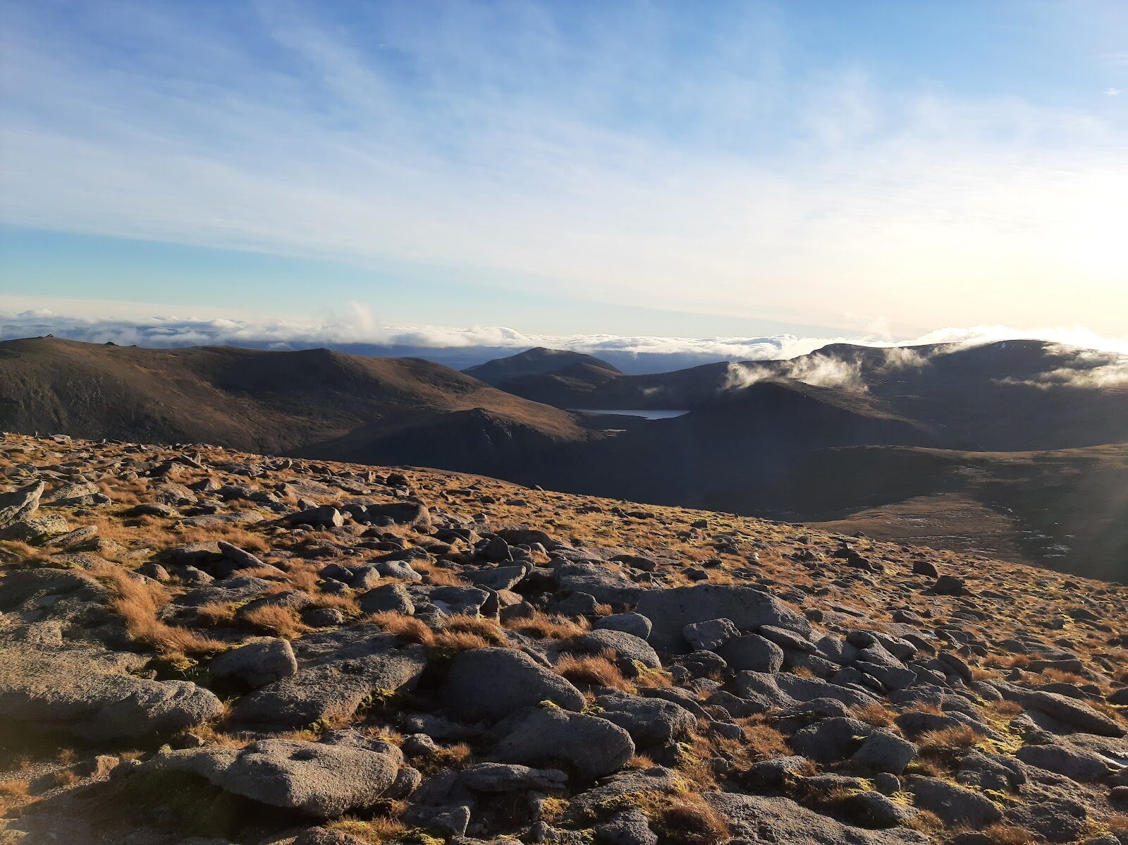 4 min by roadA hillCairn Gorm4½ miles, about 3 to 4 hours6 min by roadA hillCairn Gorm2¾ miles, about five hours
Did this walk?
Tell the next person how it went. The best go on this page, with your name.
Find out more
For further reading, before you go.
- Braeriach, the Munro page, Hidden Scotland↗
- The Sugarbowl, Forestry and Land Scotlandforestryandland.gov.scot↗
- Sugarbowl alerts, Forestry and Land Scotlandforestryandland.gov.scot↗
- Path closures, Cairngorms National Park Authoritycairngorms.co.uk↗
- Aviemore, Sugarbowl car park, The Highland Councilhighland.gov.uk↗
- Cairngorms National Park and Monadhliath forecast, Mountain Weather Information Servicemwis.org.uk↗
- Northern Cairngorms avalanche forecast, Scottish Avalanche Information Servicesais.gov.uk↗
- Mountain access and safe hillwalking, Forestry and Land Scotlandforestryandland.gov.scot↗
Photograph by Matías Argüello via Google
Maps from OpenFreeMap © OpenMapTiles, data © OpenStreetMap contributors; heights from Mapzen's terrain tiles.