
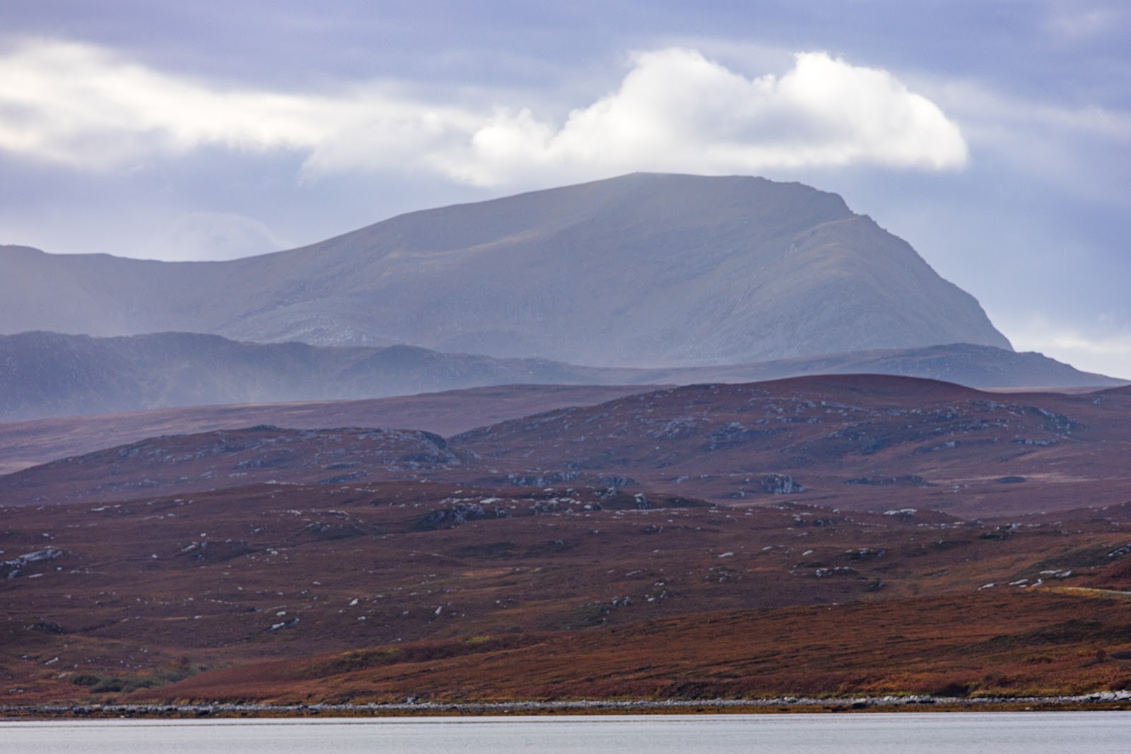
Ben Hope – Up the South Flank to the Most Northerly Munro
4½ miles · 4 to 5 hours · a hill · there and back
Ben Hope, 927 metres, is Scotland's most northerly Munro, rising above Strath More in Sutherland.
The usual way up starts at Muiseal on the single-track Strathmore road and climbs steeply beside the Allt a' Mhuiseil, then north up the broad south flank and the south ridge to the summit. The way back is the same. By our map it is about 7.4 km there and back with about 900 metres of climb, and it takes about 4 to 5 hours. The path is steep and eroded, and near the top it climbs rocky ground above the crags of the west face.
Where it starts
At Muiseal on the single-track Strathmore road, about 2 kilometres north of Alltnacaillich, by a barn and a sign reading Way up Ben Hope.
Is it for me?
Tap who is coming, or the day you have, for the answer on this walk.
Before you go
Getting there
Out About Scotland gives the bay room for about five cars; Scotland-Landscapes describes two grassy parking areas. Strath More is reached by a long single-track road with passing places, from the A838 at the north end of Loch Hope or from Altnaharra. There are no toilets, shops or fuel for miles around and no bus, so come with all you need. Start early enough to be down in daylight.
On the path
About 4 to 5 hours there and back: about 7.4 km (4½ miles) and 900 metres of climb by our map. From Muiseal in Strath More up beside the Allt a' Mhuiseil and the south ridge to the 927 metre summit, and back the same way. A rough, steep path beside a burn, small burns with no bridges, boggy ground, a badly eroded climb up the south flank, and steep rocky ground above crags near the top, where you may need your hands: one source calls it a mild scramble and another a rockier, more technical section, and neither gives a grade. A steep Munro, with rocky ground above crags near the top and a stony summit that is hard to find your way across in mist. Only for children used to long hill days, kept close, with an adult who can navigate. The map to carry is OS Explorer 447, Ben Hope, Ben Loyal & Kyle of Tongue (1:25,000); OS Landranger 9, Cape Wrath (1:50,000) shows the country round it.
Good to know
All year in daylight, on a clear day with a good forecast. No source read sets a rule for dogs on the hill; keep them close above the crags of the west face. Under snow it is a winter mountain, and no avalanche forecast covers Ben Hope. Deer stalking can take place at any time of year, the first three weeks of October being the busiest and hinds being stalked from 21 October to 15 February: check before you go and follow any signs.
The walk
The usual way up Ben Hope starts at Muiseal, on the single-track road through Strath More, and comes back the same way. By our map it is about 7.4 km (4½ miles) there and back, with about 900 metres of climb. Allow about 4 to 5 hours, more with stops, in poor weather or under snow. A steep path climbs beside the Allt a' Mhuiseil to a brief levelling at about 450 metres, then turns north up the broad south flank and the south ridge to the summit, 927 metres up. Other ways exist: a path climbs the whole south ridge from Alltnacaillich, and the north ridge is a harder way, a scramble with a difficult rock step. This walk takes neither.
Strath More is reached by a long single-track road with passing places, from the A838 at the north end of Loch Hope in the north or from Altnaharra in the south. The start is at Muiseal, about 2 kilometres north of Alltnacaillich, by a barn and a sign reading Way up Ben Hope. Out About Scotland gives the bay opposite the barn room for about five cars, and Scotland-Landscapes describes two grassy parking areas. OpenStreetMap maps the layby as free, and no source read gives a charge. There are no toilets, shops or fuel for miles around, and no bus: come with all you need. A storm once washed out bridges on this road and closed it, one walker reports, so check before a long drive.
Before you set off, check the mountain forecast: the Mountain Weather Information Service's Northwest Highlands forecast covers the hill, and the Met Office gives one for the summit. Conditions on the hills are often much colder and windier than down in the strath, Forestry and Land Scotland warns. Wear good walking boots and carry warm, waterproof clothing, plenty of food and drink, and a torch. Carry a map and compass and know how to use them, and do not rely only on a phone or GPS: the Ordnance Survey's Explorer 447 covers the walk. Deer stalking can take place at any time of year, Mountaineering Scotland says: the first three weeks of October are the busiest, and hinds are stalked from 21 October to 15 February. Check the Heading for the Scottish Hills website before you go and follow any signs. Leave word with someone of where you are going and when you will be back.
From the sign the path crosses a field and climbs at once, rough and very steep, up the south side of the Allt a' Mhuiseil, past its waterfalls and pools. The ground beside the burn is rocky: take care here. The path then zigzags up through small crags and escarpments and over boggy ground, in places a muddy quagmire. By our map it crosses small burns four times on this lower hill, with no bridges, and they can rise fast after rain: if they run high, do not cross. At about 450 metres, half way up, the slope eases for a while.
Above the levelling the path turns north and climbs steeply up the broad south flank onto the south ridge. Between about 500 and 750 metres it is badly eroded, and the going is hard. The views open up behind you, west across Strath More to Foinaven and Arkle. Higher up a few small cairns mark the way, and the grass gives way to bare rock and loose stones as you reach a false summit.
All the way up, the west side of the hill falls away on your left. It is very steep along its whole length, with two tiers of crags, and the higher tier forms the edge of the ridge you are climbing, Scotland.org.uk says. By our map the path passes within about 15 metres of a mapped crag below the summit. Above the false summit the path climbs steep, rocky ground close above this western escarpment. Out About Scotland calls it a mild scramble from there to the top, and 10Adventures a rocky, more technical section: neither gives it a grade, and you may need your hands in places. Keep to the path and well back from the edge, above all in wind or mist.
The summit, 927 metres, has a trig point inside a low wall of stones that gives some shelter. On a clear day the view runs east over Ben Loyal, the Kyle of Tongue and the Flow Country. Ben Hope is Scotland's most northerly Munro, and it stands a long way from the rest: Ben Klibreck, the nearest, is about 23 kilometres to the south-east. North of the summit the flat top drops away on both sides of the knife-edged north ridge. That ridge is very steep and rocky, with a difficult section where a very exposed rock step bars the way for most walkers: Scotland-Landscapes calls it a rock climb of Very Difficult grade. It is not a way down, and this walk turns back at the summit.
In mist the stony top is a hard place to find your way, and Scotland Off the Beaten Track warns that it could need careful navigation in poor visibility. Out on the hill there are no waymarks or signposts, Forestry and Land Scotland warns. Crags fall away on the west side of the top and the north ridge drops away beyond it, and a path leads on north from the summit towards that edge: it does not lead back to the road. Before you leave the summit, take a bearing south along the path you came by, and keep count of your time or paces. If the cloud comes down, the wind rises or anyone is tiring, turn back by the way you came.
Under snow Ben Hope is a winter mountain, and the days are short. Snow has fallen here as late as May. Then it needs winter skills, an ice axe and crampons that fit a rigid boot: micro spikes are not made for steeper ground where a slip could lead to a fall, Mountaineering Scotland warns. Low cloud or falling snow can cut the view to a few metres, and wind can whip up a white-out even on a sunny day. No avalanche forecast covers Ben Hope: the Scottish Avalanche Information Service forecasts for six other areas. That does not mean there is no risk here under snow.
The way down is the way you came: south along the ridge, down the steep, eroded flank to the levelling, and down beside the Allt a' Mhuiseil to the road. The rocky stretch below the summit and the steep path beside the burn need as much care going down as coming up. If someone is hurt, call 999 or 112 and ask for Police and Mountain Rescue, Mountaineering Scotland says. Give a six-figure grid reference and a named feature if you can. Mobile signal in the Highlands can be poor: to be able to text 999 where a call will not connect, register first by texting the word register to 999.
If it rains
None on this walk: in rain, low cloud or a high wind, leave the summit for another day. The path beside the burn is rocky and steep, and the small burns on the lower hill have no bridges and can rise. In cloud the stony top above the western crags needs careful navigation: if it comes down, turn back by the way you came.
Places to stay near the walk
Our places to stay nearest the start, by road.
An advert · Hope
Ferryman's Cottage
The ferryman's house of about 1830 on the banks of Loch Hope, now a timber-lined stone cottage for four with a copper bath.
Sleeps 4 · 11 minutes by road
See Ferryman's Cottage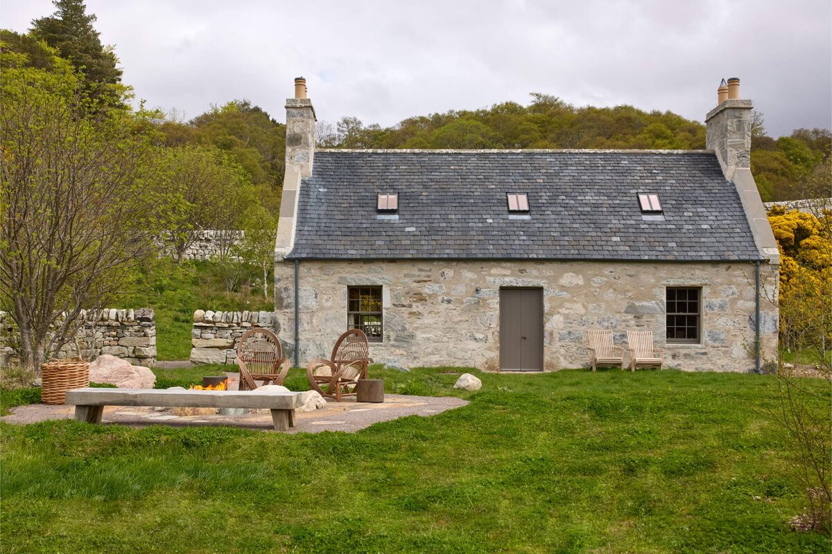
More places to stay near the walk
More walks near here
Within a short drive of the start.
Did this walk?
Tell the next person how it went. The best go on this page, with your name.
Find out more
For further reading, before you go.
- Ben Hope, the Munro page, Hidden Scotland↗
- The Northwest Highlands forecast, Mountain Weather Information Servicemwis.org.uk↗
- Ben Hope summit forecast, Met Officeweather.metoffice.gov.uk↗
- Deer stalking, Mountaineering Scotlandmountaineering.scot↗
- Mountain access and safe hillwalking, Forestry and Land Scotlandforestryandland.gov.scot↗
- Calling for help, Mountaineering Scotlandmountaineering.scot↗
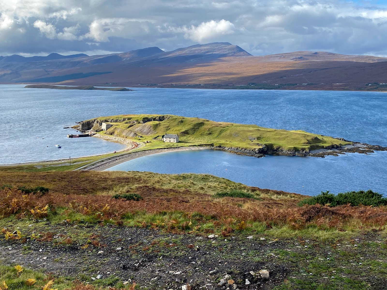
Photograph by Duncan Macpherson via Google
Maps from OpenFreeMap © OpenMapTiles, data © OpenStreetMap contributors; heights from Mapzen's terrain tiles.