
Rhynie – Up Tap o' Noth to the Hill Fort
About 2.6 miles on foot.
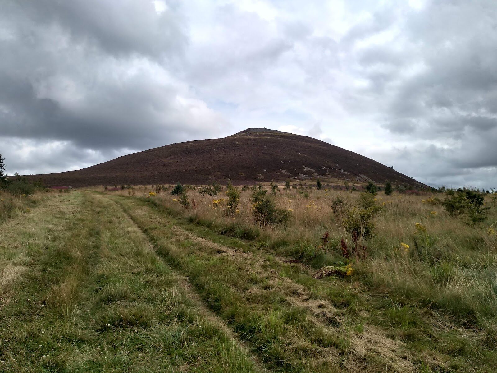
Tap o' Noth is the steep, round-topped hill above Rhynie, crowned by the tumbled stone ramparts of a hill fort.
A short, stiff climb from a small car park on the Dufftown road takes you to the top, 562 metres up, with the farmland round Rhynie spread out below. Afterwards, three carved Pictish stones wait by the old kirkyard in the village, in an area where an exceptional number have been found.
- Time
- Allow about two hours: about 4 km there and back on a steep path to the top, 562 m, with time at the fort. A short, steep hill.
- The path
- A track, then a steep, rough hill path; loose stone on the ramparts at the top. Boots.
- Where to start
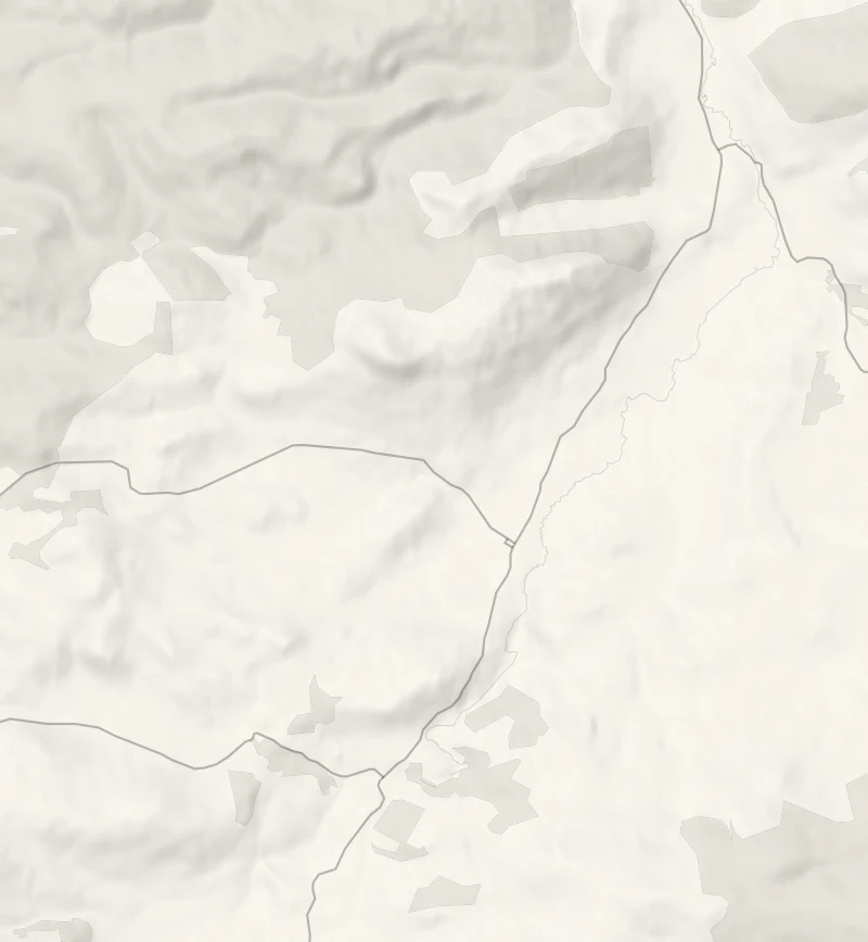
- A small car park at Brae of Scurdargue, on the A941 Dufftown road about 2.4 km north of Rhynie.
- Set off
- In daylight and clear weather; from November to February start up by 1pm.
- When to go
- All year in daylight; from November to February start up by 1pm, and leave the top for a clear day.
- Dogs
- Welcome under close control: on a short lead or close at heel near livestock and from April to August, when birds nest on the ground, and never into a field with young animals, as the Scottish Outdoor Access Code asks.
- Children
- A short but steep climb, with loose stone on the fort's ramparts: keep children close.
- Before you set out
- The stone on the ramparts is loose: keep children close, and turn back if cloud comes down on the top.
The walk
The walk starts from a small car park at Brae of Scurdargue, on the A941 Dufftown road about 2.4 km north of Rhynie. A steep footpath climbs from there to the top of Tap o' Noth, 562 metres up: about 4 km there and back, a track at first and then a rough hill path.
Allow about two hours with time at the top. The summit is ringed by the ramparts of a hill fort, long banks of tumbled stone, some of it fused by ancient fires, and the view runs out over the farmland round Rhynie to the hills beyond.
The path is steep and the stone underfoot is loose, so wear boots, keep children close on the ramparts, and turn back if cloud comes down on the top. From November to February start up by 1pm.
If it rains
The hill is open and steep with loose stone on top: in rain or low cloud, skip the climb and see the Pictish stones at the old kirkyard and the two in the village square, all outdoors.
Afterwards
5 min by car
Rhynie Pictish Stones
An attraction
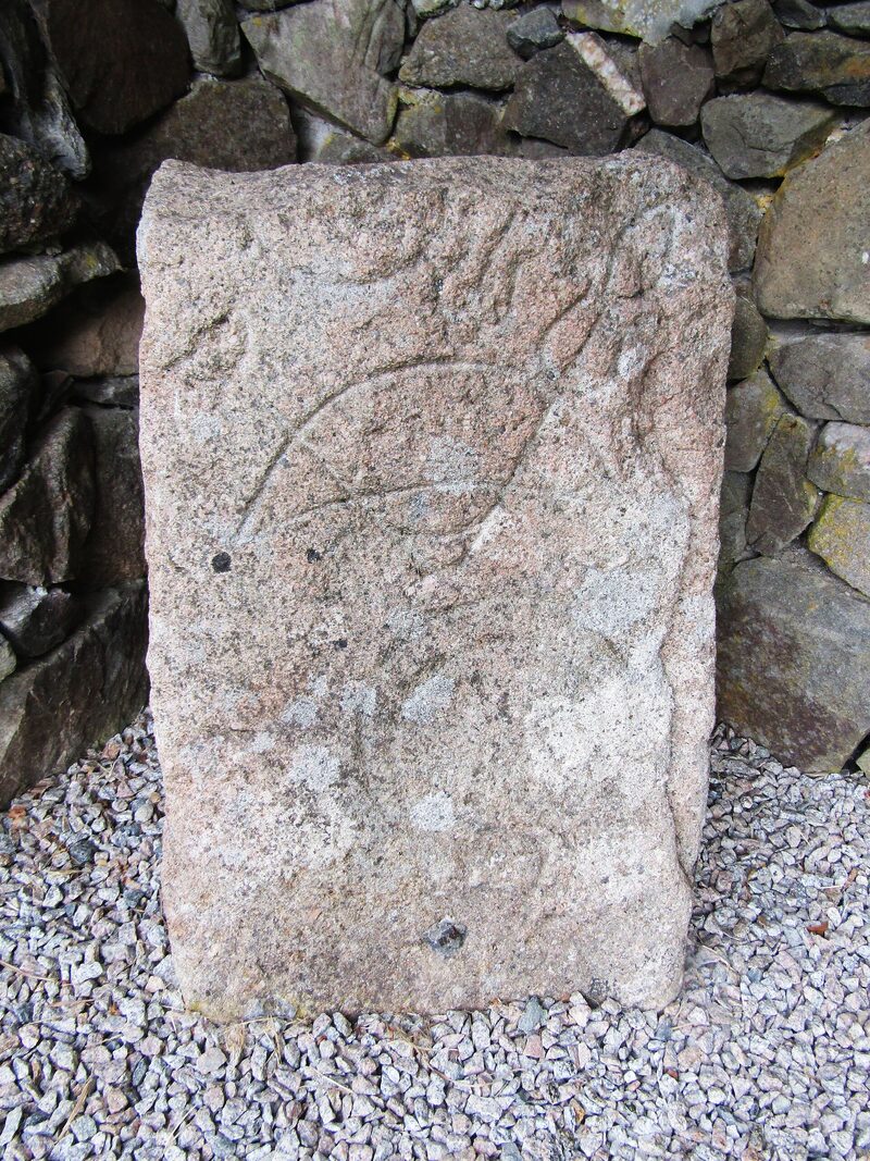
It's about 5 minutes' drive back down into Rhynie. At the south end of the village, turn east off the A97 onto the narrow lane that runs downhill to the old kirkyard; it isn't suitable for coaches. Three Pictish stones stand in a small enclosure in the kirkyard car park. The largest, a reused cup-marked slab, is carved with a beast's head, a double disc and Z-rod, a mirror and a comb, and the smallest, found in 1978, has a beast and another comb. An exceptional number of Pictish stones have been found around Rhynie, and two more, badly weathered, stand at the west end of the village square.
Before you go
Book accommodation nearby
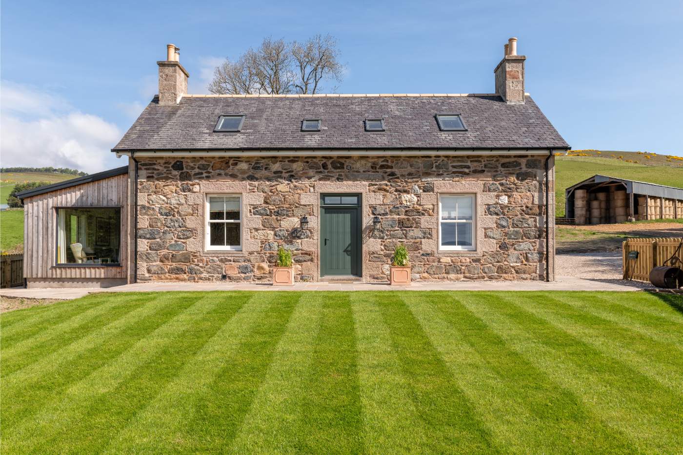
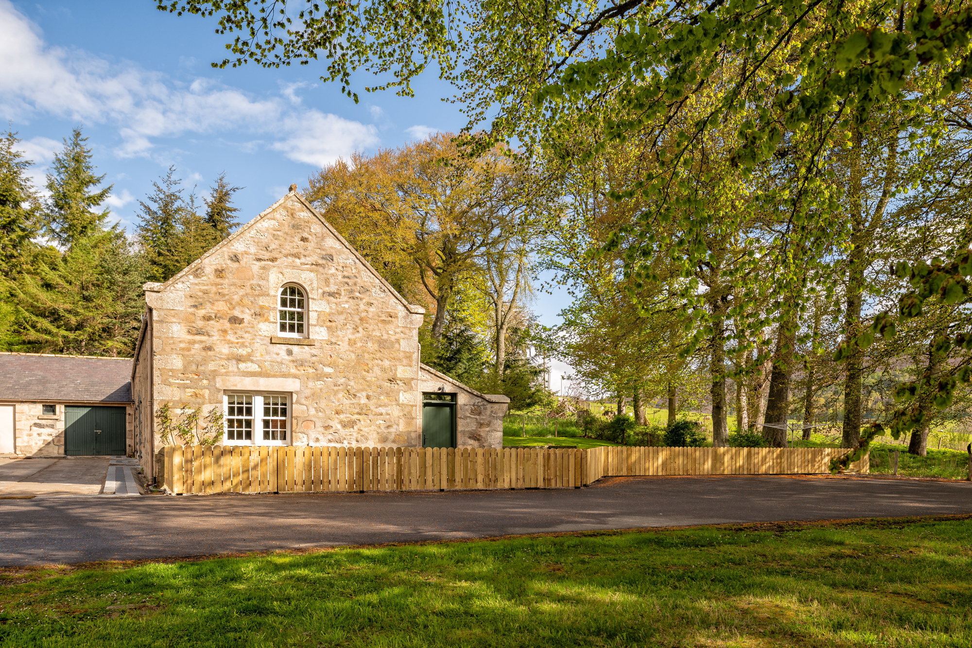
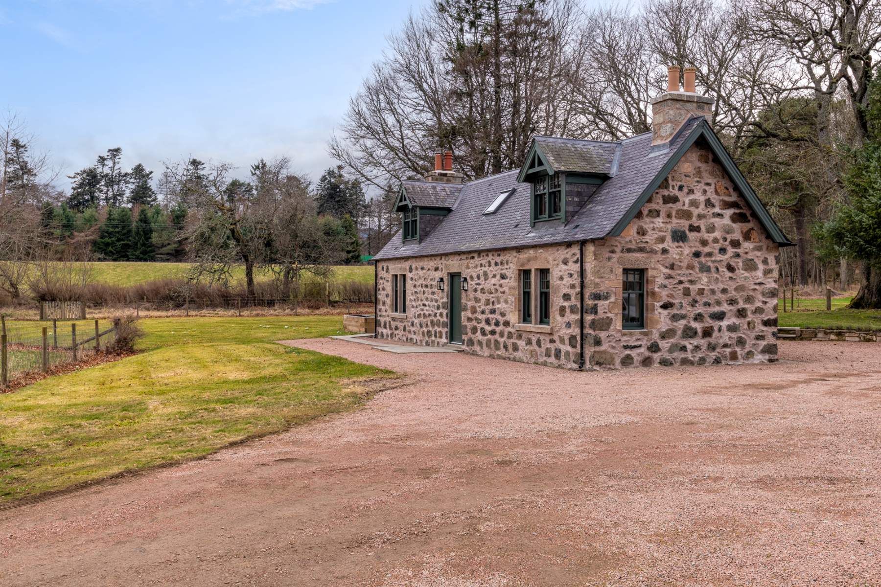
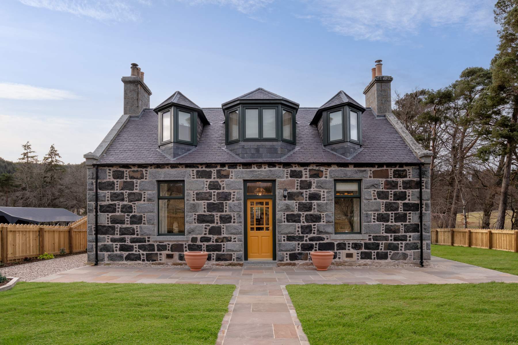
If you are staying over: here are ours nearest where the day starts and ends.
Make it a weekend
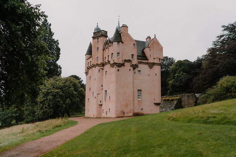
More days out in Aberdeenshire.
For further reading, before you go.
Photographs by Paul Stanford via Google; Colin Smith (CC BY-SA 2.0) via Wikimedia Commons