
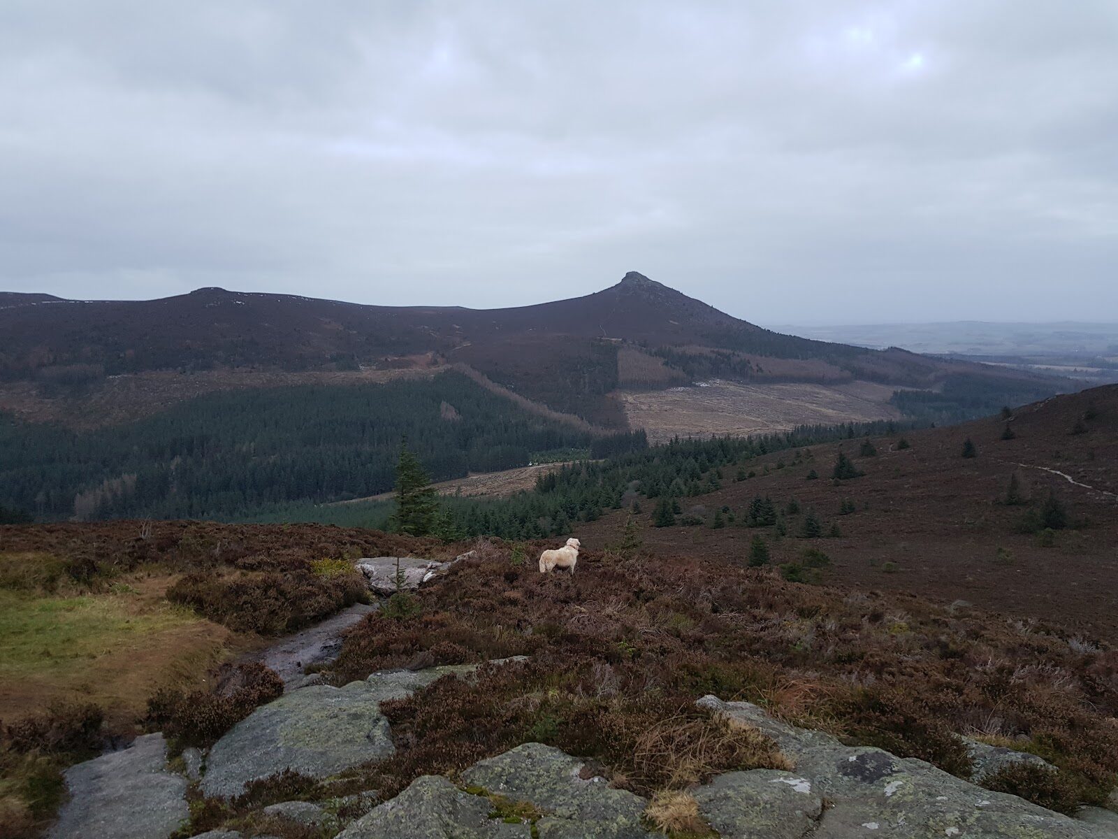
Bennachie – Up Millstone Hill from Donview
About 3.5 miles on foot.
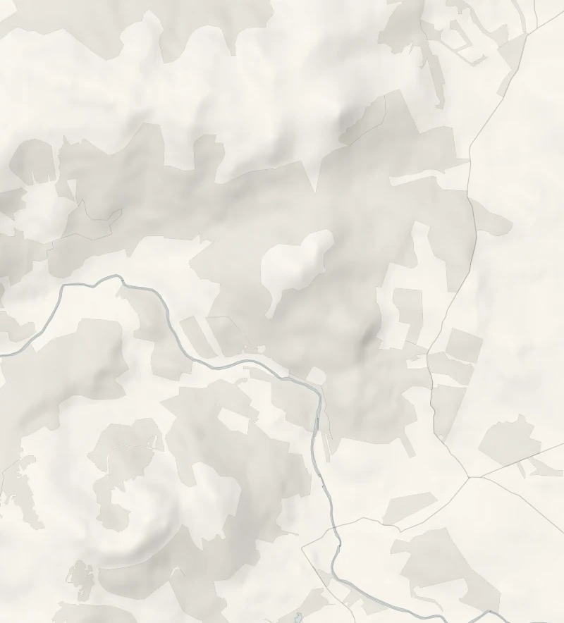
Millstone Hill is the top at the south end of Bennachie, and Forestry and Land Scotland's Millstone Hill Trail climbs it from Donview, through woods and out onto open heather.
From the top, 409 metres up, the whole bulk of Bennachie fills the view to the north and the River Don winds through farmland to the south. It's a short, steep hill walk for anyone fit and sure-footed, and for older children used to hills.
- Time
- About two and a half hours: Forestry and Land Scotland's Millstone Hill Trail, 5.6 km in all, a hill walk.
- The path
- Waymarked; very steep, rough and rocky, with large steps, roots and a narrow timber walkway; wet and muddy in places. Boots.
- Where to start
- Forestry and Land Scotland's Donview car park (nearest postcode AB51 7JE, grid reference NJ 672 189): £2 up to an hour, £2.50 up to three hours, £3 all day; coins, card or RingGo; Blue Badge holders free. A short, steep slope in from the road, hard going in ice.
- When to go
- All year in daylight; from November to February start by noon, and leave it for another day in ice or snow.
- Dogs
- Welcome under close control: on a short lead or close at heel near livestock and from April to August, when birds nest on the ground, and never into a field with young animals, as the Scottish Outdoor Access Code asks.
- Children
- A steep, rough hill trail: for older children used to hills.
- Toilets
- None at Donview: the nearest public toilets are at the Bennachie Visitor Centre and in Inverurie.
- Before you set out
- Windblown trees lie across parts of Bennachie's paths: go round them with care, never over or under. Ticks are about: check for them after the walk.
The walk
The walk starts at Forestry and Land Scotland's Donview car park, up a forest road off the minor road north of Monymusk, signed Donview Forest Walks (the nearest postcode is AB51 7JE). Parking is £2 for an hour, £2.50 for up to three hours or £3 for the day, by coins, card or RingGo, and free with a Blue Badge. The short, steep slope in from the road is hard going in ice, and there are no toilets here.
The Millstone Hill Trail is waymarked, 5.6 km in all, and Forestry and Land Scotland says to allow two and a half hours. It climbs through woodland onto open heather and the top of Millstone Hill. From there the main bulk of Bennachie and the granite cone of the Mither Tap fill the view to the north, and the River Don winds away to the south.
This is a hill walk, very steep, rough and rocky, with big steps, roots and a narrow timber walkway, and wet and muddy in places, so wear boots. Windblown trees still lie across parts of Bennachie's paths: go round them with care, never over or under. For a longer day, the Mither Tap Heather Brig route carries on across the valley to the Mither Tap, 9.6 km and about four hours there and back.
If it rains
Open hill with rock steps and a timber walkway that are slippery when wet: in rain or low cloud leave it for a drier day, or take the gentler Colony Trail from the Bennachie Centre on the hill's other side.
Before you go
Book accommodation nearby
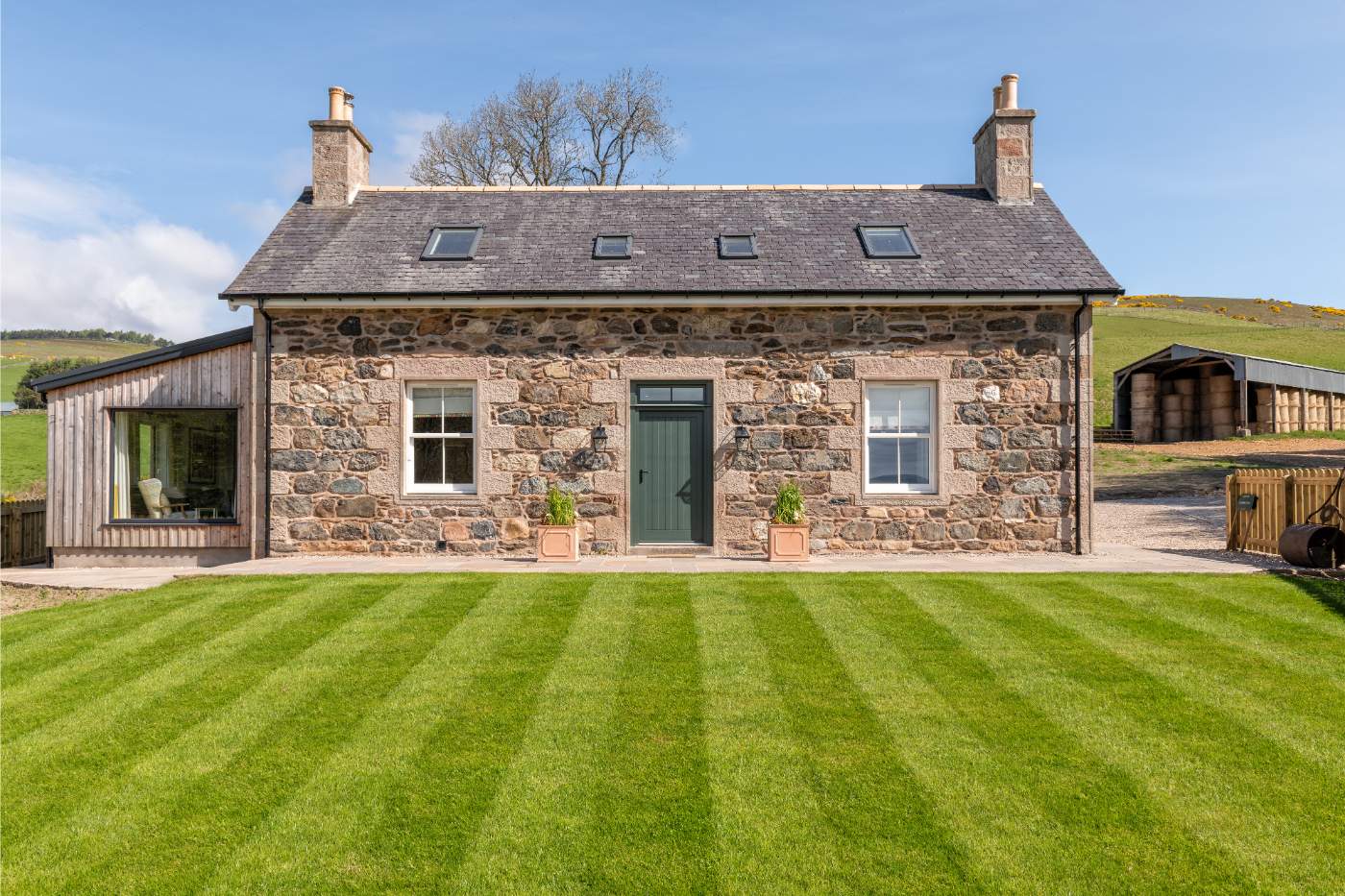
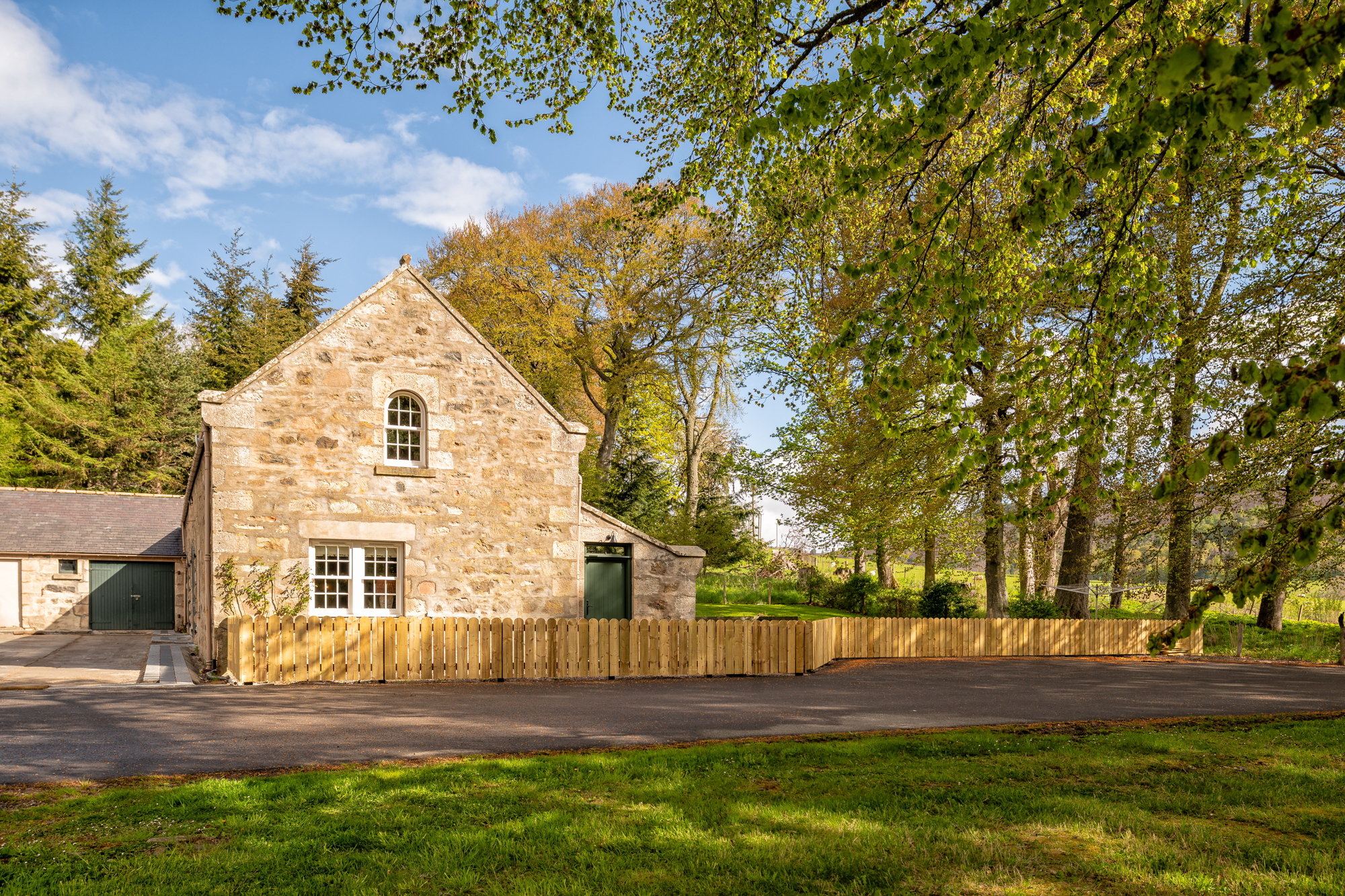
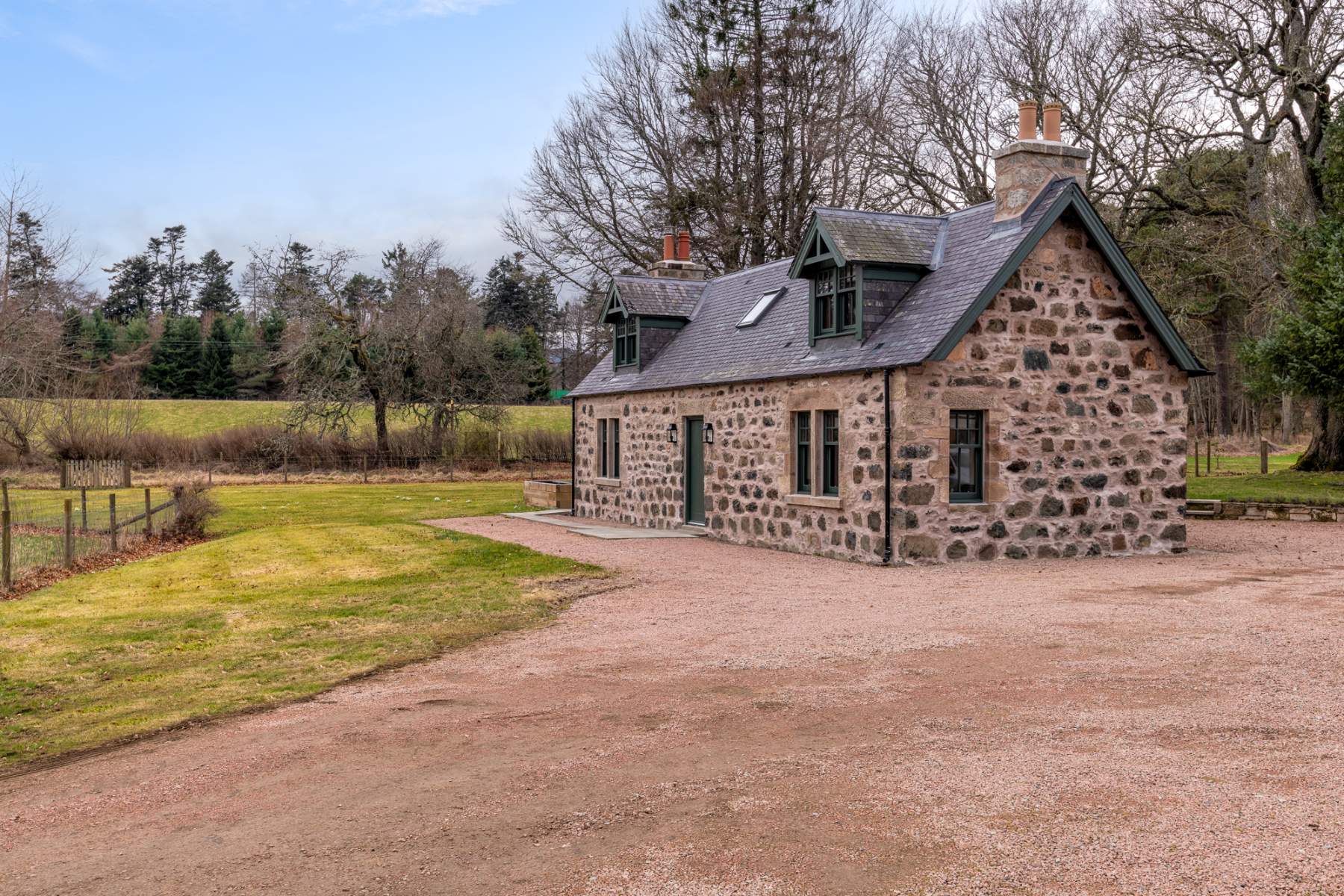
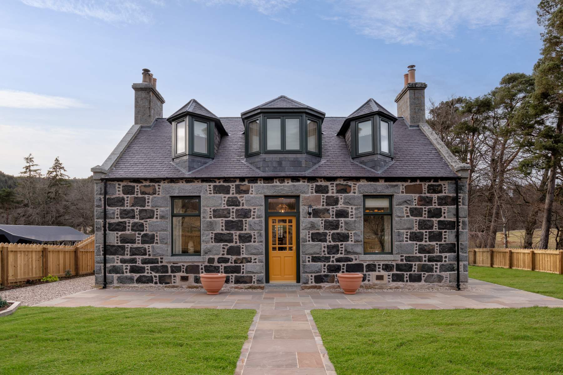
If you are staying over: here are ours nearest where the day starts and ends.
Make it a weekend
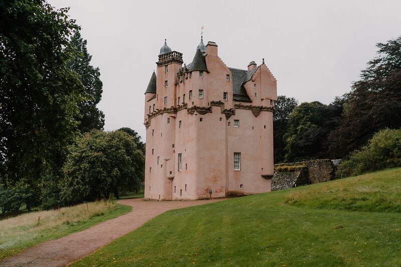
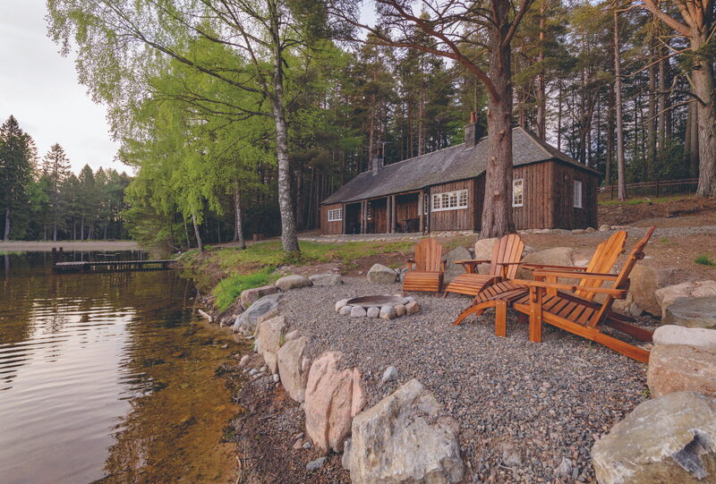
More days out in Aberdeenshire.
For further reading, before you go.
- Donview and the Millstone Hill Trail, Forestry and Land Scotlandforestryandland.gov.scot↗
- Donview's trails, Forestry and Land Scotlandforestryandland.gov.scot↗
- The Bennachie Centre's own sitebennachievisitorcentre.org.uk↗
- The route in detail, Walkhighlandswalkhighlands.co.uk↗
- Walkers' recordings and reviews, AllTrailsalltrails.com↗
Photograph by Zack Cain via Google