
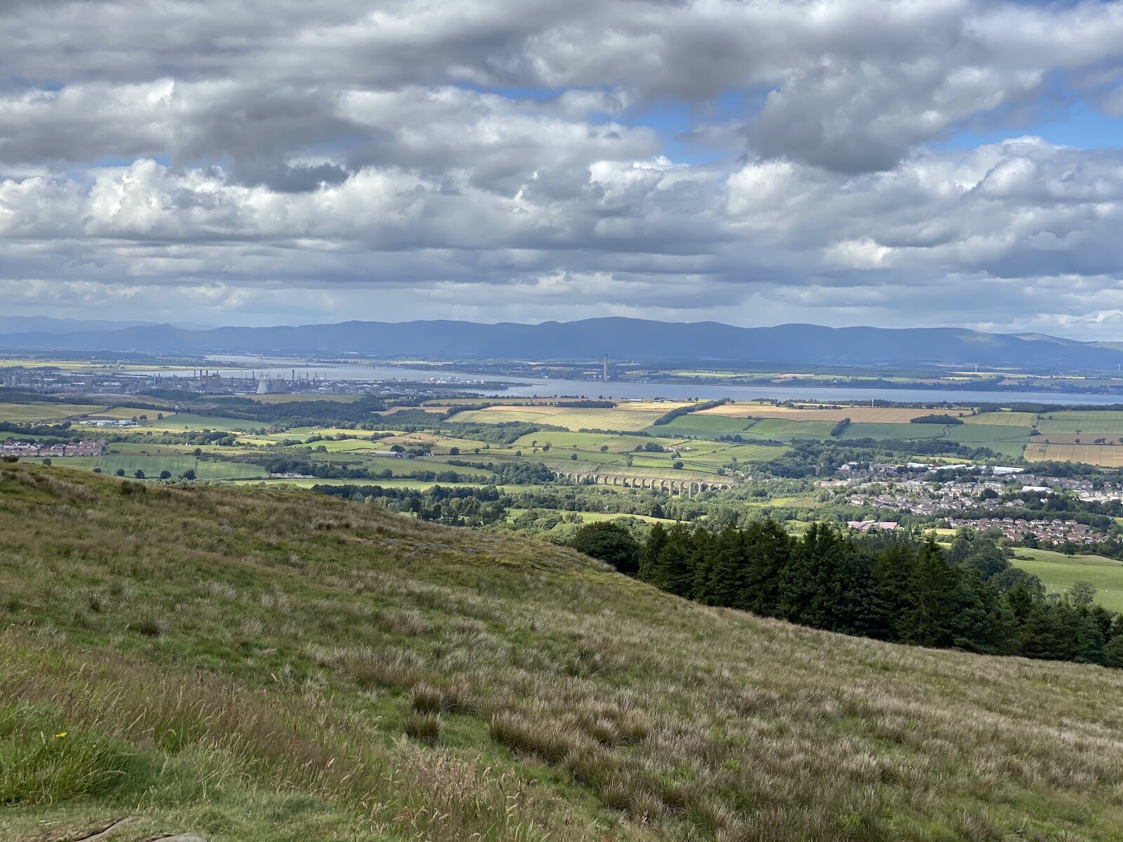
Cockleroy – A Small Hill with a Very Big View
4 miles · 2 to 2½ hours · a hill
free parking · dogs on a lead
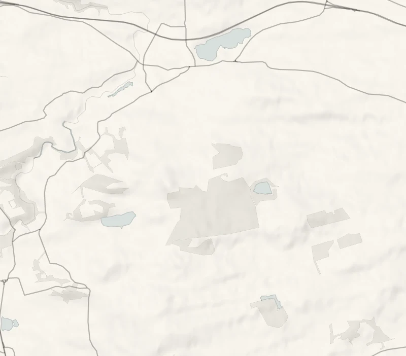
Beecraigs is a country park of conifer woods and a trout loch in the hills above Linlithgow, and just beyond its western edge is Cockleroy.
It's a small green hill, 278 metres high, and the view from its top is out of all proportion: the Forth, Linlithgow's loch and palace below, and the Ochils across the water. A round from the visitor centre links the park's woods with the summit.
Where it starts
At the Beecraigs Country Park visitor centre, south of Linlithgow.
Is it for me?
Tap who is coming, or the day you have, for the answer on this walk.
Before you go
Getting there
Free entry, and the council's list of charges has none for parking.
On the path
Two to two and a half hours: 6.75 km, or 4¼ miles, with 131 metres of climb, as Walkhighlands lists it. Well-made paths in the park, then a steep grassy path with steps to the summit. For children, a short, steep hill. The park has an animal attraction and an adventure play area on surfaced paths.
Good to know
All year in daylight. From November to January, set off by noon. Dogs on a lead on Cockleroy, which is private farmland. Cockleroy is private farmland outside the park: keep to the path.
The walk
This is a round from the Beecraigs Country Park visitor centre through the park's woods and out to the top of Cockleroy. Walkhighlands lists it as 6.75 km, or four and a quarter miles, with 131 metres of climb, and allows two to two and a half hours. The paths in the park are well made. The hill is climbed on a grassy path with steps near the top, and it's short but steep.
Beecraigs covers 370 hectares of the Bathgate Hills above Linlithgow. The council waymarks three routes in the park itself, of 3.8, 6.2 and 6.8 km, through the woods and round Beecraigs Loch, a reservoir that German prisoners of war built, and that gave the district its water for 55 years from 1918. The visitor centre has the Hideaway Café, but check its hours before counting on lunch. The park also has an animal attraction, with red deer and Highland cattle, and an adventure play area, both on surfaced paths, which makes this an easy one to share with children too small for the hill.
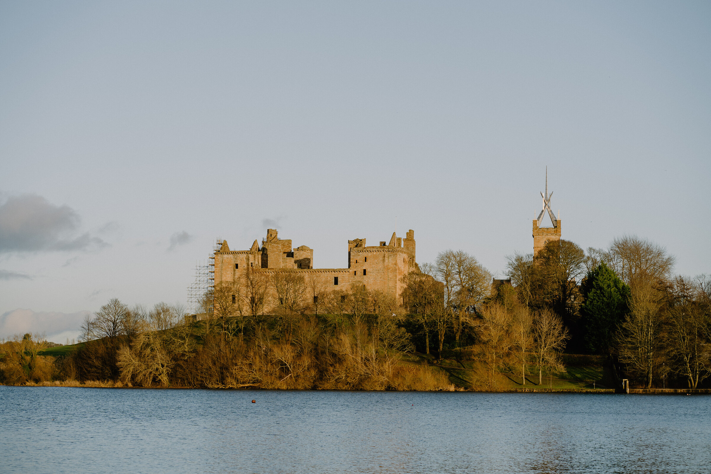
Cockleroy is a little further, just beyond the park's western edge. On the summit there's a trig point and a view indicator to name what you're looking at: Linlithgow Loch and the Palace, the Forth, and the Ochil Hills beyond. Linlithgow climbs it as the town's own hill, and traces of an Iron Age fort survive on the summit. Cockleroy is private farmland outside the park, so keep to the path and keep dogs on a lead there.
If it rains
The park's surfaced paths under the trees are fine in the rain. The grass path up Cockleroy is steep and slippery when wet, and there's no view in low cloud, so keep the hill for a clear day.
After the walk
Something to do with the rest of the day, nearest the end of the walk first.
With the rest of the day
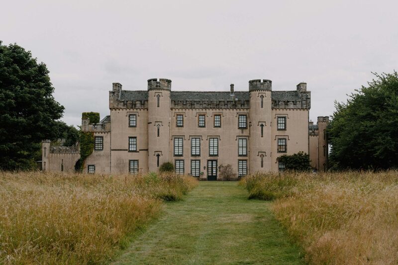 11 min by roadThings to doHouse of the BinnsThe 17th-century home of the Dalyell family near Linlithgow, with plaster ceilings made for Charles the First, parkland over the Forth and a tower on the hill.
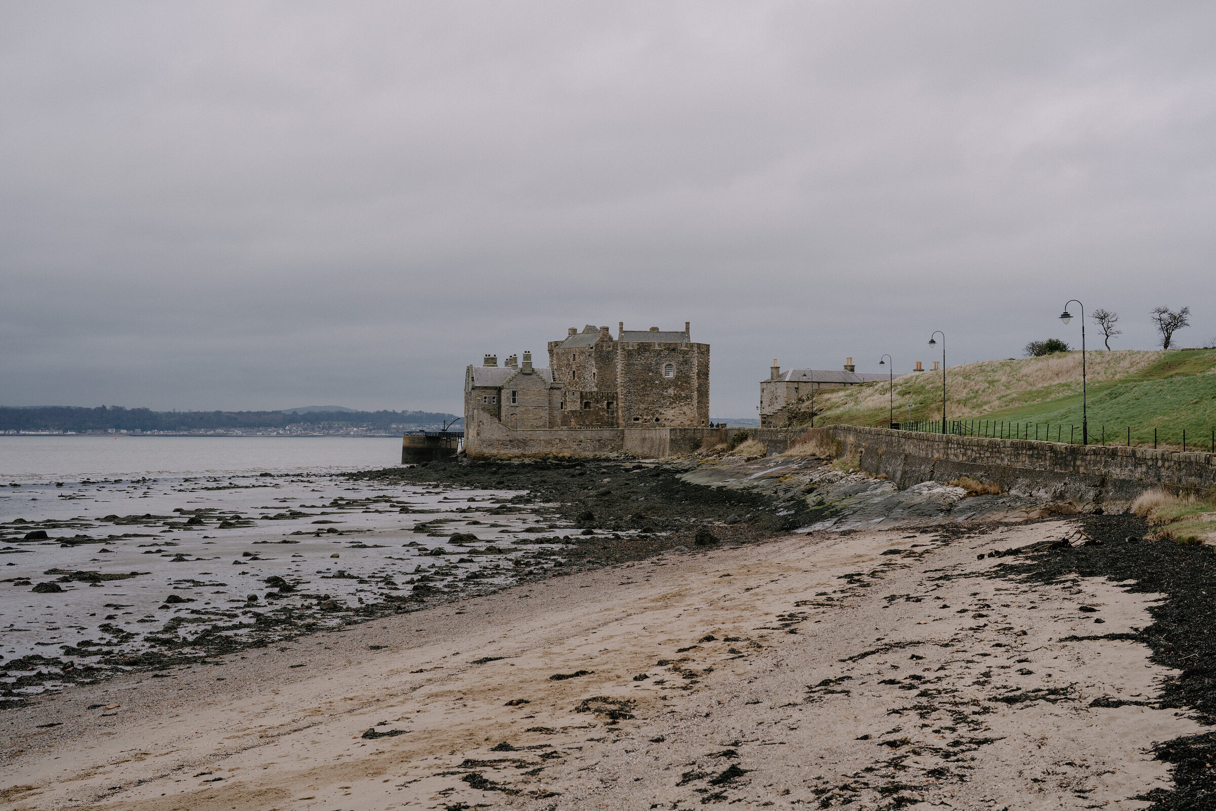
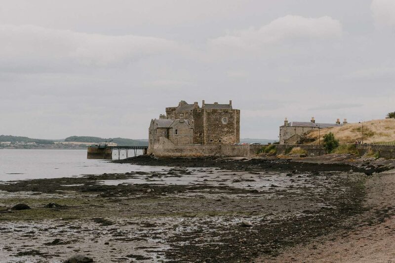 11 min by roadThings to doBlackness CastleA 15th-century castle on the shore of the Forth, built like a stone ship run aground, later a garrison fortress and state prison.
 12 min by roadThings to doInkspot & SilverleafAn independent bookshop in Bo'ness, open since 2008 and twice named one of Britain's top 50 bookshops by The Independent.
Places to stay near the walk
Our places to stay nearest the start, by road.
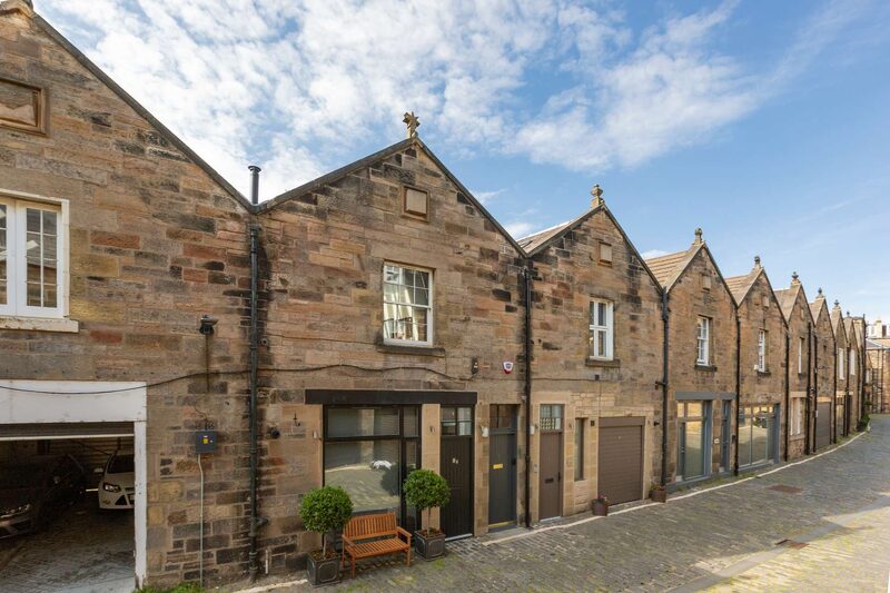
None of ours is close to the start. The nearest is West End Muse, 20 miles from the start. Sleeps 4. An advert.

Then Clermount Cottage in Penicuik, 27 miles from the start. Sleeps 2. An advert.
More walks near here
Within a short drive of the start.
Did this walk?
Tell the next person how it went. The best go on this page, with your name.
For further reading, before you go.
Photograph by Pablo Savva via Google
Maps from OpenFreeMap © OpenMapTiles, data © OpenStreetMap contributors; heights from Mapzen's terrain tiles.