
Glen Truim – A Waterfall and the Middle of Scotland
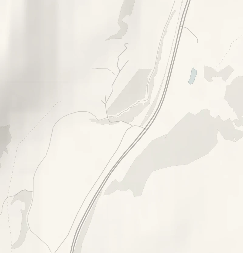
Glen Truim lies just off the A9 between Dalwhinnie and Newtonmore.
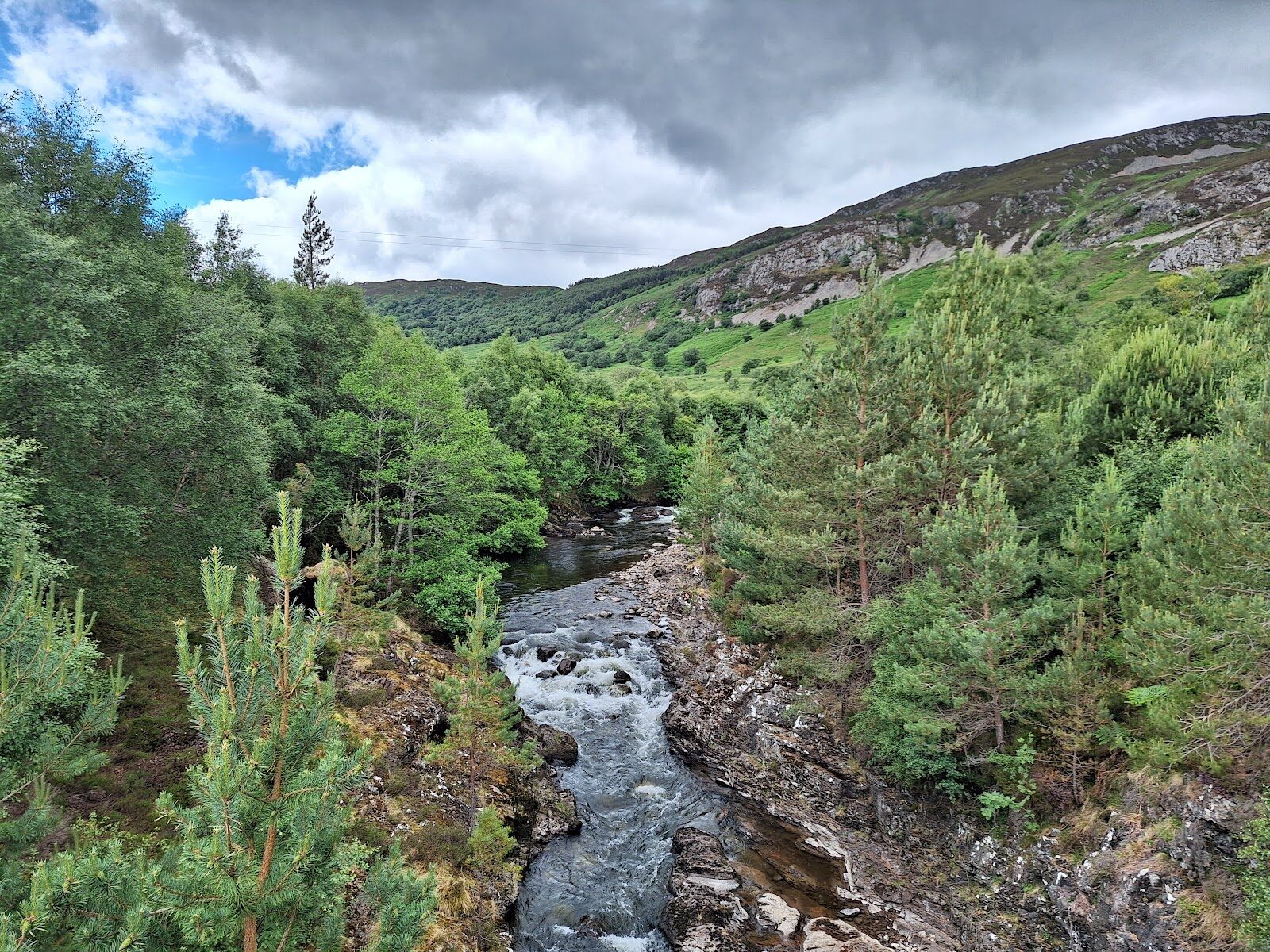
Two short walks sit six minutes' drive apart on its back roads. One is a path above the river to the Falls of Truim, where the water pours through a rocky gorge among the pines. The other is a forest loop that starts beside a great boulder set up to mark the centre of the Scottish mainland. Together they fill about two and a half hours.
- Time
- About half an hour: the National Park's Falls of Truim path, 1 km there and back from the Falls car park. A short walk on a rough path.
- The path
- A moderate path with narrow parts where it crosses the rocks and rough ground above the river.
- Where to start
- The Falls car park on the minor road off the A9 signed Crubenmore and Dalwhinnie; small, gravel, free.
- Set off
- From November to January, be at the falls by 1pm to finish both walks in daylight.
- When to go
- All year in daylight; the falls are fullest after rain. From November to January be at the falls by 1pm.
- Dogs
- Under close control: cattle may be in the fields and woods. Follow any signs.
- Children
- A short walk, but beside an unfenced drop to fast water: hold on to small children.
- Toilets
- None in the glen; free public toilets in Newtonmore, beside the Wildcat Centre on Main Street.
- Before you set out
- No fence above the river: keep well back from the steep drop. Cattle may be in the fields and woods.
The walk
The Falls car park is on the minor road that leaves the A9 at the sign for Crubenmore and Dalwhinnie, between Dalwhinnie and Newtonmore. It's a small gravel car park and it's free, with boards about the river and the Pass of Drumochter. There are no toilets.
The Cairngorms National Park gives the walk to the falls as 1 km there and back and allows half an hour. An old stone bridge spans the river near the start, and the path keeps above the River Truim as it pours through a narrow gorge of pale rock, with Scots pine and birch on both banks and bare hills behind. The path is narrow and rough where it crosses the rocks, and nothing stands between you and the drop to the river, so keep well back from the edge and hold on to small children.
The falls are at their fullest a day or two after rain. Cattle may be in the fields and woods, so keep dogs under close control and do as any signs ask. From November to January, start here by 1pm to fit both walks into daylight.
If it rains
The rocks above the falls are slippery when wet, so stand further back still in rain. The forest loop is on firm gravel and walks well in a shower.
Afterwards
About 5 min by car
Centre of Scotland stone
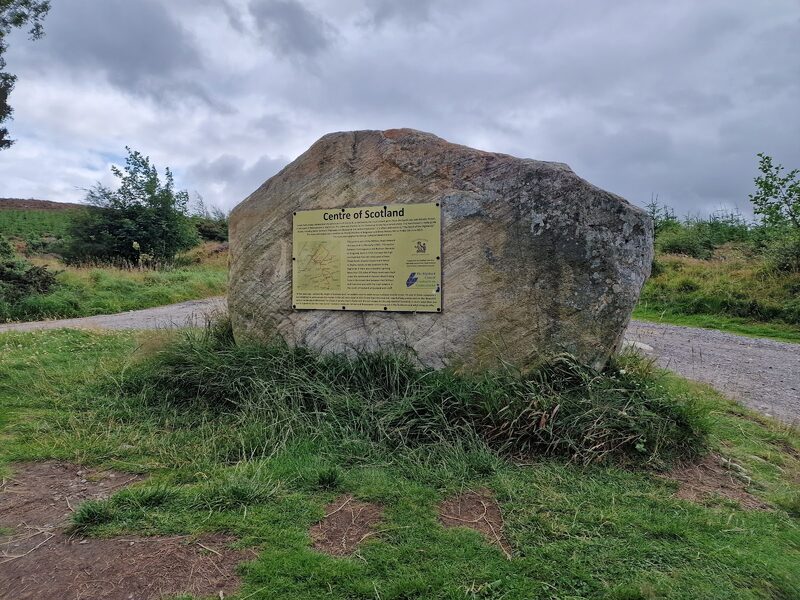
The second walk starts at the Macpherson memorial, a stone cairn at the top of the hill on the Glentruim road to Catlodge, about three miles and six minutes' drive from the falls. Park beside it. The Centre of Scotland stone is a few steps away, where a forest track meets the road. It's a big boulder with a plaque, set up to mark the centre of the Scottish mainland, the point said to be farthest from the sea. From the cairn the view runs down the valley to the hills beyond. The National Park's Glentruim Forest Loop starts behind the stone, a waymarked round of 2.5 km, and the park allows an hour and a half for it. It's a firm gravel track with gentle and moderately steep slopes and a few muddy patches, and part of it is on the quiet public road. A steeper spur climbs to Creagan an Fhithich for a wider view, 1.6 km there and back and another hour. Cattle may be in the woods, so keep dogs under close control.
Before you go
Book accommodation nearby
If you are staying over: here are ours nearest where the day starts and ends.
For further reading, before you go.
Photographs by neil hedley and Vicky Dunbar via Google