
Melvich – Golden Sand Where the Halladale Meets the Sea
¾ mile · 45 minutes · a loop
free parking · dogs welcome
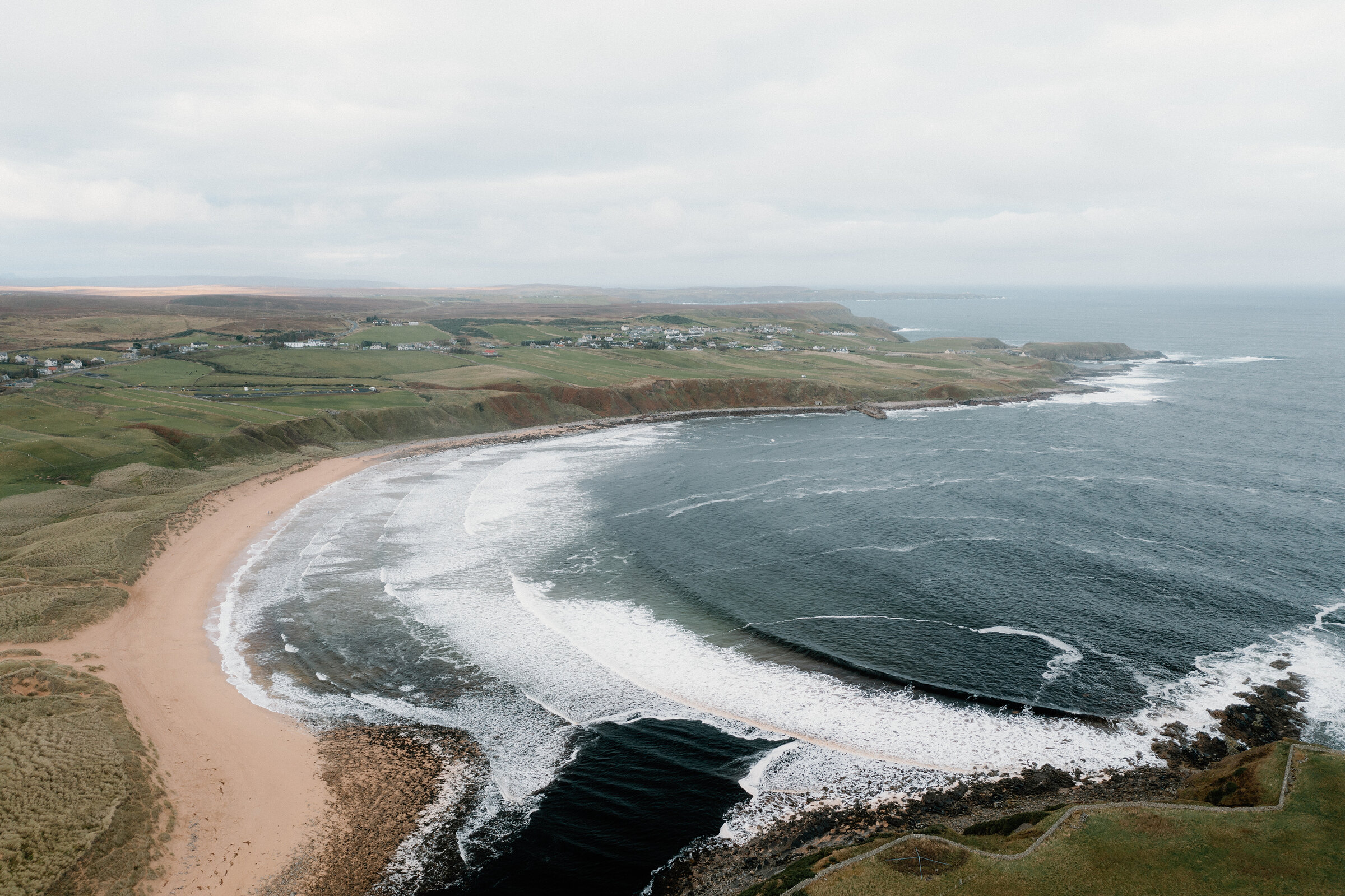
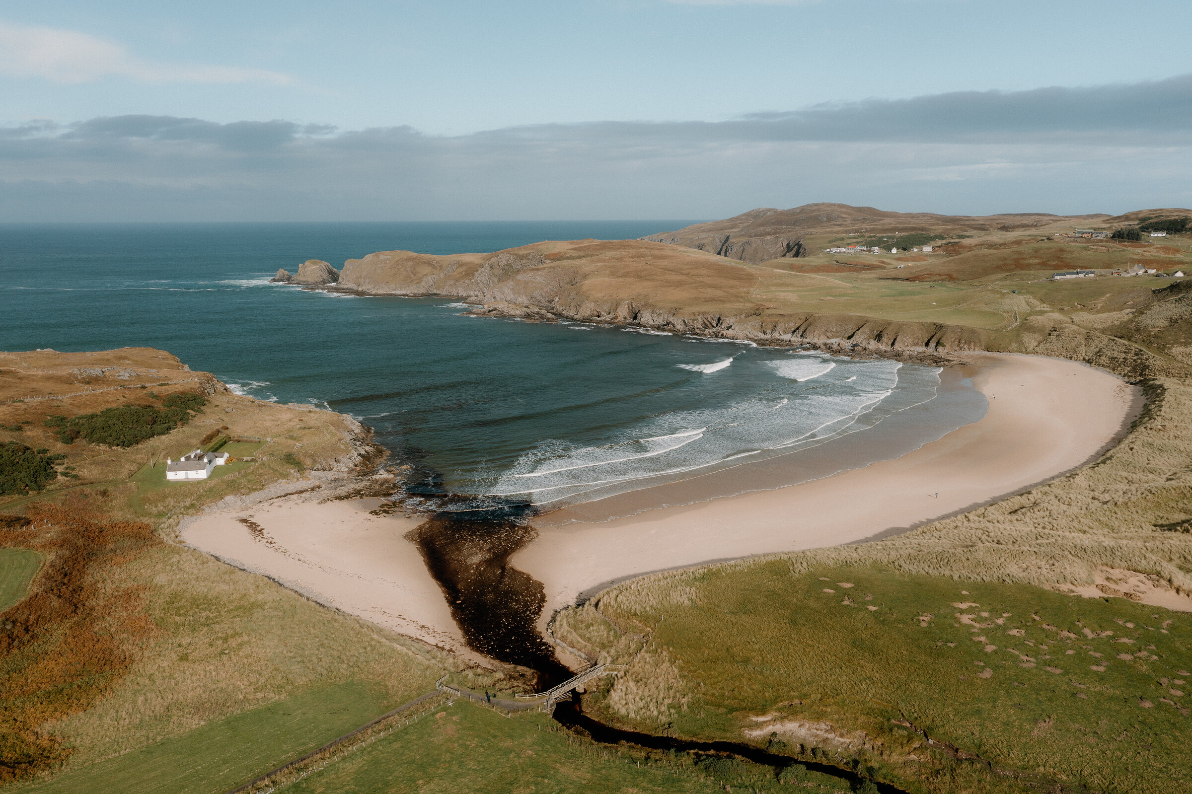
The Halladale River reaches the north coast at Melvich, running out across one end of a wide golden beach.
A short loop through the dunes takes in the sand and the river bank, with the beach five minutes from the car park. There's little to plan beyond the weather and the tide.
Where it starts
Start at the small car park at the end of the signed gravel track off the A836 in Melvich.
Is it for me?
Tap who is coming, or the day you have, for the answer on this walk.
Before you go
Getting there
Free. If the track's gate is locked, park in the village and walk down.
On the path
About 45 minutes: a loop of 1.75 km, just over a mile, on the level. Sandy paths through dunes, then the beach. A broad sandy beach. Keep children well away from the river mouth, where there are rip currents. The map to carry is OS Explorer 449, Strath Halladale & Strathy Point (1:25,000).
Good to know
All year in daylight. In spring and summer keep to the paths through the dunes, where Arctic terns nest. Dogs kept close in spring and summer, when terns nest in the dunes. The track crosses croft land with livestock. None at the beach: the public toilets are in Melvich village. Rip currents where the river meets the sea. Arctic terns nest in and around the dunes in spring and summer. The gate on the track has at times been kept locked to cars.
The walk
Melvich Beach has a small car park of its own, at the end of a signed gravel track that leaves the A836 in the village and runs gently down to it over two cattle grids. Scotland Off the Beaten Track puts the sand five minutes north of the car park, by a path through the marram dunes. A second, slightly longer path goes east to the bank of the Halladale River and comes down to the beach beside the water, and the two together make a loop: out through the dunes, east along the sand to the river mouth and back up the river bank. No source gives the loop a length or a time; on our map it comes to roughly three-quarters of a mile, a little up and down and mostly on sand.
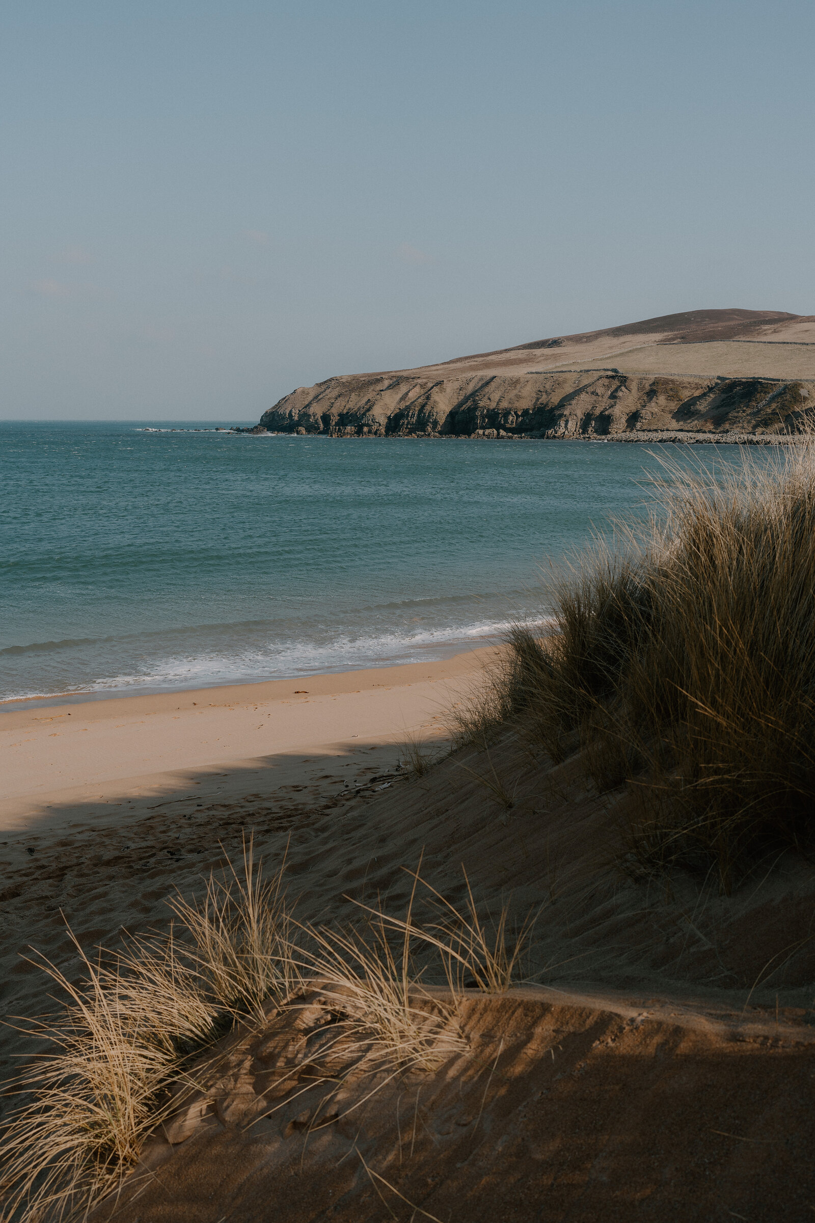
The beach is a wide curve of golden sand, closed by the pier at Portskerra to the west and the cliffs below Rubha an Tuir to the east. The river runs out at its east end, past Bighouse Lodge on the far bank, a private sporting lodge. The footbridge over the river by the lodge is not a public way, so the walk never crosses the river or its channel on the sand: look across, and come back by the bank. When the tide is in, keep to the dune and river-bank paths, and never wade.
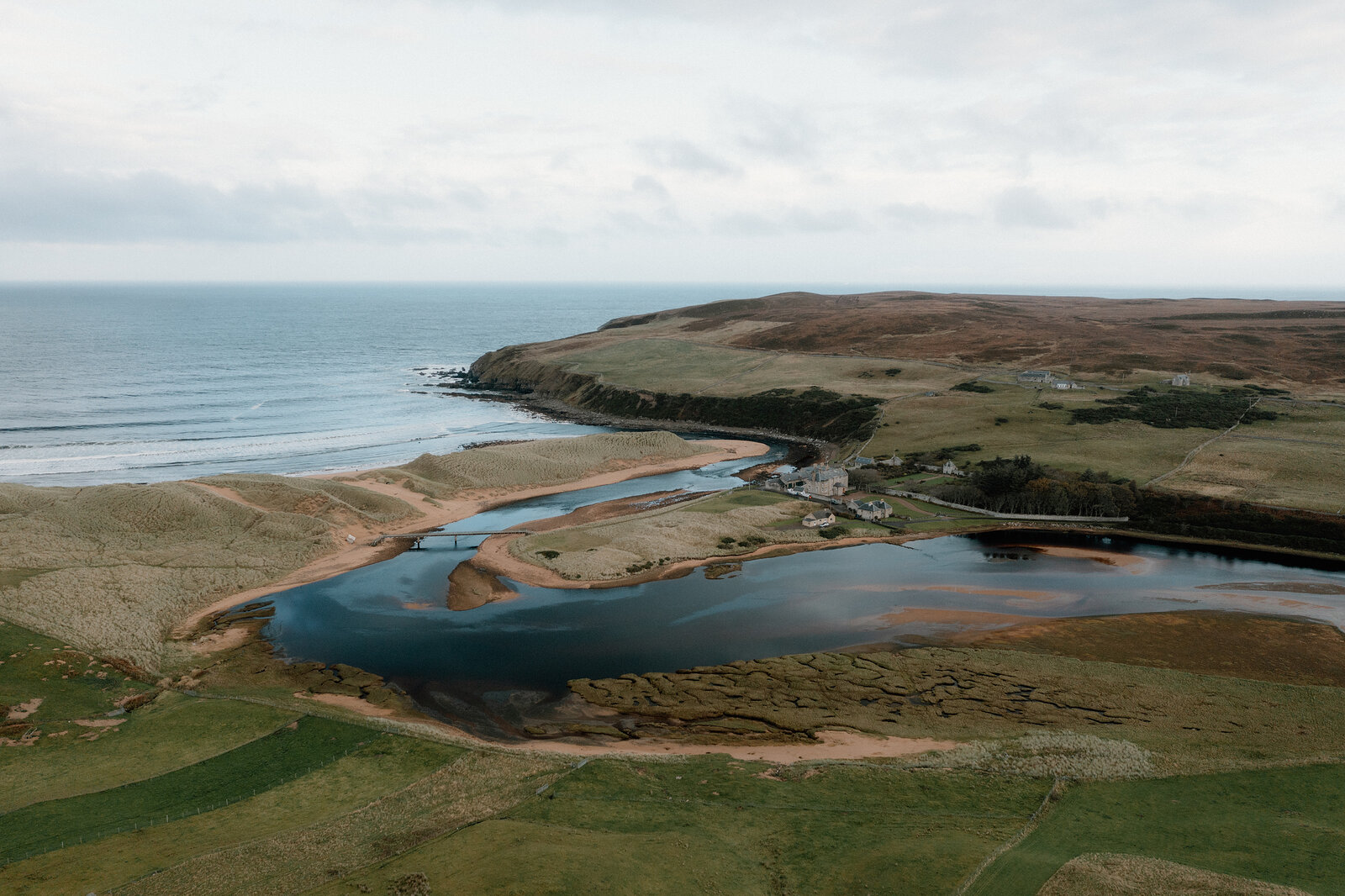
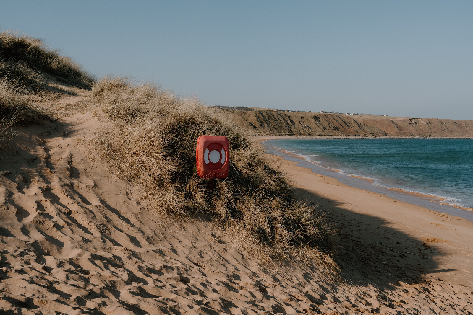
Salmon sometimes jump at the river mouth, and seals put their heads up beyond the surf. It's a surfers' beach, and Venture North warns of rip currents in the bay, so keep out of the surf and well clear of the river mouth. Arctic terns nest in and around the dunes in spring and summer: keep to the paths then, and keep dogs close. The public toilets, the shop and the Halladale Inn are up in the village; the Highland Council lists the toilets with no disabled access and no baby changing.
If it rains
There's no shelter on the beach or in the dunes, and a north wind comes straight in off the sea. It's a short walk, so wait for a gap between showers.
After the walk
Coffee and cake, something to do with the rest of the day, and dinner, nearest the end of the walk first.
Straight after
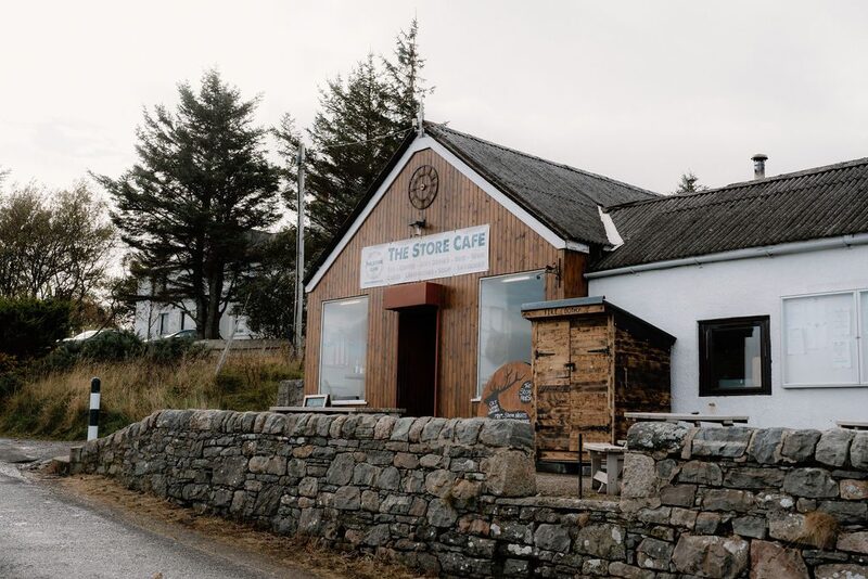 20 min by roadA caféThe Store Bistro & BarBettyhill's old village store, now a café, bistro and bar, its original shelves still in place, with breakfasts, home baking and a log burner.
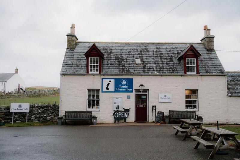 20 min by roadA caféBettyhill Tourist Information & CafeA whitewashed cottage on the A836 in Bettyhill, home to the village's tourist information point and a small café, with benches and picnic tables out front.
With the rest of the day
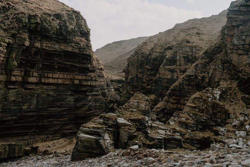 5 min by roadThings to doDrumhollistanA wild stretch of coast on the Caithness and Sutherland border, where deep geos cut between striped cliffs and puffins nest on the Cletts in summer.
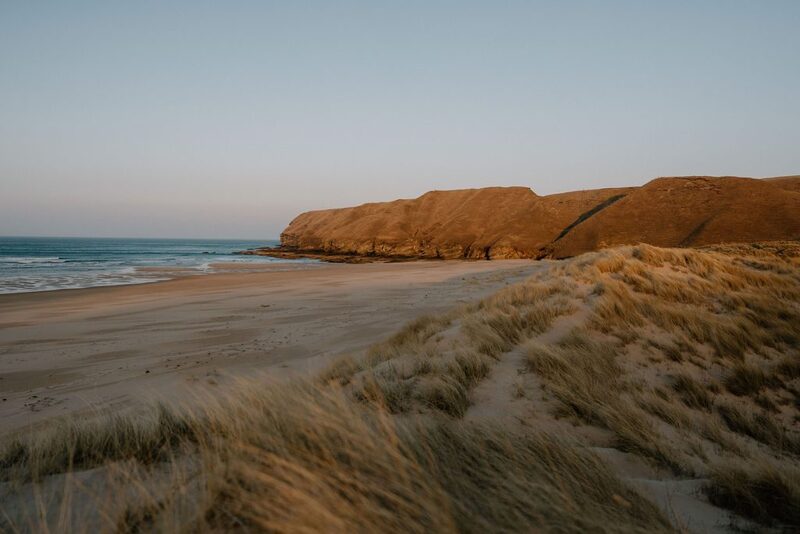 7 min by roadThings to doStrathy BeachA sandy bay at the mouth of the River Strathy on the north coast, reached by a path through the dunes, with cliffs, caves and sea stacks along its eastern side.10 min by roadThings to doReay Golf ClubAn 18-hole links on Sandside Bay with James Braid in its past, 11 miles west of Thurso and the most northerly 18-hole links on the British mainland.
For dinner
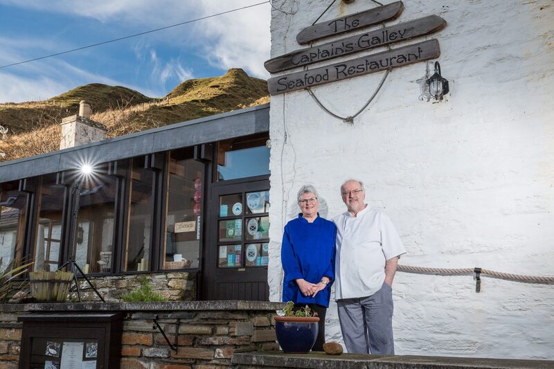
The Galley, Scrabster in Scrabster, 29 minutes by road. A seafood restaurant in an old ice house on the harbour at Scrabster, cooking fish landed at the port, with a vaulted stone dining room.
Places to stay near the walk
Our places to stay nearest the start, by road.
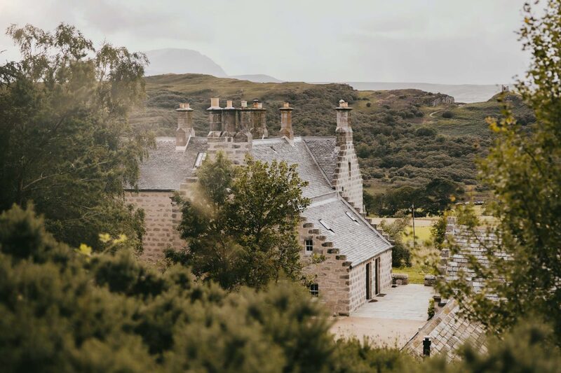
None of ours is close to the start. The nearest is Lundies House in Tongue, 26 miles from the start. An advert.
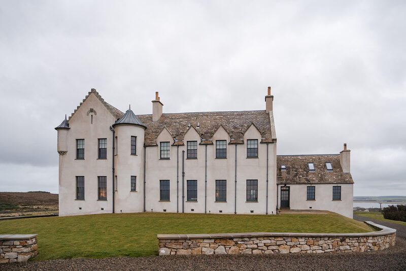
Then House of the Northern Gate in Dunnet, 26 miles from the start. Sleeps 18. An advert.
More walks near here
Within a short drive of the start.
Did this walk?
Tell the next person how it went. The best go on this page, with your name.
For further reading, before you go.
Maps from OpenFreeMap © OpenMapTiles, data © OpenStreetMap contributors; heights from Mapzen's terrain tiles.