
Glenan Wood – A Walk to the Lost Village by Loch Fyne
2½ miles · 1 to 1½ hours
dogs on a lead
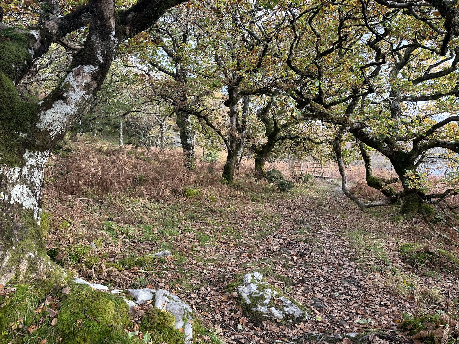
Glenan Wood is a community-owned patch of Atlantic rainforest on Loch Fyne, beside Portavadie.
A waymarked path winds through old, twisted oaks to Glenan Bay, and a climb beyond finds the roofless houses of an old township. Lunch follows at the marina.
Where it starts
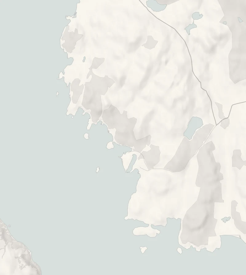
Start at the Glenan Forest Trail car park at Lub na Faochaige, by the road to the Portavadie ferry terminal.
Is it for me?
Tap who is coming, or the day you have, for the answer on this walk.
Before you go
On the path
An hour to an hour and a half for the waymarked loop to Glenan Bay and back; more with the climb to Glenan village. Woodland and shore paths, with a climb to the village.
Good to know
All year, in daylight. Mid-morning, with lunch at Portavadie to follow. Dogs are welcome on a lead or close at heel; pick up after them. The village ruins are hidden by bracken in summer and clear once it dies back for the winter.
The walk
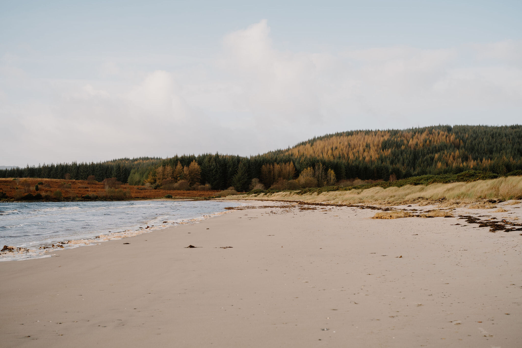
The walk is a loop of about 2.6 miles (4.2 km) from the edge of Glenan Wood by the Portavadie ferry road: along the shore of Loch Fyne to Glenan Bay, up to the lost village and back through the trees. Allow about two hours; the loop to the bay alone takes an hour to an hour and a half. The paths are earth, rocky in short stretches along the shore and often wet and boggy, so wear boots or wellies.
The wood is Atlantic oakwood, where trees have probably grown since the last Ice Age, and parts of it appear on maps of 1750 and 1860. Look at the bark of the old oaks and the boulders beneath them, where lichens, mosses and ferns grow. Forestry and Land Scotland agreed in 2019 to sell the wood to the Friends of Glenan Wood, who look after it now.
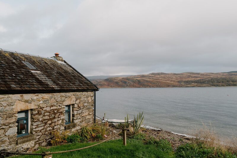
The shore path comes to Glenan Bay. The cottage by the bay is a private home; on the hillside above it are ruins that may have been a chapel.
From the bay a path climbs on to the old village of Glenan, its houses grouped tightly on a knoll over the West Glenan Burn. Glenan is said to appear in records as early as 1309. A map of Argyll marks the township in 1801, and the first Ordnance Survey map, of 1870, shows four of its buildings still roofed and two already open to the sky. Trees now rise from inside the old houses, their stones covered in moss and lichen. In summer the bracken all but hides the ruins; from winter into spring, with last year's bracken lying flat, they stand clear.
The forest path, higher on the slope, brings you back through the oaks. The ferry's waiting area, a short walk down the road from the start, has toilets, accessible ones included; CalMac gives no hours for it, so check on the day. Lunch comes after, at the Marina Restaurant and Bar in Portavadie.
If it rains
In a downpour, keep to the shorter loop to Glenan Bay and back, or go straight to lunch at Portavadie.
Afterwards
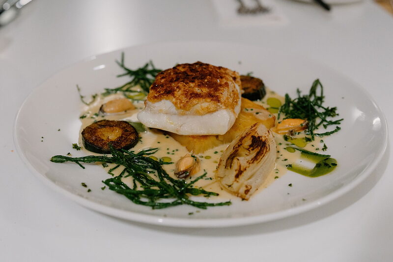
The Marina Restaurant and Bar, Portavadie
Lunch
Portavadie is just along the road from the car park. The Marina Restaurant and Bar looks out over the boats in the marina through walls of glass. Lunch might be the twice-baked smoked haddock and cheddar soufflé, the potato gnocchi or roast monkfish, with sticky toffee pudding to finish, and there are coffees and hot chocolate for anyone who only wants to warm up.
Before you go
Book lunch at The Marina Restaurant and Bar, Portavadie
Book a table for lunch at The Marina Restaurant and Bar, Portavadie, on its website or on 01700 800535; booking ahead is highly recommended.
After the walk
Coffee and cake, and something to do with the rest of the day, nearest the end of the walk first.
Straight after
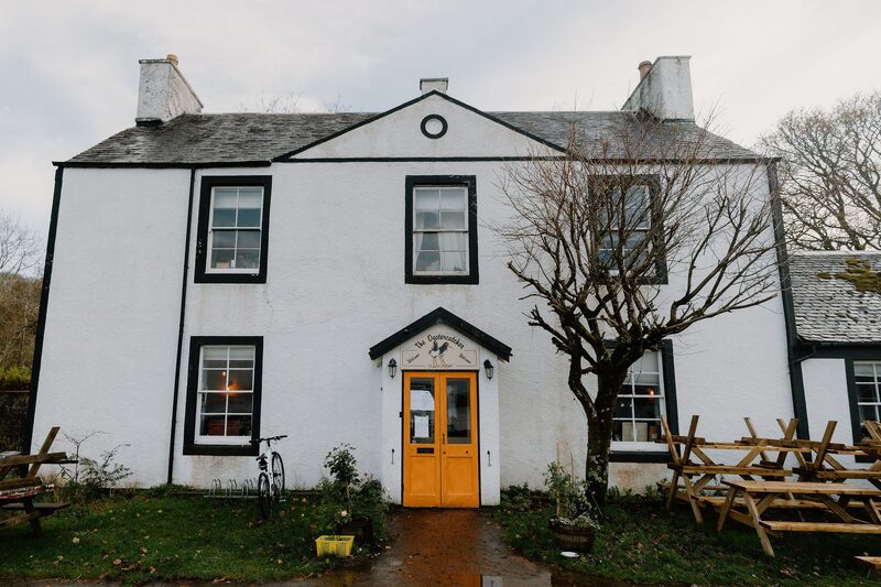
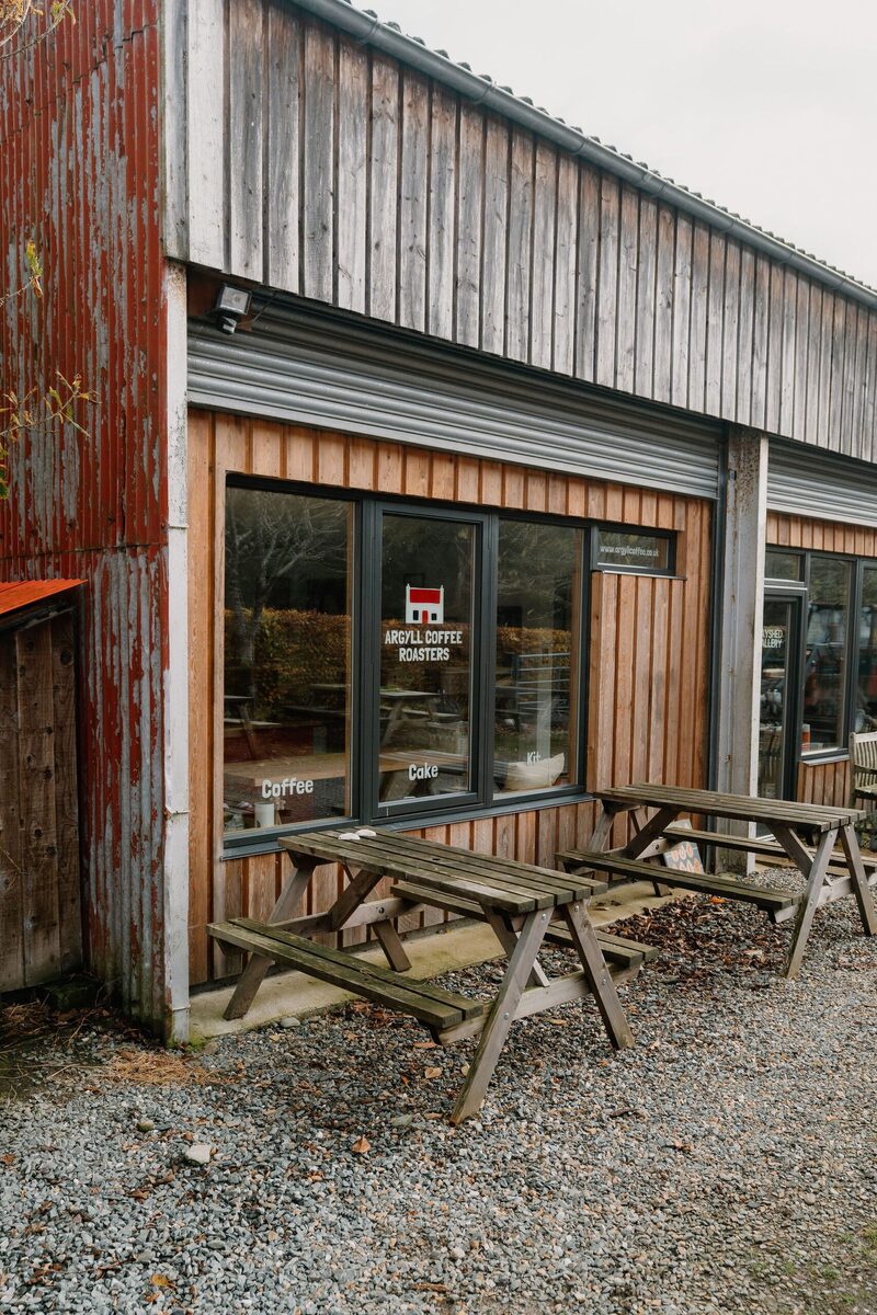
Places to stay near the walk
Our places to stay nearest the start, by road.
An advert · Tighnabruaich
The Hollies
A Victorian sandstone house on the shore at Tighnabruaich, let whole for up to 18, with every bedroom named after a Scottish band of the '80s.
Sleeps 18 · 9 minutes by road
See The Hollies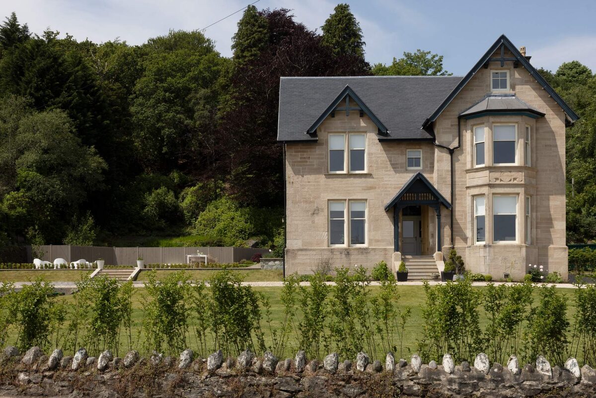
More walks near here
Within a short drive of the start.
Did this walk?
Tell the next person how it went. The best go on this page, with your name.
For further reading, before you go.
Maps from OpenFreeMap © OpenMapTiles, data © OpenStreetMap contributors; heights from Mapzen's terrain tiles.