
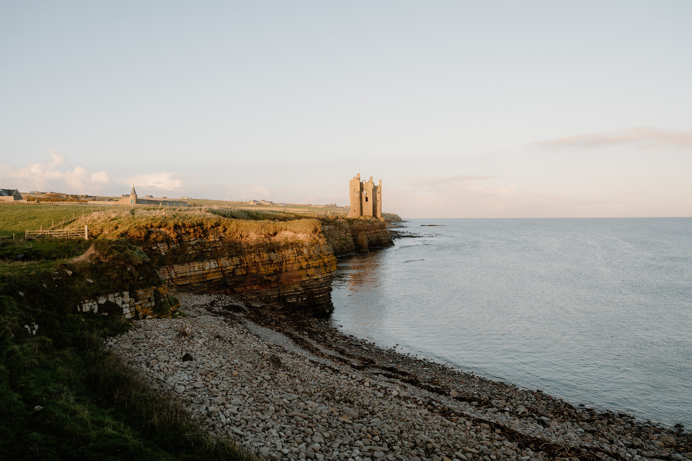
Keiss – Along the Cliffs to a Tower on the Edge
3½ miles · 2½ to 3 hours · there and back
dogs on a lead
North of Sinclair's Bay the Caithness coast is a line of low cliffs, cut by narrow inlets, with an Iron Age broch on one headland and a ruined castle on another.
The cliff-top path between them is part of the John o' Groats Trail. It's only three and a half miles there and back, but it's rough, narrow and unfenced, and it wants a dry, still day and a steady head.
Where it starts
Start at the Nybster Broch car park, a small one on the seaward side of the A99 between Keiss and Auckengill, 0.8 km (half a mile) south of Auckengill.
Is it for me?
Tap who is coming, or the day you have, for the answer on this walk.
Before you go
Getting there
No charge is published. For the short version, park in Keiss village and walk down to the harbour.
On the path
Two and a half to three hours for the 5.5 km (3.5 miles) from the Nybster Broch car park to Keiss Castle and back. About half an hour there and back from Keiss harbour. A short path to the broch, about 1 km there and back and uneven in places, then rough and narrow clifftop walking, steep and exposed in places; the John o' Groats Trail mentions gates to climb across and barbed wire on this stage. Boots. Unfenced cliffs the whole way: keep children beside you, and leave the very young at home. The map to carry is OS Landranger 12, Thurso & Wick (1:50,000).
Good to know
All year in daylight, and not in strong wind or rain. From November to January set off by 11am. Dogs on a lead near the cliff edge and near farm animals; never into fields with calves or lambs, and on a short lead or close at heel from April to July, when birds nest on the ground (the Scottish Outdoor Access Code). None listed or mapped at the car park; the nearest is the council's Comfort Scheme toilet at the Sinclair Bay Hotel in Keiss. The John o' Groats Trail warns of a risk of death from falling off cliffs along this coast. The castle is fenced off and unsafe to enter. Rough, narrow path, steep and exposed in places.
The walk
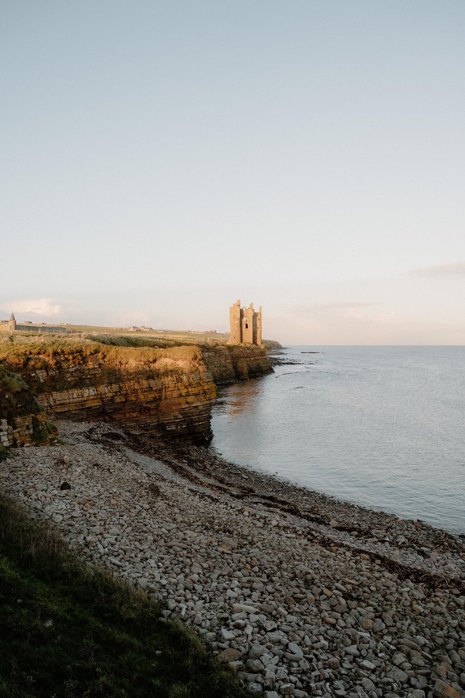
Park in the Nybster Broch car park, a small one on the seaward side of the A99 between Keiss and Auckengill, 0.8 km (half a mile) south of Auckengill. No toilet is listed or mapped there: the nearest is in Keiss, at the Sinclair Bay Hotel, under the council's Comfort Scheme. A short path of about a third of a mile, uneven in places, leads out to Nybster Broch, an Iron Age roundhouse on a headland above the sea. From there the walk goes south along the cliff tops, on the line of the John o' Groats Trail. Venture North, the Caithness visitor site, gives it as 5.5 km, or three and a half miles, to Keiss Castle and back, and allows two and a half to three hours. That's slow for the distance, and it tells you what the ground is like: rough, narrow cliff-top path, steep and exposed in places, past rocky inlets and the remains of wartime defences. Keiss Castle is a thin, broken tower standing on the very lip of the cliff. George Sinclair, the 5th Earl of Caithness, built it around the turn of the 17th century.
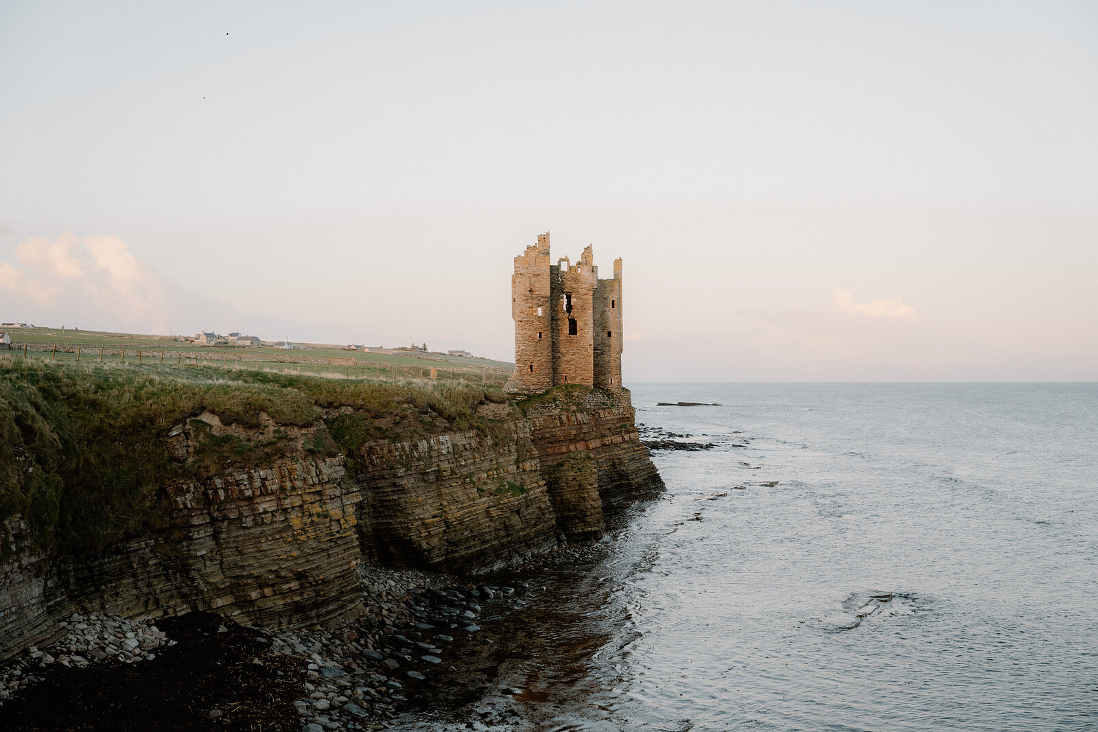
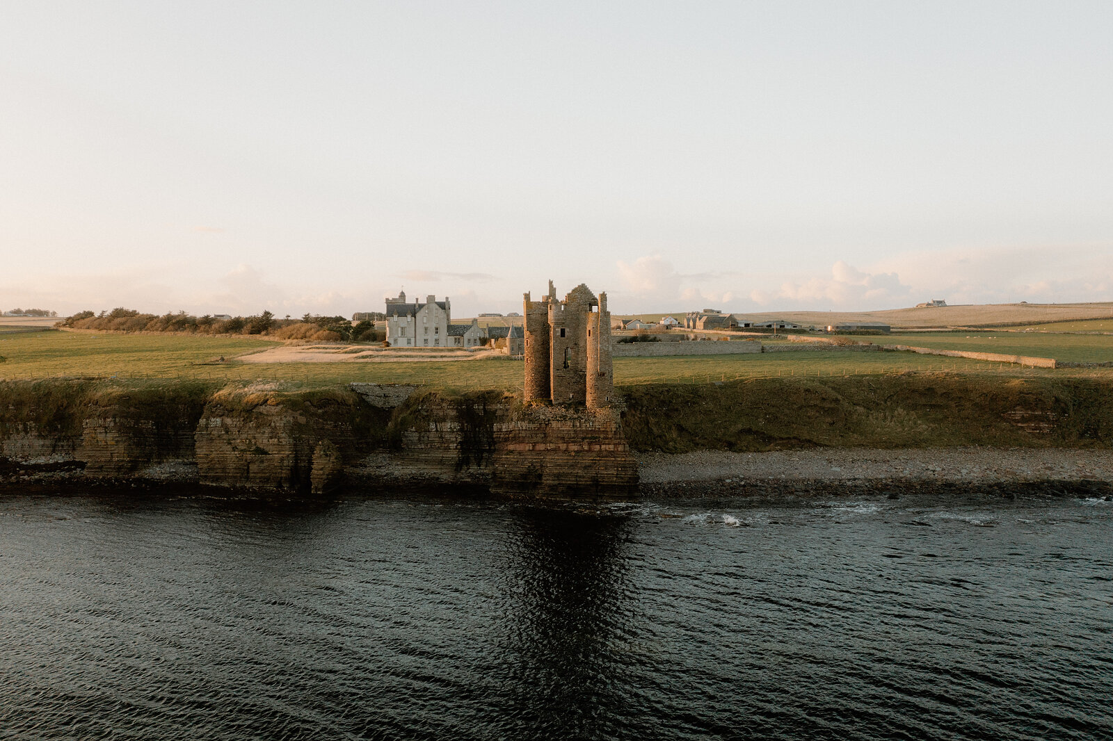
By 1700 it was ruinous, and Keiss House was built beside it about 1755; the house is private. The ruin is fenced off and unsafe to enter, because the cliff under it is wearing away: its north-east corner has already gone with the cliff. Look from the path. The view from the north, the one you get on this walk, is the best there is. The trail's own guide is blunt about this coast: it warns of a risk of death from falling off cliffs. Keep well back from every edge and keep children beside you. Dogs are allowed, on a lead near the edge and near farm animals. The Scottish Outdoor Access Code asks you to keep them out of fields with calves or lambs, and on a short lead or close at heel from April to July, when birds nest on the ground.
The trail's own guide to this stage mentions gates to climb across and barbed wire. In strong wind or rain, leave it for another day. For a short version, park in Keiss village, as there is little room at the harbour, and walk down to it. From the harbour the castle is about 15 minutes along the shore. From November to January, set off from Nybster by 11am. For lunch afterwards, try the No 1 Bistro at Mackays Hotel in Wick, which also serves dinner from 5.30pm: ring 01955 602323 for the lunch times and to book.
If it rains
There's no shelter on the cliffs, and wet grass and wind near an unfenced edge are the real danger. On a poor day take the short walk from Keiss harbour instead, or leave it.
After the walk
Coffee and cake, something to do with the rest of the day, and dinner, nearest the end of the walk first.
Straight after
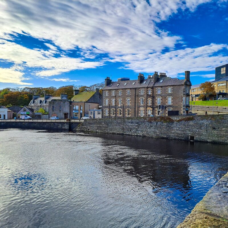 16 min by roadA restaurantNo 1 BistroThe bistro of Mackays Hotel in Wick, whose door is the only address on the world's shortest street, cooking Highland produce for lunch and dinner by the river.25 min by roadA restaurantPuldagon Farm ShopA family farm near Wick with a farm shop and a restaurant, serving its own Highland beef, lamb and pork, farmed by the family since 1925.
With the rest of the day
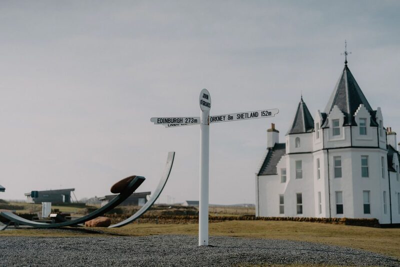 11 min by roadThings to doJohn o' GroatsThe village at the far north-east of mainland Britain, the end of the road from Land's End, with its signpost, a harbour for the Orkney ferry and Duncansby Head nearby.
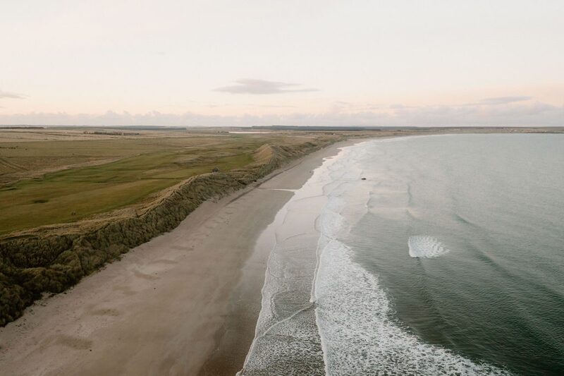 12 min by roadThings to doReiss SandsThe long white sands at the southern end of Sinclair's Bay north of Wick, below grassy dunes and a golf course, with castles at the far ends of the bay.
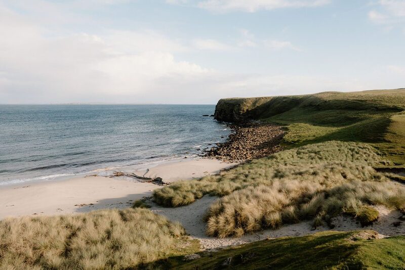 12 min by roadThings to doBay of SannickA small sandy bay between John o' Groats and Duncansby Head, below grassy headlands on the Pentland Firth, with seals in the water and Orkney across the sea.
For dinner
No 1 Bistro in Wick, 16 minutes by road. The bistro of Mackays Hotel in Wick, whose door is the only address on the world's shortest street, cooking Highland produce for lunch and dinner by the river.
Places to stay near the walk
Our places to stay nearest the start, by road.
An advert · Dunnet
House of the Northern Gate
A restored country house of 1894 on the Dunnet Estate in Caithness for up to 18, let to one group at a time, with its own beach a short stroll downhill.
Sleeps 18 · 28 minutes by road
See House of the Northern Gate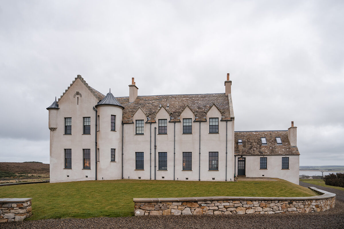
More walks near here
Within a short drive of the start.
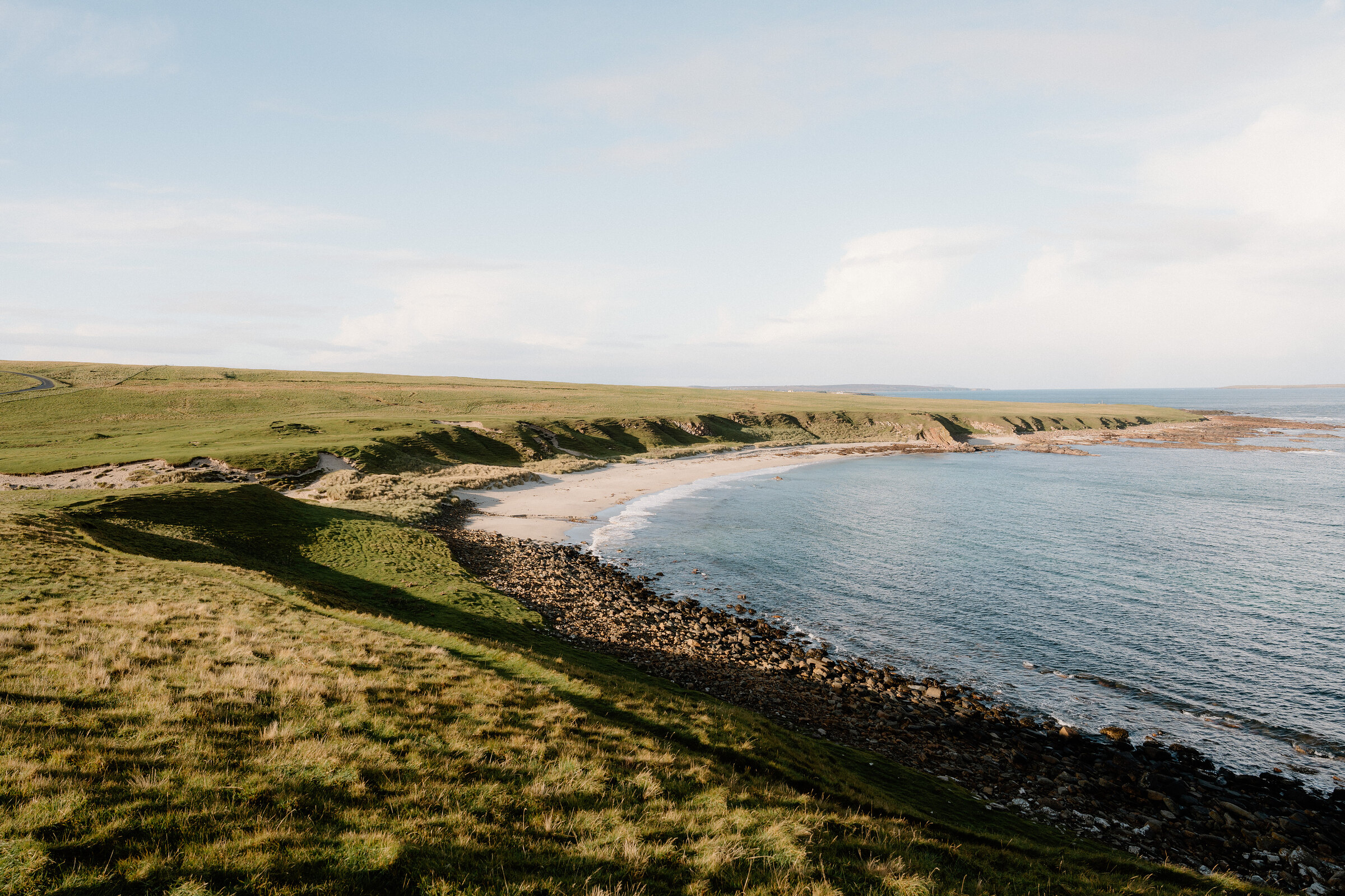 12 min by roadA walkDuncansby Head3½ miles, about 3 km each way, 6 km (3.7 miles) there and back, by the John o' Groats community site. No source gives a time for this walk. Foreshore and grassy clifftop, boggy in places, rising to about 50 m at the lighthouse car park by our reading of the heights
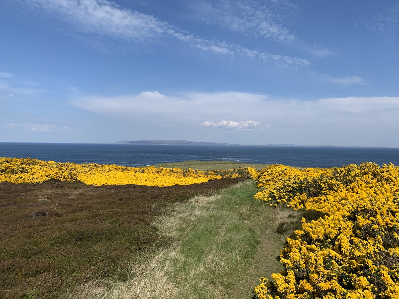 19 min by roadA strollSt John's Point1¾ miles, about two hours
Did this walk?
Tell the next person how it went. The best go on this page, with your name.
For further reading, before you go.
- Keiss Castle to Nybster Broch coastal walk, Venture Northventure-north.co.uk↗
- Keiss to John o' Groats, the John o' Groats Trailjogt.org.uk↗
- Nybster Broch, the Caithness Broch Projectthebrochproject.co.uk↗
- Keiss Castle, the Caithness Broch Projectthebrochproject.co.uk↗
- Old Keiss Castle, the Highland Historic Environment Recordher.highland.gov.uk↗
- Nybster Broch, the Highland Historic Environment Recordher.highland.gov.uk↗
- The route in detail, Walkhighlandswalkhighlands.co.uk↗
Maps from OpenFreeMap © OpenMapTiles, data © OpenStreetMap contributors; heights from Mapzen's terrain tiles.